Weber Hydroelectric Project FERC Project No. 1744 Draft Study ...
33
Weber Hydroelectric Project FERC Project No. 1744 Draft Study Plan Recreation November 2015 Prepared by: PacifiCorp Hydro Resources 1407 West North Temple, Room 110 Salt Lake City, UT 84116 For Public Review
Transcript of Weber Hydroelectric Project FERC Project No. 1744 Draft Study ...

Weber Hydroelectric Project FERC Project No. 1744
Draft Study Plan
Recreation
November 2015
Prepared by: PacifiCorp
Hydro Resources 1407 West North Temple, Room 110
Salt Lake City, UT 84116
For Public Review

Weber Hydroelectric Project-FERC Project No. 1744 Draft Study Plan – Recreation
November 2015 Page i
TABLE OF CONTENTS
1.0 INTRODUCTION ........................................................................................................................... 1 2.0 PROJECT AREA ............................................................................................................................. 1 3.0 PROPOSED RECREATION STUDY ............................................................................................. 3
3.1 Existing Information ................................................................................................................ 3
3.2 Nexus to Project ....................................................................................................................... 5
3.3 Study Area ............................................................................................................................... 5
3.4 Methods ................................................................................................................................... 6
3.4.1 Recreation Supply Analysis ............................................................................................. 6
3.4.2 Recreation Use and Demand Analysis ............................................................................. 7
3.4.3 Whitewater Boating Feasibility Study .............................................................................. 8
3.4.3.1 Whitewater Boating Hydrology Analysis ........................................................ 8
3.4.3.2 Whitewater Boating Use and Demand Analysis .............................................. 9
3.4.3.3 Whitewater Boating Needs Analysis .............................................................. 14
3.4.4 Recreation Needs Analysis ............................................................................................. 14
3.4.5 Reporting ........................................................................................................................ 14
3.5 Level of Effort and Cost ........................................................................................................ 15
4.0 REFERENCES ............................................................................................................................... 16
List of Figures
Figure 1. Weber Hydro Relicensing Project Location ............................................................... 2
List of Tables
Table 1. Whitewater Boater Take-Out Site Feasibility Assessment ..................................................... 11
List of Appendices
Appendix A – Draft Weber Recreation Site Recreation Visitor Use Survey Appendix B – Draft Weber River Whitewater Boating Interview Survey

Weber Hydroelectric Project-FERC Project No. 1744 Draft Study Plan – Recreation
November 2015
Page 1
1.0 INTRODUCTION
PacifiCorp, a subsidiary of Berkshire Hathaway Energy, plans to file a new application for relicense of a major project, the Weber Hydroelectric Project (Project), Federal Energy Regulatory Commission (FERC or Commission) Project No. 1744, on the Weber River in Weber, Morgan, and Davis counties in Utah. The current license will expire on May 31, 2020. The Project has a generation capacity of 3.85 megawatts (MW) and is located partially on federal lands managed by the Wasatch-Cache National Forest, and partially on lands owned by the Union Pacific Railroad Company. PacifiCorp filed a Notice of Intent to File Application for New License (NOI) and a Pre-Application Document (PAD) to initiate FERC’s Alternative Licensing Process (ALP) for the Project on May 29, 2015.
PacifiCorp proposes to conduct a Recreation Resource Study to meet FERC licensing requirements and address study requests from American Whitewater (AW), Trout Unlimited (TU), and the Utah Division of Wildlife Resources (UDWR). The study will include the following four phased components: 1) an inventory of existing recreation facilities and opportunities in the Project vicinity, 2) a recreation use and demand study, 3) a whitewater boating feasibility study, and 4) a recreation needs assessment.
2.0 PROJECT AREA
For the purposes of this document, the FERC Project Boundary (or Project Boundary) is defined as all lands and waters within the existing FERC Project Boundary for the Weber Hydroelectric Project No. 1744, as denoted on the project’s Exhibit G. The Project Area is the area which contains all project features (encompassing the FERC Project Boundary as defined above), and which extends out for the purposes of characterization and analysis from the furthest edge of the Project Boundary, and across the river to the far riverbank (including the river regardless of which side of the river the project features are found), as shown in Figure 1.
The existing Project consists of:
(1) a 27-foot-high, 79-foot-long concrete diversion dam, having two radial gates approximately 29 feet wide, and a 35-foot-wide intake structure, for a total width of 114 feet, on the Weber River;
(2) a 9,107-foot-long, 5-foot to 6.3-foot diameter steel pipeline partially encased in concrete beginning at the intake and terminating at the powerhouse on the Weber River;
(3) a 3-foot by 18-foot non-operative fish passage structure (used however to pass the minimum flow through the calibrated slide gate opening);
(4) a powerhouse containing a generating unit with a rated capacity of 3,850 kilowatt (kW) operating under a head of 185 feet producing a 30-year average annual energy output of 16,932 megawatt-hours (MWh);

Weber Hydroelectric Project-FERC Project No. 1744 Draft Study Plan – Recreation
November 2015 Page 2
Figure 1. Weber Hydro Relicensing Project Location

Weber Hydroelectric Project-FERC Project No. 1744 Draft Study Plan – Recreation
November 2015 Page 3
(5) a discharging pipe returning turbine flows into the Weber River at the powerhouse;
and,
(6) a 77-foot-long, 46-kilovolt (kV) transmission line which connects to the Weber substation.
3.0 PROPOSED RECREATION STUDY
FERC guidelines identify the requirement to assess recreation needs as part of a license application. The goal of this study is to compile existing data and develop additional information to support a new FERC license application for continued future operation of the Project. PacifiCorp proposes to conduct a Recreation Resource Study to meet FERC licensing requirements and address study requests received from stakeholders, specifically, AW, TU, and UDWR. The study will include the following three components: 1) an inventory of existing recreation facilities and opportunities in the Project vicinity, 2) a recreation use and demand study, 3) a discussion of whitewater boating use and opportunities in the Project area, and 4) a recreation needs assessment.
The study has two principal objectives:
Characterize existing recreation opportunities and use levels (including those for whitewater boating) in the Project vicinity. Existing recreation facilities and opportunities (recreation resource supply) in the Project vicinity will be identified and mapped. Use of recreation facilities in and near the Project Study Area (recreation resource demand) including the existing day-use Weber Recreation Site will be summarized based on use data, if available, or estimates.
Identify both existing and future recreation needs (including those for whitewater
boating) related to the Project over the term of the new license. Existing needs will be identified based on current use data and agency consultation. An estimate of future demand for recreation opportunities at the Project will be made.
3.1 Existing Information
As stated in the PAD, The Project Area is located within Weber Canyon and is surrounded by the Uinta-Wasatch-Cache National Forest and Union Pacific Railroad (UPR) lands. The Uinta-Wasatch-Cache National Forest is adjacent to the highly populated and urbanized Wasatch Front, which stretches from Nephi to Brigham City and includes the state capital of Salt Lake City. The western mouth of Weber Canyon is approximately 8 miles from the Ogden city center and 30 miles north of Salt Lake City. The western edge of the Project Area is approximately 9 miles from the Ogden city center. Recreation is the dominant land use in the National Forest and includes activities such as camping, hiking, fishing, picnicking, biking, snowmobiling, and cross-country and downhill skiing.
Weber Canyon offers opportunities for fishing along the Weber River and limited (due to the lack of safe and legal access) hiking along the canyon slopes. Approximately 1,500 feet east
Weber Hydroelectric Project-FERC Project No. 1744 Draft Study Plan – Recreation
November 2015 Page 4
of the Weber Hydroelectric Project’s diversion dam, on Interstate 84, the Utah Department of Transportation (UDOT) maintains a rest stop. The rest stop has restrooms, water, picnic tables, river access for handicapped persons, viewpoints, and irrigated landscaping. UDOT maintains another rest stop approximately 2 miles east of the Project Area. There is also an existing recreation site located on U.S. Forest Service (USFS) lands and operated by PacifiCorp in the Project Area immediately northwest of the Weber diversion dam that includes a small parking area, five picnic tables, a grassy area, fishing access to the river below the dam, fishing access to the forebay with a platform for disabled persons, and a portable toilet that is available on a seasonal basis. Using raw vehicle count data and the National Park Service’s vehicle occupancy multiplier (2.4 during off-season and 2.7 during peak season) on a counter located for a year at the entrance road to the Weber diversion dam and associated recreation site, PacifiCorp estimated that approximately 19,454 people visited the recreation site in the Project Area during 2014, with 13,687 visitors during the off season and 5,767 visitors during the peak season (the Friday before Memorial Day through Labor Day). No information exists regarding specific uses of the area by the visitors noted above during 2014, although some may have just been curious as to where the entrance road led.
Extensive angling use occurs in the bypass reach downstream of the recreation site located at the Weber project dam. UDWR completed a creel survey in the Weber River from the mouth of Weber Canyon upstream to the confluence with Lost Creek. An estimated 66,606 angler trips were made during 2013 to this reach of the Weber River (Nadolski and Penne, 2013, in draft). While the creel survey did not quantify the number of anglers specifically using the bypass reach, it would be safe to assume that many of the estimated 19,454 visitors to the recreation site in 2014 were anglers.
While not designated as a Scenic Highway, Interstate 84 is popular for scenic driving, and at least one recreational loop drive crosses the Project Area. One of these recreational loop drives is popular for Ogden residents and involves taking Interstate 84 through Weber Canyon, past the Project Area at its east end, continuing north on Trappers Loop Road for 8 miles to Pineview Reservoir, and then returning to Ogden through Ogden Canyon via State Highway 39 along the Ogden River.
Although the Weber River overall offers some of the closest paddling to Wasatch Front communities, currently there are limited whitewater boating opportunities within the Project Area. In fact, the existing Class III-IV boatable section is relatively short and has limited safe and legal access due to the constraints on the Project Area of Interstate 84 and a non-Project irrigation diversion dam located immediately below the powerhouse. When water is available (generally when there is at least 650-700 cfs in the river above the diversion dam, assuming 320-365 cfs is being diverted into the project flowline), boaters can easily access to put in on the boatable reach immediately downstream of the existing Weber recreation site. However, after boating the ‘Horseshoe’, aka., ‘Scrambled Eggs’ section of the bypassed reach, boaters must either carry their boats back upstream along the old highway and back to the put-in, or continue downstream and portage the non-Project diversion located immediately below the powerhouse. This diversion is owned by the Weber-Davis Irrigation Company, and it commonly takes most or all of the flow in the Weber River at that point, limiting options to continue downstream. This reach of the river is further constrained by being located between the two lanes of I-84, and the only access route to this area is the road to the Weber-Davis
Weber Hydroelectric Project-FERC Project No. 1744 Draft Study Plan – Recreation
November 2015 Page 5
irrigation diversion dam, which is gated and locked downstream of the potential portage area. Thus, although there is a short desirable boatable reach in the Project Area, accessing this section safely is problematic, and in fact the only other access to the only boatable reach (via the old highway) has been gated and locked by UDOT to prevent recreationists from using a freeway pullout that is considered unsafe due to the lack of acceleration and deceleration lanes. Further, due to geomorphology constraints, there is no room for acceleration or deceleration lanes in the Project Area. As a result of these factors, existing whitewater boating opportunities within the Project Area are constrained by the limited safe or legal egress routes (carrying back up to the put-in) for anyone putting in on the river at the recreation site.
Other than those opportunities described above, other recreation opportunities are limited in the Project Area due to the existence of Interstate 84, the Union Pacific Railroad, two pipelines, a fiber optic line, steep terrain, and limited safe and legal access. The potential for trails is limited due both to safe access limitations and because users would have to traverse either the channelized river (and cross under the existing I-84 bridge) or steep canyon walls on either National Forest or private UPR lands.
3.2 Nexus to Project
The Project has potential direct and indirect effects on recreation resources within and adjacent to the Project boundary and in the affected reach of the river downstream of the dam. These effects include providing public access to natural open space areas within and surrounding the Project for a variety of recreation activities, and access to and use of the river, forebay and tailrace for recreation purposes. PacifiCorp has developed and operates the existing Weber Recreation Site. User-defined trails from the Weber Recreation Site to the old highway to the west (crossing under I-84) allow unrecorded use of National Forest lands during all seasons, most commonly for anglers. The forebay access road is used in all seasons to access the river both above and below the recreation site, again, most commonly for angling. The existing site is used for picknicking, most commonly in late spring and summer, as the low sun angle (due to the narrow canyon walls) creates relatively cold and windy winter-like conditions that tend to discourage many but the most cold-hardy users.
Study results will help inform PacifiCorp, USFS, AW, TU, and other stakeholders by synthesizing the information collected during the recreation studies and defining existing and future recreation needs that can reasonably be addressed by the Project and that may be considered for implementation during a new license term.
3.3 Study Area
The Study Area will include the Project Area as described above and shown on Figure 1 along the Weber River from the diversion dam to the powerhouse, including lands owned by the USFS or Union Pacific Railroad, as described in the PAD. Note that the Study Area as defined includes the riverbank across from the powerhouse that will be looked at as a potential boater take-out site (this area is within the existing FERC Project Boundary and is covered by PacifiCorp’s USFS Special Use Permit for the Project, but is also located at the

Weber Hydroelectric Project-FERC Project No. 1744 Draft Study Plan – Recreation
November 2015 Page 6
terminus of the access road leading to the Weber-Davis Canal Company’s intake gates and related infrastructure).
3.4 Methods
This section provides a description of the proposed study methodology, including data collection and analysis techniques, or objectively quantified information, and a schedule including appropriate field season(s) and the duration.
The study methods involve the following four subtasks described below:
Recreation Supply Analysis that will inventory recreation facilities and use areas in the Project Area and their condition;
Recreation Use and Demand Analysis that will identify existing recreational demand in the Project area and estimate future demand for various activities of interest;
Whitewater boating feasibility study that will evaluate whitewater boating use on the Weber River and possible enhancement measures for whitewater boating opportunities within the Project’s bypassed reach;
Recreation Needs Analysis that will synthesize, compile and analyze the results of all of the above analyses into one synthesis study report. This analysis will identify existing and future recreation needs over the potential term of the new license (30 to 50 years).
The study will look at Project-specific recreation supply and capacity, demand, and current and future needs in the context of the local supply and projected demand to determine if the existing Project recreation facilities are fulfilling their intended purpose and meeting recreation needs at the Project. The results of this analysis will be directly used in the development of recreation resource enhancement measures that will be proposed in the license application.
3.4.1 Recreation Supply Analysis
In this subtask, existing recreation inventory information will be reviewed, compiled and updated as needed following FERC Project recreation facilities table guidance (FERC 2014). This analysis will describe the inventory (i.e., number of picnic sites, parking capacity, etc.) and condition status of existing Project recreation facilities, including compliance with current and proposed Americans with Disabilities Act (ADA) Accessibility Guidelines, as amended. Project recreation facilities will be observed in the field to determine their current condition. Maintenance practices of the facilities will be identified and evaluated. Points of public access and trails in the Project area will be identified. Existing maps and features will be updated as necessary. The condition assessment of Project recreation facilities and informal recreation sites will use systematic and objective criteria for rating each site. To provide additional local context, inventory information for recreation facilities in the vicinity will be summarized based on information obtained from the USFS and other entities such as state parks, Bureau of Reclamation, and county facilities. The inventory of recreation
Weber Hydroelectric Project-FERC Project No. 1744 Draft Study Plan – Recreation
November 2015 Page 7
facilities in the vicinity of the Project will clearly identify the relationship of these recreation facilities to the Project Boundary and who is responsible for the management of each inventoried recreation site.
This subtask will also inventory and assess Project lands for sites that are used for dispersed recreational activities (i.e., informal recreation sites). The presence of user-defined trails (e.g. the user-defined trail from the Weber Recreation Site extending under I-84 that is currently used to access the fishing and whitewater section of the by-passed reach), fire-rings, compacted or eroded soil, trampled vegetation, and litter/sanitary problems on Project lands will be used to help identify the occurrence of informal recreation sites. These features will be mapped and described in a similar fashion to Project recreation facilities.
3.4.2 Recreation Use and Demand Analysis
This subtask will identify the visitor demand for recreation activities that are pertinent to the Project and how this demand will be anticipated to change in the future over the term of the new license. Information will be obtained from various sources, such as the State Comprehensive Outdoor Recreation Plan (SCORP) and USFS, to help determine predicted changes in anticipated demand for outdoor recreation activities associated with the Project. This information will be combined with updated national and regional demand forecasts from other recent publications.
Recreation use data for the Project will be derived from the 2015 FERC form-80 data. To provide additional local context, use of other local recreation areas will be summarized based on use data if available or estimates. Recreation use will be estimated in recreation visits, recreation visitor days (RVDs), and site occupancy rate as appropriate. A recreation visit is defined as a visit by one person to a recreation area for any portion of a single day. An RVD is defined as 12 hours of use by any combination of users to a recreation area. Site occupancy rate will be reported as a percentage of total sites occupied at a facility for a particular period of time.
A recreation visitor survey (Appendix A contains a draft version of the survey that will be finalized with interested stakeholders prior to use on the Project) will be conducted at the Weber Recreation Site through the use of a questionnaire to assess the attitudes, preferences and characteristics of the primary user group. This is the only location where recreation visitor surveys will be conducted or distributed because this is the only safe, legal access point to the by-passed reach of the river. The survey will potentially be distributed to site users via direct contact. Weber Site users will be asked to fill out the questionnaire either on-site or after their visit and return it to PacifiCorp via U.S. Mail or email. The following topics could be addressed on the survey form:
Socio-demographic characteristics (age, gender, etc); Visitor activities (general and primary); Trip characteristics (group size, length of trip and other sites visited, etc); Crowding and capacity issues; Opinion of adequacy/condition of facilities; Location of primary residence (zip code);

Weber Hydroelectric Project-FERC Project No. 1744 Draft Study Plan – Recreation
November 2015 Page 8
The visitor survey will be patterned after surveys routinely administered by researchers for similar hydroelectric projects. Additional questions may be added or modified to address Project-specific needs and issues. However, the number of questions asked will need to be limited so that the questionnaire does not become too long therefore reducing the response rate.
Use (by unrecorded National Forest visitors) of user-defined trails leading from the developed Weber Site to the user-defined trail west to the old highway may also be estimated from Memorial Day through Labor Day (late May-early September). A beam traffic counter could be hidden and placed near the intersection of the developed Weber Site path and the user defined trail. The beam counter will be calibrated for pedestrian recording and the beam set to minimize triggering by wildlife and moving vegetation. Data would be downloaded monthly and the counter reset. The monthly total of counter hits would be divided by two to eliminate double counting due to users coming and going.
Year-round use of the forebay access road just beyond its intersection with the UDOT rest area was estimated using a traffic counter and standard occupancy estimates in 2015. This information may be further refined and categorized for this Study Plan.
3.4.3 Whitewater Boating Feasibility Study
To conduct the study, PacifiCorp proposes to follow the Level 1 methodologies summarized in “Flows and Recreation: A Guide to Studies for River Professionals” (Whittaker, Shelby and Gangemi 2005). The study methods involve the following three subtasks described below.
(1) Whitewater Boating Hydrology Analysis that will study the effects of flow-dependent recreational boating opportunities on the river segments within the Project Study Area.
(2) Whitewater Boating Use and Demand Analysis that will identify existing recreational demand in the Project Study Area and estimate future demand for whitewater boating activity.
(3) Whitewater Boating Needs Analysis that will compile, synthesize, and analyze the results of the above analyses into one synthesis study report. This analysis will identify existing and future whitewater boating needs over the potential term of the new license (30 to 50 years).
3.4.3.1 Whitewater Boating Hydrology Analysis
PacifiCorp will describe the existing hydrology of the Project Study Area and analyze the influence of fluctuating river flows on boating opportunities within the bypass reach. PacifiCorp will use relevant hydrology data provided by the U.S. Geological Survey (USGS) database from USGS gauging station 10136500, located at the Gateway Weber River site approximely one mile upstream of the Project diversion, as well as PacifiCorp and irrigation/
Weber Hydroelectric Project-FERC Project No. 1744 Draft Study Plan – Recreation
November 2015 Page 9
water conservancy district operations records, as appropriate, to characterize the flows in the Project Area. PacifiCorp will describe how Project operations affect the hourly, daily, and monthly flows and potential recreation opportunities within the bypassed reach. This summary of information may also include interviews with people knowledgeable about the river system and boating opportunities in the reach. This subtask will also summarize recreation-relevant hydrology, describe the Project Study Area reach and its usability based on topographic analysis, and evaluate any existing and potential operational constraints on existing or alternative flow regimes. These features will be mapped and/or described. If this analysis and the use and demand analysis described below identify a potential need for enhanced boater flows through flow releases, ramping rates will also be assessed to ensure the safety of anglers and that fish stranding is limited. Appropriate on-site and/or electronic notice of any resultant boater flows may also be addressed; PacifiCorp may also look at the feasibility of providing updated and more-site specific flow information than that currently available to the public at the Weber River Gateway USGS gage location. 3.4.3.2 Whitewater Boating Use and Demand Analysis
This subtask will focus on identifying and surveying stakeholders and focus groups with an interest in whitewater resources affected by the Project. A stakeholder and focus group meeting will be conducted early (likely by March) in 2016. The purpose of this meeting is to gain first-hand information regarding recreation flows, boating access, and potential boating needs within the bypassed reach. The meeting will include a presentation on the results of the hydrology analysis and existing information on recreation access and known boatable flows. This discussion will provide an opportunity for stakeholders to gain a deeper understanding of the operational dynamics of the Project and how the Project impacts Weber River flows. PacifiCorp will query attendees regarding their desire for a site visit. PacifiCorp will schedule a subsequent site visit, if desired by attendees.
PacifiCorp will conduct the following activities to complete this subtask.
Conduct a formal survey of whitewater boaters, user groups and others to determine the types and locations of whitewater boating activity occurring within the bypassed reach of the Weber River and a range of conditions (including flows) generally acceptable to whitewater boaters with various skill levels (see Appendix B for a draft survey; the survey will be finalized with interested stakeholders prior to use at the project). The survey will include interviews with whitewater boaters and experts familiar with whitewater resources in the Project Area. American Whitewater and other interested stakeholders will be asked to review and comment on the final survey questionnaire.
Based on surveys/interviews with whitewater boaters, identify a range of flows that are acceptable or optimal for whitewater boating in the Study Area and indicate what level of challenge these flows offer based on the International Scale of River Difficulty (Class I – Class VI). Additionally, assess the Project’s bypassed reach

Weber Hydroelectric Project-FERC Project No. 1744 Draft Study Plan – Recreation
November 2015 Page 10
including commercial and non-commercial use, trip length, and seasonal considerations.
For the study reach, briefly describe the river environment and existing and potential
boating activity that could occur at a range of flows. To the extent practical, estimate current and future use that might be expected for the whitewater boating season.
Identify and describe any present whitewater boating use in nearby waterways.
If study results warrant, develop recommendations for enhancing whitewater boating opportunities at the Project.
This subtask will also consider existing and potential sites for access (put-in and take-out sites) and portage along the Study Area, as well as confirm USFS land ownership of the areas that could be used to access the river. Considerations for take-out sites will be limited to the area across the river from the powerhouse. However, access to this area is behind a locked gate. There is the potential to consider an alternate take-out site just downstream from the area across the river from the powerhouse in the event that the locked gate issue cannot be resolved. There is likely no need to consider both of these sites simultaneously because they are similar in most respects with the exception of constraints associated with the locked gate (i.e., one take-out site is behind the locked gate and the other take-out site is not).
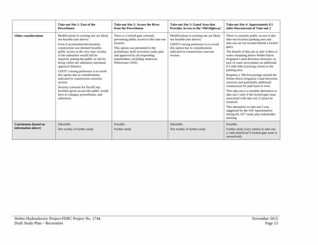
To narrow down take-out sites for detailed consideration in the analysis to the one identified above, PacifiCorp reviewed the benefits and constraints of a total of four take-out sites regarding a number of factors. The results of this review, including all the take-out sites considered, are provided in the table below (Table 1).

Weber Hydroelectric Project-FERC Project No. 1744 Draft Study Plan – Recreation
November 2015 Page 11
Table 1. Whitewater Boater Take-Out Site Feasibility Assessment
Take-out Site 1: East of the Powerhouse
Take-out Site 2: Across the River from the Powerhouse
Take-out Site 3: Gated Area that Provides Access to the ‘Old Highway’
Take-out Site 4: Approximtely 0.5 miles Downstream of Take-out 2
Proximity to terminus of whitewater run (approximate miles)
~1.25 mile float ~1.25 mile float ~0.25 mile hike
Closest
a. 1.25 mile float + 700ft portage to additional 0.5 mile float
b. 1.25 mile float+ 0.5 mile hike to parking (if insufficient water available below Weber-Davis diversion)
Furthest
Site topography and bank slope to river
Steep, rocky Shallow, dirt/gravel Steep, rocky Shallow, dirt/gravel
Number of vehicles accommodated
8-10 (MED) 20-25 (MED-HIGH) 3-5 (LOW) 25-30 (MED-HIGH)
Acceleration/deceleration lanes required on I-84
(See row below for details related to feasibility of accel/decel construction)
YES
Deceleration from the left (fast) lane would be required to access the area east of the powerhouse. Re-entry onto I-84 would require an acceleration lane west of the powerhouse. Re-entry onto I-84 at this location is into the left (fast) lane.
NOTE: At present only PacifiCorp personnel or others with permission from PacifiCorp are allowed to access the powerhouse site. This is for safety and site security reasons.
NO
Access to take-out is off of I-84, from South Weber Drive
YES
Deceleration and acceleration lanes would be required for vehicles to safely pull off of I-84 and pull back on to I-84
NOTE: In recent years UDOT has instructed the Utah Highway Patrol to ticket vehicles parked on the shoulder of I-84 through the canyon (including this location). This is intended, for safety reasons, to prevent vehicles from parking in the canyon unless parking is required for other reasons (vehicle breakdown, flat tire, etc.). The gate was added in 2007 to prevent illegal access to the freeway margin leading to the ‘old highway.’ The closure was initiated for safety reasons specifically associated with a lack of deceleration/acceleration lanes on this section of I-84.
NO
Access to take-out is off of I-84, from South Weber Drive

Weber Hydroelectric Project-FERC Project No. 1744 Draft Study Plan – Recreation
November 2015 Page 12
Take-out Site 1: East of the Powerhouse
Take-out Site 2: Across the River from the Powerhouse
Take-out Site 3: Gated Area that Provides Access to the ‘Old Highway’
Take-out Site 4: Approximtely 0.5 miles Downstream of Take-out 2
Construction concerns and complications
HIGH+
There is no known way to provide a safe deceleration lane due to the constraints of the canyon in this location: steep canyon walls, east-bound and west-bound sections of I-84 are separated by the powerhouse area, river banks and river bed, presence of the project penstock, Union Pacific Railroad (UPRR) lines, and other linear features such as transmission lines and multiple pipelines.
In addition, development of this area for take-out would create impacts that are not warranted relative to the potential benefits of this location for boaters. These impacts (which are likely significant) include, but are not limited to, the following resources: socioeconomics, vegetation, geology/soils, wildlife, and cultural.
MED-LOW
Limited construction concerns and complications including underlying landownership and control issues
HIGH+
Building deceleration and acceleration lanes and a parking area here is likely not possible due to constraints of the canyon in this location: steep canyon walls, presence of the project penstock, UPRR lines, and other linear features such as transmission lines and multiple pipelines.
In addition, development of this area for take-out would create impacts that are not warranted relative to the potential benefits of this location for boaters. These impacts (which are likely significant) include, but are not limited to, the following resources: socioeconomics, vegetation, geology/soils, wildlife, and cultural.
MED-LOW
Limited construction concerns and complications including underlying landownership and control issues
May include additional construction/improvements of a path to the river.
Cost range to develop site $$$$$ (millions) $ $$$$$ (millions) $$
Current property ownership/control
U.S. Forest Service/PacifiCorp
New USFS Special Use Permit would include boater access to this site
Permission and permits required from all state and federal transportation agencies
U.S. Forest Service/Weber-Davis Irrigation Company
New USFS Special Use Permit would need to include boater access to this site
UPRR/UDOT ROW
Permission and permits required from all state and federal transportation agencies
U.S. Forest Service/; adjacent to South Weber Irrigation Company facilities
New USFS Special Use Permit would need to include boater access to this site
Safety concerns HIGH+
Requires boaters to exit I-84 west-bound from the left (fast) lane and decelerate quickly; requires boaters to accelerate west-bound into the left (fast) lane with limited visibility; not possible to construct deceleration and acceleration lanes on this section of I-84; providing this take-out location for boaters would put boaters in close proximity to substation and powerhouse particularly when exiting the location west-bound.
LOW
Take-out is located under I-84 and in close proximity to other infrastructure.
HIGH
Requires boaters to exit and re-enter I-84 west-bound from the freeway shoulder on a curve in the road with limited visibility.
LOW
Portage is located under I-84 and in close proximity to other infrastructure.
Weber Hydroelectric Project-FERC Project No. 1744 Draft Study Plan – Recreation
November 2015 Page 13
Take-out Site 1: East of the Powerhouse
Take-out Site 2: Across the River from the Powerhouse
Take-out Site 3: Gated Area that Provides Access to the ‘Old Highway’
Take-out Site 4: Approximtely 0.5 miles Downstream of Take-out 2
Other considerations Modifications to existing site are likely not feasible (see above)
Even if acceleration/deceleration construction was deemed feasible, public access in the very near vicinity of the substation would still be required, putting the public at risk by being within the substation minimum approach distance.
UDOT’s strong preference is to avoid this option due to considerations indicated in construction concerns section.
Security concerns for PacifiCorp facilities given access the public would have to cottages, powerhouse, and substation.
There is a locked gate currently preventing public access to this take-out location
This option was presented in the preliminary draft recreation study plan and approved by all responding stakeholders, including American Whitewater (AW).
Modifications to existing site are likely not feasible (see above).
UDOT’s strong preference is to avoid this option due to considerations indicated in construction concerns section.
There is currently public access to this take-out location (parking area and take-out are not located behind a locked gate).
The benefit of this site is only if there is water remaining below Weber-Davis Irrigation Canal diversion structure; as lack of water necessitates an additional 0.5 mile hike (carrying a boat) to the parking area.
Requires a 700-foot portage around the Weber-Davis Irrigation Canal diversion structure and potentially additional construction for path back to river.
This take-out is a suitable alternative to take-out 2 only if the locked gate issue associated with take-out 2 cannot be resolved.
This alternative to take-out 2 was suggested by the AW representative during the 10/7 study plan stakeholder meeting.
Conclusions (based on information above)
Infeasible
Not worthy of further study
Feasible
Further study
Infeasible
Not worthy of further study
Feasible
Further study (very similar to take-out 2; only beneficial if locked gate issue is unresolved).
Weber Hydroelectric Project-FERC Project No. 1744 Draft Study Plan – Recreation
November 2015 Page 14
3.4.3.3 Whitewater Boating Needs Analysis
This subtask will provide a synthesis of the previous two study components. The synthesis report will summarize the description of the optimum hydrologic recreational boating flows, and Project effects on recreation flows, recreation access to the Project, and potential improvements and information needs to consider as part of the relicensing process. In addition, opportunities for meeting existing and future needs through the scheduling of boatable flows during the typical boating season (generally mid-March through June, when flows exceed 650 cfs at the Gateway USGS gage) in the Project bypassed reach will be examined. The need to advance to Level 2 studies is predicated on answers to the following questions, which will be addressed in the analysis:
Are there flow-dependent recreation opportunities, including safe and legal access and egress, available on the Weber River?
Are flow-dependent opportunities affected by Project operations? Are flow-dependent recreation opportunities “important” relative to other resources
or foregone generation? Does Level 1 information precisely define flow ranges?
3.4.4 Recreation Needs Analysis
This subtask will provide a synthesis of the previous study results and analysis of Project-related recreation needs and opportunities over the term of the new license. In this analysis, existing recreation needs will be identified and future needs will be projected for increments of time (e.g., 10-year periods) over a 50-year timeframe. Recreation needs will be assessed in terms of how existing facilities meet those needs and projected future needs. In addition, opportunities for meeting existing and future needs through the development of future recreation facilities in the Project Area will be examined. Recreation needs identified in the Project Area will be coordinated with other resource specialists to help identify and minimize potential resource conflicts. Specific components of this analysis will include:
An analysis of recreation needs at the Project over time (i.e., estimate of the number of total picnic sites, parking spaces, access points, trails, etc. needed in the future based on demand); and
An identification of developed and dispersed recreation needs at the Project, both existing and future (in 10-year increments). These needs will be put in the context of local opportunities available and what can reasonably be addressed by the Project.
3.4.5 Reporting
The initial study report will be made available for 30-day stakeholder review and comment by fall of 2016. The initial study report will describe the study methods and findings, field
Weber Hydroelectric Project-FERC Project No. 1744 Draft Study Plan – Recreation
November 2015 Page 15
survey methods, schedule, and results. Maps will include the Study Area, major Project features (e.g. powerhouse, roads, dam etc), survey routes, and recreation feature locations, with unique identification labels for each. The report will present the results of the recreation supply, use and demand analysis, discuss any potential Project effects on recreation opportunities, and provide possible mitigation measures. The study report will also include initial information regarding whether an additional year of phased study (Level 2, as described above) is warranted.
3.5 Level of Effort and Cost
The anticipated level of effort and estimated cost of the work as proposed in this Study Plan is $75,000 to $150,000, depending on the phased level of required studies. The cost estimate covers time to review existing data sources, obtain required new data, interview knowledgeable boaters, evaluate current and future use, describe any enhancement opportunities, and prepare maps and reports.
Weber Hydroelectric Project-FERC Project No. 1744 Draft Study Plan – Recreation
November 2015 Page 16
4.0 REFERENCES
Federal Energy Regulatory Commission (FERC). 2014. Project Recreation Facilities Tables and As-built Site Plan Drawing Guidance. Office of Energy Projects, Division of Hydropower Administration and Compliance, 888 First Street, N.E. Washington, D.C. 20426. Available at: https://www.ferc.gov/industries/hydropower/gen-info/guidelines/as-built-site-plan.pdf. Accessed October 26, 2015.
Whittaker, D., Shelby, B., & Gangemi, J. (2005). Flows and Recreation: A Guide to Studies for River Professionals.

Appendix A
Draft Weber General Recreation Visitor Use Survey (to be finalized prior to use in 2016)

A-1
WeberGeneralRecreationVisitorUseSurvey
PacifiCorp Weber River Hydroelectric Project – Weber Canyon, Weber, Morgan, and Davis Counties, Utah
Introduction
PacifiCorp owns and operates the Weber Hydroelectric Project on the Weber River in Weber, Morgan, and Davis counties in Utah. This Project is operated under a license granted by the Federal Energy Regulatory Commission (FERC Project No. 1744). That license is nearing the end of its term and PacifiCorp has begun the process of renewing the Project’s license. PacifiCorp would like to take this opportunity to evaluate the recreation uses associated with the Project.
PacifiCorp is requesting information from you to help in the evaluation of recreation opportunities associated with the Weber Hydroelectric Project, and on lands surrounding the Project. The information you provide will be used to describe the current recreation uses of the Project and determine the future recreation needs of the Project Area. Your participation in this survey is voluntary and the information you provide is strictly confidential. Your information will only be used for the purposes described here.
Thank you for your time and consideration.
Recreation Survey
1. Would you be willing to take a few minutes to complete this survey? Yes No (No = refusal, end of survey)
2. Is recreation your primary purpose for visiting this site today? Yes No
If No, what is the purpose of your visit here today? Working or commuting to work (end of survey) Stopping to use the restroom (end of survey) Only passing through, going somewhere else (end of survey) Just curious where this road goes (end of survey) Some other reason (end of survey)
3. Please enter today’s date and time: Date: _________________ Day of week: _________________
Time of day: _________________ 4. Are you a resident of the United States?
Yes If yes, what is your home zip code? _________________ No If no, what country are you from? _________________
5. What is your gender? Male Female Prefer not to answer
A-2
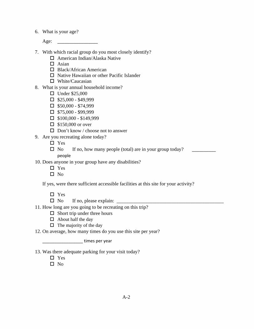
6. What is your age?
Age: _________________
7. With which racial group do you most closely identify? American Indian/Alaska Native Asian Black/African American Native Hawaiian or other Pacific Islander White/Caucasian
8. What is your annual household income? Under $25,000 $25,000 - $49,999 $50,000 - $74,999 $75,000 - $99,999 $100,000 - $149,999 $150,000 or over Don’t know / choose not to answer
9. Are you recreating alone today? Yes No If no, how many people (total) are in your group today? __________
people 10. Does anyone in your group have any disabilities?
Yes No
If yes, were there sufficient accessible facilities at this site for your activity?
Yes No If no, please explain: _____________________________________________
11. How long are you going to be recreating on this trip? Short trip under three hours About half the day The majority of the day
12. On average, how many times do you use this site per year?
_________________ times per year
13. Was there adequate parking for your visit today? Yes No

A-3
How important were the following factors in selecting this site for recreation today (please check “” the appropriate box)?
Factor Very
important Important
Somewhat important
Not important
Proximity to home
Variety of recreation opportunities
No access fee required
Lack of crowding
Natural setting
Access to river
Access to fishing areas
Access to whitewater boating areas
Onsite restroom facilities
Availability of picnic sites
Pets permitted
Clean/well maintained facilities
Feeling of safety
Handicapped access
Other reason not listed (Please write in below)
14. What other types of areas do you use most often when recreating? Developed areas, such as developed campgrounds, picnic areas, ski resorts, etc. Undeveloped areas, such as trails, dirt roads, rivers and lakes, dispersed camping,
wilderness, etc. I use both developed and undeveloped areas equally.
A-4
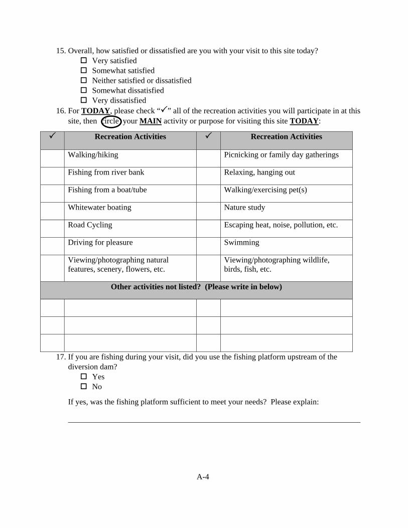
15. Overall, how satisfied or dissatisfied are you with your visit to this site today? Very satisfied Somewhat satisfied Neither satisfied or dissatisfied Somewhat dissatisfied Very dissatisfied
16. For TODAY, please check “” all of the recreation activities you will participate in at this site, then circle your MAIN activity or purpose for visiting this site TODAY:
Recreation Activities Recreation Activities
Walking/hiking Picnicking or family day gatherings
Fishing from river bank Relaxing, hanging out
Fishing from a boat/tube Walking/exercising pet(s)
Whitewater boating Nature study
Road Cycling Escaping heat, noise, pollution, etc.
Driving for pleasure Swimming
Viewing/photographing natural features, scenery, flowers, etc.
Viewing/photographing wildlife, birds, fish, etc.
Other activities not listed? (Please write in below)
17. If you are fishing during your visit, did you use the fishing platform upstream of the diversion dam? Yes No
If yes, was the fishing platform sufficient to meet your needs? Please explain:
_________________________________________________________________________
A-5
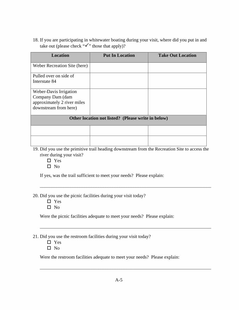
18. If you are participating in whitewater boating during your visit, where did you put in and take out (please check “” those that apply)?
Location Put In Location Take Out Location
Weber Recreation Site (here)
Pulled over on side of Interstate 84
Weber-Davis Irrigation Company Dam (dam approximately 2 river miles downstream from here)
Other location not listed? (Please write in below)
19. Did you use the primitive trail heading downstream from the Recreation Site to access the river during your visit? Yes No
If yes, was the trail sufficient to meet your needs? Please explain:
_________________________________________________________________________
20. Did you use the picnic facilities during your visit today? Yes No
Were the picnic facilities adequate to meet your needs? Please explain:
_________________________________________________________________________
21. Did you use the restroom facilities during your visit today? Yes No
Were the restroom facilities adequate to meet your needs? Please explain:
_________________________________________________________________________
A-6
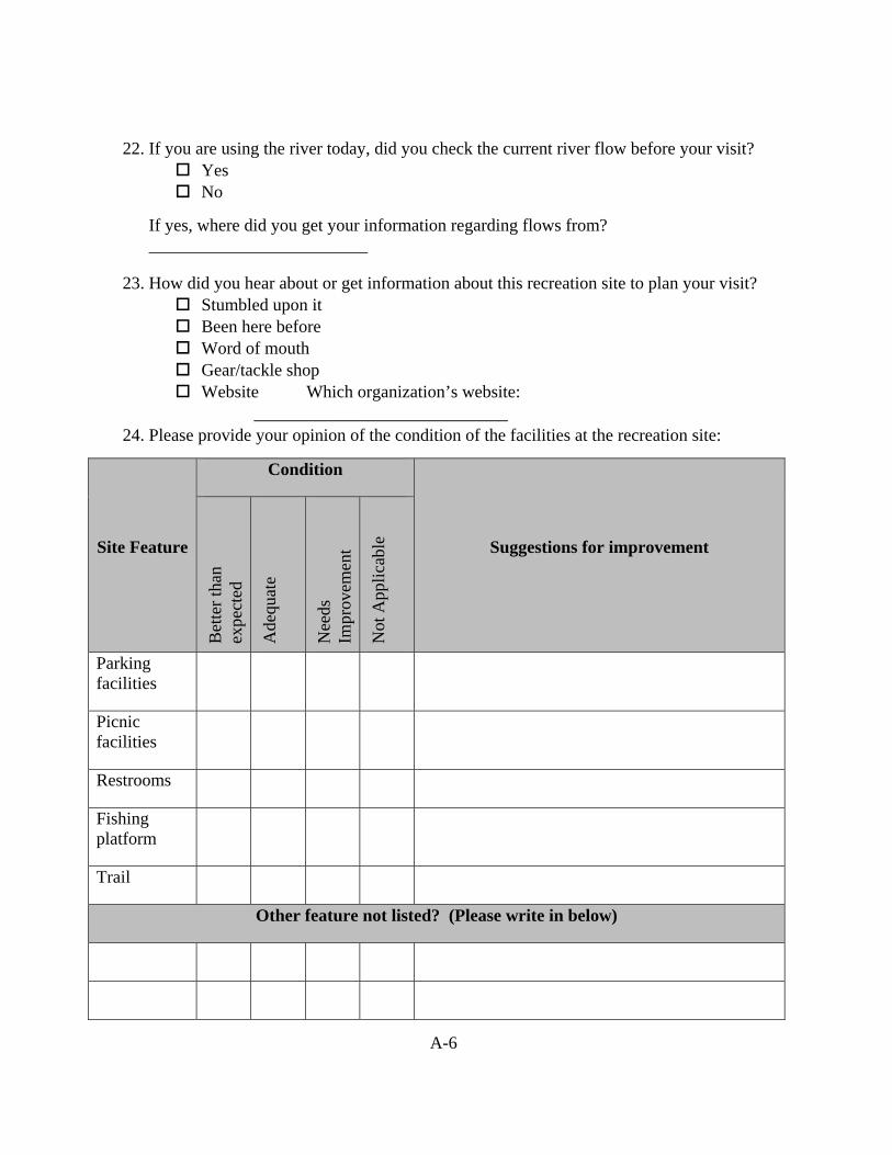
22. If you are using the river today, did you check the current river flow before your visit? Yes No
If yes, where did you get your information regarding flows from? _________________________
23. How did you hear about or get information about this recreation site to plan your visit? Stumbled upon it Been here before Word of mouth Gear/tackle shop Website Which organization’s website:
_____________________________ 24. Please provide your opinion of the condition of the facilities at the recreation site:
Site Feature
Condition
Suggestions for improvement
Bet
ter
than
ex
pect
ed
Ade
quat
e
Nee
ds
Impr
ovem
ent
Not
App
lica
ble
Parking facilities
Picnic facilities
Restrooms
Fishing platform
Trail
Other feature not listed? (Please write in below)
A-7
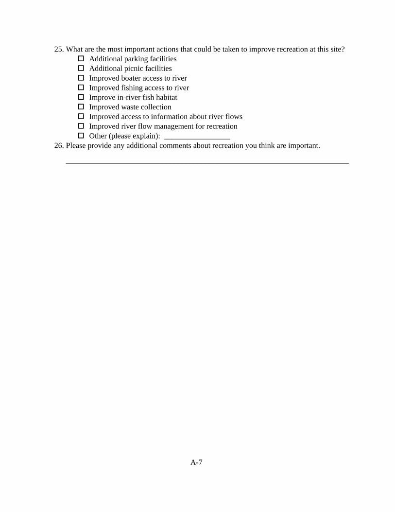
25. What are the most important actions that could be taken to improve recreation at this site? Additional parking facilities Additional picnic facilities Improved boater access to river Improved fishing access to river Improve in-river fish habitat Improved waste collection Improved access to information about river flows Improved river flow management for recreation Other (please explain): _________________
26. Please provide any additional comments about recreation you think are important.
_________________________________________________________________________
Appendix B
Draft Weber River Whitewater Boating Interview Survey (to be finalized prior to use in 2016)

B-1
Weber River Whitewater Boating Interview Survey
Weber River from Weber Hydroelectric Diversion Dam at approximately River Mile (RM)
15.1 to Takeout location RM 13.2 adjacent to the Weber Project powerhouse.
Introductory Narrative
This survey is part of a Weber Hydroelectric Project relicensing study to collect and organize information about whitewater recreation opportunities on the Weber River from near the existing Weber River recreation site, located immediately downstream of the I-84 eastbound Weber Canyon mile post 91 rest area at approximately RM 15.1, the known “put-in”, to the takeout located approximately 1.9 miles downstream, on the south side of the river across from the Weber Powerhouse, at the same location as the Weber-Davis Irrigation Company’s headgates and canal intake, at approximately RM 13.2.
PacifiCorp maintains a water right of 360 cubic feet per second (cfs) from the Weber River for the purpose of power generation via the Weber Hydroelectric Project (Project). This study focuses on the water available in the Weber River downstream of the Project diversion (adjacent to the Weber Recreation Site), in the reach bypassed by the hydroelectric project (Figure 1). Since 2005, inflows of greater than 380 cfs to the Project occur approximately 31 percent of the time, or 113 days per year. Flows of this magnitude are likely to be encountered during the months of April-August, generally coinciding with irrigation season flows that are released upstream from Echo Reservoir. In addition, inflows of greater than 700 cfs occur approximately 11 percent of the time, or 40 days per year, at which time flows would be at least 340-380 cfs in the bypassed reach even with the maximum Project diversion of 320-360 cfs; these flows occur almost exclusively in May and June [Note that the USGS Gateway gage, widely used by boaters and others to determine the flow in the Project boundary, often does not accurately reflect the flow in the bypassed reach as the Gateway gage is above the Project intake which can divert a maximum of 320-360 cfs, as noted above].
Your participation in this survey is important to the study’s success. As you complete the survey, base your responses on your direct experience with this reach of the Weber River rather than guidebooks, group opinions or historic flow preferences. Also, encourage fellow boaters to participate in this study. If you have friends that paddle this section of the Weber River, refer them to Eve Davies (801) 220-2245; [email protected]). The more responses we receive the more useful our results will be. Thank you for taking the time to complete this short survey, your input is greatly appreciated. PacifiCorp will publish the results of this study in a technical report that will be filed with the Federal Energy Regulatory Commission and on our website at: http://www.pacificorp.com/es/hydro/hl/weber.html.
B-2
1. Your First and Last Name (for data sorting purposes only):
_____________________________________________________
2. What is your gender? ___ Male ___ Female
3. What is your age?
Age: _______
4. How many times have you boated this section of the Weber River to the takeout described above? ___ 0 times
___ 1 to 5 times
___ 6 to 10 times
___ 11 to 20 times
___ More than 20 times
5. Where did you put in?
___ Weber Diversion Dam (located just downstream of the UDOT Rest Area, at Weber Rec Site)
___ Other, Please list __________________________________________
6. What range of flows (cfs) were present on this run when you boated? Flow (cfs): ____
Based on: ____ Boater Estimate
____ Gage Reading, name of gage if other than Gateway_____________
____ Other, explain _______________________
7. If you chose not to boat this run, what factors influenced your decision?
B-3
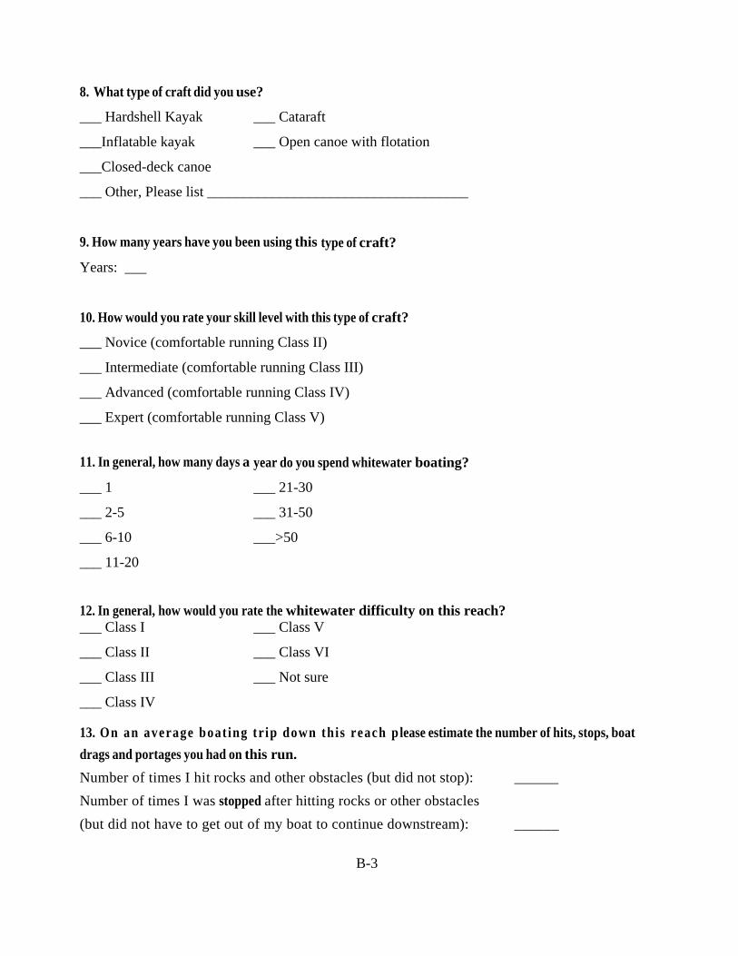
8. What type of craft did you use?
___ Hardshell Kayak ___ Cataraft
___Inflatable kayak ___ Open canoe with flotation
___Closed-deck canoe
___ Other, Please list ____________________________________
9. How many years have you been using this type of craft?
Years: ___
10. How would you rate your skill level with this type of craft?
___ Novice (comfortable running Class II)
___ Intermediate (comfortable running Class III)
___ Advanced (comfortable running Class IV)
___ Expert (comfortable running Class V)
11. In general, how many days a year do you spend whitewater boating?
___ 1 ___ 21-30
___ 2-5 ___ 31-50
___ 6-10 ___>50
___ 11-20
12. In general, how would you rate the whitewater difficulty on this reach? ___ Class I ___ Class V
___ Class II ___ Class VI
___ Class III ___ Not sure
___ Class IV
13. On an average boat ing tr ip down this reach p lease estimate the number of hits, stops, boat
drags and portages you had on this run.
Number of times I hit rocks and other obstacles (but did not stop): ______
Number of times I was stopped after hitting rocks or other obstacles
(but did not have to get out of my boat to continue downstream): ______
B-4
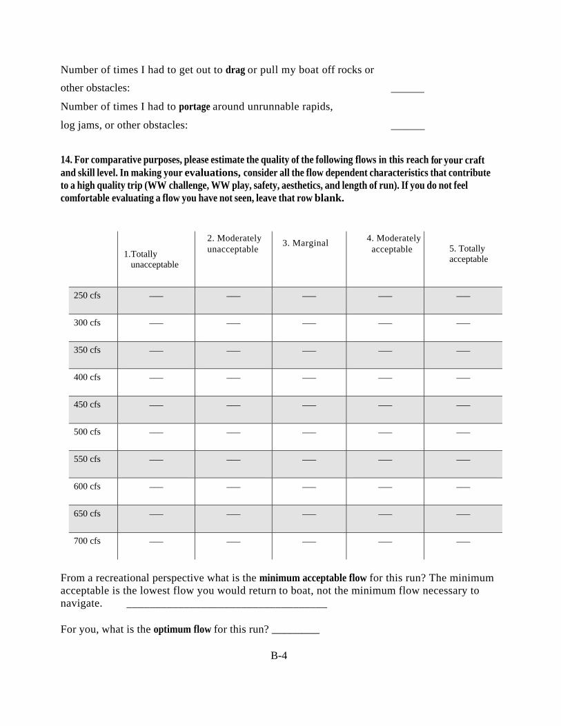
Number of times I had to get out to drag or pull my boat off rocks or
other obstacles: ______
Number of times I had to portage around unrunnable rapids,
log jams, or other obstacles: ______
14. For comparative purposes, please estimate the quality of the following flows in this reach for your craft and skill level. In making your evaluations, consider all the flow dependent characteristics that contribute to a high quality trip (WW challenge, WW play, safety, aesthetics, and length of run). If you do not feel comfortable evaluating a flow you have not seen, leave that row blank.
1. Totally unacceptable
2. Moderately unacceptable
3. Marginal
4. Moderately acceptable
5. Totally acceptable
250 cfs ___ ___ ___ ___ ___
300 cfs ___ ___ ___ ___ ___
350 cfs ___ ___ ___ ___ ___
400 cfs ___ ___ ___ ___ ___
450 cfs ___ ___ ___ ___ ___
500 cfs ___ ___ ___ ___ ___
550 cfs ___ ___ ___ ___ ___
600 cfs ___ ___ ___ ___ ___
650 cfs ___ ___ ___ ___ ___
700 cfs ___ ___ ___ ___ ___
From a recreational perspective what is the minimum acceptable flow for this run? The minimum acceptable is the lowest flow you would return to boat, not the minimum flow necessary to navigate. ___________________________________ For you, what is the optimum flow for this run? ________

B-5
15. Boating opportunities on the Project reach of the Weber River are....? (choose one per row)
1.Worse than average 2.Average
3.Better than average 4.Excellent
5.Among the very best
Compared to other rivers within a one-hour drive:
___ ___ ___ ___ ___
Compared to other rivers in northern Utah:
___ ___ ___ ___ ___
Compared to other rivers in Utah/Idaho:
___ ___ ___ ___ ___
Compared to other rivers in the USA:
___ ___ ___ ___ ___
16. Did you use the access area adjacent to the Weber Recreation Site to put in?
___ Yes
___ No
17. Did you use the area across from the Weber Powerhouse (with historic mural) and adjacent to the Weber-Davis Irrigation Company canal intake to takeout?
___ Yes
___ No
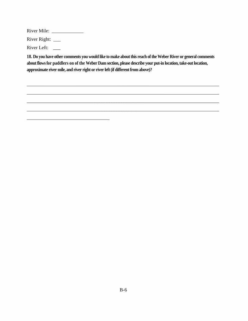
18. For paddlers utilizing a different takeout downstream of the Weber Dam section, please describe your put-in location, take-out location, approximate river mile, and river right or river left. Put-in location: _________________________________________________
Take-out location: _______________________________________________
B-6
River Mile: _____________
River Right: ___
River Left: ___
18. Do you have other comments you would like to make about this reach of the Weber River or general comments about flows for paddlers on of the Weber Dam section, please describe your put-in location, take-out location, approximate river mile, and river right or river left (if different from above)?
_______________________________________________________________________________
_______________________________________________________________________________
_______________________________________________________________________________
_______________________________________________________________________________
__________________________________