Hyperspectral Satellite Imaging
20
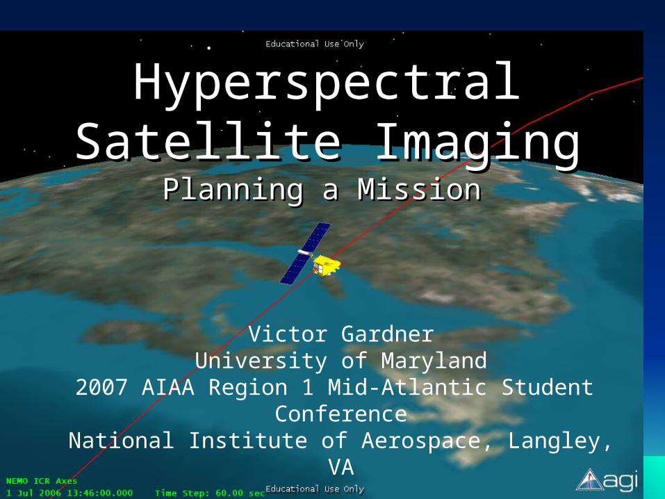
Hyperspectral Hyperspectral Satellite Imaging Satellite Imaging Planning a Mission Planning a Mission Victor Gardner University of Maryland 2007 AIAA Region 1 Mid-Atlantic Student Conference National Institute of Aerospace, Langley, VA
-
Upload
odakota-ledesma -
Category
Documents
-
view
114 -
download
0
description
Hyperspectral Satellite Imaging. Planning a Mission. Victor Gardner University of Maryland 2007 AIAA Region 1 Mid-Atlantic Student Conference National Institute of Aerospace, Langley, VA. Outline. Objective Introduction to Hyperspectral Sensing, Orbital Dynamics, and Sensor Terminology - PowerPoint PPT Presentation
Transcript of Hyperspectral Satellite Imaging
Hyperspectral Satellite Hyperspectral Satellite ImagingImaging
Planning a MissionPlanning a Mission
Victor GardnerUniversity of Maryland
2007 AIAA Region 1 Mid-Atlantic Student ConferenceNational Institute of Aerospace, Langley, VA
22
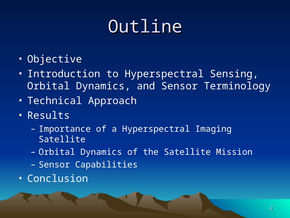
OutlineOutline
• Objective• Introduction to Hyperspectral Sensing, Orbital
Dynamics, and Sensor Terminology• Technical Approach• Results
– Importance of a Hyperspectral Imaging Satellite– Orbital Dynamics of the Satellite Mission– Sensor Capabilities
• Conclusion
33
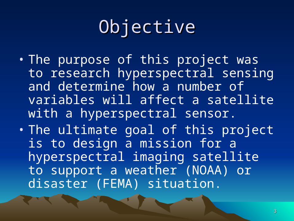
ObjectiveObjective
• The purpose of this project was to research hyperspectral sensing and determine how a number of variables will affect a satellite with a hyperspectral sensor.
• The ultimate goal of this project is to design a mission for a hyperspectral imaging satellite to support a weather (NOAA) or disaster (FEMA) situation.
44
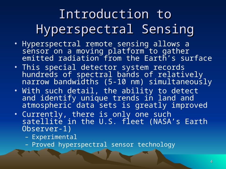
Introduction to Hyperspectral SensingIntroduction to Hyperspectral Sensing
• Hyperspectral remote sensing allows a sensor on a moving platform to gather emitted radiation from the Earth’s surface
• This special detector system records hundreds of spectral bands of relatively narrow bandwidths (5-10 nm) simultaneously
• With such detail, the ability to detect and identify unique trends in land and atmospheric data sets is greatly improved
• Currently, there is only one such satellite in the U.S. fleet (NASA’s Earth Observer-1)– Experimental– Proved hyperspectral sensor technology
55
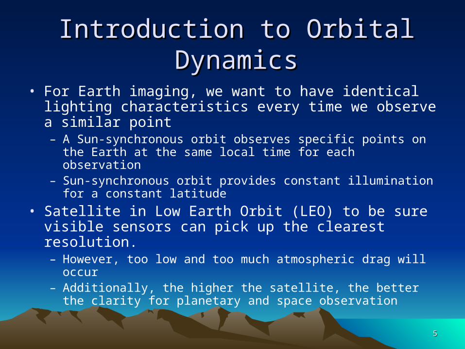
• For Earth imaging, we want to have identical lighting characteristics every time we observe a similar point– A Sun-synchronous orbit observes specific points on the Earth at
the same local time for each observation– Sun-synchronous orbit provides constant illumination for a
constant latitude
• Satellite in Low Earth Orbit (LEO) to be sure visible sensors can pick up the clearest resolution. – However, too low and too much atmospheric drag will occur– Additionally, the higher the satellite, the better the clarity for
planetary and space observation
Introduction to Orbital DynamicsIntroduction to Orbital Dynamics
66
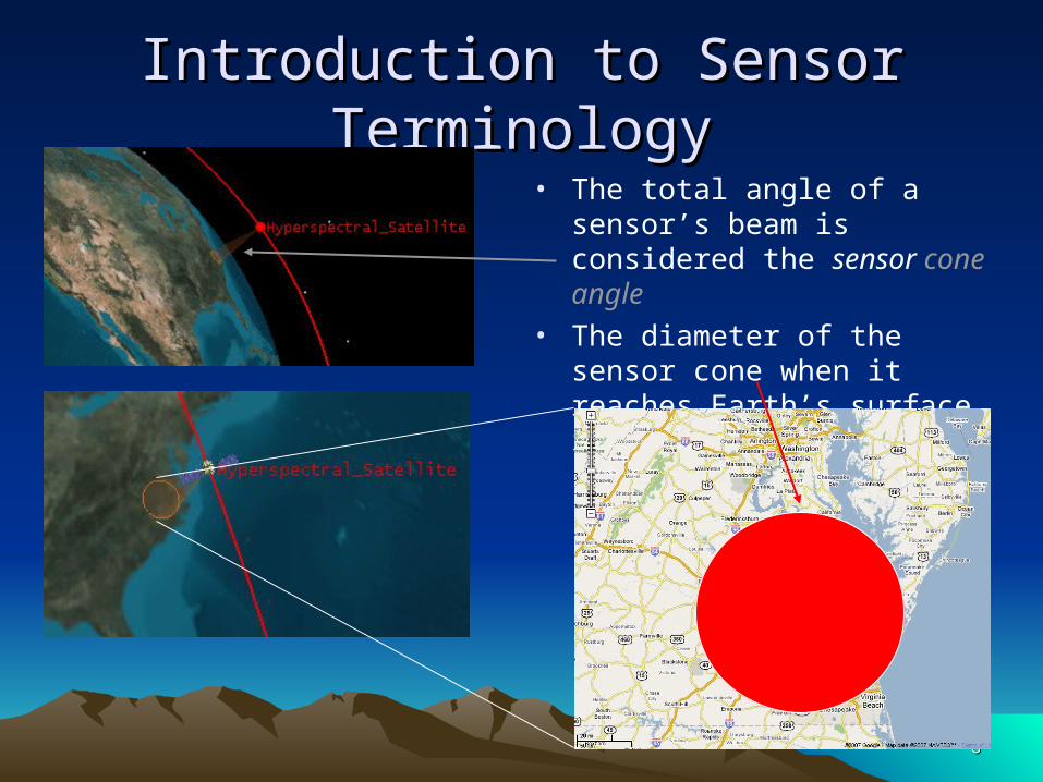
Introduction to Sensor TerminologyIntroduction to Sensor Terminology
• The total angle of a sensor’s beam is considered the sensor cone angle
• The diameter of the sensor cone when it reaches Earth’s surface is called the swath width
77
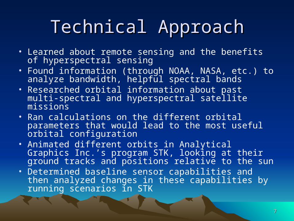
Technical ApproachTechnical Approach• Learned about remote sensing and the benefits of
hyperspectral sensing• Found information (through NOAA, NASA, etc.) to
analyze bandwidth, helpful spectral bands• Researched orbital information about past multi-spectral
and hyperspectral satellite missions• Ran calculations on the different orbital parameters that
would lead to the most useful orbital configuration• Animated different orbits in Analytical Graphics Inc.’s
program STK, looking at their ground tracks and positions relative to the sun
• Determined baseline sensor capabilities and then analyzed changes in these capabilities by running scenarios in STK
Hyperspectral Satellite Hyperspectral Satellite ImagingImaging
ResultsResults

99
Importance of a Hyperspectral Importance of a Hyperspectral Imaging SatelliteImaging Satellite
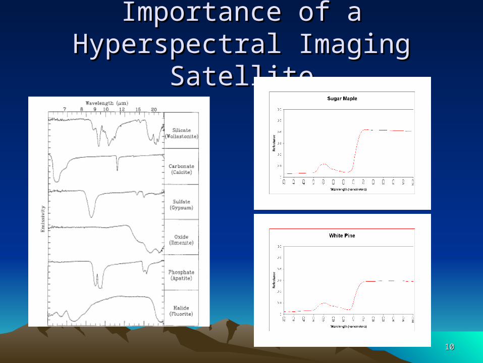
• Rather than gaining radiance data in only a few bands, this satellite would be able to give spectral emissivity data in hundreds of bands.– Allows for far more specific analysis of land cover– The emissivity levels of each band can be combined to form a
spectral reflectance curve
• Additionally, this sensor would cover all of the useful spectral bands– Visible – imagery, vegetation, chlorophyll, sediments– Near Infrared - atmospheric properties, cloud cover, vegetation
land cover transformation– Thermal Infrared – Sea surface temperature, forest fires,
volcanoes, cloud height, total ozone
1010
Importance of a Hyperspectral Importance of a Hyperspectral Imaging SatelliteImaging Satellite
1111
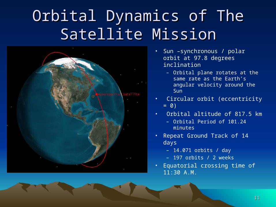
Orbital Dynamics of The Satellite Orbital Dynamics of The Satellite MissionMission
• Sun –synchronous / polar orbit at 97.8 degrees inclination
– Orbital plane rotates at the same rate as the Earth’s angular velocity around the Sun
• Circular orbit (eccentricity = 0)
• Orbital altitude of 817.5 km– Orbital Period of 101.24
minutes
• Repeat Ground Track of 14 days
– 14.071 orbits / day– 197 orbits / 2 weeks
• Equatorial crossing time of 11:30 A.M.

1212
Orbital Dynamics of The Satellite Orbital Dynamics of The Satellite MissionMission
Ground Track after 1 Day
1313
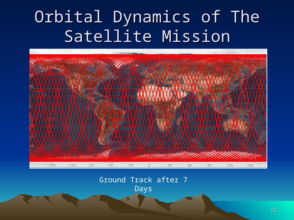
Orbital Dynamics of The Satellite Orbital Dynamics of The Satellite MissionMission
Ground Track after 7 Days

1414
Sensor CapabilitiesSensor Capabilities
Sensor Width versus Global Coverage
80
85
90
95
100
4 6 8 10 12 14 16 18
Cone Angle (degrees)
Accumulated Coverage (%)
• Sensor width of 14.3 degrees should provide total global coverage
– Swath width of 203.4 km
• This should really be increased to 15 degrees to give some overlap between images and account for distortion
• The chart to the left shows how the global coverage will vary as the width of the sensor cone changes
1515
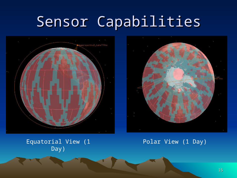
Sensor CapabilitiesSensor Capabilities
Equatorial View (1 Day) Polar View (1 Day)

1616
Sensor CapabilitiesSensor Capabilities
Equatorial View (3.5 Days) Equatorial View (7 Days)
1717
Future QuestionsFuture Questions• Would a fleet of satellites provide a better solution for
global coverage?• How does the sensor type (simple conic, complex conic,
SAR) affect our total coverage?• What kind of sensor resolution are we getting with large
sensor angles (15 degrees) in comparison to the smaller angles (5 degrees)?
• Would a fleet of satellites give us much better radiometric resolution?
1818
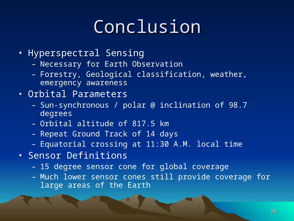
ConclusionConclusion• Hyperspectral Sensing
– Necessary for Earth Observation– Forestry, Geological classification, weather, emergency
awareness
• Orbital Parameters– Sun-synchronous / polar @ inclination of 98.7 degrees– Orbital altitude of 817.5 km– Repeat Ground Track of 14 days– Equatorial crossing at 11:30 A.M. local time
• Sensor Definitions– 15 degree sensor cone for global coverage– Much lower sensor cones still provide coverage for large areas
of the Earth
1919
AcknowledgementsAcknowledgements
University of Maryland– Dr. Liam Healy
Analytical Graphics, Inc.– Kathryn Lane
Hyperspectral Satellite Hyperspectral Satellite ImagingImagingQuestions ???Questions ???