


Languages
Pages
Legal


Session 2LAND SURVEYING EQUIPMENTS
Course : S0663 – Land SurveyingYear : 2007

Bina Nusantara
Land Surveying Equipments
• Simple Measurement Equipments• Levelling Equipments• Angle Measurement Equipments• Supporting Equipments• Modern Surveying Equipments

Bina Nusantara
Simple Measurement Equipments
• Measuring Tape• Compass• Alidade• Hand Level

Bina Nusantara
Measuring Tape

Bina Nusantara
Measuring Wheel

Bina Nusantara
Surveyor’s Compass
Bina Nusantara
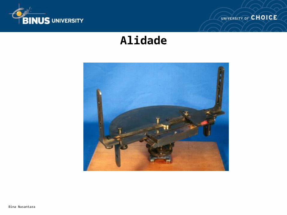
Alidade
Bina Nusantara
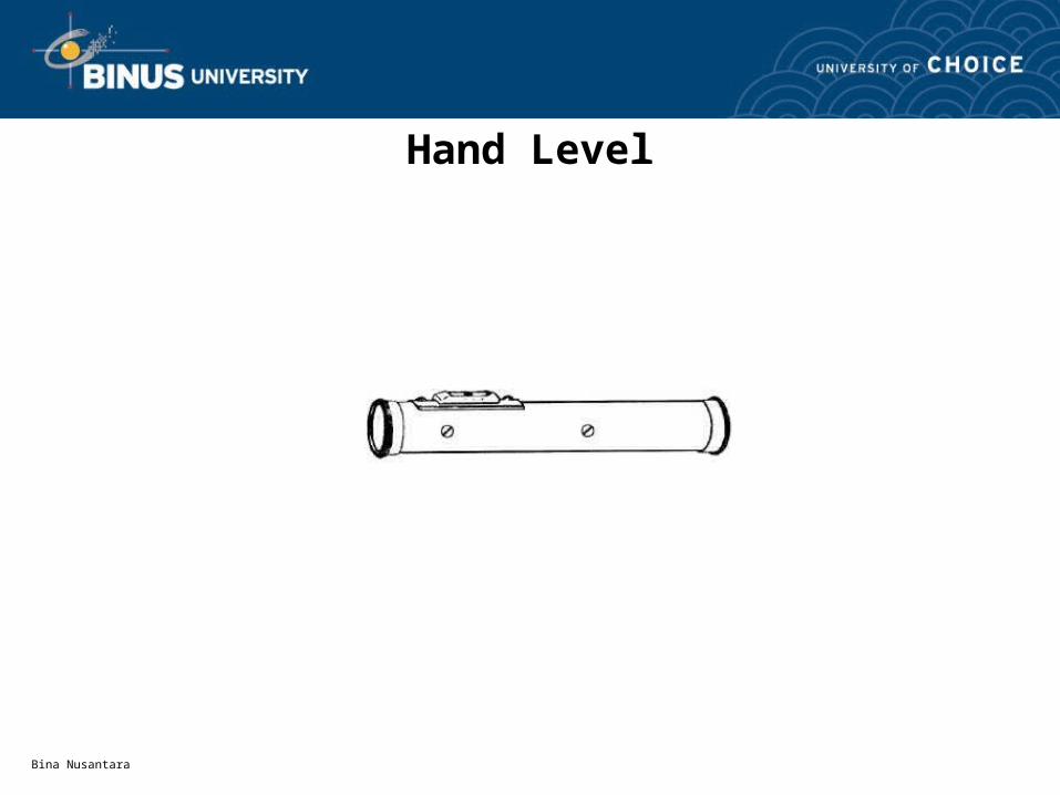
Hand Level

Bina Nusantara
Levelling Equipments
Waterpass or Level

Bina Nusantara
Levelling Equipments
Waterpass or Level

Bina Nusantara
Waterpass (Level)

Bina Nusantara
Dumpy Level

Bina Nusantara
Waterpass (Level)

Bina Nusantara
Automatic Level

Bina Nusantara
Angle Measurement
BMSta A
Horizontal Angle Vertical Angle

Bina Nusantara
Angle Measurement Equipments
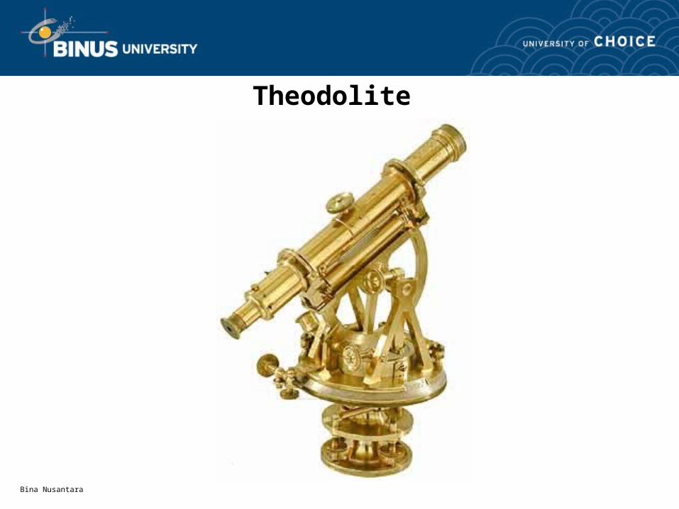
Theodolite
Bina Nusantara
Theodolite

Bina Nusantara
Theodolite or Transite
Bina Nusantara
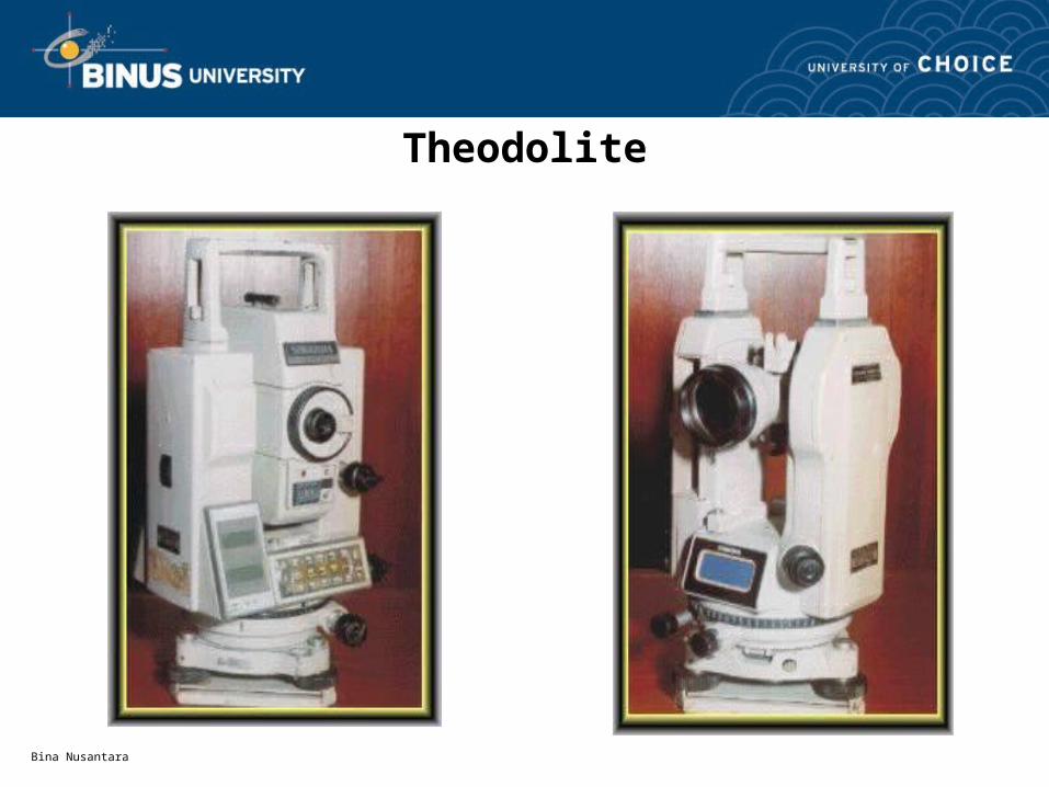
Theodolite

Bina Nusantara
Theodolite

Bina Nusantara
Supporting Equipments
• Tripod• Leveling Rod
Bina Nusantara
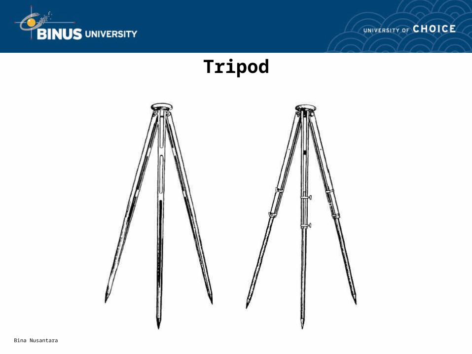
Tripod
Bina Nusantara
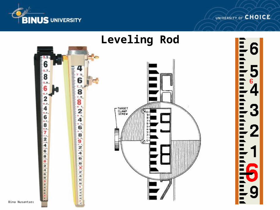
Leveling Rod

Bina Nusantara
Modern Surveying Equipments
• EDM: Electronic Distance Measuring device• Compass-Altimeter• Laser Rotary Level• Tacheometer• Global Positioning System (GPS)
Bina Nusantara
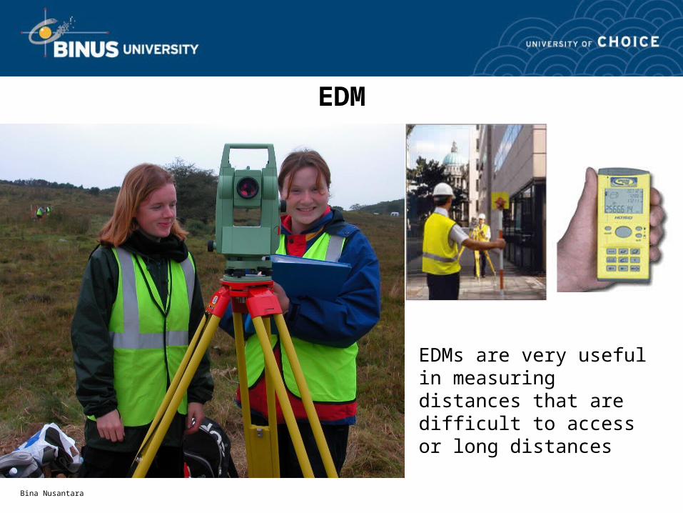
EDM
EDMs are very useful in measuring distances that are difficult to access or long distances

Bina Nusantara
EDM

Bina Nusantara
Compass-Altimeter

Bina Nusantara
Laser Rotary Level

Bina Nusantara
Tacheometer

Bina Nusantara
Global Positioning System (GPS)
GPS stands for Global Positioning System. Users of a global positioning system can calculate their location anywhere on the earth. There are currently two "public" GPS systems. The NAVSTAR system is owned by the United States and is managed by the Department of Defense. The GLONASS system is owned by the Russian Federation. While both NAVSTAR and GLONASS systems are global positioning systems, the NAVSTAR system is often referred to (in the U.S., anyway) as the GPS because it was generally available first. Nevertheless, both systems are GPS systems and the reader should keep this in mind.

Bina Nusantara
Global Positioning System (GPS)
A global positioning system uses the characteristics of radio transmissions for location determination. Unlike previous navigation systems using ground based transmitters, satellite based transmitters are used to cover earth with higher accuracy that that available from the land based systems. The satellites transmit timing information, satellite location information and satellite health information. The Space Segment is technical term for the satellites that belong to the system. The user requires a special radio receiver - a GPS receiver - to receive the transmissions from the satellite. The GPS receiver contains a specialized computer that calculates the location based on the satellite signals. The user does not have to transmit anything to the satellite and the satellite does not know the user is there. There is no limit to the number of users that can be using the system at any one time. The users with their receivers are known as the User Segment.The satellites are controlled and monitored from ground stations (the Control Segment). The control stations monitor the satellites for health and accuracy. Maintenance commands, orbital parameters and timing corrections are uploaded from the ground on a periodic basis.

Bina Nusantara

Bina Nusantara
Global Positioning Systems (GPS), technology in static mode
was used to calculate new coordinates using a set of MDOT
known points
Establishing a geodetic network
using GPS techniques
Top Related