URBAN LAND USE URBAN LAND USE. Where are the cities??
66
URBAN URBAN LAND USE LAND USE
-
Upload
myra-shelton -
Category
Documents
-
view
237 -
download
2
Transcript of URBAN LAND USE URBAN LAND USE. Where are the cities??

Where are the cities??

Urban Land UseUrban Land UseLand use patterns in cities Land use patterns in cities do not develop by chance. do not develop by chance. They are affected by They are affected by decisions people make decisions people make based upon their work, their based upon their work, their type of home and what they type of home and what they have to spend their money have to spend their money on.on.

Urban Sprawl - Florida

Tokyo Japan - SprawlTokyo Japan - Sprawl
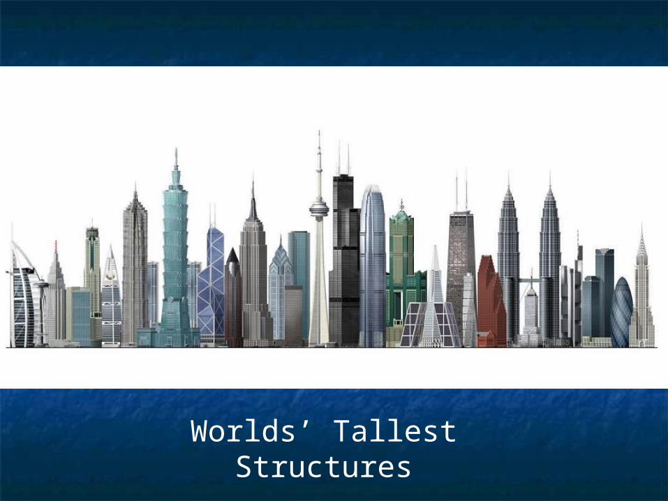
Worlds’ Tallest Structures
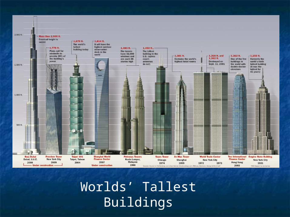
Worlds’ Tallest Buildings
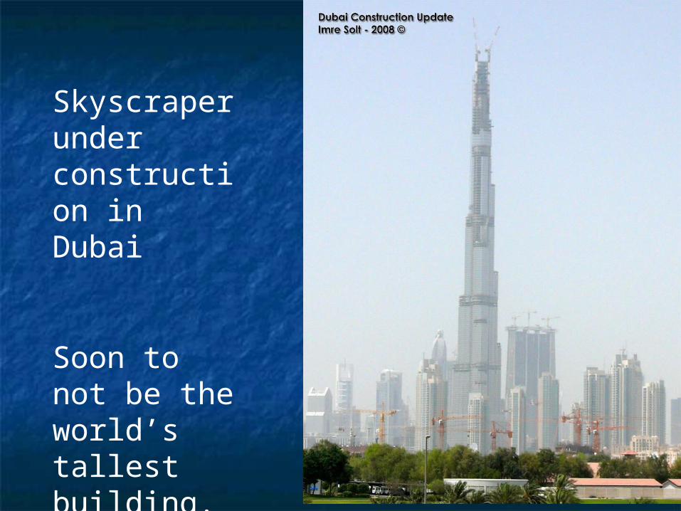
Skyscraper under construction in Dubai
Soon to not be the world’s tallest building.

Burj Khalifa, Dubai, U.A.E.
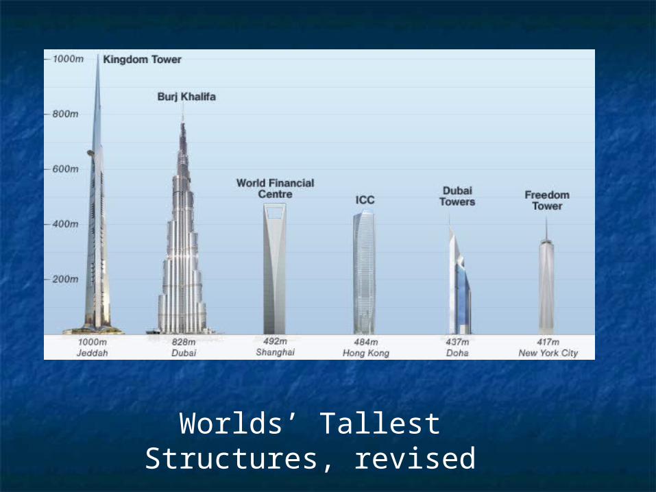
Worlds’ Tallest Structures, revised

Worlds’ Tallest Structures, revised (again)

The Kingdom Tower, Jedda, Saudi Arabia
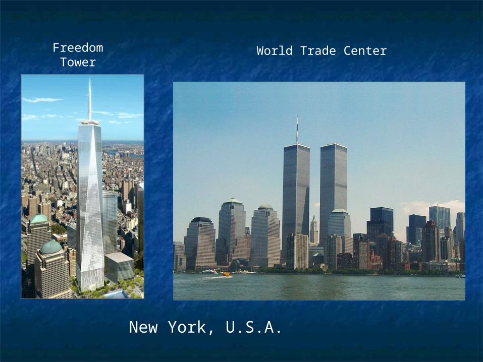
Freedom Tower
New York, U.S.A.
World Trade Center

Kibera Slum, Nairobi from the air.

Toronto Canada

Do you recognize this place?

Types of Land UseTypes of Land Use
All land use in an urban place All land use in an urban place can be classified into one of can be classified into one of five major groups:five major groups:
industrial, residential, industrial, residential, commercial, transportation, commercial, transportation, and otherand other

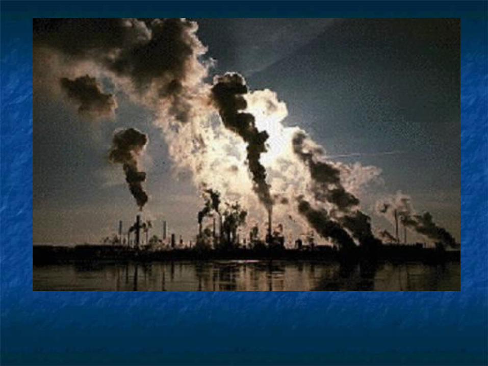
IndustrialIndustrial important land use for citiesimportant land use for cities jobsjobs taxestaxes about 11% of all urban landabout 11% of all urban land grouped according to type of grouped according to type of
industry and nature of industry and nature of transportation usedtransportation used


Modern Industrial Park, China
Notice the lack of smokestacks and visible pollution
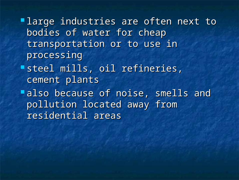
large industries are often next to large industries are often next to bodies of water for cheap bodies of water for cheap transportation or to use in processingtransportation or to use in processing
steel mills, oil refineries, cement steel mills, oil refineries, cement plantsplants
also because of noise, smells and also because of noise, smells and pollution located away from pollution located away from residential areasresidential areas

•older factories were also built near railways so raw materials and finished goods could be transported
•also they were close to residential areas so workers could walk
•most are now obsolete and have been torn down

modern industrial areas are modern industrial areas are located away from residential located away from residential areas in “industrial parks”, areas in “industrial parks”, with special services providedwith special services provided
located close to highways for located close to highways for truck transportationtruck transportation

ResidentialResidential all places where people live all places where people live
from single family homes to from single family homes to huge apartment towershuge apartment towers
40% of developed land in 40% of developed land in many citiesmany cities
““residential density” is an residential density” is an important characteristicimportant characteristic

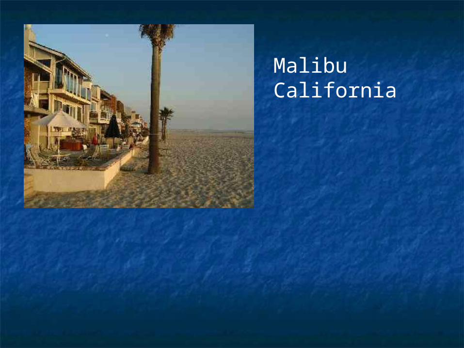
Malibu California
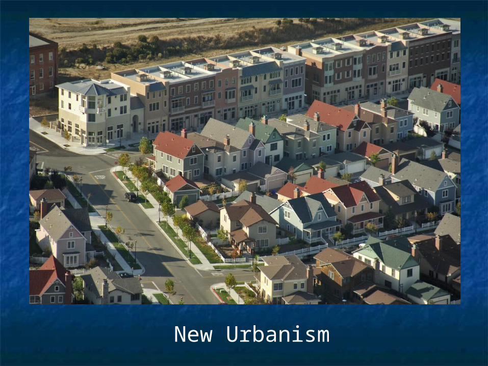
New Urbanism

Slums known as ‘Favelas’ in
South America
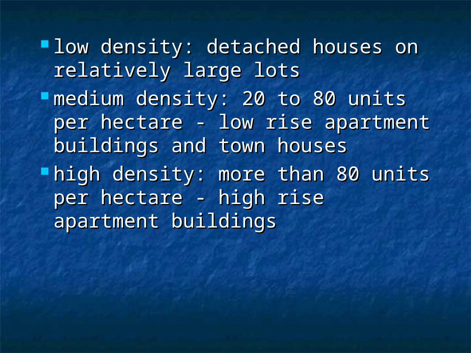
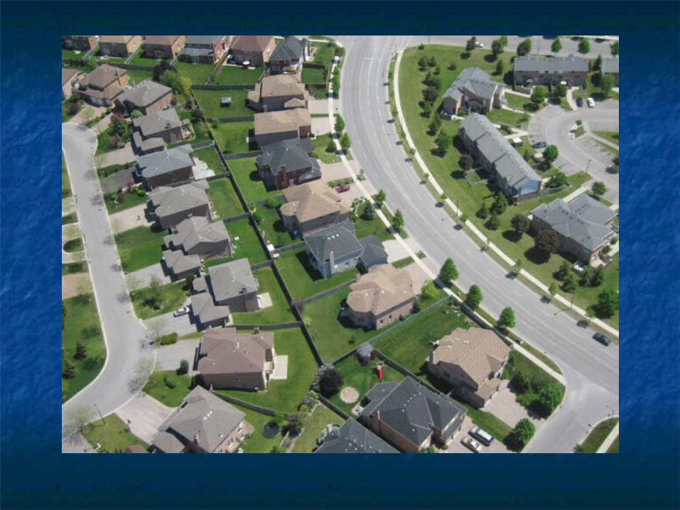
low density: detached houses on low density: detached houses on relatively large lotsrelatively large lots
medium density: 20 to 80 units per medium density: 20 to 80 units per hectare - low rise apartment hectare - low rise apartment buildings and town housesbuildings and town houses
high density: more than 80 units high density: more than 80 units per hectare - high rise apartment per hectare - high rise apartment buildingsbuildings

Medium Density: Townhouse / Condominiums
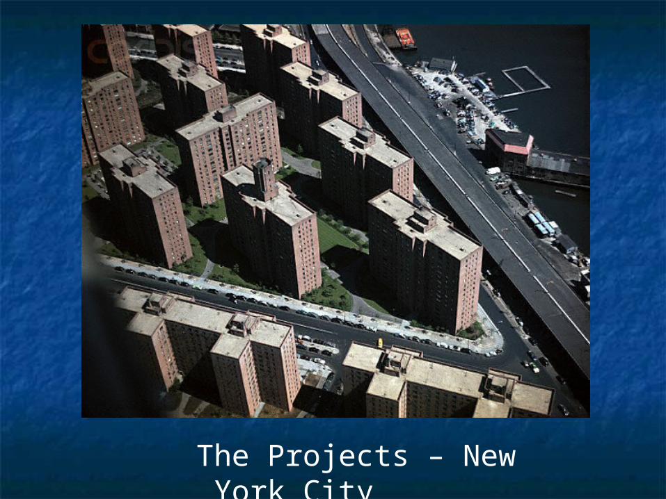
The Projects – New York City

two factors affect density of two factors affect density of residential housing:residential housing:
the first factor is land valuethe first factor is land value cheaper land on the outskirts of the cheaper land on the outskirts of the
city results in low density housing - city results in low density housing - more single family dwellingsmore single family dwellings
the suburbsthe suburbs
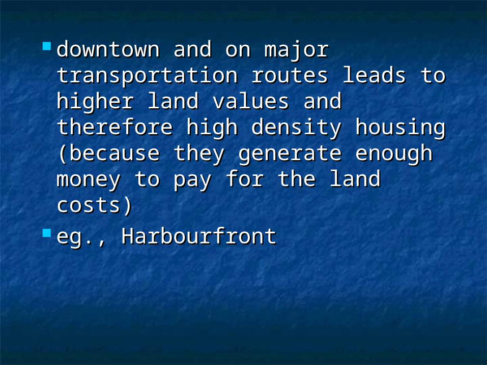
downtown and on major downtown and on major transportation routes leads to transportation routes leads to higher land values and higher land values and therefore high density housing therefore high density housing (because they generate enough (because they generate enough money to pay for the land costs)money to pay for the land costs)
eg., Harbourfronteg., Harbourfront
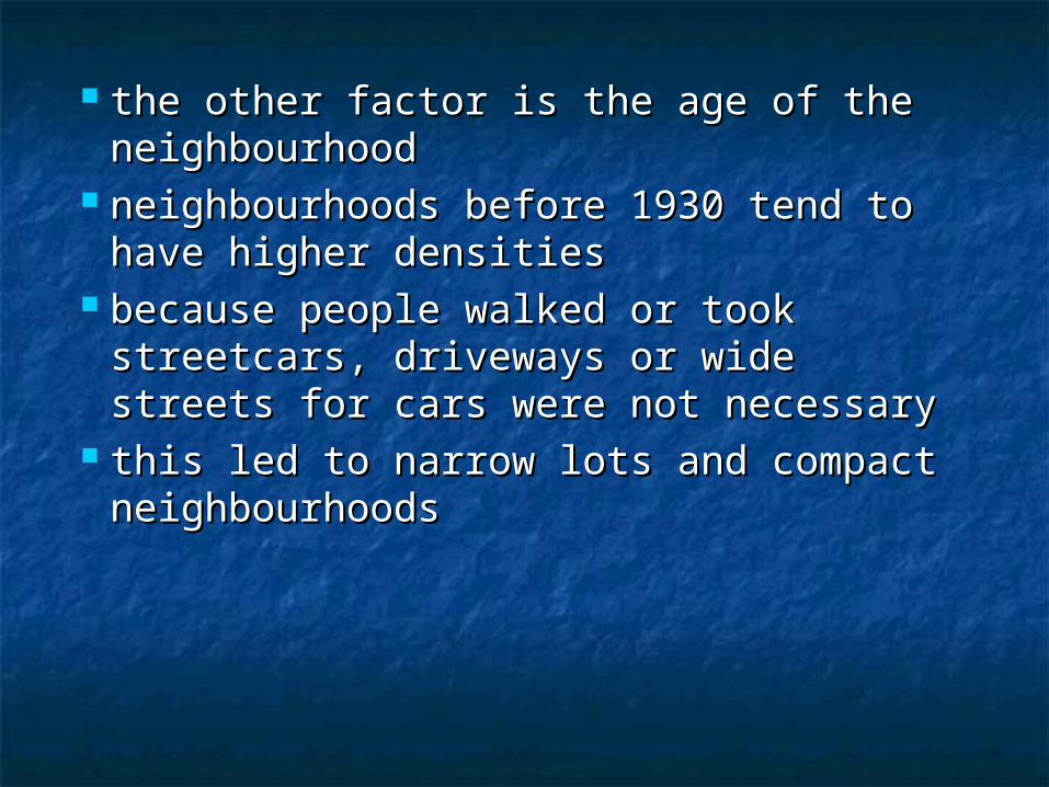
the other factor is the age of the the other factor is the age of the neighbourhoodneighbourhood
neighbourhoods before 1930 tend to neighbourhoods before 1930 tend to have higher densitieshave higher densities
because people walked or took because people walked or took streetcars, driveways or wide streets for streetcars, driveways or wide streets for cars were not necessarycars were not necessary
this led to narrow lots and compact this led to narrow lots and compact neighbourhoodsneighbourhoods

Working Class Neighbourhood: Queens, New York City

CommercialCommercial
only 5% of land for retailing, only 5% of land for retailing, wholesaling, offices, and wholesaling, offices, and servicesservices
really important to the really important to the economyeconomy
two types: ribbons and centrestwo types: ribbons and centres

ribbons are along ribbons are along transportation routestransportation routes
centres have stores in a centres have stores in a cluster, around a parking lot cluster, around a parking lot often, and also near a major often, and also near a major transportation routetransportation route
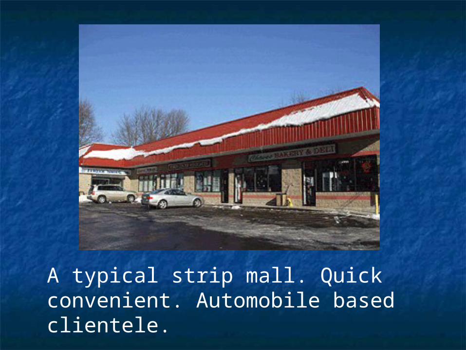
A typical strip mall. Quick convenient. Automobile based clientele.

commercial centres can be commercial centres can be grouped in five different grouped in five different categories: convenience, categories: convenience, neighbourhood, community, neighbourhood, community, regional and CBD, or central regional and CBD, or central business districtbusiness district
at each level more choice of at each level more choice of services and products are offeredservices and products are offered
see description on pages 251-252see description on pages 251-252
Decline of the CBDDecline of the CBD
most important factor for most important factor for many towns and citiesmany towns and cities
shopping centres and offices shopping centres and offices in suburbs draw shoppers and in suburbs draw shoppers and tenants awaytenants away

Why?Why? downtown buildings old and out of downtown buildings old and out of
datedate the CBD hard to reach by car: roads the CBD hard to reach by car: roads
clogged; parking expensive and clogged; parking expensive and hard to findhard to find
rents cheaper in suburbs and rents cheaper in suburbs and therefore products/services tootherefore products/services too


It is the heart of a city.It is the heart of a city. CBD is working hard to improve CBD is working hard to improve
itself, for example CN tower, itself, for example CN tower, Skydome, Air Canada Centre, Skydome, Air Canada Centre, Yonge and Dundas - Bring the Yonge and Dundas - Bring the people back downtown. people back downtown.
Page 254 has a good Page 254 has a good description.description.
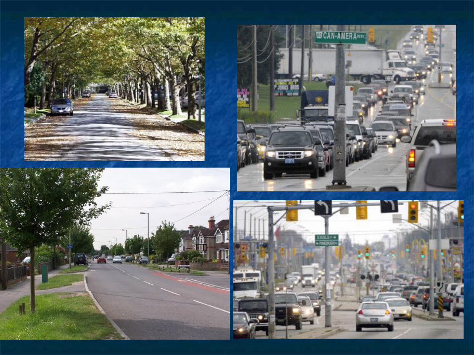
TransportationTransportation
nearly 25% of urban land for nearly 25% of urban land for roads, highways railroads and roads, highways railroads and electricity transmission electricity transmission corridorscorridors
roadways grouped into three roadways grouped into three categories based upon sizecategories based upon size


expressways: large volumes of expressways: large volumes of traffic long distances quickly; traffic long distances quickly; limited access (interchanges)limited access (interchanges)
arterial roads: moderate volumes, arterial roads: moderate volumes, shorter distances; link local roads shorter distances; link local roads to expresswaysto expressways
commercial ribbons develop along commercial ribbons develop along arterial roadsarterial roads
local roads are smaller and carry local roads are smaller and carry smaller volumes of people smaller volumes of people between peoples’ homes and between peoples’ homes and arterial roadsarterial roads
local roads tend to be either on a local roads tend to be either on a grid or a garden pattern (see Fig. grid or a garden pattern (see Fig. 21-5, page 251)21-5, page 251)
other transportation land uses: other transportation land uses: parking lots and airportsparking lots and airports
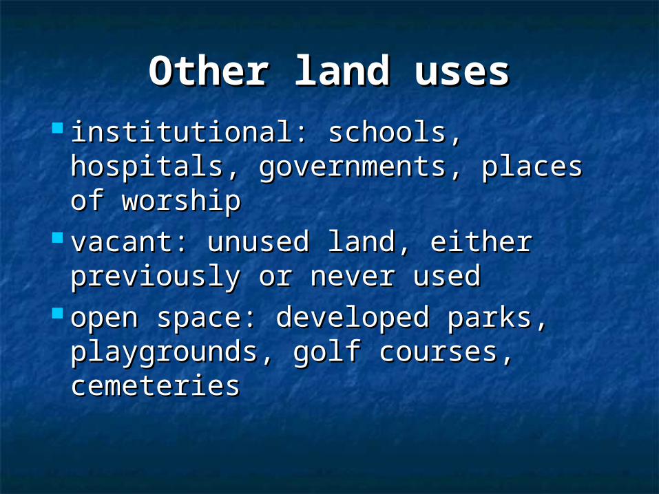
Other land usesOther land uses institutional: schools, hospitals, institutional: schools, hospitals,
governments, places of worshipgovernments, places of worship vacant: unused land, either vacant: unused land, either
previously or never usedpreviously or never used open space: developed parks, open space: developed parks,
playgrounds, golf courses, playgrounds, golf courses, cemeteriescemeteries


Factors Affecting Factors Affecting Land Use Land Use PatternsPatterns
Four factors affect urban Four factors affect urban land use patterns: land land use patterns: land value, zoning, technology, value, zoning, technology, and climate.and climate.

Land ValueLand Value
generally land values are generally land values are highest in most accessible highest in most accessible areasareas
eg., CBD, along major eg., CBD, along major transportation routes, transportation routes, especially intersectionsespecially intersections

land uses that produce the highest land uses that produce the highest income per unit of land occupy the income per unit of land occupy the most expensive landmost expensive land
ie., tall office buildings and high ie., tall office buildings and high density housingdensity housing
Yonge at major crossroads like St. Yonge at major crossroads like St. Clair, Eglinton, Sheppard - all with Clair, Eglinton, Sheppard - all with tall buildingstall buildings

ZoningZoning
governments (mainly governments (mainly municipal) pass laws which municipal) pass laws which restricts the land use in certain restricts the land use in certain areas in order to avoid conflictsareas in order to avoid conflicts
See Fig. 21-12 on Page 258 for See Fig. 21-12 on Page 258 for a zoning map.a zoning map.
TechnologyTechnology
land use reflects the land use reflects the technology that existed when technology that existed when the land was developedthe land was developed
eg., residential patterns in eg., residential patterns in cities before the Depression cities before the Depression and after WWII and after WWII

since WWII near universal since WWII near universal ownership and use of car has ownership and use of car has changed the face of urban changed the face of urban areas built since then: wider areas built since then: wider arterial roads; shopping and arterial roads; shopping and work areas with own parking; work areas with own parking; truck transport and the rise of truck transport and the rise of the expresswaythe expressway


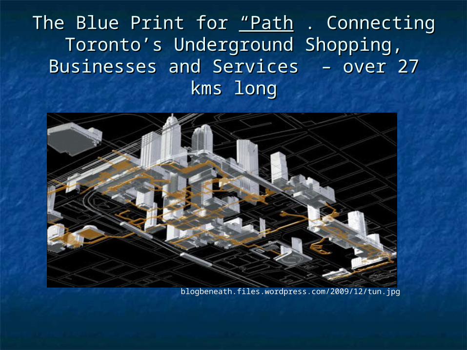
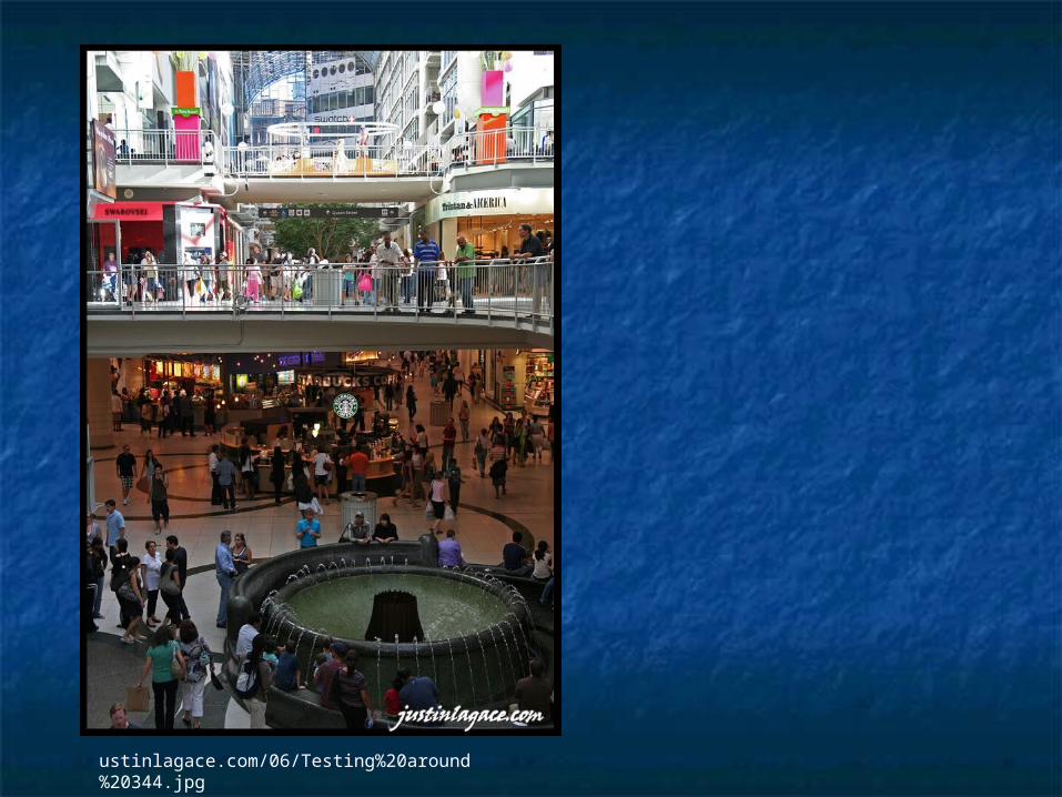
ClimateClimate Today urban planners are Today urban planners are taking into account cold taking into account cold temperatures, wind, ice, snow, temperatures, wind, ice, snow, and long winters.and long winters. Inside and Outside Inside and Outside environmentenvironment Winter-city conceptWinter-city concept Indoor shopping mallsIndoor shopping malls Bus shelters, sidewalk Bus shelters, sidewalk barriers etc.barriers etc.
blogbeneath.files.wordpress.com/2009/12/tun.jpg
The Blue Print for The Blue Print for “Path“Path”. Connecting ”. Connecting Toronto’s Underground Shopping, Toronto’s Underground Shopping,
Businesses and Services – over 27 kms longBusinesses and Services – over 27 kms long
ustinlagace.com/06/Testing%20around%20344.jpg