The Geolocation Landscape
156
Geo-Location Technology Landscape Shoaib Burq and Kashif Rasul http://spacialdb.com Hi all, thanks for joining us. We are from a startup called SpacialDB. you can read more about it on the Startup V-Check competition website. We were short-listed in the top 10 Startups.
-
Upload
shoaib-burq -
Category
Technology
-
view
1.869 -
download
2
Transcript of The Geolocation Landscape

Geo-Location Technology Landscape
Shoaib Burq and Kashif Rasul
http://spacialdb.com
Hi all, thanks for joining us. We are from a startup called SpacialDB. you can read more about it on the Startup V-Check competition website. We were short-listed in the top 10 Startups.

About us
Kashif Rasul (CTO http://spacialdb.com)
Doctorate in Maths. from FU Berlin
Background HPC and Scientific Viz.
http://hpc.nomad-labs.com
twitter: krasul
About us
Shoaib Burq (CEO http://spacialdb.com)
Geomatics and Computer sciences
Australian Government
http://geospatial.nomad-labs.com
twitter: sabman
Shoaib Burq
Kashif Rasul
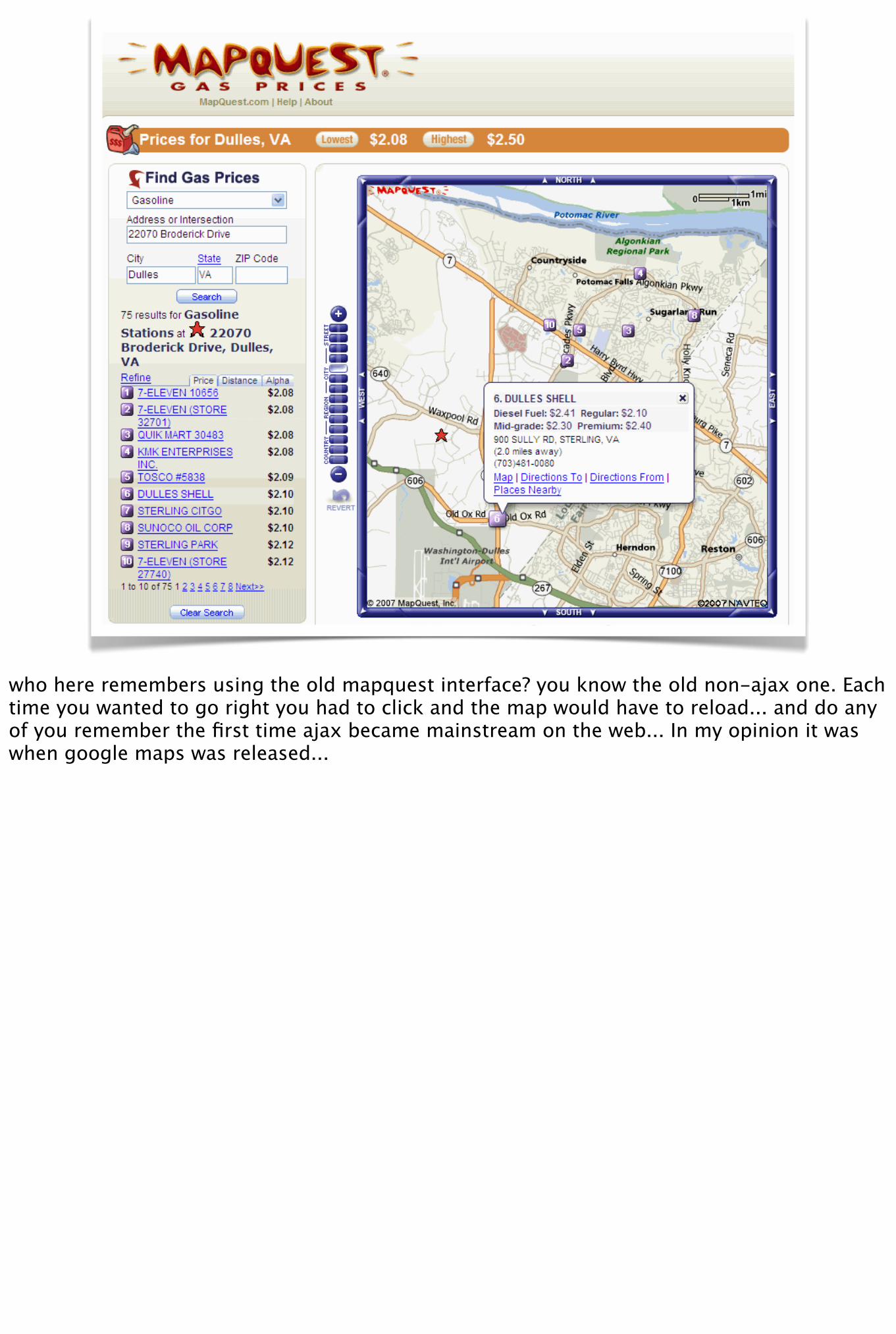
who here remembers using the old mapquest interface? you know the old non-ajax one. Each time you wanted to go right you had to click and the map would have to reload... and do any of you remember the first time ajax became mainstream on the web... In my opinion it was when google maps was released...
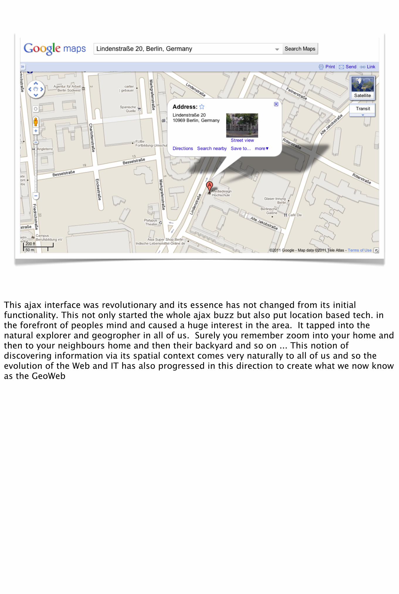
This ajax interface was revolutionary and its essence has not changed from its initial functionality. This not only started the whole ajax buzz but also put location based tech. in the forefront of peoples mind and caused a huge interest in the area. It tapped into the natural explorer and geogropher in all of us. Surely you remember zoom into your home and then to your neighbours home and then their backyard and so on ... This notion of discovering information via its spatial context comes very naturally to all of us and so the evolution of the Web and IT has also progressed in this direction to create what we now know as the GeoWeb
GeoWeb
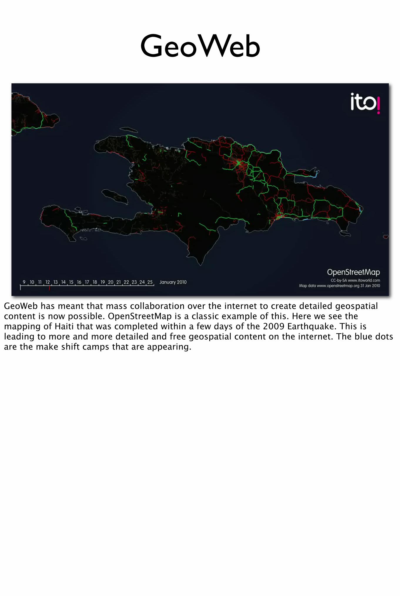
GeoWeb has meant that mass collaboration over the internet to create detailed geospatial content is now possible. OpenStreetMap is a classic example of this. Here we see the mapping of Haiti that was completed within a few days of the 2009 Earthquake. This is leading to more and more detailed and free geospatial content on the internet. The blue dots are the make shift camps that are appearing.
Tech. stack that enables this
• Hardware
• Software
• Web2.0
What is enabling this technology is a mixture of innovation in hardware, software and the idea of data creation and sharing over the Web (Web 2.0)
And there are quite a few market sectors that use LB technology. The most popular one would be the mobile LBS sector and I will talk about that.
Having said that I should emphesise that LBS is only one category of applications that require position information. Position information is critical in many applications some have existed for decades and opportunities are opening up to innovate in some traditional sectors besides LBS too - such as transportation and logistics. My colleague will speak a bit about them in the second half of this presentation.
This talk
In the rest of this presentation I will * Define the software stack for developers that wish to take advantage of the growing LBS market
* Define attributes of positioning technology* Sectors that make use of positioning technology within their value chain* For the LBS Sectors: * define the value chain * positioning technology in the value chain * discuss technical attributes of the positioning technology * maturity * shortfalls * expected innovation
This talk
• Software stack for developers
• Attributes of Hardware positioning tech.
• Define market sectors
• Define LBS value chain
• Discuss positioning tech. in this value chain
• Talk about future trends & innovations
In the rest of this presentation I will * Define the software stack for developers that wish to take advantage of the growing LBS market
* Define attributes of positioning technology* Sectors that make use of positioning technology within their value chain* For the LBS Sectors: * define the value chain * positioning technology in the value chain * discuss technical attributes of the positioning technology * maturity * shortfalls * expected innovation
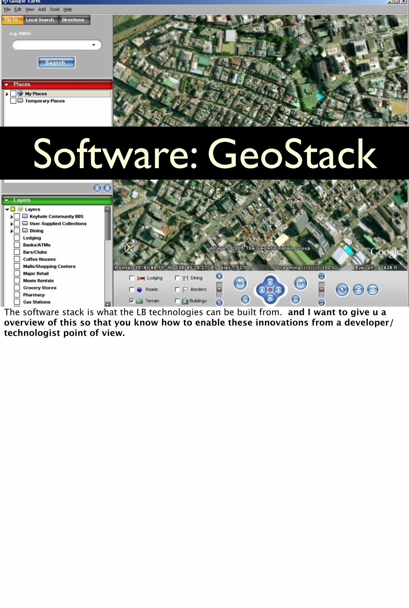
Software: GeoStack
The software stack is what the LB technologies can be built from. and I want to give u a overview of this so that you know how to enable these innovations from a developer/technologist point of view.
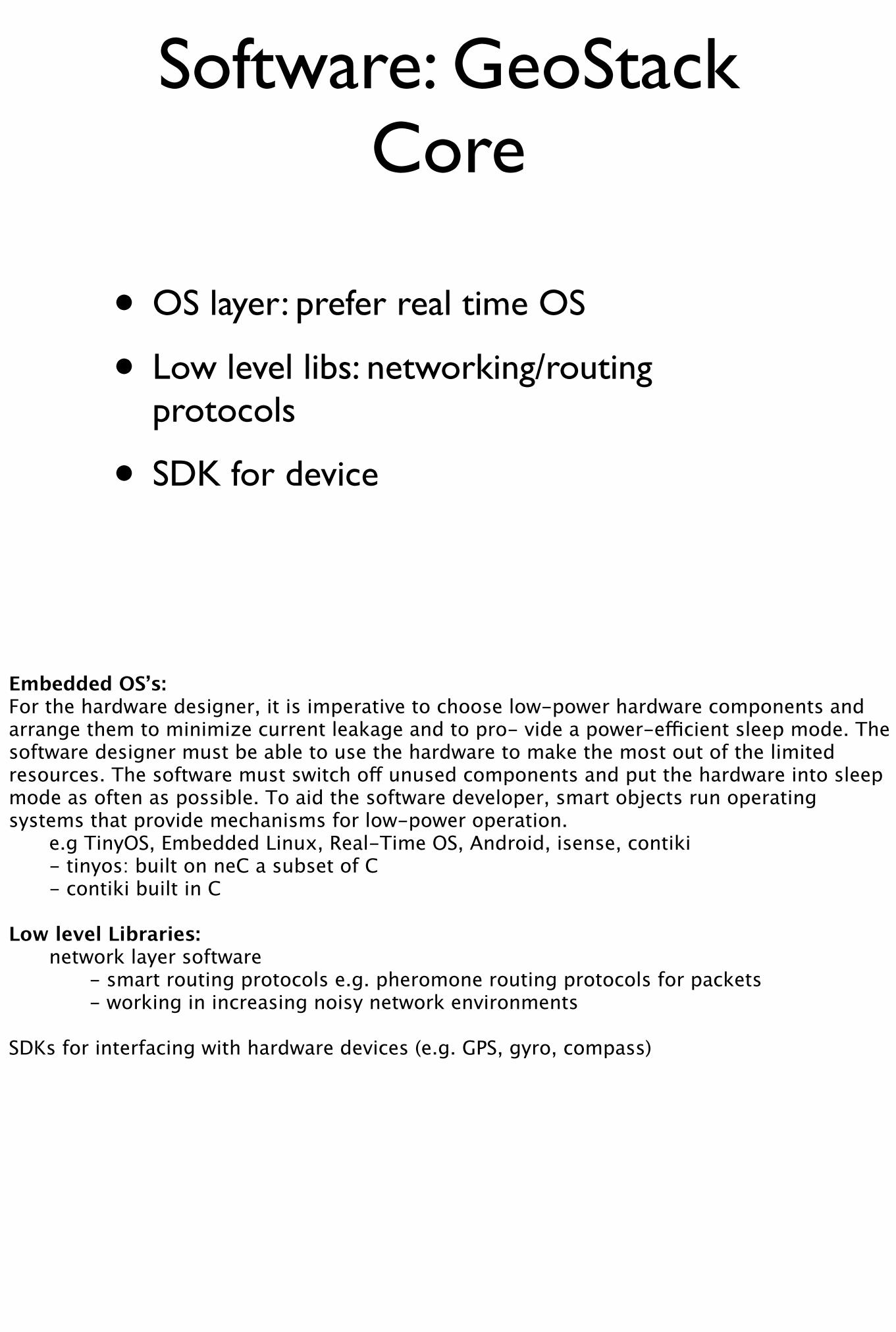
Software: GeoStack Core
• OS layer: prefer real time OS
• Low level libs: networking/routing protocols
• SDK for device
Embedded OS’s:For the hardware designer, it is imperative to choose low-power hardware components and arrange them to minimize current leakage and to pro- vide a power-efficient sleep mode. The software designer must be able to use the hardware to make the most out of the limited resources. The software must switch off unused components and put the hardware into sleep mode as often as possible. To aid the software developer, smart objects run operating systems that provide mechanisms for low-power operation. e.g TinyOS, Embedded Linux, Real-Time OS, Android, isense, contiki - tinyos: built on neC a subset of C - contiki built in C
Low level Libraries: network layer software - smart routing protocols e.g. pheromone routing protocols for packets - working in increasing noisy network environments
SDKs for interfacing with hardware devices (e.g. GPS, gyro, compass)
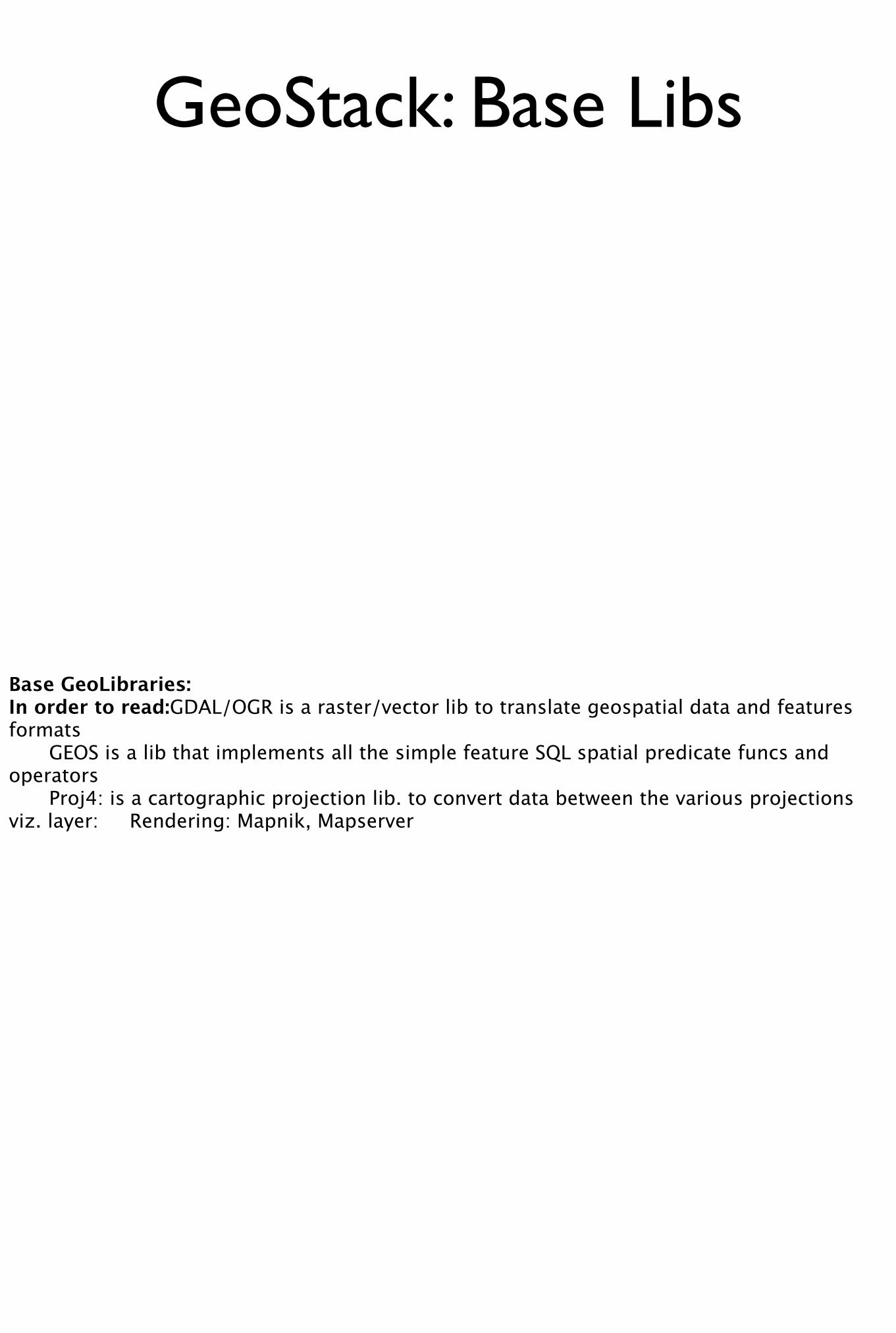
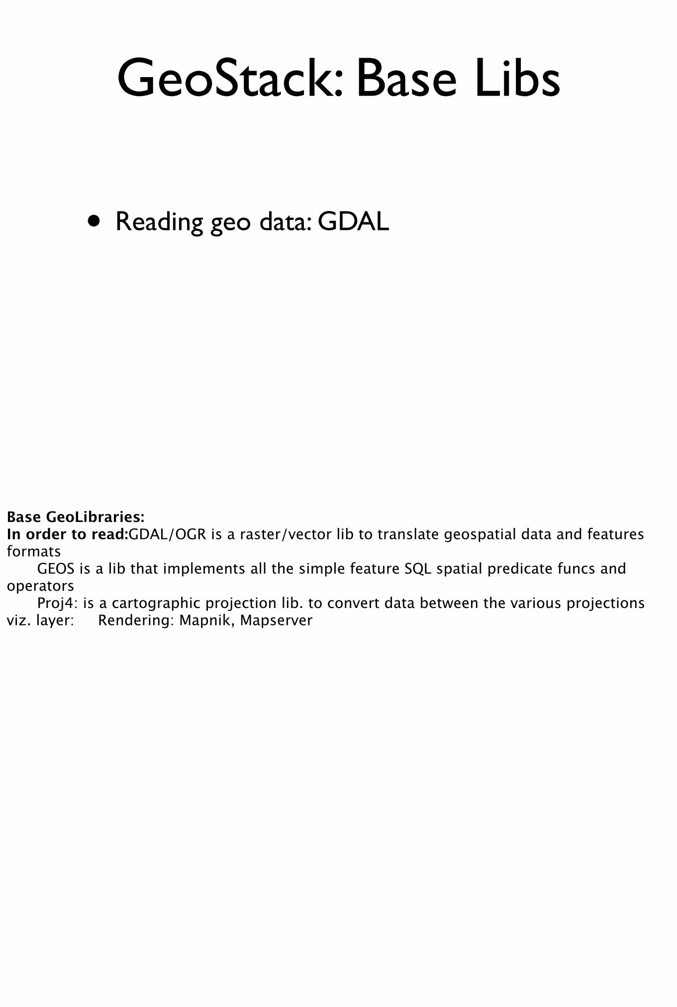
GeoStack: Base Libs
Base GeoLibraries:In order to read: GDAL/OGR is a raster/vector lib to translate geospatial data and features formats GEOS is a lib that implements all the simple feature SQL spatial predicate funcs and operators Proj4: is a cartographic projection lib. to convert data between the various projectionsviz. layer: Rendering: Mapnik, Mapserver
GeoStack: Base Libs
• Reading geo data: GDAL
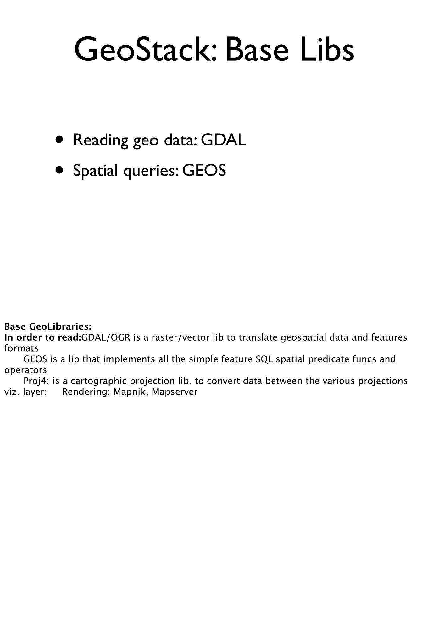
• Spatial queries: GEOS
Base GeoLibraries:In order to read: GDAL/OGR is a raster/vector lib to translate geospatial data and features formats GEOS is a lib that implements all the simple feature SQL spatial predicate funcs and operators Proj4: is a cartographic projection lib. to convert data between the various projectionsviz. layer: Rendering: Mapnik, Mapserver
GeoStack: Base Libs
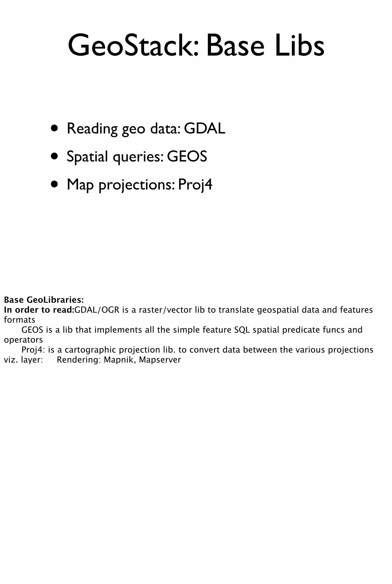
• Reading geo data: GDAL
• Spatial queries: GEOS
• Map projections: Proj4
Base GeoLibraries:In order to read: GDAL/OGR is a raster/vector lib to translate geospatial data and features formats GEOS is a lib that implements all the simple feature SQL spatial predicate funcs and operators Proj4: is a cartographic projection lib. to convert data between the various projectionsviz. layer: Rendering: Mapnik, Mapserver
GeoStack: Base Libs
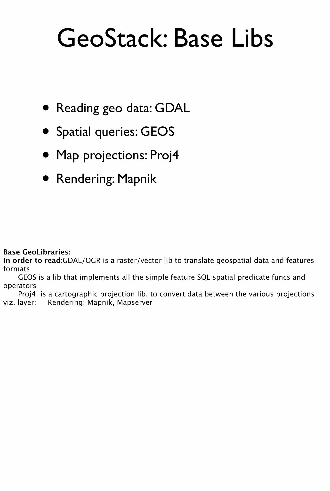
• Reading geo data: GDAL
• Spatial queries: GEOS
• Map projections: Proj4
• Rendering: Mapnik
Base GeoLibraries:In order to read: GDAL/OGR is a raster/vector lib to translate geospatial data and features formats GEOS is a lib that implements all the simple feature SQL spatial predicate funcs and operators Proj4: is a cartographic projection lib. to convert data between the various projectionsviz. layer: Rendering: Mapnik, Mapserver
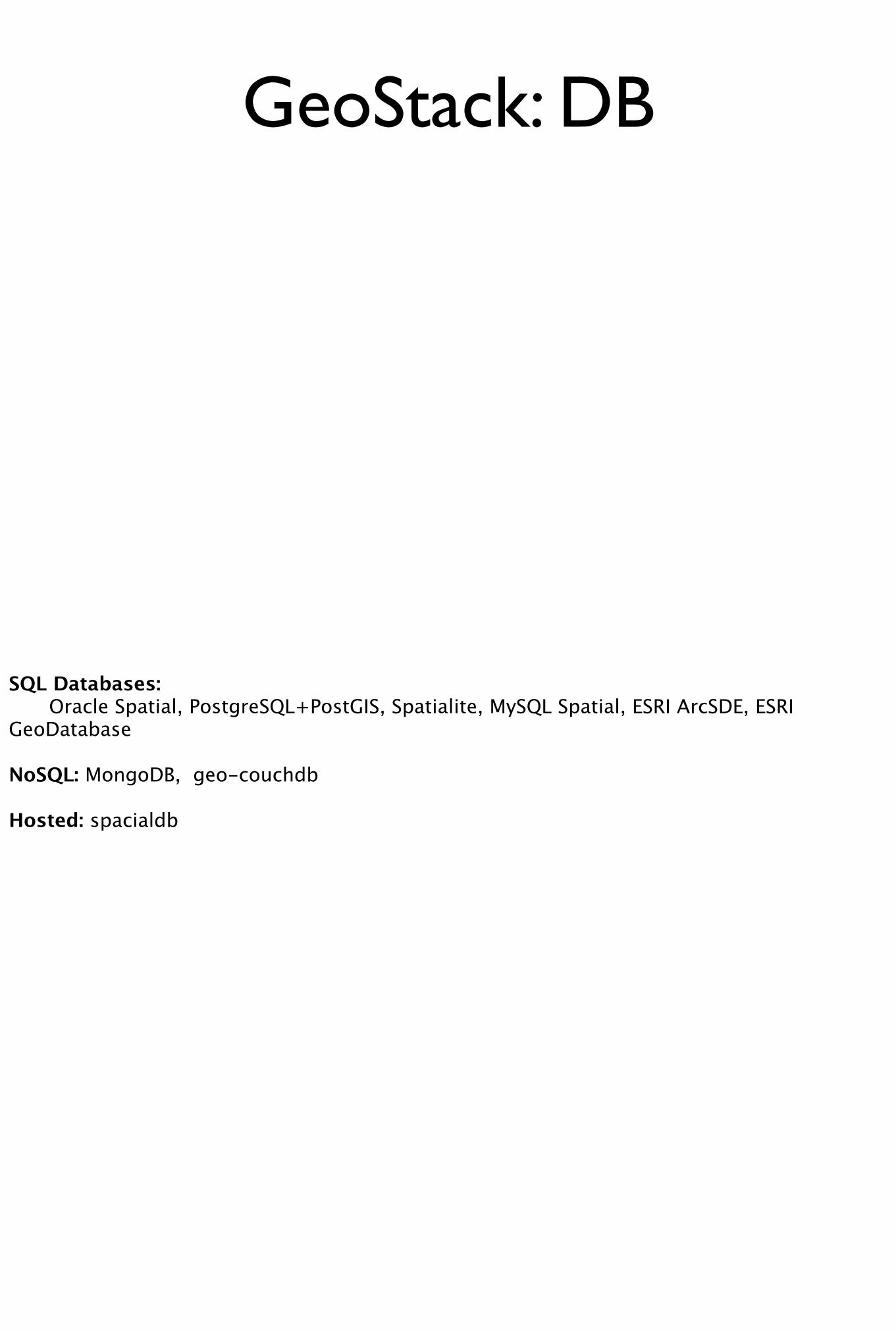
GeoStack: DB
SQL Databases: Oracle Spatial, PostgreSQL+PostGIS, Spatialite, MySQL Spatial, ESRI ArcSDE, ESRI GeoDatabase
NoSQL: MongoDB, geo-couchdb
Hosted: spacialdb
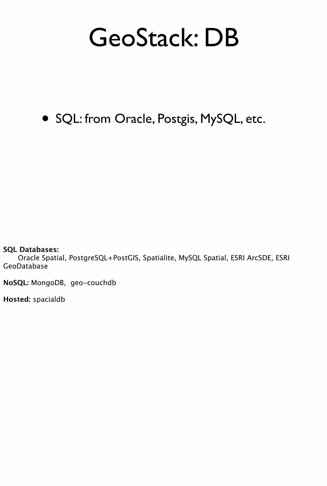
GeoStack: DB
• SQL: from Oracle, Postgis, MySQL, etc.
SQL Databases: Oracle Spatial, PostgreSQL+PostGIS, Spatialite, MySQL Spatial, ESRI ArcSDE, ESRI GeoDatabase
NoSQL: MongoDB, geo-couchdb
Hosted: spacialdb
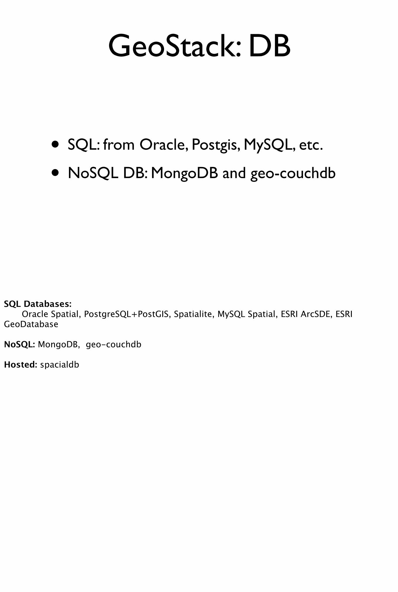
GeoStack: DB
• SQL: from Oracle, Postgis, MySQL, etc.
• NoSQL DB: MongoDB and geo-couchdb
SQL Databases: Oracle Spatial, PostgreSQL+PostGIS, Spatialite, MySQL Spatial, ESRI ArcSDE, ESRI GeoDatabase
NoSQL: MongoDB, geo-couchdb
Hosted: spacialdb
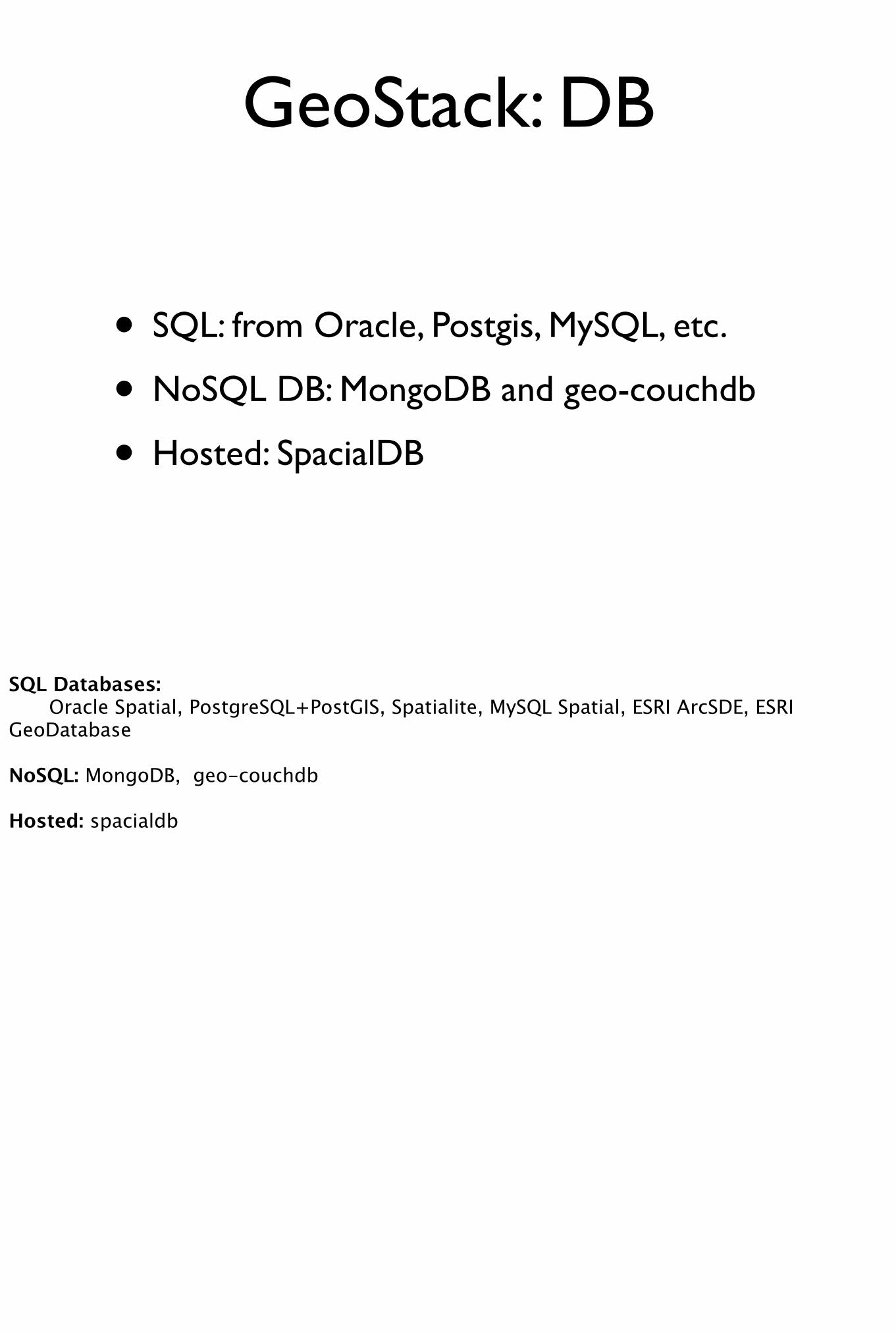
GeoStack: DB
• SQL: from Oracle, Postgis, MySQL, etc.
• NoSQL DB: MongoDB and geo-couchdb
• Hosted: SpacialDB
SQL Databases: Oracle Spatial, PostgreSQL+PostGIS, Spatialite, MySQL Spatial, ESRI ArcSDE, ESRI GeoDatabase
NoSQL: MongoDB, geo-couchdb
Hosted: spacialdb
GeoStack: Server
Web Application: Rails: SpatialAdapter, GeoRuby (georuby.com) Python: GeoDjango Java: GeoServer Node.js: geonode (geos node.js bindings)
Analysis Layer: ESRI ArcEngine,
GeoAnalysis Suits: R-Stats, GRASS, QGIS ?GRASS, QGIS? Has someone started porting to web
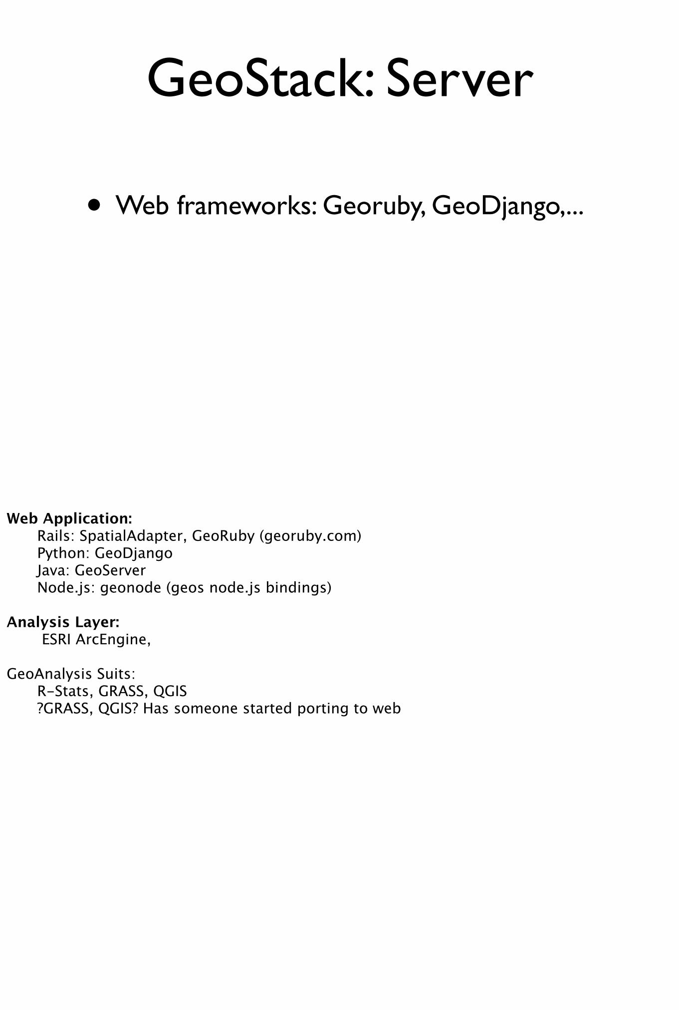
GeoStack: Server
• Web frameworks: Georuby, GeoDjango,...
Web Application: Rails: SpatialAdapter, GeoRuby (georuby.com) Python: GeoDjango Java: GeoServer Node.js: geonode (geos node.js bindings)
Analysis Layer: ESRI ArcEngine,
GeoAnalysis Suits: R-Stats, GRASS, QGIS ?GRASS, QGIS? Has someone started porting to web

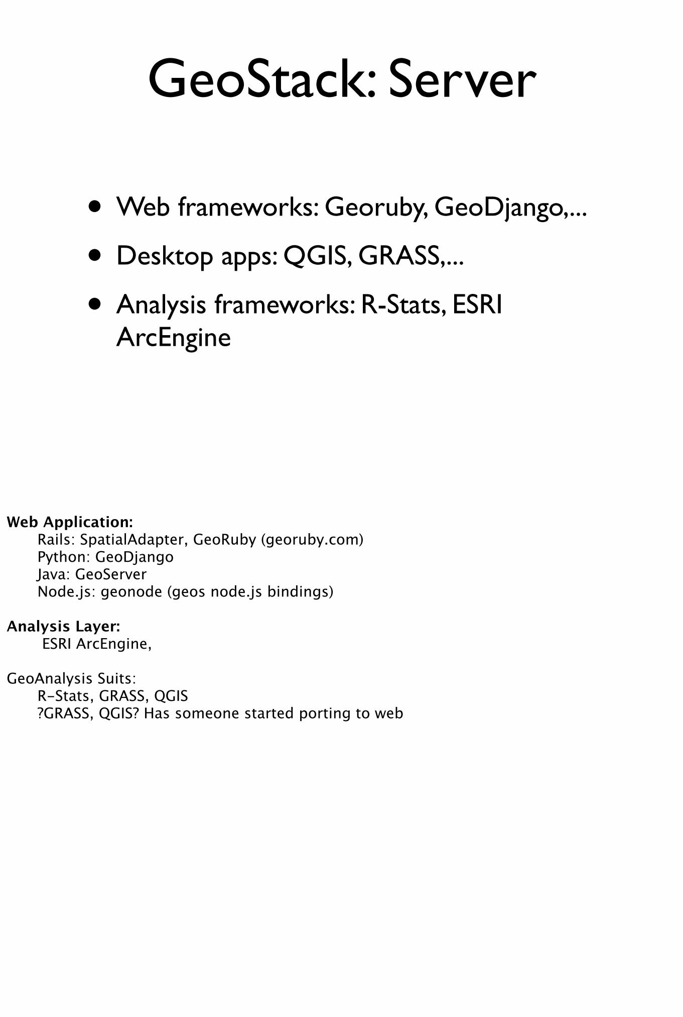
GeoStack: Server
• Web frameworks: Georuby, GeoDjango,...
• Desktop apps: QGIS, GRASS,...
Web Application: Rails: SpatialAdapter, GeoRuby (georuby.com) Python: GeoDjango Java: GeoServer Node.js: geonode (geos node.js bindings)
Analysis Layer: ESRI ArcEngine,
GeoAnalysis Suits: R-Stats, GRASS, QGIS ?GRASS, QGIS? Has someone started porting to web
GeoStack: Server
• Web frameworks: Georuby, GeoDjango,...
• Desktop apps: QGIS, GRASS,...
• Analysis frameworks: R-Stats, ESRI ArcEngine
Web Application: Rails: SpatialAdapter, GeoRuby (georuby.com) Python: GeoDjango Java: GeoServer Node.js: geonode (geos node.js bindings)
Analysis Layer: ESRI ArcEngine,
GeoAnalysis Suits: R-Stats, GRASS, QGIS ?GRASS, QGIS? Has someone started porting to web
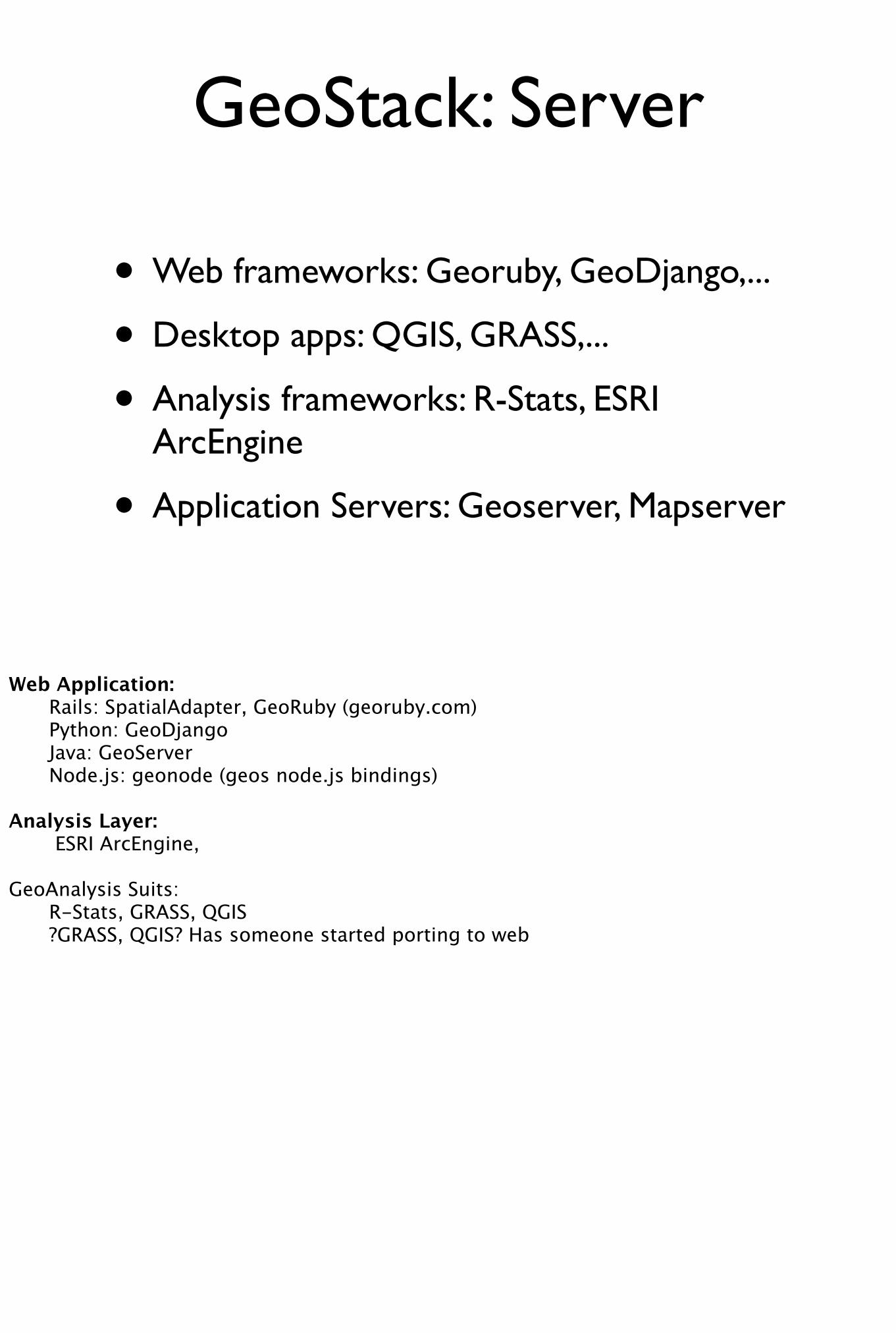
GeoStack: Server
• Web frameworks: Georuby, GeoDjango,...
• Desktop apps: QGIS, GRASS,...
• Analysis frameworks: R-Stats, ESRI ArcEngine
• Application Servers: Geoserver, Mapserver
Web Application: Rails: SpatialAdapter, GeoRuby (georuby.com) Python: GeoDjango Java: GeoServer Node.js: geonode (geos node.js bindings)
Analysis Layer: ESRI ArcEngine,
GeoAnalysis Suits: R-Stats, GRASS, QGIS ?GRASS, QGIS? Has someone started porting to web
Attributes of Location Technologies
Now that we have an idea of the core software stack we can use it as a building block to create location based services... but first we need some definition on the attributes of this technology
Coverage
Coverage is the availability of location information where you need it. An example of poor coverage would be a large building without any maps or exit signs to show you where you are relative to the outside. An example of a situation where coverage is critical may be when a firefighter is trying to rescue a person from a building.
Accuracy
Accuracy is how closely your position matches the reality. Are you within centimetres or meters of the actual target position. Importance of this is obvious in defence and rescue.
Speed
Speed is how quickly you obtain the position of the device or target. Speed varies with the type of technology and environmental conditions. For example positioning using IEEE 802.15.4-2006 (which is the communications standard used by devices in a Wireless Sensor Network or Mesh Network) in an environment polluted with WiFi noise will take longer to find a position than in a low noise environment.
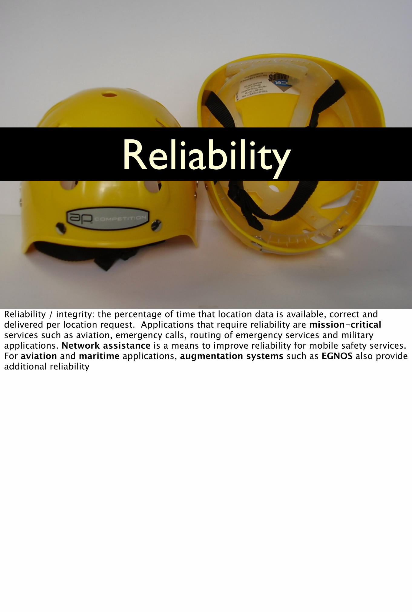
Reliability
Reliability / integrity: the percentage of time that location data is available, correct and delivered per location request. Applications that require reliability are mission-critical services such as aviation, emergency calls, routing of emergency services and military applications. Network assistance is a means to improve reliability for mobile safety services. For aviation and maritime applications, augmentation systems such as EGNOS also provide additional reliability
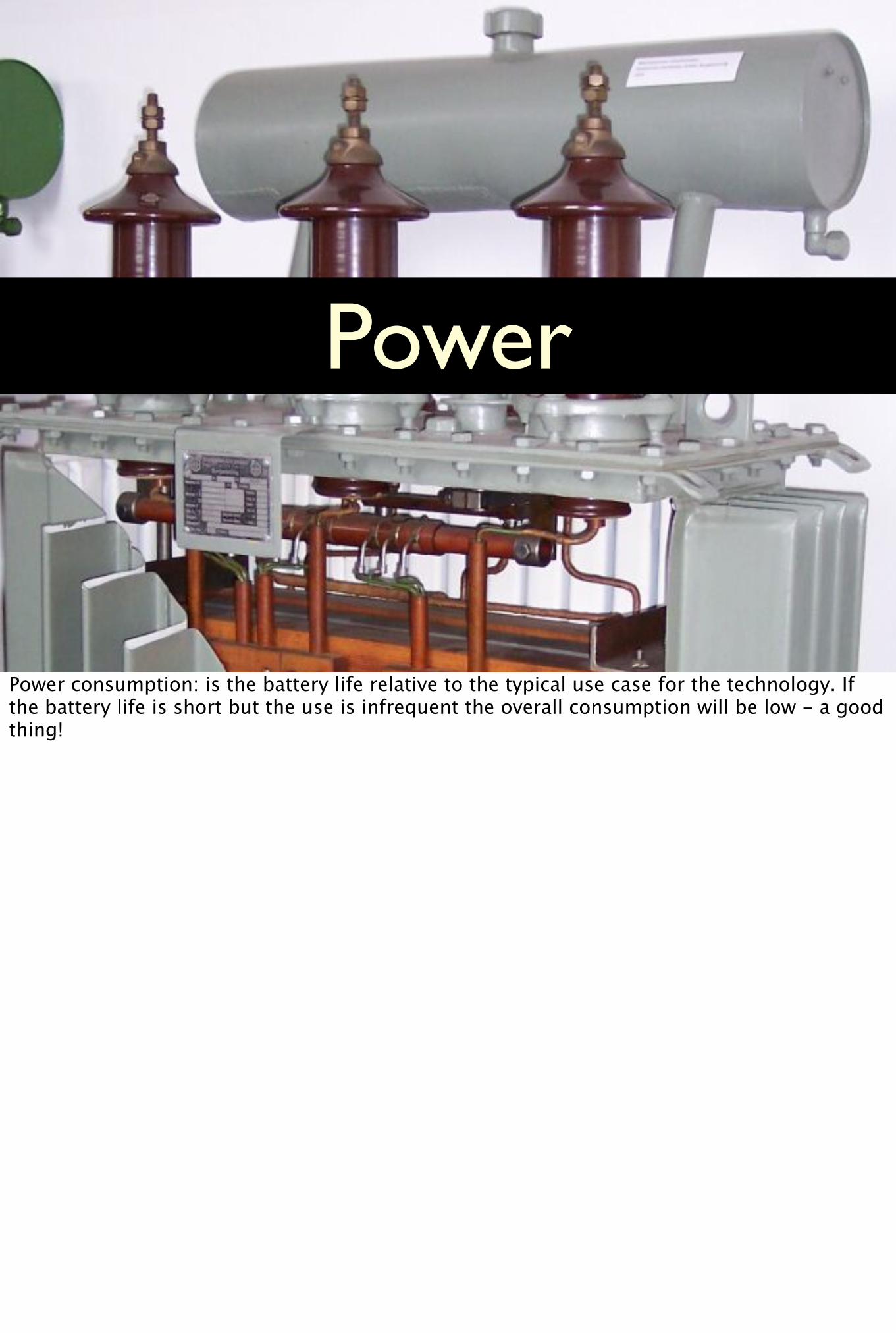
Power
Power consumption: is the battery life relative to the typical use case for the technology. If the battery life is short but the use is infrequent the overall consumption will be low - a good thing!
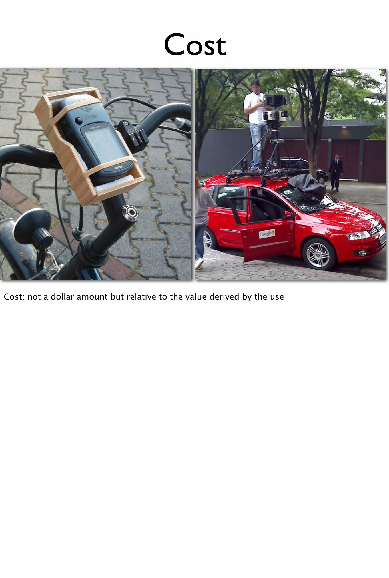
Cost
Cost: not a dollar amount but relative to the value derived by the use
http://www.flickr.com/photos/dalantech/2349477313/
Privacy
Privacy of location information especially when connected to real-time social networks comes with risks. As the LBS become main stream the users of these services will need to be better aware of the implications of making their location public. From the technology perspective the approach has been to give use control over the sharing of their location. However users aren’t always in the best position to judge the implications of sharing location information. For example some information that is already meant to be public is becoming more accessible thanks to the GeoWeb and improved local search. In this presentation, we will touch on the privacy issues without getting too caught up in it, as it is still a complex somewhat theoretical still.
Market Sectors
We have divided the location based market into these 5 distinct sectors, which we have chosen based on our own experience in working in them. I am sure there are more, and we would encourage the audience to think of further sectors and think of possible avenues of innovation in them.
One of the most exciting and expanding sectors is that of Consumer mobile and LBS largely driven by applications running on smart phones.
A huge and innovative sector is that of Telematics which shoaib will talk about.
Another sector is that of outdoor activities and personal navigation devices which is seeing some growth coming from devices which are now more networked.
Governments have been at the forefront of GIS and GPS technologies, as they are responsible for national geographic information infrastructures, and continue to be heavy users of geospatial information for their day to day work. Finally more and more NGO’s are finding location an invaluable part of their workflow, so we have a sector for them as well.
Market Sectors
• Consumer mobile and LBS
• Telematics
• Outdoor activities
• Government and NGOs
We have divided the location based market into these 5 distinct sectors, which we have chosen based on our own experience in working in them. I am sure there are more, and we would encourage the audience to think of further sectors and think of possible avenues of innovation in them.
One of the most exciting and expanding sectors is that of Consumer mobile and LBS largely driven by applications running on smart phones.
A huge and innovative sector is that of Telematics which shoaib will talk about.
Another sector is that of outdoor activities and personal navigation devices which is seeing some growth coming from devices which are now more networked.
Governments have been at the forefront of GIS and GPS technologies, as they are responsible for national geographic information infrastructures, and continue to be heavy users of geospatial information for their day to day work. Finally more and more NGO’s are finding location an invaluable part of their workflow, so we have a sector for them as well.
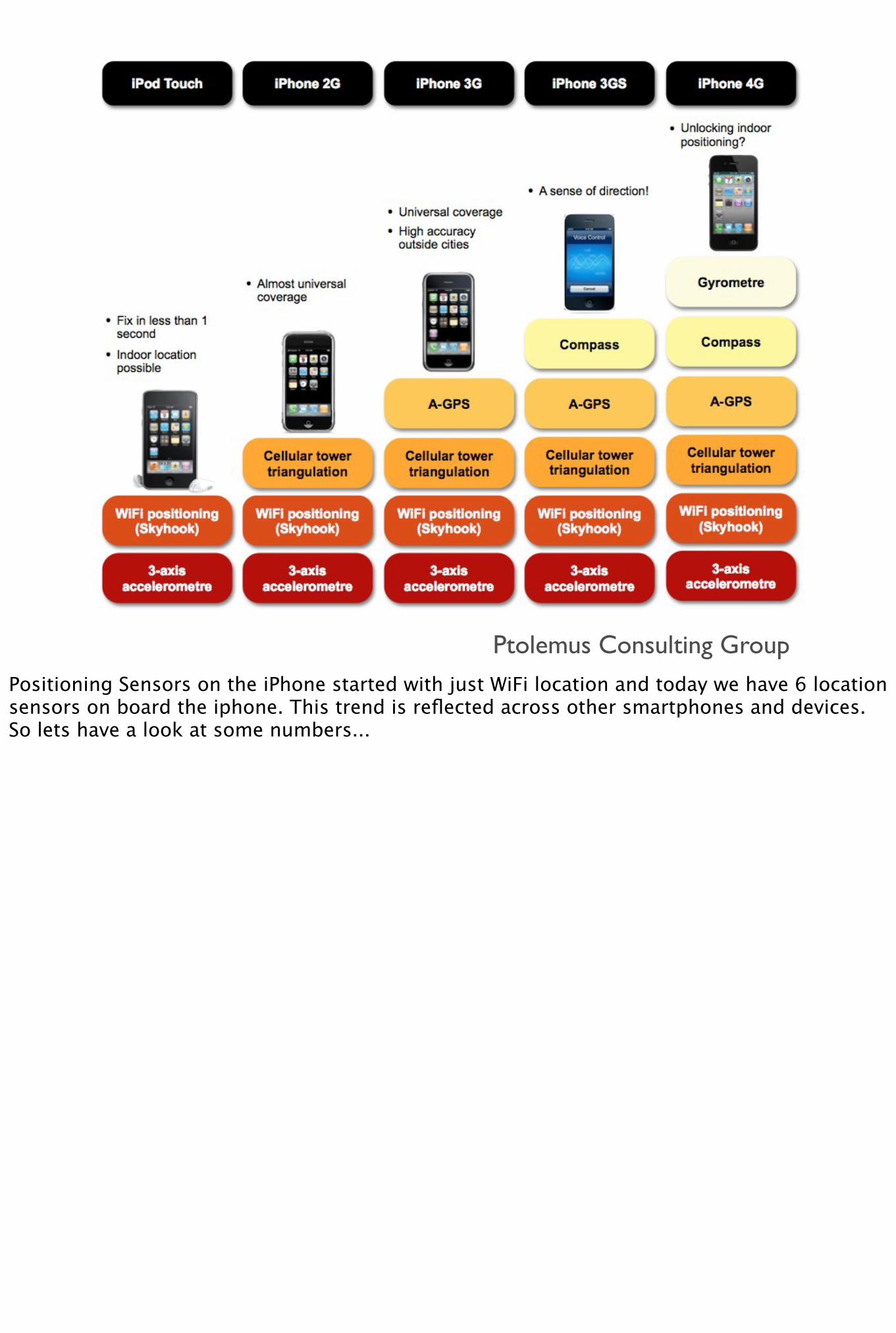
Ptolemus Consulting GroupPositioning Sensors on the iPhone started with just WiFi location and today we have 6 location sensors on board the iphone. This trend is reflected across other smartphones and devices. So lets have a look at some numbers...
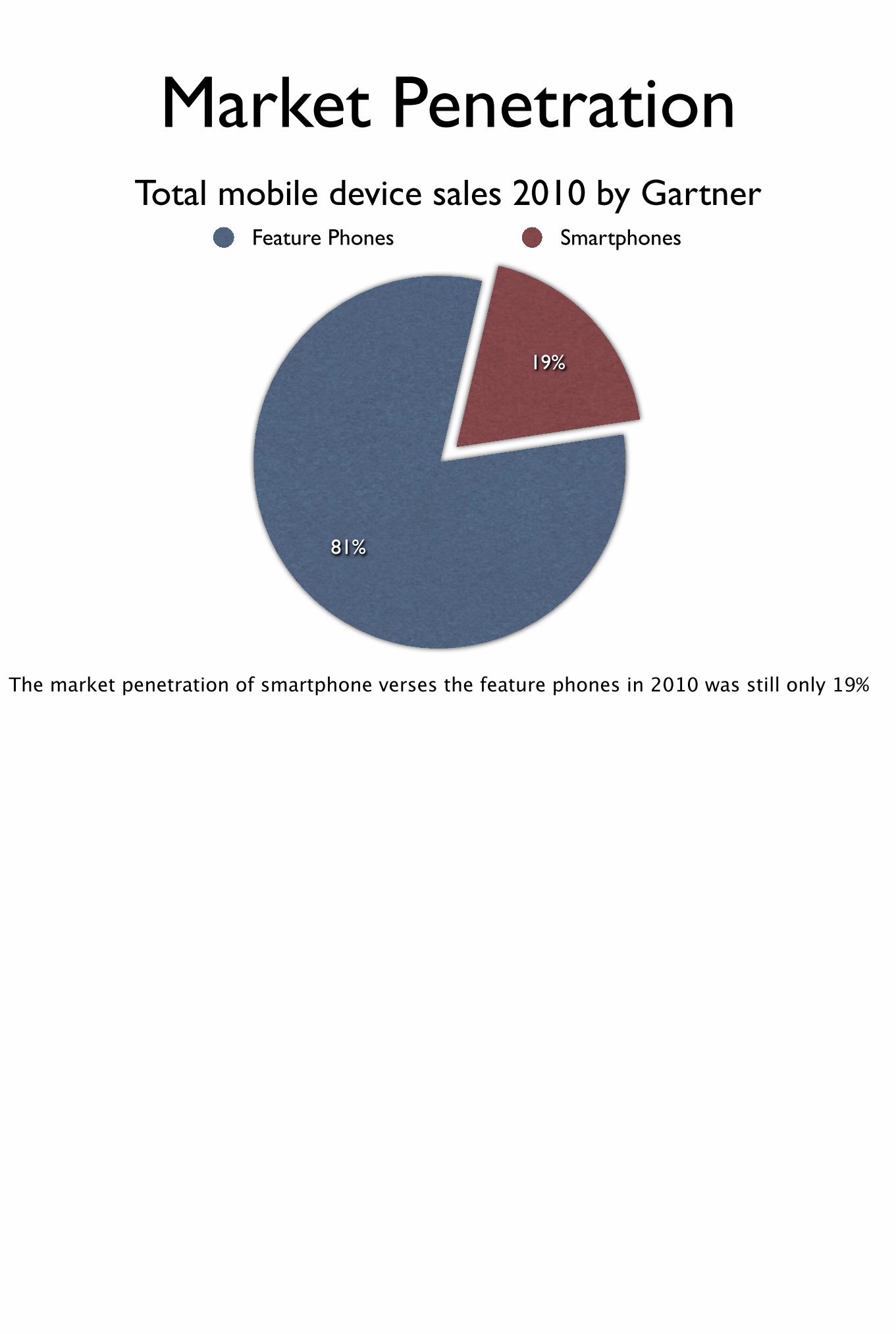
19%
81%
Feature Phones Smartphones
Total mobile device sales 2010 by Gartner
Market Penetration
The market penetration of smartphone verses the feature phones in 2010 was still only 19%
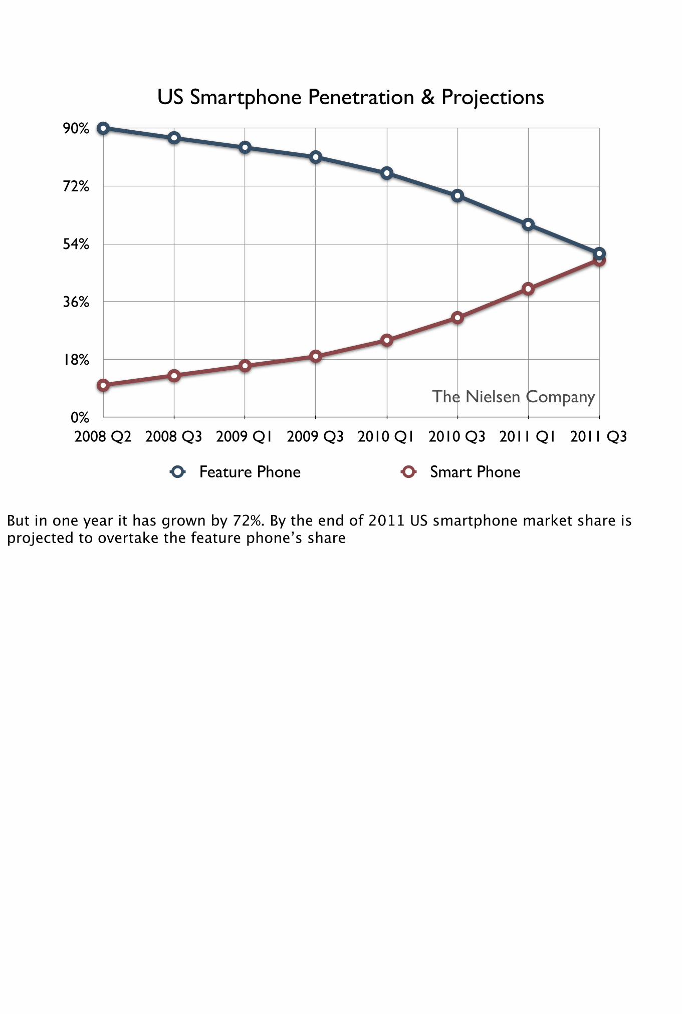
0%
18%
36%
54%
72%
90%
2008 Q2 2008 Q3 2009 Q1 2009 Q3 2010 Q1 2010 Q3 2011 Q1 2011 Q3
US Smartphone Penetration & Projections
Feature Phone Smart Phone
The Nielsen Company
But in one year it has grown by 72%. By the end of 2011 US smartphone market share is projected to overtake the feature phone’s share
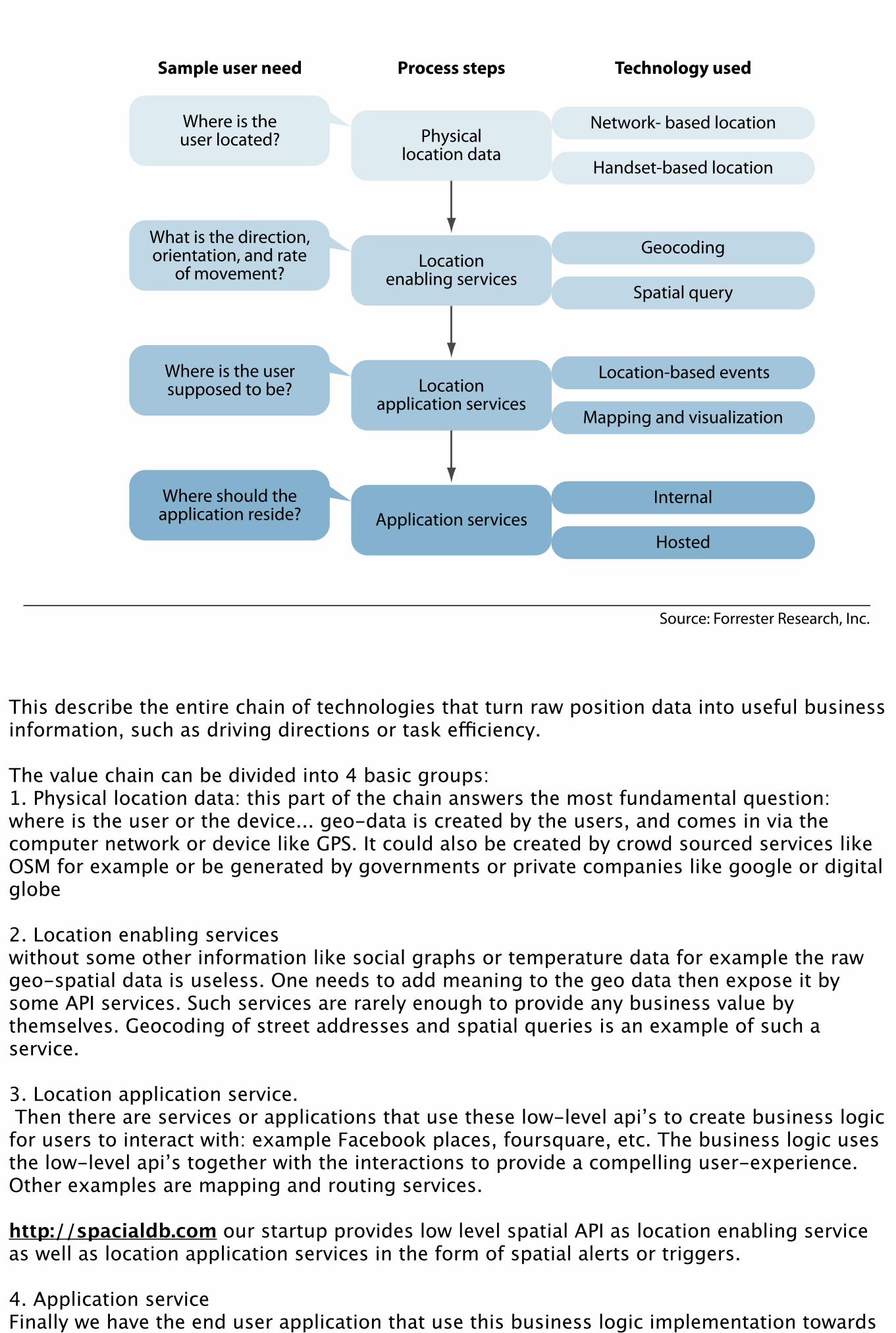
This describe the entire chain of technologies that turn raw position data into useful business information, such as driving directions or task efficiency.
The value chain can be divided into 4 basic groups:1. Physical location data: this part of the chain answers the most fundamental question: where is the user or the device... geo-data is created by the users, and comes in via the computer network or device like GPS. It could also be created by crowd sourced services like OSM for example or be generated by governments or private companies like google or digital globe
2. Location enabling serviceswithout some other information like social graphs or temperature data for example the raw geo-spatial data is useless. One needs to add meaning to the geo data then expose it by some API services. Such services are rarely enough to provide any business value by themselves. Geocoding of street addresses and spatial queries is an example of such a service.
3. Location application service. Then there are services or applications that use these low-level api’s to create business logic for users to interact with: example Facebook places, foursquare, etc. The business logic uses the low-level api’s together with the interactions to provide a compelling user-experience. Other examples are mapping and routing services.
http://spacialdb.com our startup provides low level spatial API as location enabling service as well as location application services in the form of spatial alerts or triggers.
4. Application serviceFinally we have the end user application that use this business logic implementation towards a particular goal. For example to calculate analytics or for disaster response. Of course we also have the actual hardware manufactures that provide sdk’s for such applications to be ported on their devices.

Sub Sectors
Let me get into the subsectors now... starting with:
Shopping
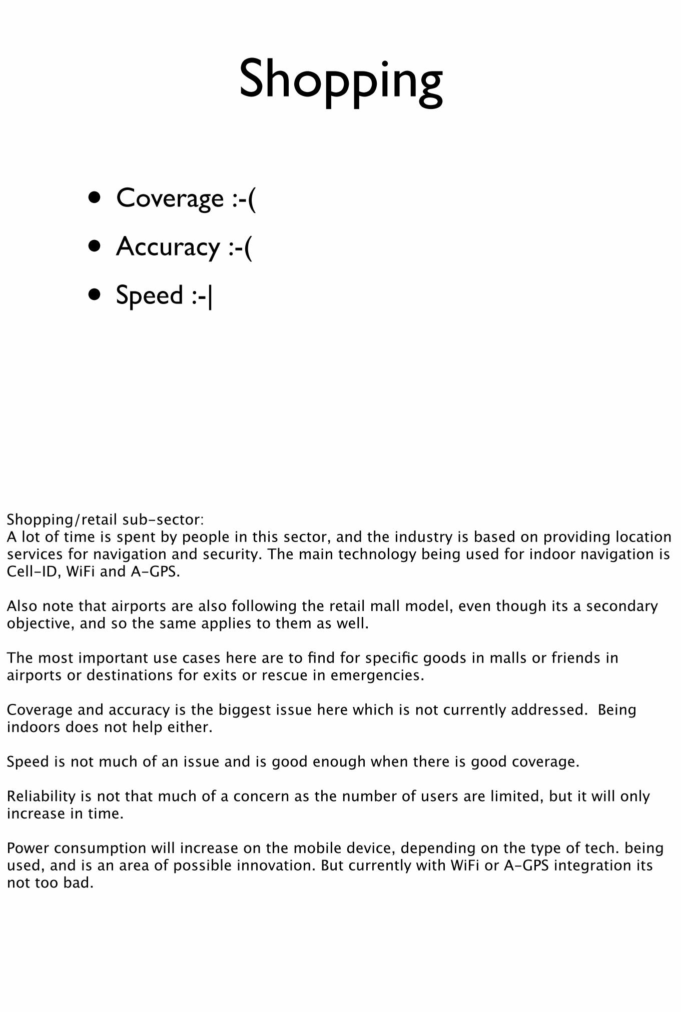
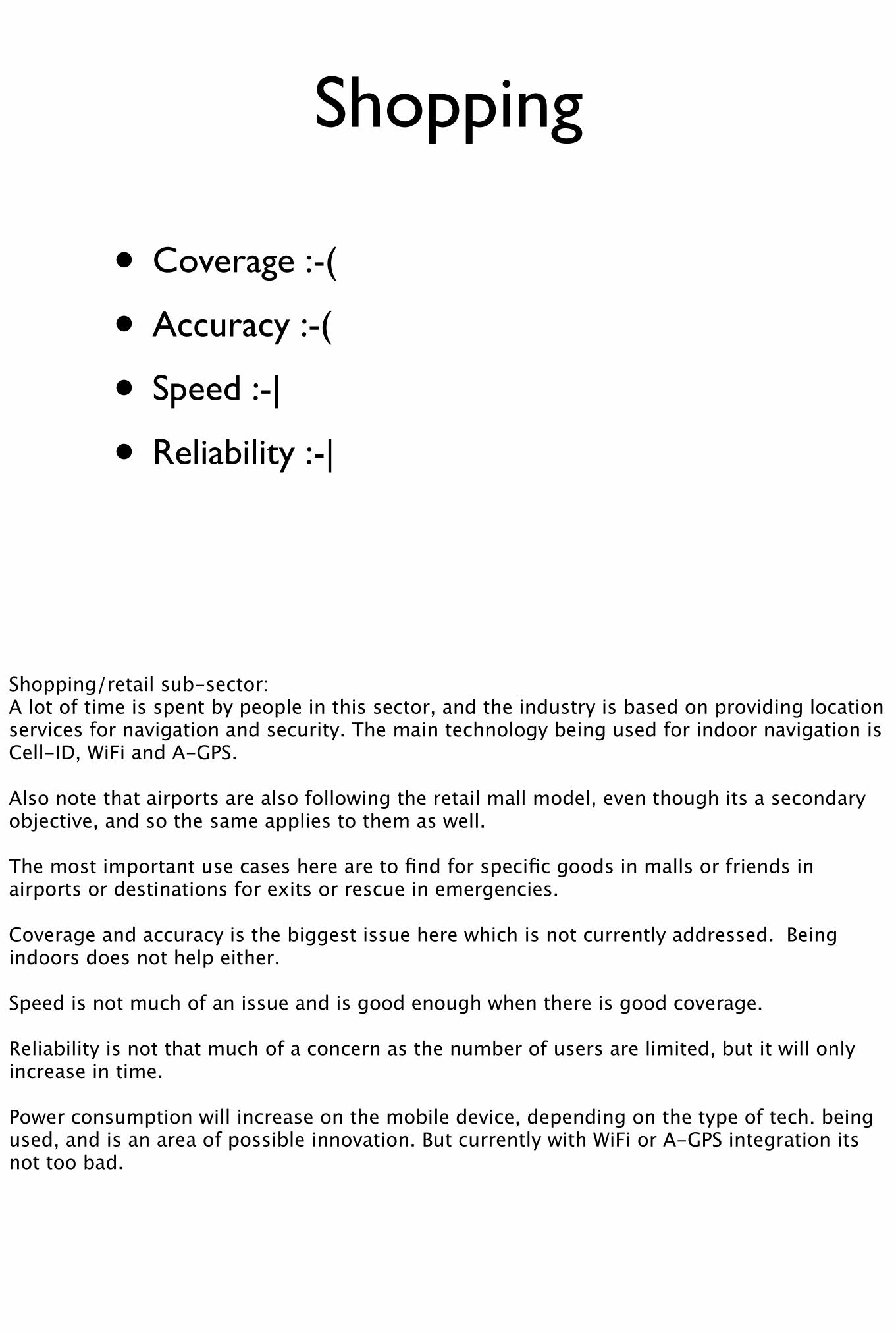
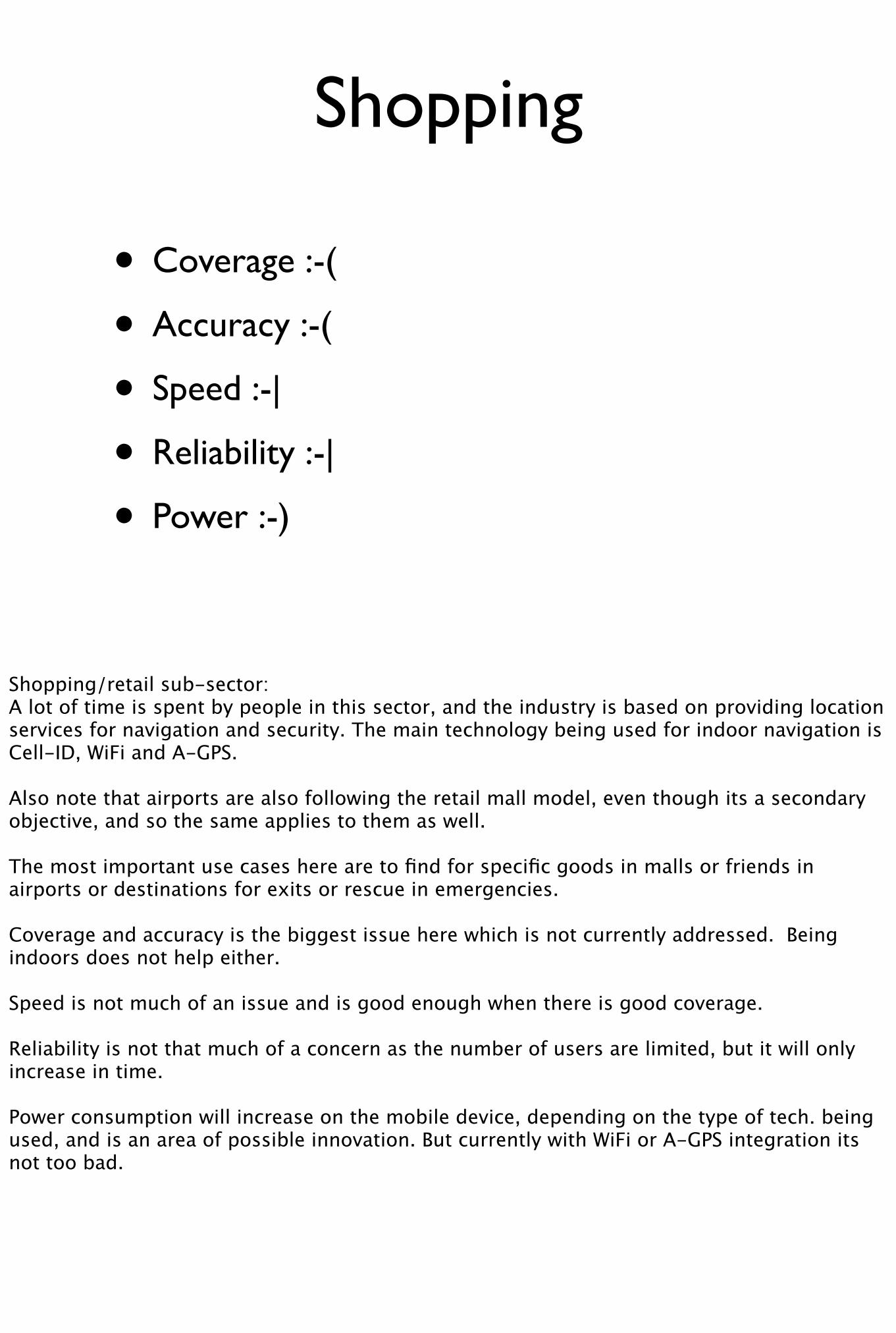
Shopping/retail sub-sector:A lot of time is spent by people in this sector, and the industry is based on providing location services for navigation and security. The main technology being used for indoor navigation is Cell-ID, WiFi and A-GPS.
Also note that airports are also following the retail mall model, even though its a secondary objective, and so the same applies to them as well.
The most important use cases here are to find for specific goods in malls or friends in airports or destinations for exits or rescue in emergencies.
Coverage and accuracy is the biggest issue here which is not currently addressed. Being indoors does not help either.
Speed is not much of an issue and is good enough when there is good coverage.
Reliability is not that much of a concern as the number of users are limited, but it will only increase in time.
Power consumption will increase on the mobile device, depending on the type of tech. being used, and is an area of possible innovation. But currently with WiFi or A-GPS integration its not too bad.
Shopping
• Coverage :-(
• Accuracy :-(
• Speed :-|
• Reliability :-|
• Power :-)
Shopping/retail sub-sector:A lot of time is spent by people in this sector, and the industry is based on providing location services for navigation and security. The main technology being used for indoor navigation is Cell-ID, WiFi and A-GPS.
Also note that airports are also following the retail mall model, even though its a secondary objective, and so the same applies to them as well.
The most important use cases here are to find for specific goods in malls or friends in airports or destinations for exits or rescue in emergencies.
Coverage and accuracy is the biggest issue here which is not currently addressed. Being indoors does not help either.
Speed is not much of an issue and is good enough when there is good coverage.
Reliability is not that much of a concern as the number of users are limited, but it will only increase in time.
Power consumption will increase on the mobile device, depending on the type of tech. being used, and is an area of possible innovation. But currently with WiFi or A-GPS integration its not too bad.

Social networks and gaming
We Infer what we do based on who we are with. knowing our friends’ preference can provide advice on where to buy something, or where to go for entertainment, etc.
Use cases of location based social networking are checkins services like foursquares and also games that make you go out to do something rather than sitting in front of the computer.
Coverage is quite good, but privacy remains the biggest unavailable need especially its management for non technical or young users.
Adding realtime notifications to social events is going to be a big area of innovation, especially in dealing with the vast amount of computation required as social graphs grow.

Social networks and gaming
• Coverage :-)
• Privacy :-(
We Infer what we do based on who we are with. knowing our friends’ preference can provide advice on where to buy something, or where to go for entertainment, etc.
Use cases of location based social networking are checkins services like foursquares and also games that make you go out to do something rather than sitting in front of the computer.
Coverage is quite good, but privacy remains the biggest unavailable need especially its management for non technical or young users.
Adding realtime notifications to social events is going to be a big area of innovation, especially in dealing with the vast amount of computation required as social graphs grow.
Advertisement
This industry is expected to grow and not the least from iAd and location is clearly a way to make ads relevant and a source of further revenue.
The issues here is of coverage, in that the percent of smartphone users is quite low, so the campaign is not worth running for these niche users.
Accuracy, with checkins and couponing is available, but how to extract ad value from accurate position is an open area... think AR with virtual billboards as u swing around...
LBMarketing is the creation of an app sponsored by a brand, which can use location better than the ads coming through disruptive banners inside apps which provide little metric for actual advertising.
Advertisement
• Coverage :-(
• Accuracy :-|
• Privacy :-(
This industry is expected to grow and not the least from iAd and location is clearly a way to make ads relevant and a source of further revenue.
The issues here is of coverage, in that the percent of smartphone users is quite low, so the campaign is not worth running for these niche users.
Accuracy, with checkins and couponing is available, but how to extract ad value from accurate position is an open area... think AR with virtual billboards as u swing around...
LBMarketing is the creation of an app sponsored by a brand, which can use location better than the ads coming through disruptive banners inside apps which provide little metric for actual advertising.
Indoor
We spend most of our times indoors from the office to the mall and then home :-( but no system or service has been given to properly address this opportunity
Let me describe some potential use cases in the indoor sector:
imagine knowing where your colleagues are in a big office, or which room is free for a quick meeting...
at airports indoor positioning can give travels information about the location of their gates, how long it will take to get there as well as sale notifications from shops
Check-in apps no longer need manual input of indoor location, but can do so automatically, and can inform you if your friend is on the 2nd floor etc.
Finally augmented reality apps could play a big role indoors as well as outdoors.
However the coverage and accuracy remain the big issues here because of being indoors.
They require additional hardware, and some solutions exists using wifi, but they lack accuracy and reliability.
but new buildings that have had fore-though put into nav. but the market penetration is still shallow in terms of costs as well.
Indoor
• Coverage :-(
• Accuracy :-(
We spend most of our times indoors from the office to the mall and then home :-( but no system or service has been given to properly address this opportunity
Let me describe some potential use cases in the indoor sector:
imagine knowing where your colleagues are in a big office, or which room is free for a quick meeting...
at airports indoor positioning can give travels information about the location of their gates, how long it will take to get there as well as sale notifications from shops
Check-in apps no longer need manual input of indoor location, but can do so automatically, and can inform you if your friend is on the 2nd floor etc.
Finally augmented reality apps could play a big role indoors as well as outdoors.
However the coverage and accuracy remain the big issues here because of being indoors.
They require additional hardware, and some solutions exists using wifi, but they lack accuracy and reliability.
but new buildings that have had fore-though put into nav. but the market penetration is still shallow in terms of costs as well.

Indoor
• Coverage :-(
• Accuracy :-(
• Speed :-)
We spend most of our times indoors from the office to the mall and then home :-( but no system or service has been given to properly address this opportunity
Let me describe some potential use cases in the indoor sector:
imagine knowing where your colleagues are in a big office, or which room is free for a quick meeting...
at airports indoor positioning can give travels information about the location of their gates, how long it will take to get there as well as sale notifications from shops
Check-in apps no longer need manual input of indoor location, but can do so automatically, and can inform you if your friend is on the 2nd floor etc.
Finally augmented reality apps could play a big role indoors as well as outdoors.
However the coverage and accuracy remain the big issues here because of being indoors.
They require additional hardware, and some solutions exists using wifi, but they lack accuracy and reliability.
but new buildings that have had fore-though put into nav. but the market penetration is still shallow in terms of costs as well.
Indoor
• Coverage :-(
• Accuracy :-(
• Speed :-)
• Reliability :-(
• Power :-(
We spend most of our times indoors from the office to the mall and then home :-( but no system or service has been given to properly address this opportunity
Let me describe some potential use cases in the indoor sector:
imagine knowing where your colleagues are in a big office, or which room is free for a quick meeting...
at airports indoor positioning can give travels information about the location of their gates, how long it will take to get there as well as sale notifications from shops
Check-in apps no longer need manual input of indoor location, but can do so automatically, and can inform you if your friend is on the 2nd floor etc.
Finally augmented reality apps could play a big role indoors as well as outdoors.
However the coverage and accuracy remain the big issues here because of being indoors.
They require additional hardware, and some solutions exists using wifi, but they lack accuracy and reliability.
but new buildings that have had fore-though put into nav. but the market penetration is still shallow in terms of costs as well.
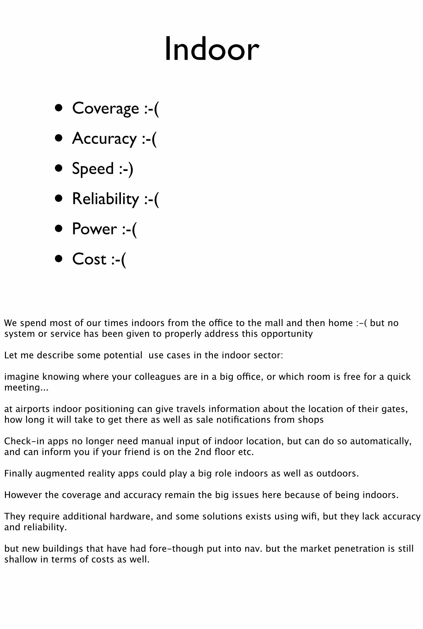
Indoor
• Coverage :-(
• Accuracy :-(
• Speed :-)
• Reliability :-(
• Power :-(
• Cost :-(
We spend most of our times indoors from the office to the mall and then home :-( but no system or service has been given to properly address this opportunity
Let me describe some potential use cases in the indoor sector:
imagine knowing where your colleagues are in a big office, or which room is free for a quick meeting...
at airports indoor positioning can give travels information about the location of their gates, how long it will take to get there as well as sale notifications from shops
Check-in apps no longer need manual input of indoor location, but can do so automatically, and can inform you if your friend is on the 2nd floor etc.
Finally augmented reality apps could play a big role indoors as well as outdoors.
However the coverage and accuracy remain the big issues here because of being indoors.
They require additional hardware, and some solutions exists using wifi, but they lack accuracy and reliability.
but new buildings that have had fore-though put into nav. but the market penetration is still shallow in terms of costs as well.
Summary of LBS
Apps which work indoors like inside shopping/retail centers require coverage which is not solved yet.
For mobile apps like social gaming or tourism, its important to have high accuracy which is still lacking.
For instant gratification apps, speed is required, e.g. coupons/check-ins, where the transactions need to be finished in seconds... but for outdoor apps like navigation, speed is not that big an issue, but increasingly will become one.
We as consumers are becoming reliant on location at an ever increasing pace, so now reliability is especially for touristic applications and applications like check-ins for example is very important.
Battery life is still an issue and hinders some type of LBS, particularly those running on hand-held devices. nothing worse than being lost and not being able to call someone because the battery had died, a situation someone here has been in I am sure.

Summary of LBS
• Coverage: is still wanting due to the indoor nature of mobile device applications?
Apps which work indoors like inside shopping/retail centers require coverage which is not solved yet.
For mobile apps like social gaming or tourism, its important to have high accuracy which is still lacking.
For instant gratification apps, speed is required, e.g. coupons/check-ins, where the transactions need to be finished in seconds... but for outdoor apps like navigation, speed is not that big an issue, but increasingly will become one.
We as consumers are becoming reliant on location at an ever increasing pace, so now reliability is especially for touristic applications and applications like check-ins for example is very important.
Battery life is still an issue and hinders some type of LBS, particularly those running on hand-held devices. nothing worse than being lost and not being able to call someone because the battery had died, a situation someone here has been in I am sure.
Summary of LBS
• Coverage: is still wanting due to the indoor nature of mobile device applications?
• Accuracy is not perfect either...
• Speed similarly lacking for some subsectors
• Reliability: not being used enough for concern yet small % of markets
• Power: Battery life still an issue, and needs further innovations
Apps which work indoors like inside shopping/retail centers require coverage which is not solved yet.
For mobile apps like social gaming or tourism, its important to have high accuracy which is still lacking.
For instant gratification apps, speed is required, e.g. coupons/check-ins, where the transactions need to be finished in seconds... but for outdoor apps like navigation, speed is not that big an issue, but increasingly will become one.
We as consumers are becoming reliant on location at an ever increasing pace, so now reliability is especially for touristic applications and applications like check-ins for example is very important.
Battery life is still an issue and hinders some type of LBS, particularly those running on hand-held devices. nothing worse than being lost and not being able to call someone because the battery had died, a situation someone here has been in I am sure.
Telematics Industry
Telematics industry includes application of ICT to the movement of goods and people using existing transportation networks such as road, air, rail or water.

Rest of this talk
We will broadly define the Value Chain in the Telematics Sector. List the Technology Stack. Then list sub-sectors and then define each sub-sector discussing its maturity, limitations and future trends and potential innovations.

Rest of this talk
• Telematics value chain/proposition
We will broadly define the Value Chain in the Telematics Sector. List the Technology Stack. Then list sub-sectors and then define each sub-sector discussing its maturity, limitations and future trends and potential innovations.
Rest of this talk
• Telematics value chain/proposition
• Technology Stack
We will broadly define the Value Chain in the Telematics Sector. List the Technology Stack. Then list sub-sectors and then define each sub-sector discussing its maturity, limitations and future trends and potential innovations.

Rest of this talk
• Telematics value chain/proposition
• Technology Stack
• List Telematics sub-sectors
We will broadly define the Value Chain in the Telematics Sector. List the Technology Stack. Then list sub-sectors and then define each sub-sector discussing its maturity, limitations and future trends and potential innovations.
Rest of this talk
• Telematics value chain/proposition
• Technology Stack
• List Telematics sub-sectors
• Maturity of sub-sector
• Current limitations
• Broader trends
• Potential innovations re. positioning
We will broadly define the Value Chain in the Telematics Sector. List the Technology Stack. Then list sub-sectors and then define each sub-sector discussing its maturity, limitations and future trends and potential innovations.
Technology Stack
I will go into the core stack in a bit of detail in the next slide but its the silicon, chipsets and base-data upon which the sub-sector specific services are built.
OEM Original Device manufactures sell telematics devices which are equipped with location sensors.
Communication infrastructure used by the telematics devices often includes the cellular phone networks - used to deliver content to and from the vehicles.
Services are provided by Telematics Service Providers these can include real-time routing, reports on traffic conditions, estimated time of arrival, emergency notification.
Software applications & Content: software systems with the business logic and storage, management, backup of data from telematics devices have to deal with greater quantities and complexities of inputs.
Web: With the telematics devices including 3G capabilities and in-car devices able to run traditional web applications.
Technology Stack
• Core
• Device/OEM
• Communication
• Service provision
• Software Application & Content
• Web
I will go into the core stack in a bit of detail in the next slide but its the silicon, chipsets and base-data upon which the sub-sector specific services are built.
OEM Original Device manufactures sell telematics devices which are equipped with location sensors.
Communication infrastructure used by the telematics devices often includes the cellular phone networks - used to deliver content to and from the vehicles.
Services are provided by Telematics Service Providers these can include real-time routing, reports on traffic conditions, estimated time of arrival, emergency notification.
Software applications & Content: software systems with the business logic and storage, management, backup of data from telematics devices have to deal with greater quantities and complexities of inputs.
Web: With the telematics devices including 3G capabilities and in-car devices able to run traditional web applications.
Telematics Technology Stack
Core: Let me elaborate on the core technologies a bit. The biggest change here is the addition of network connectivity and a move towards multi-functional devices. Thus navigation is just one of many functions performed by the onboard networked devices. Networking opens up possibilities for a wide range of innovations to occur.
Sensors and Location enablers: Innovations to accuracy and coverage are quite common. Power is not a problem as the devices can be kept powered by the car’s power. Innovation in vehicle safety systems requires changes at the core technology stack. In particular location enablers, sensors and antennas. These are to improve safety by detecting if a collision or an accident is imminent.
Operating System: trends are to open up to third party developers letting them build value added services.
GeoData content providers: are increasingly working in networked environments allowing services to be users centric and real-time.
Telematics Technology Stack
• Core
• Location Enablers
• Operating Systems
• Geospatial content providers
Core: Let me elaborate on the core technologies a bit. The biggest change here is the addition of network connectivity and a move towards multi-functional devices. Thus navigation is just one of many functions performed by the onboard networked devices. Networking opens up possibilities for a wide range of innovations to occur.
Sensors and Location enablers: Innovations to accuracy and coverage are quite common. Power is not a problem as the devices can be kept powered by the car’s power. Innovation in vehicle safety systems requires changes at the core technology stack. In particular location enablers, sensors and antennas. These are to improve safety by detecting if a collision or an accident is imminent.
Operating System: trends are to open up to third party developers letting them build value added services.
GeoData content providers: are increasingly working in networked environments allowing services to be users centric and real-time.
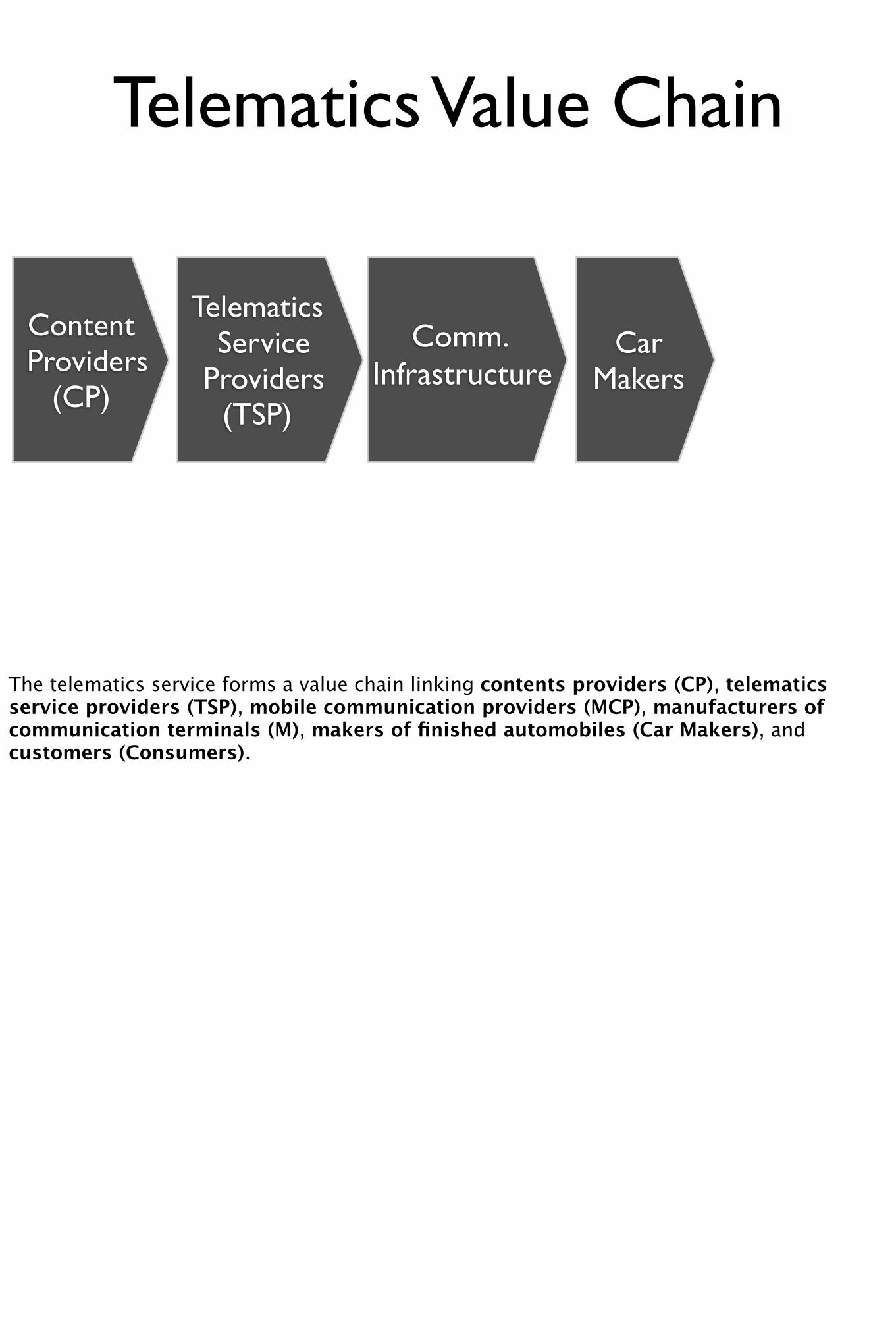
Telematics Value Chain
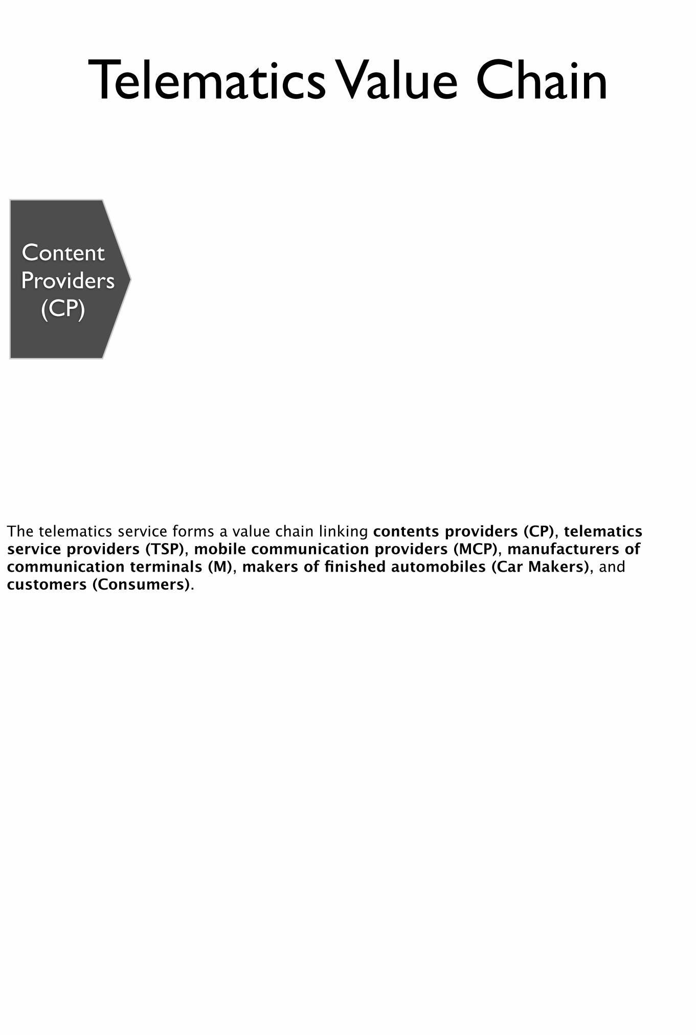
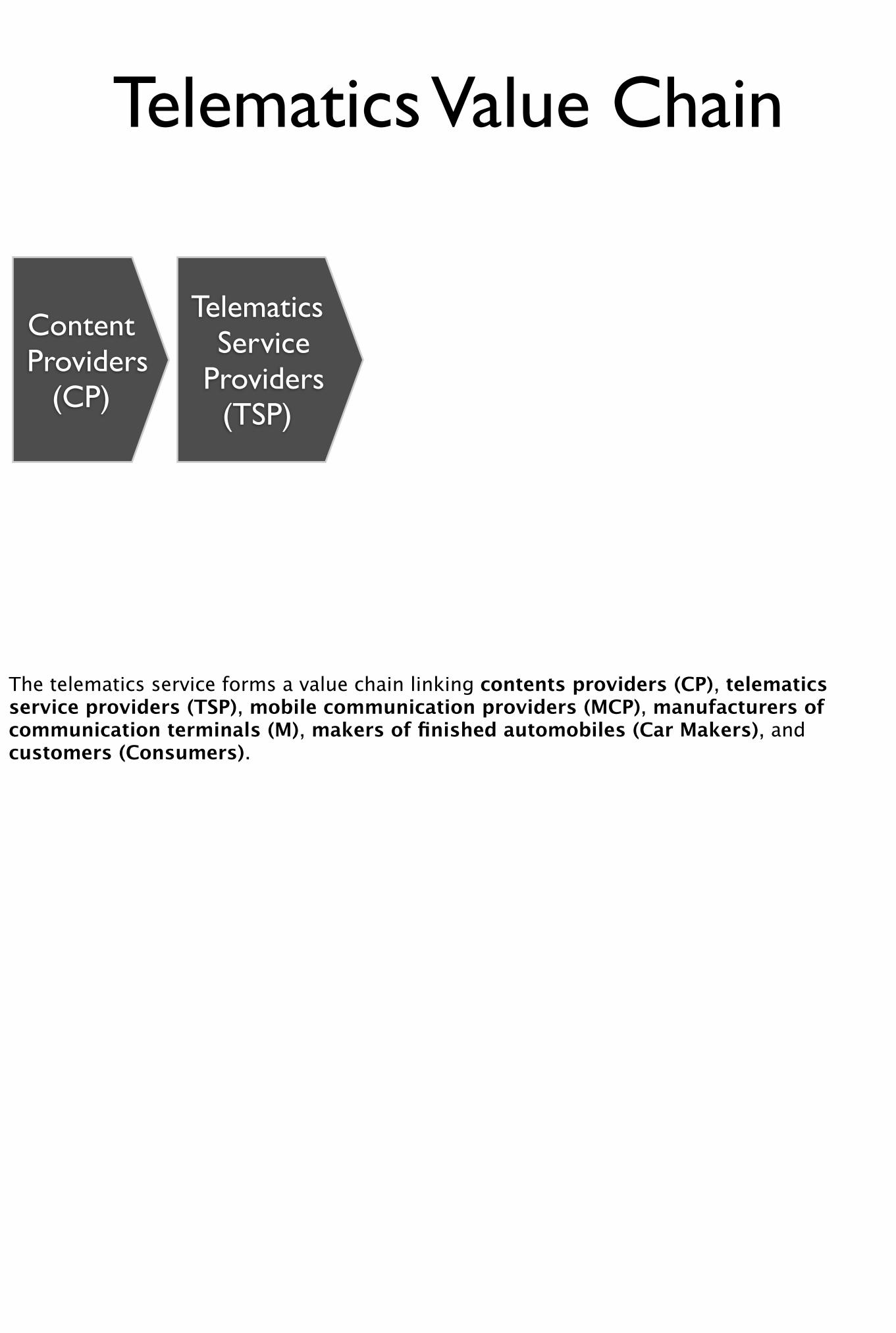
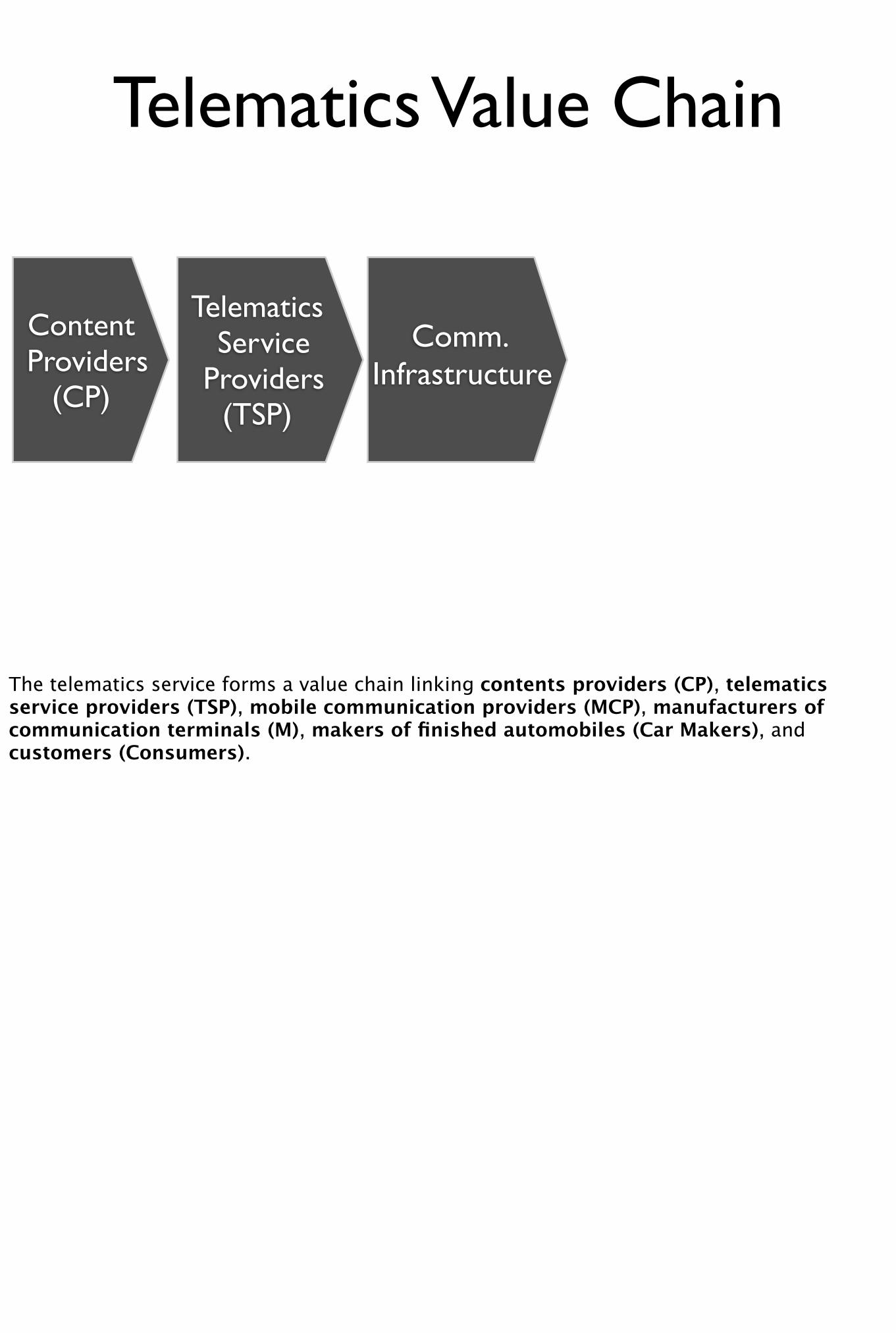
The telematics service forms a value chain linking contents providers (CP), telematics service providers (TSP), mobile communication providers (MCP), manufacturers of communication terminals (M), makers of finished automobiles (Car Makers), and customers (Consumers).
Telematics Value Chain
Content Providers
(CP)
TelematicsService
Providers(TSP)
Comm.Infrastructure
Car Makers
The telematics service forms a value chain linking contents providers (CP), telematics service providers (TSP), mobile communication providers (MCP), manufacturers of communication terminals (M), makers of finished automobiles (Car Makers), and customers (Consumers).
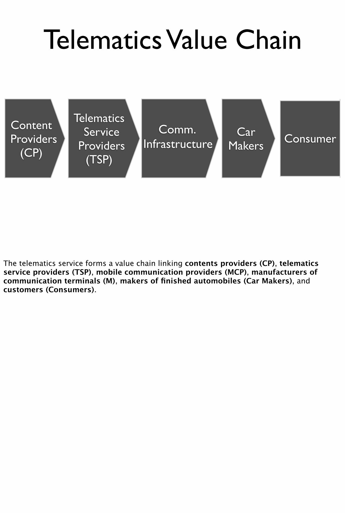
Telematics Value Chain
Content Providers
(CP)Consumer
TelematicsService
Providers(TSP)
Comm.Infrastructure
Car Makers
The telematics service forms a value chain linking contents providers (CP), telematics service providers (TSP), mobile communication providers (MCP), manufacturers of communication terminals (M), makers of finished automobiles (Car Makers), and customers (Consumers).
Value Proposition
To consumersSafety & securityTime savings (navigation)Increased productivity (in vehicle)
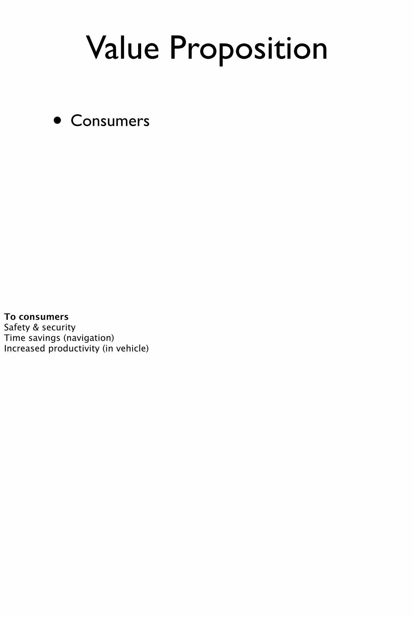
• Consumers
Value Proposition
To consumersSafety & securityTime savings (navigation)Increased productivity (in vehicle)
• Consumers
- Safety & Security,
Value Proposition
To consumersSafety & securityTime savings (navigation)Increased productivity (in vehicle)
• Consumers
- Safety & Security,
- Time Savings
Value Proposition
To consumersSafety & securityTime savings (navigation)Increased productivity (in vehicle)
• Consumers
- Safety & Security,
- Time Savings
- Increased Productive
Value Proposition
To consumersSafety & securityTime savings (navigation)Increased productivity (in vehicle)
• Consumers
- Safety & Security,
- Time Savings
- Increased Productive
- Entertainment
Value Proposition
To consumersSafety & securityTime savings (navigation)Increased productivity (in vehicle)
• Fleet provider
- Optimisation of assets
Value Proposition
To fleet providerOptimisation of assets (asset tracking, performance monitoring)
Value Proposition
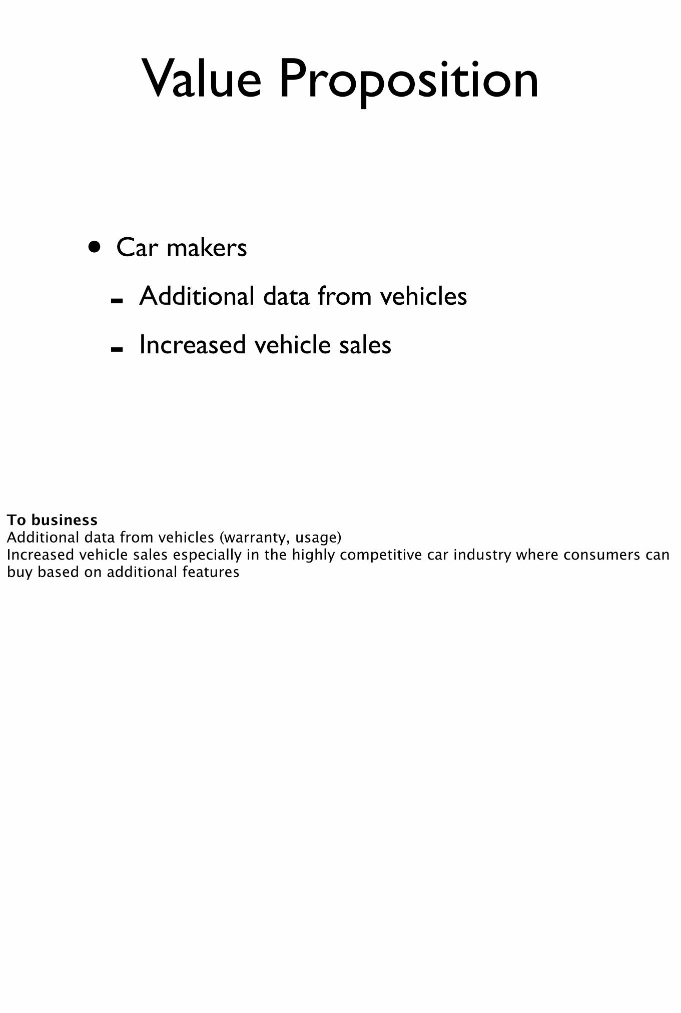
To businessAdditional data from vehicles (warranty, usage)Increased vehicle sales especially in the highly competitive car industry where consumers can buy based on additional features
• Car makers
Value Proposition
To businessAdditional data from vehicles (warranty, usage)Increased vehicle sales especially in the highly competitive car industry where consumers can buy based on additional features
• Car makers
- Additional data from vehicles
Value Proposition
To businessAdditional data from vehicles (warranty, usage)Increased vehicle sales especially in the highly competitive car industry where consumers can buy based on additional features
• Car makers
- Additional data from vehicles
- Increased vehicle sales
Value Proposition
To businessAdditional data from vehicles (warranty, usage)Increased vehicle sales especially in the highly competitive car industry where consumers can buy based on additional features
Value Proposition
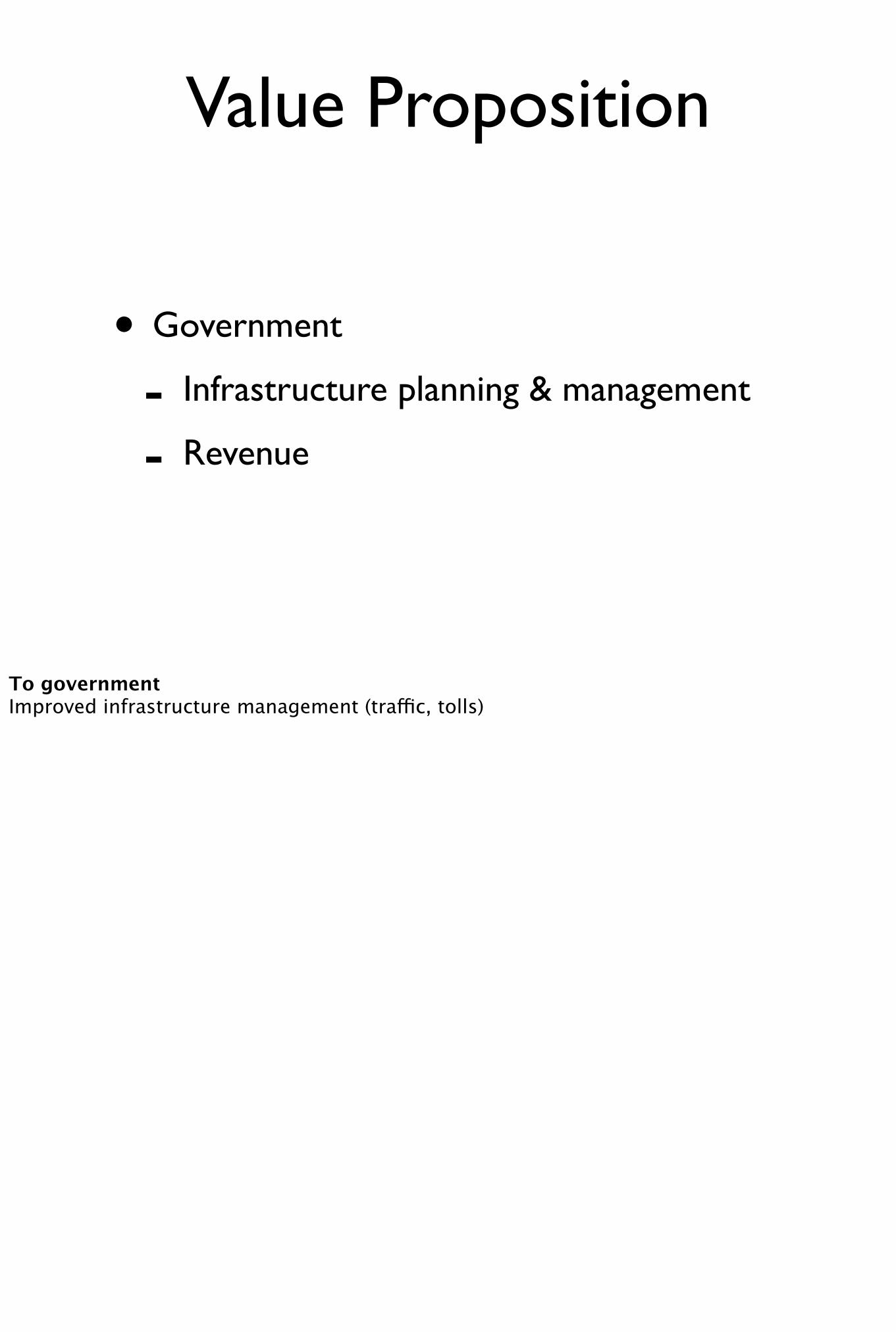
To governmentImproved infrastructure management (traffic, tolls)
• Government
Value Proposition
To governmentImproved infrastructure management (traffic, tolls)
• Government
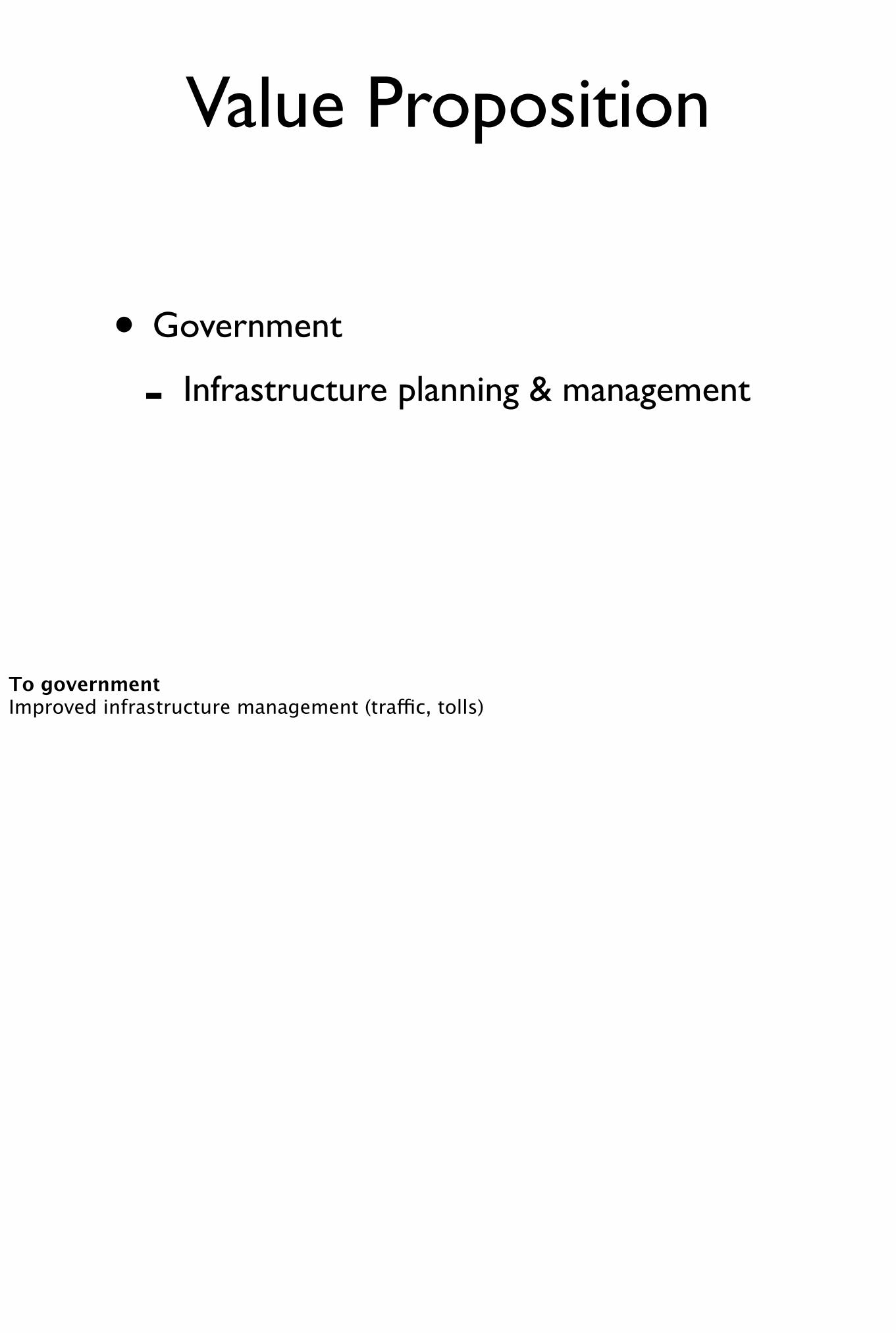
- Infrastructure planning & management
Value Proposition
To governmentImproved infrastructure management (traffic, tolls)
• Government
- Infrastructure planning & management
- Revenue
Value Proposition
To governmentImproved infrastructure management (traffic, tolls)
GeoData Providers
I won’t be able to go into every core data provided in the telematics industry but I’d like to mention one in particular which is quite interesting as it uses telematics to collect data and resell analysed data to Telematics Service Providers. Namely Floating vehicle data
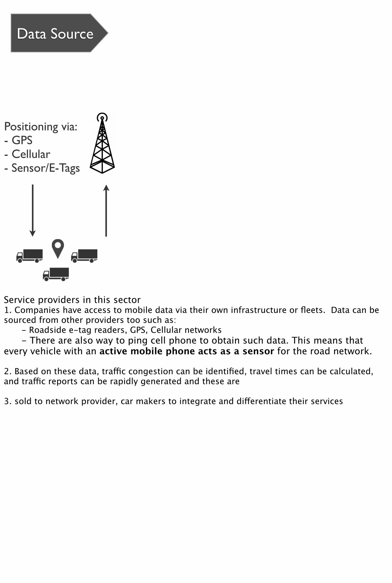
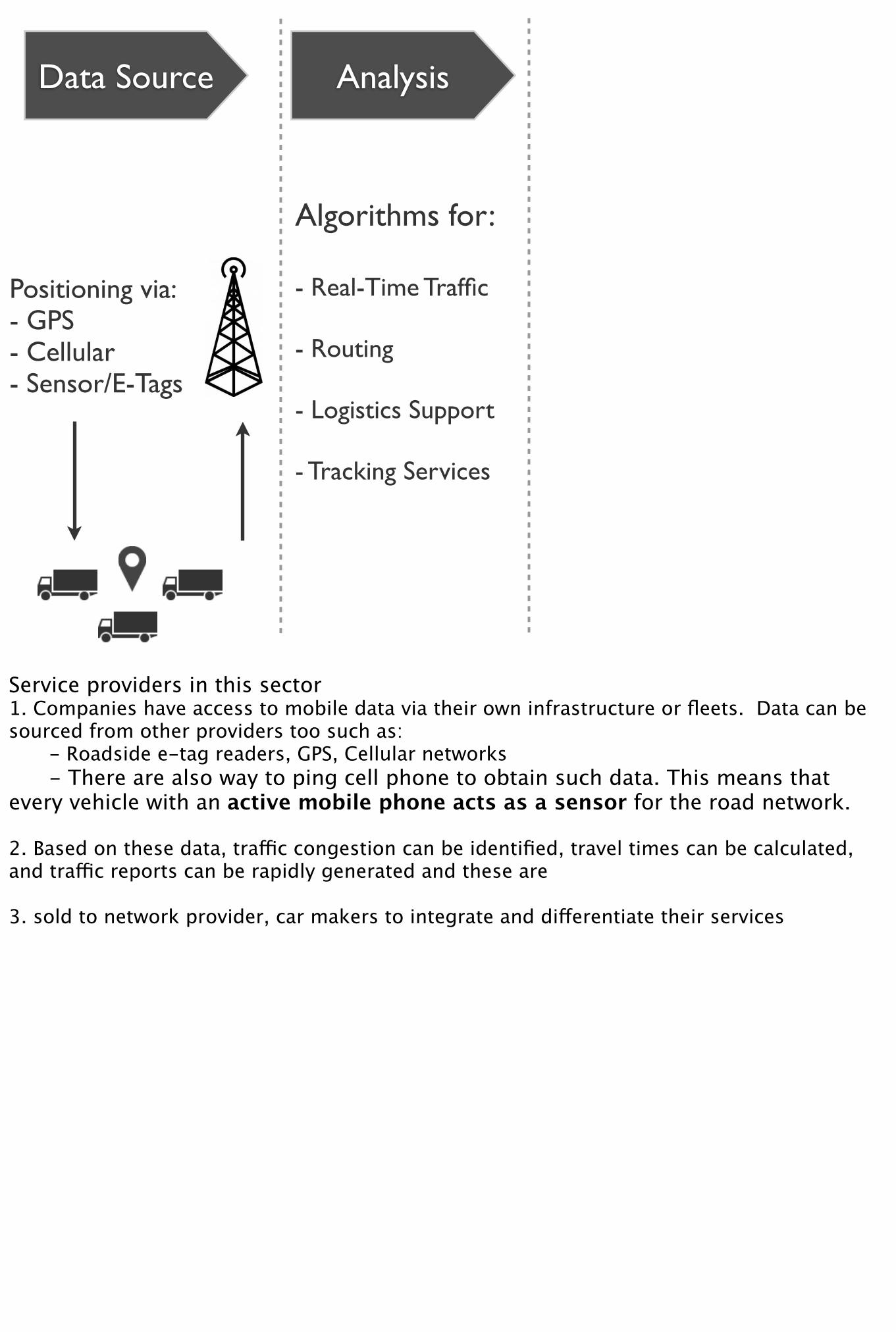
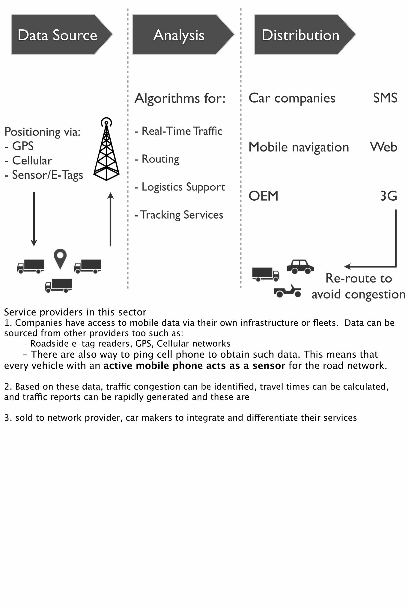
Floating Vehicle Data
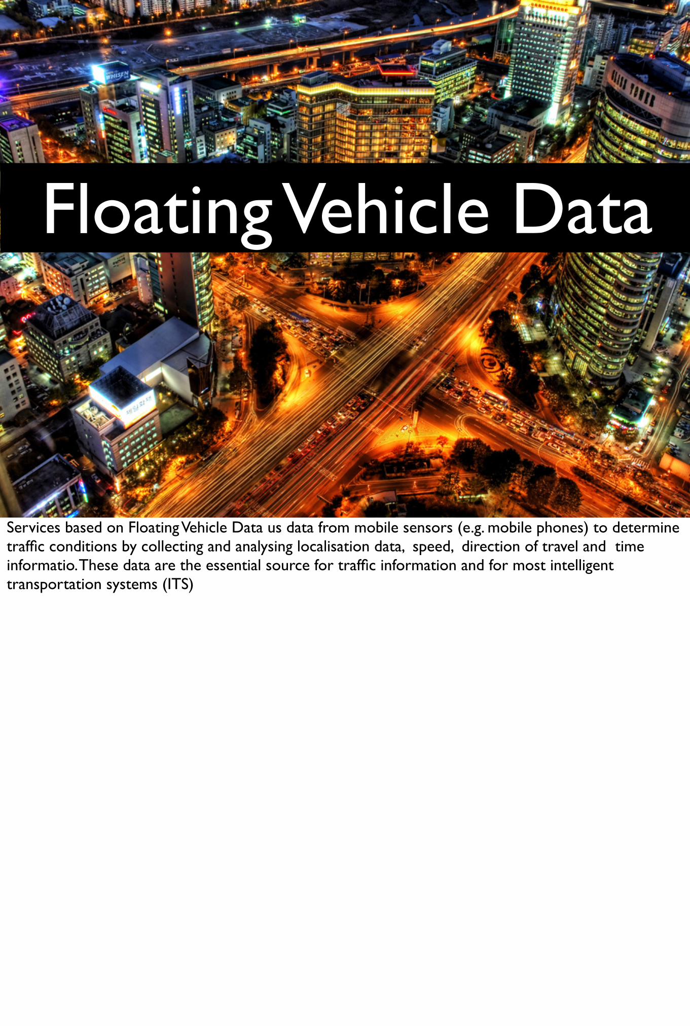
Services based on Floating Vehicle Data us data from mobile sensors (e.g. mobile phones) to determine traffic conditions by collecting and analysing localisation data, speed, direction of travel and time informatio. These data are the essential source for traffic information and for most intelligent transportation systems (ITS)
Data Source Analysis Distribution
Algorithms for:
- Real-Time Traffic
- Routing
- Logistics Support
- Tracking Services
SMS
Web
3G
Car companies
Mobile navigation
OEM
Re-route to avoid congestion
Positioning via:- GPS- Cellular- Sensor/E-Tags
Service providers in this sector1. Companies have access to mobile data via their own infrastructure or fleets. Data can be sourced from other providers too such as: - Roadside e-tag readers, GPS, Cellular networks - There are also way to ping cell phone to obtain such data. This means that every vehicle with an active mobile phone acts as a sensor for the road network.
2. Based on these data, traffic congestion can be identified, travel times can be calculated, and traffic reports can be rapidly generated and these are
3. sold to network provider, car makers to integrate and differentiate their services
Telematics Sub-Sectors
• In-car Infotainment
• Intelligent Vehicle Safety
• Commercial Vehicle Telematics
• Risk Management
Next I’ll go over the sub-sectors in the Telematics industry discussing the changes that are happening and what opportunities for innovation exist.
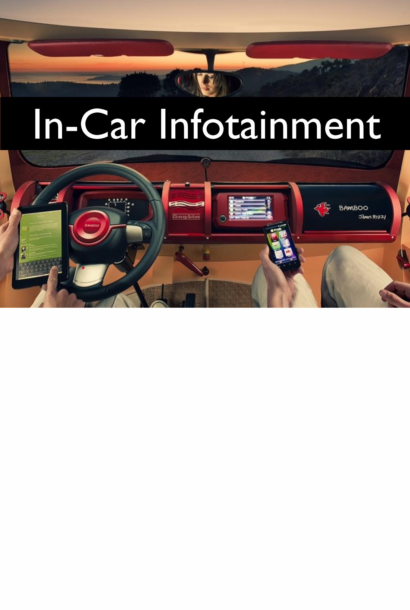
In-Car Infotainment

In-Car Infotainment
In-Car InfotainmentDefinition: Applications that deliver and transmit digital content to drivers and passengers in the form of communications, TV, radio, internet, LBS, navigation and entertainment.
Example of the Bamboo Car
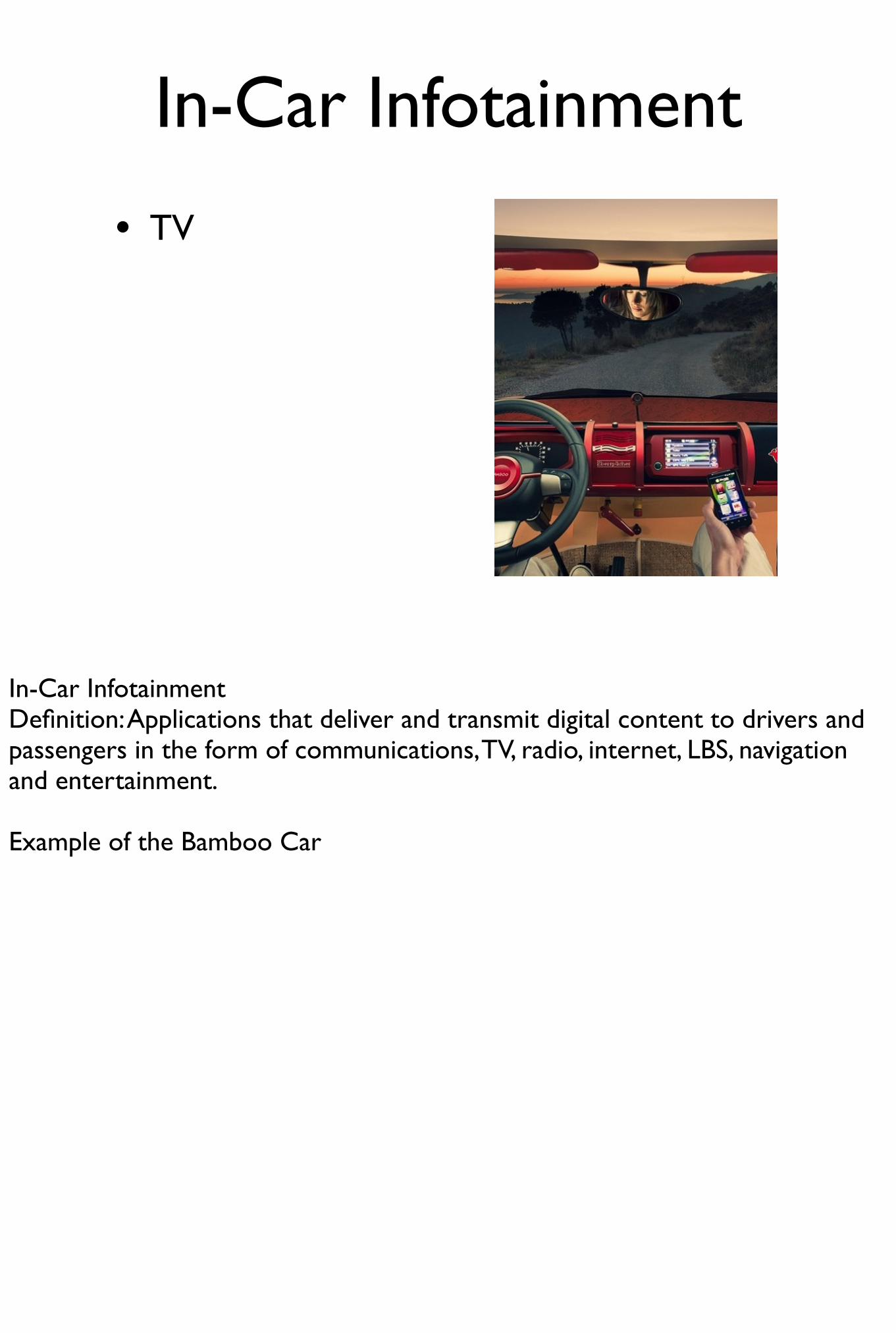
In-Car Infotainment
• TV
In-Car InfotainmentDefinition: Applications that deliver and transmit digital content to drivers and passengers in the form of communications, TV, radio, internet, LBS, navigation and entertainment.
Example of the Bamboo Car
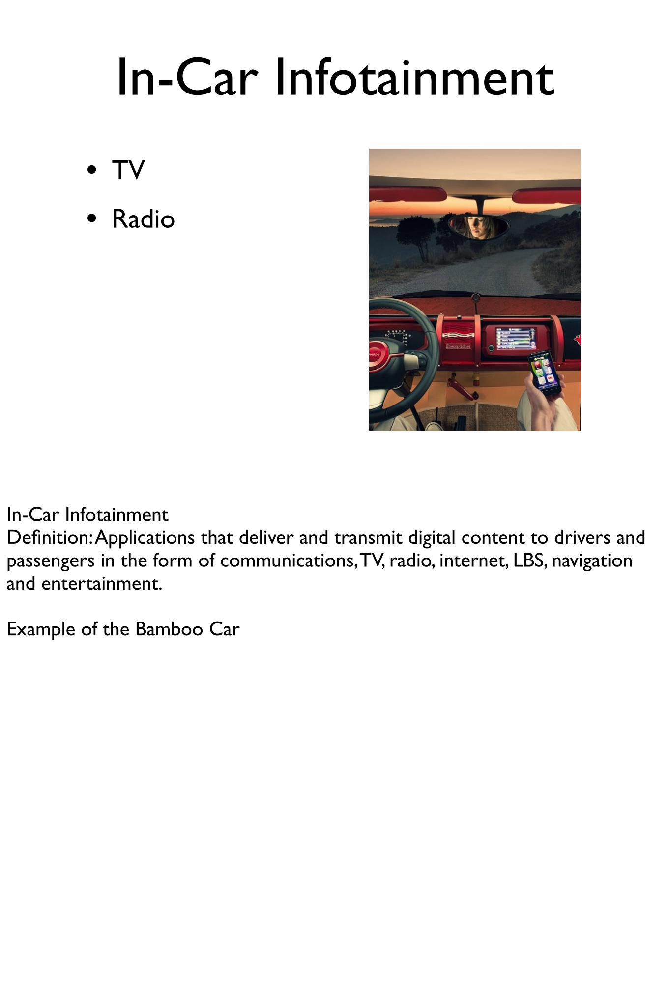
In-Car Infotainment
• TV
• Radio
In-Car InfotainmentDefinition: Applications that deliver and transmit digital content to drivers and passengers in the form of communications, TV, radio, internet, LBS, navigation and entertainment.
Example of the Bamboo Car

In-Car Infotainment
• TV
• Radio
• Internet
In-Car InfotainmentDefinition: Applications that deliver and transmit digital content to drivers and passengers in the form of communications, TV, radio, internet, LBS, navigation and entertainment.
Example of the Bamboo Car
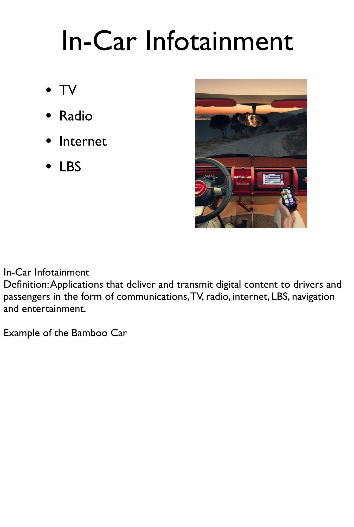
In-Car Infotainment
• TV
• Radio
• Internet
• LBS
In-Car InfotainmentDefinition: Applications that deliver and transmit digital content to drivers and passengers in the form of communications, TV, radio, internet, LBS, navigation and entertainment.
Example of the Bamboo Car
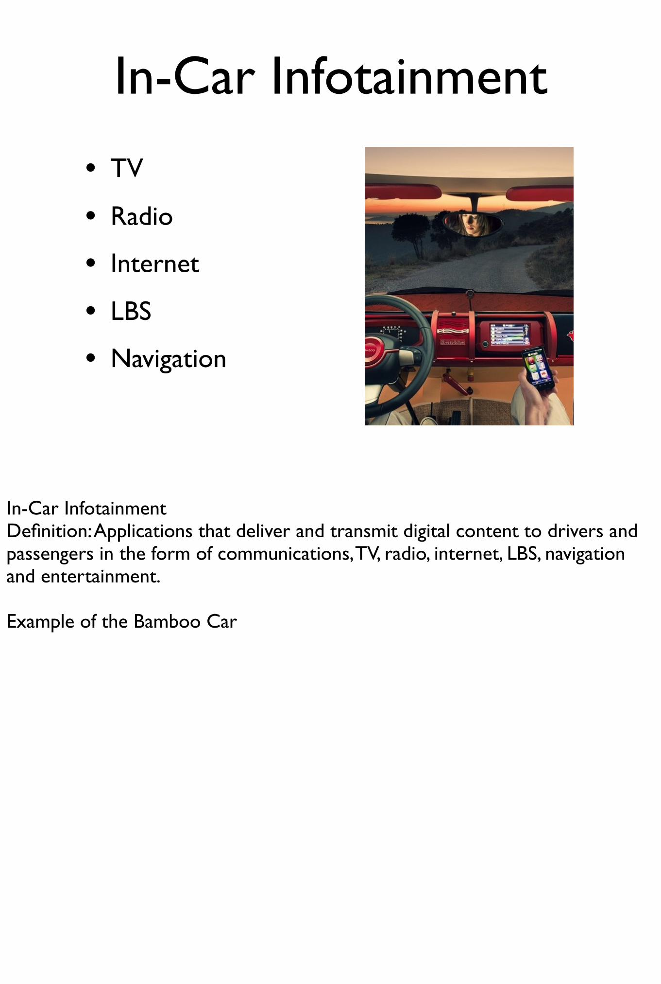
In-Car Infotainment
• TV
• Radio
• Internet
• LBS
• Navigation
In-Car InfotainmentDefinition: Applications that deliver and transmit digital content to drivers and passengers in the form of communications, TV, radio, internet, LBS, navigation and entertainment.
Example of the Bamboo Car
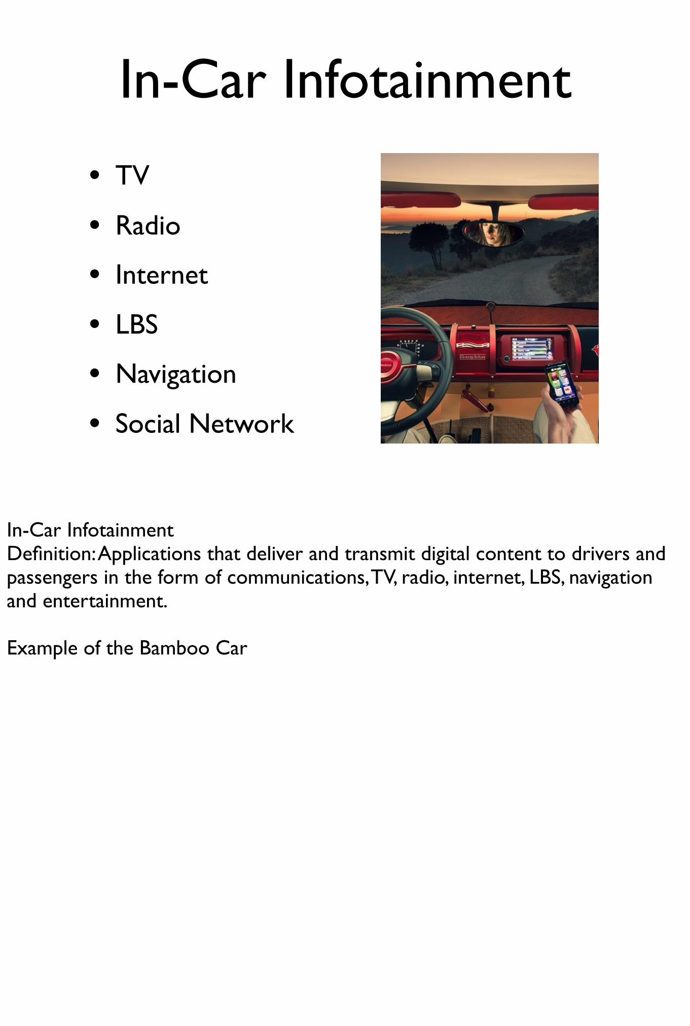
In-Car Infotainment
• TV
• Radio
• Internet
• LBS
• Navigation
• Social Network
In-Car InfotainmentDefinition: Applications that deliver and transmit digital content to drivers and passengers in the form of communications, TV, radio, internet, LBS, navigation and entertainment.
Example of the Bamboo Car

The Connected Car
• BMW connected drive
• Mini connected
• Ford’s Sync API for developers
BMW ConnectedDrive: BMW Assist, BMW Online, BMW Tracking, BMW TeleServices and in-vehicle internet access.
These offer location-based services using GPS technology and the SIM card integrated in the car telephone. Back office servers can know the vehicle's current location and can provide relevant information along a route.
Services such as weather at your destination, finding a nearby parking space, news items and stock market updates. Location based emergency services such as closes open doctor.
Expected Trend
Due to the lack of a single device specially geared towards driving where safety is paramount and use of devices is influenced by law the expected trend is the convergence towards single units which can have multiple connectivity options and gracefully handle safely concerns.
Expected Trend
• Single device e.g. Android, iOS
Due to the lack of a single device specially geared towards driving where safety is paramount and use of devices is influenced by law the expected trend is the convergence towards single units which can have multiple connectivity options and gracefully handle safely concerns.
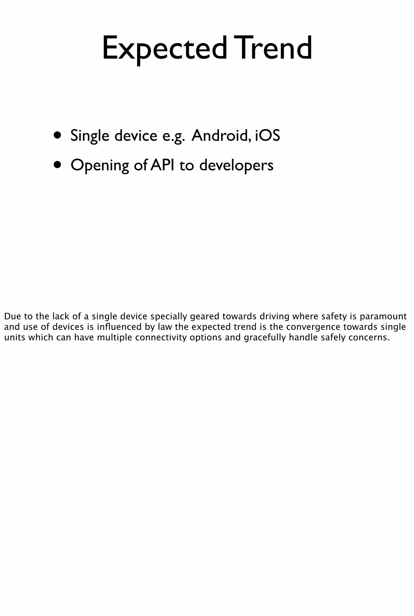
Expected Trend
• Single device e.g. Android, iOS
• Opening of API to developers
Due to the lack of a single device specially geared towards driving where safety is paramount and use of devices is influenced by law the expected trend is the convergence towards single units which can have multiple connectivity options and gracefully handle safely concerns.
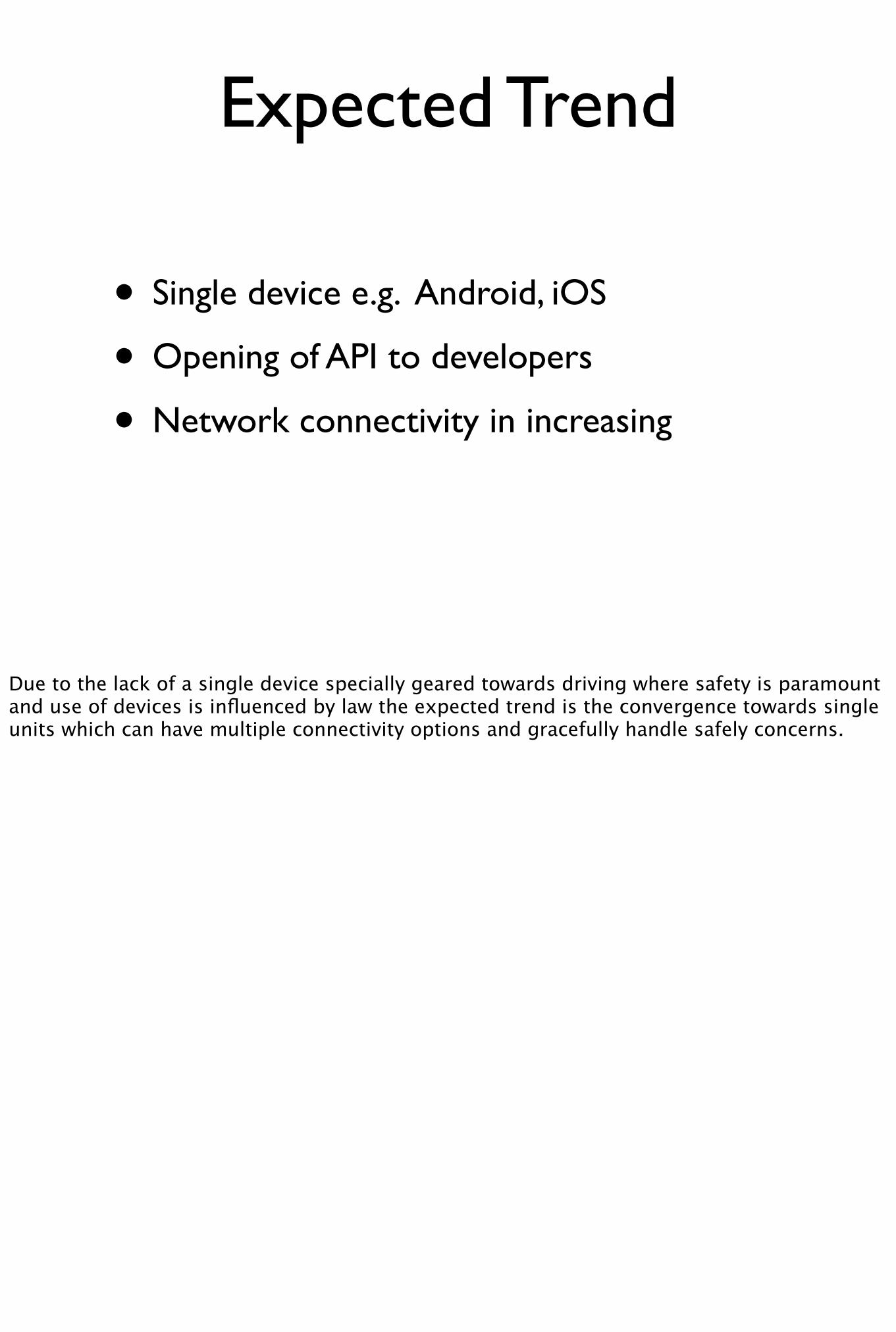
Expected Trend
• Single device e.g. Android, iOS
• Opening of API to developers
• Network connectivity in increasing
Due to the lack of a single device specially geared towards driving where safety is paramount and use of devices is influenced by law the expected trend is the convergence towards single units which can have multiple connectivity options and gracefully handle safely concerns.
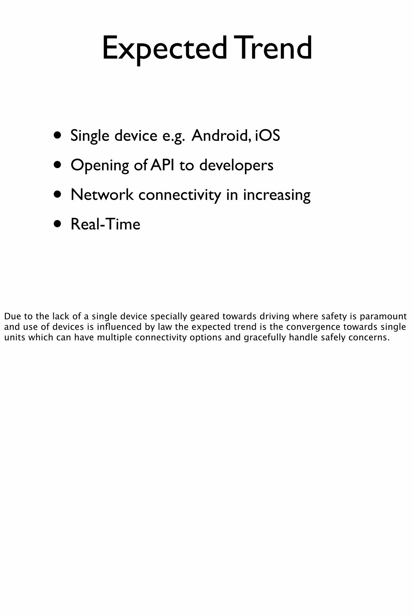
Expected Trend
• Single device e.g. Android, iOS
• Opening of API to developers
• Network connectivity in increasing
• Real-Time
Due to the lack of a single device specially geared towards driving where safety is paramount and use of devices is influenced by law the expected trend is the convergence towards single units which can have multiple connectivity options and gracefully handle safely concerns.

Expected Trend ...

Expected Trend ...
• 3G & 4G coverage on rise

Expected Trend ...
• 3G & 4G coverage on rise
• Integration with home/back-office systems
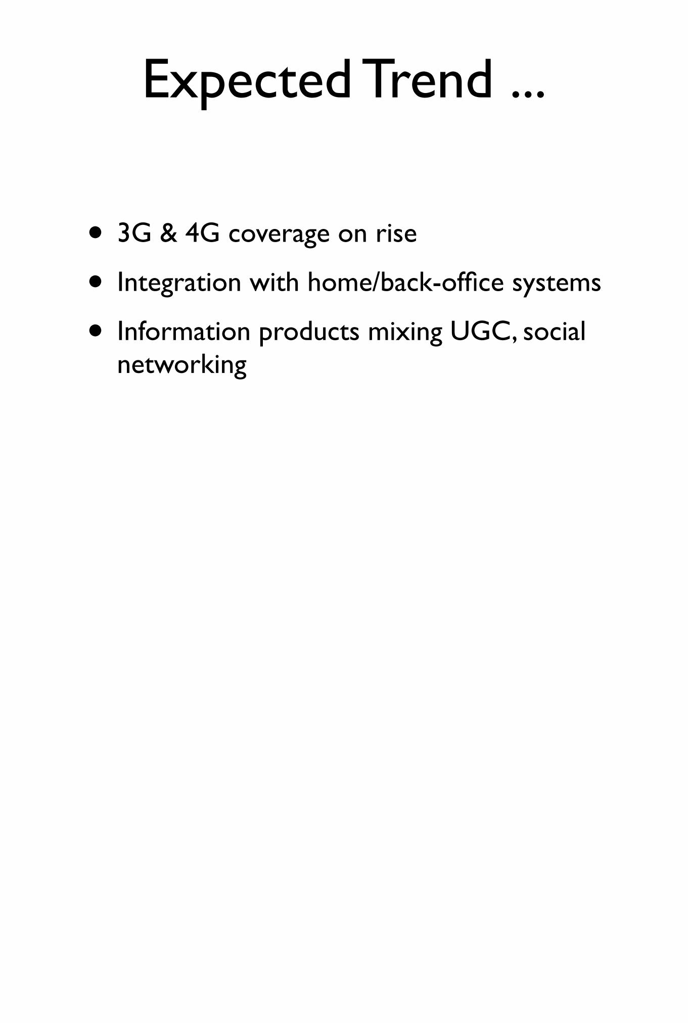
Expected Trend ...
• 3G & 4G coverage on rise
• Integration with home/back-office systems
• Information products mixing UGC, social networking
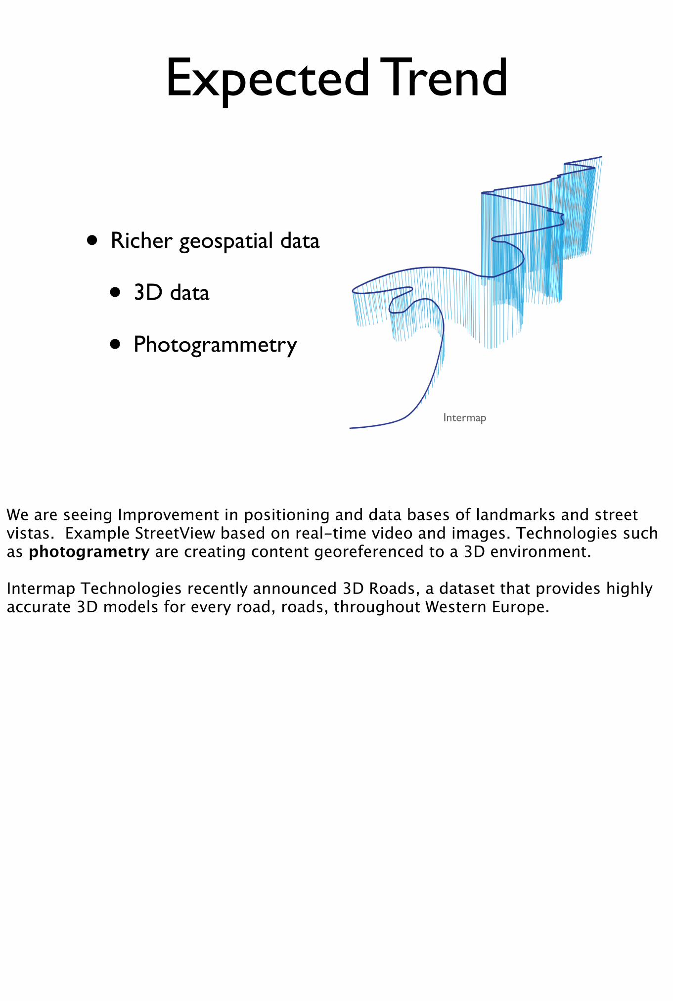
Expected Trend
• Richer geospatial data
• 3D data
• Photogrammetry
Intermap
We are seeing Improvement in positioning and data bases of landmarks and street vistas. Example StreetView based on real-time video and images. Technologies such as photogrametry are creating content georeferenced to a 3D environment.
Intermap Technologies recently announced 3D Roads, a dataset that provides highly accurate 3D models for every road, roads, throughout Western Europe.
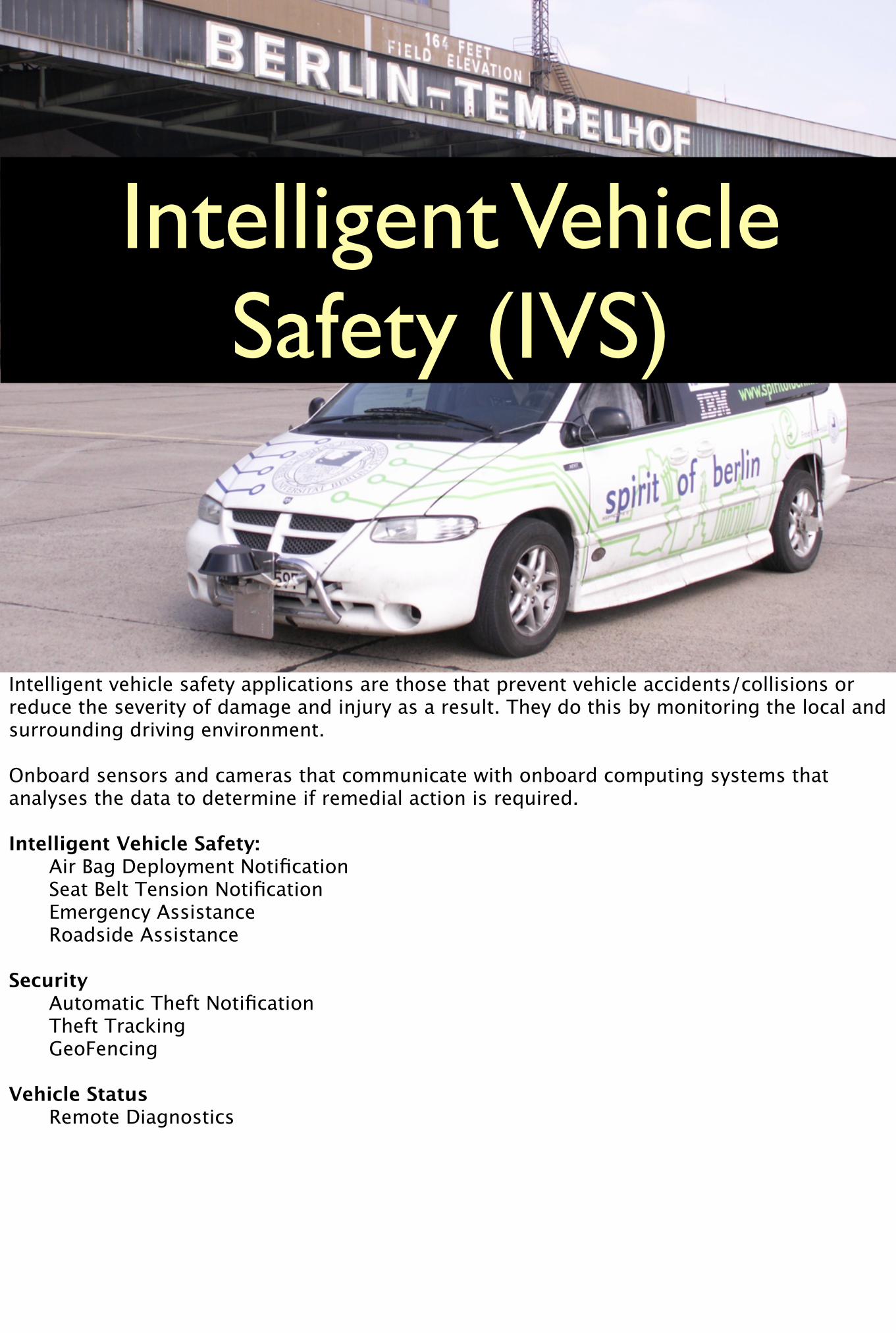
Intelligent Vehicle Safety (IVS)
Intelligent vehicle safety applications are those that prevent vehicle accidents/collisions or reduce the severity of damage and injury as a result. They do this by monitoring the local and surrounding driving environment.
Onboard sensors and cameras that communicate with onboard computing systems that analyses the data to determine if remedial action is required.
Intelligent Vehicle Safety: Air Bag Deployment Notification Seat Belt Tension Notification Emergency Assistance Roadside Assistance
Security Automatic Theft Notification Theft Tracking GeoFencing
Vehicle Status Remote Diagnostics
Expected Trend
• Automatic emergency notification
• Reporting accident location
• E112 location integration
IVS systems can detect if the driver is alert, if the vehicles wanders out of its lane for no apparent reason, if the vehicle gets too close to the vehicle in front or if a collision is imminent.
* SOS and automatic ambulance and emergency notification and intgrat* reporting crash* E112 integration of position* Applications that monitor driver behaviour
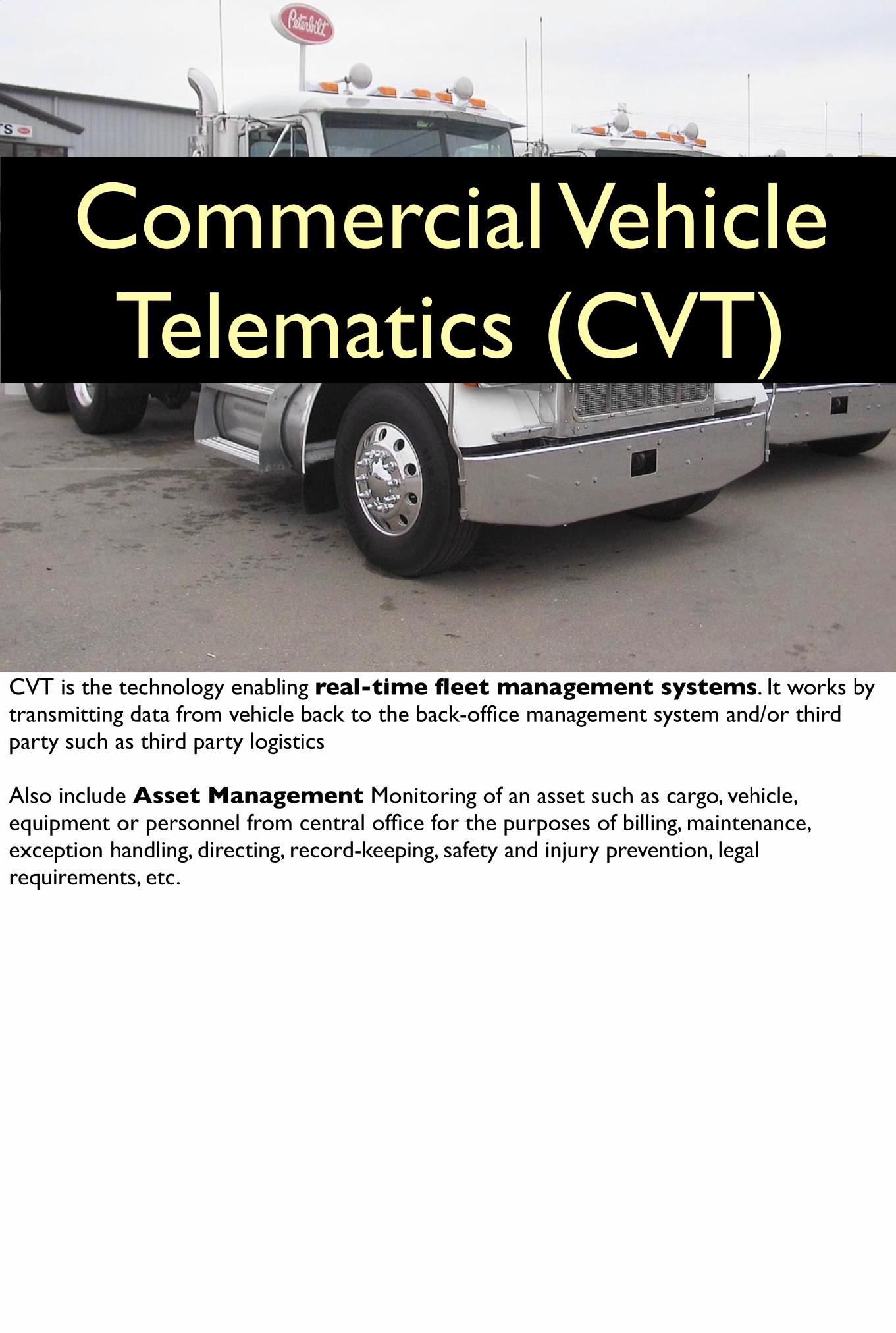
Commercial Vehicle Telematics (CVT)
CVT is the technology enabling real-time fleet management systems. It works by transmitting data from vehicle back to the back-office management system and/or third party such as third party logistics
Also include Asset Management Monitoring of an asset such as cargo, vehicle, equipment or personnel from central office for the purposes of billing, maintenance, exception handling, directing, record-keeping, safety and injury prevention, legal requirements, etc.
Expected Trend
Expected to see integration of multiple sensors for greater data coverage for applications such as cargo theft monitoring. Label of "Smart containers"
•improvement to increase in-transit visibility and protection of physical and intellectual assets across multi-modal transportation and supply chains•solutions that combine next-gen container construction, temp monitoring, tracking, and communication capabilities to render containers truly ‘smart’•monitor smart containers. Assess the readiness of satellite, cellular, ad-hoc mesh communications , GPS, environmental sensors and active RFID
Examples of integrated navigations systems such as Siemens VDO System allow GPS routing to take real-time traffic and environmental conditions into account when routing. This is leading to savings by reducing time spent stuck in traffic.
Many efficient transport and distribution operations these days are totally dependent on reliable IT systems (for example, ‘just-in-time’ stocking principles hinge on rapid and efficient communications) for communication with customers, suppliers and contractors.
Electronic Data Interchange (EDI): Within IT systems, one of the fastest-growing areas is that of Electronic Data Interchange (EDI), whereby transport and distributor firms receive orders, delivery documentation and invoices direct from their customers’ computers into their own (compatible) systems via direct communications links, completely eliminating the delays, errors and other difficulties associated with the creating and movement of paper documents via postal and courier systems. EDI systems provide the benefits of rapid and accurate order passing and processing (at less direct cost) and with the potential for reducing stock levels.
United Nations has set a standard for EDI known as EDIFACT (an acronym for **Electronic Data Interchange for Administration, Commerce and Transport**), under which there are standard procedures and messages for passing such matter as shipping instructions. This is to ensure uniformity in this method of trading.
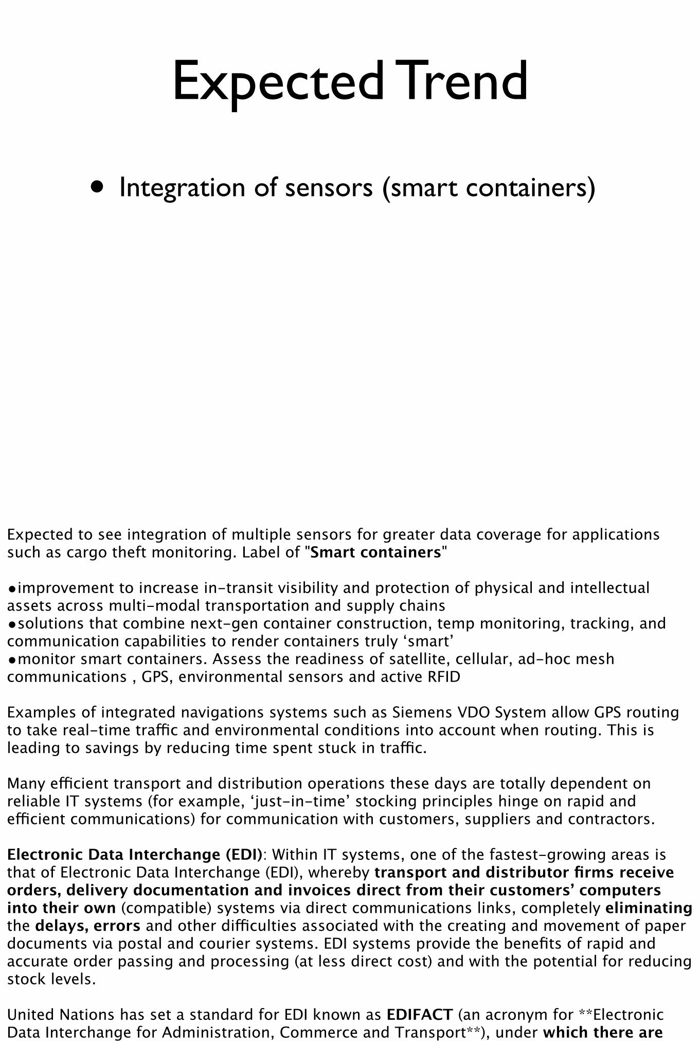
Expected Trend
• Integration of sensors (smart containers)
Expected to see integration of multiple sensors for greater data coverage for applications such as cargo theft monitoring. Label of "Smart containers"
•improvement to increase in-transit visibility and protection of physical and intellectual assets across multi-modal transportation and supply chains•solutions that combine next-gen container construction, temp monitoring, tracking, and communication capabilities to render containers truly ‘smart’•monitor smart containers. Assess the readiness of satellite, cellular, ad-hoc mesh communications , GPS, environmental sensors and active RFID
Examples of integrated navigations systems such as Siemens VDO System allow GPS routing to take real-time traffic and environmental conditions into account when routing. This is leading to savings by reducing time spent stuck in traffic.
Many efficient transport and distribution operations these days are totally dependent on reliable IT systems (for example, ‘just-in-time’ stocking principles hinge on rapid and efficient communications) for communication with customers, suppliers and contractors.
Electronic Data Interchange (EDI): Within IT systems, one of the fastest-growing areas is that of Electronic Data Interchange (EDI), whereby transport and distributor firms receive orders, delivery documentation and invoices direct from their customers’ computers into their own (compatible) systems via direct communications links, completely eliminating the delays, errors and other difficulties associated with the creating and movement of paper documents via postal and courier systems. EDI systems provide the benefits of rapid and accurate order passing and processing (at less direct cost) and with the potential for reducing stock levels.
United Nations has set a standard for EDI known as EDIFACT (an acronym for **Electronic Data Interchange for Administration, Commerce and Transport**), under which there are standard procedures and messages for passing such matter as shipping instructions. This is to ensure uniformity in this method of trading.
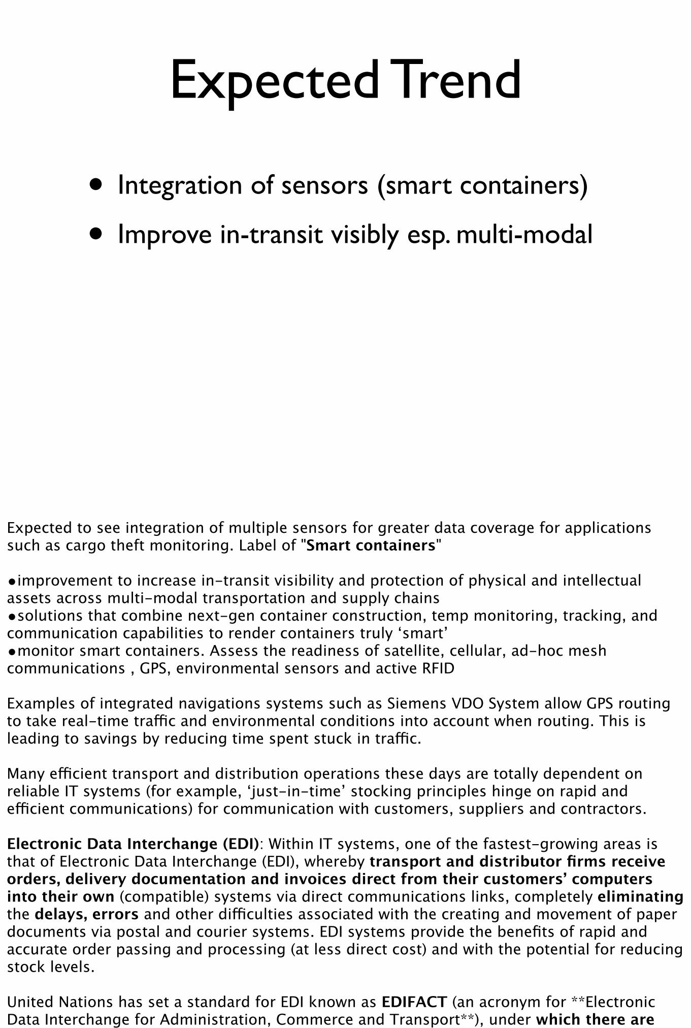
Expected Trend
• Integration of sensors (smart containers)
• Improve in-transit visibly esp. multi-modal
• Solutions for high value cargo (environmental sensors, RFIDs)
Expected to see integration of multiple sensors for greater data coverage for applications such as cargo theft monitoring. Label of "Smart containers"
•improvement to increase in-transit visibility and protection of physical and intellectual assets across multi-modal transportation and supply chains•solutions that combine next-gen container construction, temp monitoring, tracking, and communication capabilities to render containers truly ‘smart’•monitor smart containers. Assess the readiness of satellite, cellular, ad-hoc mesh communications , GPS, environmental sensors and active RFID
Examples of integrated navigations systems such as Siemens VDO System allow GPS routing to take real-time traffic and environmental conditions into account when routing. This is leading to savings by reducing time spent stuck in traffic.
Many efficient transport and distribution operations these days are totally dependent on reliable IT systems (for example, ‘just-in-time’ stocking principles hinge on rapid and efficient communications) for communication with customers, suppliers and contractors.
Electronic Data Interchange (EDI): Within IT systems, one of the fastest-growing areas is that of Electronic Data Interchange (EDI), whereby transport and distributor firms receive orders, delivery documentation and invoices direct from their customers’ computers into their own (compatible) systems via direct communications links, completely eliminating the delays, errors and other difficulties associated with the creating and movement of paper documents via postal and courier systems. EDI systems provide the benefits of rapid and accurate order passing and processing (at less direct cost) and with the potential for reducing stock levels.
United Nations has set a standard for EDI known as EDIFACT (an acronym for **Electronic Data Interchange for Administration, Commerce and Transport**), under which there are standard procedures and messages for passing such matter as shipping instructions. This is to ensure uniformity in this method of trading.
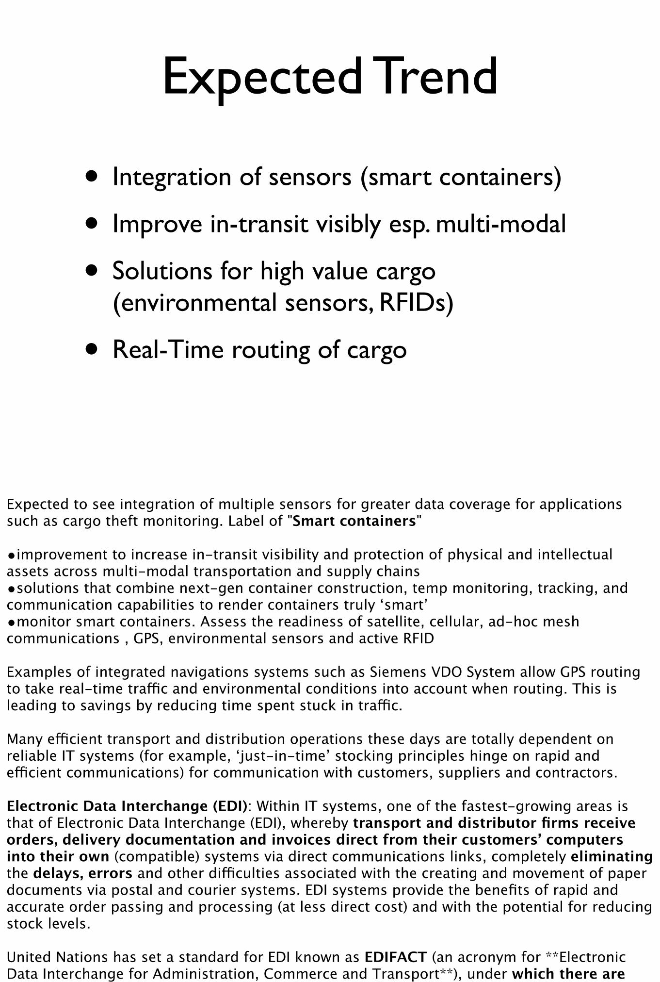
Expected Trend
• Integration of sensors (smart containers)
• Improve in-transit visibly esp. multi-modal
• Solutions for high value cargo (environmental sensors, RFIDs)
• Real-Time routing of cargo
Expected to see integration of multiple sensors for greater data coverage for applications such as cargo theft monitoring. Label of "Smart containers"
•improvement to increase in-transit visibility and protection of physical and intellectual assets across multi-modal transportation and supply chains•solutions that combine next-gen container construction, temp monitoring, tracking, and communication capabilities to render containers truly ‘smart’•monitor smart containers. Assess the readiness of satellite, cellular, ad-hoc mesh communications , GPS, environmental sensors and active RFID
Examples of integrated navigations systems such as Siemens VDO System allow GPS routing to take real-time traffic and environmental conditions into account when routing. This is leading to savings by reducing time spent stuck in traffic.
Many efficient transport and distribution operations these days are totally dependent on reliable IT systems (for example, ‘just-in-time’ stocking principles hinge on rapid and efficient communications) for communication with customers, suppliers and contractors.
Electronic Data Interchange (EDI): Within IT systems, one of the fastest-growing areas is that of Electronic Data Interchange (EDI), whereby transport and distributor firms receive orders, delivery documentation and invoices direct from their customers’ computers into their own (compatible) systems via direct communications links, completely eliminating the delays, errors and other difficulties associated with the creating and movement of paper documents via postal and courier systems. EDI systems provide the benefits of rapid and accurate order passing and processing (at less direct cost) and with the potential for reducing stock levels.
United Nations has set a standard for EDI known as EDIFACT (an acronym for **Electronic Data Interchange for Administration, Commerce and Transport**), under which there are standard procedures and messages for passing such matter as shipping instructions. This is to ensure uniformity in this method of trading.
Expected Trend
• Integration of sensors (smart containers)
• Improve in-transit visibly esp. multi-modal
• Solutions for high value cargo (environmental sensors, RFIDs)
• Real-Time routing of cargo
• Electronic Data Interchange
Expected to see integration of multiple sensors for greater data coverage for applications such as cargo theft monitoring. Label of "Smart containers"
•improvement to increase in-transit visibility and protection of physical and intellectual assets across multi-modal transportation and supply chains•solutions that combine next-gen container construction, temp monitoring, tracking, and communication capabilities to render containers truly ‘smart’•monitor smart containers. Assess the readiness of satellite, cellular, ad-hoc mesh communications , GPS, environmental sensors and active RFID
Examples of integrated navigations systems such as Siemens VDO System allow GPS routing to take real-time traffic and environmental conditions into account when routing. This is leading to savings by reducing time spent stuck in traffic.
Many efficient transport and distribution operations these days are totally dependent on reliable IT systems (for example, ‘just-in-time’ stocking principles hinge on rapid and efficient communications) for communication with customers, suppliers and contractors.
Electronic Data Interchange (EDI): Within IT systems, one of the fastest-growing areas is that of Electronic Data Interchange (EDI), whereby transport and distributor firms receive orders, delivery documentation and invoices direct from their customers’ computers into their own (compatible) systems via direct communications links, completely eliminating the delays, errors and other difficulties associated with the creating and movement of paper documents via postal and courier systems. EDI systems provide the benefits of rapid and accurate order passing and processing (at less direct cost) and with the potential for reducing stock levels.
United Nations has set a standard for EDI known as EDIFACT (an acronym for **Electronic Data Interchange for Administration, Commerce and Transport**), under which there are standard procedures and messages for passing such matter as shipping instructions. This is to ensure uniformity in this method of trading.
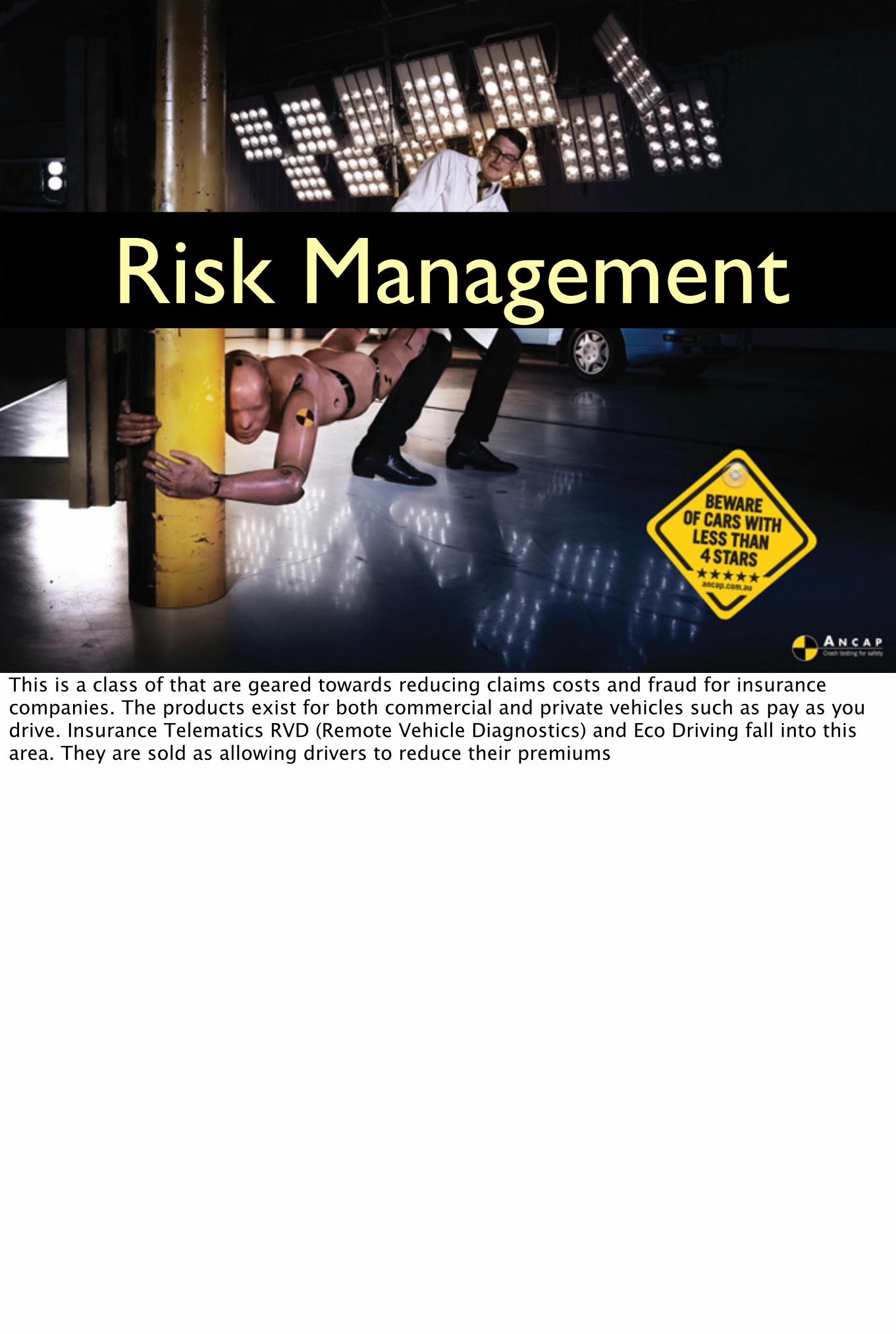
Risk Management
This is a class of that are geared towards reducing claims costs and fraud for insurance companies. The products exist for both commercial and private vehicles such as pay as you drive. Insurance Telematics RVD (Remote Vehicle Diagnostics) and Eco Driving fall into this area. They are sold as allowing drivers to reduce their premiums

Expected Trend
• Usage based insurance
• Pay as you drive (PAYD)
• Real-Time driver data
The product is packaged as an insurance with a black-box telematics unit or a telematics unit with an insurance product.
* Usage Based Insurance* Pay As You Drive: type of automobile insurance whereby the costs of motor insurance are dependent upon type of vehicle used, measured against Time, Distance and Place. It is sold as a product that can reduce the premiums for safe drivers.

Overall Future Trends
Some over all trends affecting the industry
Enabling Technologies
• Next Generation Telematics Pattern (NGTP) Standardisation
• 4G mobile broad band network
• Open API for telematics sensors
Next Generation Telematics Pattern aims to open up the telematics industry allowing greater integration across applications. The NGTP tries to create a technology neutral interface and protocol for telematics services. The aim is to make it easy to integrate telematics services across the whole value chain involving: vehicle manufacturers, telematics service providers and content providers and drivers
“The new pattern will also allow service providers and content providers to sell the same basic services like session management or a voice/data matching to multiple vehicle manufacturers. Moreover, the NGTP architecture enables an easy integration of legacy systems, allowing older and newer vehicles alike to access new telematics offerings.” NGTP website
Thank you
checkout our workshop too
http://georuby.com
Dr Kashif Rasul [email protected] t: krasul
Shoaib Burq [email protected] t: sabman