PLANNING FOR BUSHFIRE PRONE AREAS
4
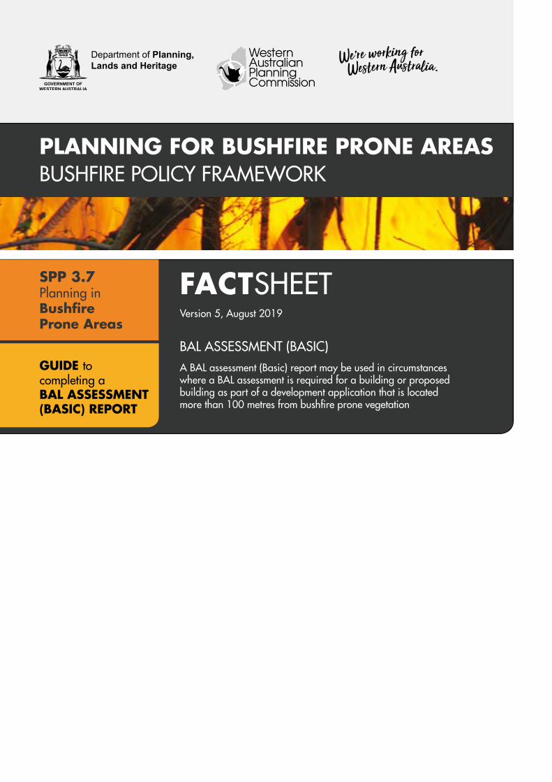
Department of Planning, Lands and Heritage PLANNING FOR BUSHFIRE PRONE AREAS BUSHFIRE POLICY FRAMEWORK FACT SHEET Version 5, August 2019 BAL ASSESSMENT (BASIC) A BAL assessment (Basic) report may be used in circumstances where a BAL assessment is required for a building or proposed building as part of a development application that is located more than 100 metres from bushfire prone vegetation SPP 3.7 Planning in Bushfire Prone Areas GUIDE to completing a BAL ASSESSMENT (BASIC) REPORT
Transcript of PLANNING FOR BUSHFIRE PRONE AREAS
Department of Planning, Lands and Heritage
PLANNING FOR BUSHFIRE PRONE AREASBUSHFIRE POLICY FRAMEWORK
FACTSHEETVersion 5, August 2019
BAL ASSESSMENT (BASIC)A BAL assessment (Basic) report may be used in circumstances where a BAL assessment is required for a building or proposed building as part of a development application that is located more than 100 metres from bushfire prone vegetation
SPP 3.7Planning in Bushfire Prone Areas
GUIDE to completing a BAL ASSESSMENT (BASIC) REPORT

WHAT IS A BAL ASSESSMENT (BASIC) A Bushfire Attack Level (BAL) assessment (basic) is a simplified process for determining the BAL for a building, or proposed building, that has a low risk of bushfire exposure because it is located more than 100 metres from bushfire prone vegetation.
A BAL assessment (basic) report determines the BAL rating in accordance with the Simplified Procedure (Method 1) of Australian Standard 3959 Construction of Buildings in Bushfire-Prone Areas (AS 3959, including Amendments No. 1, 2 and 3).
If you are a landowner/proponent, developer or builder lodging a development application and you are proposing to develop on a site in a designated bushfire prone area, you may use a BAL assessment (basic) report if: � your site and the surrounding area has been cleared since the latest release of the Map of Bush Fire Prone Areas was published, resulting in there being more than 100 metres between any bushfire prone vegetation and the location of the building, or proposed building; or
� The site is designated bushfire prone, but the subject land is large enough to locate the building, or proposed building, in an area that it is more than 100 metres from any bushfire prone vegetation.
BAL ASSESSMENT (BASIC) PROCESS The BAL assessment (basic) process contains two steps that satisfy the requirement for determining a BAL using the Simplified Procedure (Method 1) set out in clause 2.2 of AS 3959.
Complete a BAL assessment (basic) report using the information provided at each step of the following process.
STEP 1: DETERMINE IF THE DISTANCE BETWEEN THE BUILDING, OR PROPOSED BUILDING, AND THE BUSHFIRE PRONE VEGETATION IS MORE THAN 100 METRES
Step 1 is a determination of the horizontal distance(s) between the building, or proposed building, and any bushfire prone vegetation in the vicinity. These measurements are required to ensure that distance between the building, or proposed building, and any bushfire prone vegetation is more than 100 metres.
Bushfire prone vegetation includes most types of vegetation including trees, shrubs and unmanaged grasses (including sown pastures and crops). However, bushfire prone vegetation does not include.
� low threat vegetation (i.e. grassland managed in a minimal fuel condition, maintained/mowed lawns, golf courses, public recreation reserves and parklands, vineyards, orchards, cultivated gardens, commercial nurseries, nature strips and windbreaks); and
� non-vegetated areas (i.e. waterways, roads, footpaths, buildings or rock outcrops)
The measurement is the horizontal distance (i.e. measured in plan) that is taken (see Figure 1).
� from where the external walls of your building are ,or proposed building will be, to the base of the bushfire prone vegetation (not the canopy); or
� for a part of the building that has no wall (e.g. carport, verandah, deck, landing, ramp) from the supporting posts/columns to the base of the bushfire prone vegetation.
A measurement is required between the building, or proposed building, and all areas of bushfire prone vegetation in the vicinity of the site. This means that for some sites with multiple areas of bushfire prone vegetation nearby, multiple distances will need to be measured and recorded for the consideration of the decision maker or building surveyor. When there are multiple areas of bushfire prone vegetation within the vicinity of the site, the shortest measurement recorded will be the one nominated on the BAL assessment (basic) report.
For example, if the measurement to the first area of bushfire prone vegetation is 115 metres and the measurement to the second area of bushfire prone vegetation is 120 metres, then 115 metres will be the measurement nominated on the BAL assessment (basic) report.
Online mapping tools (such as Google Maps) can be used to assist in determining what the horizontal distance is between the bushfire prone vegetation and the building, or proposed building.
Supporting information (such as site plans, photos, aerial photography and other design documents and specifications) must also accompany your BAL assessment (basic) report as evidence that your building, or proposed building, is more than 100 metres from any bushfire prone vegetation.
2FACTSHEETBAL assessment (BASIC)

If the distance is 100 metres or less between any bushfire prone vegetation and the building, or proposed building, then you should not undertake a BAL assessment (basic). If this applies to you, you should cease this process and engage an appropriately qualified and experienced person (such as an accredited Level 1 BAL Assessor or Level 2 or Level 3 Bushfire Planning Practitioner) to undertake a BAL assessment.
Step 1. Measure the distance(s) between the building, or proposed building, and all areas of bushfire prone vegetation.
Insert the lowest distance (in metres) in the corresponding box on the BAL assessment (basic) report
STEP 2: DETERMINE THE BUSHFIRE ATTACK LEVEL (BAL)
Clause 2.2.3.2 of AS 3959 provides that the bushfire attack level is classified BAL-LOW where the distance between the building, or proposed building, and any bushfire prone vegetation is more than 100 metres when measured in the horizontal plane.
If the distance stated in Step 1 is more than 100 metres, then the BAL in accordance with AS 3959 is BAL-LOW.
Under AS 3959, a BAL-LOW classification means that there are no additional bushfire resistant construction requirements that apply to the building, or proposed building.
Step 2. If the distance nominated at Step 1 is more than 100 metres, insert LOW in the corresponding box on the BAL assessment (basic) report
Horizontaldistance
Figure 1: Measurement of distance between a house and the bush fire prone vegetation
3FACTSHEETBAL assessment (BASIC)

You can find a copy of the BAL assessment (basic) report here.
You can find further information about when a BAL assessment is required by visiting the Department of Planning, Lands and Heritage’s website.
You can also find information on building in bushfire prone areas by visiting the Department of Mines, Industry Regulation and Safety (Building and Energy Division)’s website or by contacting your local government or building surveyor.
FURTHER INFORMATIONYou should complete the BAL assessment (basic) report using the information found at each step of this process. You should submit your BAL assessment (basic) report as part of your application for development approval and/or to demonstrate compliance with the Building Code of Australia requirements under the building approval system.
Supporting information (such as site plans, photos, aerial photography and other design documents as required by the decision maker and/or registered building surveyor) must accompany the BAL assessment (basic) report as evidence that your building, or proposed building, is more than 100 metres from bushfire prone vegetation.
Where the decision-maker and/or registered building surveyor is satisfied your building, or proposed building, is more than 100 metres from bushfire prone vegetation, they may accept your BAL assessment (basic) report.
However, if the decision-maker and/or registered building surveyor is not satisfied with the accuracy of your BAL assessment (basic) (e.g. they believe that the distance between your building, or proposed building, and the bushfire prone vegetation is 100m or less) then you may be required to engage an appropriately qualified and experienced person (such as an accredited Level 1 BAL Assessor or Level 2 or Level 3 Bushfire Planning Practitioner) to undertake a BAL assessment.
4FACTSHEETBAL assessment (BASIC)
© Western Australian Planning Commission
Published by theWestern Australian Planning CommissionGordon Stephenson House140 William StreetPerth WA 6000
Locked Bag 2506Perth WA 6001
Published August 2019
website: www.dplh.wa.gov.auemail: [email protected]
tel: 08 6551 8002 fax: 08 6551 9001National Relay Service: 13 36 77
This document is available in alternative formats on application to Communication Services.
DisclaimerThis document has been published by the Department of Planning on behalf of the Western Australian Planning Commission. Any representation, statement, opinion or advice expressed or implied in this publication is made in good faith and on the basis that the Government, its employees and agents are not liable for any damage or loss whatsoever which may occur as a result of action taken or not taken, as the case may be, in respect of any representation, statement, opinion or advice referred to herein. Professional advice should be obtained before applying the information contained in this document to particular circumstances.