Marine Protected Areas, Ecosystem-based Adaptation: Building a Resilient Network of Partnerships
19
Marine Protected Areas, Ecosystem-based Adaptation: Building a Resilient Network of Partnerships Ruth Blyther Director, Eastern Caribbean Program Anne Marie Hoffman Coastal Conservation Project Manager, USVI Program The Nature Conservancy
-
Upload
aspen-ortega -
Category
Documents
-
view
19 -
download
0
description
Marine Protected Areas, Ecosystem-based Adaptation: Building a Resilient Network of Partnerships. Ruth Blyther Director, Eastern Caribbean Program Anne Marie Hoffman Coastal Conservation Project Manager, USVI Program The Nature Conservancy. Global analysis. People at Risk & Reefs at Risk. - PowerPoint PPT Presentation
Transcript of Marine Protected Areas, Ecosystem-based Adaptation: Building a Resilient Network of Partnerships

Marine Protected Areas, Ecosystem-based Adaptation: Building a Resilient Network
of Partnerships
Ruth BlytherDirector, Eastern Caribbean Program
Anne Marie HoffmanCoastal Conservation Project Manager, USVI Program
The Nature Conservancy

# of People Living Below 10m and in Reef Zone
LowMediumHighVery High
Reefs at Risk World Risk Index
Very LowLowMediumHighVery High
Global analysis
People at Risk & Reefs at Risk

What cost?

Caribbean Challenge InitiativeCaribbean Political and Business Leaders
404/19/23

Ecological Vulnerability
Socio-Economic Vulnerability
Total Vulnerability
Marjo Aho
Building an integrated view of climate and disaster risks
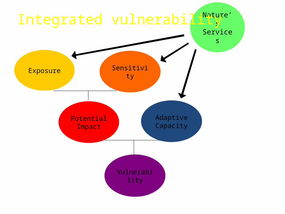
Exposure Sensitivity
Potential Impact
Adaptive Capacity
Vulnerability
Nature’s Services
Integrated vulnerability

Increase Adaptive capacity
Reduce Sensitivity


Social Sensitivity Index - Age - Access to radio/internet
Critical Infrastructure & Facilities Sensitivity Index - Fire stations - Roads - Emergency Shelters
Adaptive Capacity Index - Education - Health care - Income
Socio-Economically
Vulnerable Communities

MIKE 21 Flexible Mesh used for Storm Surge Modeling

Mangrove Vulnerability Framework1. Where could mangroves potentially move?2. Which mangroves are most/least vulnerable
to SLR?

LOWER
HIGHER
Mangrove Vulnerability Index= Migration index * 2 + Shape + Size + Openness + SLR Exposure + Habitat type + Species Richness + Watershed index

Facilitating an understanding of climate and disaster risk
Photos by J Castano

Developing integrated adaptation and disaster risk reduction plans
ACTION PLAN
+Science Participatory mapping
Community surveys

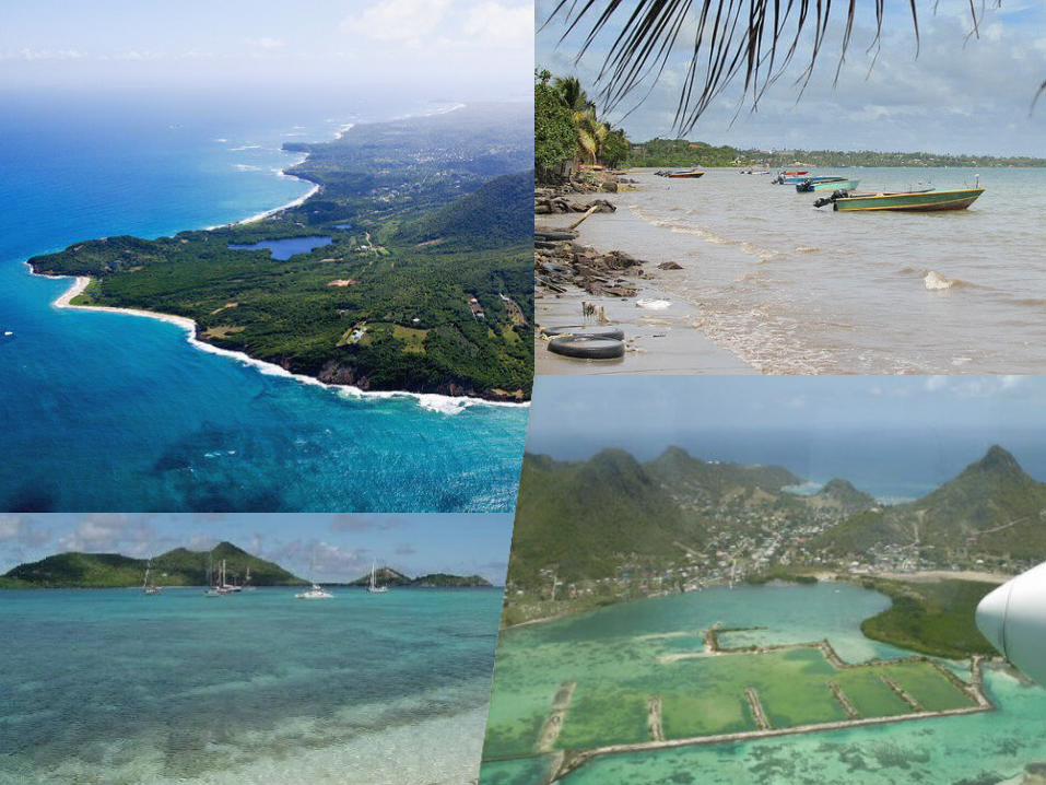
PILOT SITE WORKGrenville Area, Grenada
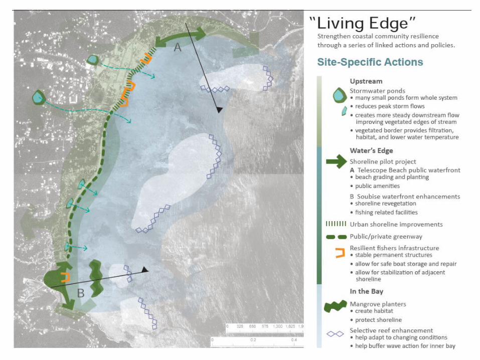

PILOT SITE WORKGrenville Area, Grenada
Opportunities•Ideal situation to study wave attenuation, reduce flooding impacts and inform reef engineering solutions•Opportunity to work on both reef and mangrove solutions•Some interest from large fishing community and community involvement on implementing action plans•Strong partner collaboration: GFC, Red Cross, fishers•Government is already working with us via Physical Planning and Fisheries who are doing excellent work•Opportunities for further funding from Caribbean Development Bank •Short term goals: Building on VCA and P3DM, mangrove planting at telescope•Long term goals: Mangrove island, fishers village/livelihood actions

All Connected in a Global Decision Support SystemWWW.CoastalResilience.Org