Hawaii Pacific GIS Conference 2012: Mercator Tribute - Mercator's iPad
Upload
hawaii-geographic-information-coordinating-councilCategory
view
226download
2
USING A MAP APPLICATION
TEMPLATE IN A GIS
ENTERPRISE ENVIRONMENT
Jon Hodge, GIS Analyst
City and County of Honolulu
John Higuchi, Project Manager
BEI Consulting

ArcIMS 3.1
Strategic GIS Plan
ArcGIS 9.2
Advance Map
ArcGIS 9.3.x
FAST Maps
ArcGIS 10
4 FAST Maps Advance Map
New Web Site
CCH Public GIS Website

SITE EVOLUTION
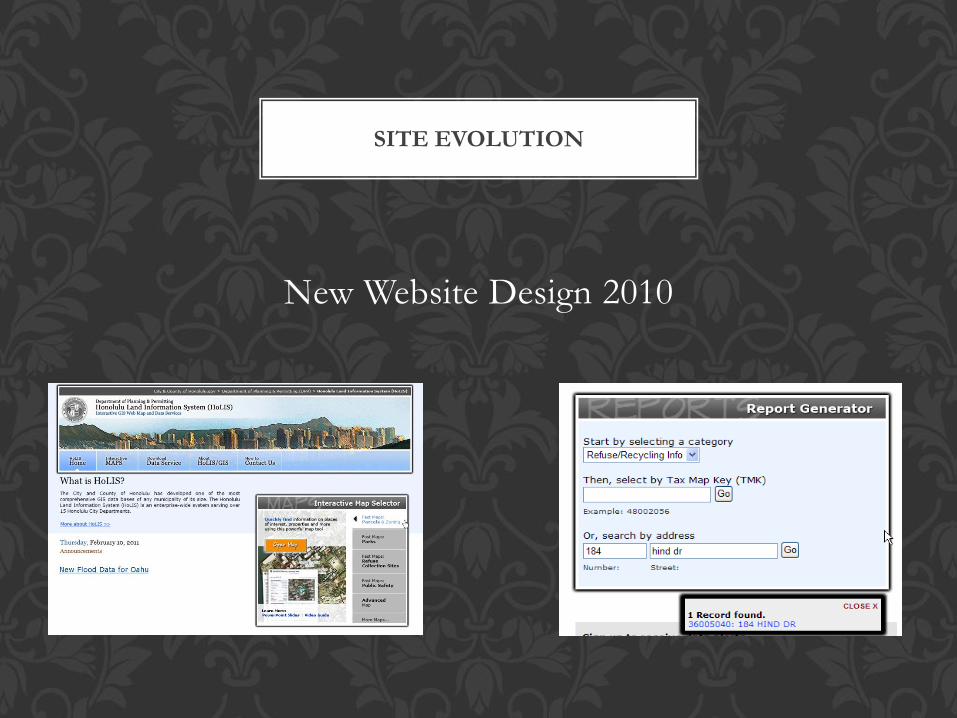
New Website Design 2010
SITE EVOLUTION

Latest Changes: software upgrades
Upgraded MS Silverlight to version 4
Upgraded the OS to Win Server 2008 Enterprise
Upgraded ArcGIS Server from 9.3 to 10
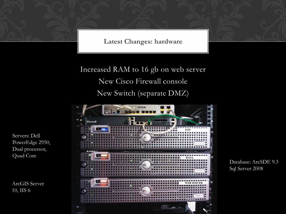
Latest Changes: hardware
Increased RAM to 16 gb on web server
New Cisco Firewall console
New Switch (separate DMZ)
Servers: Dell
PowerEdge 2950,
Dual processor,
Quad Core Database: ArcSDE 9.3
Sql Server 2008
ArcGIS Server
10, IIS 6
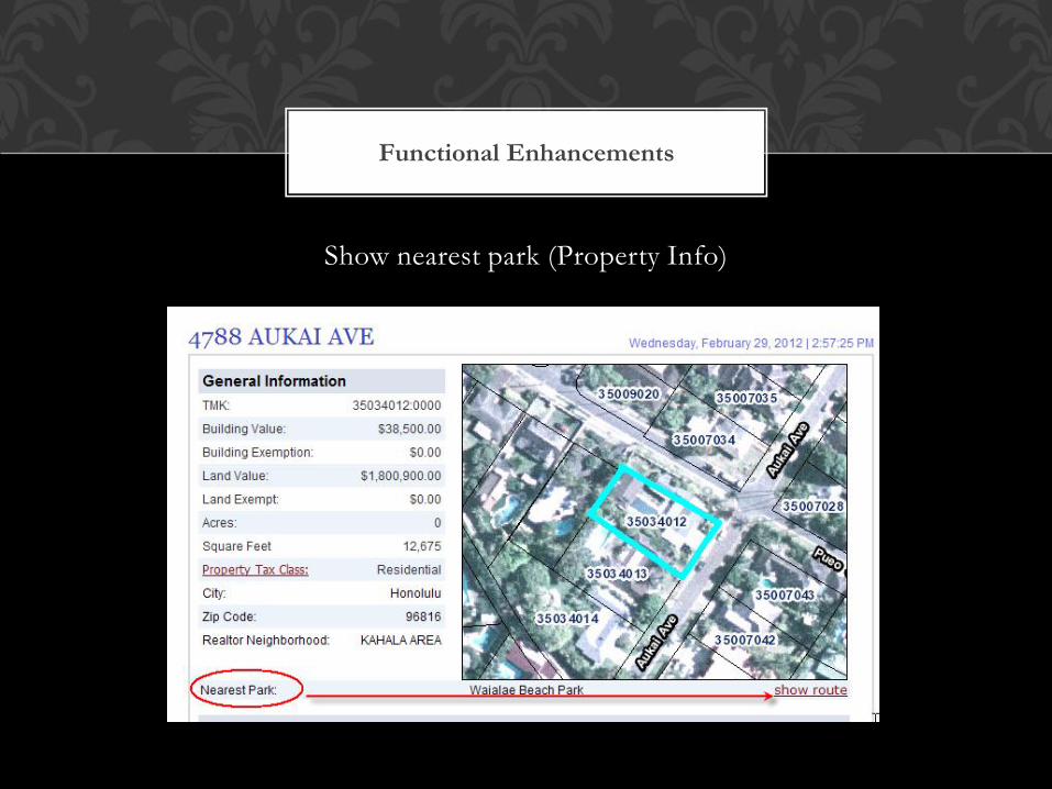
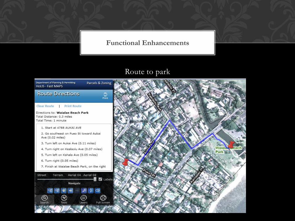
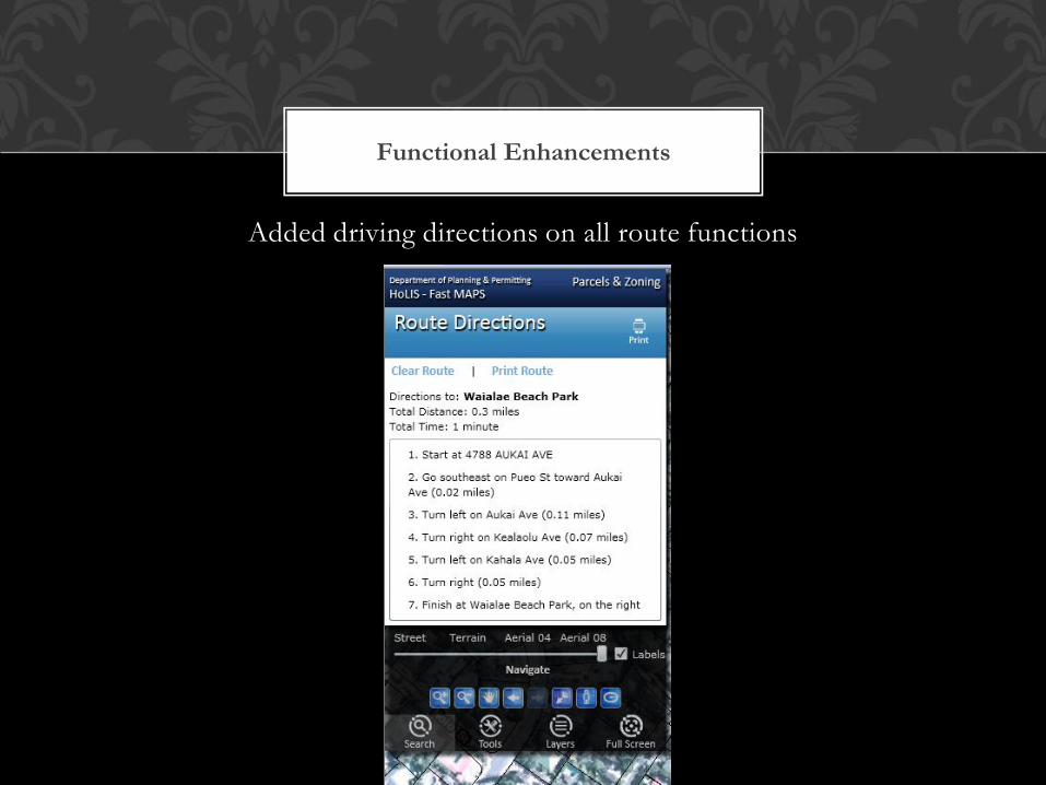
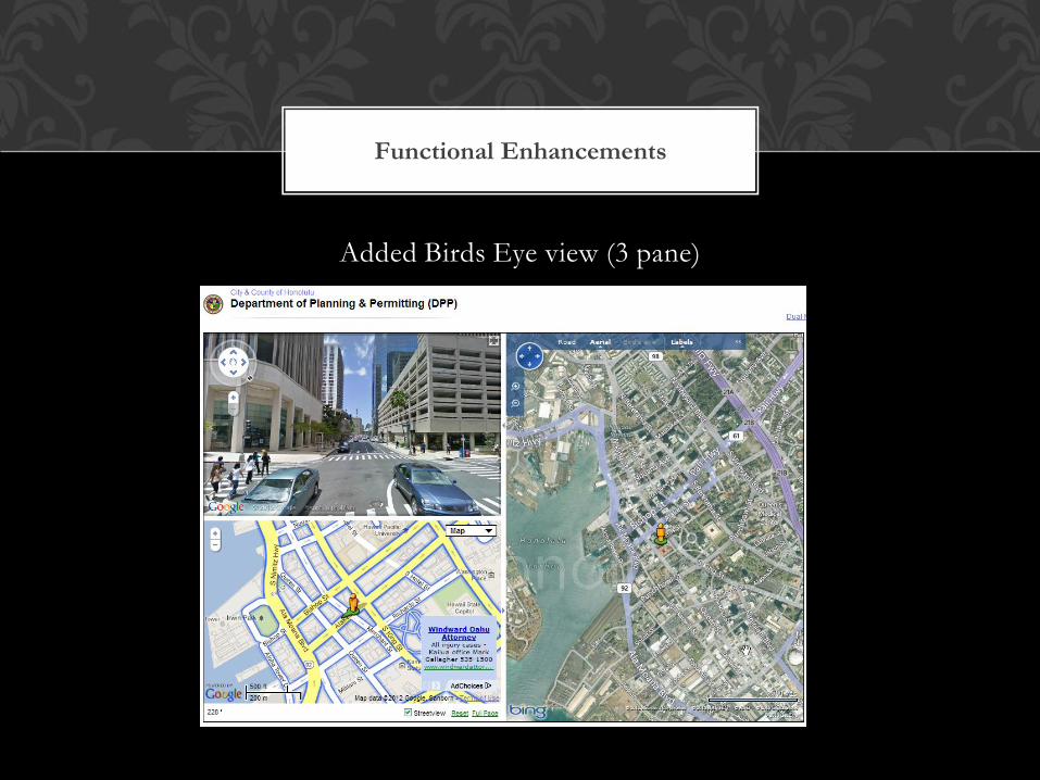
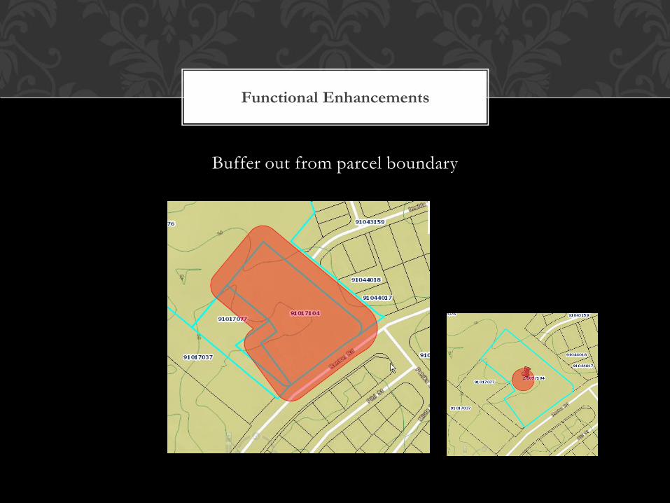
Functional Enhancements
Property Info Enhancements
Show nearest park
Route to park
Added driving directions on all route functions
Enable printing of route map
Added Birds eye view (3 pane layout)
Buffer out from parcel boundary

Functional Enhancements
Property Info
Functional Enhancements
Show nearest park (Property Info)
Functional Enhancements
Route to park
Functional Enhancements
Added driving directions on all route functions

Functional Enhancements
Enable printing of route map
Functional Enhancements
Added Birds Eye view (3 pane)

Latest: functionality
Added Birds Eye view (3 pane)
Functional Enhancements
Buffer out from parcel boundary
Limited budget
Various Internal Stakeholders
public needs for data
New technology
Issues and Constraints
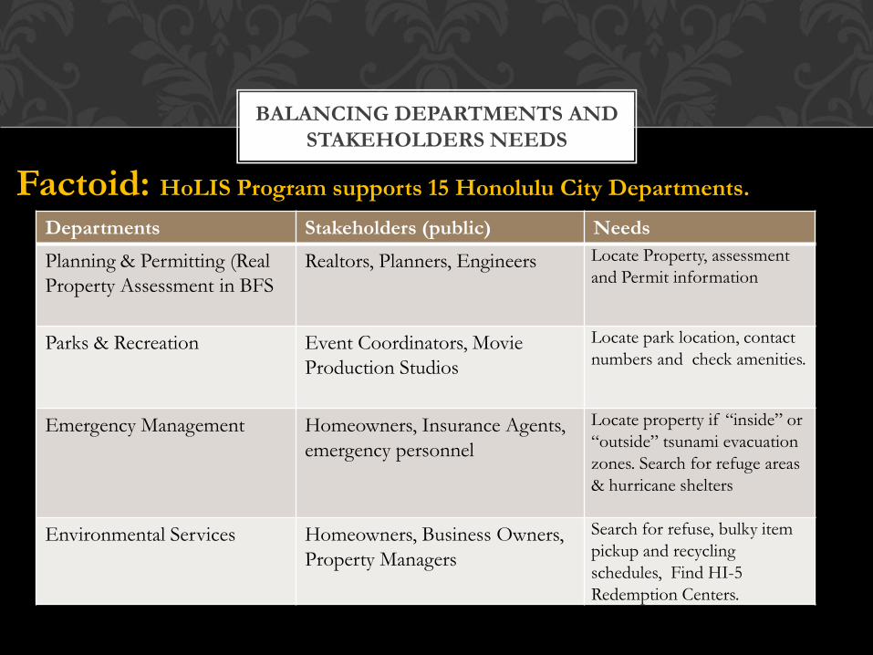
Departments Stakeholders (public) Needs
Planning & Permitting (Real
Property Assessment in BFS
Realtors, Planners, Engineers Locate Property, assessment
and Permit information
Parks & Recreation Event Coordinators, Movie
Production Studios
Locate park location, contact
numbers and check amenities.
Emergency Management Homeowners, Insurance Agents,
emergency personnel
Locate property if “inside” or
“outside” tsunami evacuation
zones. Search for refuge areas
& hurricane shelters
Environmental Services Homeowners, Business Owners,
Property Managers
Search for refuse, bulky item
pickup and recycling
schedules, Find HI-5
Redemption Centers.
BALANCING DEPARTMENTS AND
STAKEHOLDERS NEEDS
Factoid: HoLIS Program supports 15 Honolulu City Departments.
• Where to start.
• What is the formula
• Guidance
• Recommendations
TAKE AWAYS

19
Royal Kona Resort HoLIS Program
http://www.honoluludpp.org/

339,362 Total Visitors 1,195,745 Pageviews
2011
1/3 more
traffic
http://gis.hicentral.com
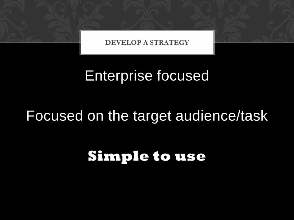
Enterprise focused
Focused on the target audience/task
Simple to use
DEVELOP A STRATEGY

Simple = Success
22
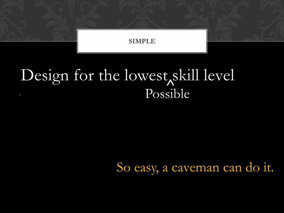
Design for the lowest skill level
SIMPLE
So easy, a caveman can do it.
Possible ^

Your mom,
Your aunty,
Your teenage son/daughter.
Design for them.
TEST GROUP


Evolution Of GIS
Case Study

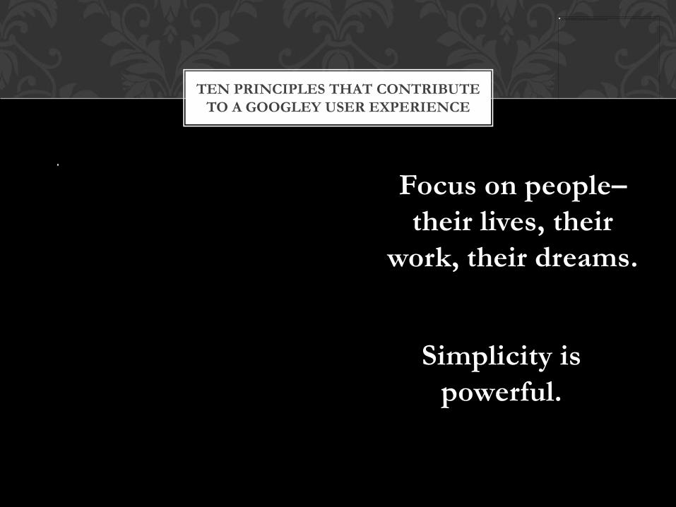
Simplicity is
powerful.
TEN PRINCIPLES THAT CONTRIBUTE
TO A GOOGLEY USER EXPERIENCE
Focus on people–
their lives, their
work, their dreams.


SIMPLE TO USE
Think Smart Phone App
Simple Design
Focus to the user

Product Features
• Pre-made Web based mapping APP
• 4 Parcel Searches
o By Address,
o By TMK#,
o By Places of Interest
o By Cross-street
• 3 Cache Maps
o Street
o Aerial
o Terrain
SO SIMPLE?
Map navigation tools:
• Tools
o Distance measurements
o Query all Properties within a
buffer zone
o Spatial Query
• 5 Customizable Operational
Layers
• Printable Maps Layouts
• Google Street View/Bing Map
integration
• Export search results to text file
• Custom Detail Results Page
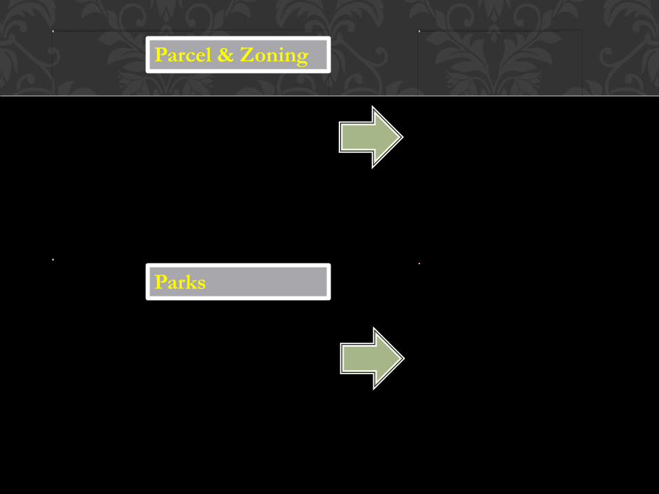
Parcel & Zoning
Parks
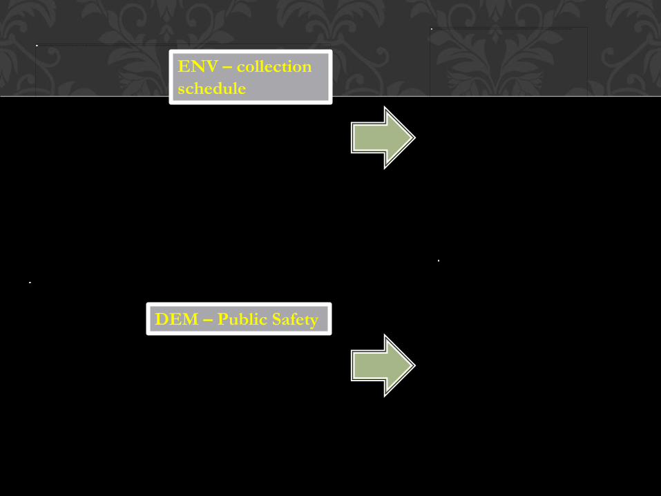
ENV – collection
schedule
DEM – Public Safety

Am I alone?


Apply to Hawaiian land records, environmental analysis, and endangered native species…
WHAT ELSE?
Statewide historical
record keeping of
Hawaiian land
information
• Historical Land
• Land Commission
Awards
• Ceded Lands
PRINCIPLES OF GOOD DESIGN
41

42
GIS

43
Instead of “Locate”
Go
Search
Find
Instead of “Identify”
Find
Name
Show
Instead of “Modify”
Change
USE PLAIN ENGLISH
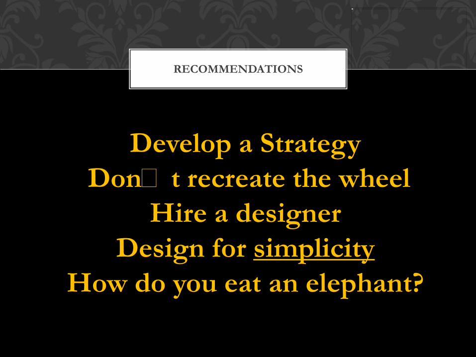
RECOMMENDATIONS
Develop a Strategy
Donʻt recreate the wheel
Hire a designer
Design for simplicity
How do you eat an elephant?


Jon Hodge
GIS Analyst
Department of Planning and Permitting
John Higuchi, PMP
Project Manager
BEI Consultants
THANK YOU