Development and Analysis of a GIS-Based Statewide Freight Data
Upload
hawaii-geographic-information-coordinating-councilCategory
view
1.247download
1
Discover Geospatial Data
State of Hawaii
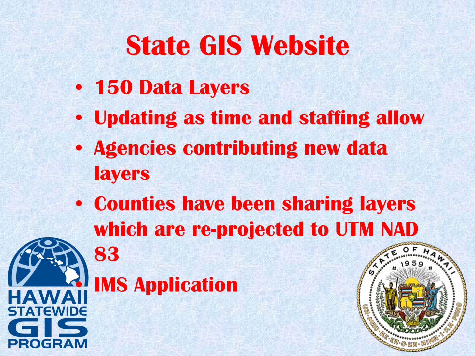
State GIS Website•
150 Data Layers
•
Updating as time and staffing allow
•
Agencies contributing new data layers
•
Counties have been sharing layers which are re-projected to UTM NAD 83
•
IMS Application

www.hawaii.gov/dbedt/giswww.hawaii.gov/dbedt/gis

LiDAR Acquisitions
•
Oahu: Kakaako, Turtle Bay area and Dillingham Airfield
•
Hawaii: Kilauea Crater, Kona, Waimea
•
Lanai: Entire Island
•
Maui: Kihei area

LiDAR-Lanai

Imagery
•
Began filling in gaps in the DOQQ coverage using DigitalGlobe satellite imagery
•
NRCS has taken over this effort

Impervious Surface Data
•
Initial product produced to carry out the C-CAP analysis
•
Oahu and Maui Impervious and C-CAP being done by NOAA
•
Kauai and Niihau have been reviewed and accepted

Impervious Surface Data
•
Molokai, Lanai and Kahoolawe reviewed and accepted; metadata still needs to be developed
•
Hawaii soon to be released for review

Impervious Surface-Lihue, Kauai

Contact Information
•
Craig Tasaka: 587-2894, [email protected]
•
Joan Delos Santos: 587-2895, [email protected]
•
Dennis Kim: 587-2896, [email protected]