: W and c - cisa.sc.edu 2-Pager_August 2018.pdf · CISA’s Water and Climate Resources focus area:...
2
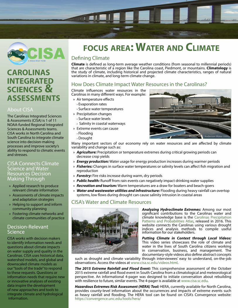
CISA’s Water and Climate Resources FOCUS AREA: WATER AND CLIMATE Defining Climate Climate is defined as long-term average weather conditions (from seasonal to millennial periods) that are characteristic of a region like the Carolina coast, Piedmont, or mountains. Climatology is the study of climate, including historical and projected climate characteristics, ranges of natural variations in climate, and long-term climate change. How Does Climate Impact Water Resources in the Carolinas? Climate influences water resources in the Carolinas in many different ways. For example: » Air temperature effects › Evaporation rates › Surface water temperatures » Precipitation changes › Surface water levels › Salinity in coastal waterways » Extreme events can cause › Flooding › Drought About CISA The Carolinas Integrated Sciences & Assessments (CISA) is 1 of 11 NOAA-funded Regional Integrated Sciences & Assessments teams. CISA works in North Carolina and South Carolina to integrate climate science into decision-making processes and improve society’s ability to respond to climatic events and stresses. CISA Connects Climate Science and Water Resources Decision Making Through » Applied research to produce relevant climate information » Assessments of climate impacts and adaptation strategies » Helping to support and inform community planning » Fostering climate networks and climate communities of practice Decision-Relevant Science CISA works with decision makers to identify information needs and questions about climate impacts on water supply and quality in the Carolinas. CISA uses historical data, watershed models, and global and downscaled climate models as our “tools of the trade” to respond to these requests. Questions or information needs that require new or innovative analyses of existing data inspire the development of new approaches and tools to integrate climate and hydrological information. Many important sectors of our economy rely on water resources and are affected by climate variability and change such as: » Agriculture: Precipitation or temperature extremes during critical growing periods can decrease crop yields » Energy production: Water usage for energy production increases during warmer periods » Fisheries: Changes in surface water temperatures or salinity levels can affect fish migration and reproduction » Forestry: Fire risks increase during warm, dry periods » Public health: Runoff from rain events can negatively impact drinking water supplies » Recreation and tourism: Warm temperatures are a draw for boaters and beach-goers » Water and wastewater utilities and infrastructure: Flooding during heavy rainfall can overtop systems, low flows during drought can cause salinity intrusion in coastal areas CAROLINAS INTEGRATED SCIENCES & ASSESSMENTS information for our stakeholders. Putting Climate in Context through Local Videos: This video series showcases the role of climate and water in the lives of South Carolina citizens working in conservation, business, and management. The documentary-style videos also define abstract concepts such as drought and climate variability through interviewees’ easy to understand, on-the-job observations. Access the videos at www.cisa.sc.edu/videos.html. The 2015 Extreme Rainfall and Flood Event: This comprehensive assessment of the October 2015 extreme rainfall and flood event in South Carolina from a climatological and meteorological perspective. An informational 4-pager was designed to initiate conversation about rebuilding with resilience to future, similar events. The 4-pager is available at www.cisa.sc.edu. Hazardous Extremes Risk Assessment (HERA) Tool: HERA, currently available for North Carolina, provides county-level information about the occurrences and impacts of extreme events such as heavy rainfall and flooding. The HERA tool can be found on CISA’s Convergence website: https://convergence.unc.edu/tools/hera/ Analyzing Hydroclimate Extremes: Among our most significant contributions to the Carolinas water and climate knowledge base is the Carolinas Precipitation Patterns and Probabilities Atlas, released in 2016. This website connects the Carolinas using various drought indices and analysis methods to compile useful Photo Credit: Anderson Water Utility Photo Credit: Chuck Burton
Transcript of : W and c - cisa.sc.edu 2-Pager_August 2018.pdf · CISA’s Water and Climate Resources focus area:...
CISA’s Water and Climate Resources
focus area: Water and climateDefining ClimateClimate is defined as long-term average weather conditions (from seasonal to millennial periods) that are characteristic of a region like the Carolina coast, Piedmont, or mountains. Climatology is the study of climate, including historical and projected climate characteristics, ranges of natural variations in climate, and long-term climate change.
How Does Climate Impact Water Resources in the Carolinas?Climate influences water resources in the Carolinas in many different ways. For example:
» Air temperature effects › Evaporation rates › Surface water temperatures
» Precipitation changes › Surface water levels › Salinity in coastal waterways
» Extreme events can cause › Flooding › Drought
About CISAThe Carolinas Integrated Sciences & Assessments (CISA) is 1 of 11 NOAA-funded Regional Integrated Sciences & Assessments teams. CISA works in North Carolina and South Carolina to integrate climate science into decision-making processes and improve society’s ability to respond to climatic events and stresses.
CISA Connects Climate Science and Water Resources Decision Making Through
» Applied research to produce relevant climate information
» Assessments of climate impacts and adaptation strategies
» Helping to support and inform community planning
» Fostering climate networks and climate communities of practice
Decision-Relevant ScienceCISA works with decision makers to identify information needs and questions about climate impacts on water supply and quality in the Carolinas. CISA uses historical data, watershed models, and global and downscaled climate models as our “tools of the trade” to respond to these requests. Questions or information needs that require new or innovative analyses of existing data inspire the development of new approaches and tools to integrate climate and hydrological information.
Many important sectors of our economy rely on water resources and are affected by climate variability and change such as:
» Agriculture: Precipitation or temperature extremes during critical growing periods can decrease crop yields
» Energy production: Water usage for energy production increases during warmer periods » Fisheries: Changes in surface water temperatures or salinity levels can affect fish migration and
reproduction » Forestry: Fire risks increase during warm, dry periods » Public health: Runoff from rain events can negatively impact drinking water supplies » Recreation and tourism: Warm temperatures are a draw for boaters and beach-goers » Water and wastewater utilities and infrastructure: Flooding during heavy rainfall can overtop
systems, low flows during drought can cause salinity intrusion in coastal areas
carolinas integrated sciences & assessments
information for our stakeholders.Putting Climate in Context through Local Videos: This video series showcases the role of climate and water in the lives of South Carolina citizens working in conservation, business, and management. The documentary-style videos also define abstract concepts
such as drought and climate variability through interviewees’ easy to understand, on-the-job observations. Access the videos at www.cisa.sc.edu/videos.html.The 2015 Extreme Rainfall and Flood Event: This comprehensive assessment of the October 2015 extreme rainfall and flood event in South Carolina from a climatological and meteorological perspective. An informational 4-pager was designed to initiate conversation about rebuilding with resilience to future, similar events. The 4-pager is available at www.cisa.sc.edu.Hazardous Extremes Risk Assessment (HERA) Tool: HERA, currently available for North Carolina, provides county-level information about the occurrences and impacts of extreme events such as heavy rainfall and flooding. The HERA tool can be found on CISA’s Convergence website: https://convergence.unc.edu/tools/hera/
Analyzing Hydroclimate Extremes: Among our most significant contributions to the Carolinas water and climate knowledge base is the Carolinas Precipitation Patterns and Probabilities Atlas, released in 2016. This website connects the Carolinas using various drought indices and analysis methods to compile useful
Photo Credit: Anderson Water Utility
Photo Credit: Chuck Burton

Research and products to improve understanding of climate and water connections
Engaging Citizen Scientists in Drought Impacts Monitoring and ReportingWe work with citizen scientists and the Community Collaborative Rain, Hail, and Snow (CoCoRaHS) network to promote drought impacts reporting. Volunteers provide weekly “condition monitoring” reports to document the effects of weather and climate on their local communities and environments. CISA developed the Condition Monitoring Web Map to provide online access to the reports. Access the map at: www.cocorahs.org/Maps/conditionmonitoring/.
CISA WATER AND CLIMATE PROJECTS
Team MembersUniversity of South CarolinaGreg CarboneKirstin DowAmanda FarrisPeng GaoKerry GuiseppeKirsten Lackstrom
UNC Chapel HillSE Regional Climate CenterChip KonradAshley Ward
SC Sea Grant ConsortiumSarah Watson
Project Partners » National Integrated Drought
Information System (NIDIS) » NC Sea Grant » SC Sea Grant Consortium » SC State Climatology Office » State Climate Office of NC » USGS South Atlantic Water
Science Center
Connect with CISACISA publishes a quarterly newsletter, the Carolinas Climate Connection, and manages the Carolinas Climate Listserv in order to share the lastest climate-related news and events.
University of South CarolinaDepartment of Geography709 Bull StreetColumbia, SC [email protected](803) 777-6875www.cisa.sc.eduwww.facebook.com/usccisa@CarolinasRISA
Funding SupportCISA’s water and drought projects are funded by NOAA and the National Integrated Drought Information System (NIDIS) through multiple awards.
Photo Credit: SC DNR
Supporting the SC Drought Response ProgramCISA and the South Carolina State Climatology Office initiated this project in 2017 to enhance the State’s Drought Response Program and improve drought preparedness. Activities have included conducting South Carolina’s first drought and water shortage tabletop exercise and developing a new portal for drought information, available at www.scdrought.com.
Innovating Drought Communications with North Carolina Decision MakersThis project with the State Climate Office of North Carolina focuses on improving the usability of drought-relevant information with partners from the NC Drought Management Advisory Council and constituents such as Cooperative Extension agents and public water supply system managers.
The Coastal Carolinas Drought Early Warning SystemCISA collaborates with the National Integrated Drought Information System (NIDIS) and other regional partners to build understanding of the unique vulnerabilities and impacts of drought in coastal areas and to develop resources to help integrate drought into coastal resource management activities. Current projects focus on:
» Monitoring and assessing coastal zone fire risks, a project led by the State Climate Office of North Carolina
» Advancing the development and use of the Coastal Salinity Index, a project led by the USGS South Atlantic Water Science Center
CISA collaborates with research and stakeholder partners to investigate the connections between climate, extreme events, and impacts to water resources. Research findings are often used to tailor climate information for specific decision making needs and questions.
Photo Credit: Melinda Ball
Assessing Extreme Rainfall Events: One recent project evaluated the ability of downscaled regional climate models to reproduce the intensity, duration, and frequency of heavy rainfall events as well as projected changes in these events at a regional scale across the United States. Another project investigated the use of rainfall observations with model output to better understand the nature of heavy rainfall and flooding events in two South Carolina watersheds.
Assessing Climate Sensitivity and Long-term Water Supply Reliability: CISA is working with a North Carolina water utility to model the water system’s response to climate in order to facilitate the consideration of climate change in the utility’s long range planning.
Tailoring Global Climate Change Information for Local Decisions: CISA produced future precipitation scenarios for a high-resolution flood model that will be used to better understand and communicate flood risks in the Charleston, SC, region. In a project focused on Georgetown County, SC, CISA developed a series of temperature and precipitation projections to help educate decision makers about local climate change risks and how to effectively use climate change information for planning and resource management.
Photo Credit: Christopher Lumpp