


Languages
Pages
Legal


Moroccan Centre of Excellence in Remote Sensing Project:
Capacities, Positionning, and Value Added
San Jose Doscompos:October 08-11, 2011
Noureddine Filali B.(Head of Morocan Centre for Meteorological Research)
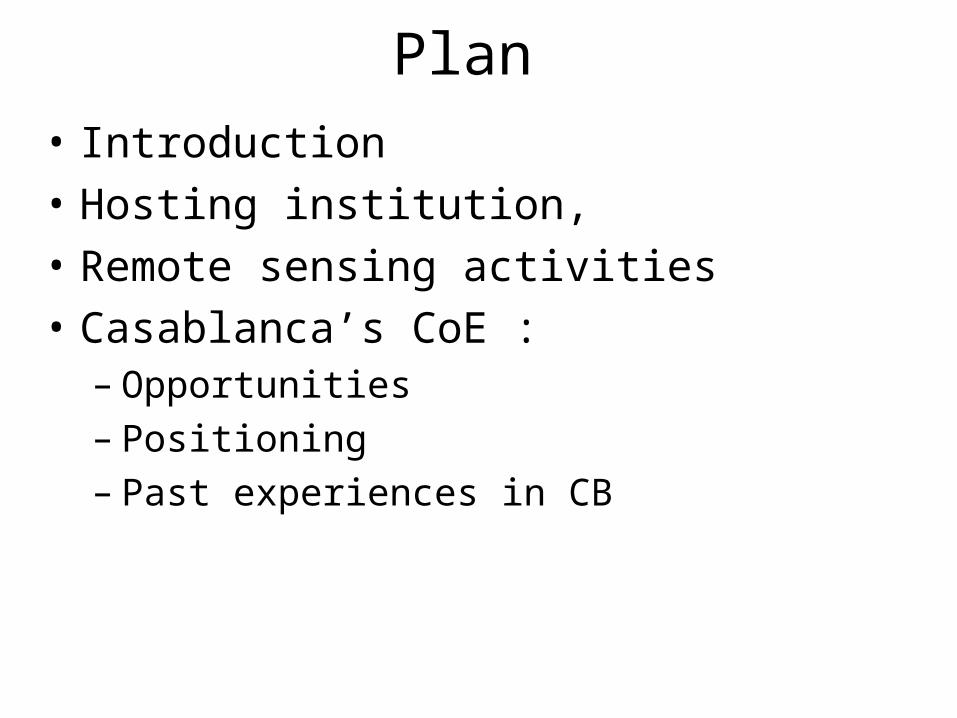
Plan • Introduction• Hosting institution,• Remote sensing activities• Casablanca’s CoE :
– Opportunities– Positioning– Past experiences in CB

Introduction• Vital role of remote sensing for applied meteorology,• Due to technological development, new opportunities
arisen for remote sensing use in different societal and economical Area (agriculture, water, environment, energy, etc..),
• Infrastructure CB projects (PUMA, AMESD, etc.) played important role as a driven forces to development of NMS enabling them to fully play theirs role beside its national partners,
• if individual CB, accompanying these projects, allowed to ensure theirs success , still remains that capacity building at institutional level is necessary to ensure the sustainability of this success and to open up new horizons.

Introduction• It is at this level where is the relevance of the establishment
of the network center of excellence that we hope to join,
• In DMN, we believe that it is necessary to strengthen and maintain our own capacities to be able to help our partners to build theirs capacity,
• This is our motivation and this is our objective to join this network.

Hosting institution
8 Terra Octets IBM calculator

Hosting institution

• Mission:Develop meteorological products and tools in different temporal and
space scale, and Transfer of Knowledge to DMN’s operational staff.
• 4 strategic activity Domains : Local and very small scale Meteorology (few hours, few km); Small and medium scale Meteorology (few hours to few days, les
than 20 kilometers);Large scale Meteorology and Climate (few months, several tens of
kilometers), Atmospheric research and weather modification.
• 45 engineers and technicians.
Hosting institution:National Centre for Meteorological Research

Remote sensing activities
• Early in 1980 APT (Automatic Picture Transmission) , (nephanalysis)
• SDUS (1984), (Al ghaït Program)• PDUS (1986),• HRPT (1996), • Meteosat reception station (2006).

• Since 2004, RGB technique was applied for Meteosat 7 as a combination of VIS an IR channel
Remote sensing activities

• Remote sensing/ RGB
Remote sensing activities

• RS productsAutomatic cloud
classification
Rain rate probability of
detection
Remote sensing activities

• Remote sensing/ Drought monitoring
PourcentNDVIVCI
Remote sensing activities
0
0,10,2
0,30,4
0,5
0,60,7
0,80,9
1
sept.-90 janv.-91 mai-91 sept.-91 janv.-92 mai-92 sept.-92 janv.-93 mai-93 sept.-93 janv.-94 mai-94 sept.-94 janv.-95 mai-95 sept.-95
-3
-2
-1
0
1
2
3
4
5
6SPINDVI, VCIMoyenne mobiles sur 3 mois des indices de sécheresse

• RS/ NWP
2 operationnal Models run on the New supercomputer (2010) : IBM HPC (processor 8.3 TFlops)Al Bachir area limited model (Horizontal resolution : 10km ,Vertical resolution : 60 levels)Aladin NORAF model (Aladin North Africa ( resol 31 km, 37 levels),Arpege Climatology and coupling,
Remote sensing activities

• Loss of local data due to Arpege coupling file with severe black screening ,
• 2010 data assimilation program in order to improve the model performance:– 3 DVAR operationnal chain,– Conventionnal data (automatic station, Raw sonde,
etc)– Satellite Data assimilation,– New data assimilation (GPS, Radar),– Assimilation of Pseudo observation of PV (O3
Channel) (Contribution to Hymex)
Model data Assimilation
Remote sensing activities

Model data Assimilation
CNRM / R&D activities

Model data Assimilation
CNRM / R&D activities

Rabat: 97mm Casablanca: 178mmElJadida: 150mm
Model data Assimilation/ case Studies
CNRM / R&D activities

Casablanca CoE in Remote sensing Project

opportunities
• Desire of DMN to play a regional role in Meteorology and Climate with proposed projects to host regional center of Climate and Information System,
• Proximity (space and language) centers in Niamey and Oman with opportunities of synergy and coordination,
• DMN experience in various fields: Numerical weather prediction, climate studies, weather modification.

PositioningObj2:
To foster research and the development of applications for
societal benefit at the local level by the NMHS.
A center of excellence focused on the promotion of the use of satellite data for development of new application for socio-economic sectors and knowledge transfer to the operational
sectors while building synergies with its partners including the center of Niamey.
Remote
sensis
ng
engineer R&D
engineer

Past experiences in Remote sensing training
• Ecole Hassania des Travaux Publics :– Since 1996: module of 30 hrs on satellite meteorology
• African Regional Centre for Science and Technology of Space for French speking language:– Module of 30 hrs for the Post-graduate training in
Remote Sensing and GIS– Post-graduate training in Satellite Meteorology and
Global Climate
• 2 workshops organised in 2009 and 2011 in partership with EUMETSAT

• 1st CB workshop in partnership with EUMETSAT held at Casablanca 26 to 30 Octobre 2009,
•20 participants among them :
•participants from Noth african Countries,
•Forecasters from DMN (experience exchange enabled)
•Trainers from DMN, EUMETSAT and EAMAC,
•courses focuse on resmote sensing, satellite program,

• 2nd CB workshop in partnership with EUMETSAT held at Casablanca 24 to 28 October 2011,
•24 participants among them :
•participants from 10 african Countries,
•Forecasters from DMN (experience exchange enabled)
•Trainers from DMN, EUMETSAT and EAMAC,
•courses focuse on Remote sensing + applications NWP, Climate,
Top Related