


Languages
Pages
Legal

Ben KravitzNovember 5, 2009
CALIPSO

What is CALIPSO?
CALIPSO is (among a couple of other things) a space-based LIDAR
Launched in 2005
Flies on the A-train

• Statistics on the vertical structure of clouds
• Geographic and vertical distribution of aerosols around the world
• Detection of sub-visible cirrus and polar stratospheric clouds
• Indirect estimate of the radiative contribution of aerosols
What CALIPSO does
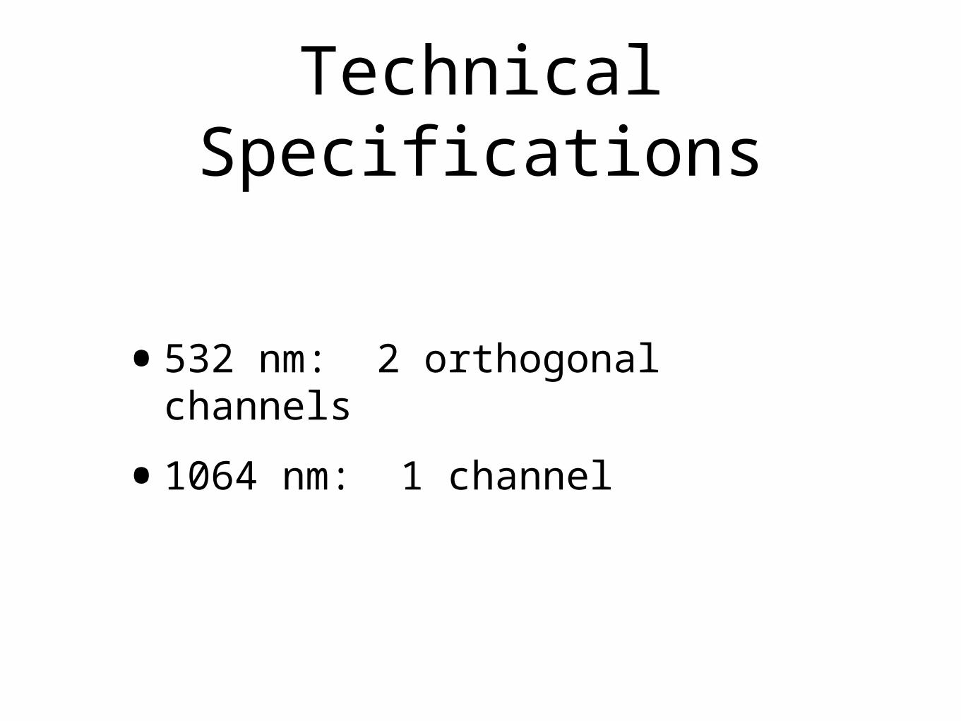
•532 nm: 2 orthogonal channels
•1064 nm: 1 channel
Technical Specifications
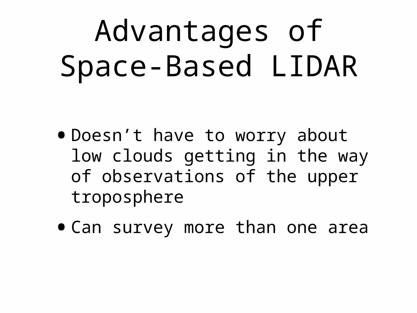
•Doesn’t have to worry about low clouds getting in the way of observations of the upper troposphere
•Can survey more than one area
Advantages of Space-Based LIDAR

Sample CALIPSO retrievals
http://www-calipso.larc.nasa.gov/products/lidar/browse_images/show_calendar.php

Each page has approx. 34 images on it
Path of the satellite on the specified day
Also has images of just daytime and just nighttime

Polar stereographic projections

Clickable pieces of the orbits
We’ll click on the blue section of the first picture

We get 9 more images
The blue section is now highlighted (to remind
us what we clicked)

Polar projections
This orbit doesn’t pass over the ArcticThis orbit does pass over the Antarctic, but that’s not the part we clicked

First main image: 532 nm total backscatter

Second image: 532 nm perpendicular backscatter

Third image: 532 nm depolarization ratio

Fourth image: 1064 nm backscatter

Fifth image: Attenuated Color Ratio

Sixth image: Vertical Feature Mask

So let’s look at some interesting features

We’ll go through two of the (four) colors on this one

Purple Strip

Purple Strip

Purple Strip

Purple Strip
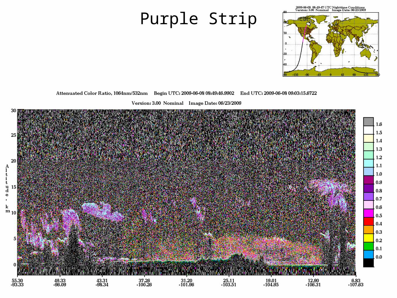
Purple Strip

Purple Strip

Green Strip
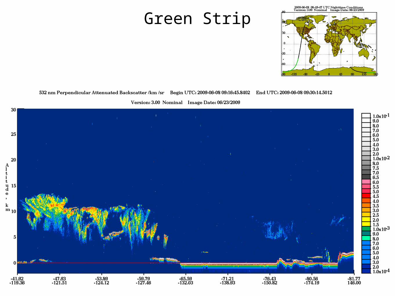
Green Strip

Green Strip

Green Strip

Green Strip

Green Strip

Occasionally you’ll get something that looks like this

Notice the really interesting feature over the green/red area
(Antarctica)


More fun stuff


Top Related