Weather Briefing - Central Region Headquarters · 17/04/2013 · Weather Briefing. April 17-20,...
13
Weather Briefing April 17-20, 2013 National Weather Service Detroit/Pontiac, MI http://www.weather.gov/dtx Email: [email protected]
Transcript of Weather Briefing - Central Region Headquarters · 17/04/2013 · Weather Briefing. April 17-20,...

Weather Briefing April 17-20, 2013
National Weather Service Detroit/Pontiac, MI
http://www.weather.gov/dtx Email: [email protected]
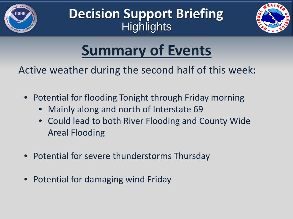
Decision Support Briefing Highlights
Summary of Events Active weather during the second half of this week:
• Potential for flooding Tonight through Friday morning • Mainly along and north of Interstate 69 • Could lead to both River Flooding and County Wide
Areal Flooding
• Potential for severe thunderstorms Thursday
• Potential for damaging wind Friday

Rainfall Observed Last Week
Saturated ground due to heavy rainfall last week.

Decision Support Briefing Highlights
Flood Potential Summary Rain will spread into lower Michigan Tonight as a warm front moves northward.
Flood Watch counties Tonight through Friday morning
River Flood Warnings
Locally heavy rainfall possible,
mainly Thursday night
Frontal Positions Thursday Morning

www.weather.gov/detroit
Storm Total Rainfall Total Rainfall Tonight through
Friday Morning
• 2 to 3 inches, locally up to 4 inches, possible in the Flood Watch area.
• 1 to 2 inches possible to south and
east of watch area over the rest of SE Michigan.

www.weather.gov/detroit
River Response
• Near Record Flooding at Midland this weekend. Reaches Flood Stage Friday morning.
• Saginaw stays above flood stage and then goes back to moderate flooding through the weekend.
Tittabawassee River at Midland Saginaw River at Saginaw

Thursday Hazard Composite

Thursday Severe Potential
Potentially severe thunderstorms possible along and ahead of cold front Thursday into Thursday night

Thursday Severe Potential
• Threats • Wind Gusts in excess of 70 mph • Marginal Severe Hail (1 inch in diameter) • Isolated Tornado
• Threat increases farther south
• Timing: 5 p.m. to just after midnight

Friday High Wind Potential
Westerly wind gusts of 45 mph or greater possible after the cold front moves through the region Friday.

www.weather.gov/detroit
Potential Impacts from Rainfall
Road Conditions
• Ponding of water • Low visibility • Potential for flooded roads and road closures
Additional Potential Impacts
• River Flooding • Countywide Areal Flooding – Low Areas, Streams, Creeks • Most likely north of I-69 • Farther south, dependent on evolution of thunderstorms

Power Outage Potential
High
Medium
Low
www.weather.gov/detroit
Potential Impacts from Thunderstorms and Wind
Thursday’s Thunderstorms
• Downed trees and power lines from severe wind gusts • Hail • Isolated Tornadoes Possibleee damage and sporadic power
outages
Friday’s Wind
• Potential for a 50 to 60 mph wind gust as cold front passes Friday morning
• Rest of Friday to have wind gust potential of 45 to 50 mph • Wet ground will not be able to support trees as well in the
wind • Expect additional downed trees and associated power
outages

Additional Information
NWS Detroit/Pontiac, MI http://www.weather.gov/dtx
Email: [email protected]
Local Hazards Page http://www.weather.gov/detroit/svr.php
Rainfall Probabilities
http://www.crh.noaa.gov/dtx/ProbQPF.php
Wind Probabilities http://www.crh.noaa.gov/dtx/?n=pwind
Impact Based Warnings Experiment
http://www.crh.noaa.gov/crh/?n=2013_ibw_info