Use of G99SSS to evaluate the static gravity geopotential derived from the GRACE, CHAMP, and GOCE...
23
Use of G99SSS to evaluate the static gravity geopotential derived from the GRACE, CHAMP, and GOCE missions Daniel R. Roman and Dru A. Smith Session: GP52A-02 Decade of Geopotential Research III
-
Upload
jeffry-perkins -
Category
Documents
-
view
216 -
download
0
Transcript of Use of G99SSS to evaluate the static gravity geopotential derived from the GRACE, CHAMP, and GOCE...
Use of G99SSS to evaluate the static gravity geopotential derived from the GRACE, CHAMP, and
GOCE missions
Daniel R. Roman and Dru A. Smith
Session: GP52A-02Decade of Geopotential Research III
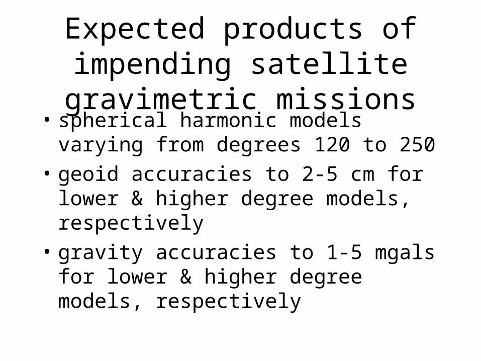
Expected products of impending satellite gravimetric missions
• spherical harmonic models varying from degrees 120 to 250
• geoid accuracies to 2-5 cm for lower & higher degree models, respectively
• gravity accuracies to 1-5 mgals for lower & higher degree models, respectively

How to analyze these models?
By comparison with other currently available gravimetric data or models:
• NGS-held surface gravity measurements
• NGS-held height anomalies (GPSBM’s)
• G99SSS gravimetric geoid model
• EGM96 spherical harmonic model

NGS-held point surface gravity measurements
• 2,155,662 surface gravity measurements scattered throughout North America
• mixture of NGS & NIMA-proprietary data
• terrain corrections are generally 30” with 3” terrain corrections in the northwestern United States

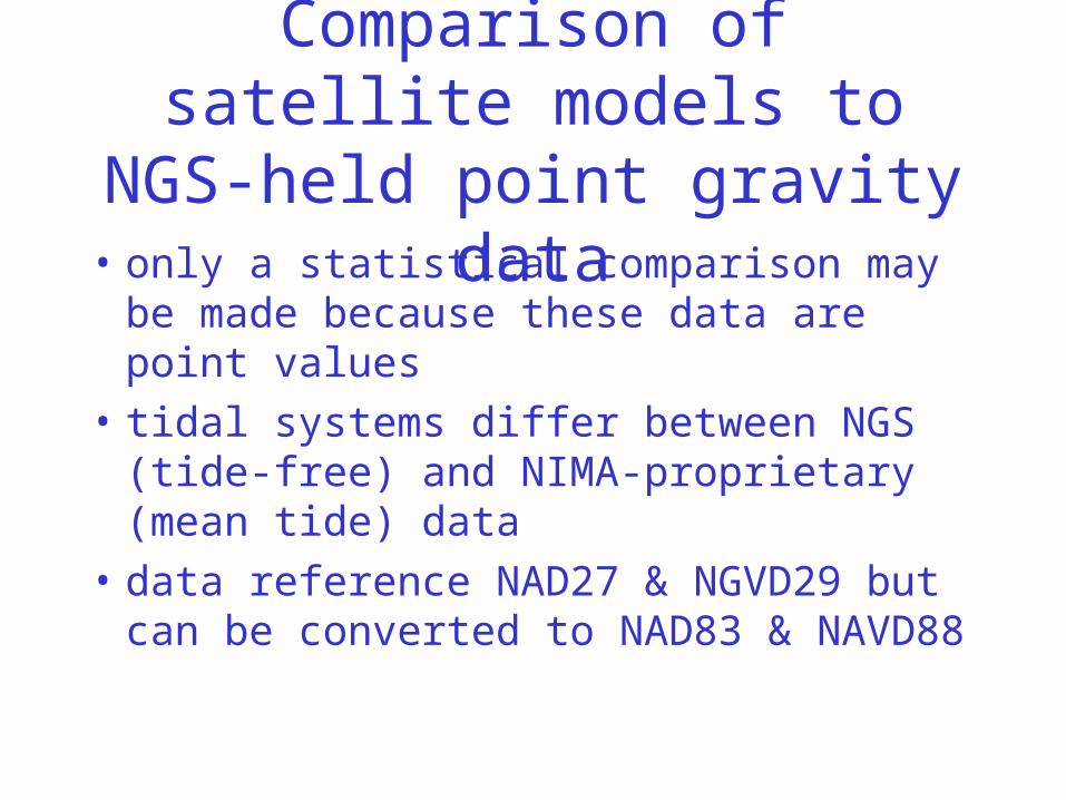
Comparison of satellite models to NGS-held point gravity data
• only a statistical comparison may be made because these data are point values
• tidal systems differ between NGS (tide-free) and NIMA-proprietary (mean tide) data
• data reference NAD27 & NGVD29 but can be converted to NAD83 & NAVD88

NGS-held point height-anomalies (GPSBM’s)
• 6169+ points scattered throughout CONUS
• this data set is constantly being improved and expanded
• it is used to generate the conversion surface between G99SSS and GEOID99


Comparison of satellite models to NGS-held point height-anomalies• only a statistical comparison may be made
because these data are point values
• they highlight 400 km features not well represented in G99SSS as determined by an empirical covariance function
• tidal system is tide-free
• data reference NAD27 & NGVD29 but can be converted to NAD83 & NAVD88

G99SSS gravimetric geoid model
• incorporated 2,620,460 terrestrial, marine & altimetric gravity data points
• remove-and-restore based on EGM96
• region covered: 24-58° N and 230-300° E
• spatial coverage: 3500 km (degree 12)
• resolution: 1 arc-minute


Comparison of Satellite Models to G99SSS Height Anomalies
• height anomalies are calculated at the surface from G99SSS geoid model
• when combined with GPSBM’s, compares favorable at shorter (400+ km) wavelengths
• model is mainly tide-free & ITRF96/GRS80
• upward continuation of combined G99SSS height anomalies & GPSBM’s necessitates trimming edges due to non-global coverage
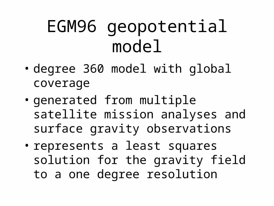
EGM96 geopotential model
• degree 360 model with global coverage
• generated from multiple satellite mission analyses and surface gravity observations
• represents a least squares solution for the gravity field to a one degree resolution


Comparison of Satellite Models to the EGM96 model
• can generate either gravity or geoid values at any elevation including orbital
• comparison may be made at all wavelengths• coefficients may be directly compared
through the degree variances• possible discrepencies at degree 120 and
lower based on comparison to G99SSS• model is tide-free & references WGS84

An Ideal Comparison:
A model at satellite elevation
with all the wavelengths of
EGM96 plus the adjustments
implied by G99SSS & GPSBM’s
for shorter wavelengths

How to generate such a model?
• upward continue G99SSS-EGM96 residuals and re-combine with EGM96 at elevation
• create a spherical harmonic model from G99SSS values and re-calculate these at elevation

Comparison of Satellite Models to hybrid G99SSS/EGM96 model• upward continuation is a stable process
where downward continuation is unstable
• analysis is at the level of the observations
• long wavelengths based on EGM96 model ensure global coverage through degree 120
• shorter wavelengths are improved by the G99SSS & GPSBM’s

A Revised Approach to Generation of the United States National Geoid
A Paradigm Shift

Use of Combined Dense Surface Gravity & Mission Models
• new gravity mission models will provide 2-cm geoid signal through degree 120
• this could replace the use of GPSBM data in defining 400 km wavelengths
• local gravity measurements and improved DEM’s will continue to provide the shorter wavelengths (below 400 km)

Benefits to Revised Geoid Modeling
• ease of comparison to other geoids for surrounding regions (Canada, etc.)
• a new orthometric height datum based on only the geoid model and a GPS network such as the CORS may be implemented
• the gravimetric geoid (with suitable transformations) for the United States would be the only geoid

Conclusion
• NGS-held point gravity & height anomalies may be compared independently and in conjunction with G99SSS & EGM96 to test spherical harmonic models from the GRACE, CHAMP, and GOCE missions
• once confidence is established in these new models, they may be used as the basis for an improved national geoid