Unmanned Aerial Vehicles (UAV) for Disaster Response and ...
37
Unmanned Aerial Vehicles (UAV) for Disaster Response and Recovery Jarlath O’Neil - Dunne & Adam Zylka University of Vermont DISCLAIMER: The views, opinions, findings and conclusions reflected in this presentation are the responsibility of the authors only and do not represent the official policy or position of the USDOT/RITA, or any State or other entity.
Transcript of Unmanned Aerial Vehicles (UAV) for Disaster Response and ...
Unmanned Aerial Vehicles (UAV) for Disaster Response and Recovery
Jarlath O’Neil-Dunne & Adam Zylka
University of Vermont
DISCLAIMER: The views, opinions, findings and conclusions reflected in this presentation are the responsibility of the authors only and do not represent the official policy or position of the USDOT/RITA, or any State or other entity.

Wbaa.org
Rutland Daily Herald
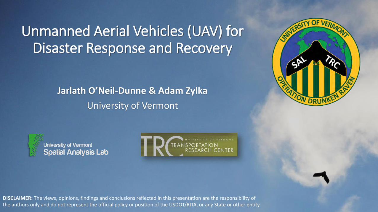
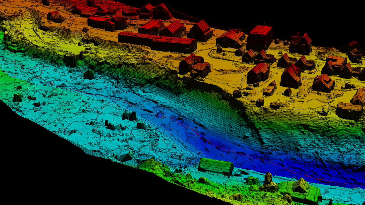
Satellite Aerial
Terrestrial LiDAR Field Survey
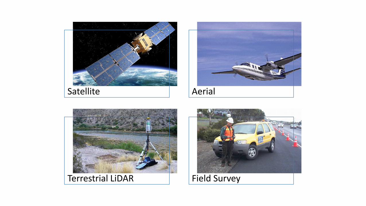
Ease of Use
Saftey Speed Accuracy
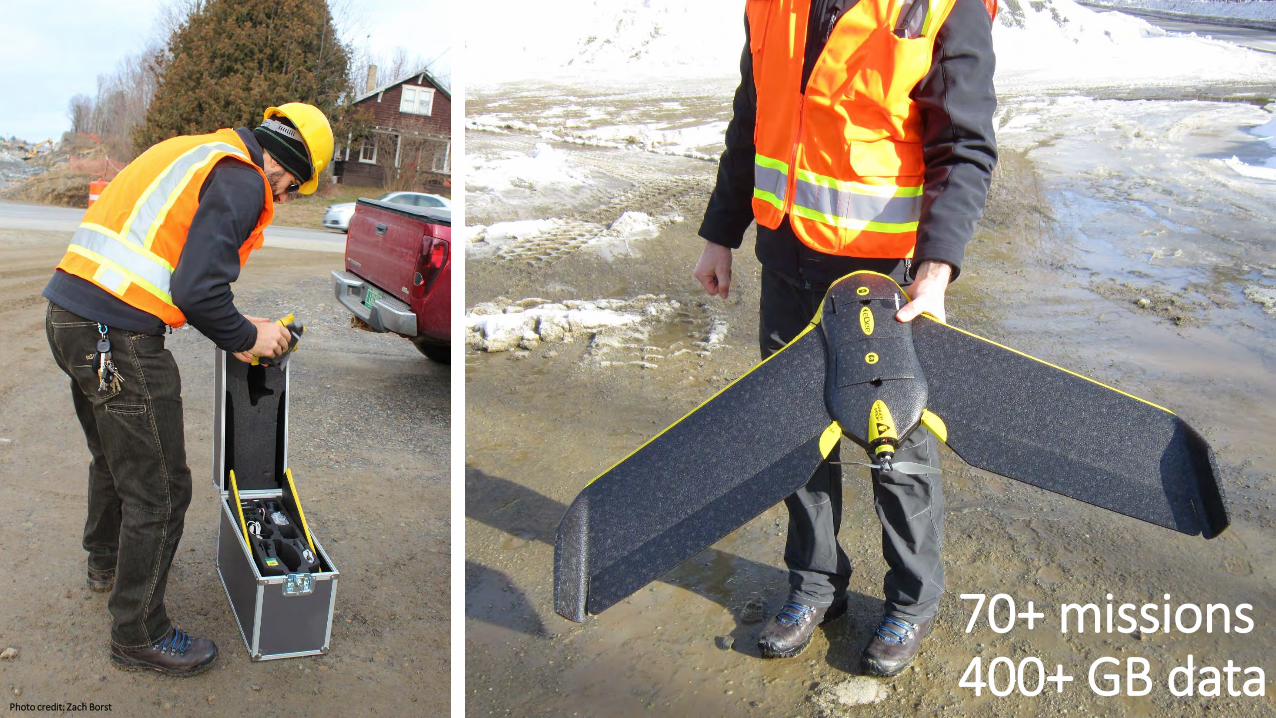
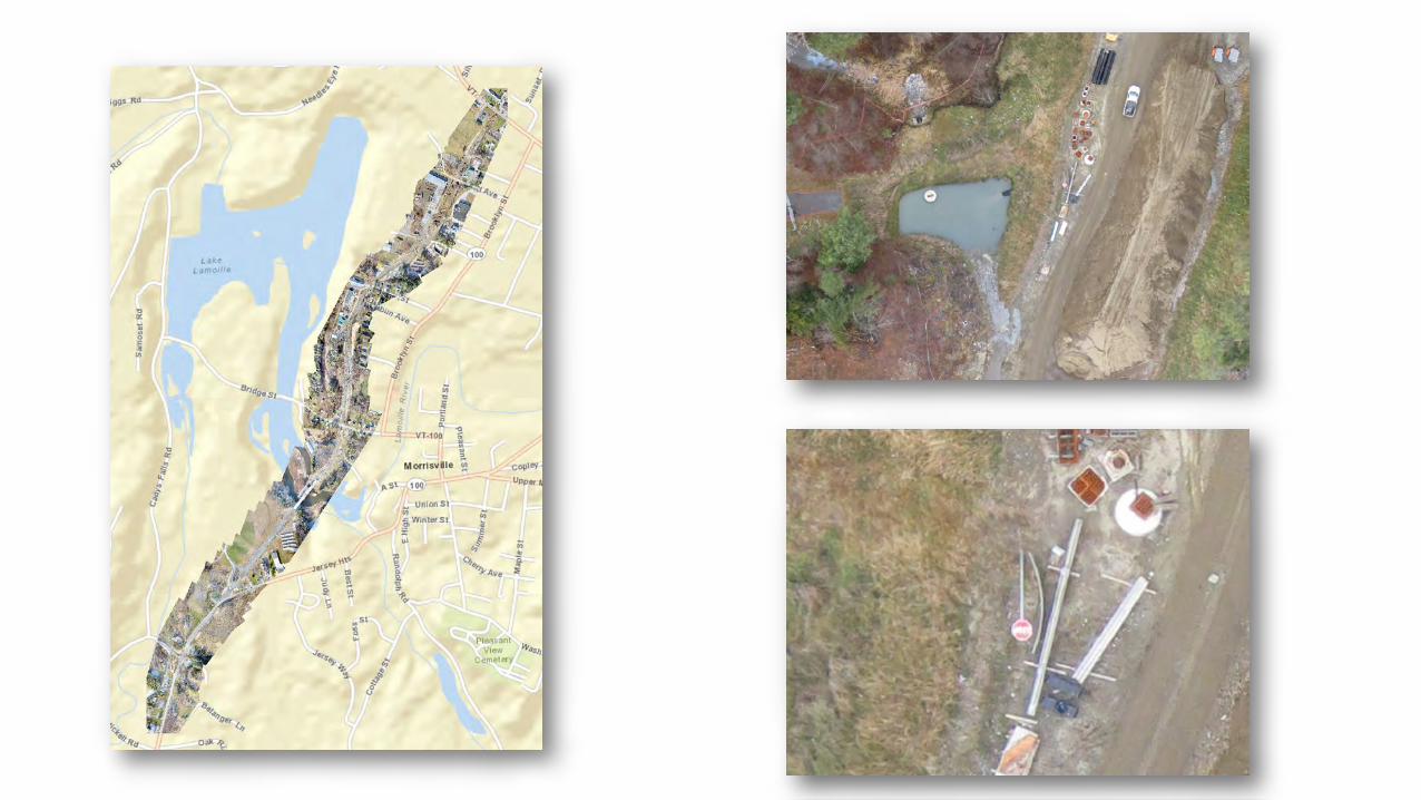
70+ missions400+ GB data
Photo credit: Zach Borst
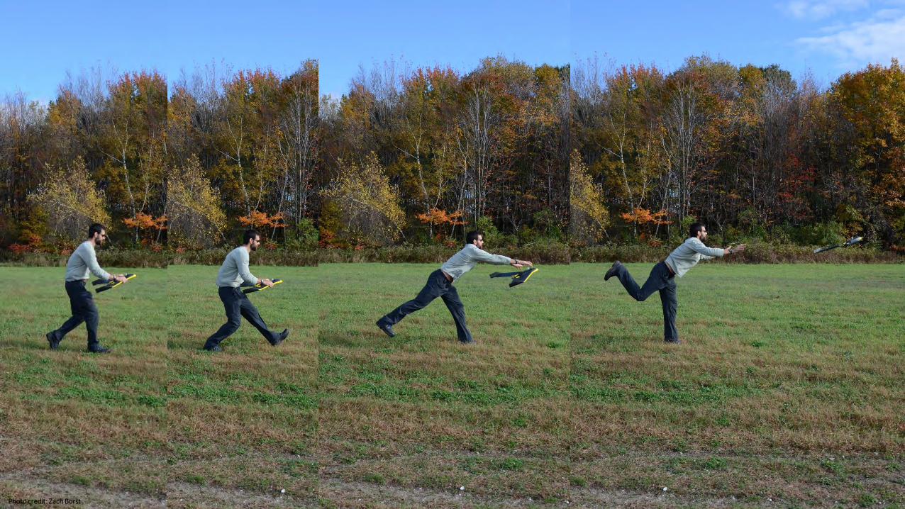
Photo credit: Zach Borst
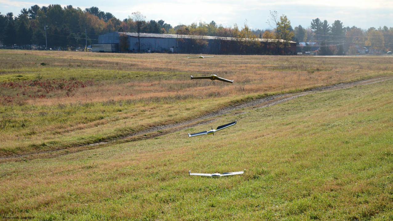
Photo credit: Zach Borst
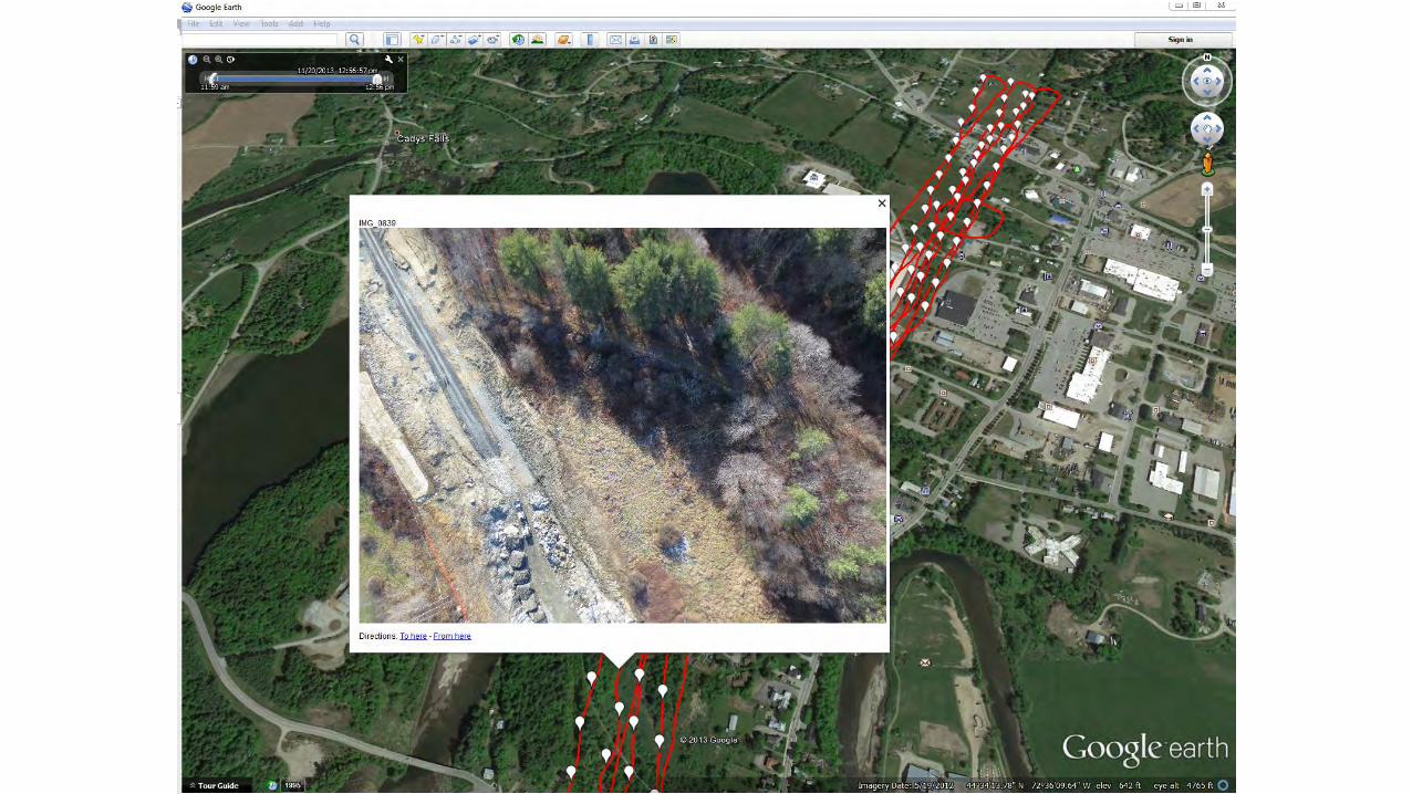
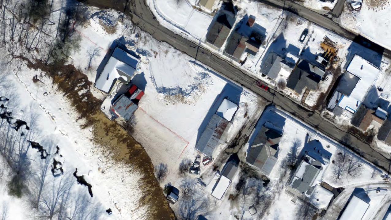
Sources: Esri, DeLorme, HERE, USGS, Intermap, increment P Corp.,NRCAN, Esri Japan, METI, Esri China (Hong Kong), Esri (Thailand),TomTom, Copyright: ©2014 Esri, DeLorme, HERE
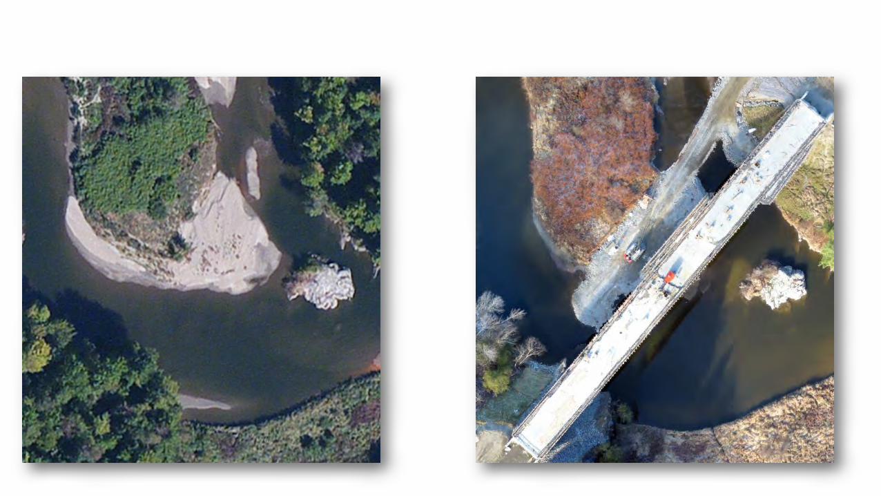
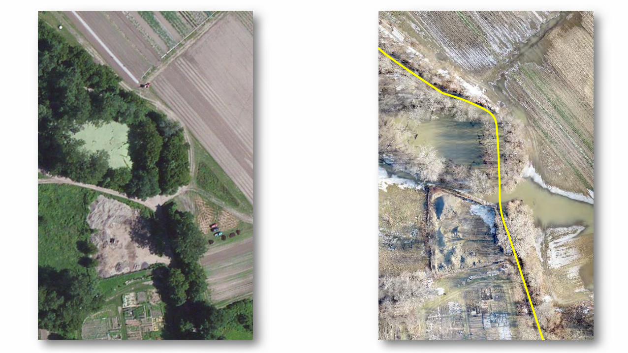
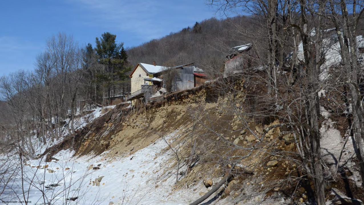
Photo credit: Zach Borst
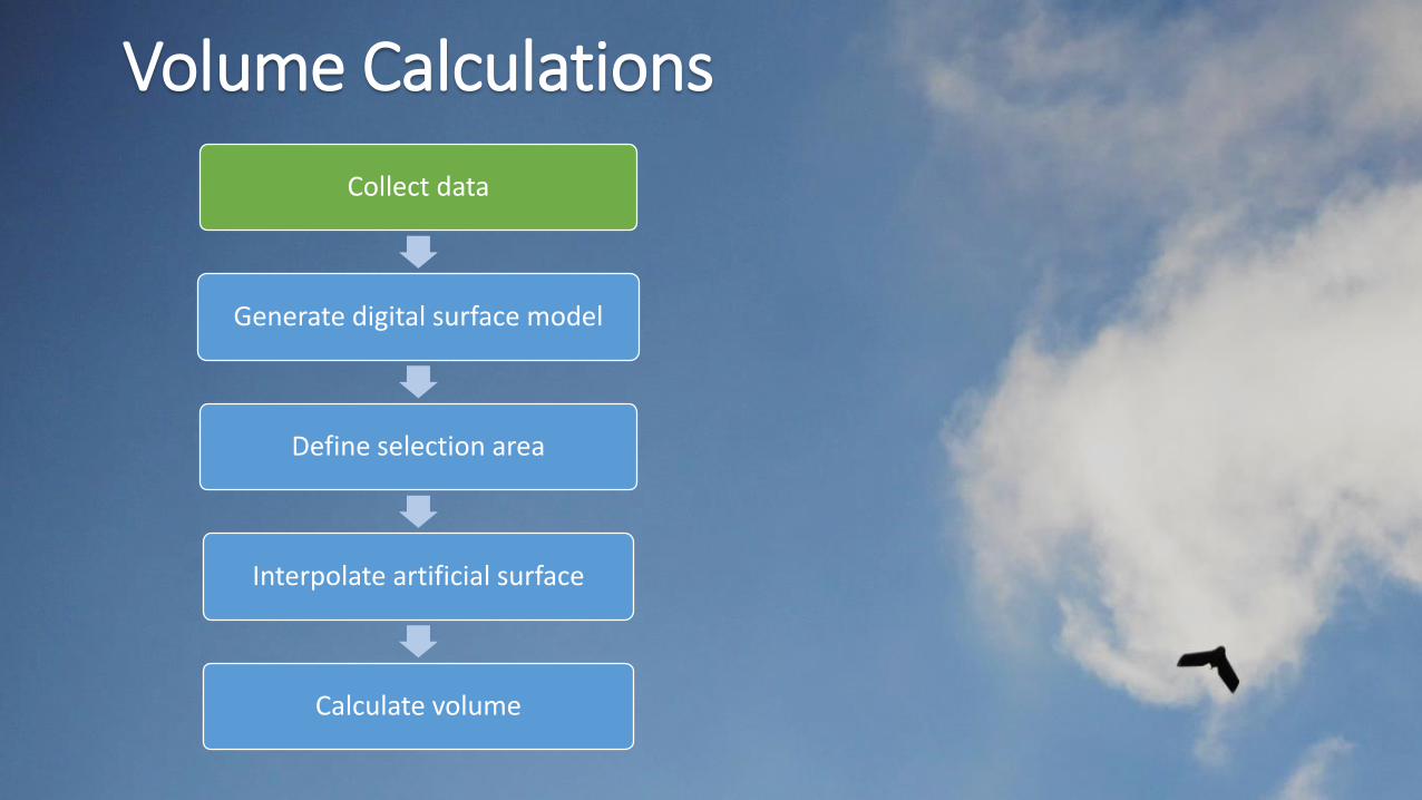
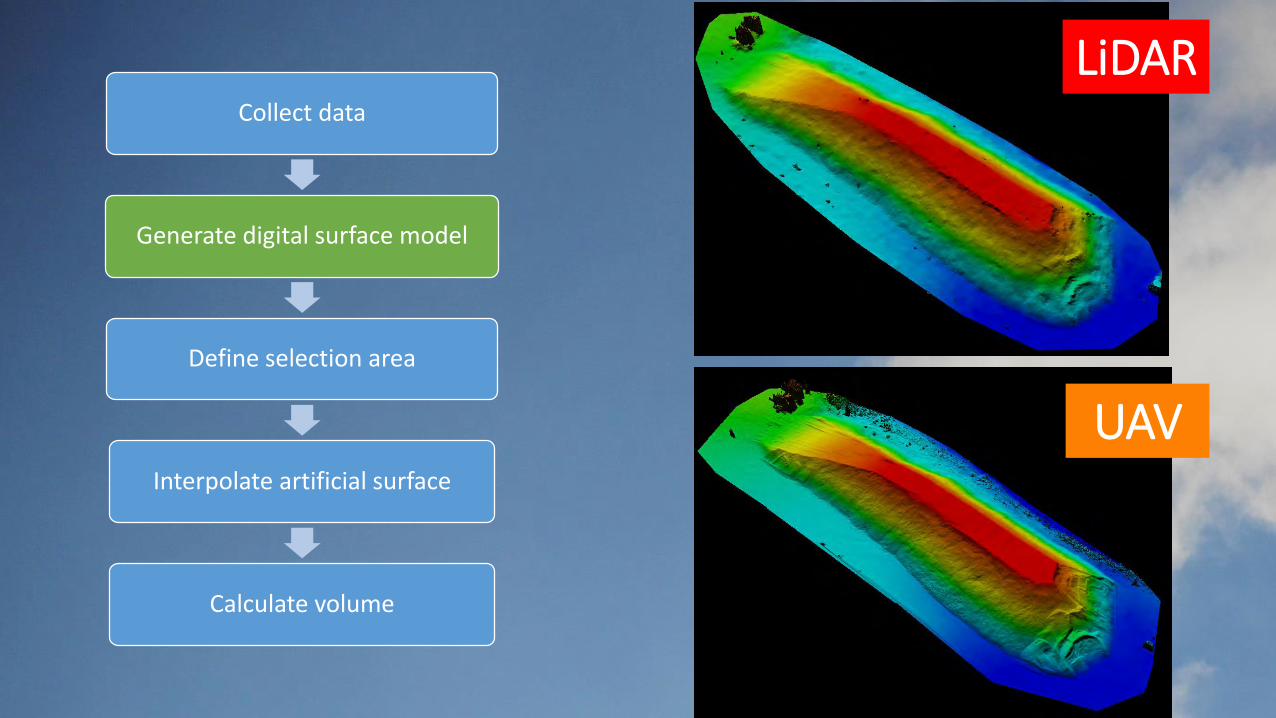
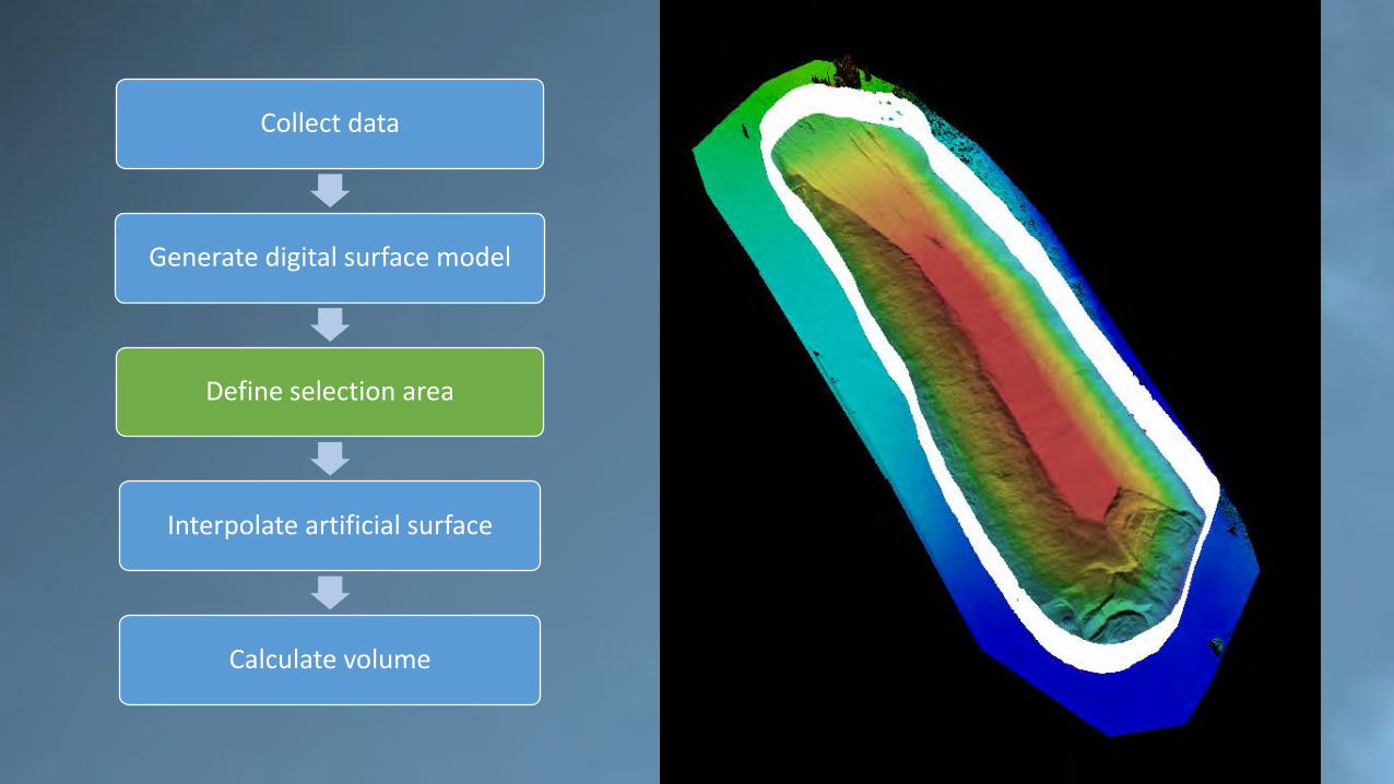
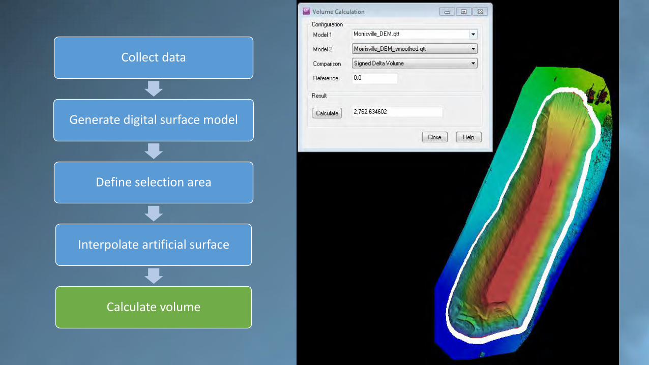
Collect data
Generate digital surface model
Define selection area
Interpolate artificial surface
Calculate volume
Volume Calculations
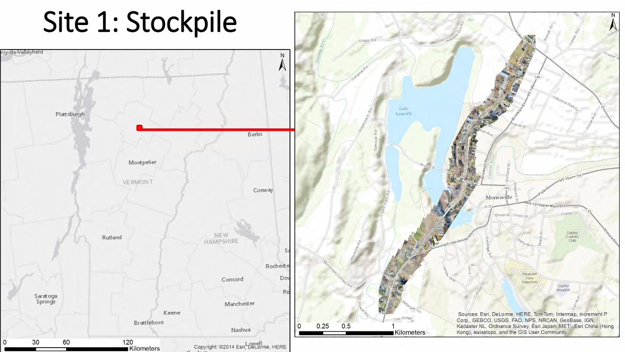
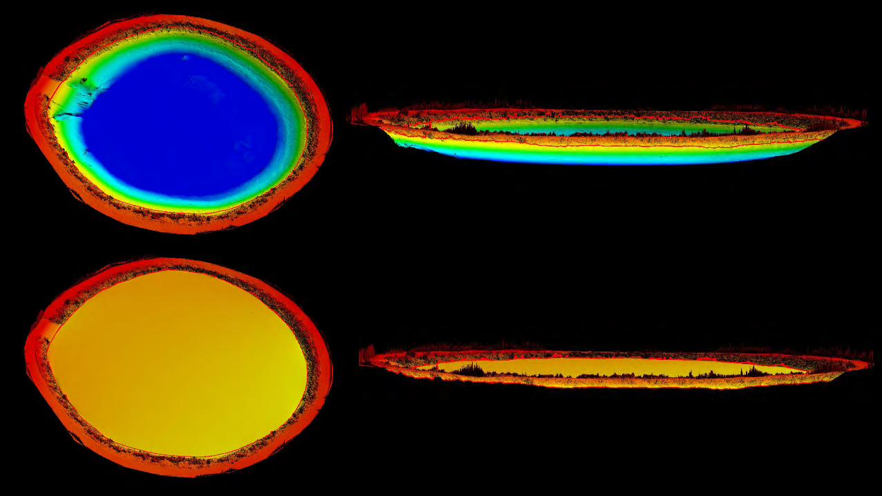
Site 1: Stockpile
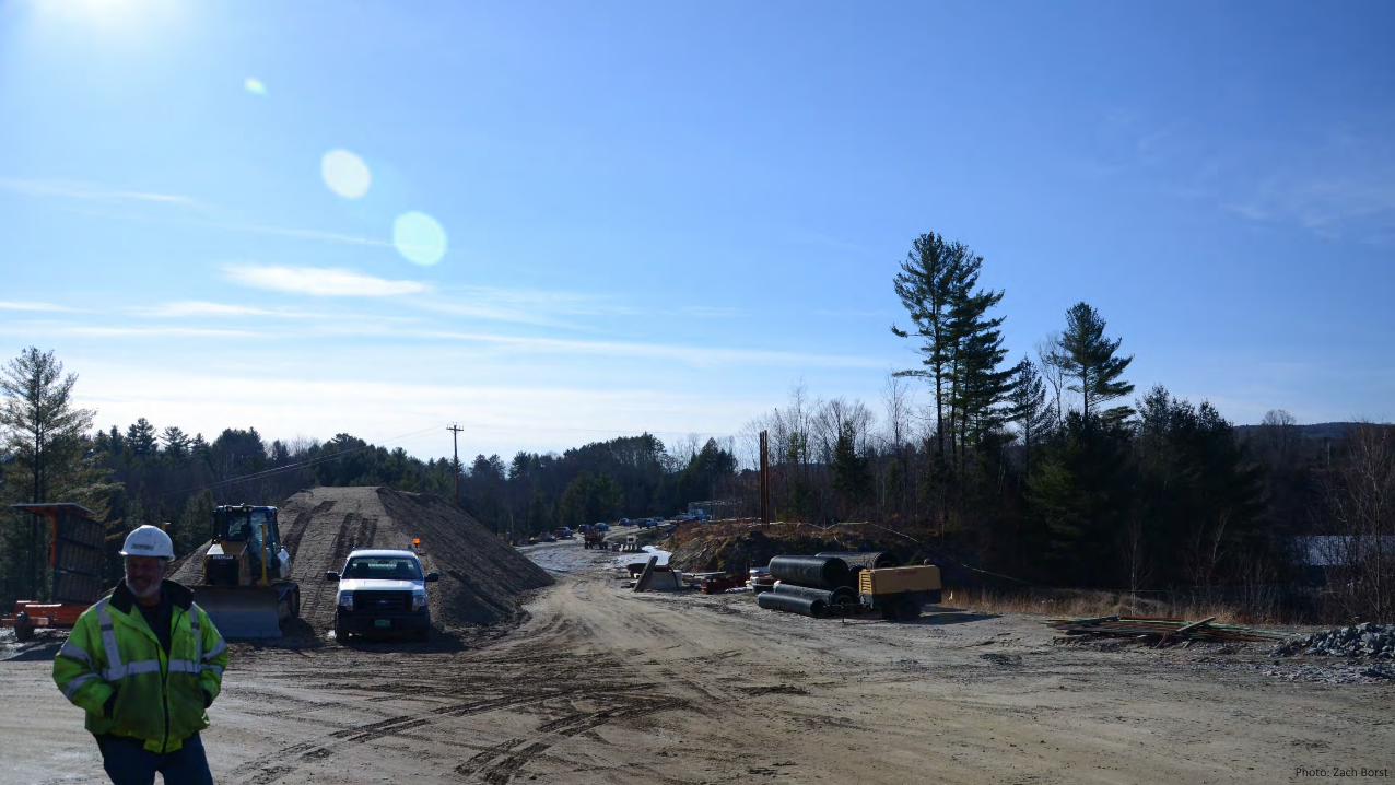
Photo: Zach Borst
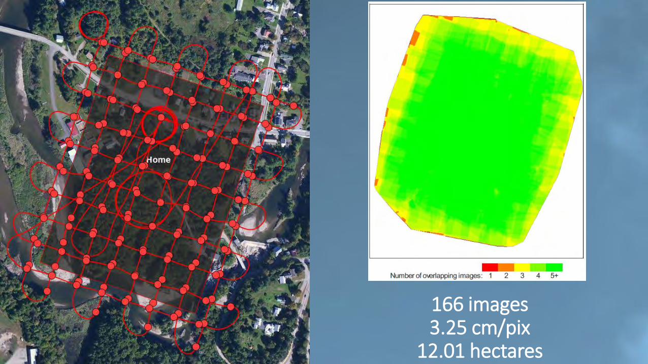
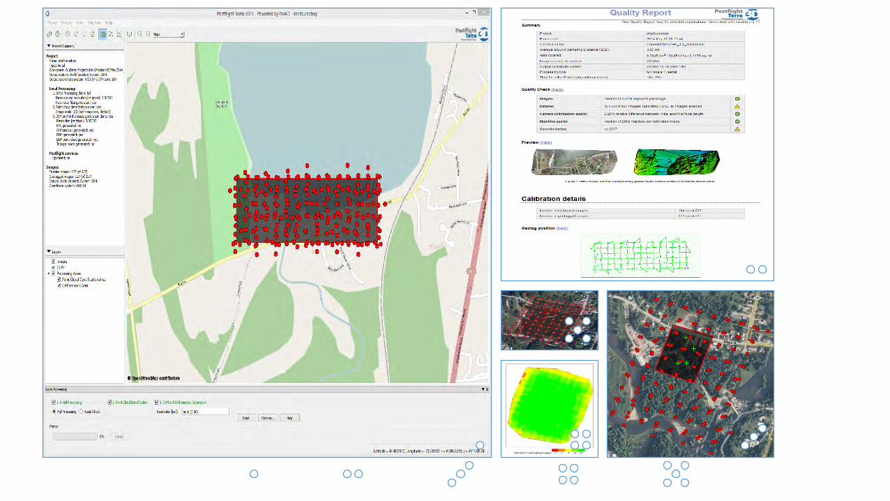
166 images3.25 cm/pix
12.01 hectares
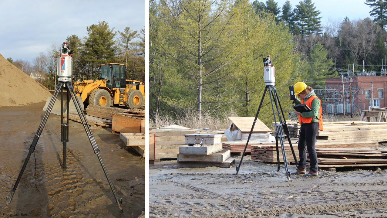
Photo: Zach Borst
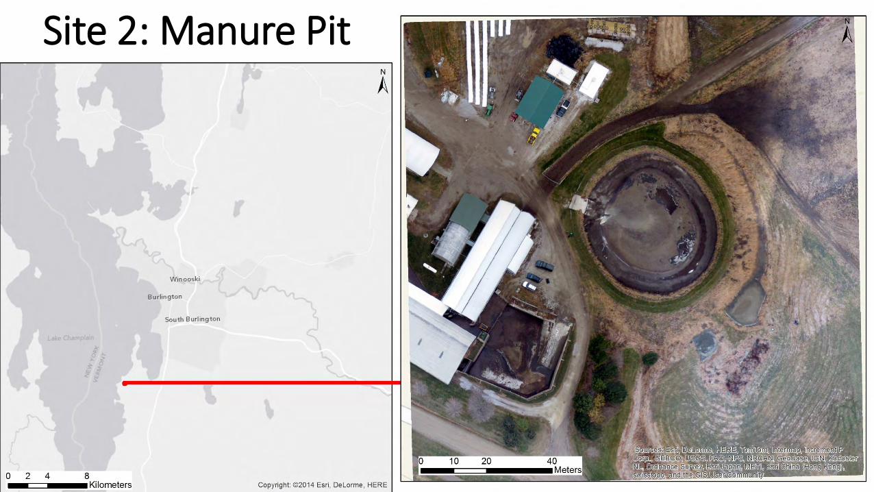
Site 2: Manure Pit
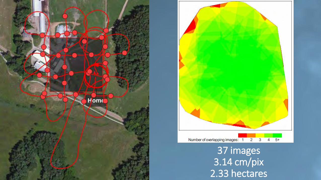
37 images3.14 cm/pix
2.33 hectares
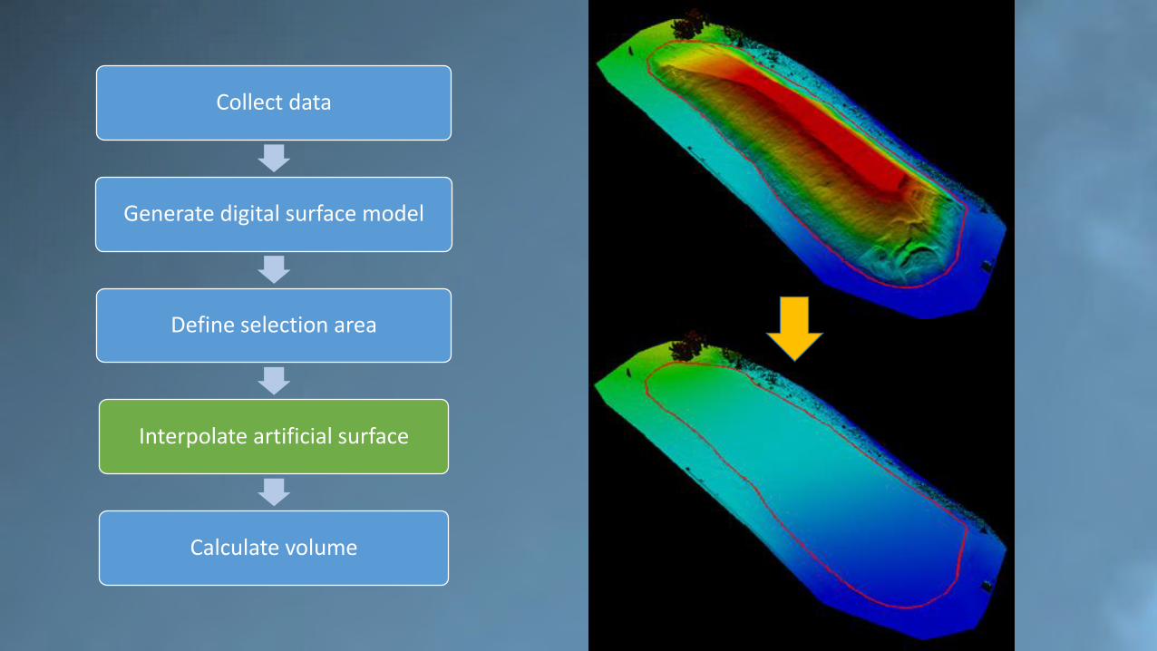
Collect data
Generate digital surface model
Define selection area
Interpolate artificial surface
Calculate volume
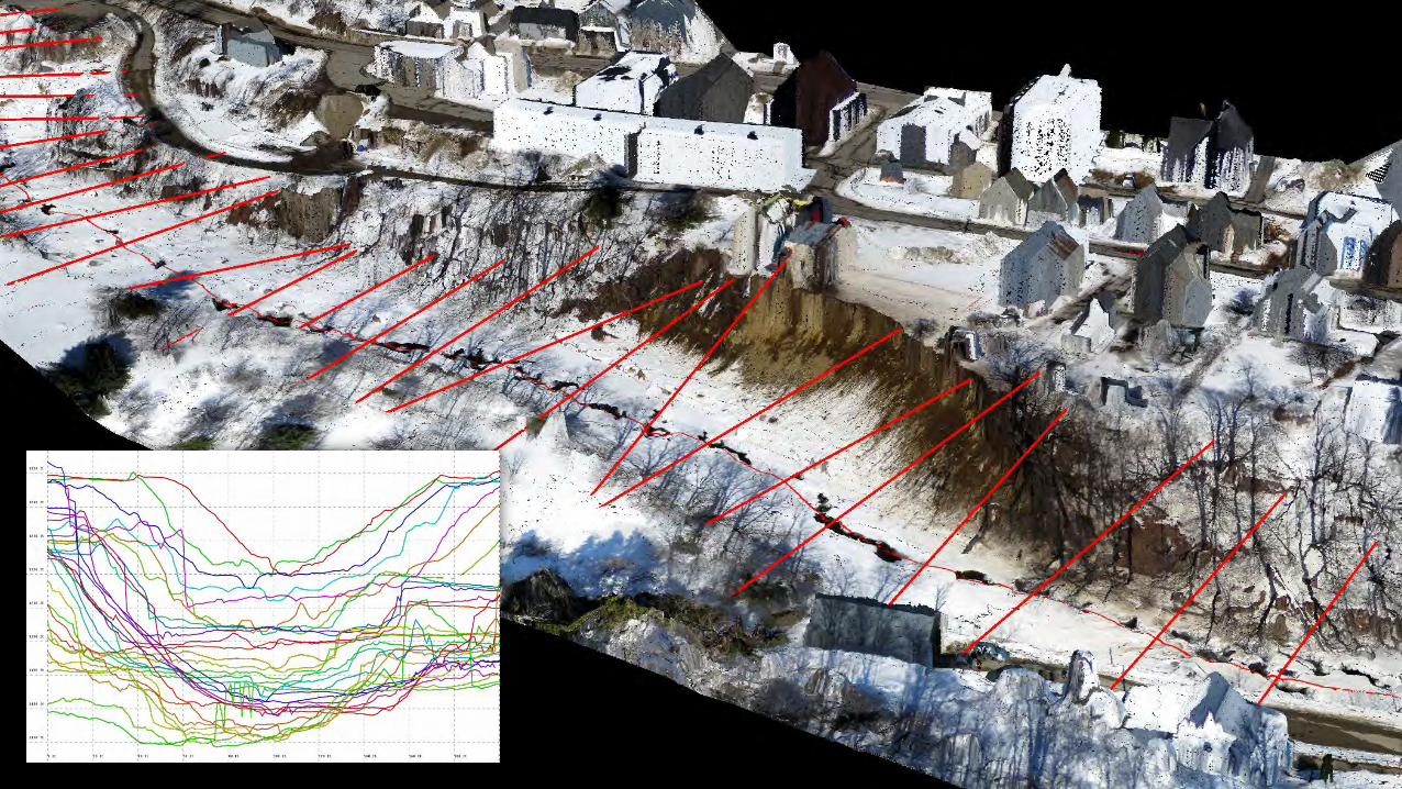
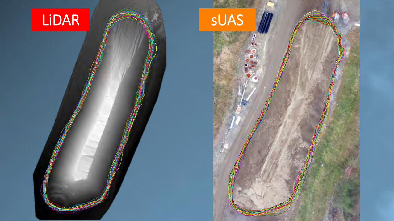
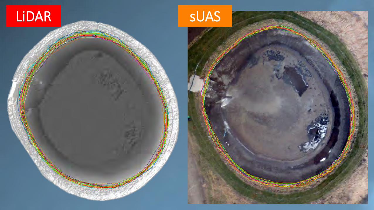
LiDAR
UAV

Collect data
Generate digital surface model
Define selection area
Interpolate artificial surface
Calculate volume
LiDAR
UAV
Collect data
Generate digital surface model
Define selection area
Interpolate artificial surface
Calculate volume
LiDAR sUAS
LiDAR sUAS
Collect data
Generate digital surface model
Define selection area
Interpolate artificial surface
Calculate volume
Collect data
Generate digital surface model
Define selection area
Interpolate artificial surface
Calculate volume
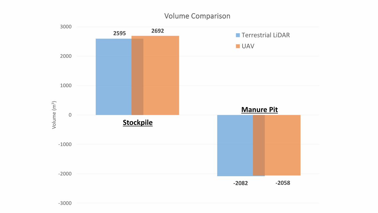
2595
-2082
2692
-2058
-3000
-2000
-1000
0
1000
2000
3000
Vo
lum
e (m
3)
Volume Comparison
Terrestrial LiDAR
UAV
Manure Pit
Stockpile
Unmanned Aerial Vehicles (UAV) for Disaster Response and Recovery
Jarlath O’Neil-Dunne & Adam Zylka
University of Vermont
DISCLAIMER: The views, opinions, findings and conclusions reflected in this presentation are the responsibility of the authors only and do not represent the official policy or position of the USDOT/RITA, or any State or other entity.