The Web, cartography and information delivery
51
The Web, cartography and information delivery William Cartwright
Transcript of The Web, cartography and information delivery

The Web, cartography and information delivery
William Cartwright

Concepts and developments

Agostino Ramelli– circa 1600
‘scholar's workstation‘Vannevar Bush
– Post WWIIMEMEX
Douglas Engelbart– Early 1960s
On-Line System (NLS)William Gibson
– Mid 1980sCyberspace
Ted Nelson– Mid 1980s
HypertextTim Berners-Lee
– 1990 World Wide Web
Marc Andreessen– 1993/1994
Mosaic/Netscape

Founding ideas

VideodiscVIDEODISCThe Aspen Movie Map– The Machine Architecture
Group, MIT– Later the Media Lab
Domesday Project – BBC/– Acorn Computers/– Philips

WebWeb and
Geographical Information

http://navigators.com

Internet 2Usage - Domains
http://www.domainstats.com/

http://navigators.com/statdom.gif

Internetuse –HOMEmonthly
http://epm.netratings.com/au/web/NRpublicreports.usagemonthly

Internetuse –HOME andWORKmonthly
http://epm.netratings.com/au/web/nrpublicreports.usagemonthly

http://www.glreach.com/globstats/index.php3

Internet 2Usage –Internet traffic
http://www.internettrafficreport.com//

Mapping and New Media
Spatial storehousesSpatial decision support systemsMultimedia packages incorporating mapsEducational packages

Mapping and New Media
Image CollectionsDownloadable data filesInformation Services with mapsGlobal publishing housesOn-line GISOn-line mapsWeb atlasesLocation-based services
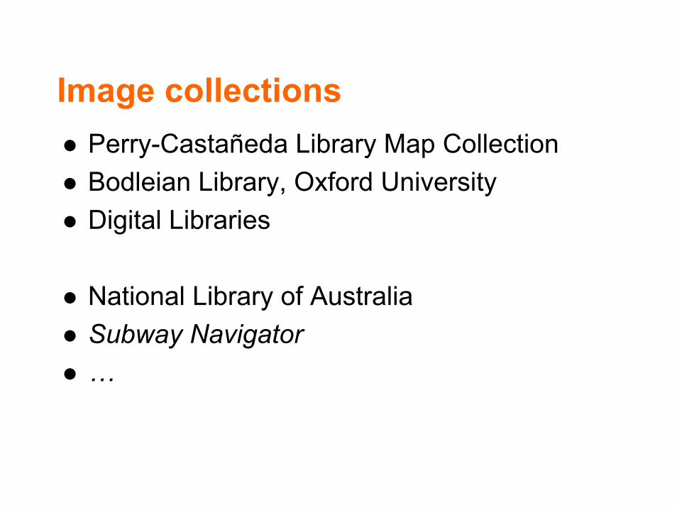
Image collectionsPerry-Castañeda Library Map CollectionBodleian Library, Oxford UniversityDigital Libraries
National Library of AustraliaSubway Navigator…


Digital Geographical Information Libraries
Netherlands DigitialSpatial Information Library - GeoPlazaHistory of Cartography ProjectAlexandria Digital Library

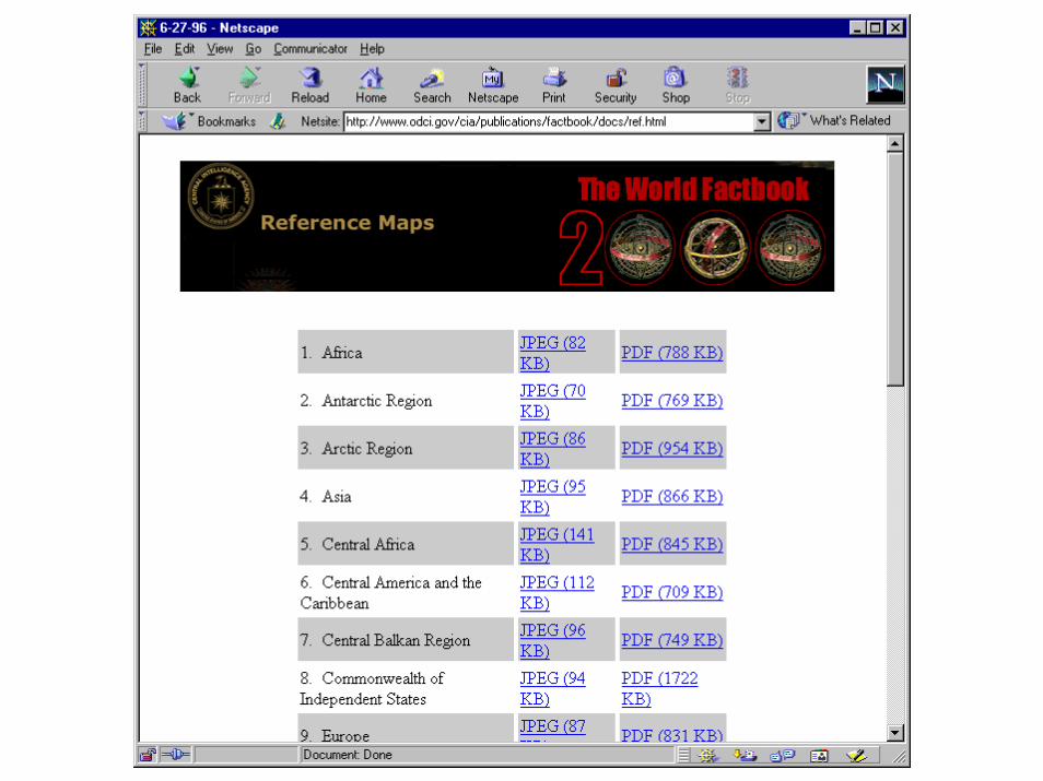
Downloadable data filesUnited States Geological Survey (USGS)National Mapping, AustraliaNRSMap MakerAlexandria Digital Library (ADL)…


Information services with mapsBusiness geographicsTravel Guides: Lonely Planet, Moon, Rough Guides, …


Global Publishing
International publishinghousesNewspapersBusinessesDelivery– Own communications satellites– Host satellite (eg WestStar)– Web
Electronic distribution / local printing

On-line Geographic Information Systems (GIS)
ESRIGenasysMapInfo…

On-line maps
Delorme CyberRouterXEROX PARC Map ServerMapQuest Interactive AtlasFalkShell…


Journey Plannershttp://beta.mapquest.com/
http://www.shellgeostar.com/shellgeostar/start.hm
http://www.falk-online.de/go_routing.html
http://www.geotalk.de/rout_demo.html
http://www.vicinity.com/yt.hm?CMD=FILL&SEC=cnnguide&FAM=cnn

Web atlasesAustralian Coastal AtlasNational Atlas of Canada Atlas of QuebecAtlas of SwitzerlandUnderstandingUSAAtlas of AustriaAtlas of USA
EncartaDelorme CybermapsNational Geographic Map MachineCoastal Atlas of Australia…


Web Atlases

Understanding USA
http://www.understandingusa.com/chaptercc=10&cs=222.html

Paper support – on demand

Location-based services

Design considerations
http://www.mapquest.com
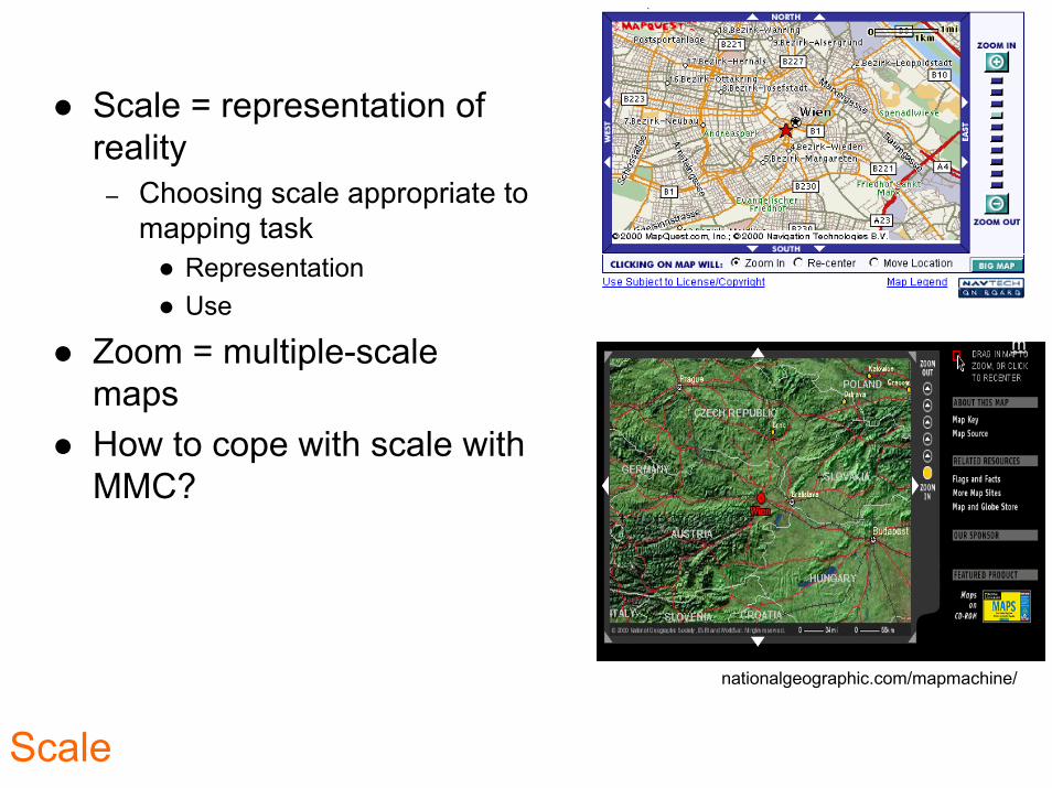
Scale = representation of reality
– Choosing scale appropriate to mapping task
RepresentationUse
Zoom = multiple-scale mapsHow to cope with scale with MMC?
http://plasma.nationalgeographic.com/mapmachine/
Scale

AbsoluteRelative
– Which space?Providing information to the user regarding where they really are!
– Web cams?
http://service.magwien.gv.at/camera/livecam.html
Location
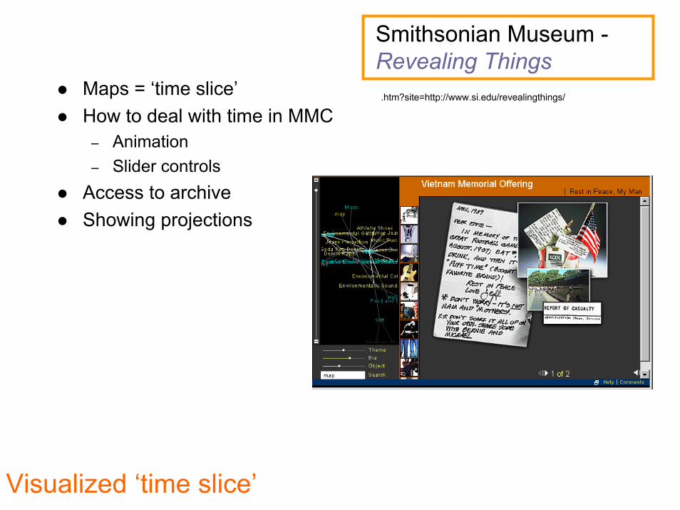
Smithsonian Museum -Revealing Thingshttp://www.animation.about.com/arts/animation/gi/dynamic/offsite.htm?site=http://www.si.edu/revealingthings/Maps = ‘time slice’
How to deal with time in MMC– Animation– Slider controls
Access to archiveShowing projections
Visualized ‘time slice’

IntegrityReputable sourceMetadataAccuracy– Limit of accuracy– Accuracy across all of presentation– Dealing with varying degrees of accuracy
‘Maps as accurate representations’

Universities / research establishmentsGeneral publicDisabled
Visually handicapped– Including ‘translations’
from graphics into audio for the blind
W3C Accessibility InitiativeMovement handicapped
– is users only able to make gross movements
Access

Different users

Geographical Storytelling

Putting it together - concept

Build
I’face
Commands
GeoViz
Builder
Archival
Info
(ROM?)
Paper Screen Hybrid Output specifications
USER
I’FACE
T
O
O
L
S
Current
Info
(WWW)
Dynamic Update
(WWW)
Ground
Truth
(WebCam)
PUBLIC
DATABASE
DATA
COLLECTION
SERVICES
eg weather
WebCams
For data integrity
CONTRIBUTOR
DATABASE
P
R
O
V
I
D
E
R
F
I
L
T
E
R
Interrogate devices and preferences
Access to tools for GeoViz assembly
U
S
E
R