Simpsons Gap bicycle path map - NT.GOV.AU · The Path Experience the arid Central Australian...
2
The Path Experience the arid Central Australian landscape in an enjoyable and different way along the Simpsons Gap Bicycle Path. This sealed path meanders for 17 km cross-country through attractive bushland between Flynn’s Grave and Simpsons Gap. With generally easy grades, it is a relaxing and scenic ride for visitors of all ages. Easily accessible on the western outskirts of Alice Springs, the path is great for residents seeking a short ride after school or work or as a long weekend exploration. For tourists, it is a unique way to safely explore and enjoy the natural environment around the town. For your enjoyment Vantage points provide panoramic views of the hills and ranges encircling Alice Springs. The path winds from creek-side woodlands of River Red Gums, through Mulga and Witchetty Bush groves, to exposed rocky hills. Cycling slowly and quietly enables close encounters with wildlife, particularly lizards and birds, usually seen in the early morning or late afternoon. The low light during these times also provides the best opportunity to appreciate and photograph the changing colours of the MacDonnell Ranges. Information signs along the path explain aspects of the area’s fascinating natural and scenic features. They are a great place to rest your legs and discover more about the surroundings. The path is open during daylight hours only, as Simpsons Gap closes at 8 pm. Camping is not permitted in the Park. Getting there Opposite Flynn’s Grave the path connects into the town bicycle path network, which is a 7 km ride from the centre of Alice Springs. You can ‘drive and ride’, using the car parks at either end of the path. How long does it take? Adult cyclists of average fitness should be able to complete the one-way 17 km trip between Flynn’s Grave and Simpsons Gap in one to two hours. Family groups or people seeking a more relaxed exploration should allow three to four hours for a full one-way journey. Plan your ride to suit your abilities, needs and available time. Four small rest areas (with minimal facilities) located along the path are pleasant picnic stops or places to pause and appreciate the bush. Detailed route information is on the map overleaf. You can combine the path, Simpsons Gap and Larapinta Drive for a round trip. Larapinta Drive is a busy, high-speed road and not recommended for family groups. The total distance from the Alice Springs town centre, along the bike path and the return trip to town along Larapinta Drive is 41 km. Simpsons Gap Bicycle Path Pedal the Park Parks & Wildlife Commission of the Northern Territory Simpsons Gap Ranger Station Regional Office - Tom Hare Building Ph: (08) 8955 0310 Sth Stuart Highway ALICE SPRINGS NT 0870 PO Box 1120 ALICE SPRINGS NT 0871 www.parksandwildlife.nt.gov.au Ph: (08) 8951 8250 Safety and Comfort • The cooler months from April to October are more pleasant for cycling. Do not cycle in hot weather as heat stress can be dangerous, even fatal. • Wear sunscreen, a hat and loose- fitting cotton clothing. • Carry and drink plenty of water. • A helmet and sturdy footwear is essential for safe cycling. • Please pass other visitors with care and warn them of your approach. • Children should be closely supervised at all times. • Sharp bends, floodways, dips, crests and possible obstacles such as fallen branches or gravel make speeding dangerous, so go slow! • Take a bike pump and puncture repair kit. Please Remember • Keep to the path. This helps limit soil disturbance and environmental damage. ‘Off- path’ riding is dangerous, and you are assured of punctures from sharp sticks and large prickles. • Bins are not provided. Please take your rubbish with you. • Fires are not permitted • All historic, cultural items and wildlife are protected. • Pets are not permitted in the Park.
Transcript of Simpsons Gap bicycle path map - NT.GOV.AU · The Path Experience the arid Central Australian...
The PathExperience the arid Central Australian landscape in an enjoyable and different way along the Simpsons Gap Bicycle Path.This sealed path meanders for 17 km cross-country through attractive bushland between Flynn’s Grave and Simpsons Gap. With generally easy grades, it is a relaxing and scenic ride for visitors of all ages.Easily accessible on the western outskirts of Alice Springs, the path is great for residents seeking a short ride after school or work or as a long weekend exploration. For tourists, it is a unique way to safely explore and enjoy the natural environment around the town.For your enjoymentVantage points provide panoramic views of the hills and ranges encircling Alice Springs. The path winds from creek-side woodlands of River Red Gums, through Mulga and Witchetty Bush groves, to exposed rocky hills.Cycling slowly and quietly enables close encounters with wildlife, particularly lizards and birds, usually seen in the early morning or late afternoon. The low light during these times also provides the best opportunity to appreciate and photograph the changing colours of the MacDonnell Ranges.Information signs along the path explain aspects of the area’s fascinating natural and scenic features. They are a great place to rest your legs and discover more about the surroundings. The path is open during daylight hours
only, as Simpsons Gap closes at 8 pm. Camping is not permitted in the Park.
Getting thereOpposite Flynn’s Grave the path connects into the town bicycle path network, which is a 7 km ride from the centre of Alice Springs. You can ‘drive and ride’, using the car parks at either end of the path.How long does it take?Adult cyclists of average fitness should be able to complete the one-way 17 km trip between Flynn’s Grave and Simpsons Gap in one to two hours. Family groups or people seeking a more relaxed exploration should allow three to four hours for a full one-way journey. Plan your ride to suit your abilities, needs and available time.Four small rest areas (with minimal facilities) located along the path are pleasant picnic stops or places to pause and appreciate the bush.
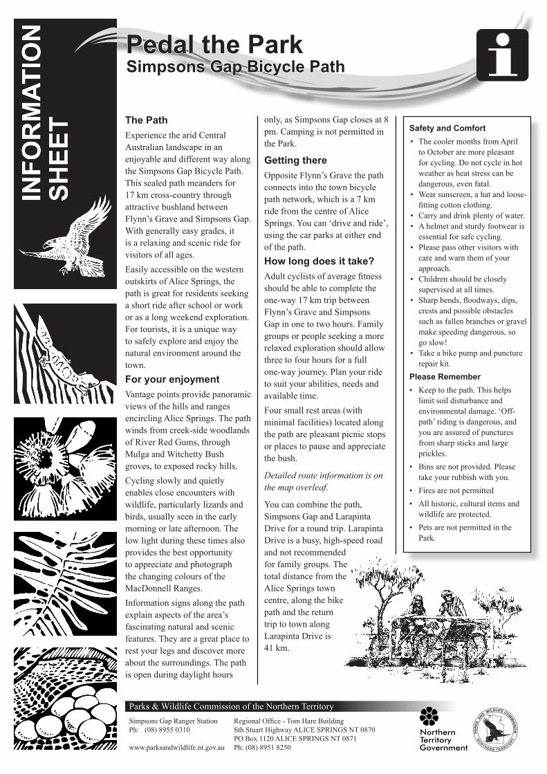
Detailed route information is on the map overleaf.
You can combine the path, Simpsons Gap and Larapinta Drive for a round trip. Larapinta Drive is a busy, high-speed road and not recommended for family groups. The total distance from the Alice Springs town centre, along the bike path and the return trip to town along Larapinta Drive is 41 km.
Simpsons Gap Bicycle Path Pedal the Park
Parks & Wildlife Commission of the Northern TerritorySimpsons Gap Ranger Station Regional Office - Tom Hare BuildingPh: (08) 8955 0310 Sth Stuart Highway ALICE SPRINGS NT 0870 PO Box 1120 ALICE SPRINGS NT 0871www.parksandwildlife.nt.gov.au Ph: (08) 8951 8250
Safety and Comfort• The cooler months from April
to October are more pleasant for cycling. Do not cycle in hot weather as heat stress can be dangerous, even fatal.
• Wear sunscreen, a hat and loose-fitting cotton clothing.
• Carry and drink plenty of water.• A helmet and sturdy footwear is
essential for safe cycling.• Please pass other visitors with
care and warn them of your approach.
• Children should be closely supervised at all times.
• Sharp bends, floodways, dips, crests and possible obstacles such as fallen branches or gravel make speeding dangerous, so go slow!
• Take a bike pump and puncture repair kit.
Please Remember• Keep to the path. This helps
limit soil disturbance and environmental damage. ‘Off-path’ riding is dangerous, and you are assured of punctures from sharp sticks and large prickles.
• Bins are not provided. Please take your rubbish with you.
• Fires are not permitted• All historic, cultural items and
wildlife are protected.• Pets are not permitted in the
Park.

Pedal the Park -Simpsons Gap Bicycle Path
A/11/2015PWCNT Information SheetFor more information visit www.parksandwildlife.nt.gov.au or contact Tourism Central Australia 1800 645 199 or (08) 8952 5800 www.discovercentralaustralia.com
Visi
tor C
entre
ToAl
ice
Sprin
gs7
kmD
rive
Cas
sia
Hill
Wal
kM
ulga
Val
ley
Lara
pint
a Tr
ail
(Sec
tion
1)
Creek
Ent
ry G
rid
Tea
Tree
C
reek
Wal
laby
Cre
ek
The
Kno
ll
Flyn
n's
Gra
ve
Mt.
Gill
en
Larapinta
Roe
Rock
y
Cre
ek
Run
gutji
rba
Rid
ge
To G
len
Hel
en &
Her
man
nsbu
rg
0 km
3.5
km
4 km
4.5
km
8.5
km
12 k
m
17 k
m
This
eas
y 1k
m lo
op w
alk
to th
e su
mm
it of
Cas
sia
Hill
is a
goo
d op
portu
nity
to ta
ke
a br
eak
from
cyc
ling
whi
le
lear
ning
mor
e ab
out t
he
loca
l flo
ra.
Cas
sia
Hill
Wal
k
Park
ope
n5a
m -
8pm
dai
ly
Sim
pson
s G
ap
4 km
3 km
2.5
km
Bike
Pat
h
Lara
pint
a Tr
ail
Wal
king
Tra
ck
Maj
or D
rain
age
Seal
ed R
oad
4WD
Tra
ckEm
erge
ncy
Use
Onl
y
Dis
tanc
e (k
m) f
rom
Fly
nn's
G
rave
to re
st s
tops
and
ot
her m
ajor
poi
nts
3.5
km
Wes
t Mac
Don
nell
Nat
iona
lPa
rk B
ound
ary
Sim
pson
s G
ap -
Faci
litie
s &
Act
iviti
es
Shor
t Wal
ks
Gas
BB
Q
Drin
king
Wat
er
Info
rmat
ion
Toile
ts
Picn
ic F
acilit
ies
Ove
rnig
ht W
alks
Whe
elch
air A
cces
s
Look
outs
Park
ing
Are
a
Bicy
cle
Path
Ran
ger S
tatio
n
02
1
Kilo
met
res
Emer
genc
y U
se O
nly