SERVICES ENABLED BY HIGN ALTITUDE PSEUDO SATELLITES …
22
SERVICES ENABLED BY HIGN ALTITUDE PSEUDO SATELLITES (HAPS) COMPLEMENTED BY SATELLITES : Webinar 15/09/2017 Rita Rinaldo, Laurence Duquerroy Downstream Business Applications Department - ESA Ref. ESA-TIAA-HO-2017-1162
Transcript of SERVICES ENABLED BY HIGN ALTITUDE PSEUDO SATELLITES …

SERVICES ENABLED BY HIGN ALTITUDE PSEUDO SATELLITES (HAPS) COMPLEMENTED BY SATELLITES : Webinar
15/09/2017 Rita Rinaldo, Laurence Duquerroy
Downstream Business Applications Department - ESA
Ref. ESA-TIAA-HO-2017-1162

AGENDA
o ESA overview o What ESA Business Applications offers o Background on HAPS applications o ESA Initiative on HAPS o HAPS Feasibility Study overview o Eligibility o Open Questions & Answers session

- Welcome to participants - Guidelines how/when to interact during the WebEx session:
- Due to the number of attendees, please keep your microphones muted at all times
- You can use the chat function anytime to submit your questions to Laurence Duquerroy. They will be addressed during the Q&A at the end of the Webinar
WELCOME BY ESA

Purpose of ESA
“To provide for and promote, for exclusively peaceful purposes, cooperation among European states in
space research and technology and their space applications.”
Article 2 of ESA Convention

ESA facts and figures
Over 50 years of experience
22 Member States
Eight facilities in Europe, about 2300 staff
5.75 billion Euro budget (2017)
Over 80 satellites designed, tested and operated in flight

ESA Business Applications - our goal
“We want space to be part of the set of technologies used in
everyday business”

Earth Observation
Satellite Communication
Satellite Navigation
Space Weather
Human Space Flight
Technology
We enable and support the development of business applications
that uses any space assets for services on Earth
Presenter
Presentation Notes
IAP mission: space 4 daily life Develop sustainable applications and services, for every day life In close partnership with end users Utilize existing space assets (satellites that are already flying) Integrating space and non-space technologies

What we offer ESA Business Applications

User Demand
Feasibility Study Demo Operational
Service
User with demand but no contact to industry
Contact us:
• business.esa.int
• conferences
• ambassadors
• call for user ideas
Funding by ESA:
• 100% - ESA initiated activities in close collaboration with users / customers
• 50% 1/2 - Partner / industry initiated activities in close collaboration with users / customers
• 75% Kick-Start Activities: 60 k€ per activity theme calls by ESA
Funding by ESA:
• 50% 1 – Partner / industry initiated activities in close collaboration with users / customers
ESA Business Application involvement
Support etc.
1) Funding for SMEs up to 75%, decision of funding level by national delegations
2) For Feasibility Studies only: Work carried out by universities and research institutes and justifying no further commercial interest in the final solution may be funded 100% by the Agency
How is this implemented?
ESA Downstream Business Applications
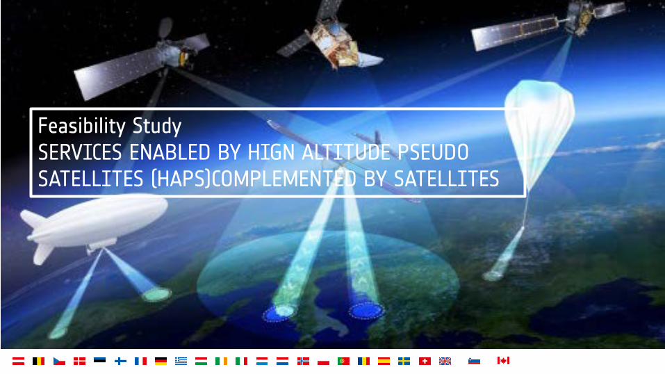
Feasibility Study SERVICES ENABLED BY HIGN ALTITUDE PSEUDO SATELLITES (HAPS)COMPLEMENTED BY SATELLITES

Background
Significant uptake of HAPS is expected in the medium/long term (Market volume for HAPS is estimated to grow at 11% CAGR attaining over USD 7 billion by 2024 1)
HAPS could offer advantages and complementary applications over satellites, terrestrial infrastructures and Remotely Piloted Aircraft Systems (RPAS), at relatively low cost.
The use of HAPS is considered for a variety of applications, such as maritime and land surveillance, environmental monitoring, land border control applications, telecommunications, emergency/public safety communications, intelligent transportation systems, etc
A number of HAPS development projects have recently reached more advanced development stages in particular in Europe, which indicates that first operational services could be expected by 2018 - 2023.
HAPS are aircraft positioned above 20 km altitude, in the stratosphere, for very-long-duration flights counted in months and even years. These unmanned aircraft may be airplanes, airships or balloons.
1 https://www.gminsights.com/industry-analysis/high-altitude-platform-hap-market

ESA HAPS Initiative
/
The European Space Agency has recently initiated a number of activities in view of preparing an ESA programme for HAPS for the next Council Ministerial in 2019. These activities are aimed at getting an understanding of: • technology gaps, • user communities’ requirements, • market opportunities • industry expectations • technical and business risks • regularity risks, constraints and needed actions • etc Next event : Workshop “Towards an ESA Stratospheric High Altitude Pseudo-Satellites (HAPS)” http://www.haps4esa.org 09 - 10 October 2017, NH Leeuwenhorst Hotel, Noordwijkerhout, The Netherlands
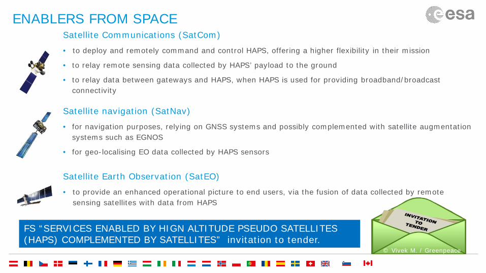
ENABLERS FROM SPACE Satellite Communications (SatCom)
• to deploy and remotely command and control HAPS, offering a higher flexibility in their mission
• to relay remote sensing data collected by HAPS’ payload to the ground
• to relay data between gateways and HAPS, when HAPS is used for providing broadband/broadcast connectivity
Satellite navigation (SatNav)
• for navigation purposes, relying on GNSS systems and possibly complemented with satellite augmentation systems such as EGNOS
• for geo-localising EO data collected by HAPS sensors
Satellite Earth Observation (SatEO)
• to provide an enhanced operational picture to end users, via the fusion of data collected by remote sensing satellites with data from HAPS
FS “SERVICES ENABLED BY HIGN ALTITUDE PSEUDO SATELLITES (HAPS) COMPLEMENTED BY SATELLITES” invitation to tender.
© Vivek M. / Greenpeace
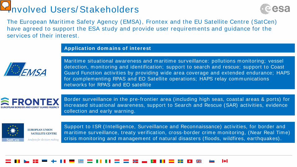
Involved Users/Stakeholders The European Maritime Safety Agency (EMSA), Frontex and the EU Satellite Centre (SatCen) have agreed to support the ESA study and provide user requirements and guidance for the services of their interest.
Support to ISR (Intelligence, Surveillance and Reconnaissance) activities, for border and maritime surveillance, treaty verification, cross-border crime monitoring, (Near Real Time) crisis monitoring and management of natural disasters (floods, wildfires, earthquakes).
Border surveillance in the pre-frontier area (including high seas, coastal areas & ports) for increased situational awareness, support to Search and Rescue (SAR) activities, evidence collection and early warning.
Application domains of interest
Maritime situational awareness and maritime surveillance: pollutions monitoring; vessel detection, monitoring and identification; support to search and rescue; support to Coast Guard Function activities by providing wide area coverage and extended endurance; HAPS for complementing RPAS and EO Satellite operations; HAPS relay communications networks for RPAS and EO satellite
Presenter
Presentation Notes
Established in 1951, IOM is the leading inter-governmental organization in the field of migration and works closely with governmental, intergovernmental and non-governmental partners. With 162 member states, a further 9 states holding observer status and offices in over 100 countries, IOM is dedicated to promoting humane and orderly migration for the benefit of all. It does so by providing services and advice to governments and migrants. IOM works to help ensure the orderly and humane management of migration, to promote international cooperation on migration issues, to assist in the search for practical solutions to migration problems and to provide humanitarian assistance to migrants in need, including refugees and internally displaced people. The Centre was founded in 1992 and incorporated as an agency into the European Union on 1 January 2002. The Centre supports the decision making of the European Union in the field of the Common Foreign and Security Policy (CFSP), in particular the Common Security and Defence Policy (CSDP), including European Union crisis management missions and operations, by providing products and services resulting from the exploitation of relevant space assets and collateral data, including satellite imagery and aerial imagery, and related services.

Other examples of domains of application
• Emergency communications • Broadband Access • Mobile internet- 5G type applications • Communications for Intelligent Transportation Systems.
• Air pollution monitoring • Humanitarian operations • Forestry, fisheries, etc, monitoring
• GNSS Augmentation support • Navigation support
Telecommunications
applications
EO applications
Navigation applications

Feasibility study objectives
o Identify, define and assess technically and economically potentially sustainable
services relying on HAPS complemented by satellites
o Identify and reduce technical and commercial risks related to the implementation of these services
o Consolidate user /customers requirements and engage with relevant customers
and other stakeholders for further involvement
o Propose recommendations and define a roadmap for service(s) implementation and demonstration, and prepare a potential follow-on demonstration project

Contractor team should be interested in developing and commercialising considered services and have relevant capabilities. Involvement of potential service provider in the project team will be an asset.
Main requirements
Services having the potential to be implemented operationally and become sustainable by 2018-2023 (preliminary business case identified).
Involvement of at least one space asset (SatNav, SatCom, SatEO)
Study focused on a reduced number of services (max.3)
Customer/user-driven study (user involvement required)
• Bidders interested in studying services of interest for EMSA, Frontex or/and SatCen are asked to perform a pre-assessment of their needs and requirements in their proposal.
• Bidders may also target other application domains/services and engage with different potential users/customers (User letter(s) of interest to be provided in the proposal)

Tasks and key facts
100% funding, €200k Duration: 9 months Several parallel contracts possible
Main tasks
• User/customer consolidation and user requirements definition
• Service and System Definition
• Viability analysis (economic and non-economic aspects)
• Implementation roadmap

Funding eligibility - Open to any organisation, residing in any of those states that
subscribed to the ARTES IAP programme (to date: Austria, Belgium, Czech Republic, Denmark, Finland, France, Germany, Greece, Ireland, Italy, Luxemburg, The Netherlands, Norway, Poland, Portugal, Romania, Sweden, Switzerland and the United Kingdom)
- Letter of Authorisation from bidding team’s national delegation(s) is needed and must be submitted as part of the Bidder’s proposal. Without this letter, the proposal is not eligible.
- The contacts of the National Delegations can be found at https://business.esa.int/national-delegations
Presenter
Presentation Notes
Established in 1951, IOM is the leading inter-governmental organization in the field of migration and works closely with governmental, intergovernmental and non-governmental partners. With 162 member states, a further 9 states holding observer status and offices in over 100 countries, IOM is dedicated to promoting humane and orderly migration for the benefit of all. It does so by providing services and advice to governments and migrants. IOM works to help ensure the orderly and humane management of migration, to promote international cooperation on migration issues, to assist in the search for practical solutions to migration problems and to provide humanitarian assistance to migrants in need, including refugees and internally displaced people. The Centre was founded in 1992 and incorporated as an agency into the European Union on 1 January 2002. The Centre supports the decision making of the European Union in the field of the Common Foreign and Security Policy (CFSP), in particular the Common Security and Defence Policy (CSDP), including European Union crisis management missions and operations, by providing products and services resulting from the exploitation of relevant space assets and collateral data, including satellite imagery and aerial imagery, and related services.

Call for Proposals
-The Call for Proposals will be issued in early Q4 2017 on EMITS (http://emits.sso.esa.int/emits/owa/emits.main)
-Follow updates in EMITS and ESA business application website https://business.esa.int/ & subscribe to the newsletter!
-The proposal submissions shall make use of the new ESA-STAR system which will allow the submission of proposals electronically
-Companies shall register beforehand by completing the online questionnaire on the “ESA-STAR registration” website (https://esastar-emr.sso.esa.int/)
-For general information about how to do it, see the “esa-star” Registration User Manual http://esamultimedia.esa.int/docs/business_with_esa/CG-EM-ORR-S-16_End_User_Manual_v1.2.pdf

OPEN QUESTIONS & ANSWERS SESSION
In case of further questions and comments (before tender opening), please contact [email protected]

European Space Agency
ESA Business Applications → SPACE IS OPEN FOR BUSINESS
https://business.esa.int/funding/intended-tender/services-enabled-high-altitude-pseudo-satellites-haps-complemented-
satellites
https://business.esa.int