Remotely Piloted Aerial Systems€¦ · What is a drone? Unmanned Aerial Vehicle - UAV Unmanned...
51
Remotely Piloted Aerial Systems For the professional surveyor
Transcript of Remotely Piloted Aerial Systems€¦ · What is a drone? Unmanned Aerial Vehicle - UAV Unmanned...

Remotely Piloted Aerial Systems For the professional surveyor

The Scenario
Your client requests mapping of a large area
Volumes, contours, planimetric etc…
High resolution imagery would be good too!
Images need to be current and you might need to show changes over time
You thought of hiring a plane, but the job is small and the cost to mobilize an
aircraft is $20,000
and you haven’t even taken a picture yet!

The Solution
What if: You could mobilize on a moment’s notice
Your company could internalize data capture and production
And you could survey 100 acres in 45 minutes
To RTK accuracy
With a density of 200 points per square meter

Remotely Piloted Aerial System
Cutting edge technology
High quality and cost effective
Where
Safety
Speed
Efficiency
Accuracy
Are critical

What is a drone?
Unmanned Aerial Vehicle - UAV
Unmanned Aerial System - UAS
Remotely Piloted Aerial System - RPAS
Type of aircraft that carry no passengers or aircrew
Can be remotely piloted (RPV) or fully autonomous (Drone) – you use a
combination
Launched without aircrew, perform a task and then land
Difference between a UAV and a missile is that the UAV is intended to be
recovered

What is a drone?
Fixed wing, rotary wing (helicopter) or a balloon
Today UAV’s come in many sizes from micro (toys) that weigh several grams
to full size aircraft at 25,000 lbs (typically military application)

Proper Nomenclature
Transport Canada has elected to use a non-gender specific name consistent
with other jurisdictions:
“Remotely Piloted Aerial System”

Example RPAS’
Commercial RPAS’

Specialty RPAS’
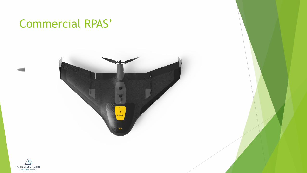
Safety and Security RPAS’
Surveying and Mapping
Professional surveyors are logical users of this technology
Miniaturization of existing technology to create products we already use
Allow smaller organizations to access these products cost-effectively
Small scale application of traditional products

Potential Deliverables
Ortho-rectified mosaics
Digital Elevation Models – raw surface
Digital Terrain Models – bare earth
Volumetric calculations
Planimetric/Topographic mapping
3D Fly-Throughs
Inspection services
GIS data update
Custom mapping – client driven
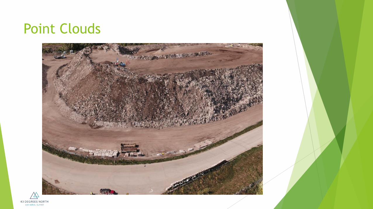
Point Clouds

Ortho-Mosaics

Sample Deliverables

Sample Deliverables

Sample Deliverables

Sample Deliverables
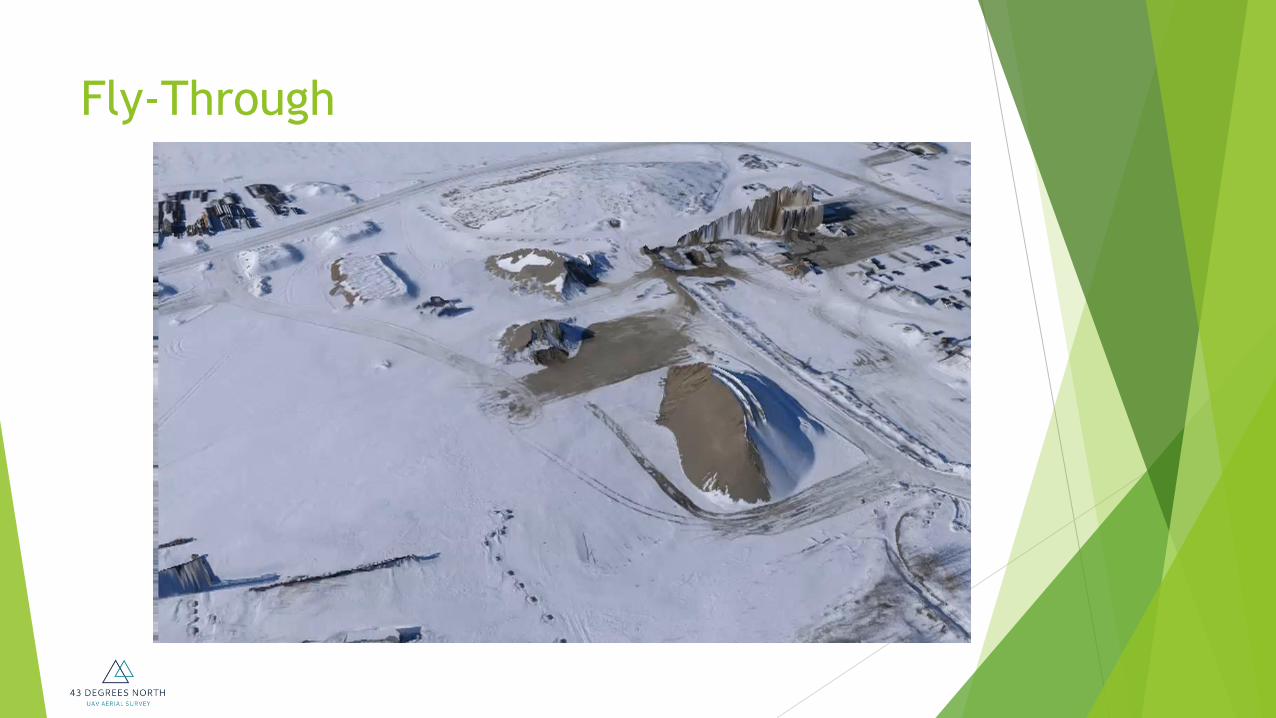
Fly-Through
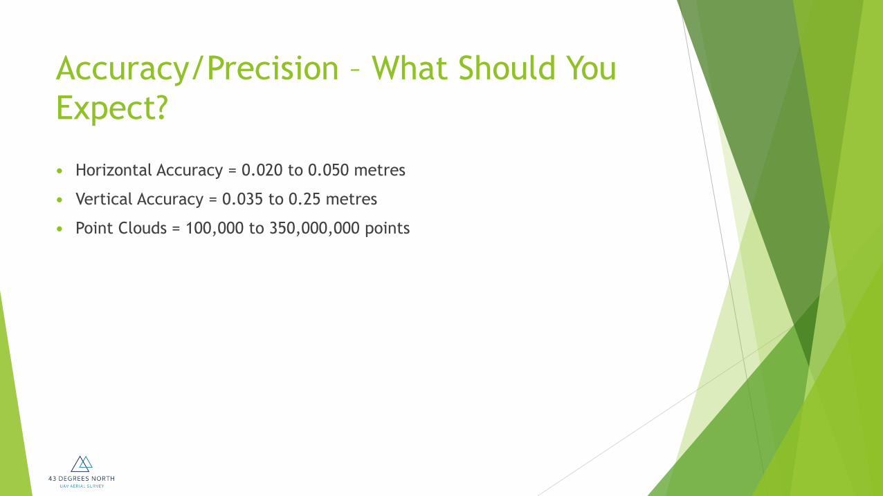
Accuracy/Precision – What Should You
Expect?
Horizontal Accuracy = 0.020 to 0.050 metres
Vertical Accuracy = 0.035 to 0.25 metres
Point Clouds = 100,000 to 350,000,000 points

GSD – Ground Sample Distance
In a digital aerial photo, the distance between pixel centres measured on
the ground
It is one of the measures with respect to image resolution
GSD
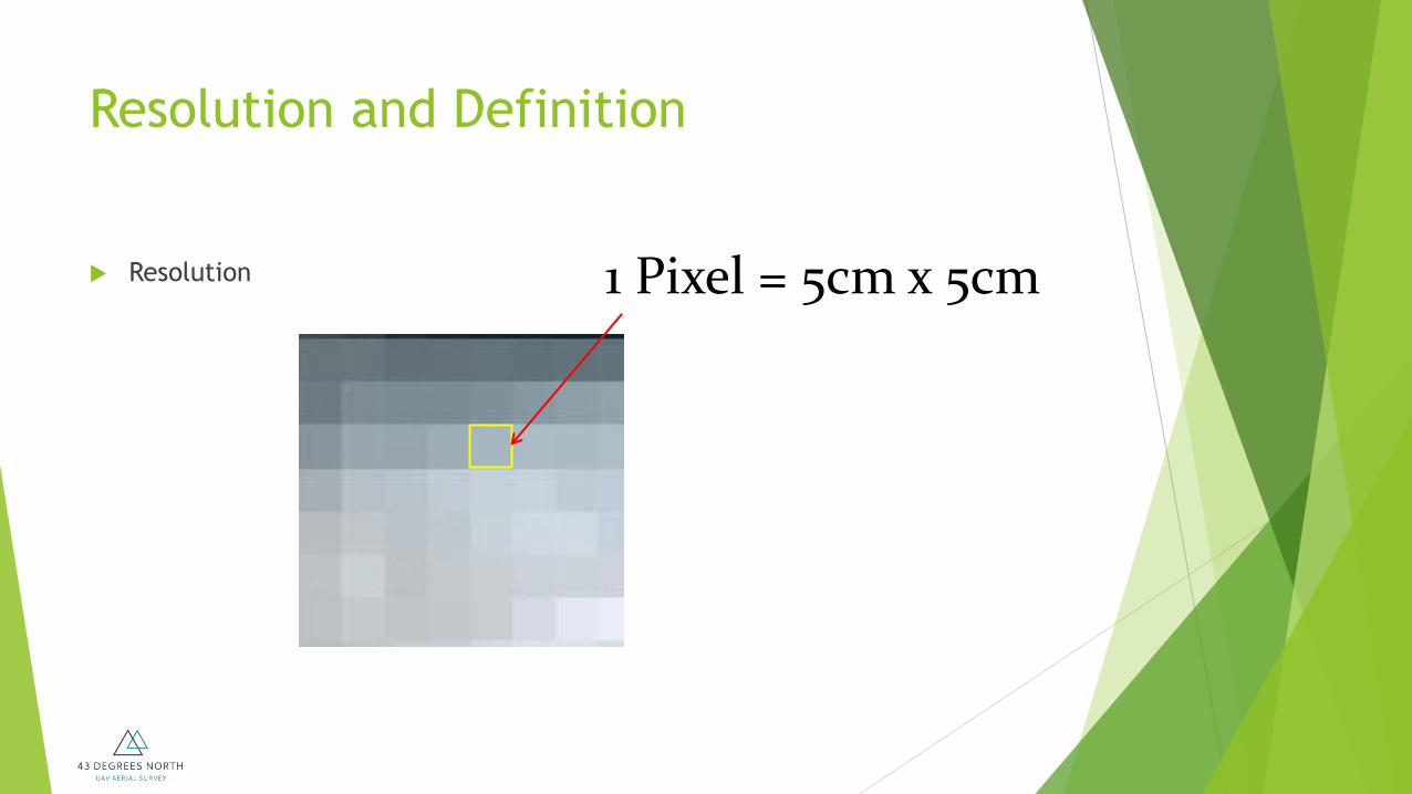
Resolution and Definition
Resolution 1 Pixel = 5cm x 5cm
Resolution and Definition
Often used interchangeably, but not the same
Definition is the CLARITY of the image detail
Resolution is the size of the smallest unit of data that forms the
image
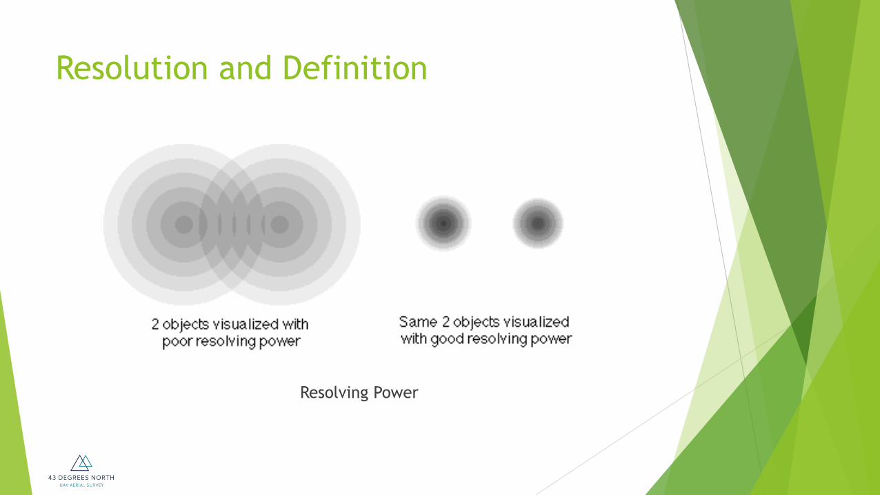
Resolution and Definition
Resolving Power

Photo Scale
Scale of Photograph = Altitude AGL / Focal Length
Sb = H / f
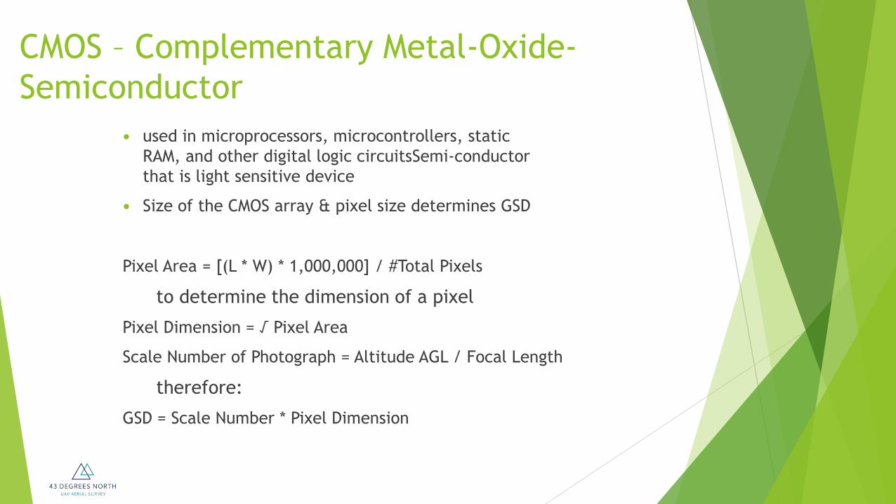
CMOS – Complementary Metal-Oxide-
Semiconductor
used in microprocessors, microcontrollers, static
RAM, and other digital logic circuitsSemi-conductor
that is light sensitive device
Size of the CMOS array & pixel size determines GSD
Pixel Area = [(L * W) * 1,000,000] / #Total Pixels
to determine the dimension of a pixel
Pixel Dimension = √ Pixel Area
Scale Number of Photograph = Altitude AGL / Focal Length
therefore:
GSD = Scale Number * Pixel Dimension

Resolution and Definition
Definition

Pixels to Image – How it relates

ESTABLISHING A BASELINE
20 cm GSD imagery from high-end aerial camera

ESTABLISHING A BASELINE
5 cm GSD imagery from high-end digital aerial camera

ESTABLISHING A BASELINE 5 cm GSD imagery from UAV camera

LET’S COMPARE AERIAL CAMERAS
20 cm GSD camera 2 cm GSD UAV camera
5 cm GSD digital camera
General Workflow
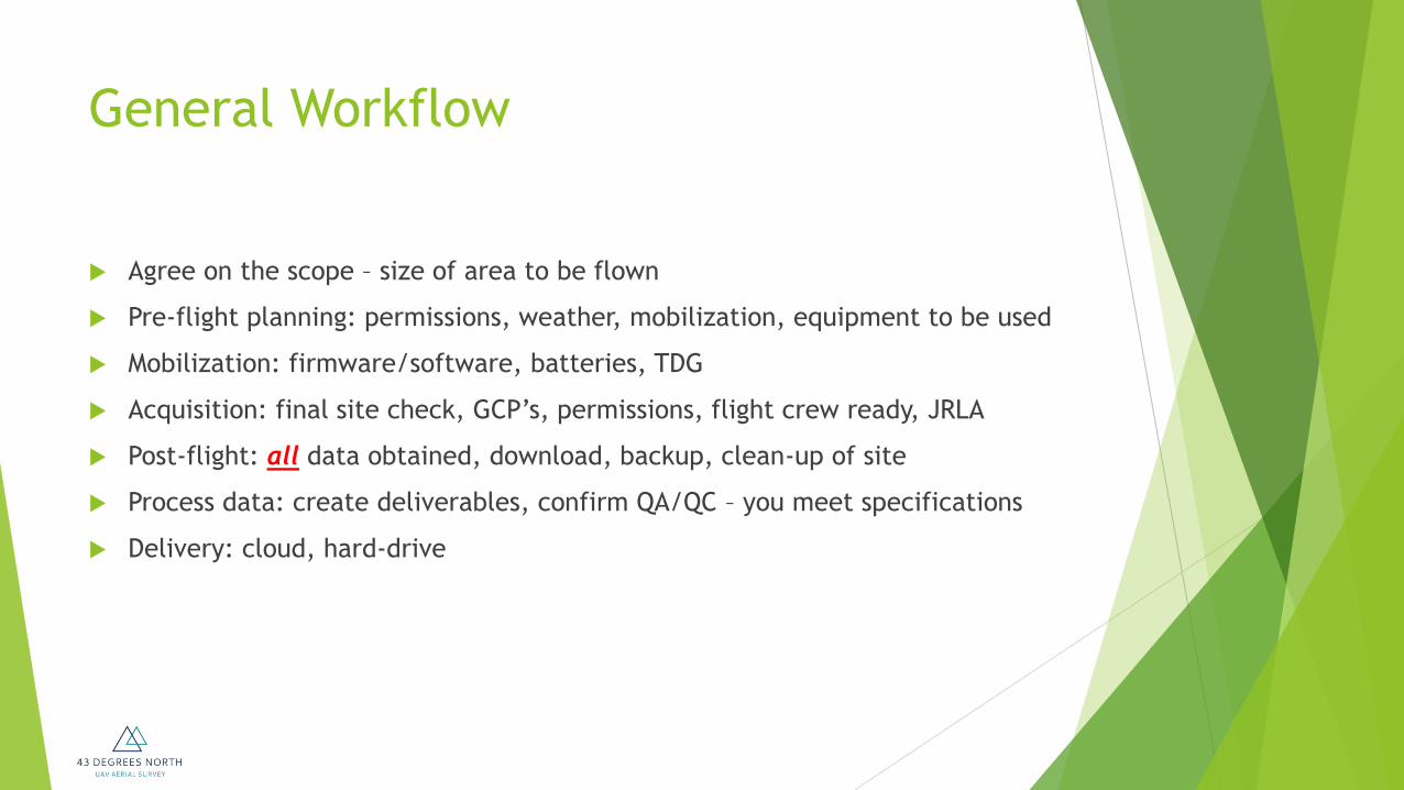
Agree on the scope – size of area to be flown
Pre-flight planning: permissions, weather, mobilization, equipment to be used
Mobilization: firmware/software, batteries, TDG
Acquisition: final site check, GCP’s, permissions, flight crew ready, JRLA
Post-flight: all data obtained, download, backup, clean-up of site
Process data: create deliverables, confirm QA/QC – you meet specifications
Delivery: cloud, hard-drive

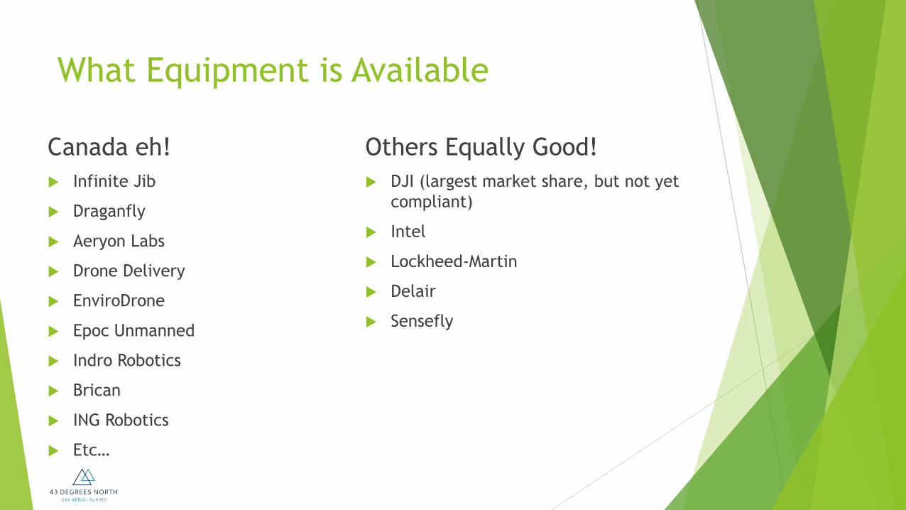
What Equipment is Available?
Pro’s
Large area coverage
Long endurance
Stable in strong winds
Con’s
Landing area required
Controlled flight into terrain
Inflexible with tight boundaries
Cannot loiter
Pro’s
VTOL
Loiter
Closeup Inspection
Low altitude missions
Confined spaces
Con’s
Low endurance
Small area coverage
Fixed Wing RPAS Rotary Wing RPAS
What Equipment is Available
Canada eh!
Infinite Jib
Draganfly
Aeryon Labs
Drone Delivery
EnviroDrone
Epoc Unmanned
Indro Robotics
Brican
ING Robotics
Etc…
Others Equally Good!
DJI (largest market share, but not yet
compliant)
Intel
Lockheed-Martin
Delair
Sensefly

Choosing Equipment
Word of caution: Changes to the Federal Aeronautics Act are coming
Complex operations will require a compliant RPAS
List is available on the Transport Canada website
Choose wisely – ask industry professionals what will work best for your
operations and budget
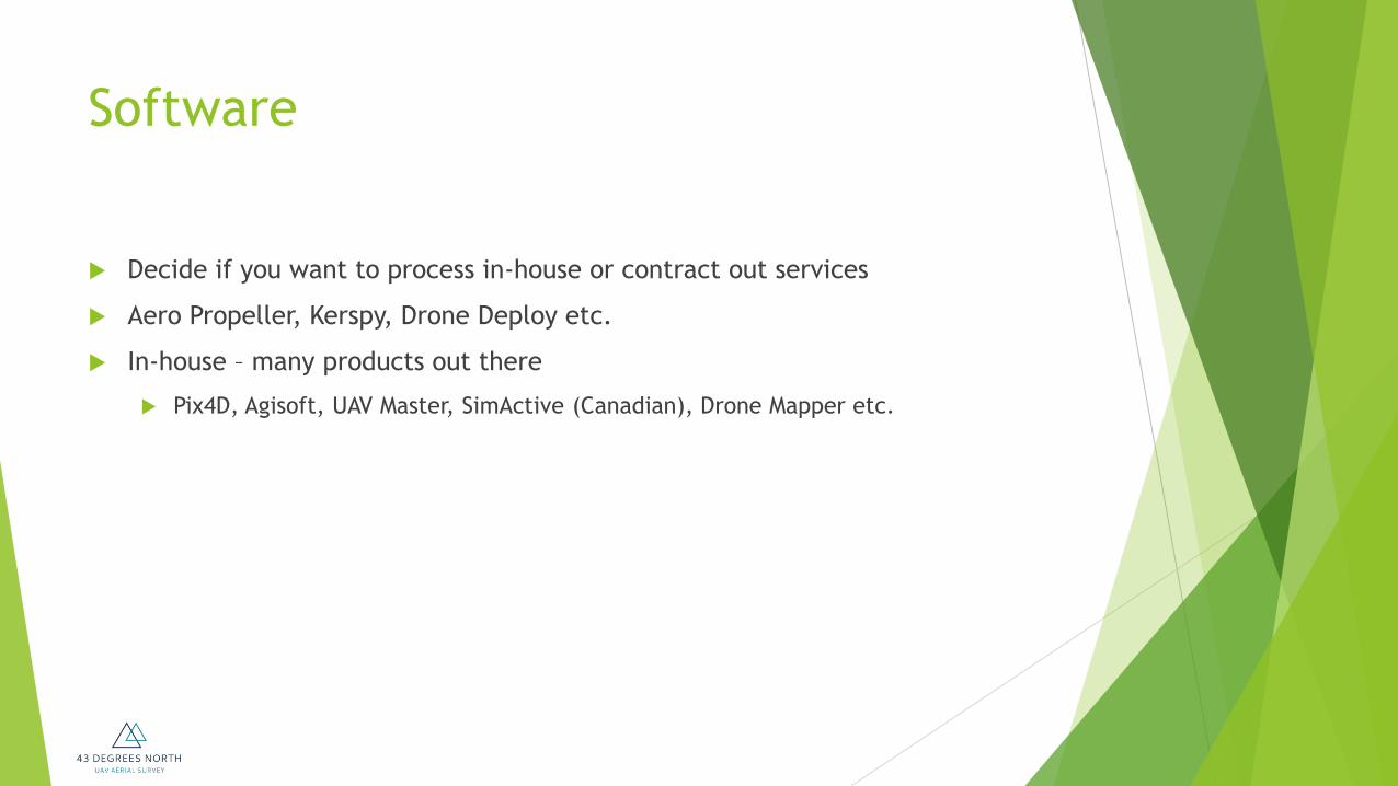
Software
Decide if you want to process in-house or contract out services
Aero Propeller, Kerspy, Drone Deploy etc.
In-house – many products out there
Pix4D, Agisoft, UAV Master, SimActive (Canadian), Drone Mapper etc.

Software
Decide on complexity of deliverables
Skill sets in-house
TRAINING TRAINING TRAINING!

Costs
RPAS - $500 to $500,000
Software - $0 - $60,000
Training - $200 - $2,500 per person
Licensing - $150?
Learning Curve
Transport Canada
This organization deals with permissions
Governing Ministry
Mandate is safety
Licensing
Education
Research
Aeronautics Act is the legislation and with associated regulations
(CARs)
Focus is on policy and regulation, not operations

Canadian Aviation Regulations
“CAR’s” – you’ll hear reference to this all the time
Divided into 9 functional parts
Part I: General Provisions
Part II: Aircraft Identification and Registration and Operation of a
Leased Aircraft by a Non-registered Owner
Part III: Aerodromes and Airports
Part IV: Personnel Licensing and Training

Canadian Aviation Regulations
Part V: Airworthiness
Part VI: General Operating and Flight Rules
Part VII: Commercial Air Services
Part VIII: Air Navigation Services
Part IX: Repeals and Coming into Force
UAV’s fall under CAR’s 602.41
Operations can also be exempt from 602.41 of the CAR’s per
document 623.35

Enforcement
INDIVIDUALS
NO SFOC = $5,000
NOT ABIDING = $3,000
CORPORATIONS
NO SFOC = $25,000
NO ABIDING = $15,000
PER VIOLATION
Operating Limitations
No person shall operate an aircraft unless it is operated in
accordance with the operating limitations as set out in the aircraft
flight manual or placards.
Operating Limitations
Flight Manual

Special Flight Operation Certificate
SFOC do I or don’t I need one?
Exemptions?
0.1 – 1.0 kg
1.1 – 25 kg
Current Reality

Exemptions - Today
< 1 kgs
No SFOC
Notification required
As long as you meet exemption
requirements
5NM from any aerodrome
listed in CFS
3NM from all other
aerodromes
Can fly in a built up area
Max 300’ AGL
1.1 - 25 kgs
No SFOC
Notification required
As long as you meet exemption
requirements
5NM from any aerodrome
listed in CFS
3NM from all other
aerodromes
3NM from a built up area
Max 300’ AGL

SFOC – FLOWCHART
Recreational Flying
One Regulation
Dos and Don’ts
Commercial UAV Operation
Compliant Operator
Restricted Operator
SFOC
Simple (1,2) Complex (3)
Standing
Exemptions
0 - 1kg
43 conditions
1.1 - 25kg
63 conditions

Certified operators
Basic or Complex Operations
Pilot knowledge requirements
Pilot certifications
Aircraft certifications
VLOS and BVLOS
Future Regulations
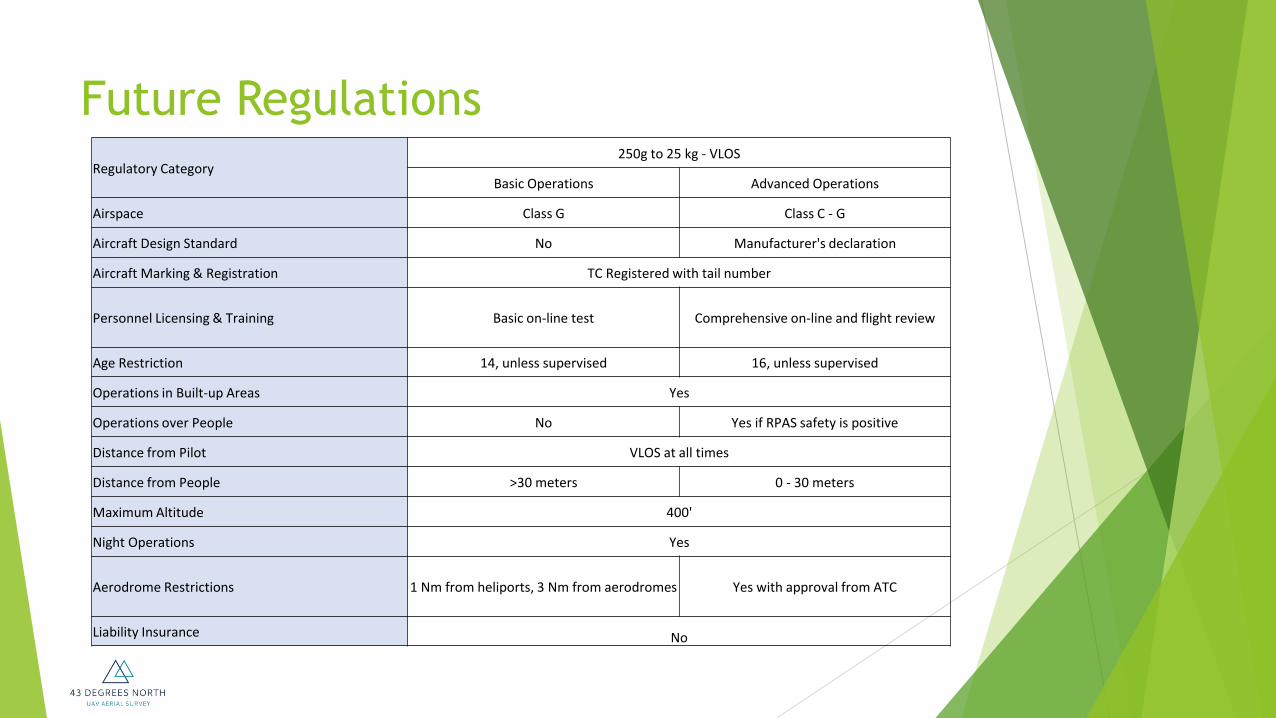
Future Regulations
Regulatory Category 250g to 25 kg - VLOS
Basic Operations Advanced Operations
Airspace Class G Class C - G
Aircraft Design Standard No Manufacturer's declaration
Aircraft Marking & Registration TC Registered with tail number
Personnel Licensing & Training Basic on-line test Comprehensive on-line and flight review
Age Restriction 14, unless supervised 16, unless supervised
Operations in Built-up Areas Yes
Operations over People No Yes if RPAS safety is positive
Distance from Pilot VLOS at all times
Distance from People >30 meters 0 - 30 meters
Maximum Altitude 400'
Night Operations Yes
Aerodrome Restrictions 1 Nm from heliports, 3 Nm from aerodromes Yes with approval from ATC
Liability Insurance No
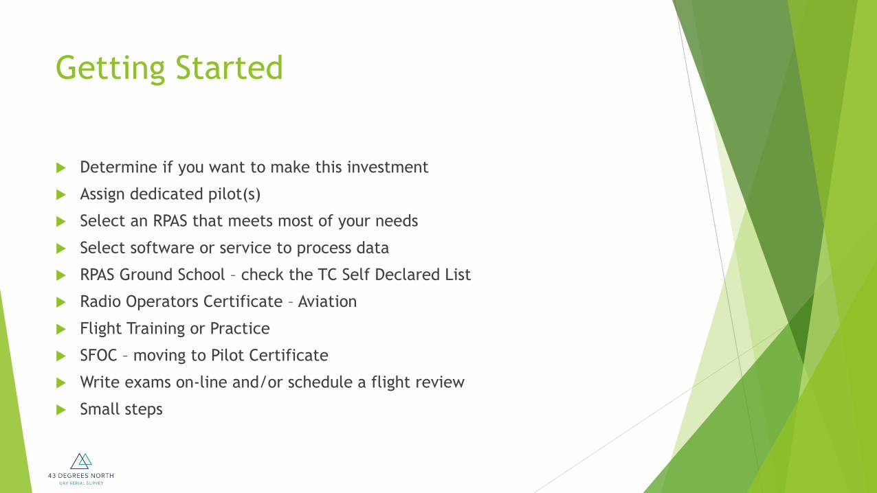
Getting Started
Determine if you want to make this investment
Assign dedicated pilot(s)
Select an RPAS that meets most of your needs
Select software or service to process data
RPAS Ground School – check the TC Self Declared List
Radio Operators Certificate – Aviation
Flight Training or Practice
SFOC – moving to Pilot Certificate
Write exams on-line and/or schedule a flight review
Small steps