
Project “ Rivers” Co-operated by Yenvien Secondary School and Army Public School Jhelum.
37
Project “ Rivers” Co-operated by Yenvien Secondary School and Army Public School Jhelum
-
Upload
domenic-bridges -
Category
Documents
-
view
217 -
download
1
Transcript of Project “ Rivers” Co-operated by Yenvien Secondary School and Army Public School Jhelum.

Project “ Rivers”Co-operated by Yenvien Secondary School and
Army Public School Jhelum
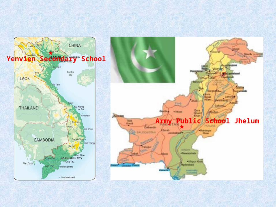
Yenvien Secondary School
Army Public School Jhelum

• 1. RED RIVER
The Red River, Vietnam, is the largest northern Vietnam
river . It flows generally northwest – southeastward . It
begins in China and enters Vietnam at Lao Cai province. It
flows past the capital of Vietnam, Hanoi before emptying
into the Gulf of Tonkin.
The Red River is also known as the Mother River.


Red River has a length of 1200 kilometers. It is
one of the most significant rivers of Vietnam and
the red waters of the river (due to high content of
iron) make it all the more alluring and attractive.


Generally the flow of Red river is 2640 cubic water per
second, The flow of the Red River is determined by the
seasons. In the dry season, its flow decreased to about
700 m3/s but in the rainy season, it reaches 30,000
m3/s ,over 40 times in comparison

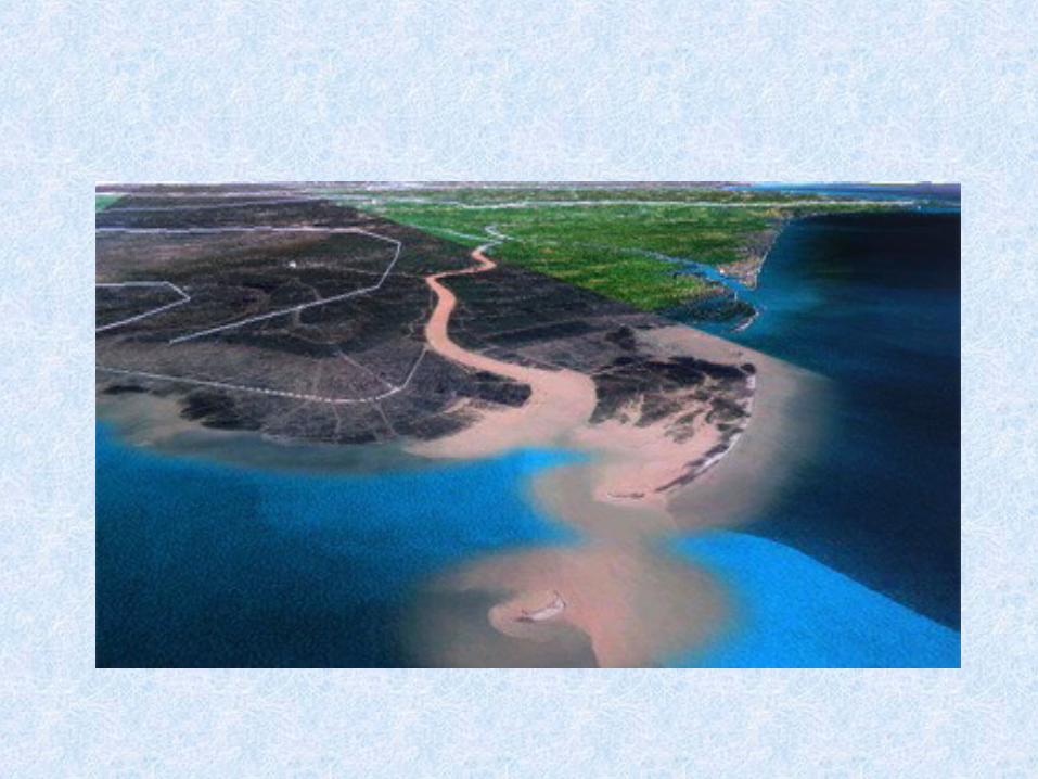
The reddish-brown heavily silt-laden water gives the
river its name, about 100 million tons per year
(approximately 1.5kg/m3 water). Silt-laden makes
more fertile fields, cultivates and expands the delta in
coastal provinces.
The delta of the river is a major
agricultural area of Vietnam with vast
area devoted to rice.
• The delta of the river is a major agricultural area of
Vietnam with vast area devoted to rice


Red River is an important contribution in daily life as
well as in production. It supplies hundreds of tons of
different fishes a year.
• The density of fish catching is about 6 tons per square
kilometer. Especially, there are some rare and precious
fishes in the Red River such as “ cá chép ta, cá chép đen,
cá chiên, cá nheo, cá tài phát”, and so on…It’s very
important for fish exporting industry


The Red River is notorious for its violent floods with its
seasonally wide volume fluctuations. The land is protected
by an elaborate network of dykes and levees


• It is one of major transportation to take goods to
other provinces along the river. It saves money and
avoids traffic jams.

The Red River is the most important water supply for the
Northern delta of Vietnam, needed for agriculture and food
production.
• Besides, the Red River is also a source of hydropower. It
can supply electricity for the mountainous areas in
Vietnam. Some hydroelectric plants have been built so
far.


The Red River is one of the good attractions in
the north of Vietnam.
Anyway, Vietnamese travel agencies should
bring its advantages of traveling and culture into
further development

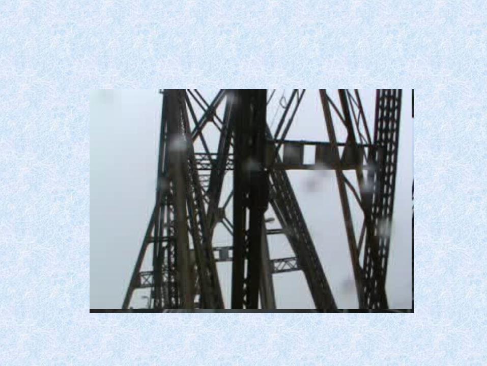
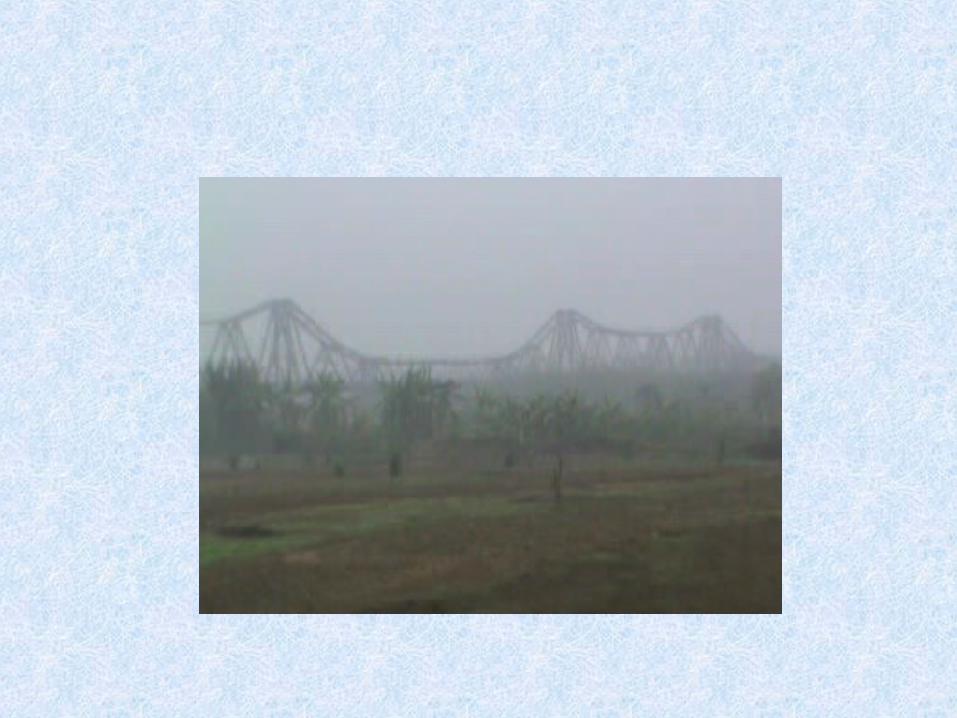
There are 18 bridges across the river, and in Hanoi
area, there are 5 bridges : Long Bien bridge, Thang
Long bridge, Chuong Duong bridge, Vinh Tuy bridge
and Thanh Tri bridge. Two others are under
construction in Hanoi


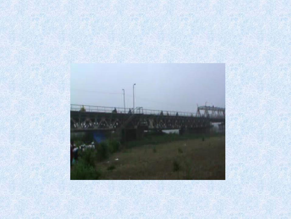
The oldest bridge is Long Bien. It was designed by a French
in late 19th century.

The extensive deforestation, industrial pollution and global
warming are affecting the vegetation and wildlife of the
delta.

Next , please enjoy our trip to the Red river. It was a rainy
day, we went on Long Bien bridge, then down to a land
which has been formed and extended with silt for many
years.
It is in the middle of the river, so we call it ”the middle
land”. The “middle land” is about two km2 and very well-
known in Hanoi. Here you can see a lot of vegetables or
plants…
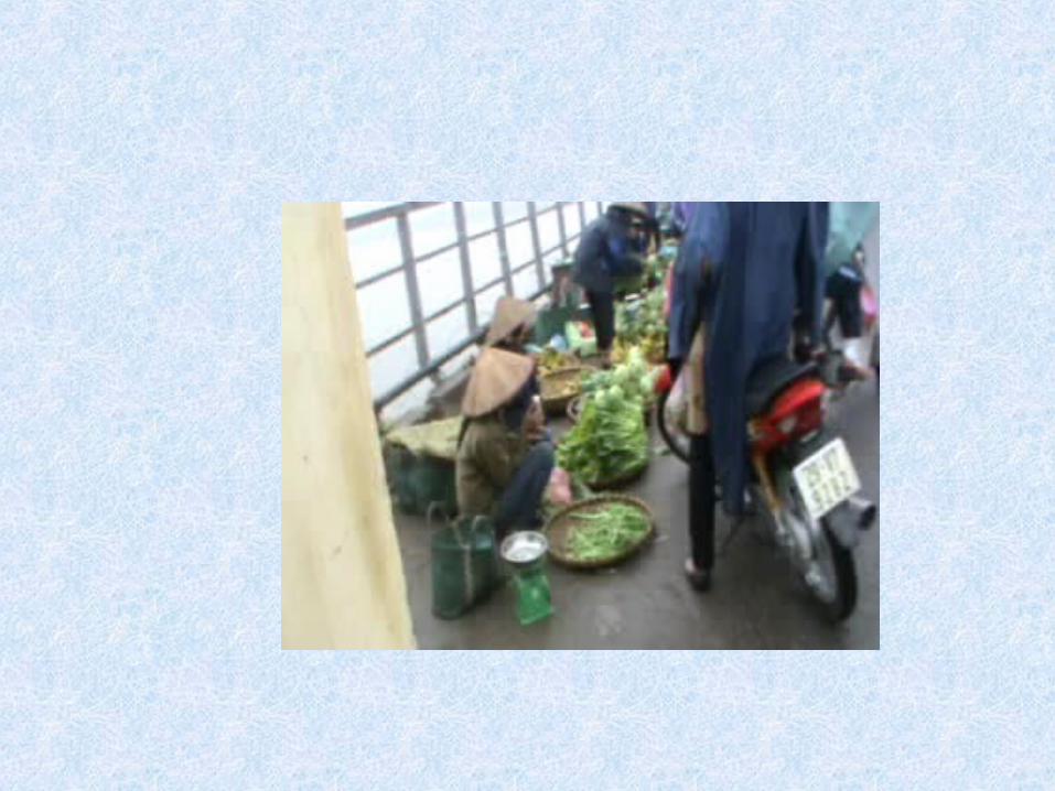
• You can also see a market place right on the bridge.
People sell the products from ”the middle land” such
as: vegetables, maize, potatoes, fish, bananas …etc.


![Channel Forming Discharge in Rivers: A Case Study of ... · Channel Forming Discharge in Rivers: A Case Study of Jhelum River in Pakistan 83 It was proposed by Wolman and Miller [42]](https://static.fdocuments.net/doc/165x107/5ae8de067f8b9a8b2b908800/channel-forming-discharge-in-rivers-a-case-study-of-forming-discharge-in-rivers.jpg)
