Pacific Island Network - GPS: The Global Positioning … Mapping Inventory – Current Status for...
20
Inventory and Monitoring Program Pacific Island Network GPS in the Pacific Island GPS in the Pacific Island Network Network Asia Addlesberger, PACN Data Mgt. Specialist Greg Kudray, PACN Program Manager
Transcript of Pacific Island Network - GPS: The Global Positioning … Mapping Inventory – Current Status for...

Inventory and Monitoring Program
Pacific Island Network
GPS in the Pacific Island GPS in the Pacific Island NetworkNetwork
Asia Addlesberger, PACN Data Mgt. Specialist Greg Kudray, PACN Program Manager

Inventory and Monitoring Program
Pacific Island Network
Outline
1. Introduction to Inventory and Monitoring- What?- Where?- Why?
2. Vital Signs Monitoring
3. GPS and Vital Signs- Data Collection- Ricoh GPS Camera
4. Vegetation Mapping Inventory- Project Description- Data Collection- Status

Inventories: Surveys and documentation of what natural resources are in national parks
Monitoring: Tracking these resources over time to detect changes (positive or negative)
Inventory and Monitoring Program
Pacific Island Network
What is Inventory & Monitoring?

11 Pacific Island National Parks:11 Pacific Island National Parks:Hawaii:• Hawaii Volcanoes National Park
(HAVO), Hawaii
• Haleakala National Park (HALE), Maui
• Kalaupapa National Historical Park (KALA), Molokai
• Puukohola Heiau National Historic Site (PUHE), Hawaii
• Kaloko-Honokohau National Historical Park (KAHO), Hawaii
• Puuhonua O Honaunau National Historical Park (PUHO), Hawaii
• Ala Kahakai National Historic Trail (ALKA), Hawaii
• USS Arizona Memorial (USAR), Oahu
Inventory and Monitoring Program
Pacific Island Network
West and South Pacific:• War in the Pacific National Historical
Park (WAPA), Guam
• American Memorial Park (AMME), Commonwealth of the Northern Mariana Islands
• National Park of American Samoa (NPSA), Territory of American Samoa

Inventory and Monitoring Program
Pacific Island Network

I&M National Monitoring GoalsI&M National Monitoring Goals
1. Determine status and trends in selected indicators (Vital Signs) of park ecosystems.
2. Provide early warning of abnormal conditions of selected resources to help develop effective management measures.
3. Provide data on: (a) dynamic park ecosystems, & (b) reference points for comparisons with other altered environments.
4. Meet certain Legal and Congressional mandates.
5. Measure progress towards performance goals.
6. Provide data to better understand, protect, and manage importantresources that share cultural and natural value.
Inventory and Monitoring Program
Pacific Island Network
Inventory and Monitoring Program
Pacific Island Network
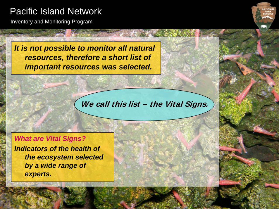
It is not possible to monitor all natural resources, therefore a short list of important resources was selected.
We call this list We call this list –– the Vital Signs.the Vital Signs.
What are Vital Signs?Indicators of the health of
the ecosystem selected by a wide range of experts.

Inventory and Monitoring Program
Pacific Island Network
List of Vital Signs for Long Term Monitoring Protocols
• Benthic Marine Community• Climate • Early Detection of Invasive Plants • Fish Harvest• Focal Terrestrial Plant Communities• Freshwater Animal Communities, Anchialine Pools• Freshwater Animal Communities, Streams• Frugivorous Bats• Groundwater Dynamics• Insectivorous Bats• Landbirds• Landscape Dynamics• Marine Fish• Seabirds• Status and Trends of Established Invasive Species• Water Quality

Inventory and Monitoring Program
Pacific Island Network
• Generate random points• Navigate to points• Document important locations
GPS and Vital Signs…
Water QualityInsectivorous Bats

- Prepare GPS unit for data collection
- Create Data Dictionary
- Transfer Data Dictionary to GPS Receiver
- Configure GPS ReceiverPrePre
-- Fie
ldFi
eld
Fiel
dFi
eld
Pos
tP
ost --
Fiel
dFi
eld
Inventory and Monitoring Program
Pacific Island Network
Data Collection
- Navigate to locations (if necessary)
- Collect GPS data: points, lines, polygons
- Take site photographs
- Transfer GPS data and images to computer
- Post processing of data (differential correction)
- Export ESRI shapefiles and projection files
- Review shapefiles in ArcGIS
- Create metadata

Inventory and Monitoring Program
Pacific Island Network
Ricoh GPS Camera:Digital cameraGPSCompassRugged build: water and shock resistantBluetooth capabilityImage imprintingGPS-Photo Link software- ArcGIS shapefiles- Google Earth .kmz files- Add comments, titles or logos - Watermark images to show
lat/long and compass direction

Inventory and Monitoring Program
Pacific Island Network
Anchialine Pools• GPS Pool Locations
- Navigate to existing pools
- Any new pools?
• Photograph each pool - Ricoh camera will automatically create a GPS point for each photo
• Take directional photographs at each pool-Ricoh camera has a built in compass
• Label each picture - Ricoh camera will imprint watermarks to document park location, pool name, date and time, compass bearing, or any other important information

Inventory and Monitoring Program
Pacific Island Network

Vegetation Mapping Inventory
Inventory and Monitoring Program
Pacific Island Network
Old Maps…
• PACN relies on vegetation maps created by several different agencies
• Some of the maps are outdated and cover only limited sections of the parks
• Lower resolution than required by the latest USGS-NPS vegetation mapping program standards
New Maps…
• Comply with the USGS-NPS vegetation mapping program classification and accuracy standards
• Based upon satellite imagery
• Minimum unit of 1 acre or less and a 1:24,000 map base

Parks Park Size Environs Size Total Project Area
ALKA 808 acres 1,372 acres 2,180 acresAMME 246 acres 360 acres 606 acresHALE 33,806 acres 8,719 acres 42,525 acresHAVO 367,949 acres 30,027 acres 397,976 acresKAHO 1,273 acres 183 acres 1,456 acresKALA 10,446 acres 861 acres 11,307 acresNPSA 11,083 acres 234 acres 11,317 acresPUHE 85 acres 436 acres 521 acresPUHO 437 acres 1,272 acres 1,709 acresWAPA 1,983 acres 2,315 acres 4,298 acres
Totals 428,116 acres 45,779 acres 473,895 acres
*Potential cooperation could increase size*Note acreages based on GIS layer boundaries*Note Project Areas does not include open ocean areas
Inventory and Monitoring Program
Pacific Island Network
Project Area Summary
Applies to all PACN Parks with a Natural Resource Component: HAVO, HALE, ALKA, PUHO, KAHO, PUHE, KALA, AMME, WAPA, and NPSA (The USS Arizona Memorial is not included)

Vegetation Mapping Tasks:
Inventory and Monitoring Program
Pacific Island Network

Plot and Observation Point Data Collection
Map Verification Work
Accuracy Assessment Data Collection
Inventory and Monitoring Program
Pacific Island Network
Field Work Components:

Kaloko-Honokohau National Historical Park (KAHO), Hawaii
Inventory and Monitoring Program
Pacific Island Network

Vegetation Mapping Inventory – Current Status for the PACN
Inventory and Monitoring Program
Pacific Island Network
Completed:• Field work and classification at the
three west Hawaii Parks, Puukohola Heiau National Historic Site, Kaloko-Honokohau National Historical Park, and Puuhonoua o Honaunau National Historical Park
• Field crews have been trained and vegetation plot collection is complete at War in the Pacific National Historical Park (Guam) and American Memorial Park (Saipan)
In Progress:• A revised version of the vegetation
mapping workplan is complete
• Mapping at the three west Hawaii Parks
Upcoming:• Vegetation plot field work will be
underway at Hawaii Volcanoes National Park during the summer of 2009
• Map accuracy assessments will be done at the west Hawaii parks in the summer of 2009

MahaloMahalo! !
Learn more at NPS Inventory & Monitoring Websites:NPS Inventory & Monitoring Websites:
http://science.nature.nps.gov/im/monitor
http://science.nature.nps.gov/im/units/pacn
Inventory and Monitoring Program
Pacific Island Network