Organ Pipes National Park - Parks Victoria
2
Parks Victoria Phone 13 1963 www.parks.vic.gov.au Opening hours Organ Pipes National Park is open to vehicles daily from 8.30am to 4.30pm. During daylight saving, the opening hours are extended to 6:00pm. Getting there Organ Pipes National Park is just off the Calder Freeway about 20km north-west of Melbourne. Things to see and do Walking Start at the Visitor Information Centre and follow the walking track to explore the many wonderful features of the park. Access to the Organ Pipes, Rosette Rock and the Tessellated Pavement is via a sealed but very steep path. Allow approximately one and a half hours to appreciate the park and its features. Keilor Plains All around you are the basalt Keilor Plains, one of the world’s largest lava flows. These plains, formed by lava which came from volcanoes near Sunbury, are fairly flat except where streams, like Jacksons Creek below you, have cut deep valleys. Native Plants Revival As you walk down to the Organ Pipes look closely at the trees and shrubs. In 1972 this area was covered with weeds, mainly thistles and boxthorn. Each year since the weeds have been removed, more native trees and shrubs have established. The Organ Pipes About a million years ago, molten lava flowed over the Keilor Plains from Mount Holden and other nearby volcanic hills. It filled the depressions and valleys of the former land surface, then cooled and solidified into basalt. Here at the Organ Pipes, it is believed that the lava filled a river valley running at right angles to Jacksons Creek. Once a surface crust had formed, the lava beneath slowly cooled, contracting and surface cracks developed (as they do in a drying mud puddle). As it continued to harden, the cracks lengthened until the basalt mass was divided into columns. Over the million years since the lava flow, Jacksons Creek has cut a deep valley through the basalt and revealed the Organ Pipes. Sandstone Bedrock Walk down the stream for 200m, past well established trees and you will see yellowish rocks across the creek. These are sandstones and mudstones, sedimentary rocks laid down under the sea. Fossils in these old rocks suggest they were formed about 400 million years ago. The old river valley now filled by the Organ Pipes was cut in this sedimentary bedrock. Rosette Rock Now walk back upstream. About 400m past the Organ Pipes, look across the creek to see Rosette Rock, a radial array of basalt columns like the spokes of a wheel. Tessellated Pavement The Tessellated Pavement, 300m further upstream, consists of the tops of basalt columns ‘filed down’ by Jacksons Creek. Scoria Cone You can now return to the car park by the shortcut path shown on the map. The car park is on an eroded scoria cone – a small volcano that ejected molten volcanic rock called scoria. Scoria is reddish- brown and light in weight; it has many airholes because it was full of steam when ejected. Picnicking Organ Pipes National Park is a great place to enjoy a picnic. Picnic tables and toilets are available next to the carpark and near the Organ Pipes lookout. Wood fires are not permitted but you can bring a gas barbecue. Be prepared and stay safe Organ Pipes National Park is in the Central fire district. Bushfire safety is a personal responsibility. Anyone entering parks and forests during the bushfire season needs to stay aware of forecast weather conditions. Check the Fire Danger Rating and for days of Total Fire Ban at www.emergency.vic.gov.au, on the VicEmergency smartphone app or call the VicEmergency Hotline on 1800 226 226. On Extreme and Code Red Fire Danger Rating days, this park will be closed for public safety. Closure signs may be erected but do not expect an official warning. Check the latest conditions at www.parks.vic.gov.au or by calling 13 1963. For emergency assistance call Triple Zero (000). If there is a green emergency marker sign near you, read the information on the marker to the operator. Organ Pipes National Park Visitor Guide The Organ Pipes, a set of basalt columns formed by the cooling and cracking of molten lava, are the park’s best-known feature. Visitors can enjoy the fantastic range of picnicking, walking, bird watching and photography opportunities available. Since the park was declared in 1972, a great deal of work has been done to restore the indigenous vegetation to the area.
Transcript of Organ Pipes National Park - Parks Victoria
Parks Victoria Phone 13 1963 www.parks.vic.gov.au
Opening hours Organ Pipes National Park is open to vehicles daily from 8.30am to 4.30pm. During daylight saving, the opening hours are extended to 6:00pm.
Getting there Organ Pipes National Park is just off the Calder Freeway about 20km north-west of Melbourne.
Things to see and do
Walking
Start at the Visitor Information Centre and follow the walking track to explore the many wonderful features of the park. Access to the Organ Pipes, Rosette Rock and the Tessellated Pavement is via a sealed but very steep path.
Allow approximately one and a half hours to appreciate the park and its features.
Keilor Plains
All around you are the basalt Keilor Plains, one of the world’s largest lava flows.
These plains, formed by lava which came from volcanoes near Sunbury, are fairly flat except where streams, like Jacksons Creek below you, have cut deep valleys.
Native Plants Revival
As you walk down to the Organ Pipes look closely at the trees and shrubs. In 1972 this area was covered with weeds, mainly thistles and boxthorn. Each year since the weeds have been removed, more native trees and shrubs have established.
The Organ Pipes
About a million years ago, molten lava flowed over the Keilor Plains from Mount Holden and other nearby volcanic hills. It filled the depressions and valleys of the former land surface, then cooled and solidified into basalt.
Here at the Organ Pipes, it is believed that the lava filled a river valley running at right angles to Jacksons Creek. Once a surface crust had formed, the lava beneath slowly cooled, contracting and surface cracks developed (as they do in a drying mud puddle). As it continued to harden, the cracks lengthened until the basalt mass was divided into columns.
Over the million years since the lava flow, Jacksons Creek has cut a deep valley through the basalt and revealed the Organ Pipes.
Sandstone Bedrock
Walk down the stream for 200m, past well established trees and you will see yellowish rocks across the creek. These are sandstones and mudstones, sedimentary rocks laid down under the sea. Fossils in these old rocks suggest they were formed about 400 million years ago. The old river valley now filled by the Organ Pipes was cut in this sedimentary bedrock.
Rosette Rock
Now walk back upstream. About 400m past the Organ Pipes, look across the creek to see Rosette Rock, a radial array of basalt columns like the spokes of a wheel.
Tessellated Pavement
The Tessellated Pavement, 300m further upstream, consists of the tops of basalt columns ‘filed down’ by Jacksons Creek.
Scoria Cone
You can now return to the car park by the shortcut path shown on the map. The car park is on an eroded scoria cone – a small volcano that ejected molten volcanic rock called scoria. Scoria is reddish-brown and light in weight; it has many airholes because it was full of steam when ejected.
Picnicking
Organ Pipes National Park is a great place to enjoy a picnic. Picnic tables and toilets are available next to the carpark and near the Organ Pipes lookout.
Wood fires are not permitted but you can bring a gas barbecue.
Be prepared and stay safe Organ Pipes National Park is in the Central fire district. Bushfire safety is a personal responsibility. Anyone entering parks and forests during the bushfire season needs to stay aware of forecast weather conditions. Check the Fire Danger Rating and for days of Total Fire Ban at www.emergency.vic.gov.au, on the VicEmergency smartphone app or call the VicEmergency Hotline on 1800 226 226.
On Extreme and Code Red Fire Danger Rating days, this park will be closed for public safety. Closure signs may be erected but do not expect an official warning. Check the latest conditions at www.parks.vic.gov.au or by calling 13 1963.
For emergency assistance call Triple Zero (000). If there is a green emergency marker sign near you, read the information on the marker to the operator.
Organ Pipes National Park Visitor Guide
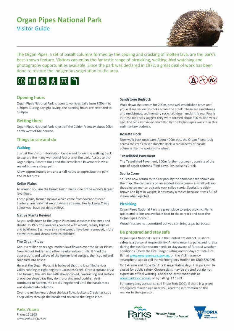
The Organ Pipes, a set of basalt columns formed by the cooling and cracking of molten lava, are the park’s best-known feature. Visitors can enjoy the fantastic range of picnicking, walking, bird watching and photography opportunities available. Since the park was declared in 1972, a great deal of work has been done to restore the indigenous vegetation to the area.

ORG100
ORG500
ORG501
M79
Park entrance
Organ PipesNational Park
To Melbourne28km
Calder ParkRaceway
Jackson Creek
Jacksons
Creek
JacksonsCreek
100
100
100
90
80
90
100
1301
20
100
110
130
50
60
70
120
70
70
60
110
50
100
110
100
70
70
90
80
80
100
100
1 10
110
12 0
130
120
120
100
100
70
100
80
80
TK
ORGANPIPES
TRAIL RIVER
LEFT
TK
NORTH
FAR
RD
ENTR
AN
CE
ACCESSCOSTA
COSTAS FAR EAST
RIVER
TRAIL
RIGHT
VICTORIA
RD CALD
ER
PARK
D
R
EDW
AR
DS
R
D
GRO
VED
ARLIN
GTO
N
DRIVE
MANCHESTER
ROAD
ROBE
RTSO
NS
LOEMANS RD
THOMPSONS RD
DR
IVE
PAR
K
CA
LDER
CO
OPE
RS
R
D
NORTHERN
A
CCESS
TK
HOME
OLD
CALDER FWY
Calder Park
Taylors LakesNorth Keilor
Organ PipesRock Formation
Rosette Rock
TesselatedPavement
0 200 400 600 Meters
www.parks.vic.gov.auDisclaimer: Parks Victoria does not guarantee that this data is without flaw of any kind and therefore disclaims all liability which may arise from you relying on this information. Cartography by Parks Victoria May 2018For mobile App search for Avenza PDF Maps
Information
Toilets
Picnic table
LookoutParking
ORG500
Gate
ESTA emergencymarkerPV
Historic site Organ Pipes National ParkSealed road
Unsealed road
Walking track
Management vehicles/walkers onlyFreeway/highway
Organ Pipes National Park