Office of Ocean and Coastal Resource Management | Coastal Services Center s Digital Coast:...
16
Office of Ocean and Coastal Resource Management | Coastal Services Center Digital Coast: Geospatial Information for Coastal Communitie s s
Transcript of Office of Ocean and Coastal Resource Management | Coastal Services Center s Digital Coast:...

Office of Ocean and Coastal Resource Management | Coastal Services Center
Digital Coast:Geospatial Information for
Coastal Communitiess

Office of Ocean and Coastal Resource Management | Coastal Services Center
Coastal Populations
U.S. Coastal Watershed Counties:
< 20 percentof total land area
52 percentof total population

Office of Ocean and Coastal Resource Management | Coastal Services Center
Coastal Economies
In 2010, the U.S. Ocean and Great Lakes economy produced
2.8 millionjobs and
$258 billionin GDP

Office of Ocean and Coastal Resource Management | Coastal Services Center
Coastal Challenges
NineOf the top ten most destructive
events on record have occurred since 1999.
$24 BillionIn total losses have been paid out by
the National Flood Insurance Program within the coastal floodplain from
1978 to 2011.
Office of Ocean and Coastal Resource Management | Coastal Services Center
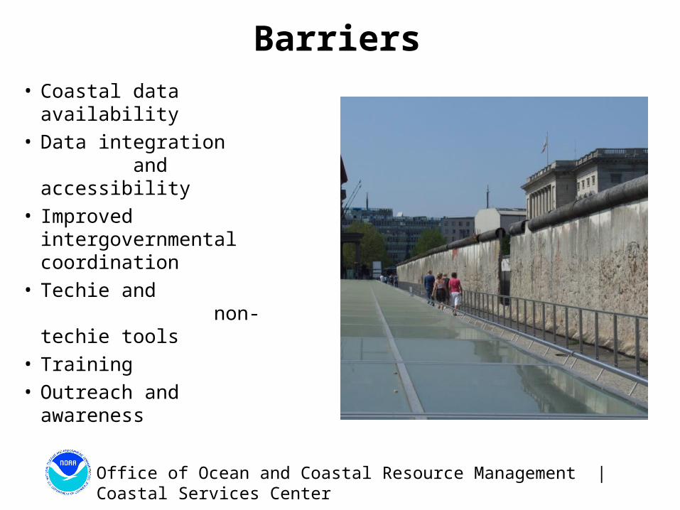
Barriers
• Coastal data availability• Data integration
and accessibility• Improved
intergovernmental coordination
• Techie and non-techie tools
• Training• Outreach and awareness

Office of Ocean and Coastal Resource Management | Coastal Services Center
Digital Coast
• Approach: Bring the geospatial and coastal management communities together
• Outcome: A constituent-driven, integrated, enabling platform supporting coastal resource management that is used

Office of Ocean and Coastal Resource Management | Coastal Services Center
Digital Coast Partnership
• American Planning Association• Association of State Floodplain
Managers• Coastal States Organization• National Association of
Counties• National Estuarine Research
Reserve Association• National States Geographic
Information Council• The Nature Conservancy• Urban Land Institute• NOAA Coastal Office

Office of Ocean and Coastal Resource Management | Coastal Services Center
A Sampling of Our Contributors
Federal• NOAA• U.S. Army Corps of Engineers• U.S. Geological Survey
State• Mississippi State Coordinating Council
for Remote Sensing and GIS• Maryland Department of
Natural Resources
Academic• University of South Carolina• University of Hawaii
Nongovernmental• Resources for the Future• Management Association for
Private Photogrammetric Surveyors
Private• Dewberry • Fugro EarthData• PhotoScience• Sanborn• Woolpert

Office of Ocean and Coastal Resource Management | Coastal Services Center
Digital Coast Data
• Over 65 terabytes of high-resolution elevation data, land cover data, and orthoimagery
• 200-plus Web-mapping services
• Linkages to over 40 national-level coastal data sets

Office of Ocean and Coastal Resource Management | Coastal Services Center
Sea Level Rise and Coastal Flooding Impacts Viewer
Digital Coast Tools
• An inventory of over 50 decision-support and information visualization tools
• Many provide visualization and analysis capabilities without the need for GIS software
Coastal County Snapshots
Sea Level Rise Viewer
Coastal County Snapshots
CanVis

Office of Ocean and Coastal Resource Management | Coastal Services Center
Digital Coast Training
• 22 training courses, including many Web-based options
• An archive of recorded webinars highlighting Digital Coast tools and data

Office of Ocean and Coastal Resource Management | Coastal Services Center
Stories from the Field
• 90-plus place-based narratives highlighting the application of Digital Coast resources to coastal management issues
• Focus on partners and outcomes

Office of Ocean and Coastal Resource Management | Coastal Services Center
Apply-It
Comprehensive information resources providing context and direction to facilitate use and application
Coastal Inundation Toolkit
Conserving Coastal Wetlands for Sea
Level Rise Adaptation
Social Coast
Office of Ocean and Coastal Resource Management | Coastal Services Center
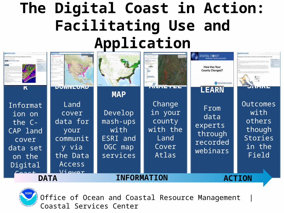
The Digital Coast in Action:Facilitating Use and Application
DISCOVER
Information on the C-CAP land
cover data set on the
Digital Coast website
DOWNLOAD
Land cover data for
your community via the Data
Access Viewer
MAP
Develop mash-ups with ESRI and OGC
map services
ANALYZE
Change in your county
with the Land Cover
Atlas
LEARN
From data experts through recorded webinars
SHARE
Outcomes with others
though Stories in the Field
DATA INFORMATION ACTION

Office of Ocean and Coastal Resource Management | Coastal Services Center
Demonstrating Value to the Nation
Benefits are
3.5 timesgreater than costs
254 percent return on investment
Net present value is
$41.8 million
FY 2012 benefit projection of
$6.47 million

Office of Ocean and Coastal Resource Management | Coastal Services Center
Connect with the Digital Coast
www.csc.noaa.gov/DigitalCoast
www.facebook.com/NOAADigitalCoast
@NOAADigCoast