NordKyst-800m The Norwegian Coastal Model Bjørn Ådlandsvik Institute of Marine Research Opnet,...
13
NordKyst-800m The Norwegian Coastal Model Bjørn Ådlandsvik Institute of Marine Research Opnet, Geilo, 27-28 May
-
Upload
malcolm-arnold -
Category
Documents
-
view
218 -
download
0
Transcript of NordKyst-800m The Norwegian Coastal Model Bjørn Ådlandsvik Institute of Marine Research Opnet,...

NordKyst-800mThe Norwegian Coastal Model
Bjørn ÅdlandsvikInstitute of Marine Research
Opnet, Geilo, 27-28 May 2010

What
NorKyst-800m is a model setup under development with 800 m resolution covering the entire Norwegian coast
Flexible setup: run the whole or subdomains
Present partners: IMR, met.no, NIVA
Open access: Model grid and forcing available to everybody, pilot setup for the Regional Ocean Modeling System (ROMS). Other partners and other models are welcome.

Why
Increasing interest in coast and fjord areas
aquaculture, transport, tourism, ...
Need knowledge for coastal management
Operational use
Shipping accidents, oil spills, harmful algae blooms
Additional products
Transport models: pollution, salmon lice, eggs and larvae of coastal cod
Provide input to higher resolution fjord models
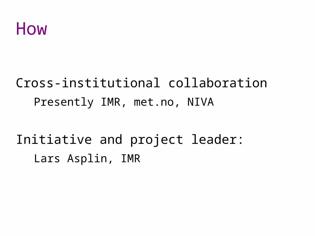
How
Cross-institutional collaboration
Presently IMR, met.no, NIVA
Initiative and project leader:
Lars Asplin, IMR

What
Topography, land mask – Jon Albretsen, IMR
Cartesian grid in polar stereographic plane
2602 x 902 grid cells
Resolution approx. 800 m
Topography from GEBCO-08
Land contours from Norge digitalt

Bottom matrix

Bottom matrix around Askøy

What
Topography, land mask – Jon Albretsen, IMR
Tidal forcing – Ann Kristin Sperrevik, met.no
8 constituentsK2 S2 M2 N2 K1 P1 O1 Q1
Data from TPXO, Oregon State University

What
Topography, land mask – Jon Albretsen, IMR
Tidal forcing – Ann Kristin Sperrevik, met.no
River forcing – André Stålstrøm, NIVA
247 rivers
Data from NVE

Riverpositions

Version zero
Interpolation from met.no operational 4 km to 800 m grid, no separate model run
Early start for developing diagnostics, validation tools and other products around the model
No extra cost: interpolation needed anyway to provide initial and boundary conditions

Version one
Atmospheric, river and ocean boundary forcing available
Setup for Regional Ocean Model System (ROMS)
Test runs

Further work
Operational use at met.no
Distribution of operational results and forcing to partners
Flexible ROMS setups at IMR, NIVA
Validation
Distribution of results and added products to users