
Near-Real Time Analysis of the Modern Carbon Cycle by Model-Data Fusion Scott Denning, David Baker,...
15
Near-Real Time Analysis of the Modern Carbon Cycle by Model-Data Fusion Scott Denning, David Baker, Chris O’Dell, Denis O’Brien, Tomohiro Oda, Nick Parazoo, Ian Baker, Becky McKeown (CSU Atmospheric Science & CIRA) Andy Jacobson, Pieter Tans (NOAA ESRL), Scott Doney, Ivan Lima (WHOI), Jim Collatz, Randy Kawa (NASA GSFC) Acknowledgements: Support by NOAA, NASA, DoE
-
date post
19-Dec-2015 -
Category
Documents
-
view
223 -
download
0
Transcript of Near-Real Time Analysis of the Modern Carbon Cycle by Model-Data Fusion Scott Denning, David Baker,...

Near-Real Time Analysis of the Modern Carbon
Cycle by Model-Data Fusion
Scott Denning, David Baker, Chris O’Dell, Denis O’Brien, Tomohiro Oda, Nick Parazoo, Ian Baker, Becky McKeown (CSU Atmospheric Science & CIRA)
Andy Jacobson, Pieter Tans (NOAA ESRL),
Scott Doney, Ivan Lima (WHOI),
Jim Collatz, Randy Kawa (NASA GSFC)
Acknowledgements:Support by NOAA, NASA, DoE
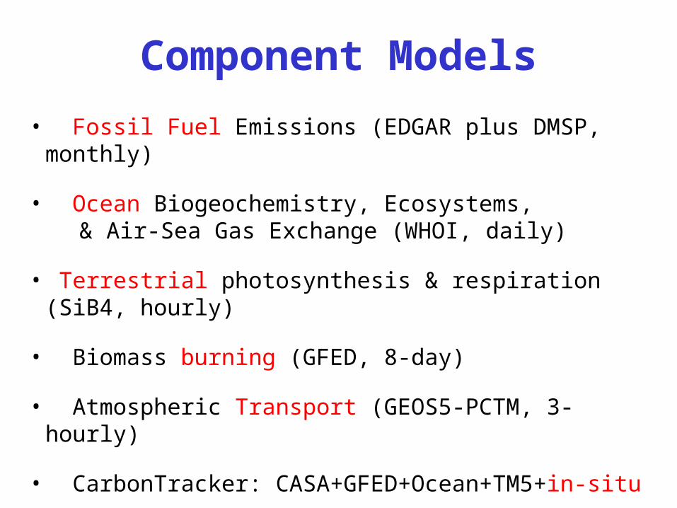
Component Models
• Fossil Fuel Emissions (EDGAR plus DMSP, monthly)
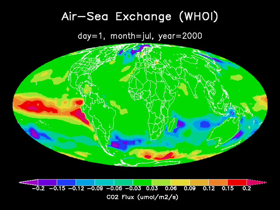
• Ocean Biogeochemistry, Ecosystems, & Air-Sea Gas Exchange (WHOI, daily)
• Terrestrial photosynthesis & respiration (SiB4, hourly)
• Biomass burning (GFED, 8-day)
• Atmospheric Transport (GEOS5-PCTM, 3-hourly)
• CarbonTracker: CASA+GFED+Ocean+TM5+in-situ
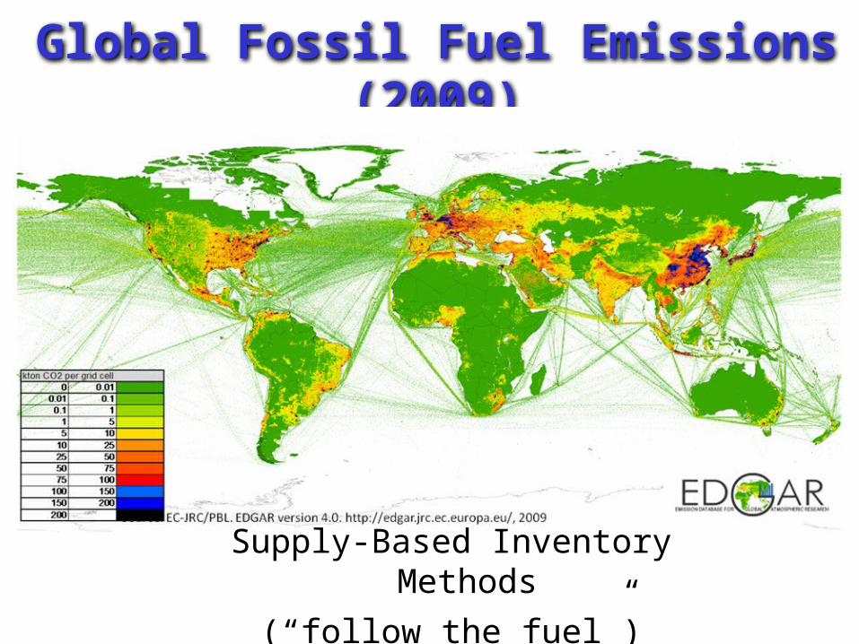
Global Fossil Fuel Emissions (2009)
Supply-Based Inventory Methods
(“follow the fuel”)

Regional Emissions Estimates
Oda et al (2010) emissions scaled to DMSP lights
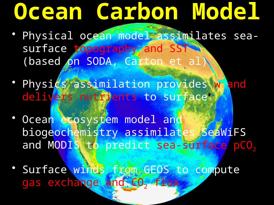
Ocean Carbon Model• Physical ocean model assimilates sea-
surface topography and SST (based on SODA, Carton et al)
• Physics assimilation provides w and delivers nutrients to surface
• Ocean ecosystem model and biogeochemistry assimilates SeaWiFS and MODIS to predict sea-surface pCO2
• Surface winds from GEOS to compute gas exchange and CO2 flux
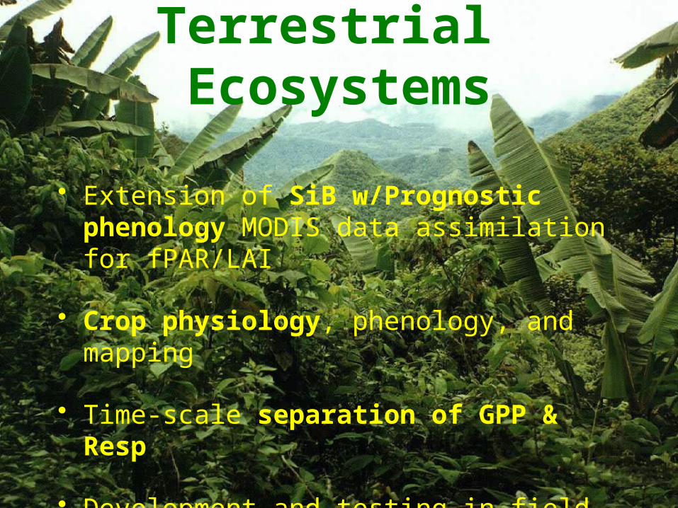
Terrestrial Ecosystems
• Extension of SiB w/Prognostic phenology MODIS data assimilation for fPAR/LAI
• Crop physiology, phenology, and mapping
• Time-scale separation of GPP & Resp
• Development and testing in field experiments with mesoscale model

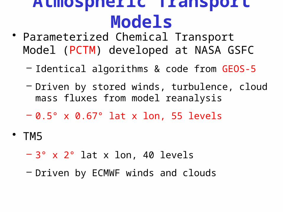
Atmospheric Transport Models
• Parameterized Chemical Transport Model (PCTM) developed at NASA GSFC
– Identical algorithms & code from GEOS-5
– Driven by stored winds, turbulence, cloud mass fluxes from model reanalysis
– 0.5° x 0.67° lat x lon, 55 levels
• TM5
– 3° x 2° lat x lon, 40 levels
– Driven by ECMWF winds and clouds

CarbonTracker: Optimization of in-situ CO2 data
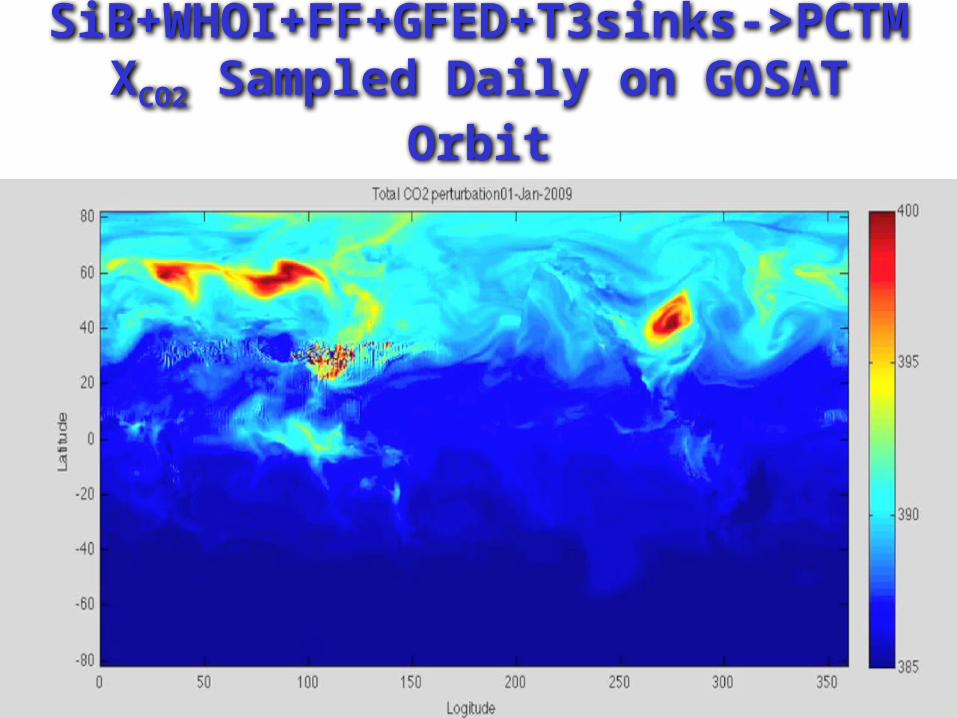
SiB+WHOI+FF+GFED+T3sinks->PCTM
XCO2 Sampled Daily on GOSAT Orbit

ALL
FILTERED
12
N = 865806
GOSAT Column CO2 from Space
ACOS B2.9 Coverage
N ~ 250000

GOSAT−PCTM GOSAT−CT
CT−PCTMDark Blue:
Oceans (glint, high gain)Cyan:
land, medium gain (desert areas only, bright)
Green: land, high gain (all other land areas, dark)

Bias [ppm]: • Dark land -1.03 -0.80 -0.23• Bright land 0.31 0.20
0.11• Ocean 0.07 0.31 -
0.24
Standard deviation [ppm]:• Dark land 1.89 1.86 0.86• Bright land 1.70 1.61
0.49• Ocean 1.36 1.34
0.35
Comparison of GOSAT to ModelsACOS- PCTM
ACOS - CT
PCTM - CT

Conclusions• Two different comprehensive analysis systems
agree with > 250k GOSAT XCO2 retrievals to better than 2 ppm (bias < 1 ppm; s < 2 ppm)
• Ocean(!) and medium-gain land retrievals seem to agree better with models than high-gain land
• Scope for “removing retrieval biases” using fits to albedo, airmass, etc may reduce single-shot random errors to better than 1 ppm
• System can be used to estimate source/sink in near real time (a few weeks after the fact)


![Japan IPv6 Measurement, by Tomohiro Fujisaki [APNIC 38 / IPv6 Readiness Measurement BoF]](https://static.fdocuments.net/doc/165x107/549215a9b4795956138b5624/japan-ipv6-measurement-by-tomohiro-fujisaki-apnic-38-ipv6-readiness-measurement-bof.jpg)


![Thema heute: Lokalisierung - KIT - ITI Algorithmik I · HS ist 1-kompetitiv in einer Dimension. [O’Dell, Wattenhofer, 2005]. [O’Dell, Wattenhofer, 2005]. Man kann zeigen, dass](https://static.fdocuments.net/doc/165x107/5d4ef72088c99367198be6f2/thema-heute-lokalisierung-kit-iti-algorithmik-i-hs-ist-1-kompetitiv-in.jpg)