Model Interface and Data Storage Application (MIDSA) for...
75
Model Interface and Data Storage Application (MIDSA) for IGSM2 Interface Uses Elements of Interface Model Objects
-
Upload
trinhkhanh -
Category
Documents
-
view
216 -
download
1
Transcript of Model Interface and Data Storage Application (MIDSA) for...
Model Interface and Data Storage Application (MIDSA)
for IGSM2Interface Uses
Elements of InterfaceModel Objects

Interface Uses
Model DevelopmentPresentationBasin ManagementAlternatives Evaluation

Model Development Interface Uses
Build Model...Base Map and Model Extents Model GridPhysical FeaturesParametric GridOperationsBoundary ConditionsCalibration

Presentation
0
10
20
30
40
50
Urban Demand Ag Demand
Subreg 1 Subreg 2 Subreg 3-60
-50
-40
-30
-20
-10
0
Graphically View Model Input and OutputModel Input Data
Interface Uses
Water BudgetsGroundwater ContoursTime Series DataHardcopy

Basin ManagementInterface Uses
Data Sharing Active Connection with other Data Management Systems
Ground and Surface Water Data Management Systems
IGSM 2 MIDSA
•New Well Data
•Diversion Data
•Streamflow Data
•Rainfall Data
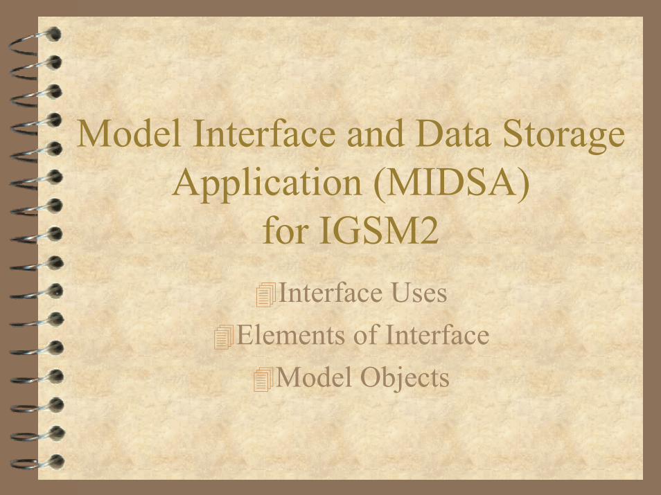
Alternatives EvaluationInterface Uses
Track and Document ChangesUndo ChangesMix AlternativesAlternative Comparisons

Elements of Interface
DatabaseHandling Flat File DataTabular PresentationTrack ChangesModel ExecutionGraphical EnginesData Exchange Formats
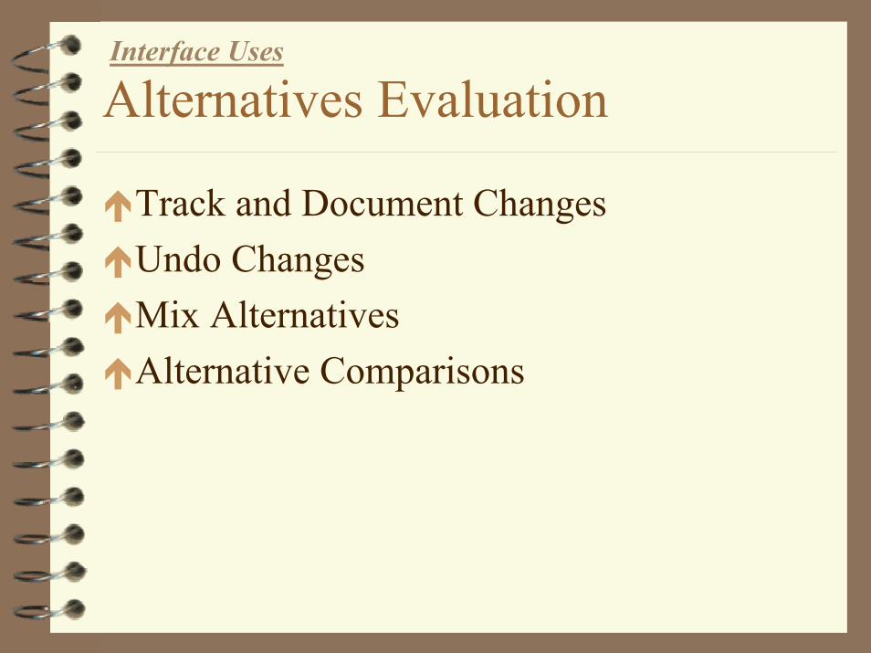
DatabaseElements of Interface
Open Database StructureStandard PlatformExample (Database Text File)

Handling of Flat File DataElements of Interface
Open input file structureScript compiler for reading and writing model input filesExample (template file and compiler)

Tabular PresentationElements of Interface
Spreadsheet FunctionalityBuilt-in Processing FeaturesExample (DMS Table Features)
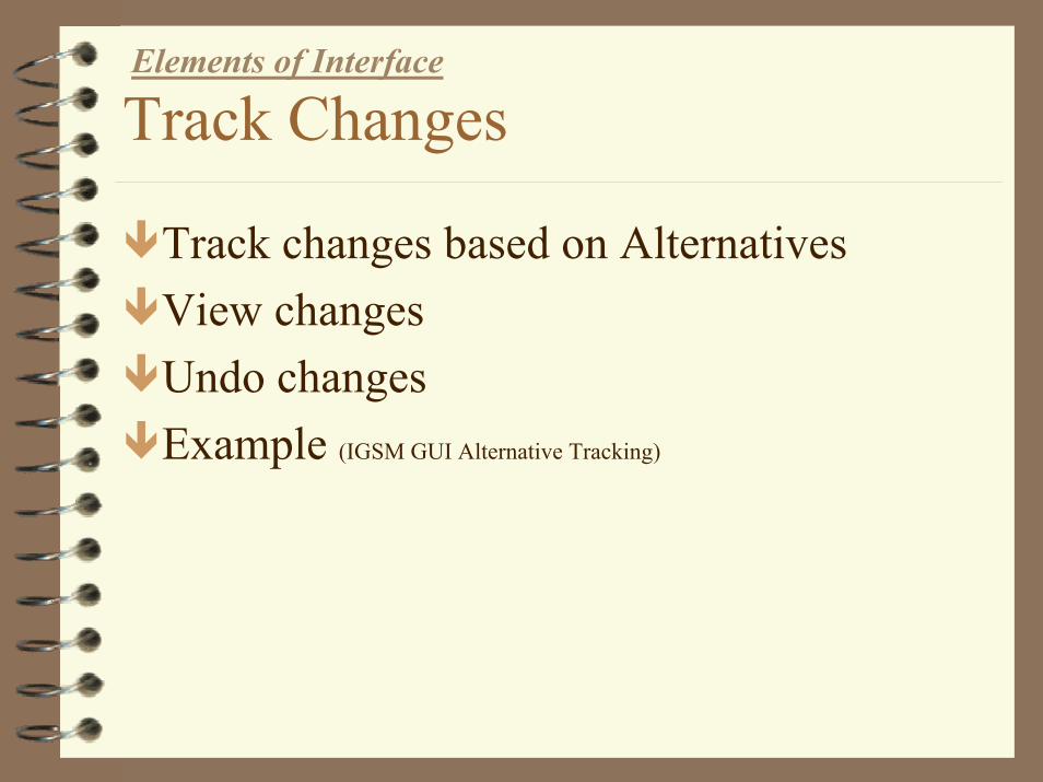
Track ChangesElements of Interface
Track changes based on AlternativesView changesUndo changesExample (IGSM GUI Alternative Tracking)

Model ExecutionElements of Interface
Control execution by creating subroutines to be called by interface

Graphical EnginesElements of Interface
Model Objectsnodes, elements, streams, subregions, model
ContouringGraphingPrinting

Data Exchange FormatsElements of Interface
GIS Shape and *.dbf Files*.dxfExcelAccessComma Delimited
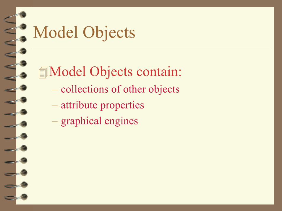
Model Objects
Model Objects contain:– collections of other objects– attribute properties– graphical engines
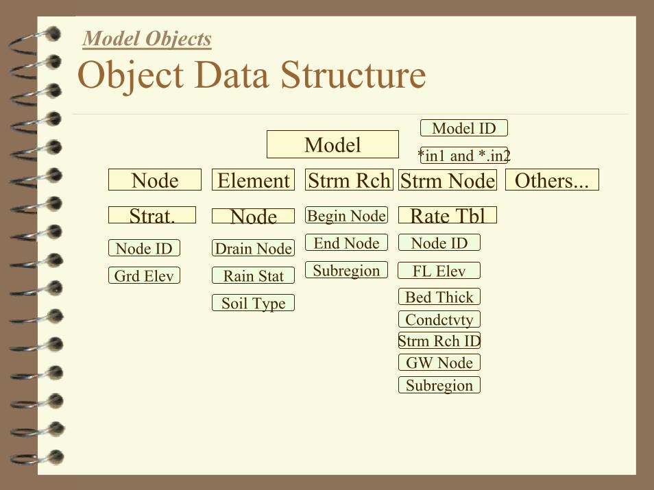
Object Data StructureModel Objects
Model IDModel *in1 and *.in2
Node Element
Grd Elev
Strat.Node ID
Strm Rch Others...Strm Node
Rain Stat
Drain Node
Soil Type
NodeEnd Node
Begin Node Rate TblNode ID
Subregion FL ElevBed Thick
Strm Rch IDCondctvty
GW NodeSubregion

Object Graphics...Model Objects
ModelSubregionsStream NodesBoundary NodesGW NodesElementsWells

Object Graphics...Model Objects
Name and NumberSoil Properties
Indoor/outdoor UsageReturn Flow Assignment
Urban DemandAgricultural Supply Requirements
ETCrop Efficiencies
Soil Moisture Requirements
Subregion Object
Object Graphics...Model Objects
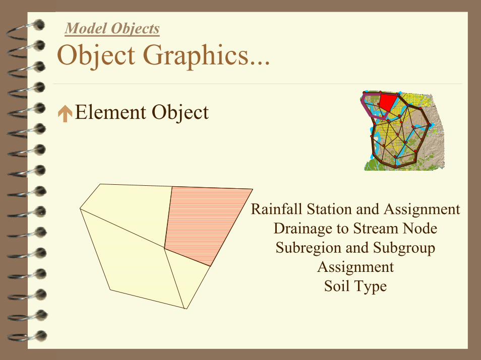
Element Object
Rainfall Station and AssignmentDrainage to Stream NodeSubregion and Subgroup
AssignmentSoil Type

Object Graphics...
Well Example (DMS)

Upcoming IGSM Projects
WESTSIMSacramento Yubaothers...

Creation of Model GridDesired Features
Subregion BoundaryFixed Node Types
StreamModel BoundarySubregion
General Node TypeFixed Node LinkageAutomated Element Configuration

Model StratigraphyDesired Features
Ground SurfaceCross-sect Node Location with Ground Contours
Aquifer ThicknessCross-sect Node Location with Aquifer Contours
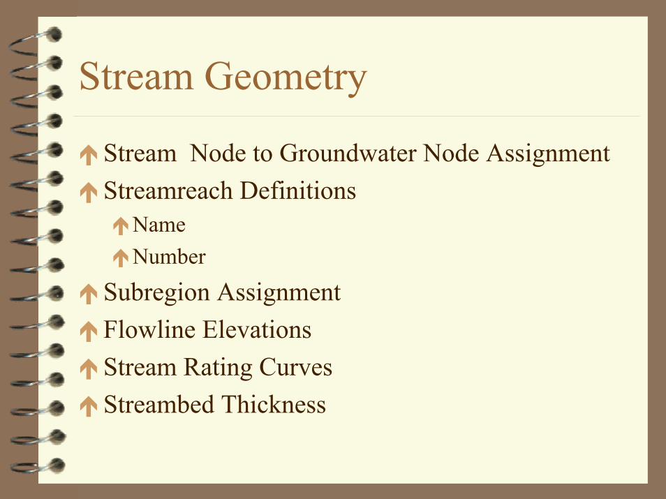
Stream Geometry
Stream Node to Groundwater Node AssignmentStreamreach Definitions
NameNumber
Subregion AssignmentFlowline ElevationsStream Rating CurvesStreambed Thickness
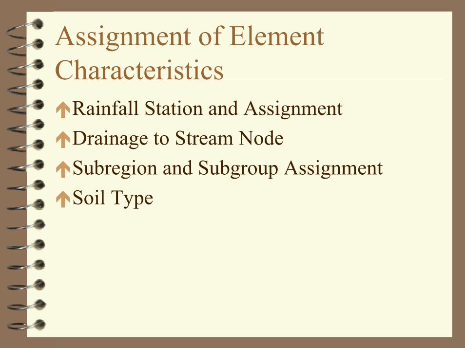
Assignment of Element Characteristics
Rainfall Station and AssignmentDrainage to Stream NodeSubregion and Subgroup AssignmentSoil Type

Subregion Definitions
Name and NumberSoil PropertiesIndoor/outdoor UsageReturn Flow AssignmentUrban DemandAgricultural Supply Requirements
ETCrop EfficienciesSoil Moisture Requirements
Lake Geometry and Properties
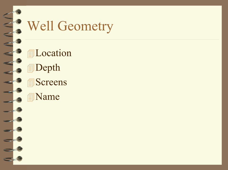
Well Geometry
LocationDepthScreensName

Creation of Model Parameters
Parametric Grid and Node ConfigurationAssignment of Over-ride Groundwater NodeParametric Data

Stream Inflow

Rainfall
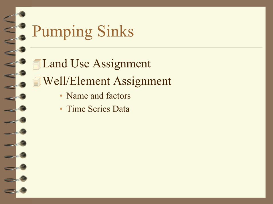
Pumping Sinks
Land Use AssignmentWell/Element Assignment
• Name and factors• Time Series Data
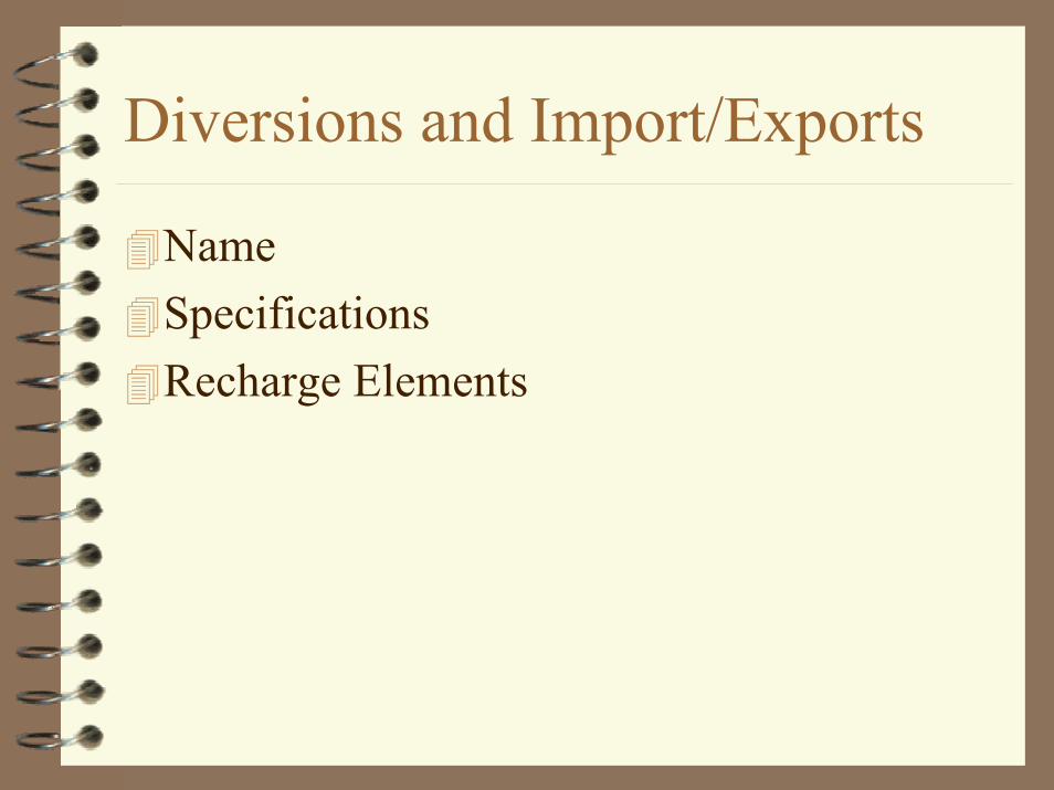
Diversions and Import/Exports
NameSpecificationsRecharge Elements
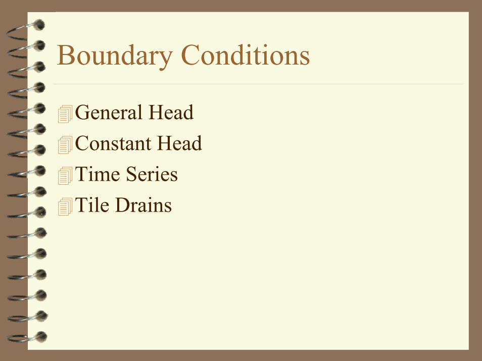
Boundary Conditions
General HeadConstant HeadTime SeriesTile Drains

Small Watershed
Stream node assignmentPropertiesBoundary Inflow

Presentation
Print FileGroundwater Head FileBudget Files

Print File
Groundwater Hydrographs– comparison with calibration well data
Stream Hydrographs– comparison with actual streamflow data
Element Flux Hydrographs

Groundwater Head File
Comparison with actual groundwater elevation contours

Budget Files
Water Use GroundwaterStreamStreamreachSoil Moisture

Model Run Parameters
Pass 1Pass 2
1
GroundwaterData Management System (DMS)
January 31, 2003MWH Americas, Inc. Jonathan Goetz(916) 921-3584
2
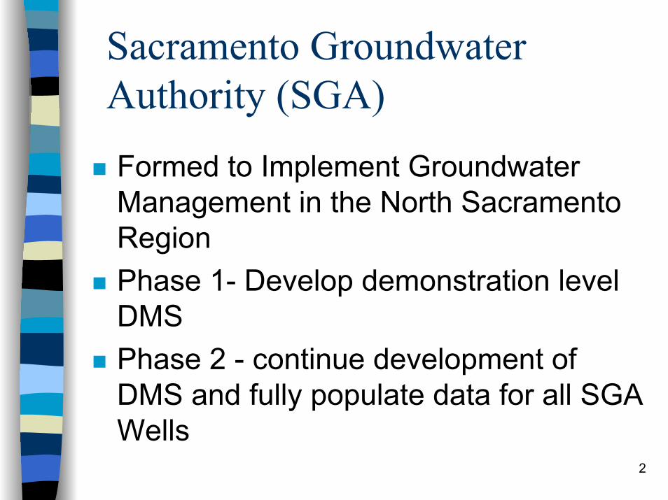
Sacramento Groundwater Authority (SGA)
Formed to Implement Groundwater Management in the North Sacramento RegionPhase 1- Develop demonstration level DMSPhase 2 - continue development of DMS and fully populate data for all SGA Wells
3
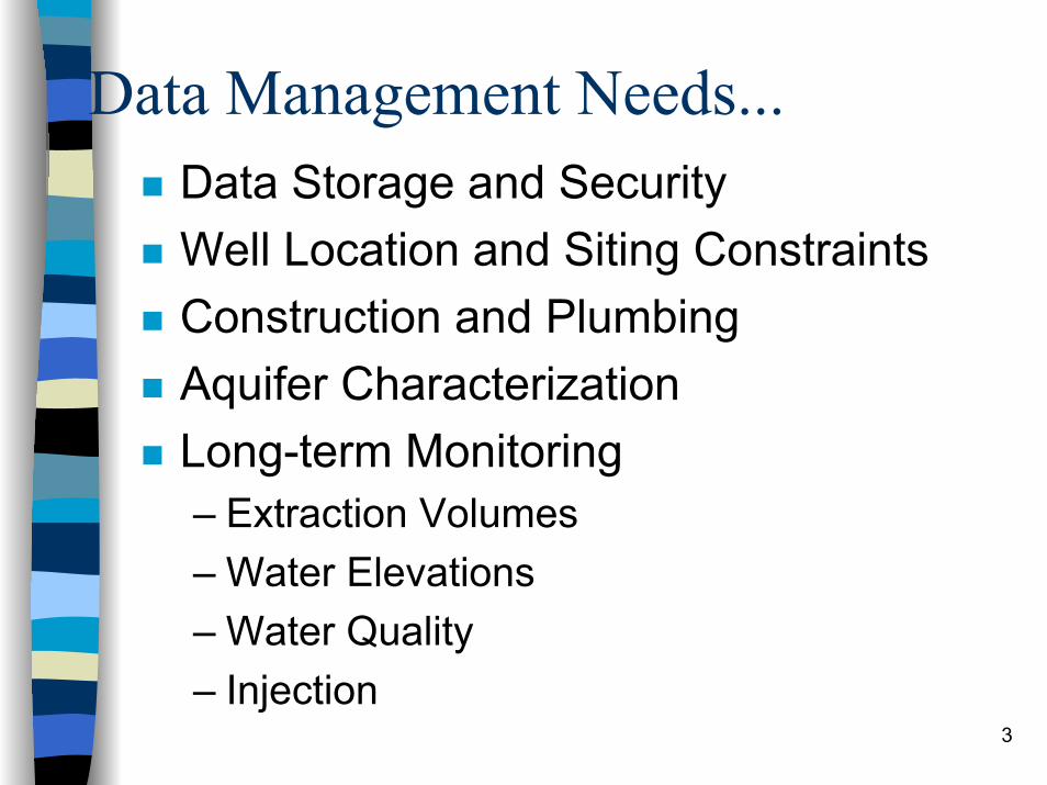
Data Management Needs...Data Storage and SecurityWell Location and Siting ConstraintsConstruction and PlumbingAquifer CharacterizationLong-term Monitoring– Extraction Volumes– Water Elevations– Water Quality– Injection

4
Data Management Needs...Analytical ToolsPresentation Tools

5
DMS vs. Data
DMS is a stand-alone executable application developed in Visual Basic.DMS controls database transactions.DMS can be applied to any groundwater basin.

6
DMS Walk Through...

7
Security and User Access
Levels of Security:DeveloperDMS OwnerPrivate PurveyorPublic
8
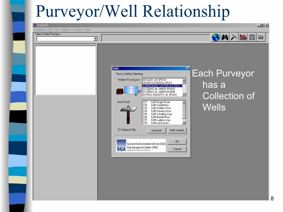
Purveyor/Well Relationship
Each Purveyor has a Collection of Wells

9
Well Information and Attributes
10
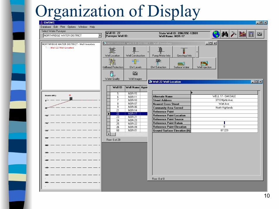
Organization of Display

11
Building the Well Data Object

12
Building the Well Data Object

13
Standardized Input

14
Source Data Included

15
Data Presentation Tools

16
Excel Automation

17
Database Tables

18
Query Builder

19
Query Builder

20
Graphical Presentation
21
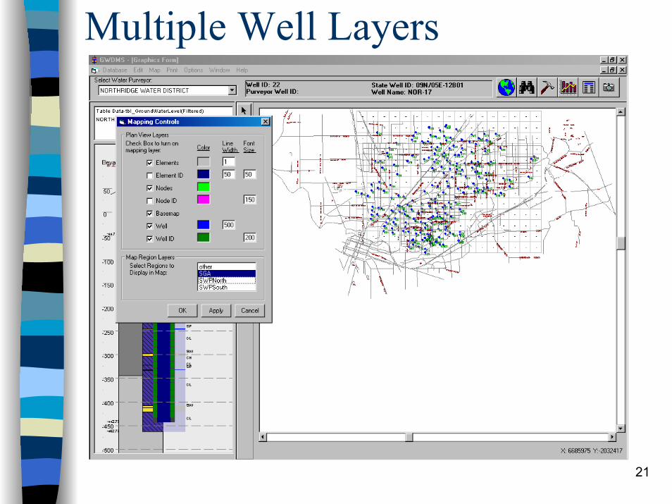
Multiple Well Layers

22
Graphical Features

23
Graphical Queries

24
Graphical Queries
25
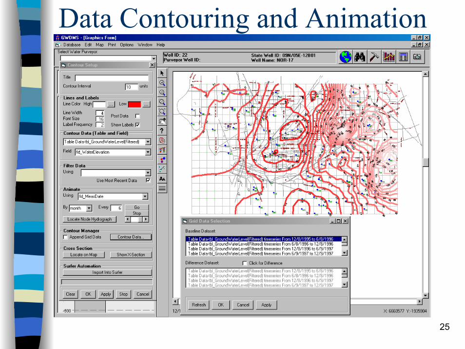
Data Contouring and Animation
26
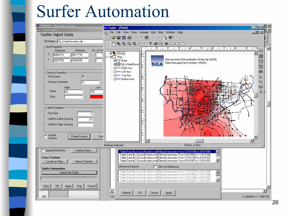
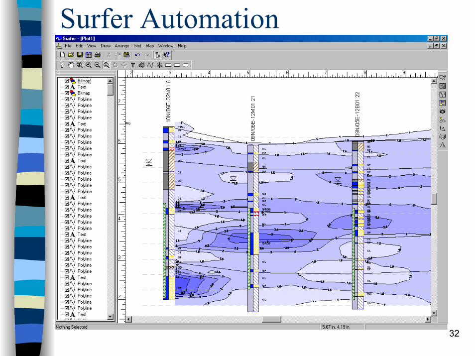
Surfer Automation

27
...And Surface Creations

28
Creating Lithology Profiles

29
Lithology Profiles
30
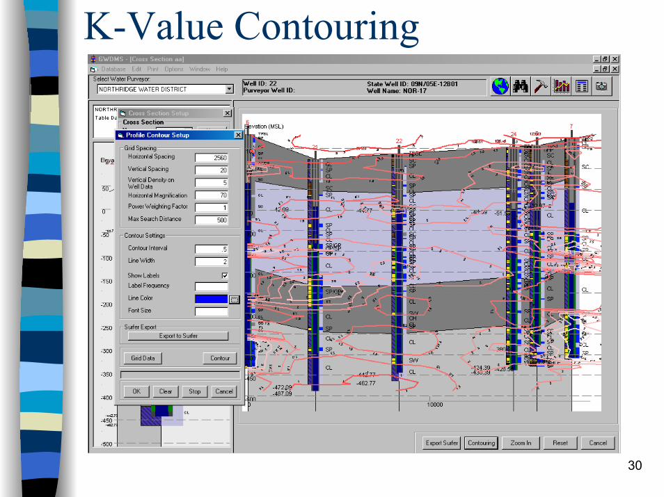
K-Value Contouring

31
Automated Surfer Presentation
32
Surfer Automation
33
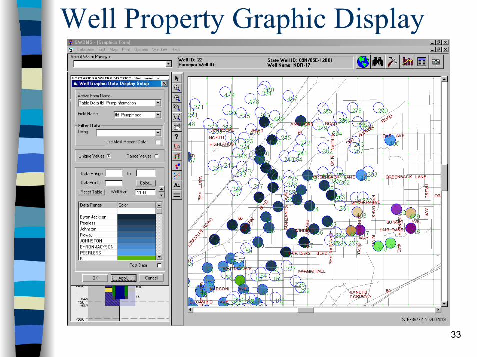
Well Property Graphic Display

34
Well Grouping

35
Next Steps...Phase 2 Development– Data Collection and Entry– QA/QC Tools– Drinking Water Source Assessment
Program– Agency Coordination in Use of DMS– Data Security Measures
Long-term vision…..