MASTER FARMER PROGRAM – SESSION III NATURAL RESOURCES CONSERVATION SERVICE SOIL AND WATER...
99
MASTER FARMER PROGRAM – SESSION III • NATURAL RESOURCES CONSERVATION SERVICE • SOIL AND WATER CONSERVATION DISTRICTS • OVERVIEW OF CONSERVATION PLANNING AND IMPLEMENTATION
-
Upload
howard-davidson -
Category
Documents
-
view
213 -
download
0
Transcript of MASTER FARMER PROGRAM – SESSION III NATURAL RESOURCES CONSERVATION SERVICE SOIL AND WATER...
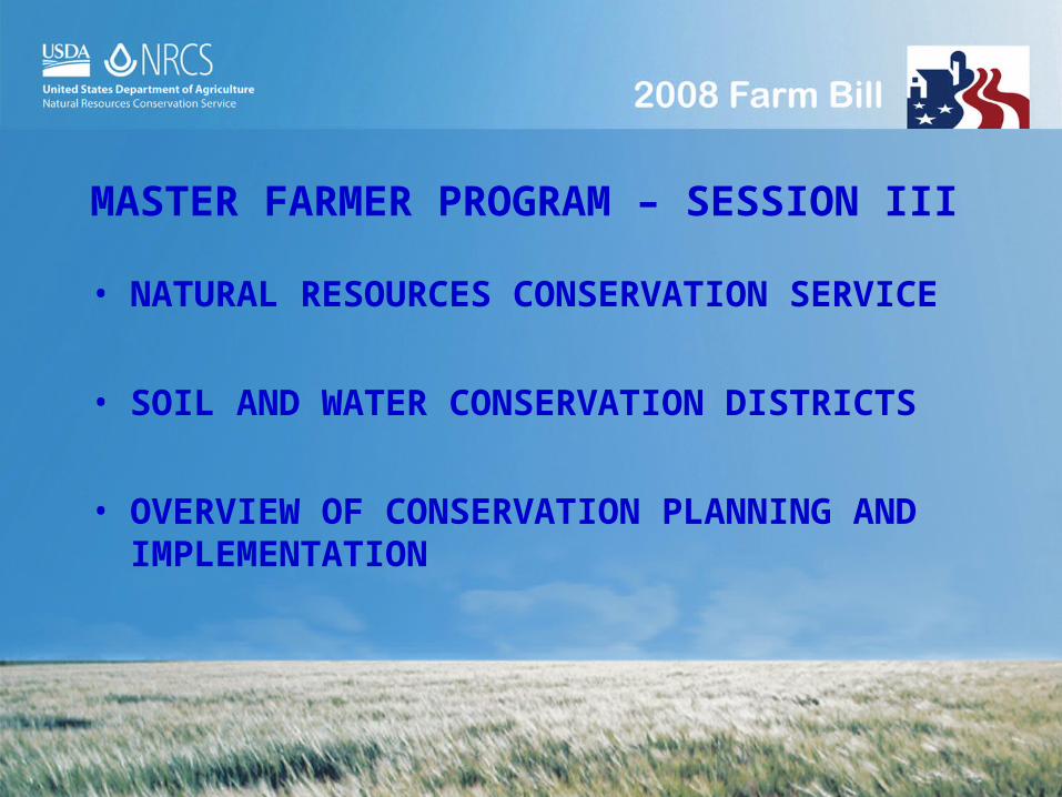
MASTER FARMER PROGRAM – SESSION III
• NATURAL RESOURCES CONSERVATION SERVICE
• SOIL AND WATER CONSERVATION DISTRICTS
• OVERVIEW OF CONSERVATION PLANNING AND IMPLEMENTATION

Natural Resources Conservation Service
• NRCS - WHO WE ARE• ROLE OF CONSERVATION DISTRICTS• INTRODUCTION TO NRCS PLANNING
PROCESS – RMS PLANS• QUALITY CRITERIA AND CONSERVATION
PRACTICES• CONSERVATION PROGRAMS

WHO WE ARE – NRCS HISTORY
On March 11, 1934 – A fierce windstorm from the Great Plains swept fine soil particles across areas as far away as Washington, D.C. Congress decides action must be taken immediately

WHO WE ARE – NRCS HISTORY
On April 27, 1935 – The Soil Conservation Service is established in the Department of Agriculture to help landowners carry out soil conservation practices.

WHO WE ARE – NRCS HISTORY
On February 27, 1937, President Franklin D. Roosevelt urges governors to enact conservation district law that will allow landowners to organize soil and water conservation districts.

A Partnership Approach
Since the Dust Bowl of the 1930’s, NRCS has worked with conservation districts and others throughout the US to help landowners, as well as Federal, State, Tribal and local governments and community groups.

THE ROLE OF CONSERVATION DISTRICTS
The purpose for the formation of the Soil and Water Conservation District is to keep decision making on natural resource conservation matters at the local level.

THE LOUISIANA SOIL & WATER CONSERVATION DISTRICT PROGRAM
An important link in local, state, federal and private cooperation in all conservation and natural resource projects
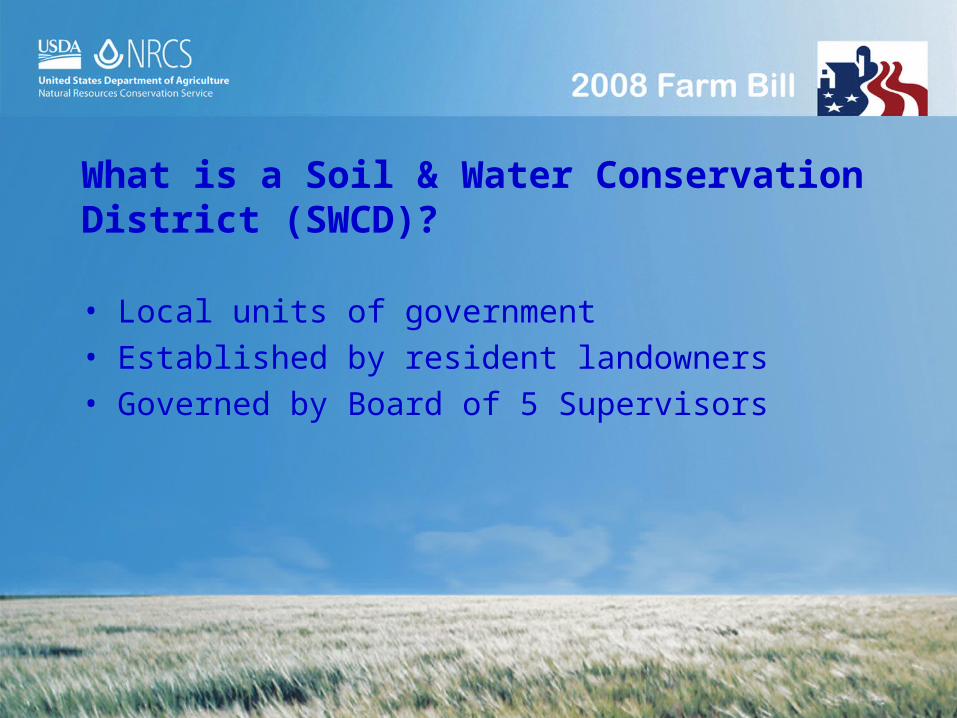
What is a Soil & Water Conservation District (SWCD)?
• Local units of government• Established by resident landowners• Governed by Board of 5 Supervisors
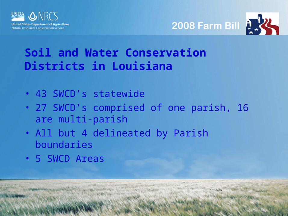
Soil and Water Conservation Districts in Louisiana
• 43 SWCD’s statewide• 27 SWCD’s comprised of one parish, 16 are multi-
parish• All but 4 delineated by Parish boundaries• 5 SWCD Areas

SWCD Boards of Supervisors• 5 Supervisors or Board Members
– Landowners– 3 locally elected– 2 appointed
• SWCD employees• SWCD monthly board meetings

Role of the SWCD
• Represent SWCD residents in steering NRCS programs to meet local resource concerns
• Oversee Employees/Conservation planning• Approval of conservation plans or projects• Harness $ and other resources for local
conservation efforts• Enter into additional agreements• Conservation Education• Equipment rental

OVERVIEW OF CONSERVATION PLANNING AND
IMPLEMENTATION

RESOURCE MANAGEMENT SYSTEM PLAN
Resource Management System plans are voluntary, site
specific, comprehensive and action oriented plans. The
plan contains natural resource information and a record
of decisions made by the client. The plan will describe
the schedule of operation and activities needed to
solve identified natural resource concerns.
The Nine Steps of Conservation Planning
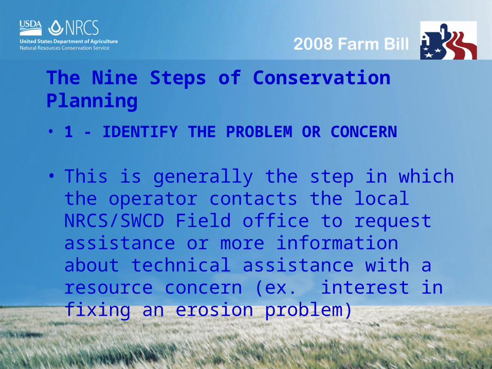
• 1 - IDENTIFY THE PROBLEM OR CONCERN
• This is generally the step in which the operator contacts the local NRCS/SWCD Field office to request assistance or more information about technical assistance with a resource concern (ex. interest in fixing an erosion problem)

• 2 - DETERMINE THE OBJECTIVES
• During this step the decision maker begins to determine practical objectives and becomes actively involved in the intensive thought and decision making process required when developing a conservation plan

• 3 - INVENTORY THE RESOURCES
• Existing features of the farm are recorded and documented at this time. (Aerial photos, soil maps, soil samples, farm records, and site visits are used to determine the resource conditions and physical features such as location of ditches, water control structures, etc)

• 4 - ANALYZE RESOURCE DATA
• During this step an analysis of the data is conducted with the decision maker to identify, quantify, indicate, and address resource concerns.
• New concerns or opportunities usually arise at this time during the planning process
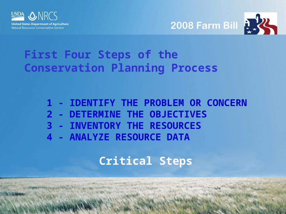
1 - IDENTIFY THE PROBLEM OR CONCERN2 - DETERMINE THE OBJECTIVES3 - INVENTORY THE RESOURCES4 - ANALYZE RESOURCE DATA
First Four Steps of the Conservation Planning Process
Critical Steps

• 5 - FORMULATE ALTERNATIVE SOLUTIONS
• During this step several alternative plans are created and reviewed
• Types of residue management (seasonal, mulch till, ridge till, no-till, etc)?
• Terrace or Grassed Waterway?• Choose alternate pesticides?
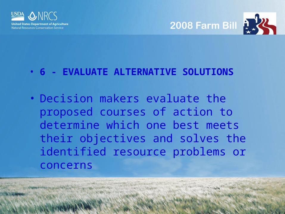
• 6 - EVALUATE ALTERNATIVE SOLUTIONS
• Decision makers evaluate the proposed courses of action to determine which one best meets their objectives and solves the identified resource problems or concerns

• 7 - MAKE DECISIONS
• The final decision on a planned course of action is made here.
• The plan is written and plan maps (with features) are produced. A logical sequence of events is established. The Resource Management System (RMS) plan is completed.

• 8 - IMPLEMENT PLAN
• The land manager and decision maker is now ready to implement the plan of action.
• Technical Assistance is provided to properly install needed practices and monitor conditions.
• Progress is documented in the plan.

• 9 - EVALUATION OF RESULTS
• Results are reviewed after implementation of the plan has occurred.
• Ongoing technical assistance is provided to evaluate results and address changes in the managers objectives and use of new technology.

NATIONAL ENVIRONMENTAL POLICY ACT (NEPA) COMPLIANCE

NEPA
• Resource Management Plans must comply with NEPA in order to be eligible for technical and financial assistance.

ENVIRONMENTAL DOCUMENTS
• Environmental Evaluation (EE)• LA-CPA-52• Environmental Assessment (EA)• Environmental Impact Statement (EIS)• Notice of Intent (NOI)

ENVIRONMENTAL DOCUMENTS
The Louisiana Environmental Evaluation (EE) is “a concurrent part of the planning process in which the potential long-term and short-term impacts of an action on people, their physical surroundings, and nature are evaluated and alternative actions explored”.
The LA-CPA-52 form is used to document the results of the environmental evaluation.

NATURAL RESOURCES
• Threatened & Endangered Species
• Natural Areas.• Scenic Beauty• Floodplain
Management• Wetlands
• Prime & Unique Farmlands
• Coastal Zone Areas • Wild and Scenic
Rivers and Streams• Riparian Areas• Cultural Resources

THREATENED AND ENDANGERED SPECIES
The Louisiana black bear inhabits bottomland hardwood forests. Conservation practices generally provide positive impacts for threatened and endangered species. Threatened and Endangered Species may be either federal or state listed plants and animals.

THREATENED AND ENDANGERED SPECIES
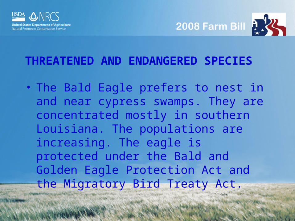
• The Bald Eagle prefers to nest in and near cypress swamps. They are concentrated mostly in southern Louisiana. The populations are increasing. The eagle is protected under the Bald and Golden Eagle Protection Act and the Migratory Bird Treaty Act.


NATURAL AREAS AND SCENIC BEAUTY
• Natural areas and scenic beauty are present throughout the rural Louisiana landscape. Natural areas are those areas that have been disturbed very little by man. Natural areas may be designated by the federal government or private entities. Scenic beauty may be created as a result of our activities on the land (buffers, ponds, etc.)
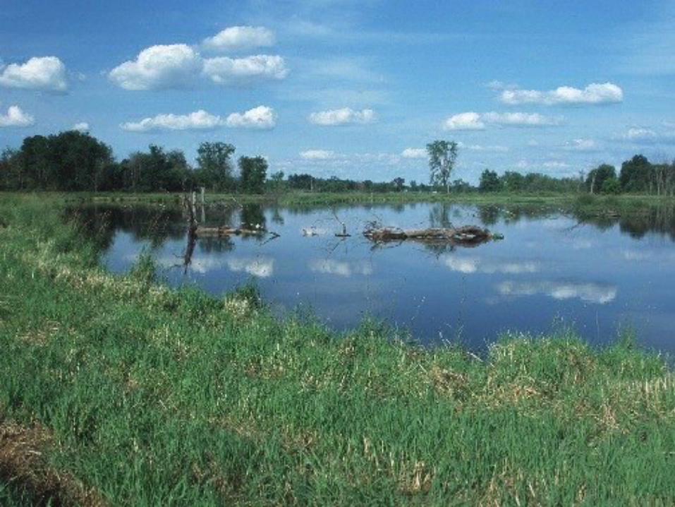
FLOOD PLAIN MANAGEMENT
• Technical and financial assistance for the following land uses is compatible with Executive Order 11988 (Flood Plain Management): Agricultural flood plains that have been used for producing food, feed, forage, fiber, or oilseed for at least 3 of the last 5 years before the request for assistance. Normal agricultural activities are not regulated.

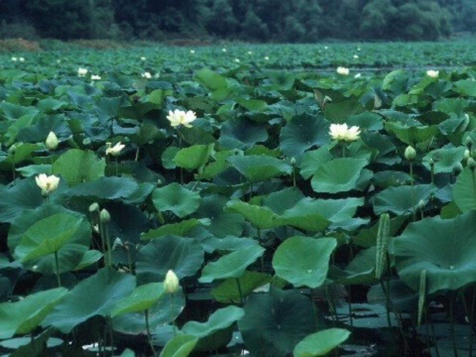
WETLANDS OF LOUISIANA
• Many different types of wetlands occur in Louisiana. In order to be classified as a wetland, an area must have hydrophytic vegetation, hydric soils and hydrology. Always consult NRCS and/or the COE before beginning any construction activities in wetlands (Swampbuster, EO 11990, CWA)


PRIME AND UNIQUE FARMLANDS
• Prime Farmland-land that has the best combination of physical, chemical and biological characteristics for producing food, feed, fiber and oil seed crops.
• Unique Farmland - land other than prime farmland that is used for the production of specific high-value food and fiber crops.

COASTAL ZONE MANAGEMENT AREAS
• Coastal Zone Management Act (CZMA)
– Section 307 of CZMA specifies that actions or activities with the Coastal Zone done by a Federal Agency or on behalf of or through a Federal Agency must be consistent with the State’s Coastal Zone Management Plan.

RIPARIAN AREAS
• Riparian areas are ecosystems that occur along watercourses or water bodies. They are distinctly different from the surrounding lands because of unique soil and vegetative characteristics that are strongly influenced by free or unbound water in the soil.

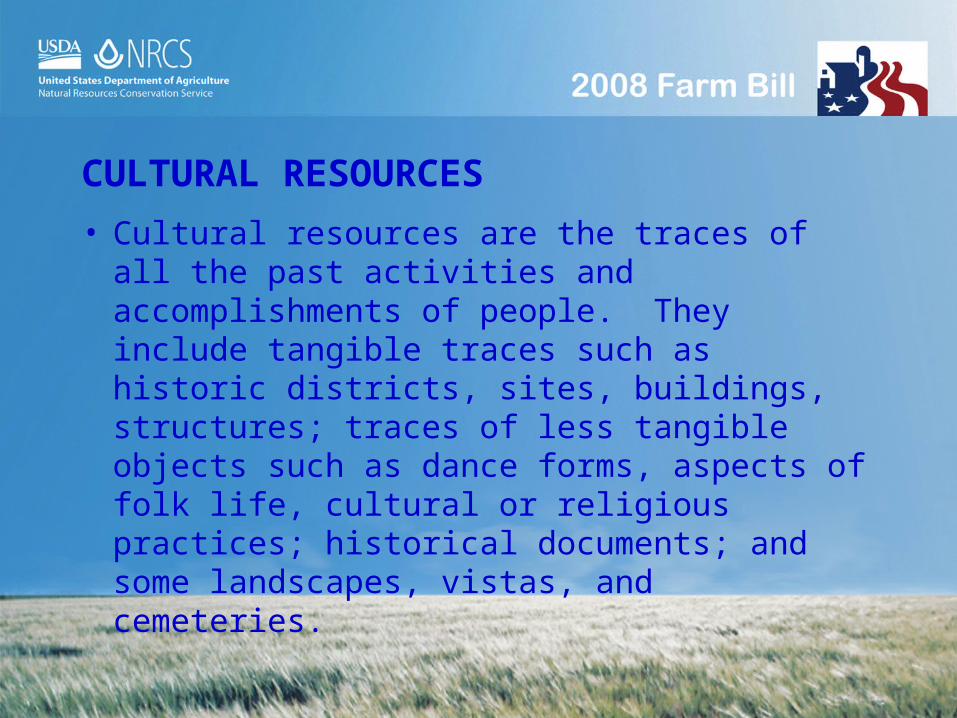
CULTURAL RESOURCES
• Cultural resources are the traces of all the past activities and accomplishments of people. They include tangible traces such as historic districts, sites, buildings, structures; traces of less tangible objects such as dance forms, aspects of folk life, cultural or religious practices; historical documents; and some landscapes, vistas, and cemeteries.

RESOURCE MANAGEMENT SYSTEM PLANS AND QUALITY CRITERIA
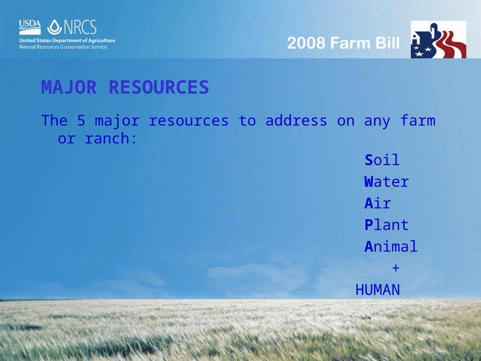
MAJOR RESOURCES
The 5 major resources to address on any farm or ranch:
Soil
Water
Air
Plant
Animal
+
HUMAN

SOIL (EROSION, HEALTH, CONTAMINANTS)
The resource concerns associated with soil include
erosion, health, and contaminants. These resource
concerns include sheet and rill, ephemeral and gully
erosion, soil compaction, structure and organic matter
and soil contamination from nutrients, salinity, heavy
metals and pesticides.

SOIL EROSION
Erosion occurs primarily as sheet and rill, ephemeral,
and gully erosion. The minimum level of treatment
requires that erosion does not exceed the soil loss
tolerance of the various soils on the farm. Most soils
in Louisiana has a soil loss tolerance of 5 tons/acre

HOW IS SOIL EROSION PREDICTED?
Sheet and Rill Erosion is determined by the
Revised Universal Soil Loss Equation (RUSLE)

The soil is mapped as a Bruin Silt Loam Soil.
This field has a 0.2 inch fall per 100 feet and has a slope length of 200 feet.

Soil loss Tolerance is 5 Tons per acre Soil Erodibilty factor is .43

If the field is planted to corn fall disk, conventional plant on prepared seedbed in spring, cultivation for weed control:
Soil Loss is 2.4 tons of soil movement per acre.

If the field is planted to corn conventional planting on prepared seedbed, crop residue and native vegetation, cultivation for weed control:
Soil Loss is 1.3 tons of soil movement per acre.

The field is mapped as a Dexter silt loam.
This field falls 2.0 feet in 100 feet

Soil loss Tolerance is 5 Tons per acre
Soil Erodibilty factor is .43

If the field is planted to corn fall disk, conventional plant on prepared seedbed in spring, cultivation for weed control:
Soil Loss is 11.5 tons of soil movement per acre.

If the field is planted to corn conventional planting on prepared seedbed, crop residue and native vegetation, cultivation for weed control: Soil Loss is 6.5 tons of soil movement per acre.

SOIL HEALTH
Problems occur with soil health when organic matter,
structure, compaction, and rooting depth are not
suitable for plant growth. Quality criteria for soil health
are met with the soil condition is positive

SOIL CONTAMINANTS
Soil contaminants include salts, nutrients, heavy metals
and pesticides. Minimum treatment requires that salinity
levels cause less than a 10% decrease in yield,
nutrient application does not exceed soil storage/plant
uptake capacities based on soil test recommendations.
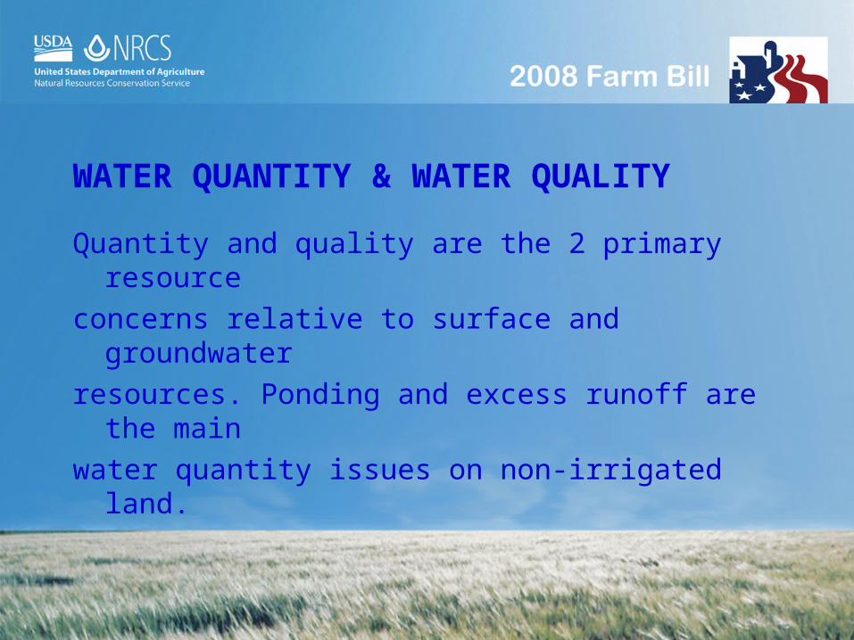
WATER QUANTITY & WATER QUALITY
Quantity and quality are the 2 primary resource
concerns relative to surface and groundwater
resources. Ponding and excess runoff are the main
water quantity issues on non-irrigated land.

WATER QUANTITY - PONDING
Ponding of water because of inadequate outlets is a
major water quantity concern. Quality criteria are met
when water is managed in such a way, consistent with
wetland regulations, that limits surface ponding and
periods of saturation.

Ponding

WATER QUANTITY – EXCESS RUNOFF
Inefficient use of available rainfall results in excessive
runoff which may lead to moisture deficits during the
growing season.

Excess Runoff
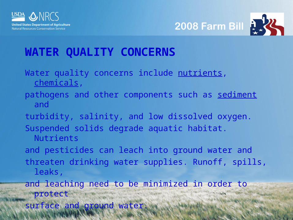
WATER QUALITY CONCERNS
Water quality concerns include nutrients, chemicals,
pathogens and other components such as sediment and
turbidity, salinity, and low dissolved oxygen.
Suspended solids degrade aquatic habitat. Nutrients
and pesticides can leach into ground water and
threaten drinking water supplies. Runoff, spills, leaks,
and leaching need to be minimized in order to protect
surface and ground water.

Suspended Solids & Turbidity

AIR RESOURCE CONCERNS
Particulate matter, chemical drift, ozone precursors, greenhouse gasses, ammonia and odor have been identified as contributors to degraded air.

AIR RESOURCE CONCERNS
Particulate matter suspended in air reduces visibility,
adversely impacts human health, and may deposit
in undesirable areas. Agriculture burning can be a
significant source of particulate matter if not done
properly. Follow the Louisiana’s Smoke Management
Guidelines and individuals should be certified by LDAF
as certified prescribed burn managers.

Smoke Problems

CHEMICAL DRIFT
Materials applied to treat agricultural pests can
volatilize and drift downwind affecting non-target crops,
surface water, livestock and humans. Pesticides should
be applied in strict adherence with all federal, state and
local regulations. Pesticides should be applied
according to label restrictions and according to LSU
AgCenter recommendations.
PLANT RESOURCE CONCERNS
Plant condition is a resource concern when productivity
and quality fail to meet the producer’s expectation. Low
fertility, improper pH, unsuitable sites, disease, and
poor management reduce plant productivity and quality.
Quality criteria are met when plants are suitable to the
site, do not negatively impact other resources and yield
is at least 75% of site potential.

Insects, weeds, pathogens, and vertebrates reduce
yield and quality of desirable plants. Noxious plants
compete for sunlight, water, space and nutrients.

ANIMAL RESOUCE CONCERNS
Animal resource concerns include fish, wildlife, and
domesticated livestock. We are mainly concerned with
the availability and quality of food, water and cover for
the species of concern. The land needs to support the
necessary plant species in adequate diversity,
abundance, and physical structure for the wildlife.
ANIMAL RESOURCE CONCERN
It is important that available feed and forage is
sufficient to meet the nutritional and production needs
of the kinds and class of livestock. The livestock are
sufficiently protected from harsh environmental
conditions (artificial or natural shelter). Sufficient water
of acceptable quality is provided and adequately
distributed.
INSTALLATION OF NEEDED PRACTICES
After the resource concerns are identified, NRCS will
recommend conversation practices that will correct the
resource problem. In many situations, producers
qualify for one or more USDA cost share programs that
assist producers with installation of needed practices.
These programs are detailed in the 2008 Farm Bill
known as the Food, Conservation and Energy Act of
2008.

CROPLAND PRACTICES
Conservation Cover
Contour Farming
Cover Crop
Critical Area Planting
Dike
Diversion

CROPLAND PRACTICES
Field Border
Filter Strip
Grade Stabilization Structure
Grassed Waterway
Irrigation Land Leveling
Irrigation or Regulating Reservoir

CROPLAND PRACTICES
Irrigation System, Micro Irrigation
Irrigation System, Sprinkler
Irrigation Water Conveyance, Pipeline
Irrigation Water Management
Precision Land Forming
Residue Mgmt (No-Till, Ridge Till, Mulch Till, Seasonal)

CROPLAND PRACTICES
Sediment Basin
Structure for Water Control
Terrace
Underground Outlet
Waste Storage Facility
Water and Sediment Control Basin
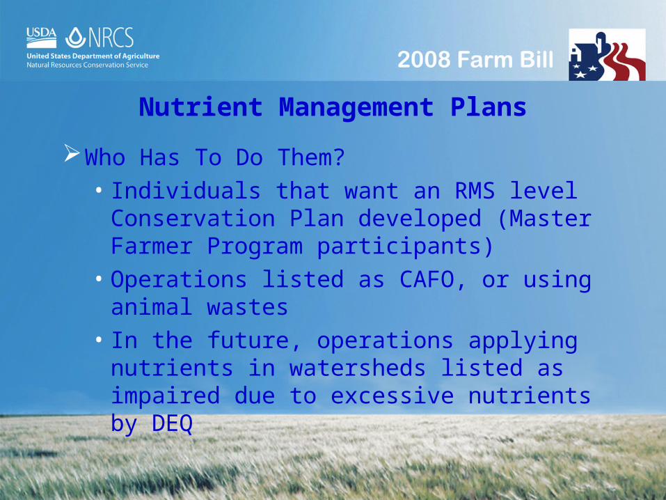
Nutrient Management Plans
Nutrient Management Plans
Who Has To Do Them?• Individuals that want an RMS level
Conservation Plan developed (Master Farmer Program participants)
• Operations listed as CAFO, or using animal wastes
• In the future, operations applying nutrients in watersheds listed as impaired due to excessive nutrients by DEQ

Nutrient Management Plans
What Does NMP Consist Of?• Soil Test Results• Farm maps • Yield history to establish yield goals• Records on nutrient application history• Nutrient “Balance Sheet”• Recommended application rates, source, timing,
and method of application to minimize runoff to surface and ground waters
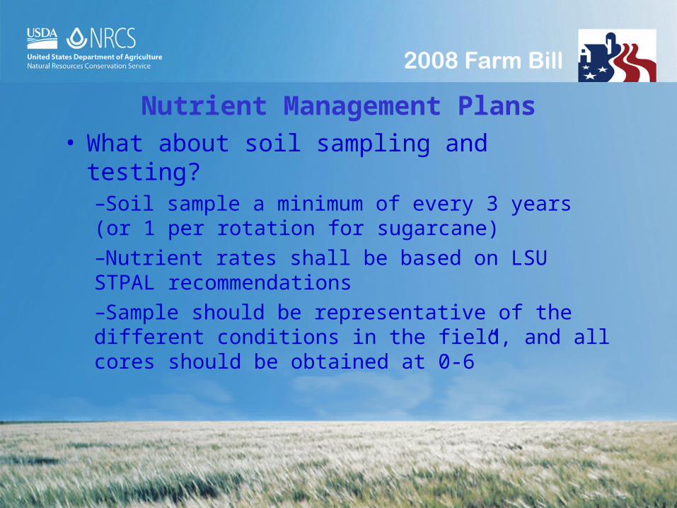
Nutrient Management Plans
• What about soil sampling and testing?–Soil sample a minimum of every 3 years (or 1 per rotation for sugarcane)–Nutrient rates shall be based on LSU STPAL recommendations–Sample should be representative of the different conditions in the field, and all cores should be obtained at 0-6”
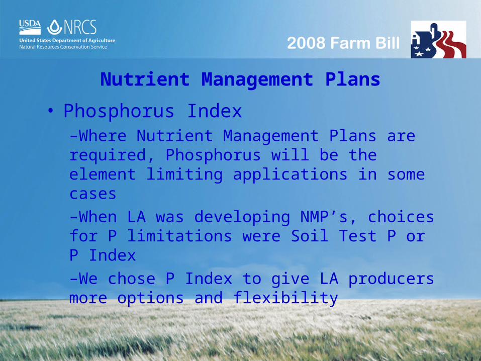
Nutrient Management Plans
• Phosphorus Index–Where Nutrient Management Plans are required, Phosphorus will be the element limiting applications in some cases–When LA was developing NMP’s, choices for P limitations were Soil Test P or P Index–We chose P Index to give LA producers more options and flexibility

Nutrient Management Plans
• Phosphorus Index Takes Into Account–Erosion Potential–Runoff Potential–Subsurface Drainage–Filter Strips–Watershed Priority–Soil Test P–P Application Rate–P Application Method

Summary
Nutrient Management makes sense economically and environmentally
Plans will be thorough - will list all forms and management techniques of nutrients being applied and how to minimize movement to water - something farmers should be doing

Nutrient Management Plans
For help with your NMP call…– NRCS– LSU AgCenter– LDAF– Certified crop
advisors– Private consultants
CONSERVATION PROGRAMS2008 FARM BILL

90
The path to the 2008 Farm Bill1985 Food Security Act
*Highly Erodible Land protection (HEL) *Reduction of wetland conversion (Swampbuster) *Conservation Reserve Program
1990 Food Agricultural Conservation & Trade Act Continues HEL & Swampbuster provisions Continues CRP *Wetland Reserve Program Authorized
1996 Federal Agriculture Improvement & Reform Act *Environmental Quality Incentives Program begins *Wildlife Habitat Quality Incentives Program begins WRP, CRP continued
2002 Farm Security & Rural Investment Act *Conservation Security Program
91
2008 Farm Bill: Food, Conservation and Energy Act
The Food, Conservation, and Energy Act of 2008 (2008 Farm Bill) became law on May 22, 2008
The legislation includes fifteen diverse titles, including broad provisions for conservation, energy and tax policy
Enactment of the bill followed a multiple year process of deliberation and debate yielding a final product with some but not all of the policy recommendations offered by the United States Department of Agriculture
92
2008 Farm Bill Highlights
Increases funding for Conservation programs
Focuses on Agricultural and Forestry Working Lands
Environmental Quality Incentives Program expanded
Continues Wildlife Habitat Incentives Program
Agricultural Management Assistance expanded to include Hawaii
93
Conservation Stewardship Program begins FY2009 with an acreage allocation and a ranking system. Offers flexibility to be a nationwide program
Wetlands Reserve Program appraisal issues resolved
Farm and Ranch Lands Protection Program funding expanded
Creates an Open Fields Program to encourage public access to private land for hunting and fishing
2008 Farm Bill Highlights (2)

94
Conservation Programs
WORKING LANDS PROGRAMS
Environmental Quality Incentives Program (EQIP)
Agricultural Water Enhancement Program (AWEP) Conservation Innovation Grants (CIG)
Wildlife Habitat Incentives Program (WHIP)
Agricultural Management Assistance (AMA)

95
Environmental Quality Incentives Program (EQIP)
EQIP offers financial and technical assistance to agriculture and forestry producers to address resource concerns
-as well as-
promote agricultural production, forest management, and environmental quality as compatible goals

96
EQIP Key PointsReauthorized until 2012
Validates NRCS forestry activities by specifically referencing forest management
Expanded to include energy conservation benefits associated with conservation practices
Places a priority on reduction of water use or no new lands irrigated

97
EQIP Key Points
For organic producers:
Specific section on assistance with conservation practices utilized for organic production and transition
Payments for practices with organic production benefits limited to not more than $20,000 per year; $80,000 in 6 years
98
EQIP Key Points
For limited resource, socially disadvantaged and beginning farmers or ranchers:
Up to 90 percent cost share or at least 25 percent above the otherwise applicable rate
Advance payments to cover up to 30% of the cost of materials to install conservation improvements

99
For More Information, visit:
Your local USDA Service Center
Your local conservation district
http://www.nrcs.usda.gov
http://www.la.nrcs.usda.gov