Map$of$Byzantine$Constantinople$ - WordPress.com ·...
6
Map of Byzantine Constantinople Constantinople in the Byzantine era
Transcript of Map$of$Byzantine$Constantinople$ - WordPress.com ·...
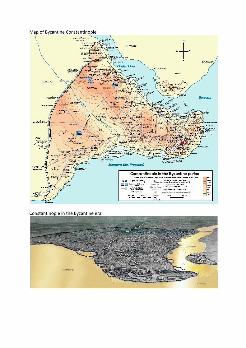
Map of Byzantine Constantinople
Constantinople in the Byzantine era

Map of Constantinople (1422) by Florentine cartographer Cristoforo Buondelmonti is the oldest surviving map of the city, and the only one that predates the Turkish conquest of the city in 1453
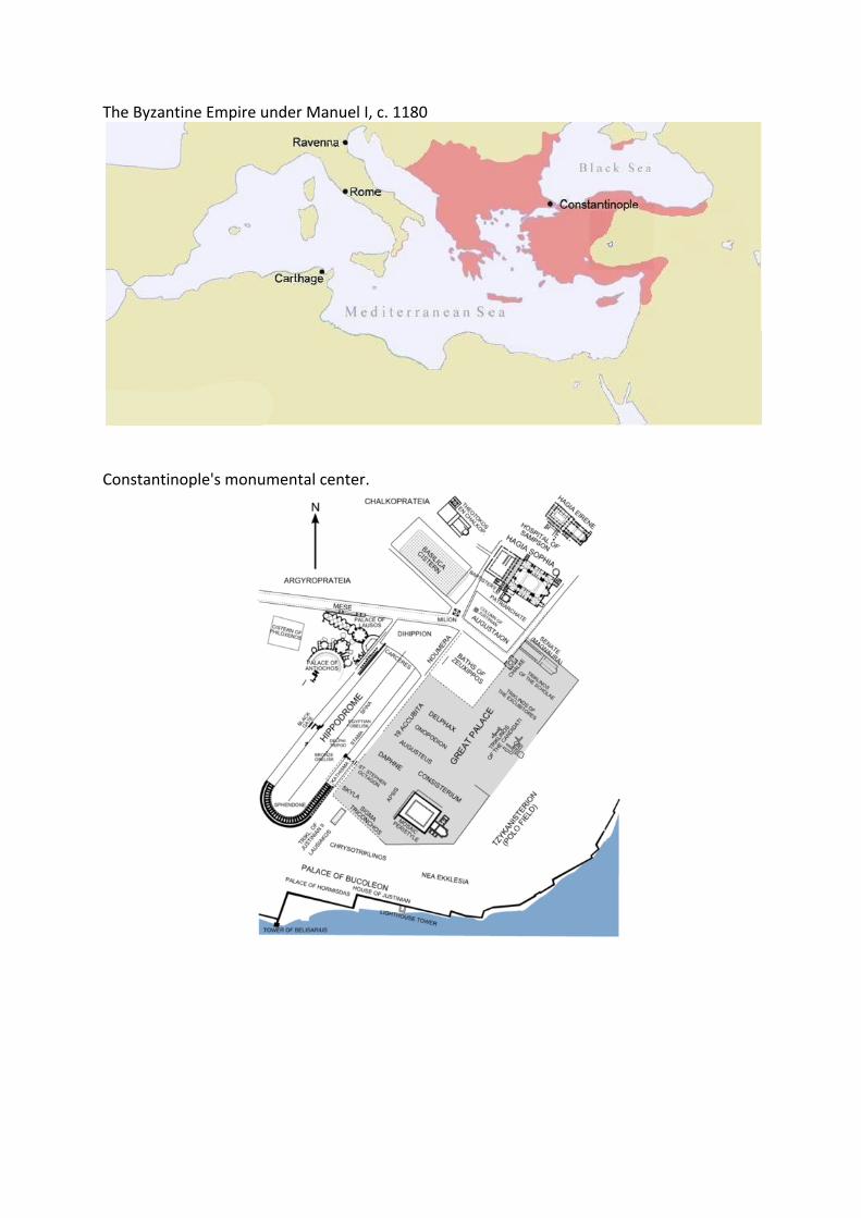
The Byzantine Empire under Manuel I, c. 1180
Constantinople's monumental center.
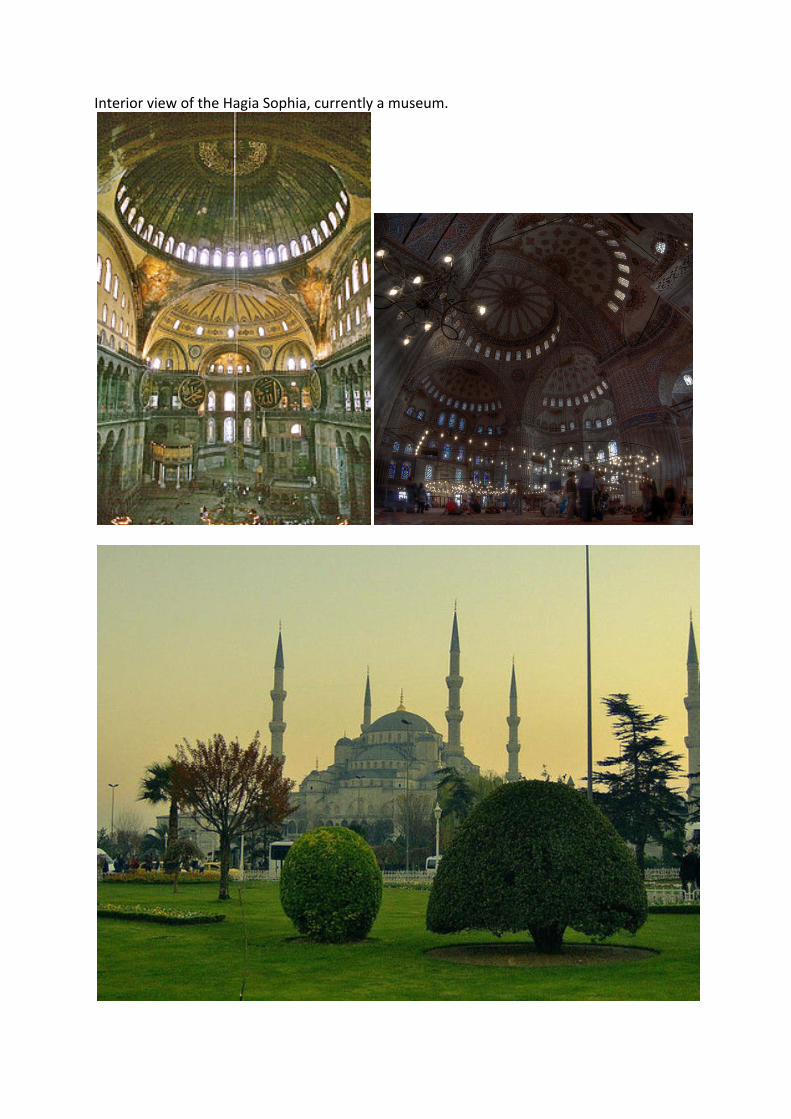
Interior view of the Hagia Sophia, currently a museum.
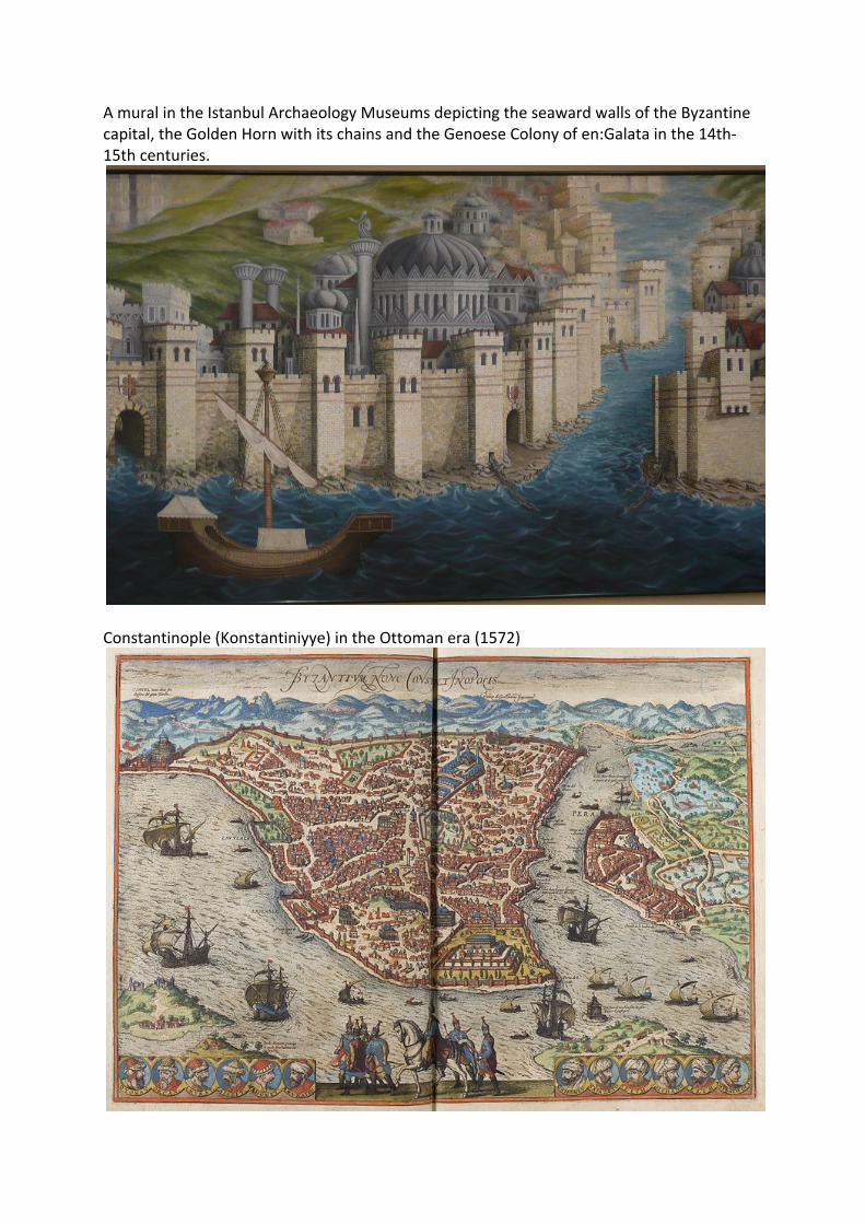
A mural in the Istanbul Archaeology Museums depicting the seaward walls of the Byzantine capital, the Golden Horn with its chains and the Genoese Colony of en:Galata in the 14th-‐15th centuries.
Constantinople (Konstantiniyye) in the Ottoman era (1572)

Page depicting Constantinople in the Nuremberg Chronicle published in 1493, forty years after the city's fall to the Muslims