
Lesson 3a: Mapping an Oval Earth on a Flat Surface One orange * paper towels One marker * half sheet...
37
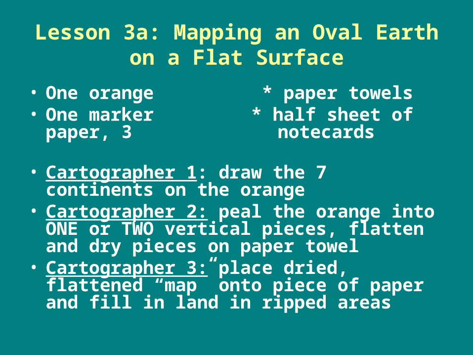
Lesson 3a: Mapping an Oval Earth on a Flat Surface • One orange * paper towels • One marker * half sheet of paper, 3 notecards • Cartographer 1 : draw the 7 continents on the orange • Cartographer 2: peal the orange into ONE or TWO vertical pieces, flatten and dry pieces on paper towel • Cartographer 3: place dried, flattened “map” onto piece of paper and fill in land in ripped areas
-
Upload
chrystal-french -
Category
Documents
-
view
214 -
download
0
Transcript of Lesson 3a: Mapping an Oval Earth on a Flat Surface One orange * paper towels One marker * half sheet...
Lesson 3a: Mapping an Oval Earth on a Flat Surface
• One orange * paper towels• One marker * half sheet of paper,
3 notecards
• Cartographer 1: draw the 7 continents on the orange
• Cartographer 2: peal the orange into ONE or TWO vertical pieces, flatten and dry pieces on paper towel
• Cartographer 3: place dried, flattened “map” onto piece of paper and fill in land in ripped areas

Cooperative LearningEach student answers on their
card• What problems are created by
mapping a globe on a flat surface?
• Why do humans use flat maps if there are problems?
• Would you have been able to answer the above questions without the orange activity? (feedback for me)
Projection
• Representing the earth’s shape on a flat surface

1.Alaska is at least twice the size of Mexico2. Greenland is as large as Africa 3. South America and Europe are almost equal size

4.Alaska is at least twice the size of Mexico5. Greenland is as large as Africa 6. South America and Europe are about equal in size

7.Alaska is at least twice the size of Mexico8. Greenland is as large as Africa 9. South America and Europe are about equal in size

Mercator – 1500s
• Scale is distorted – especially at poles
• Shape is true• Shows
accurate distance
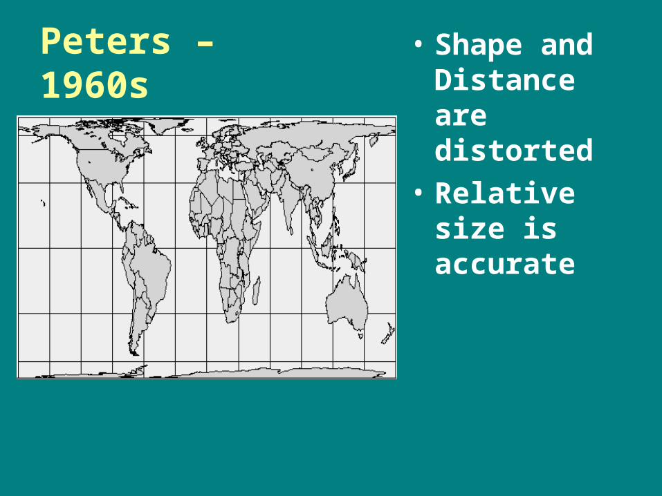
Peters – 1960s
• Shape and Distance are distorted
• Relative size is accurate

Robinson –
1980s
• Uses curved grid lines instead of straight
• Shows less distorted shape and size

Lesson 3c: Review Latitude and Longitude• Hemisphere: half of the earth, divided into northern
and southern at the equator, or western and eastern at the Prime Meridian.
• Equator: an imaginary line drawn around the earth equally distant from both poles, 0 degrees latitude
• Prime Meridian:the earth's zero of longitude, passes through Greenwich, England.
• Latitude: degrees north or south of the equator
• Longitude: degrees east or west of the Prime Meridian

QuickTime™ and a decompressor
are needed to see this picture.
Lesson 4a: Dividing the Earth’s Surface Using Time
• Time Zones dividing earth’s surface using time, based on GMT, necessary for modern travel
• Greenwich Mean Time (GMT) location of where time zones are set from, runs through England
• Offset Time Zones – half hour time zones


Lesson 5a: Scale of Miles
• Ratio of distance on a map to the actual earth’s surface

QuickTime™ and a decompressor
are needed to see this picture.
Movement: People, goods and ideas move continuously. This is spatial interaction
Region: an area defined by common characteristics
Place: every place has special characteristics that make it different from every other place
Location – every place on earth has a location. Location is defined in terms of absolute and relative location
Human Environment Interaction: People are constantly interacting with their surroundings.
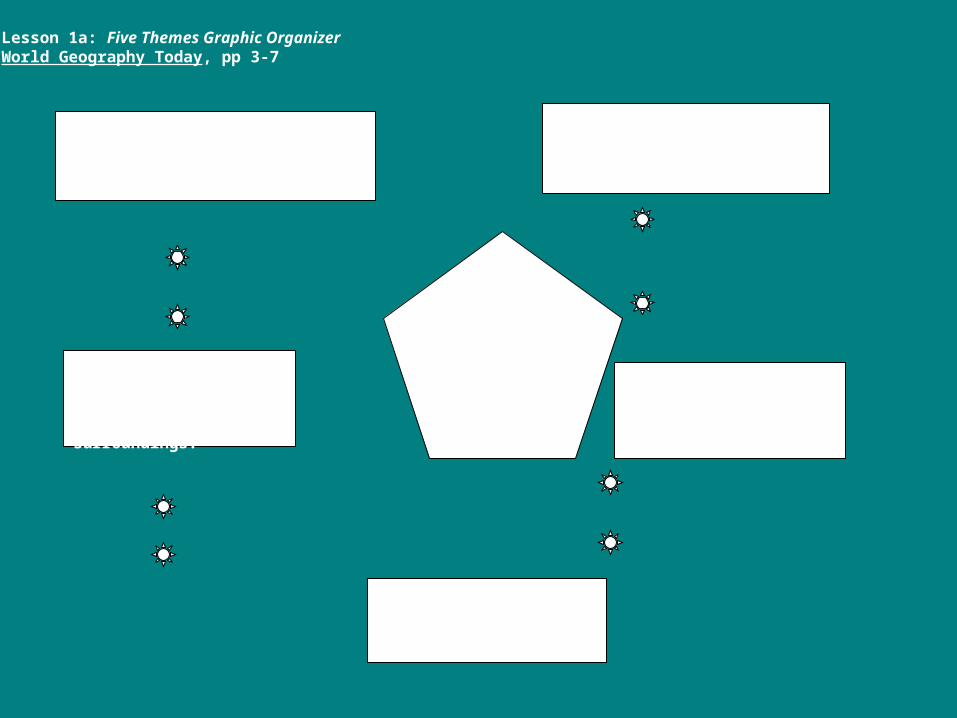
Lesson 1a: Five Themes Graphic Organizer World Geography Today, pp 3-7

Example 1

Example 2
(Paris)

Example 3 South Africa

Example 4

Xpeditions Hall, Places and Regions, X4


Lesson 7a: Graphs, Charts and Maps
6. What are at least two top oil consuming countries that probably need to buy MOST of its oil from another country?
8. What are the countries from question 7 doing with the oil they don’t consume
9. Scotland, Wales, N. Ireland and England = one country (United Kingdom)
17. Does the region from question 16 have reasonable access to safe drinking water?
19. Which region should be the highest consumer of bottled water because it is safe?

Topic Sentence

Body
• Define each theme
• Describe each theme
• Connect the theme to an example from page 4, Lesson 2a.

Lesson 6a: Map SkillsScale of Miles
• Scale of Miles - ratio of distance on a map to distance on the actual earth
• Projection - representing a sphere (3D, earth) on a plane (2D, flat map)


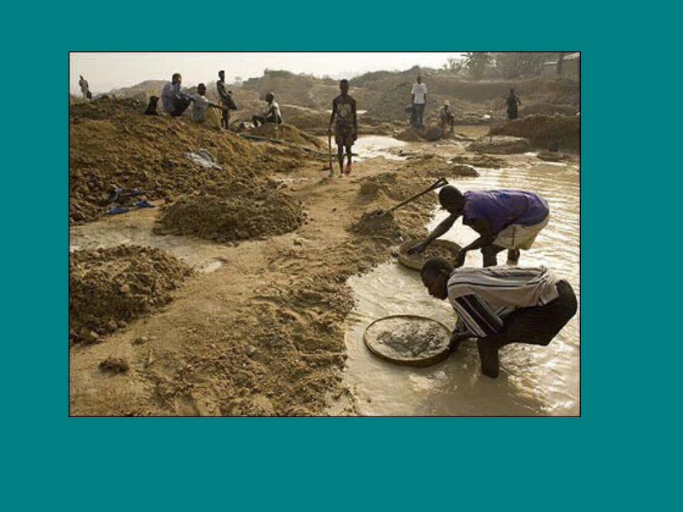
Lesson 9a: Place - South Africa and Apartheid
QuickTime™ and aSorenson Video 3 decompressorare needed to see this picture.

Clip 1 Beginnings
QuickTime™ and aSorenson Video 3 decompressorare needed to see this picture.

Clip 2 African National Congress
QuickTime™ and aSorenson Video 3 decompressorare needed to see this picture.

Clip 3: End of Apartheid
QuickTime™ and aSorenson Video 3 decompressorare needed to see this picture.

ApartheidDefinition in your own words
Sketch
Characteristics Examples of Characteristics

Nelson MandelaDefinition in your own words
Characteristics as a person
Justification for Violence Personal Association
When I think of Nelson Mandela I think of…..

Video
• http://www.vh1.com/video/play.jhtml?artist=760446&vid=125203

A Dry White Season• Ben – Afrikaaner, Dutch descent• Stanley – Zulu, lawyer• Melanie – English descent, journalist
• Video Questions• Describe how Blacks are treated by the
justice system. What happens when people, Black or white question the system?
• Describe the difference in the lifestyle of blacks and whites, such as jobs, homes, transportation, schools.
• How did Benjamin’s life change because of his involvement in Gordon and Jonathan’s cases?


![Genetics Notecards[1]](https://static.fdocuments.net/doc/165x107/577d23c11a28ab4e1e9ab0a6/genetics-notecards1.jpg)


