Lesson 3.5b Analysis of the Operating Environment (AOE ...
26
Lesson 3.5b Analysis of the Operating Environment (AOE) Operating Environment Evaluation; Analysis of the Physical Terrain (PT)
Transcript of Lesson 3.5b Analysis of the Operating Environment (AOE ...

Lesson 3.5bAnalysis of the Operating
Environment (AOE) Operating Environment Evaluation; Analysis of the Physical Terrain (PT)

Content
• APIR and APII• Mapping• Terrain features and key facilities • LLOCs, WLOCs, relief and vegetation
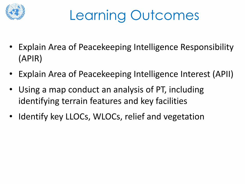
Learning Outcomes
• Explain Area of Peacekeeping Intelligence Responsibility (APIR)
• Explain Area of Peacekeeping Intelligence Interest (APII)
• Using a map conduct an analysis of PT, including identifying terrain features and key facilities
• Identify key LLOCs, WLOCs, relief and vegetation

Relevance
• Movement is constrained and restrained by physicalterrain (PT)
• Physical terrain is affected by climate and weather• Human, information domains exist in physical terrain• COAs can exploit the opportunities that Physical
Terrain provides• Terrain affects the COAs available to actors that
pose as a threat to the UN mandate

Activity
Importance of Physical Terrain in military operations
Instructions:• Discuss what is meant by the ”Physical Terrain” (PT)• Discuss how the Physical Terrain is affected by climate and
weather and its impact on the conduct of military operations.• Illustrate by using examples from military history or your own
experiences where a good analysis of the Physical Terrain resulted in the success of a mission and/or where a poor analysis of the Physical Terrain seriously hampered or even prevented the accomplishment of a mission
Approximate Time: 15-20 minutes

Where is Analysis of Physical Terrain in the AOE process?
• Analysis and conclusions of PT, plus conclusions on Climate & Weather
• Analysis and conclusions on Human Terrain (HT)
• Analysis and conclusions on Information Terrain (IT)

Physical Terrain is one of 3 interconnected layers in OEE
Three ‘terrains’ are interrelated

Physical Terrain
• Living space for actors:‒ Live on land and off ‒ Influenced by where, when they can live move and
work‒ How they use it
• Focus on Area of Peacekeeping-Intelligence Responsibility (APIR)
• And wider Area of Peacekeeping-Intelligence Interest (APII)
• Helps visualization of OE

APIR and APIIAPIR. area given to UN
Forces; has responsibility for the production and
provision of peacekeeping-intelligence /
understanding
APII. area beyond control of UN Forces and is
outside the APIR, but this area has relevance to
conduct of UN mission and therefore, be
considered and evaluated
II
II
IIII Our own Area of OperationsAPIR
II
IIIICo
untr
y bo
rder
Coun
try
bord
er
APII
APII
APIIAPII

Learning Activity
How to analyze and evaluate the Physical Terrain (PT):
• Situation:• Use the scenario to identify APIR and APII
• Task:• Define the Area of Peacekeeping Intelligence
Responsibility (APIR) and the Area of Peacekeeping Intelligence Interest (APII)
• Time: Approx. 10 min -group work and discussion
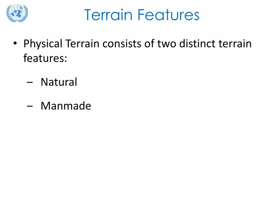
Terrain Features
• Physical Terrain consists of two distinct terrain features:
‒ Natural
‒ Manmade

Learning Activity
• Situation:• Use the scenario to identify terrain features
• Task:Use mapping and other assets to:‒ Identify physical terrain features (Natural and man-
made)‒ Mark on mapKey Question: How will this affect the actions of the human terrain?
• Approx. Time: 10 Min
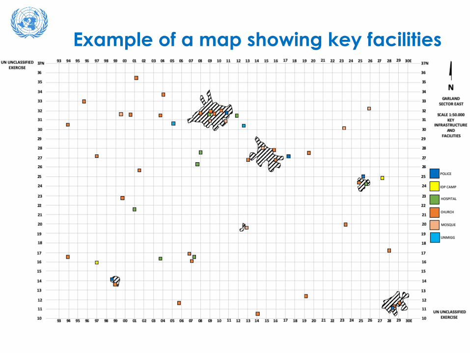
Example of a map showing key facilities

Learning Activity
Example of 3CF analysis of key facilities in Sector EAST

Learning Activity
Key Facilities• Situation:
• Use the scenario to identify all key facilities in your AIR• Task:
• Study your sector map and identify key facilities• Mark on Map with a clear legend• Insert factors into the 3-column format (3CF) and make
deductions• Draw up a list of IRs
• Time: Approx. 20 minutes (group work and discussion)
FACTOR DEDUCTION OUTPUTBridges Are bridge classifications sufficient for UN
convoys?RFI
Dam at XElectric power plant at Y

Types of Terrain Analysis and Overlays to Complete
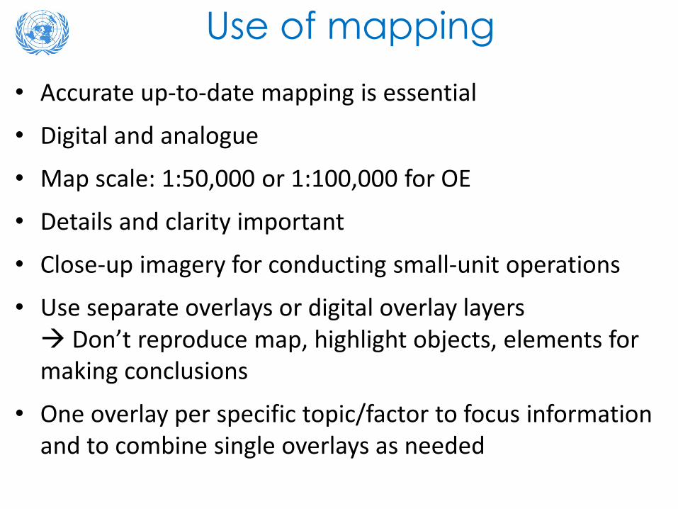
Use of mapping• Accurate up-to-date mapping is essential
• Digital and analogue
• Map scale: 1:50,000 or 1:100,000 for OE
• Details and clarity important
• Close-up imagery for conducting small-unit operations
• Use separate overlays or digital overlay layers Don’t reproduce map, highlight objects, elements for making conclusions
• One overlay per specific topic/factor to focus information and to combine single overlays as needed

Overlay Symbols

Terrain OverlaysThe different Terrain Overlays that allow us to conduct the analysis of military aspects of the terrain are:
- Land Lines of Communication (LLOC)
- Water Lines of Communication (WLOC)
- Relief
- Vegetation

Land Lines of Communication (LLOCs)
SSR JAGUAR
SSR ELEPHANT
SSR GIRAFFE
MSR ANTELOPE
MSRs and SSRs designated and named after routes have been evaluated

Water Lines of Communications(WLOCs)
SIRLOIN
RUG
RUG

Relief
Up to 3750 meter
Up to 1000 meter
Up to 3200 meter
Up to 1750 meter
Up to 750 meter

Vegetation
FOREST
FOREST
JUNGLE
JUNGLESAVANNAH GRASSLAND

Learning Activity
• Situation:• Use the scenario identify LLOCs, WLOCs, Relief, Vegetation in the AIR
• Task:• Study sector map; identify key LLOCs, WLOCs, Relief and Vegetation• Mark on Map with a clear legend• Insert factors into the 3-column format (3CF) and make deductions• Draw up a list of Information Requirements
• Time: 30 minutes (group and discussion)
FACTOR DEDUCTION OUTPUT
MSR from Town A to B
Threat Actor A needs to control for supplies. May challenge UN FOMUN need to control MSR.Local population requires security in this area.
RFI. Where are vulnerable areasfor UN convoys

Take Away• Understand Area of Peacekeeping Intelligence
Responsibility (APIR) and term Area of Peacekeeping Intelligence Interest (APII)
• Be able to conduct a simple analysis of the PT of an area of operations
• Identify terrain features and key facilities • Identify key LLOCs, WLOCs, relief and vegetation• Integrate your analysis into the broader AOE/
MPKI products

Questions