
LATIN AMERICAN STUDIES
43
CUBA
-
Upload
poala-canaya -
Category
Documents
-
view
227 -
download
0
description
An overview about some of the countries in Latin America (Cuba, El Salvador and Belize)
Transcript of LATIN AMERICAN STUDIES
CUBA
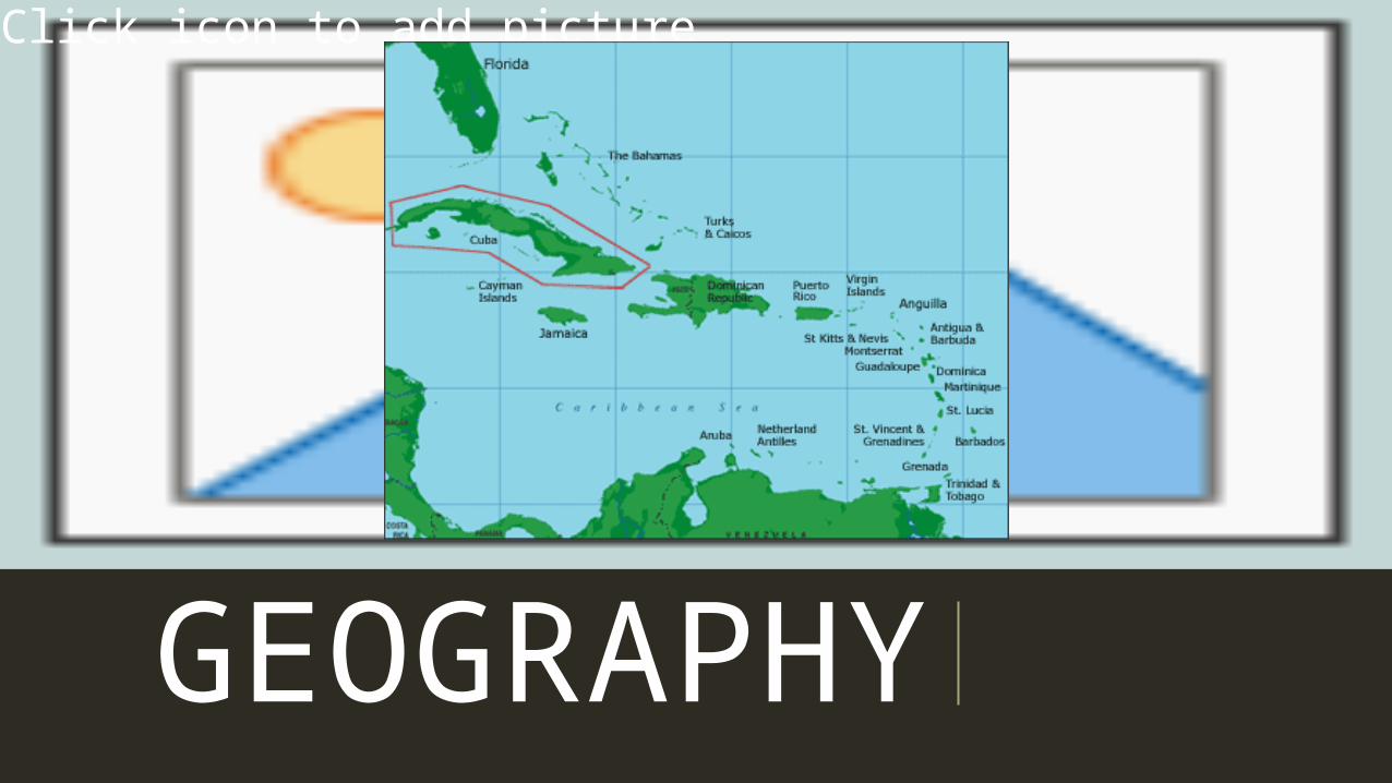
GEOGRAPHY
Click icon to add picture
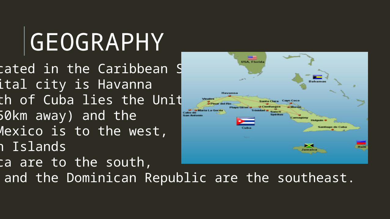
GEOGRAPHY•Cuba is located in the Caribbean Sea.•Cuba’s capital city is Havanna•To the north of Cuba lies the United States (150km away) and the Bahamas, Mexico is to the west, the Cayman Islands and Jamaica are to the south, and Haiti and the Dominican Republic are the southeast.
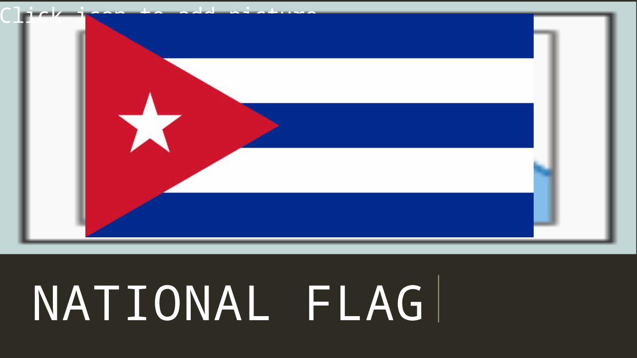
NATIONAL FLAG
Click icon to add picture
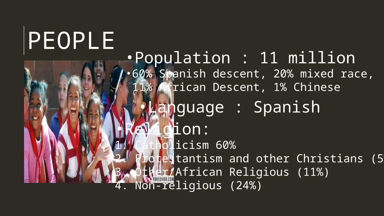
PEOPLE•Population : 11 million
•60% Spanish descent, 20% mixed race, 11% African Descent, 1% Chinese •Language : Spanish •Religion: 1. Catholicism 60%2. Protestantism and other Christians (5%)3. Other/African Religious (11%)4. Non-religious (24%)
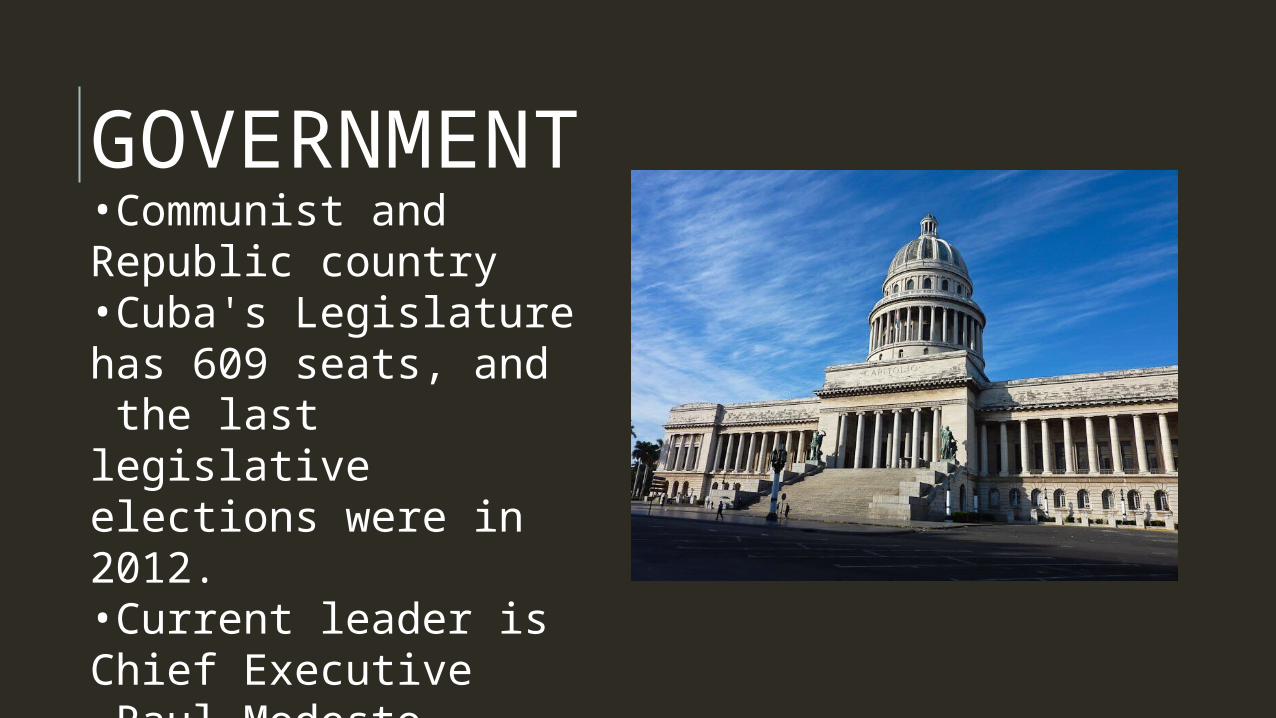
GOVERNMENT•Communist and Repub-lic country•Cuba's Legislature has 609 seats, and the last legislative elections were in 2012.•Current leader is Chief Executive Raul Modesto Castro. •The chief executive in Cuba typically has a term length of 5 years.
•
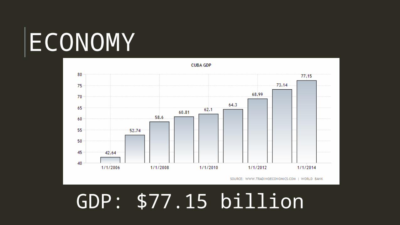
ECONOMY
GDP: $77.15 billion
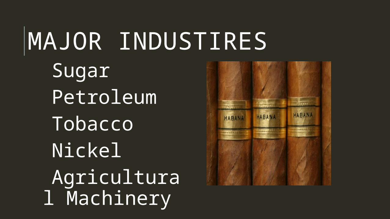
MAJOR INDUSTIRES Sugar Petroleum Tobacco Nickel Agricultural Machinery
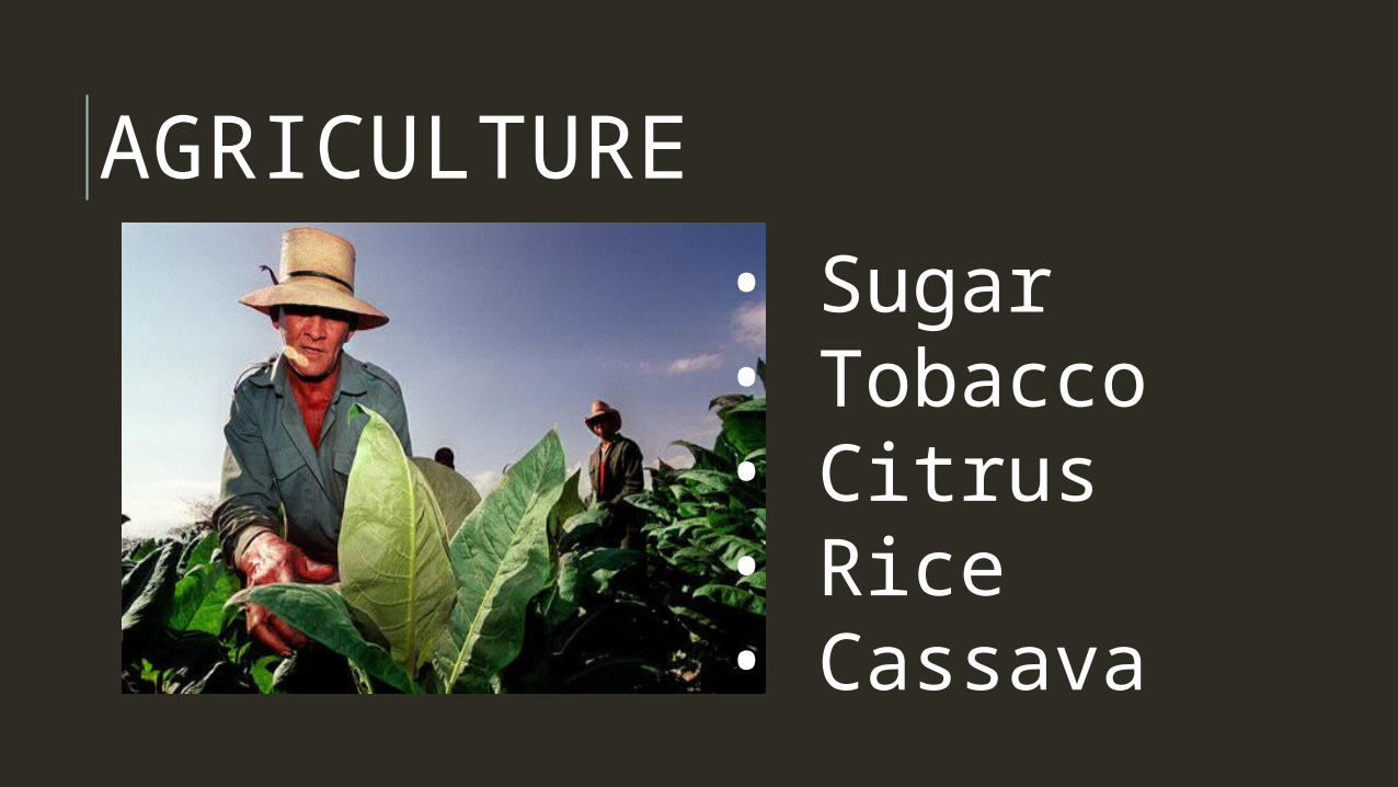
AGRICULTURE
• Sugar• Tobacco• Citrus• Rice• Cassava
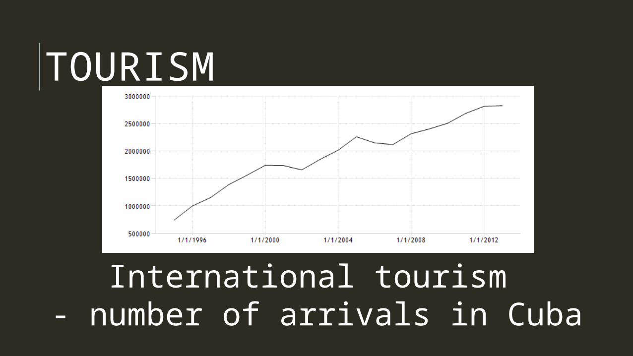
TOURISM
International tourism - number of arrivals in Cuba
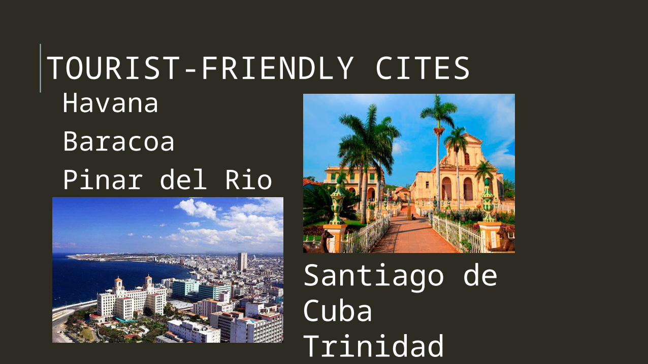
TOURIST-FRIENDLY CITES Havana Baracoa Pinar del Rio Province
Santiago de CubaTrinidad
HISTORY 3500 BC, first inhabitants land on Cuba
1492 AD, Columbus sights Cuba
1514, Spain conquers Cuba
1868, First war of independence launched
1878, rebels granted amnesty
1898, Spanish-American war, Cuba loses, governed by US
1933, President Gerado Machado y Morales overthrown my Fulgencio Batista
HISTORY1959, Batista Overthrown by guerilla movement led by Fidel Castro and Che Guevara
Castro becomes Prime Minister of Cuba
Castro turns to Soviet Union, Cuba becomes Communist state
1961, Batista Supporters invade Bay of Pigs
1962, Cuban Missile Crisis
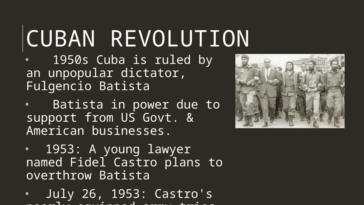
CUBAN REVOLUTION• 1950s Cuba is ruled by an unpopular dictator, Fulgencio Batista
• Batista in power due to support from US Govt. & American businesses.
• 1953: A young lawyer named Fidel Castro plans to overthrow Batista
• July 26, 1953: Castro's poorly equipped army tries to storm Moncada army barracks but fails. Castro is sent to prison.
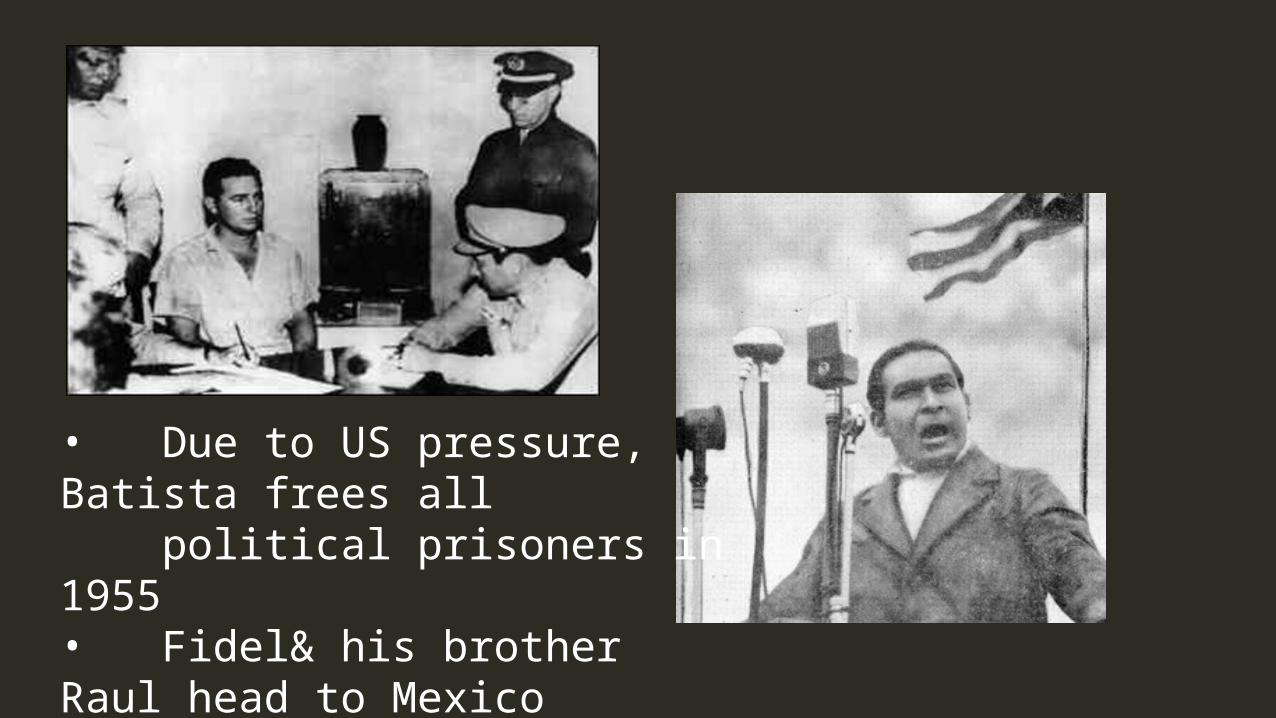
• Due to US pressure, Batista frees all political prisoners in 1955• Fidel& his brother Raul head to Mexico to recruit an army
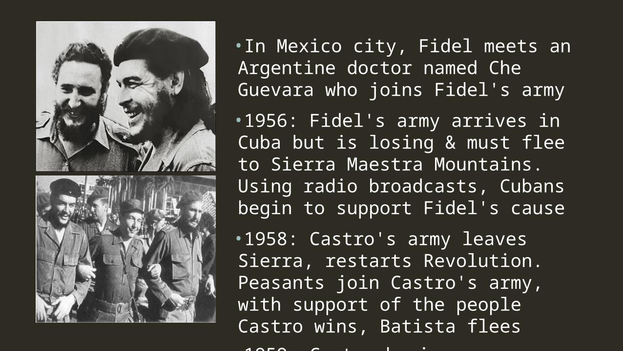
•In Mexico city, Fidel meets an Argentine doctor named Che Guevara who joins Fidel's army
•1956: Fidel's army arrives in Cuba but is losing & must flee to Sierra Maestra Mountains. Using radio broadcasts, Cubans begin to support Fidel's cause
•1958: Castro's army leaves Sierra, restarts Revolution. Peasants join Castro's army, with support of the people Castro wins, Batista flees
•1959: Castro begins programs like universal education & health care.Castro begins seizing foreign owned land & nationalizing businesses. Elections put on hold, supporters of Batista are jailed, exiled or executed.
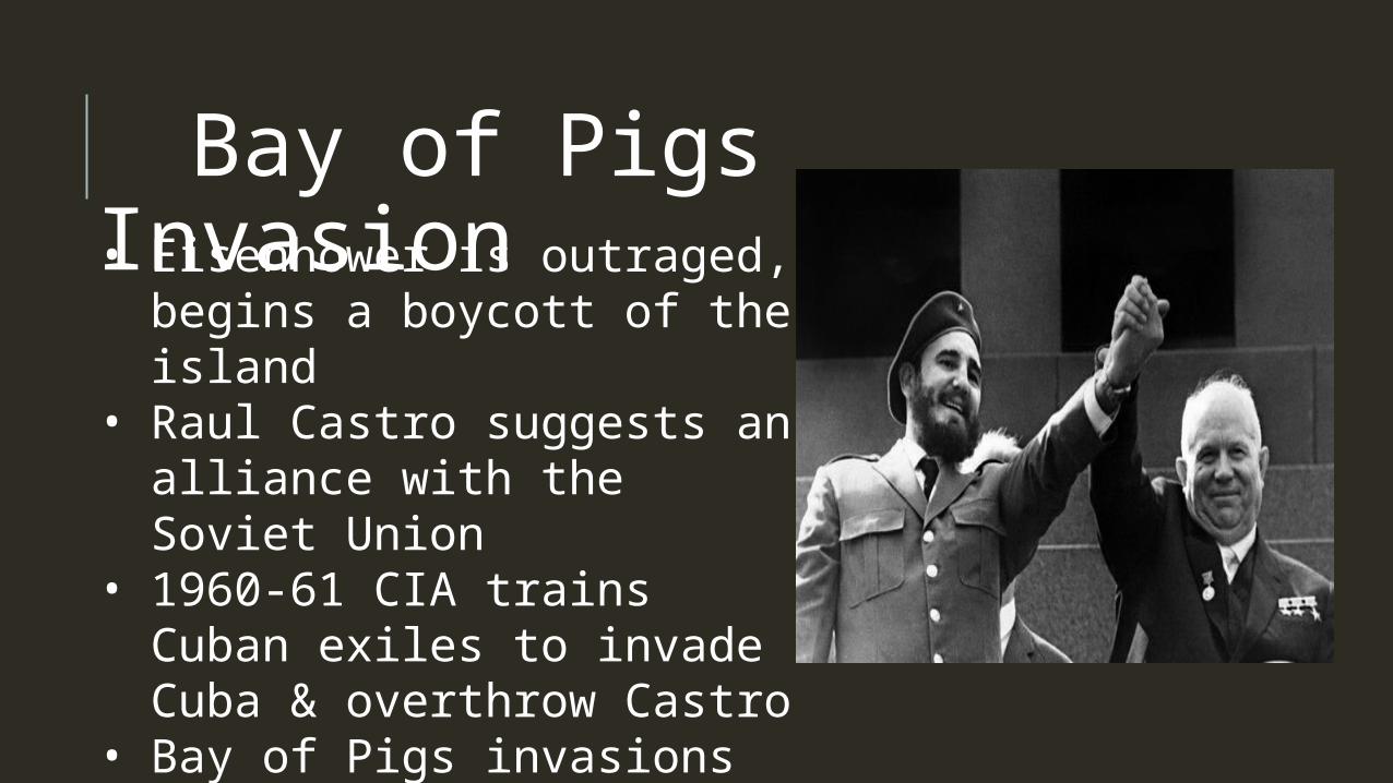
Bay of Pigs Invasion• Eisenhower is outraged,
begins a boycott of the is-land
• Raul Castro suggests an al-liance with the Soviet Union
• 1960-61 CIA trains Cuban exiles to invade Cuba & overthrow Castro
• Bay of Pigs invasions fails, President Kennedy won't use US military to help.
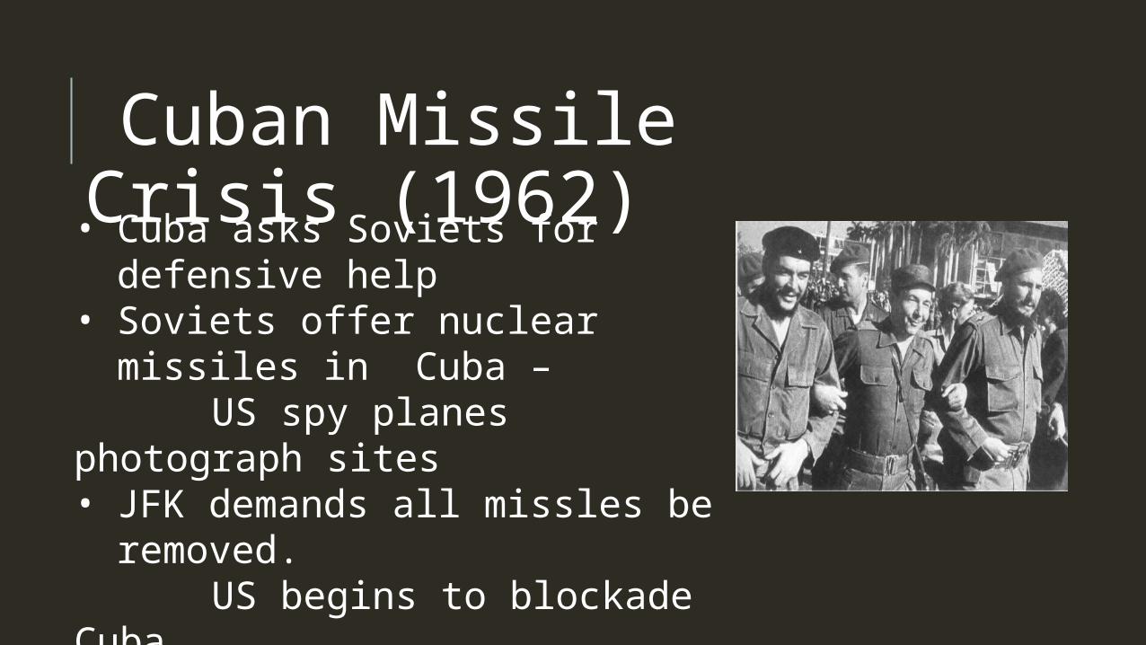
Cuban Missile Crisis (1962)• Cuba asks Soviets for defensive
help• Soviets offer nuclear missiles in
Cuba – US spy planes photograph sites• JFK demands all missles be re-
moved. US begins to blockade Cuba• However, JFK and Khrushchev
cut a deal to avoid a nuclear war.
El sal-vador
Republica de El Salvador
NATIONAL FLAG
Click icon to add picture

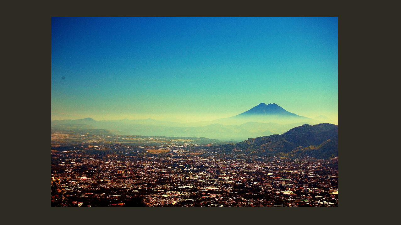
LOCATION21,041 sq km on the Pacific Coast of Central America.
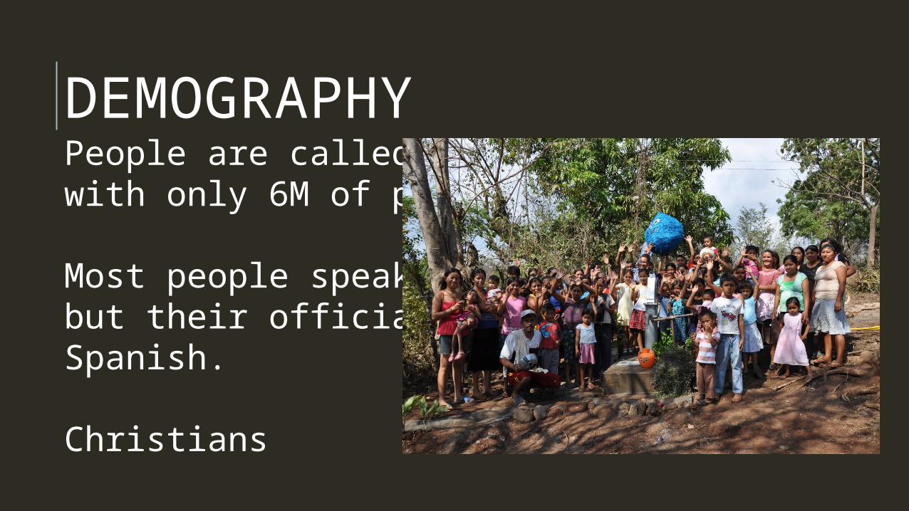
DEMOGRAPHYPeople are called SALVADORANS with only 6M of population
Most people speaks Turkish but their official language is Spanish.
Christians
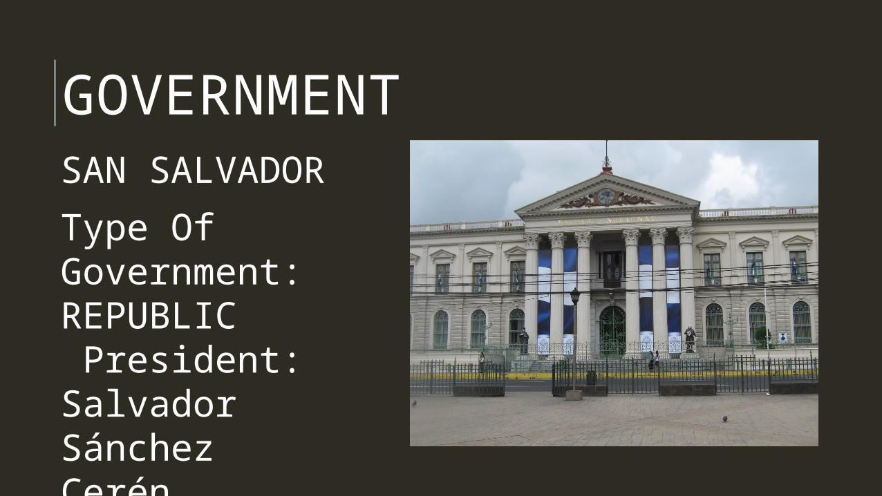
GOVERNMENTSAN SAL-VADOR
Type Of Gov-ernment: REPUBLIC President: Salvador Sánchez Cerén (2014)
ECONOMY• Their economy has been traditionally Agriculture• El Salvador’s economy was affected by the 12 year civil war• They recovered their economic life by the beginning of 2001 Based on AgricultureCORN, COFFEE AND SUGARBased on IndustriesFood and Beverage processing, chemicals, petroleum
BACKGROUND HISTORY• Pipil Indians migrated to this region in the
11th century.• Pedro de Alvarado, a lieutenant of Cortés's,
conquered El Salvador (1525)• Sept. 15, 1821 • federation of Central American states until
that union dissolved in 1838. • From 1931 to 1979 El Salvador was ruled by
a series of military dictatorships.
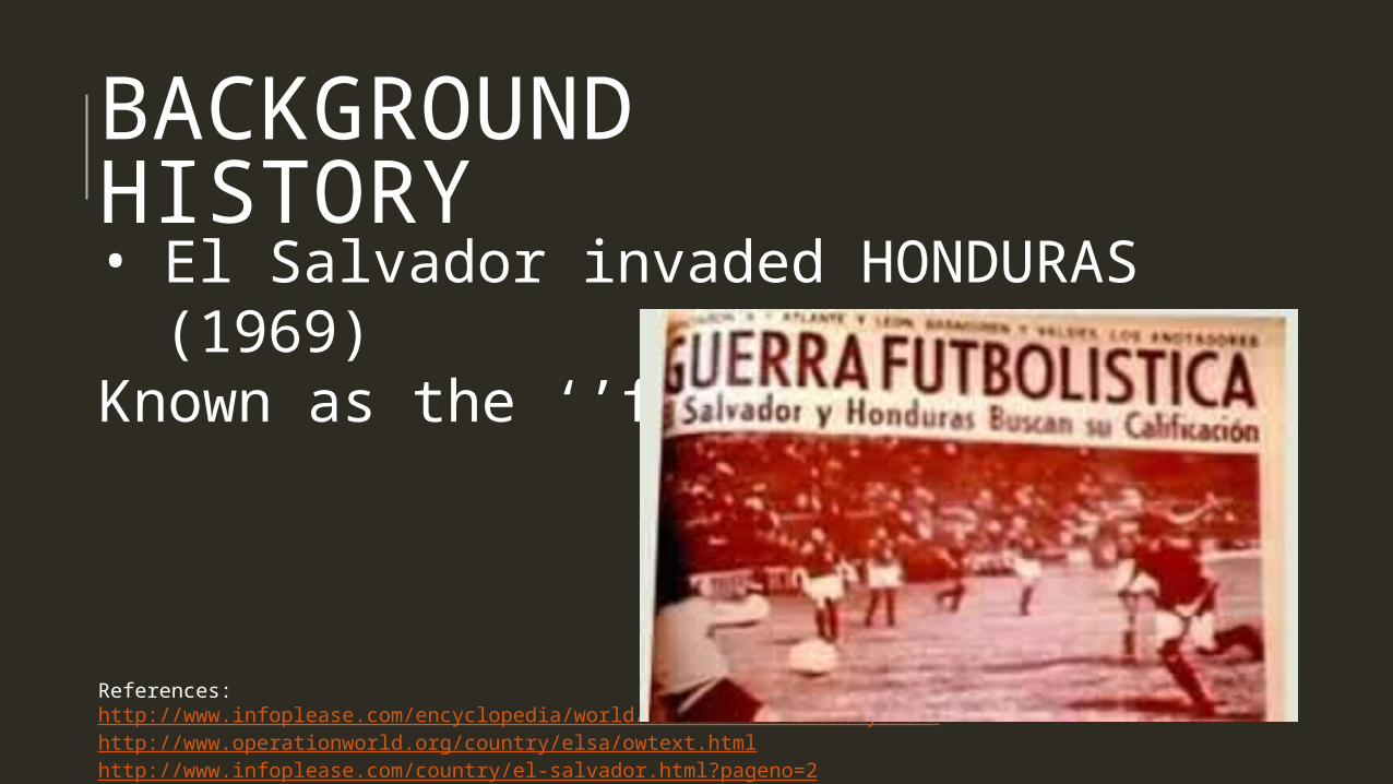
BACKGROUND HISTORY• El Salvador invaded HONDURAS (1969)Known as the ‘’football war’’
References:http://www.infoplease.com/encyclopedia/world/el-salvador-economy.htmlhttp://www.operationworld.org/country/elsa/owtext.htmlhttp://www.infoplease.com/country/el-salvador.html?pageno=2
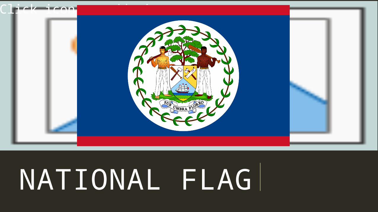
NATIONAL FLAG
Click icon to add picture
NATIONAL FLAGBLUE AND WHITE – represents the People’s Union PartyRED – represents the United Demo-cratic Party TWO GUYS – represents the major demographical ethnicity of Belize50 LEAVES – symbolizes year 1950 which PUP was establishedSUB UMBRA FLORE – under the shade I flourish
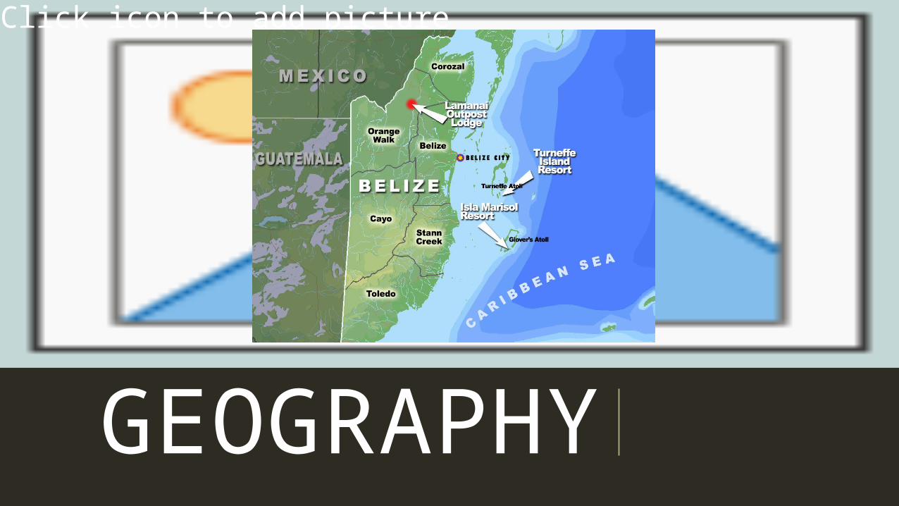
LOCATION• Belize is a nation on the eastern
coast of Central America, with Car-ibbean Sea shorelines to the east and dense jungle to the west
• The gateway between The Car-ribean and the Central American Region
• It’s west border not straight
GEOGRAPHY
Click icon to add picture
LOCATION• Home to over 900 Mayan sites• Tallest Building: Caracole Mayan
Ruins• Capital City: Belmopan• It is also one of the only three
non-island nation to be part of CARICOM
PHYSICAL GEOGRAPHY• 60% of its lands are undisturbed
due to low population• 20% of land is covered in culti-
vated land• It has the second largest barrier
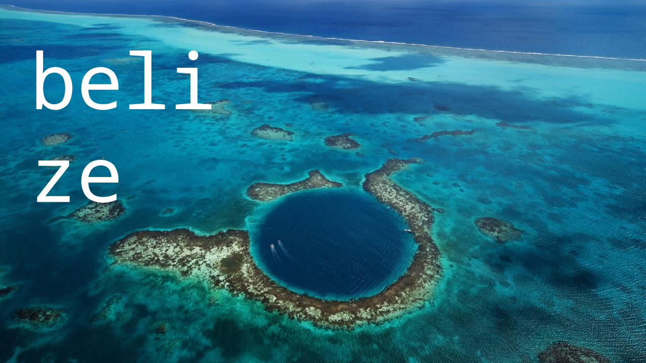
reef• Famous for the Big Blue Hole• Maya Mountains is home for sev-
eral mayan ruins• It was also a very famous spot for
many archeologists
DEMOGRAPHY• Belize is small but incredibly
mixedPOPULATION: 340,000 50% Mestizo
25% Creole/Afro Belizean12% Mayan6% Garinagu
4% Indian4% Caucasian (Russian Men-nonites)
DEMOGRAPHY
South – GarifunasNear the Coast – Creoles North – MayanInland - Mennonites
DEMOGRAPHYOFFICIAL LANGUAGE: ENGLISHSECONDARY LANGUAGE: SPANISH
BELIZIAN CREOLE – is a heavily car-ribean influenced accent of the English language
GOVERNMENT20th CENTURY – Belize gained its self governing autonomous status1981 – Belize gained its full inde-pendence but remained as a com-monwealth country of the UKTYPE OF GOVERNMENT: PARLIA-MENTARY CONSTITUTIONAL
MONARCHY
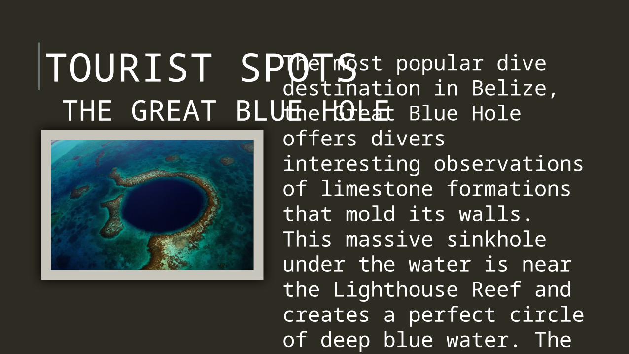
TOURIST SPOTSTHE GREAT BLUE HOLE
The most popular dive des-tination in Belize, the Great Blue Hole offers divers in-teresting observations of limestone formations that mold its walls. This massive sinkhole under the water is near the Lighthouse Reef and creates a perfect circle of deep blue water. The deeper one dives into the Great Blue Hole, the clearer the water and the more breathtaking the scenery, as the array of bizarre stalac-tites and limestone forma-tions become more complex and intense.
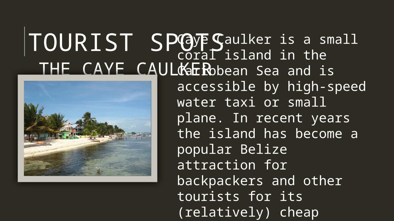
TOURIST SPOTSTHE CAYE CAULKER
Caye Caulker is a small coral island in the Caribbean Sea and is accessible by high-speed water taxi or small plane. In recent years the is-land has become a popular Belize attraction for back-packers and other tourists for its (relatively) cheap prices, laid-back vibe, and abundance of restaurants and bars. The main mode of transport on Caye Caulker is simply walking. The paths are well defined, and cross-ing the island takes about 20 minutes. Bicycles and golf carts can also be rented.
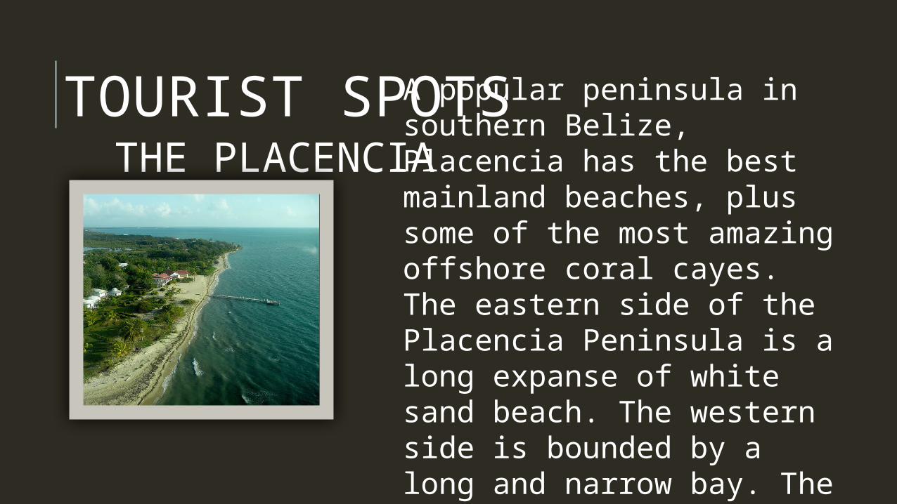
TOURIST SPOTSTHE PLACENCIA
A popular peninsula in southern Belize, Placencia has the best mainland beaches, plus some of the most amazing offshore coral cayes. The eastern side of the Placencia Peninsula is a long expanse of white sand beach. The western side is bounded by a long and nar-row bay. The beautiful beaches together with the abundant, inexpensive ac-commodation, make it a great place to relax and one of the attractions in Belize.
HISTORY-Belize was originally settled by the Mayan civi-lization. They began moving into Belize in 1500 BC. There are several Mayan sites in Belize including Altun Ha, Xunantunich, and Caracol. Quite a few people lived in Belize at the time.-Christopher Columbus was the first European to visit Belize in 1502. Later shipwrecked sailors started the first settlement in Belize. It was many years laterin 1840 that Belize became a British Colony. It was called the Colony of British Honduras.-In 1973, the territory was renamed to Belize. On September 21, 1981 it gained independence.