Introduction to the Open Source Geospatial Stack · Introduction to the Open Source Geospatial...
23
Introduction to the Open Source Geospatial Stack Jo Cook: OSGeo Director
Transcript of Introduction to the Open Source Geospatial Stack · Introduction to the Open Source Geospatial...
Introduction to the Open Source Geospatial Stack
Jo Cook: OSGeo Director
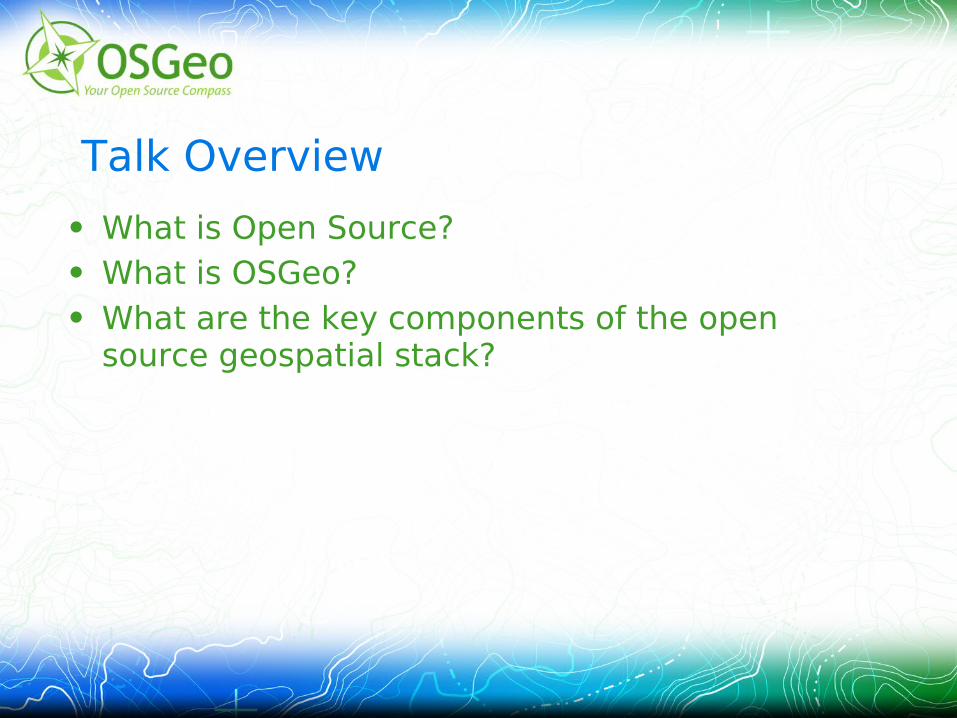
Talk Overview
• What is Open Source?• What is OSGeo?• What are the key components of the open
source geospatial stack?
10 things you should know about open source software...
Paraphrased and reorganised from Directions Magazine (http://www.directionsmag.com/articles/ten-things-you-need-to-know-about-open-source-geospatial-software/233177
“Open source software” refers to any application delivered with an open source license.
An open source license must meet the definition developed by the Open Source Initiative.
Open source software is usually written by a community rather than a development team associated with a single software company.
Software developers and software users mix and match open source and proprietary software all the time.
Open source and open standards are not the same thing
Open source and open data are not the same thing
Implementing open source software may cost money
The opposite of open source is closed source or proprietary software, not commercial software
OSGeo is the body for open source geospatial software
Open source software is “just” software.
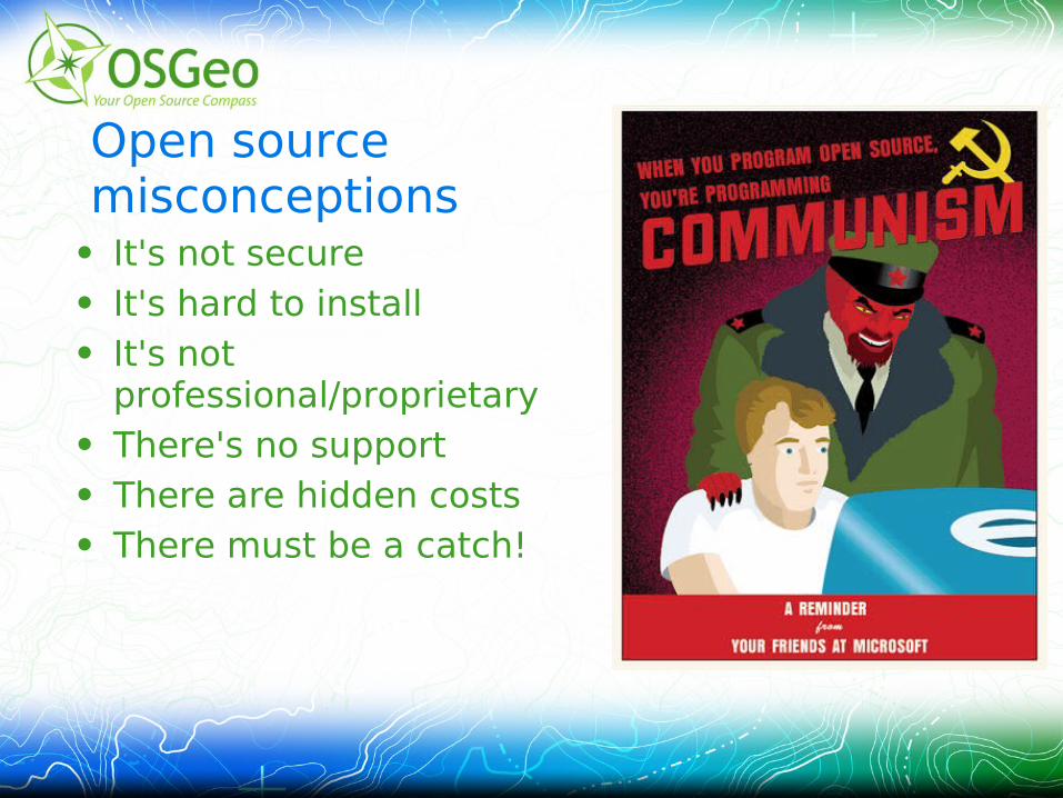
Open source misconceptions
• It's not secure• It's hard to install• It's not
professional/proprietary• There's no support• There are hidden costs• There must be a catch!
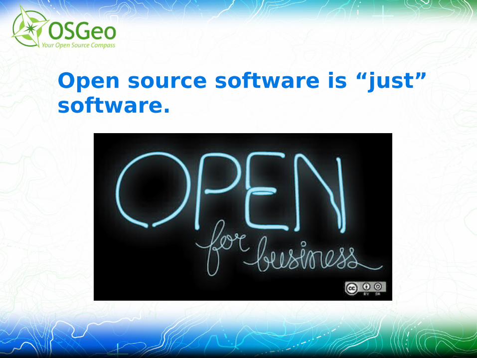
Open source software is “just” software.
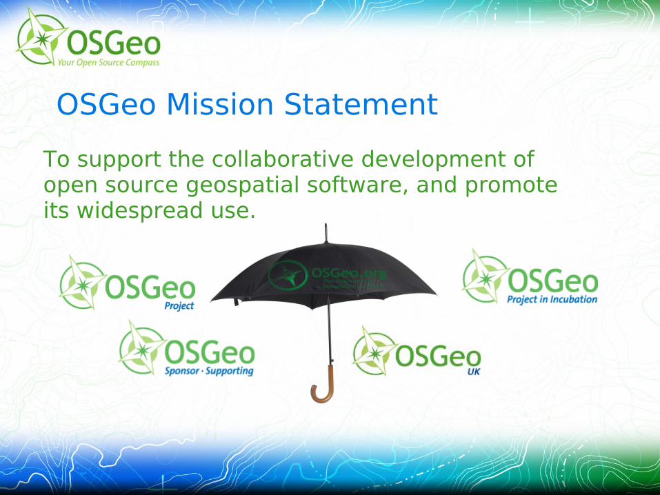
OSGeo Mission Statement
To support the collaborative development of open source geospatial software, and promote its widespread use.
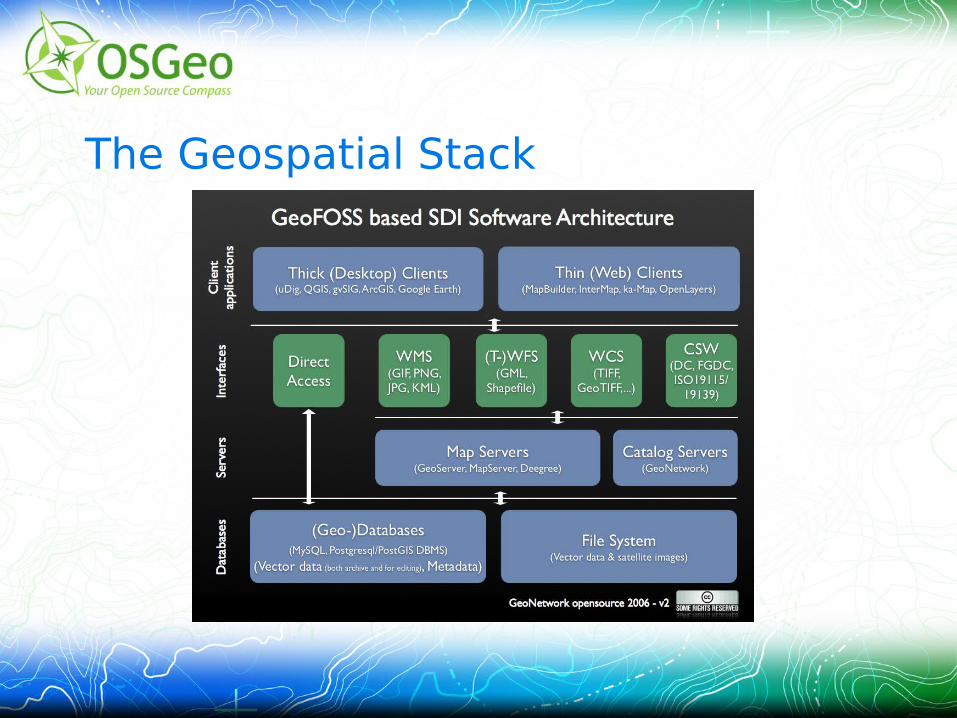
The Geospatial Stack
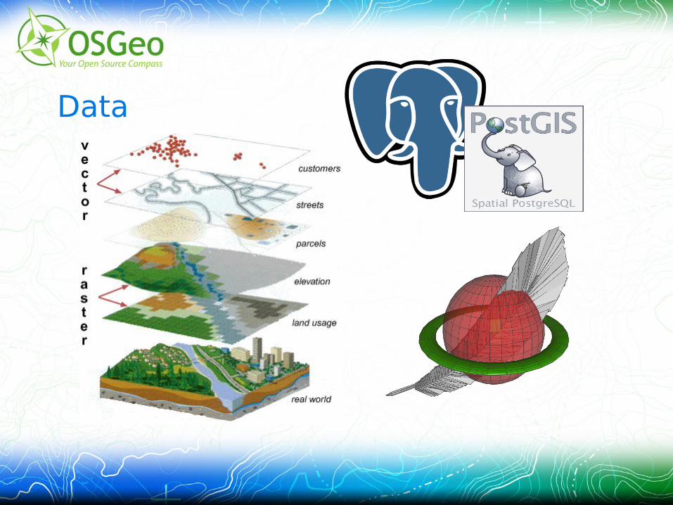
Data
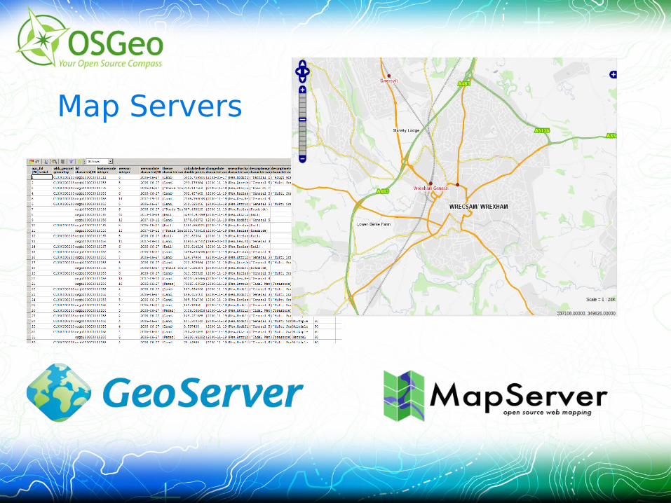
Map Servers
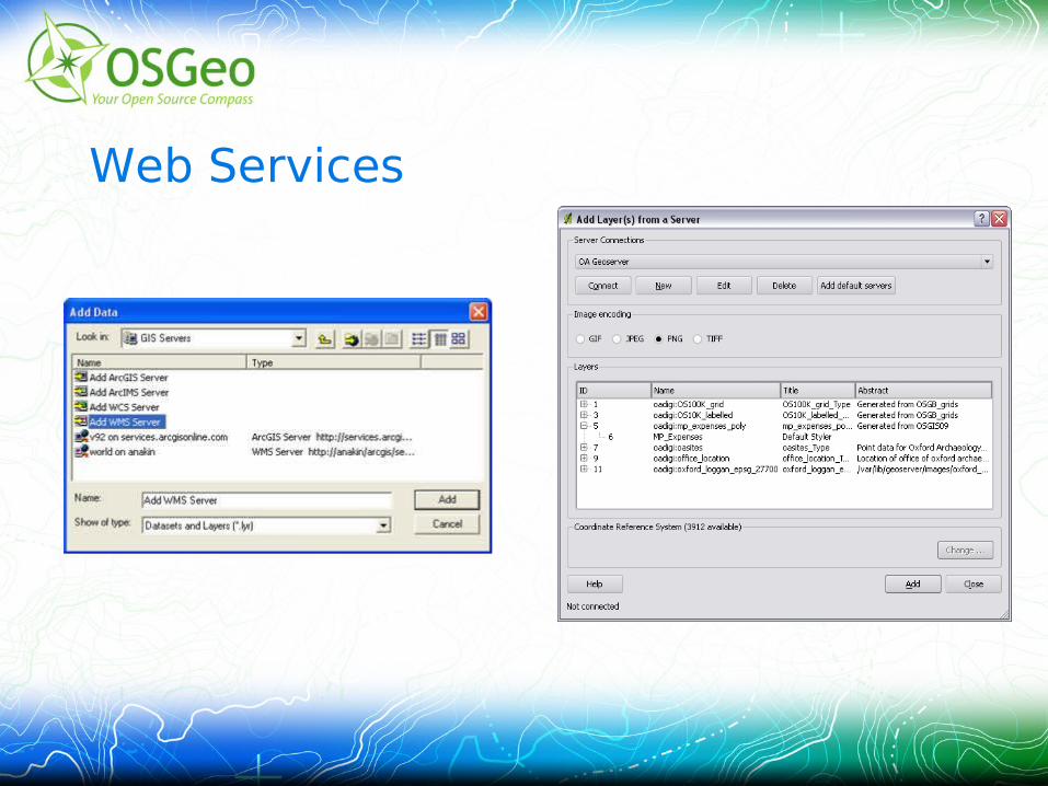
Web Services
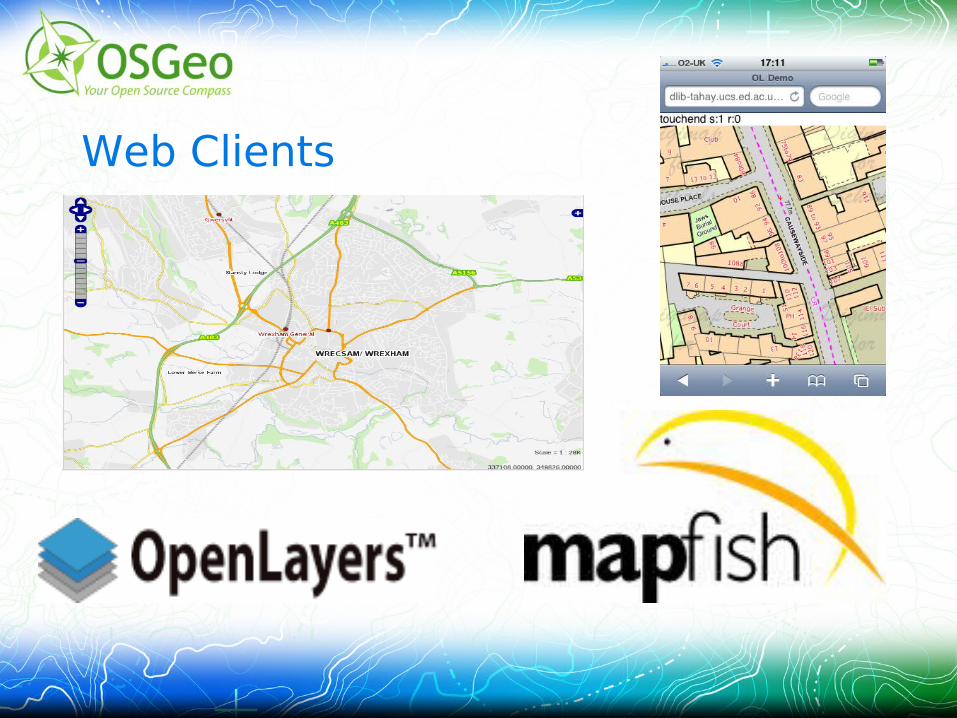
Web Clients
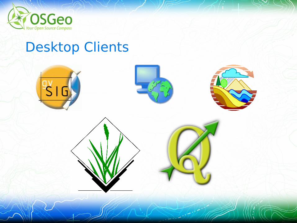
Desktop Clients

Thank You!
www.osgeo.org