
Introduction - ACGOV.org
8
1-1 1 Introduction Castro Valley is an unincorporated area of Alameda County that has developed a strong community identity over its 150 year history. Castro Valley’s name suggests its character – a populated valley surrounded by picturesque hills. It began as an area of cattle and poultry ranches and has evolved into a residential community of more than 60,000 people. Its main thoroughfare, Castro Valley Boulevard, began as a small road connecting eastern and western Alameda County, which later became a state highway lined with auto-oriented uses, and is now the commercial center of the community. This Castro Valley General Plan sets forth the vision for the next 20 years of Castro Valley’s evolution. While the community appears to be fully developed, or “built out,” an analysis of existing zoning shows that there are many sites available for residential and commercial development. Given Castro Valley’s central location and transportation access, the area will experience additional growth, especially given the great housing demand in the region combined with voter-approved preservation of surrounding open space. This plan is intended to guide that development, so that it contributes to the quality of the community, allowing Castro Valley to retain its
Transcript of Introduction - ACGOV.org
1-1
1 Introduction
Castro Valley is an unincorporated area of Alameda County that has developed a strong community identity over its 150 year history. Castro Valley’s name suggests its character – a populated valley surrounded by picturesque hills. It began as an area of cattle and poultry ranches and has evolved into a residential community of more than 60,000 people. Its main thoroughfare, Castro Valley Boulevard, began as a small road connecting eastern and western Alameda County, which later became a state highway lined with auto-oriented uses, and is now the commercial center of the community.
This Castro Valley General Plan sets forth the vision for the next 20 years of Castro Valley’s evolution. While the community appears to be fully developed, or “built out,” an analysis of existing zoning shows that there are many sites available for residential and commercial development. Given Castro Valley’s central location and transportation access, the area will experience additional growth, especially given the great housing demand in the region combined with voter-approved preservation of surrounding open space. This plan is intended to guide that development, so that it contributes to the quality of the community, allowing Castro Valley to retain its

1-2
Castro Valley General Plan
picturesque natural setting and small town character as it continues to grow and evolve.
Alameda County does not have a countywide Land Use or Circulation Element but has adopted area plans that meet the Government Code’s requirements for these elements for Castro Valley and other unincorporated areas. As such, the General Plan for Castro Valley is part of the Alameda County General Plan serving as the Land Use and Circulation elements for the urbanized area of Castro Valley, and establishing policies for other topics specific to Castro Valley. The Alameda County General Plan’s countywide Housing, Resource Conservation, Open Space, Noise, Seismic Safety, and Safety Elements are also applicable to Castro Valley. This plan has been written to be consistent with all of their policies and provisions.
1.1 PURPOSE OF THE PLAN
The Castro Valley General Plan establishes a new vision and comprehensive plan for the next 20 years of the community. It has two primary purposes:
• update the General Plan to take changing conditions into account, and
• guide the future development of Castro Valley.
The previous General Plan for Castro Valley was adopted in 1985 and, while many General Plan policies are still relevant, the planning context and setting have changed. The new General Plan reflects the passage of Measure D, the initiative approved by County voters in 2000 that amended the County’s General Plan to establish an Urban Growth Boundary (UGB). That measure limits urban development in most of the rural areas of the county, including the canyonlands surrounding Castro Valley. The new Plan also implements amendments to the County’s Housing Element that the Board of Supervisors adopted in 2003 and updated in 2010.
Together with these adopted policies, the new General Plan is intended to serve as the basis for regulating land use and development until the year 2025, which is the horizon year of the plan. The key objectives of the General Plan regarding future development are discussed in Chapter 2 and include:
Greenridge Park offers panoramic views of Castro Valley and areas beyond.
Castro Valley will continue to grow with infill residential development.
1-3
Chapter 1 | Introduction
• Revitalize the Central Business District;
• Preserve the area’s defining natural characteristics;
• Improve access for children to schools, parks and recreation fa-cilities;
• Provide facilities for activities and entertainment venues for all age groups;
• Ensure safe streets;
• Preserve the small town “rural” character of Castro Valley;
• Reduce impacts of regional traffic and freeway traffic;
• Continue to allow new infill housing on sites that have capacity, in a way that fits in with the existing scale and character of the community;
• Identify regulatory changes that need to be made to implement the plan; and
• Establish priorities for the capital improvement projects.
1.2 PLANNING PROCESS
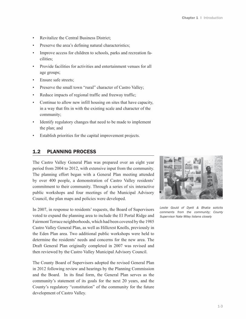
The Castro Valley General Plan was prepared over an eight year period from 2004 to 2012, with extensive input from the community. The planning effort began with a General Plan meeting attended by over 400 people, a demonstration of Castro Valley residents’ commitment to their community. Through a series of six interactive public workshops and four meetings of the Municipal Advisory Council, the plan maps and policies were developed.
In 2007, in response to residents’ requests, the Board of Supervisors voted to expand the planning area to include the El Portal Ridge and Fairmont Terrace neighborhoods, which had been covered by the 1985 Castro Valley General Plan, as well as Hillcrest Knolls, previously in the Eden Plan area. Two additional public workshops were held to determine the residents’ needs and concerns for the new area. The Draft General Plan originally completed in 2007 was revised and then reviewed by the Castro Valley Municipal Advisory Council.
The County Board of Supervisors adopted the revised General Plan in 2012 following review and hearings by the Planning Commission and the Board. In its final form, the General Plan serves as the community’s statement of its goals for the next 20 years, and the County’s regulatory “constitution” of the community for the future development of Castro Valley.
Leslie Gould of Dyett & Bhatia solicits comments from the community; County Supervisor Nate Miley listens closely

1-4
Castro Valley General Plan
1.3 PLAN STRUCTURE AND CONTENTS
The General Plan addresses nine major topic areas that are related to the physical environment of Castro Valley but are intended to achieve a broad range of economic, environmental, and social objectives: Land Use and Development; Community Character and Design; Circulation; Biological Resources; Community Facilities, Parks and Schools; Public Services and Utilities; Natural Hazards and Public Safety; Noise, and Air Quality and Climate Change. Each of the nine topics has four components: a background section describing existing conditions and analysis; an overarching goal; a series of guiding policies; and action steps to implement those policies. Maps are used extensively to illustrate information and policy direction.
The plan is designed to be a strategic plan, focused on the primary goals that Castro Valley wants to achieve in the next 20 years, and on the specific actions that will be taken to achieve those goals. The types of actions the Plan recommends are within the County and community’s control or influence, including:
• Regulations – Zoning, Subdivision, Biological Resources and Creek Protection
• Guidelines – Residential Design, Historic Preservation, Biological Resources, Creekside Development
• Programs – Economic Development, Traffic Calming, Pedestrian Safety
• Capital Improvement Projects – Streets, Parks, Community Buildings
• Funding for Capital Improvements
1.4 REGIONAL LOCATION AND PLANNING BOUNDARIES
Castro Valley, an unincorporated sub-area of Alameda County, is centrally located in the western part of the County. Castro Valley is bounded by the City of San Leandro and the unincorporated communities of Ashland and Cherryland to the west, the City of Hayward and unincorporated Fairview to the south, the East Bay Regional Park District to the north, and Contra Costa County and the City of Dublin to the east. See Figure 1-1: Castro Valley Regional Context Map.
Work with HARD, the school districts, Alameda County Library, and the Medical
Center to add at least one new community center building in Castro Valley, like t he one
in Castro Valley Community Park shown here.

1-5
Chapter 1 | Introduction
Castro Valley is divided by Interstate 580 and the Dublin-Pleasanton BART line, the principal means of access between San Francisco and Oakland, to the west and Dublin, Pleasanton, and Livermore to the east. Castro Valley Boulevard is the major commercial thoroughfare and one of the area’s few east-west connectors, running generally parallel to I-580. Radiating from the Central Business District (CBD) north and south of Castro Valley Boulevard are a series of primarily single-family residential neighborhoods, most of which were developed from the early 1950s to the late 1990s.
The new Castro Valley General Plan area includes approximately 11 square miles of urbanized land within the boundaries described above. Alameda County defines Castro Valley as the urbanized area as well as the Canyonlands outside the Urban Growth Boundary that voters established in 2000 with the passage of Measure D. (See Appendix A.) This Plan uses the term “planning area” to refer to the urbanized area within the County’s Urban Growth Boundary, including the Castro Valley Census Designated Place (CDP) as well as the Five Canyons neighborhood, as shown in Figure 1-2. These boundaries largely follow the area that was proposed for incorporation in 2002, plus the Five Canyons neighborhood, which was previously included in the County’s Cherryland-Fairview sub-regional area.
1.5 RELATIONSHIP TO OTHER PLANS
State law requires that all municipalities have a General Plan that includes seven elements: Circulation, Conservation, Housing, Land Use, Noise, Open Space, and Safety. Other optional elements can also be included in the General Plan. None of these elements take precedence over the other ones; they must be consistent with one another.
As an unincorporated area, Castro Valley is subject to the County’s General Plan. State law allows a county General Plan to be adopted as a series of area plans, such as those Alameda County has produced for Castro Valley, the Eden area, and the East County. These plans must conform to all countywide general plan elements and be consistent with one another. Consequently, the Castro Valley General Plan must be consistent with the land use plans for adjacent unincorporated areas of Eden and the East County, as they are also components of the County’s Land Use Element, and must also be consistent with the other countywide General Plan elements.

1-6
Castro Valley General Plan
Table 1.5-1 indicates which elements of the proposed Castro Valley Plan and which countywide elements are applicable to Castro Valley.
Land use decisions within the Castro Valley planning area are also governed by a variety of area, sub-area, and countywide plans and regulations. All of these plans and regulations, including the County subdivision and zoning ordinances (General Ordinance Code Titles 16 and17), must be consistent with the Castro Valley General Plan. They may need to be amended after the new General Plan is adopted. Other plans that could be affected include the Central Business District Specific Plan, the Upper Madison Avenue/Common Road Area Specific Plan, and the Eden Redevelopment Plan.
Table 1.5-1: Castro Valley General Plan Correspondence Table
Required Element Castro Valley General Plan Chapter Countywide General Plan Element
Land Use Land Use and Development;
Community Character and Design
Alameda County Scenic Route Element
(1976)
Circulation Circulation
Open Space Land Use and Development; Community
Facilities, Parks and Schools
Alameda County Open Space Element
(1973, rev. 1989), Alameda County Park
and Open Space Element (1956 rev. 1966)
Conservation Biological Resources; Community Character
and Design; Natural Hazards and Public
Safety; Public Services and Utilities
Alameda County Conservation Element
(1976 rev. 1994)
Safety Natural Hazards and Public Safety; Public
Services and Utilities
Alameda County Seismic and Safety
Elements (1982)
Noise Noise Alameda County Noise Element (1976 rev.
1994)
Housing Land Use and Development Alameda County Housing Element (2001
rev. 2003, 2005, 2010)

1-7
Chapter 1 | Introduction
CONTRA COSTA COUNTY
SAN RAMON
DANVILLE
ALAMEDA COUNTY
SAN LEANDRO
DUBLIN
UNION CITY
SanFrancisco
Bay
Figure 1-1
Regional ContextCastro Valley Planning Area
Castro Valley Urbanized Area/General Plan Area
Castro Valley CBD Specific Plan Area
Measure D
Protected Open Space & Regional Parks
County Boundary
0 1 2 3 40.5Miles
Source: Measure D, Alameda County Community Development Agency,2004; Castro Valley CBD Specific Plan Area and Castro Valley UrbanizedArea/General Plan Area, Dyett and Bhatia, 2010;Protected Open Space and Regional Parks, Metropolitan TransportationCommission, 2008; Map base, Metropolitan Transportation Commissionand Tele Atlas North America, Inc., 2008; Dyett and Bhatia, 2010.

580
880
FAIRMONT DR
238580
580
185
MISSION BLVD
B ST
KELLY ST
Source: Alameda County Community DevelopmentAgency, 2004; USGS, 7.5 minute series Digital ElevationModels
LakeChabot
SEVEN HILLS RD
LAKE CHABOT RD
SOMERSET AVE
CASTRO VALLEY BLVD
REDW
OOD
RD
HEYER AVE MADI
SON A
VE
CENT
ER ST
GROVE WAY
CENT
ER ST
NORBRIDGE AVE
A ST
0 2,000 4,0001,000Feet
LAKE CHA
BOT RD
REDWOOD RD
PALOMARES RD
CROW
CANY
ON RD
CULL
CAN
YON
RD
E CASTRO VALLEY BLVD
FOOTHILL BLVD
CROW CANY
ON RD
FIVE CANYONS PKWY
STANTON AVE
167TH AVE
PROCTOR R D
MIRAMAR AVE
FOOTHILL BLVD
Figure 1-2Castro Valley Urban Area
Castro Valley Urban AreaCastro Valley CBD Specific Plan
BARTFreewayMajor Arterial StreetsArterial StreetsLocal Streets
Resource Management(Measure D Land)


