Intro to GIS | Summer 2011 Map Projections
36
Intro to GIS | Summer 2011 Map Projections
Transcript of Intro to GIS | Summer 2011 Map Projections
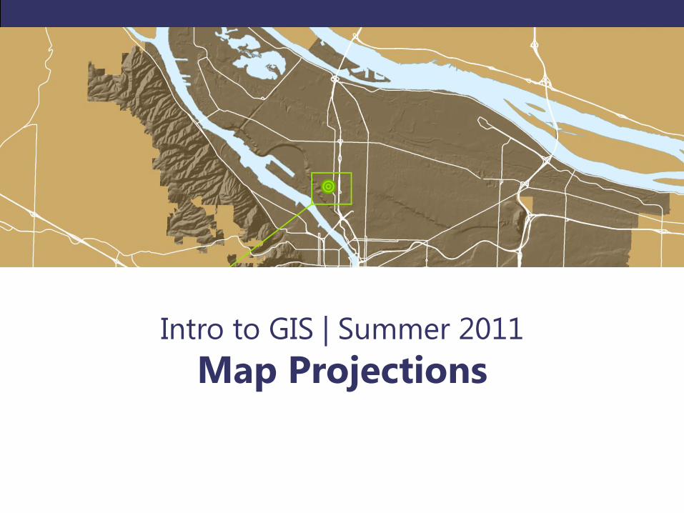
Intro to GIS | Summer 2011
Map Projections
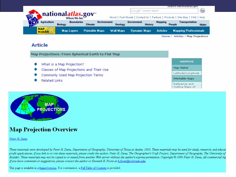
How do we represent the Earth's ellipsoid on a flat surface?
Projected Coordinate Systems
PROJECTED COORDINATE SYSTEMS (PCS)
PCS
• Translates geographic coordinate system to a flat plane
• Transforms lat/long geographic coordinates to x/y
(Cartesian) coordinates using mathematical formulas
• Varying distortions of shape, area, distance, and
direction always result from this process
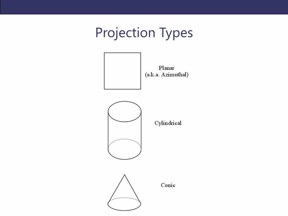
Projection Types
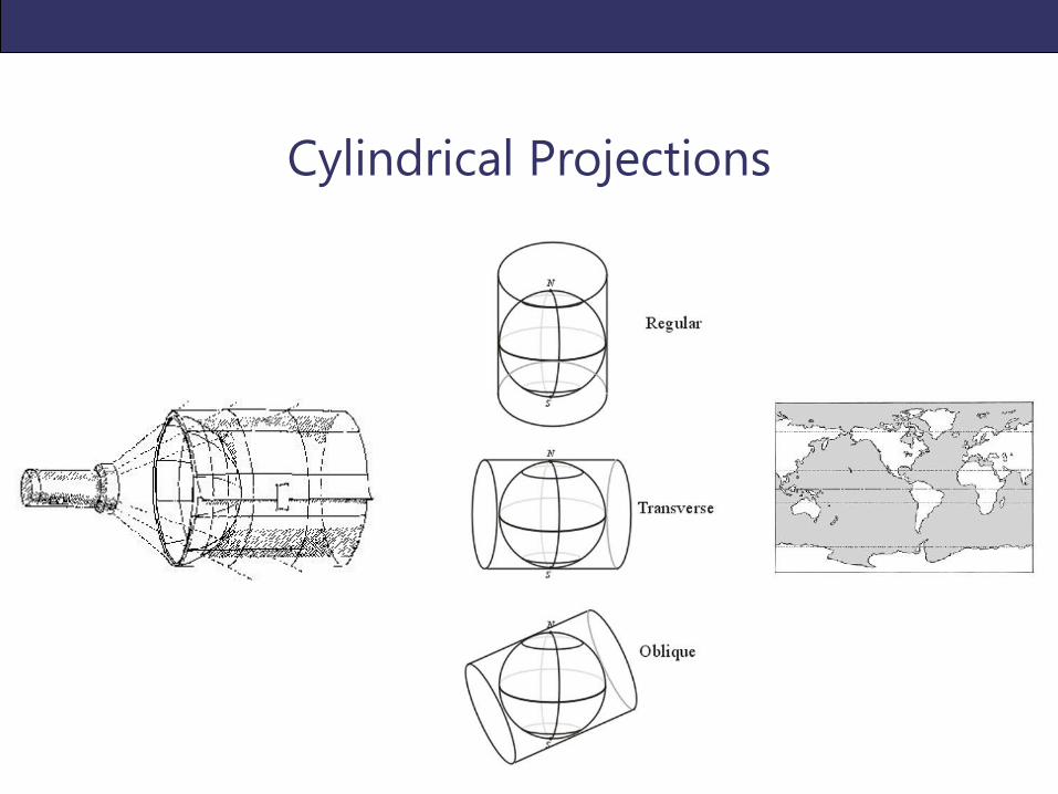
Cylindrical Projections
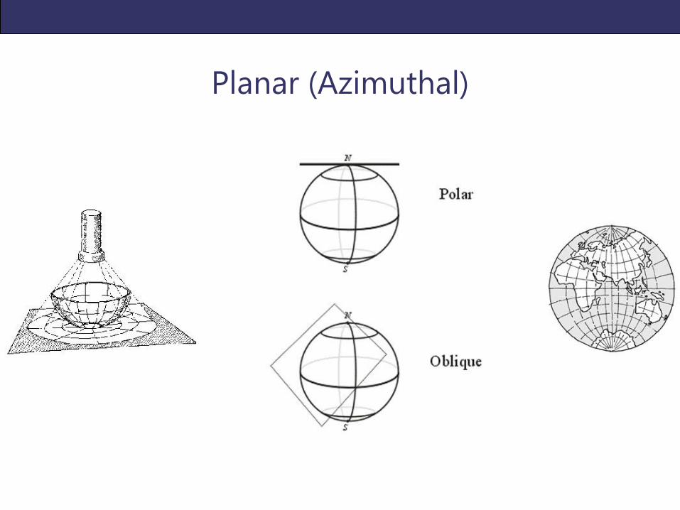
Planar (Azimuthal)
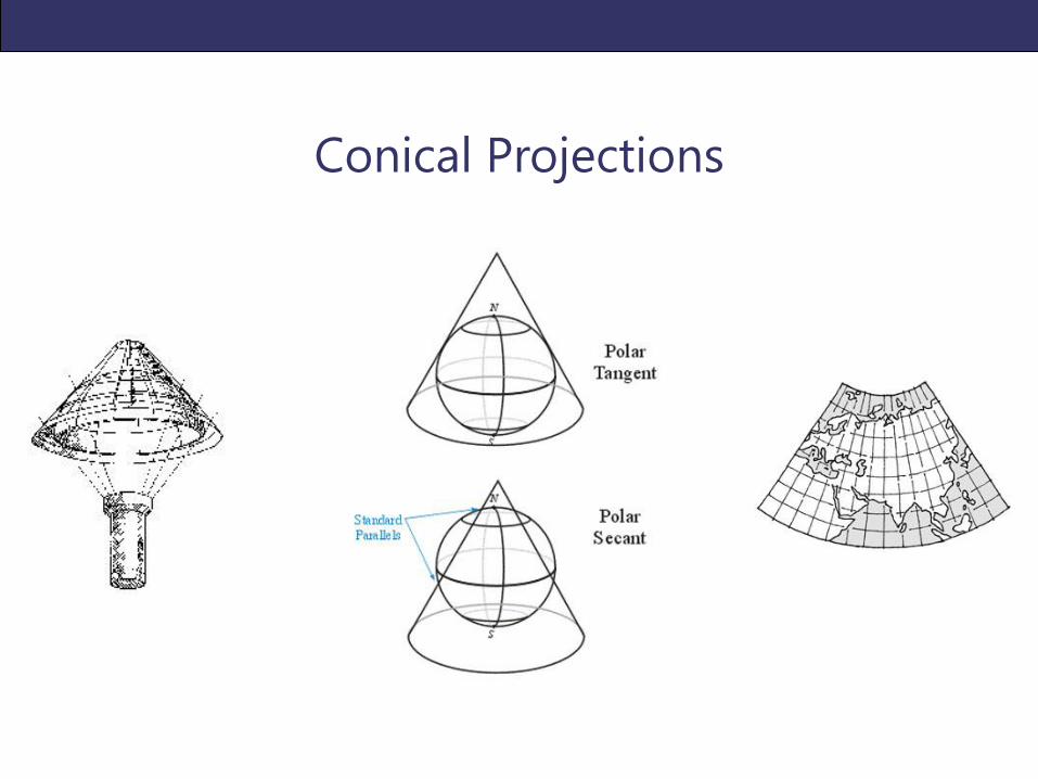
Conical Projections
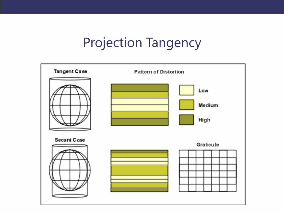
Projection Tangency
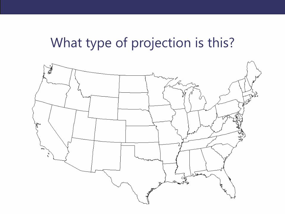
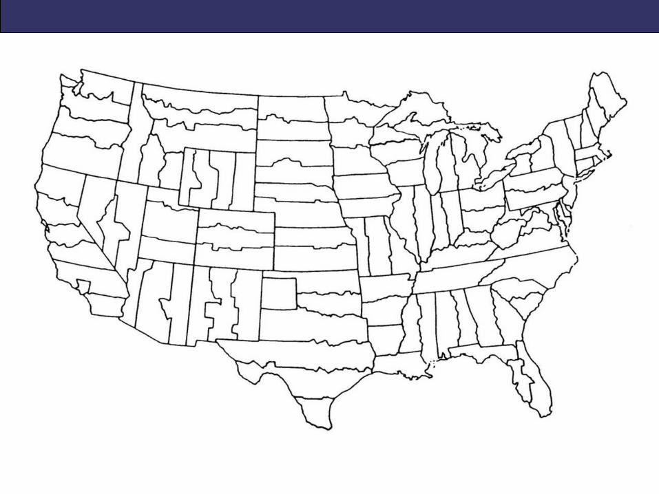
What type of projection is this?
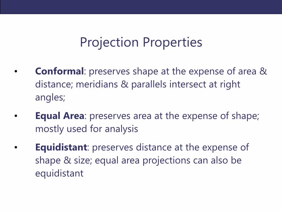
Projection Properties
• Conformal: preserves shape at the expense of area &
distance; meridians & parallels intersect at right
angles;
• Equal Area: preserves area at the expense of shape;
mostly used for analysis
• Equidistant: preserves distance at the expense of
shape & size; equal area projections can also be
equidistant
Projection Resources
COMMON PCS
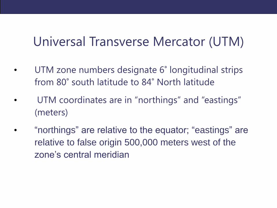
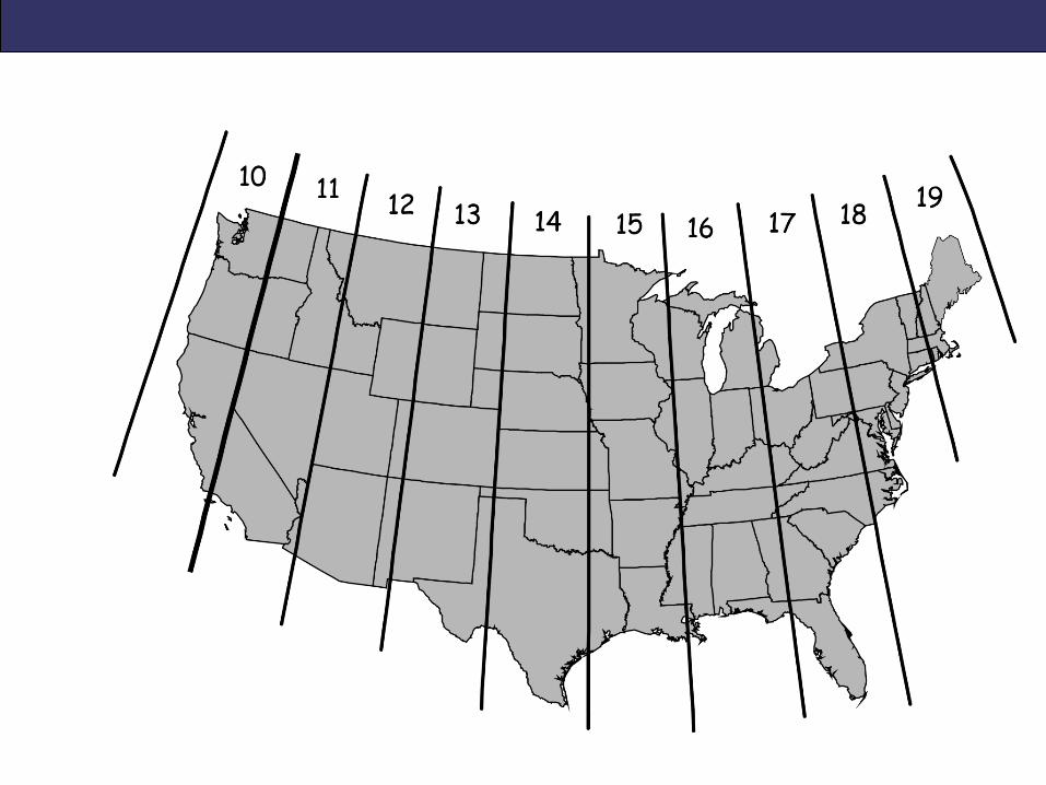
Universal Transverse Mercator (UTM)
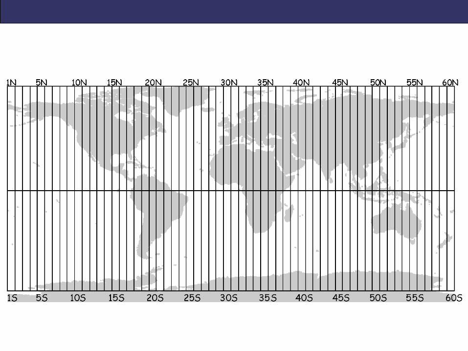
• UTM zone numbers designate 6° longitudinal strips
from 80° south latitude to 84° North latitude
• UTM coordinates are in “northings” and “eastings”
(meters)
• “northings” are relative to the equator; “eastings” are
relative to false origin 500,000 meters west of the
zone’s central meridian
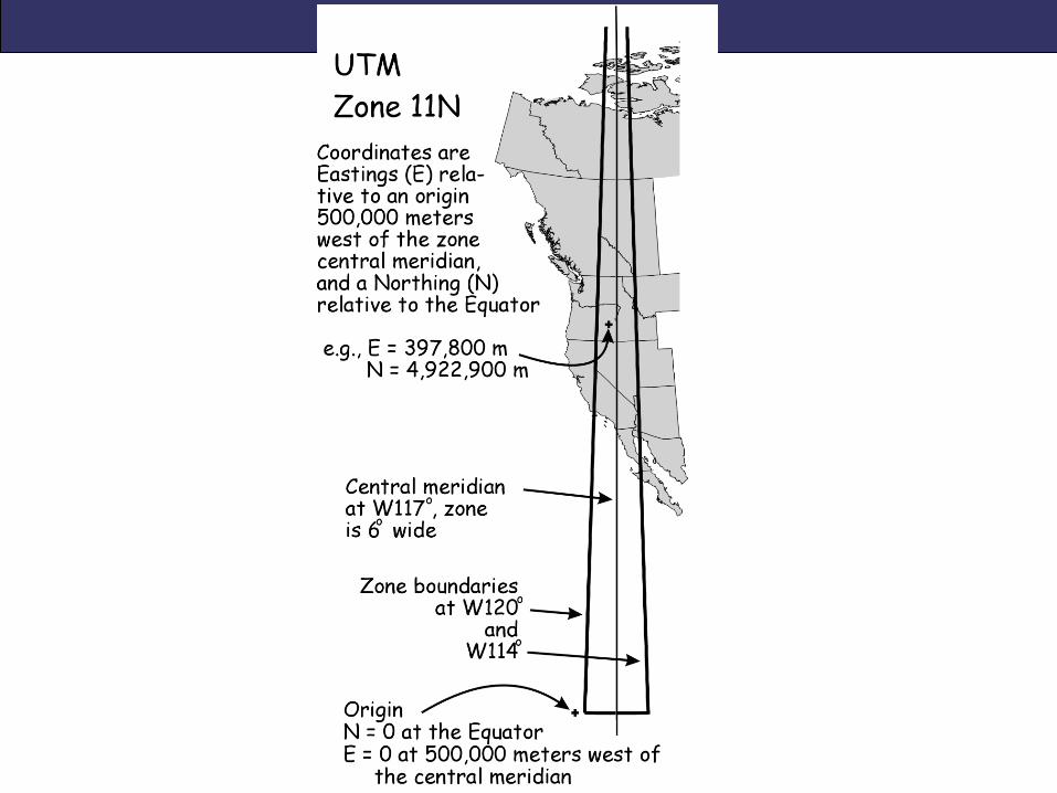
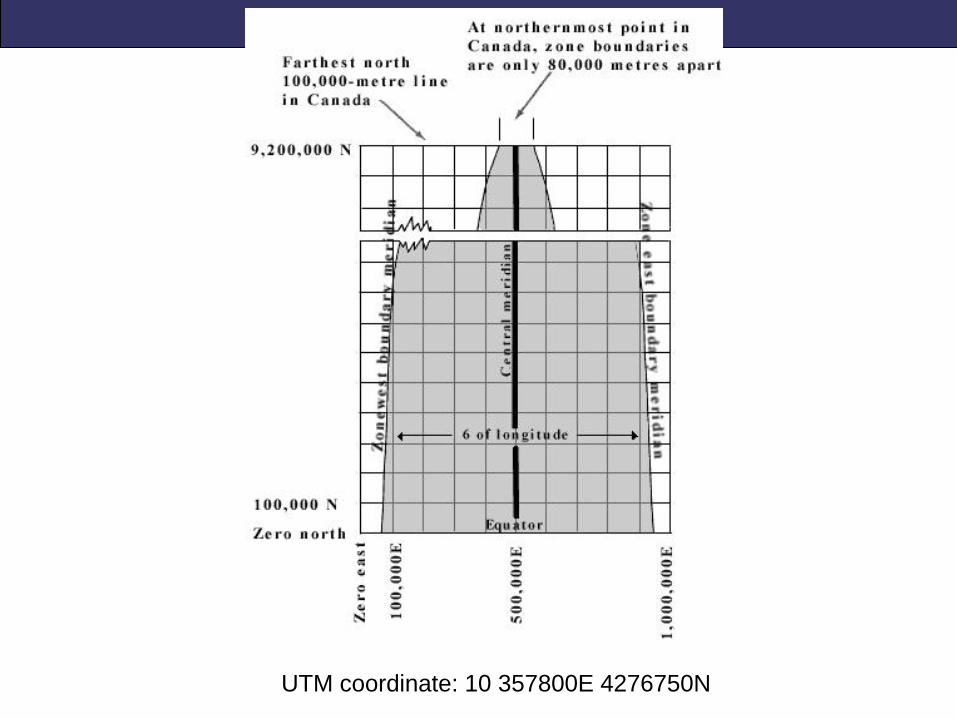
UTM coordinate: 10 357800E 4276750N
State Plane
• Developed in the 1930’s to provide local reference systems
that were tied to a national datum (NAD 83 or NAD 83
HARN)
• Projections are chosen to minimize distortion based on the
state’s shape (good for surveying)
• Feet or meters
• Smaller states use a single state plane zone; larger states are
divided into several zones
• NOT a projection; system is based on different projections
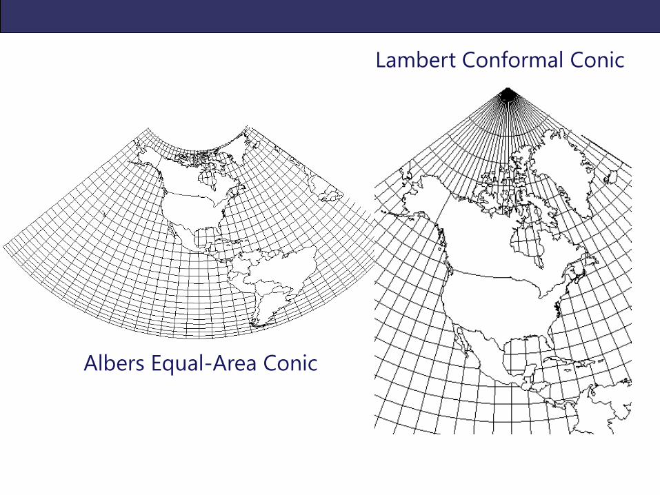
Lambert Conformal Conic
Albers Equal-Area Conic
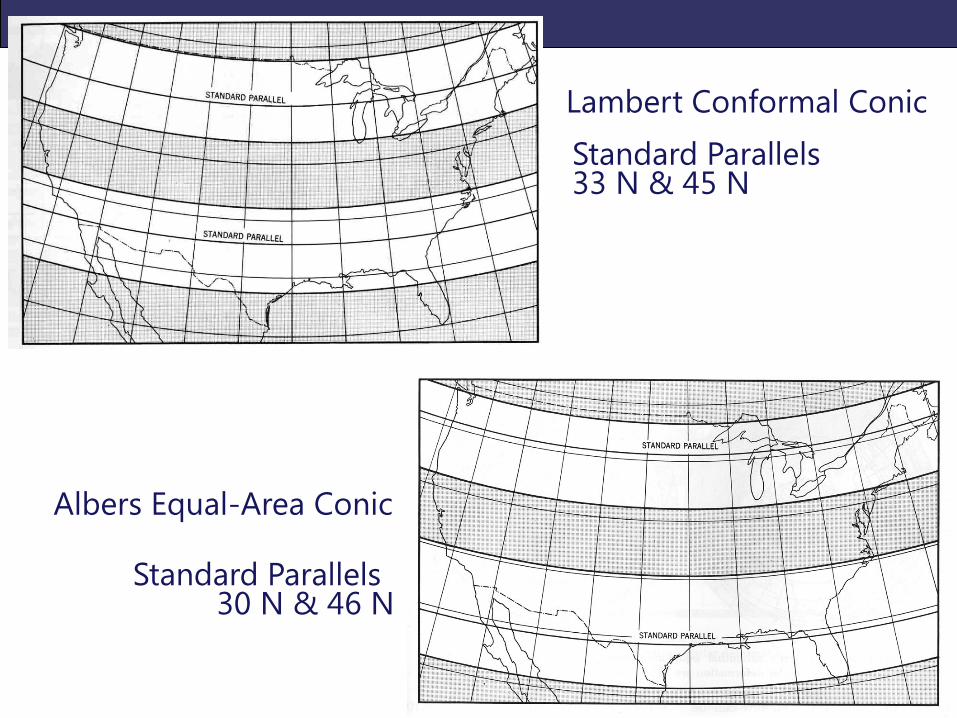
Lambert Conformal Conic
Albers Equal-Area Conic
Standard Parallels 30 N & 46 N
Standard Parallels 33 N & 45 N
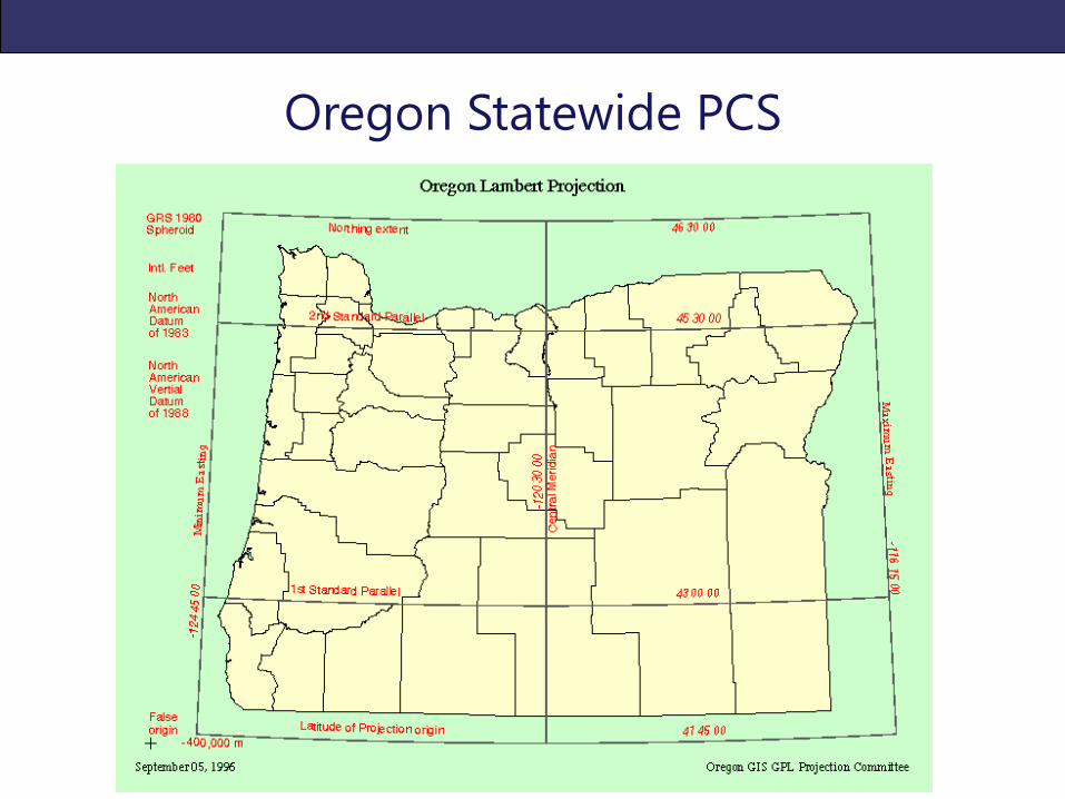
Oregon Statewide PCS

PROJECTIONS IN ARCGIS
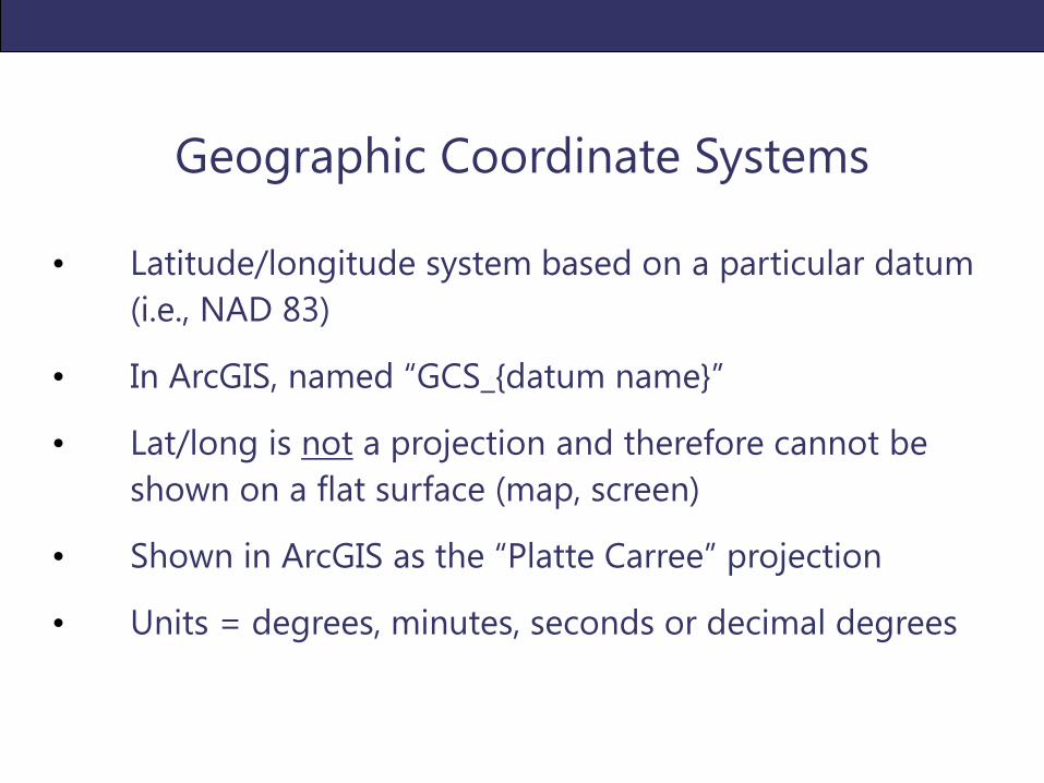
Geographic Coordinate Systems
• Latitude/longitude system based on a particular datum
(i.e., NAD 83)
• In ArcGIS, named “GCS_{datum name}”
• Lat/long is not a projection and therefore cannot be
shown on a flat surface (map, screen)
• Shown in ArcGIS as the “Platte Carree” projection
• Units = degrees, minutes, seconds or decimal degrees
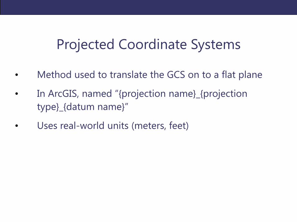
Projected Coordinate Systems
• Method used to translate the GCS on to a flat plane
• In ArcGIS, named “{projection name}_{projection
type}_{datum name}”
• Uses real-world units (meters, feet)
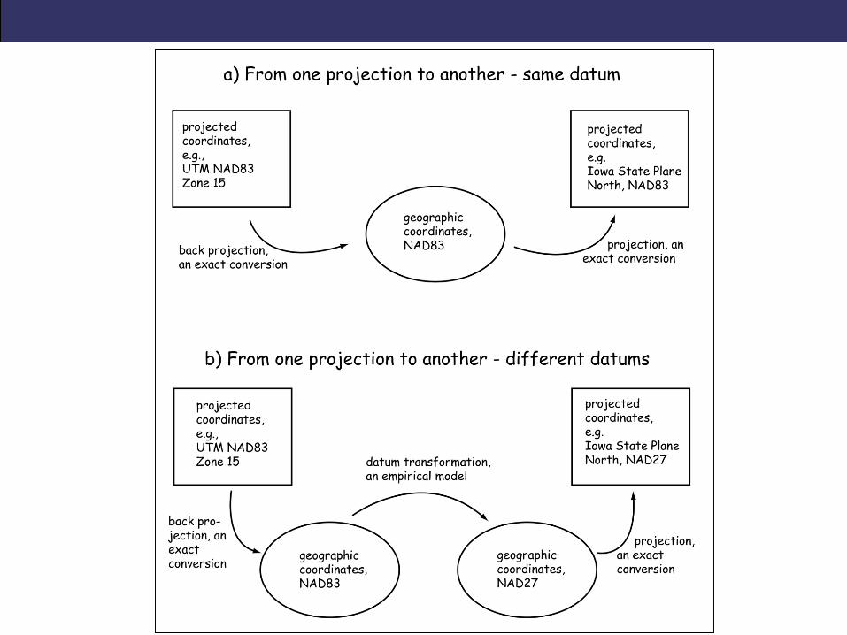
Define Projection v. 'Project' Tools
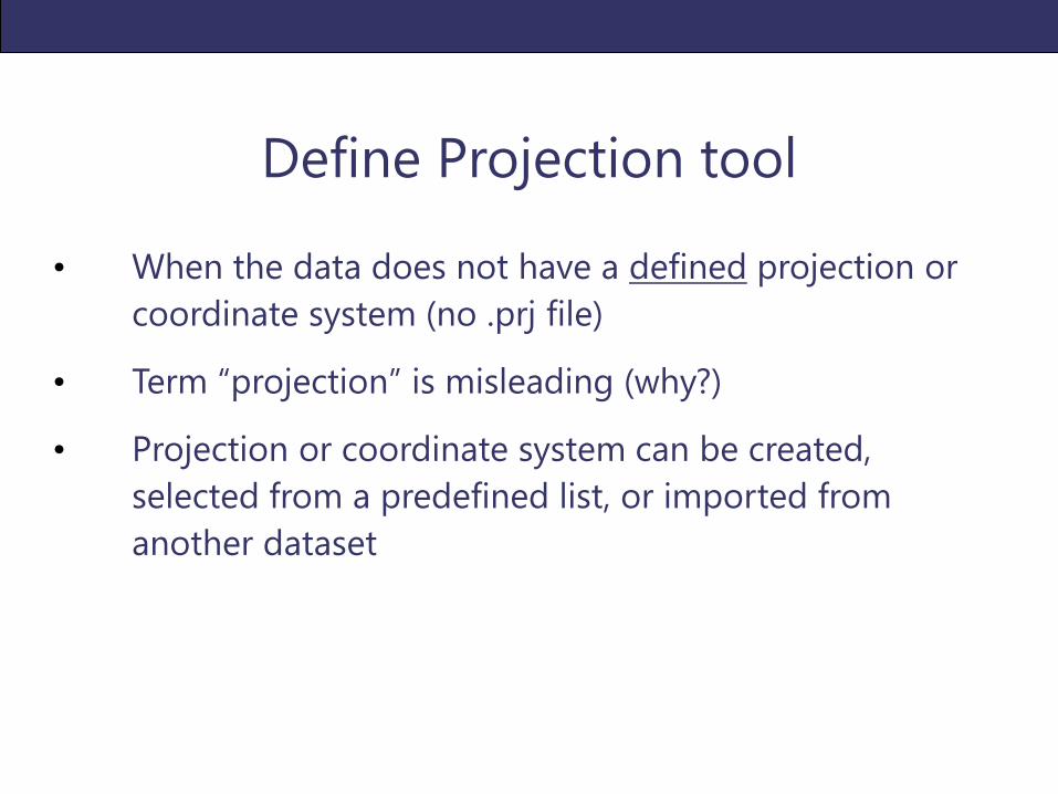
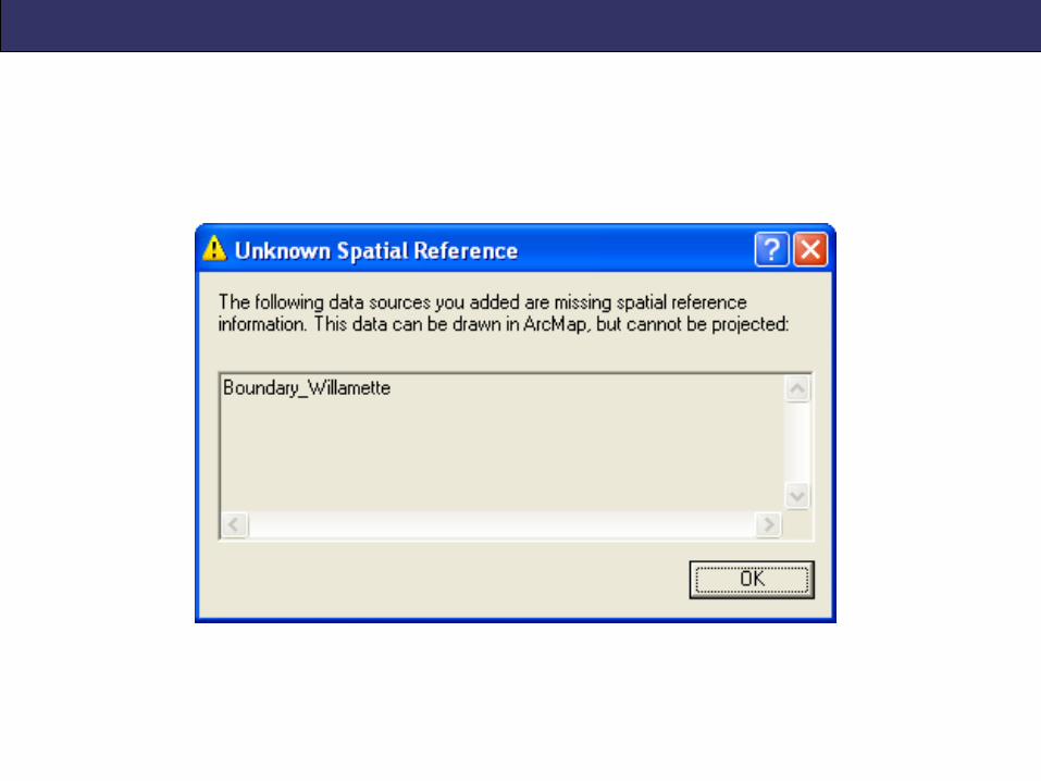
Define Projection tool
• When the data does not have a defined projection or
coordinate system (no .prj file)
• Term “projection” is misleading (why?)
• Projection or coordinate system can be created,
selected from a predefined list, or imported from
another dataset

Project tool
• When you want to change the defined projection or
coordinate system
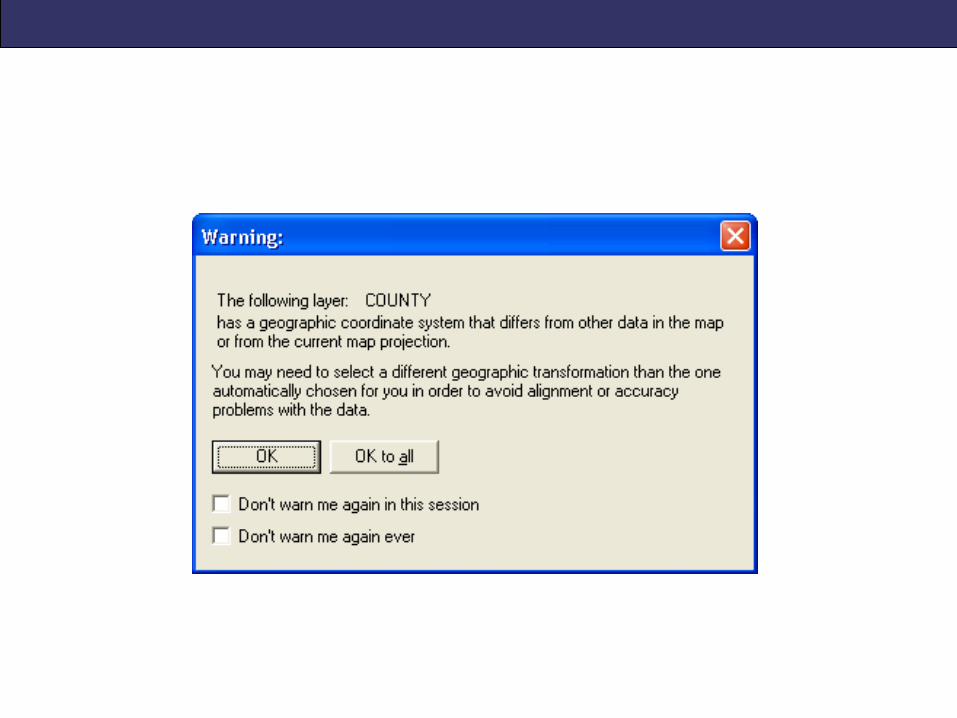
• If the geographic coordinate system changes, requires a
geographic transformation
• Projection or coordinate system can be created,
selected or imported
• Creates a new dataset (user specifies name & storage
location on computer)
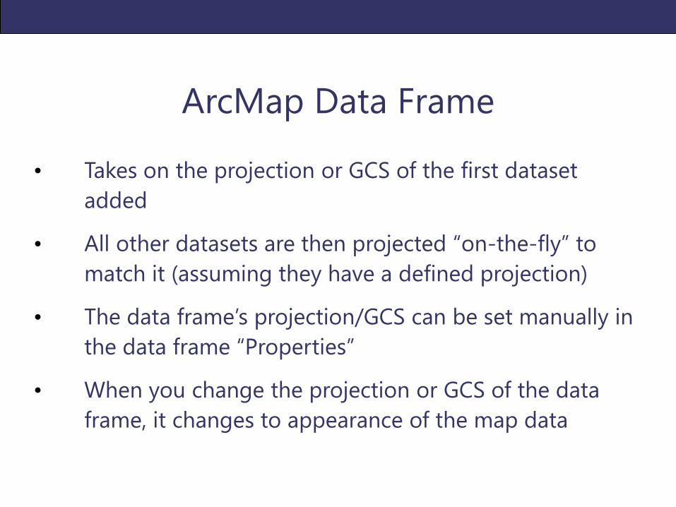
ArcMap Data Frame
• Takes on the projection or GCS of the first dataset
added
• All other datasets are then projected “on-the-fly” to
match it (assuming they have a defined projection)
• The data frame’s projection/GCS can be set manually in
the data frame “Properties”
• When you change the projection or GCS of the data
frame, it changes to appearance of the map data
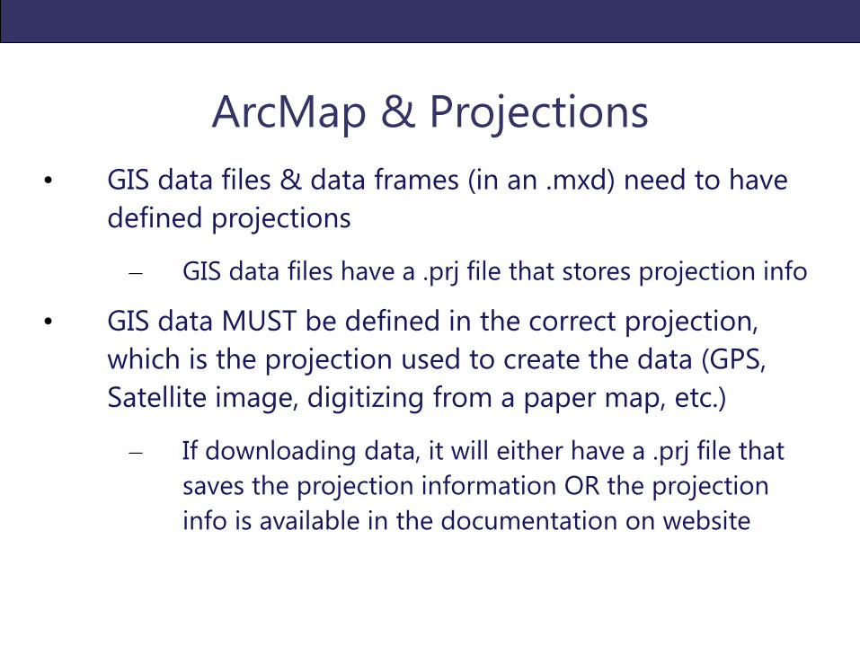
ArcMap & Projections
• GIS data files & data frames (in an .mxd) need to have
defined projections
– GIS data files have a .prj file that stores projection info
• GIS data MUST be defined in the correct projection,
which is the projection used to create the data (GPS,
Satellite image, digitizing from a paper map, etc.)
– If downloading data, it will either have a .prj file that
saves the projection information OR the projection
info is available in the documentation on website
Projections Demo in ArcGIS