innovative business models for agricultural advisory and financial
29
1 Strengthening regional capacity: Bridging last mile & business models for innovative services GEO Plenary-XII Mexico City Nov 20, 2015 Ruud Grim
Transcript of innovative business models for agricultural advisory and financial
1
Strengthening regional capacity: Bridging last mile & business models for innovative services GEO Plenary-XII Mexico City Nov 20, 2015 Ruud Grim
2 Netherlands Space Office
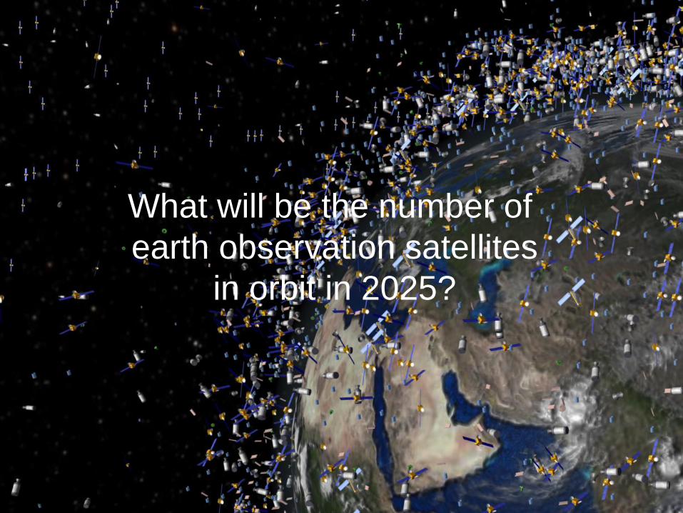
What will be the number of earth observation satellites
in orbit in 2025?
3 Netherlands Space Office
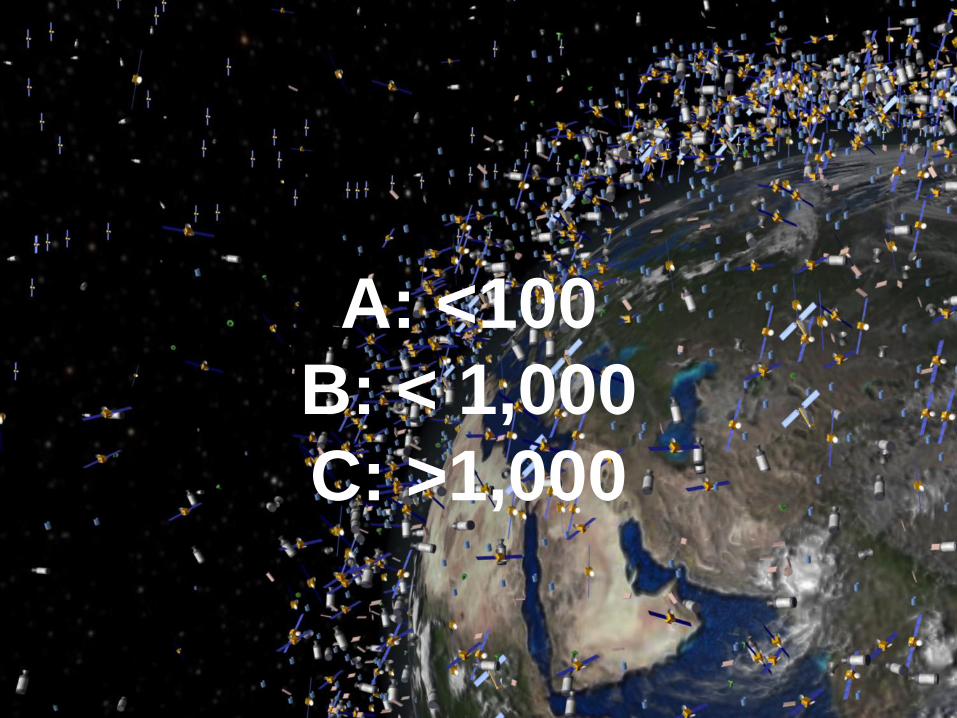
A: <100 B: < 1,000 C: >1,000
4 Netherlands Space Office
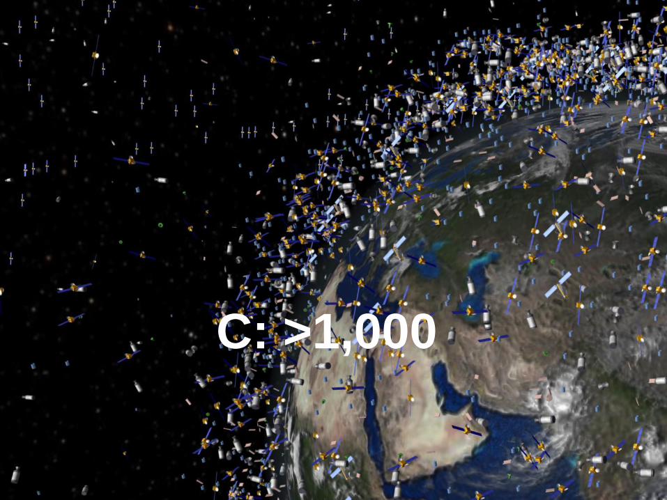
C: >1,000
5
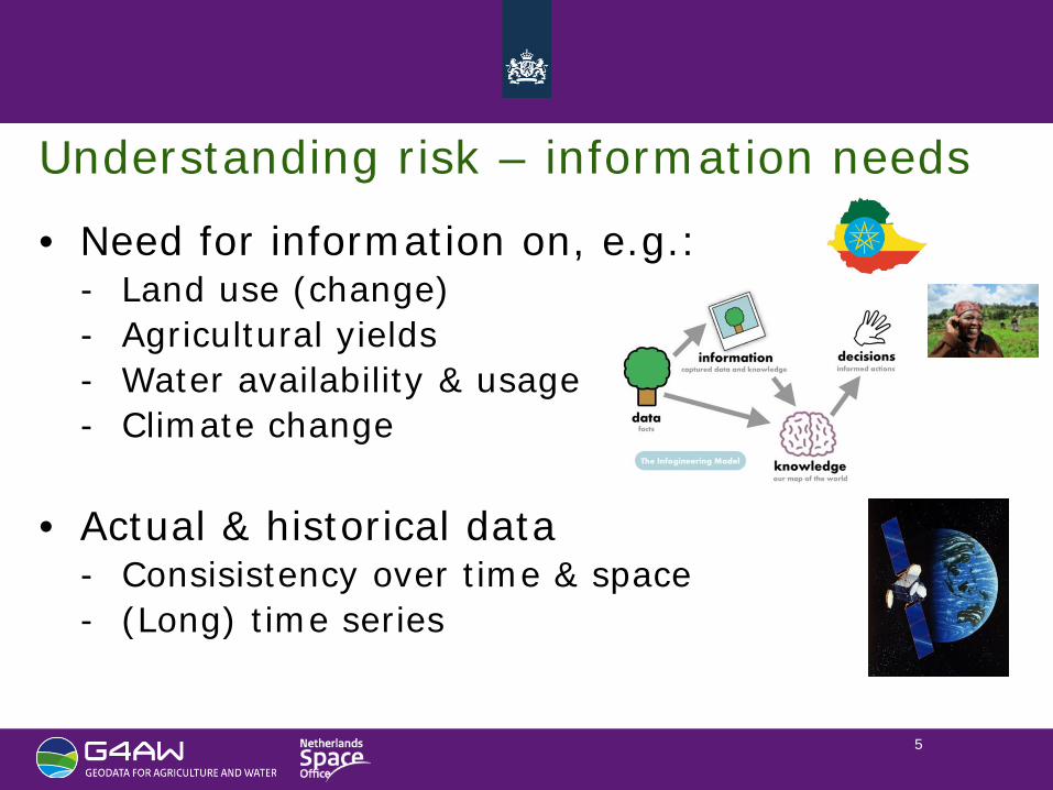
Understanding risk – information needs
• Need for information on, e.g.: - Land use (change) - Agricultural yields - Water availability & usage - Climate change
• Actual & historical data
- Consisistency over time & space - (Long) time series
6
Major obstacles for earth observation (in past)
• Availability: only few operational (commercial) satellites
• Accessibility: archives & datasets not user friendly
• Adaptability: no standards, no conversion tools
• Affordability: high cost for procurement & value adding
• Acceptability: not operational, insufficient quality
7
New trends in EO: the opportunity
• Availability many more satellites: e.g. EC Copernicus, small sat constellations
• Accessibility ICT, the Cloud
• Adaptability standards, adaptable usage (GIS/mobile)
• Affordability free/low cost data, lower cost value adding
• Acceptability fit-to-purpose, increased quality level
8
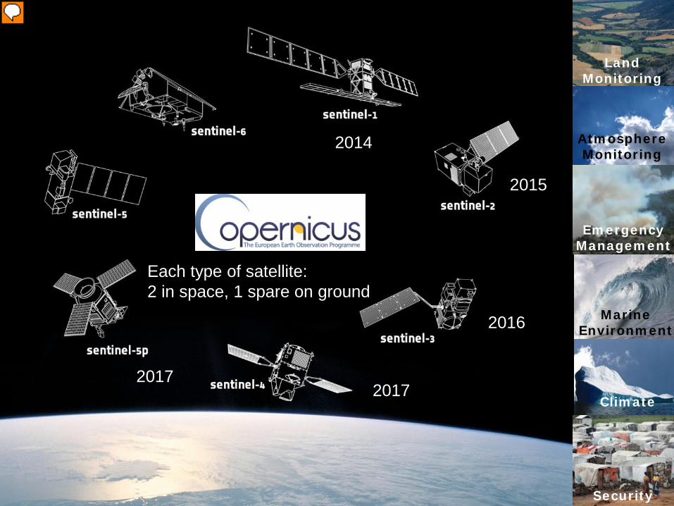
Climate
Land Monitoring
Atmosphere Monitoring
Emergency Management
Marine Environment
Security
Each type of satellite: 2 in space, 1 spare on ground
2014
2015
2016
2017 2017
Presenter
Presentation Notes
Sentinel-1 RADAR (land en mariene applicaties)� Sentinel-2 Multispectraal (landapplicaties)2015� Sentinel-3 Hyperspectraal (mariene applicaties)2015� Sentinel-4 Multispectraal (atmosfeer, geostationaire baan)2021� Sentinel-5PMultispectraal (atmosfeer, polaire baan)2016 Sentinel-5Multispectraal(atmosfeer, polaire baan)2021 Sentinel-6Altimetrie(mariene applicaties)2020� Gratis en open data, gegarandeerde datastroom
9
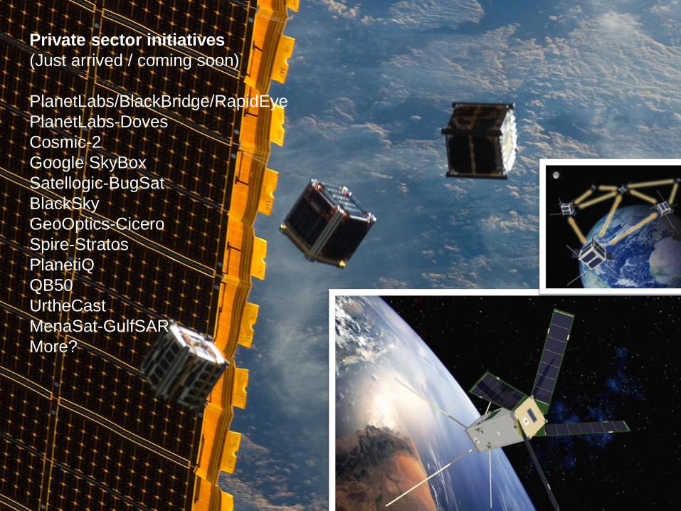
Private sector initiatives (Just arrived / coming soon) PlanetLabs/BlackBridge/RapidEye PlanetLabs-Doves Cosmic-2 Google SkyBox Satellogic-BugSat BlackSky GeoOptics-Cicero Spire-Stratos PlanetiQ QB50 UrtheCast MenaSat-GulfSAR More?
10
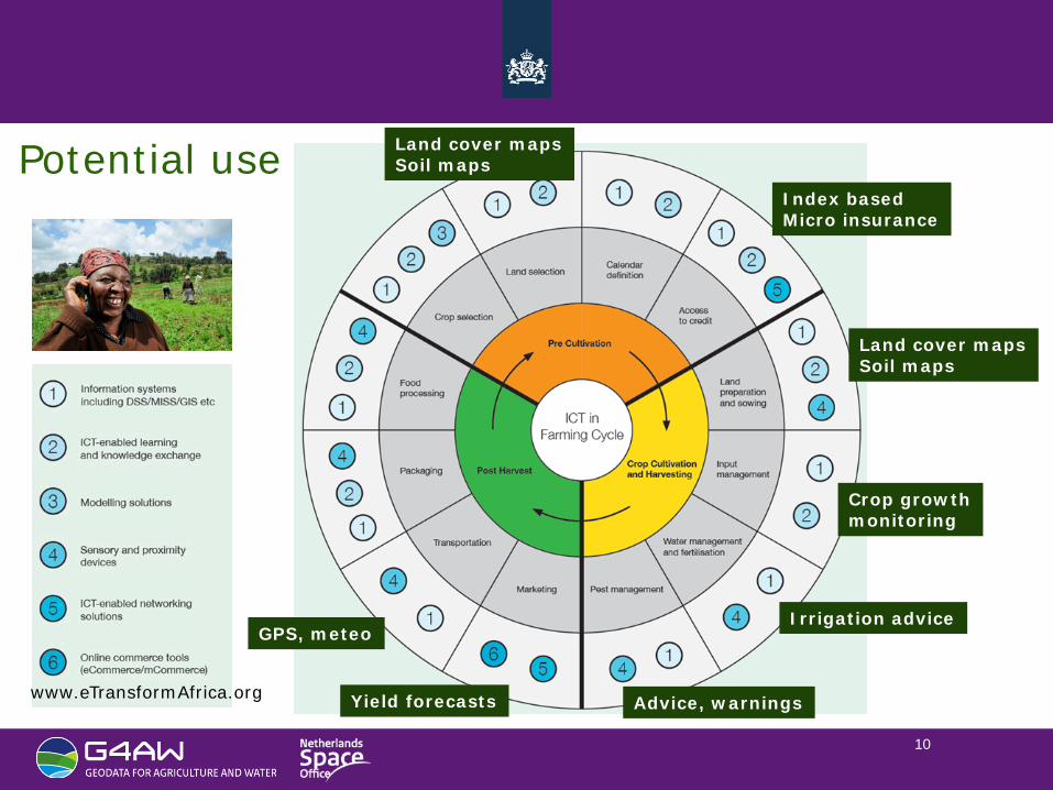
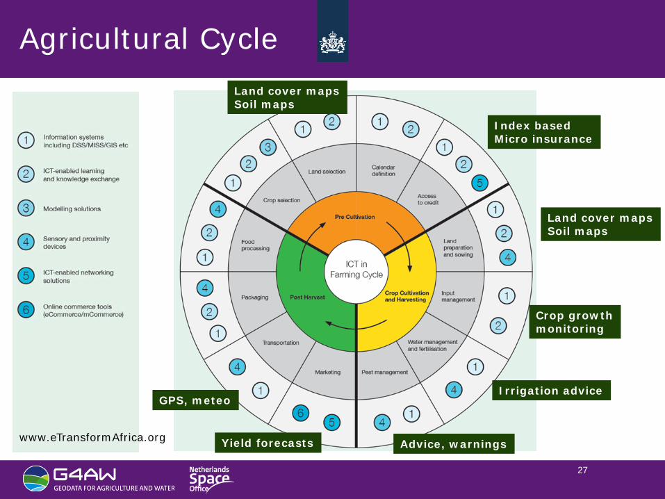
Land cover maps Soil maps
Index based Micro insurance
Irrigation advice
Crop growth monitoring
Advice, warnings
GPS, meteo
Yield forecasts
Land cover maps Soil maps
www.eTransformAfrica.org
Potential use
11
Challenges to overcome
• Last mile: delivery to, communications with the user
• Usability: creating (direct) impact for user
• Information chain: from provider (high tech) – user (bottom of pyramid)
• Organization: public-private partnership, cultural, IPR
• Finance: investments
• Sustainability: business model, license to operate
12
Challenges to overcome G4AW (NL funded)
• Last mile: delivery to, communications with the user
• Usability: creating (direct) impact for user
• Information chain: from provider to user
• Organization: PPP, cultural, IPR
• Finance: investments
• Sustainability: bus. Model, LtO Two call for proposals
13
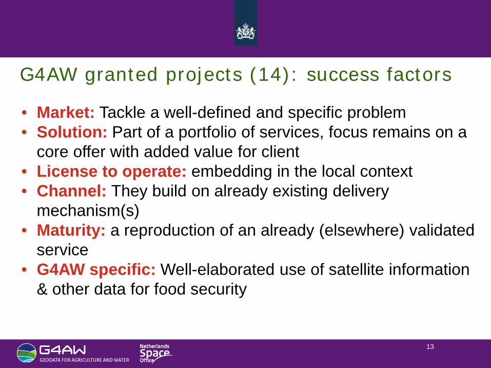
G4AW granted projects (14): success factors
• Market: Tackle a well-defined and specific problem • Solution: Part of a portfolio of services, focus remains on a
core offer with added value for client • License to operate: embedding in the local context • Channel: They build on already existing delivery
mechanism(s) • Maturity: a reproduction of an already (elsewhere) validated
service • G4AW specific: Well-elaborated use of satellite information
& other data for food security
14
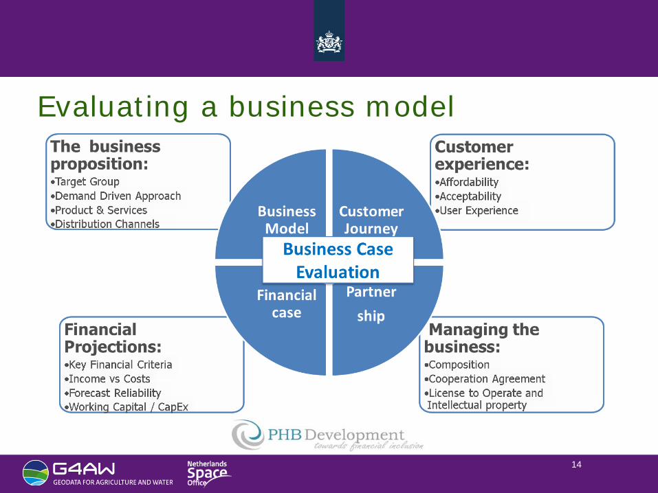
Evaluating a business model
15
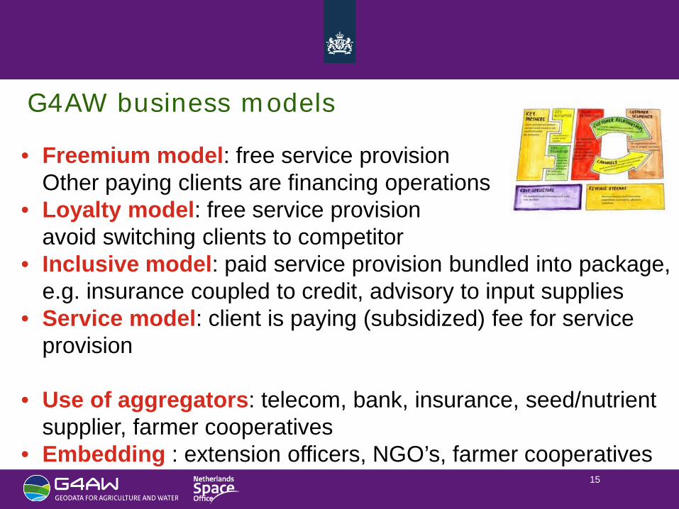
G4AW business models
• Freemium model: free service provision Other paying clients are financing operations
• Loyalty model: free service provision avoid switching clients to competitor
• Inclusive model: paid service provision bundled into package, e.g. insurance coupled to credit, advisory to input supplies
• Service model: client is paying (subsidized) fee for service provision
• Use of aggregators: telecom, bank, insurance, seed/nutrient supplier, farmer cooperatives
• Embedding : extension officers, NGO’s, farmer cooperatives
16
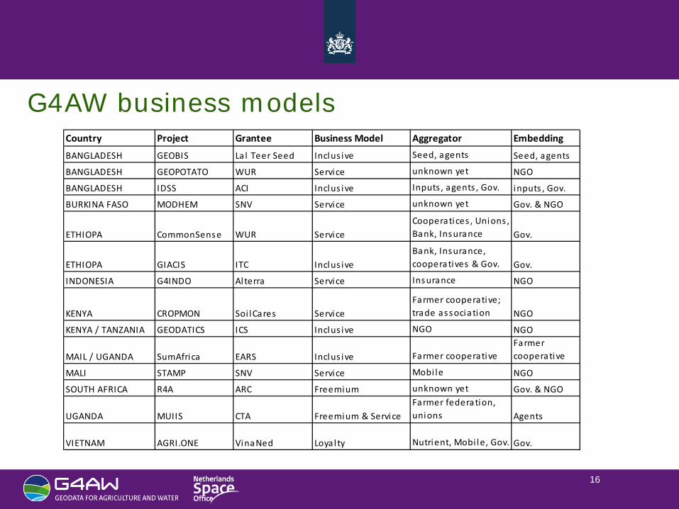
G4AW business models Country Project Grantee Business Model Aggregator Embedding
BANGLADESH GEOBIS La l Teer Seed Inclus ive Seed, agents Seed, agents
BANGLADESH GEOPOTATO WUR Service unknown yet NGO
BANGLADESH IDSS ACI Inclus ive Inputs , agents , Gov. inputs , Gov.
BURKINA FASO MODHEM SNV Service unknown yet Gov. & NGO
ETHIOPA CommonSense WUR ServiceCooperatices , Unions , Bank, Insurance Gov.
ETHIOPA GIACIS ITC Inclus iveBank, Insurance, cooperatives & Gov. Gov.
INDONESIA G4INDO Alterra Service Insurance NGO
KENYA CROPMON Soi lCares ServiceFarmer cooperative; trade association NGO
KENYA / TANZANIA GEODATICS ICS Inclus ive NGO NGO
MAIL / UGANDA SumAfrica EARS Inclus ive Farmer cooperativeFarmer cooperative
MALI STAMP SNV Service Mobi le NGO
SOUTH AFRICA R4A ARC Freemium unknown yet Gov. & NGO
UGANDA MUIIS CTA Freemium & ServiceFarmer federation, unions Agents
VIETNAM AGRI.ONE VinaNed Loyal ty Nutrient, Mobi le, Gov. Gov.
17
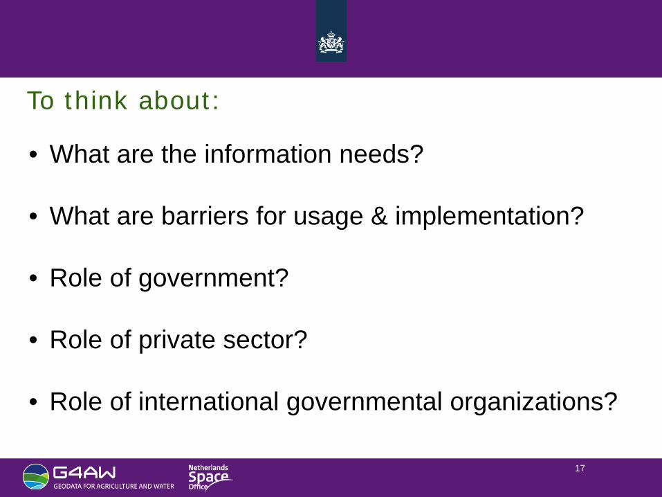
To think about:
• What are the information needs?
• What are barriers for usage & implementation?
• Role of government?
• Role of private sector?
• Role of international governmental organizations?
18
Thank you for your attention
Contact:
G4AW is a programme commissioned by
19
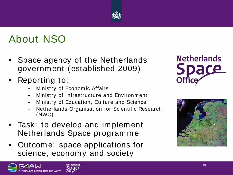
About NSO
• Space agency of the Netherlands government (established 2009)
• Reporting to: Ministry of Economic Affairs Ministry of Infrastructure and Environment Ministry of Education, Culture and Science Netherlands Organisation for Scientific Research (NWO)
• Task: to develop and implement Netherlands Space programme
• Outcome: space applications for science, economy and society
20
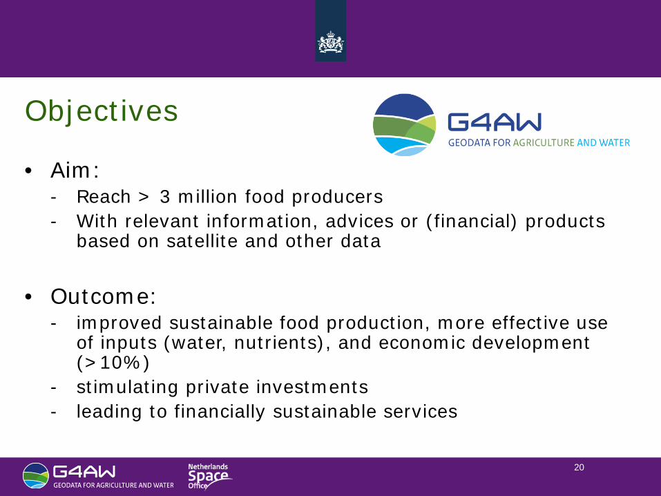
Objectives
• Aim: - Reach > 3 million food producers - With relevant information, advices or (financial) products
based on satellite and other data
• Outcome: - improved sustainable food production, more effective use
of inputs (water, nutrients), and economic development (>10%)
- stimulating private investments - leading to financially sustainable services
21
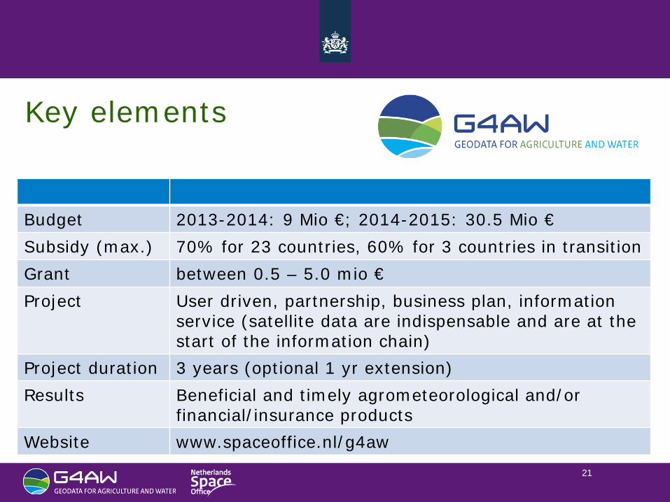
Key elements
Budget 2013-2014: 9 Mio €; 2014-2015: 30.5 Mio € Subsidy (max.) 70% for 23 countries, 60% for 3 countries in transition Grant between 0.5 – 5.0 mio € Project User driven, partnership, business plan, information
service (satellite data are indispensable and are at the start of the information chain)
Project duration 3 years (optional 1 yr extension) Results Beneficial and timely agrometeorological and/or
financial/insurance products Website www.spaceoffice.nl/g4aw
22
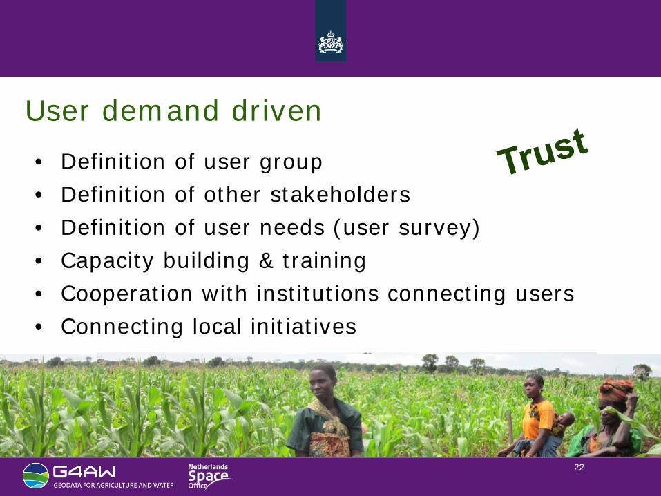
User demand driven • Definition of user group • Definition of other stakeholders • Definition of user needs (user survey) • Capacity building & training • Cooperation with institutions connecting users • Connecting local initiatives
23
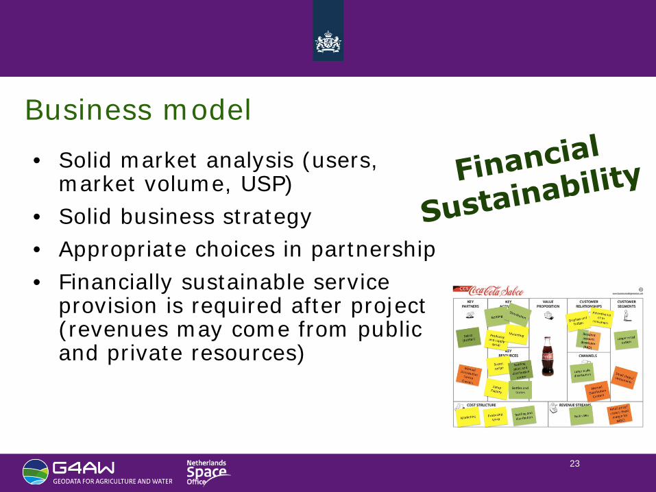
Business model • Solid market analysis (users,
market volume, USP) • Solid business strategy • Appropriate choices in partnership • Financially sustainable service
provision is required after project (revenues may come from public and private resources)
24
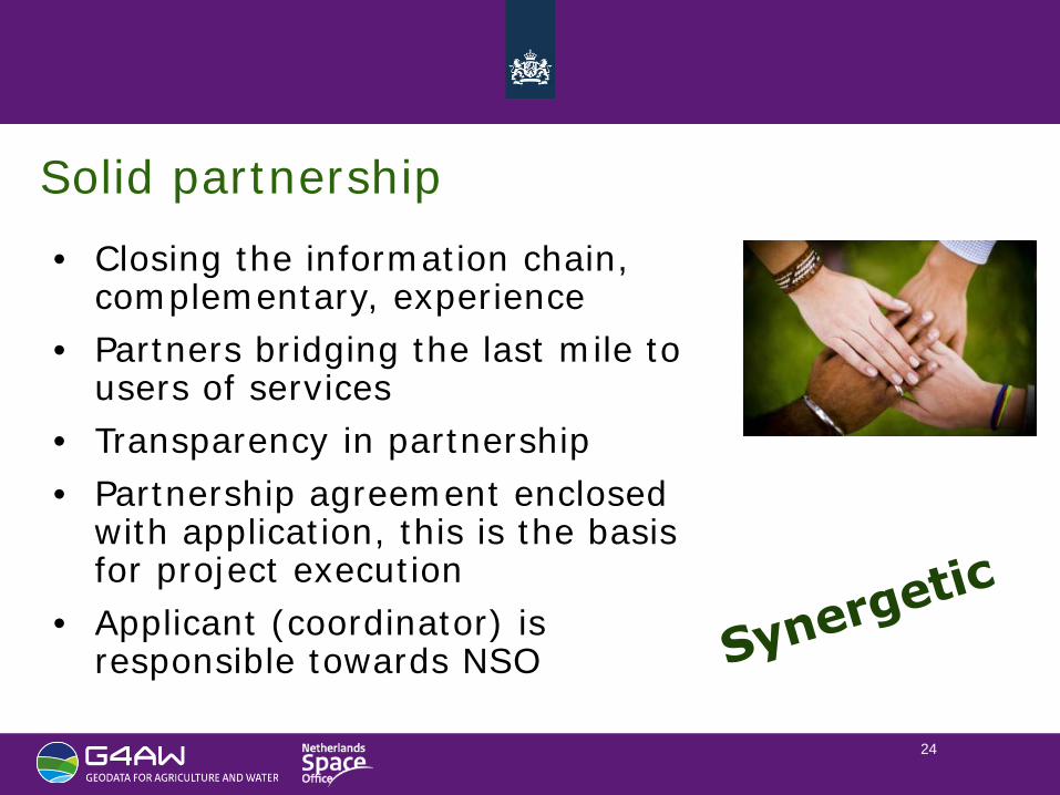
Solid partnership • Closing the information chain,
complementary, experience • Partners bridging the last mile to
users of services • Transparency in partnership • Partnership agreement enclosed
with application, this is the basis for project execution
• Applicant (coordinator) is responsible towards NSO

25
Information service • Satellite data are at the start of the
information chain • Based on proven technology and
services • Transmission channel(s) reaching
users • License-to-operate (legal, available
data)
Presenter
Presentation Notes
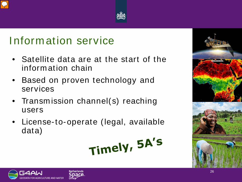
ACCEPTABLE, AFFORDABLE, AVAILABLE, ACCOUNTABLE
26
Information service • Satellite data are at the start of the
information chain • Based on proven technology and
services • Transmission channel(s) reaching
users • License-to-operate (legal, available
data)
Presenter
Presentation Notes
ACCEPTABLE, AFFORDABLE, AVAILABLE, ACCOUNTABLE
27
Agricultural Cycle
Land cover maps Soil maps
Index based Micro insurance
Irrigation advice
Crop growth monitoring
Advice, warnings
GPS, meteo
Yield forecasts
Land cover maps Soil maps
www.eTransformAfrica.org
28
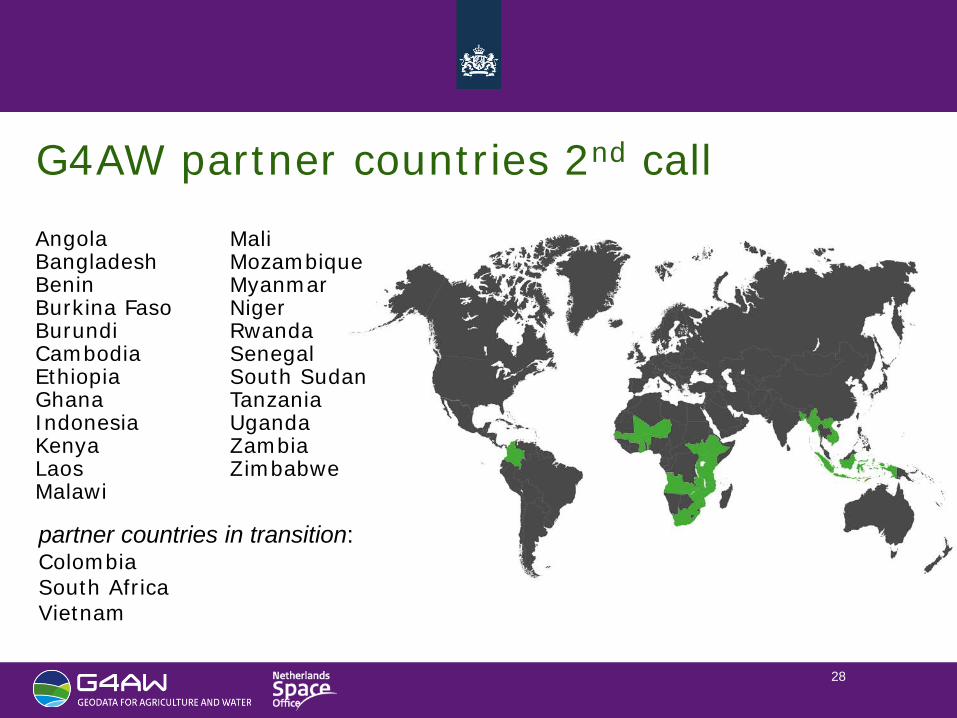
G4AW partner countries 2nd call Angola Bangladesh Benin Burkina Faso Burundi Cambodia Ethiopia Ghana Indonesia Kenya Laos Malawi
Mali Mozambique Myanmar Niger Rwanda Senegal South Sudan Tanzania Uganda Zambia Zimbabwe
partner countries in transition: Colombia South Africa Vietnam
29
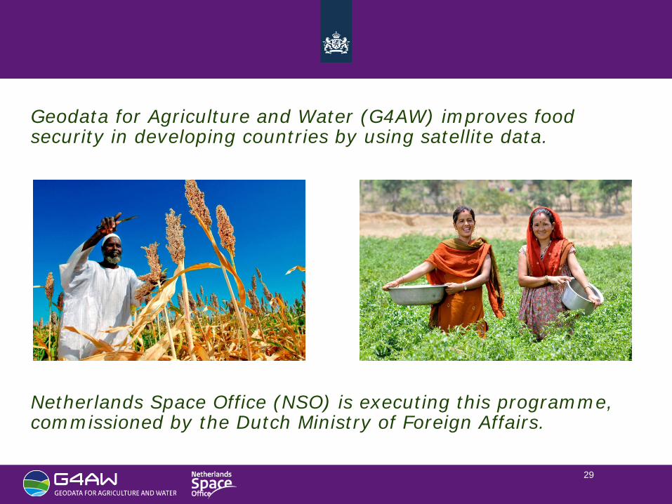
Geodata for Agriculture and Water (G4AW) improves food security in developing countries by using satellite data. Netherlands Space Office (NSO) is executing this programme, commissioned by the Dutch Ministry of Foreign Affairs.