Http://video.nationalgeographic.com/video/sci ence/earth-sci/weather-101-sci
36
Climate and Weather http:// video.nationalgeographic.com/ video/science/earth-sci/weather- 101-sci/
-
Upload
mabel-james -
Category
Documents
-
view
252 -
download
0
Transcript of Http://video.nationalgeographic.com/video/sci ence/earth-sci/weather-101-sci

Climate andWeather
http://video.nationalgeographic.com/video/science/earth-sci/weather-101-sci/

How Does The Weather Affect You??
What shoes you wear
(Boots? Sandals?)
Jacket? Sweater? T-Shirt?
Walk or take the TTC?
Bike or get a drive?
Umbrella? What time you wake up?
Your mood?
Your activities for the day
Any More?
Sunglasses?
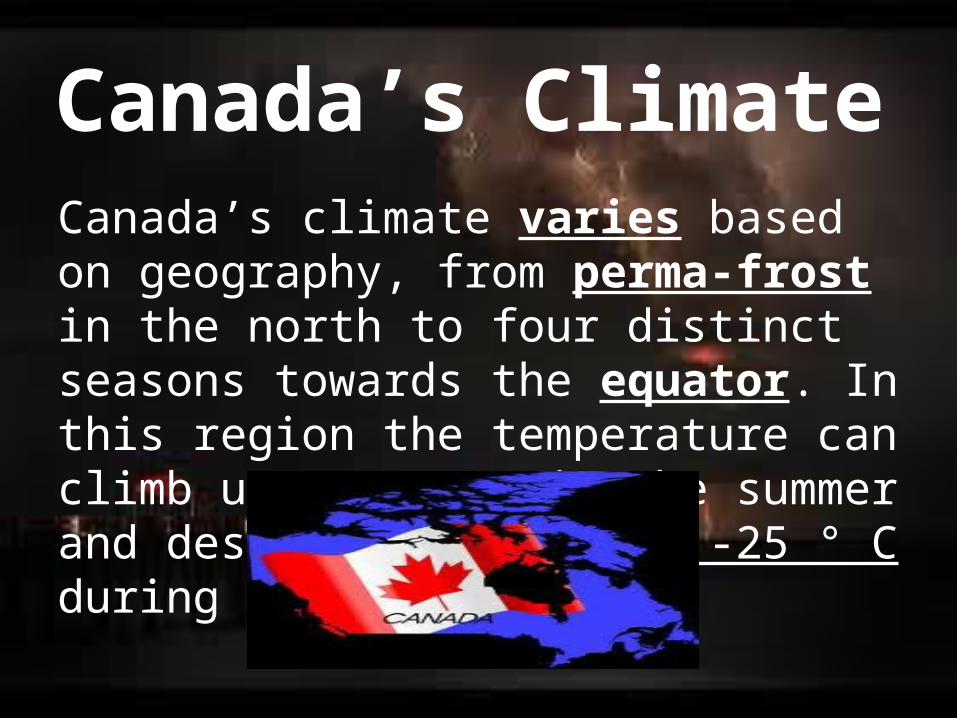
Canada’s ClimateCanada’s climate varies based on geography, from perma-frost in the north to four distinct seasons towards the equator. In this region the temperature can climb up to 35° C in the summer and descend to a chilly -25 ° C during winter.
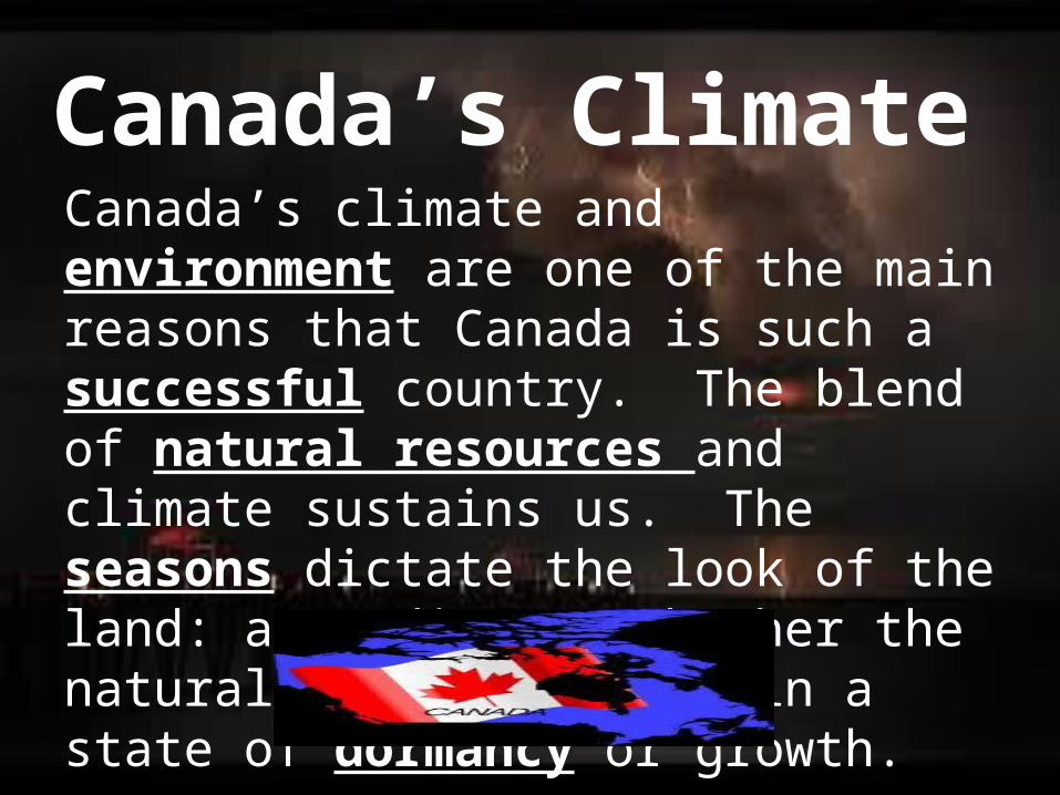
Canada’s ClimateCanada’s climate and environment are one of the main reasons that Canada is such a successful country. The blend of natural resources and climate sustains us. The seasons dictate the look of the land: according to whether the natural environment is in a state of dormancy or growth.

Canada’s ClimateCanada’s climate is characterized by its diversity, as temperature and precipitation differ depending on where you are and what time of year it is. Other than the North where it is above freezing for only 2-3 months in the year, most Canadian cities are within 300 km of the southern border, where mild springs, hot summers and crisp autumns are common.

So far, we have broken down Canada into regions based on a single factor which was landforms. Our next goal is to divide Canada up into climate regions and to determine why each region within Canada has its own unique climate. To fully understand this concept we must start by distinguishing the difference between WEATHER and CLIMATE.
Canada’s Climate

Weather:- Is a result of day-to-day conditions of the atmosphere- Includes the temperatures outside, if it is hot/cold, raining/snowing, windy/humid, etc.

Climate:
- Weather conditions of a place averaged over a long period of time (usually 30 years!)- Different parts of Canada have different climatesExample: Toronto compared to Vancouver

Canada’s Climate Zones

1. 2. 3. 4. 5.

Defining Climate…• Temperature• Precipitation• Relative Humidity• Wind• Special Weather Conditions
Temperature
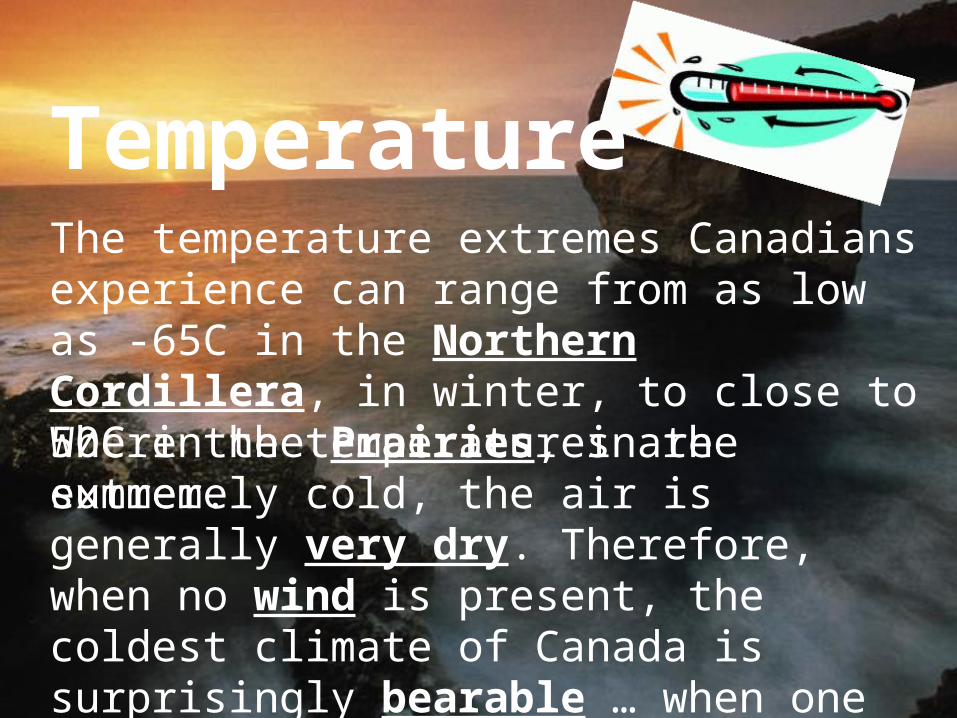
Where the temperatures are extremely cold, the air is generally very dry. Therefore, when no wind is present, the coldest climate of Canada is surprisingly bearable … when one wears appropriate clothing, of course!
The temperature extremes Canadians experience can range from as low as -65C in the Northern Cordillera, in winter, to close to 50C in the Prairies, in the summer.

PrecipitationPrecipitation is not equally distributed over the Canadian territory, from one region to another, as well as from one season to another. The Pacific region, and the Atlantic provinces receive the most, while the southern Prairie region receives the least.
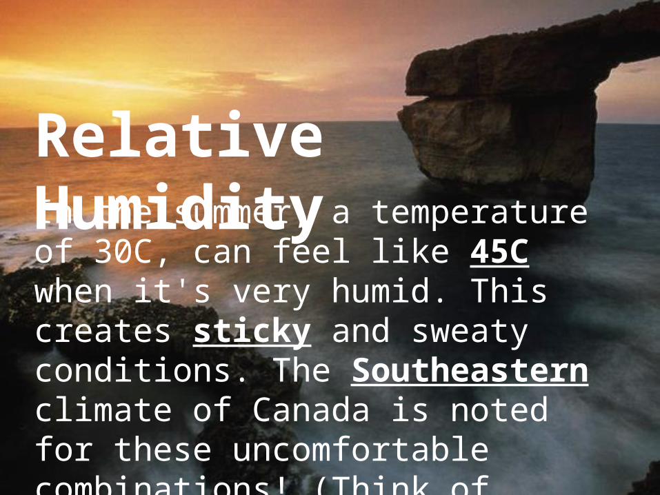
Relative HumidityIn the summer, a temperature of 30C, can feel like 45C when it's very humid. This creates sticky and sweaty conditions. The Southeastern climate of Canada is noted for these uncomfortable combinations! (Think of Toronto!)


WindThe wind chill factor will lower the effective temperature (for exposed flesh) much below the ambient (actual) temperature


Special Weather Conditions The southern and southeastern regions of Canada experience thunderstorms, some of them severe, in the summer. Lastly, a few tornadoes occur, mostly in the southern interior, in the summer. The occasional hurricane will move up the North-American East coast, as far up as the Atlantic provinces, in early autumn.

Temperature Ranges and Annual Precipitation

Canada’s Climate Zones

Why do Different Parts of Canada experience different climates?
There are 4 factors that affect climate:
1. Latitude 2. Relief + Elevation3. Continental + Maritime Environ.4. Winds + Pressure Systems

Why do Different Parts of Canada experience different climates?
There are 4 factors that affect climate:
1. Latitude 2. Relief + Elevation3. Continental + Maritime Environ.4. Winds + Pressure Systems

1. Latitude1.The further a region is
from the equator, the cooler the climate
2.The closer a region is to the equator, the warmer its climate

Why does the temperature decrease as you move from the equator?
Concentrated
Spread Out
Spread Out
Result: the sun’s rays travel through more atmosphere and therefore are weaker!

Why do Different Parts of Canada experience different climates?
There are 4 factors that affect climate:
1. Latitude
2. Relief + Elevation3. Continental + Maritime Environ.4. Winds + Pressure Systems

2. Relief and ElevationRelief: The difference in elevation on the Earth’s surface
20 m
12, 000 m
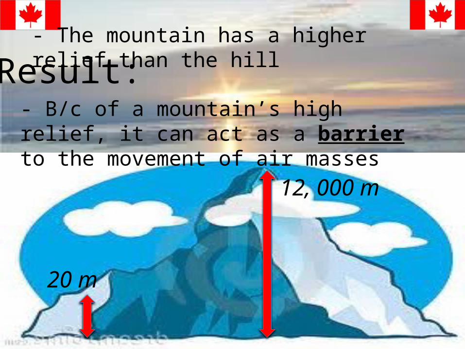
- The mountain has a higher relief than the hill
20 m
12, 000 m
- B/c of a mountain’s high relief, it can act as a barrier to the movement of air masses
Result:

Vancouver Calgary
Warm air mass
OCEAN WESTERN CORDILLERA
BARRIER
Cold and DRY weather

Vancouver Calgary

Elevation:-The Higher the elevation, the colder the temperature
Example: if you were hiking up a mountain, you would notice that the temperature drops
Temperature decreases as you
10°C
- 10°C

Why does the temperature decrease with increasing elevation?-As air rises it expands and releases energy (heat), because there is less air pressure
- The weight of air above you

What is Condensation?• It is the change of the state of matter from
a gas phase (in our case air) to a liquid phase (to rain and snow) after cooling• What does the condensation level on a
mountain represent?• What’s the opposite of condensation?
Vaporization!

Air mass rising over mountain
_ _ _ _ _ _ _ _ _ _ _ _ _ 1700m Condensation Level
Step 1 – How far will the air rise before condensation begins?
= 1700m – 0m= 1700m
Step 2 – How much will the temp. drop in this distance? (Rate of cooling = 1°C/100m)
= 1700m x 1°C / 100m= 17°C
Step 3 – How far will the air mass rise after condensation begins?
= 2200m – 1700m= 500m
2200 m
Sea Level – 0m (Temperature = 21°C)

Air mass rising over mountain
_ _ _ _ _ _ _ _ _ _ _ _ _ 1700m Condensation Level
IS THERE SNOW AT THE TOP OF THIS MOUNTAIN??
NO
Step 4 – How much will the temp. drop in this distance? (Rate of cooling is 0.6°C /100m)
= 500m x 0.6°C / 100m= 3.0°C
Step 5 – What will the temperature be at the top of the mountain?
= 21°C - (17°C + 3°C )= 1°C
2200 m
Sea Level – 0m (Temperature = 21°C)

Air mass rising over mountain
_ _ _ _ _ _ _ _ _ _ _ _ _ 900m Condensation Level
Step 1 – How far will the air rise before condensation begins?
= 900m – 0m= 900m
Step 2 – How much will the temp. drop in this distance? (Rate of cooling = 1°C/100m)
= 900m x 1°C / 100m= 9°C
Step 3 – How far will the air mass rise after condensation begins?
= 1400m – 900m= 500m
1400 m
Sea Level – 0m (Temperature = 26°C)

Air mass rising over mountain
_ _ _ _ _ _ _ _ _ _ _ _ _ 900m Condensation Level
IS THERE SNOW AT THE TOP OF THIS MOUNTAIN??
NO
Step 4 – How much will the temp. drop in this distance? (Rate of cooling is 0.6°C /100m)
= 500m x 0.6°C / 100m= 3.0°C
Step 5 – What will the temperature be at the top of the mountain?
= 26°C - (9°C + 3°C )= 14°C
1400 m
Sea Level – 0m (Temperature = 26°C)