Hosted by Mrs. Dempsey 100 200 400 300 400 Models of Earth Maps and Computers Topography Random 300...
22
Hosted by Mrs. Dempsey
-
Upload
derek-erick-waters -
Category
Documents
-
view
215 -
download
1
Transcript of Hosted by Mrs. Dempsey 100 200 400 300 400 Models of Earth Maps and Computers Topography Random 300...

Hosted
by
Mrs. Dempsey

100 100
200 200
400 400
300
400
Models of Earth
Maps and Computers
Topography Random
300 300 300
200
400
200
100
500 500 500 500
100
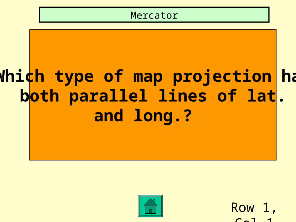
Row 1, Col 1
Which type of map projection hasboth parallel lines of lat.
and long.?
Mercator

1,2
What is a satellite image made up of?
Pixels

1,3
What does a contour line represent?
Area of equal elevation

1,4
Name 3 features that youwould find on a topographic
map of Newton
Hills, lakes, rivers, hiking trails, forest areas

2,1
The measurement of distancenorth and south of the equator
Latitude
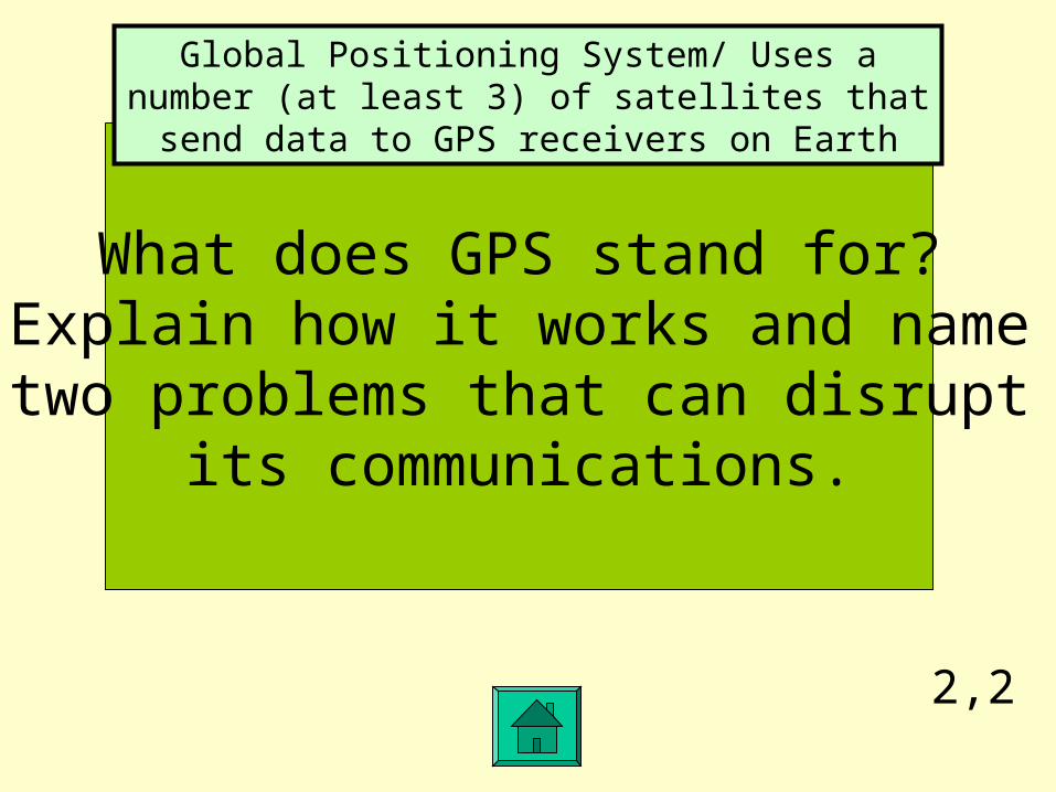
2,2
What does GPS stand for?Explain how it works and nametwo problems that can disrupt
its communications.
Global Positioning System/ Uses a number (at least 3) of satellites that send data to GPS receivers on Earth

2,3
What is a landform’sheight above sea level called?
Elevation

2,4
What are the dark contour lineson a topographic map?
(hint: usually every 5 line)
Index contours
3,1
Name a landform thathas high elevation and a
flat surface.
Plateau
3,2
Name 3 “false” colors thatLandsat satellite use and what
they represent.
Black-water, red-forests, gray-cities

3,3
How can you tell whether a stream on a map flows into or
out of a lake?
V-shaped contours would point towards the direction it was flowing from. If the V’s point toward the lake, it
was flowing from/out the lake

3,4
How do you determine the contour interval on a
topographic map?
Determine the difference in elevation between 2 dark index contours, then divide that number by number of
contour intervals between the dark lines.
4,1
What unit of distance is 1/60 of a degree?Come up to the board and write the
following coordinates correctly47 degrees and 40 minutes north by
0 degrees and 5 minutes east
Minute /
4,2
What is the process called that mapmakers use that
converts the location of map points to numbers
Digitizing
4,3
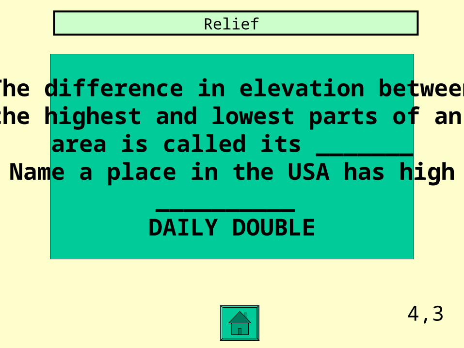
The difference in elevation betweenthe highest and lowest parts of an
area is called its _______Name a place in the USA has high
__________ DAILY DOUBLE
Relief

4,4
If the scale on a map is1:63,360 what does it mean?
1 inch is equal to 63,360 inches or one mile

5,1
Name one country in eachof the 4 hemispheres
DAILY DOUBLE

5,2
Name 3 ways we rely on satellites
Communication, weather forecasting, mapping

5,3
What does the word gradient mean? How could you findthe gradient of a area on a
topographic map?
Slope / Rise/run usually expressed in ft./mile or m/km

5,4
How many degrees oflatitude and longitude are
there in the northern hemisphere?
90º latitude and 360º of longitude