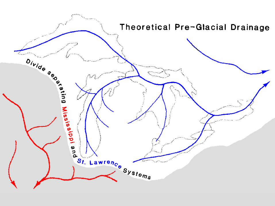
Honey, I shrunk the glacier. Extent of ice during Pleistocene glaciations.
83
Honey, I shrunk the glacier
-
date post
19-Dec-2015 -
Category
Documents
-
view
216 -
download
0
Transcript of Honey, I shrunk the glacier. Extent of ice during Pleistocene glaciations.

Honey, I shrunk the glacier
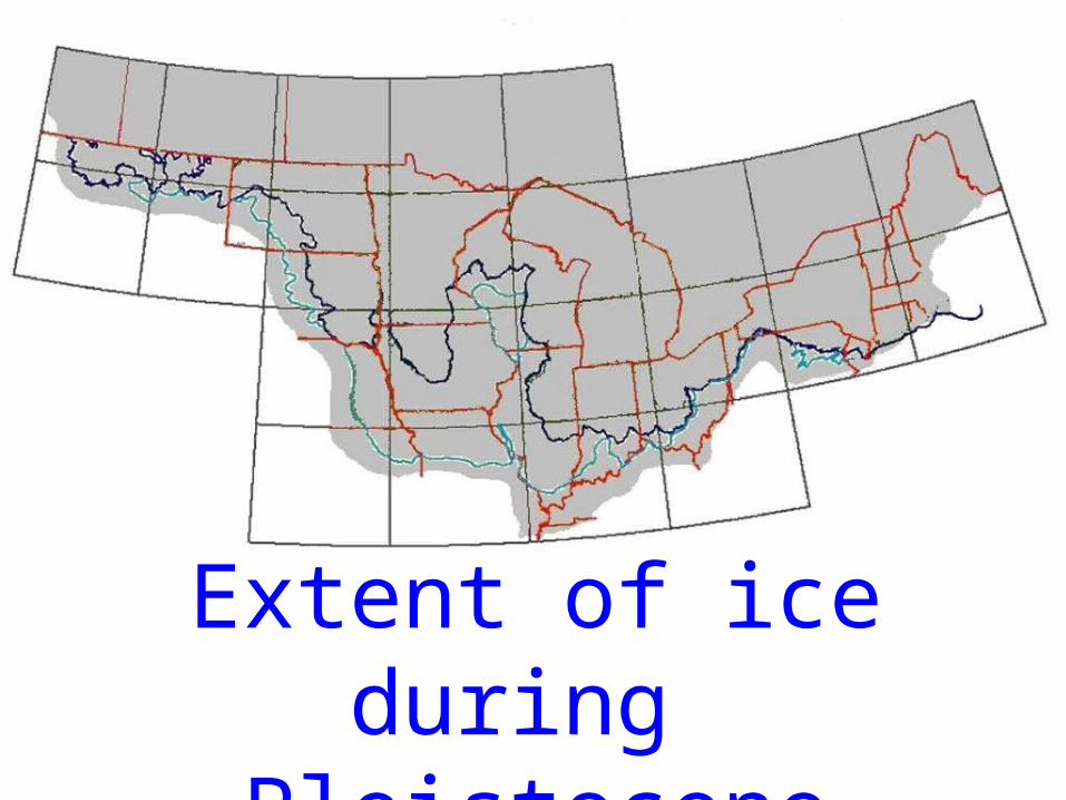
Extent of ice during Pleistocene glaciations
How thick ?

How thick
was the ice that covered Michigan
?
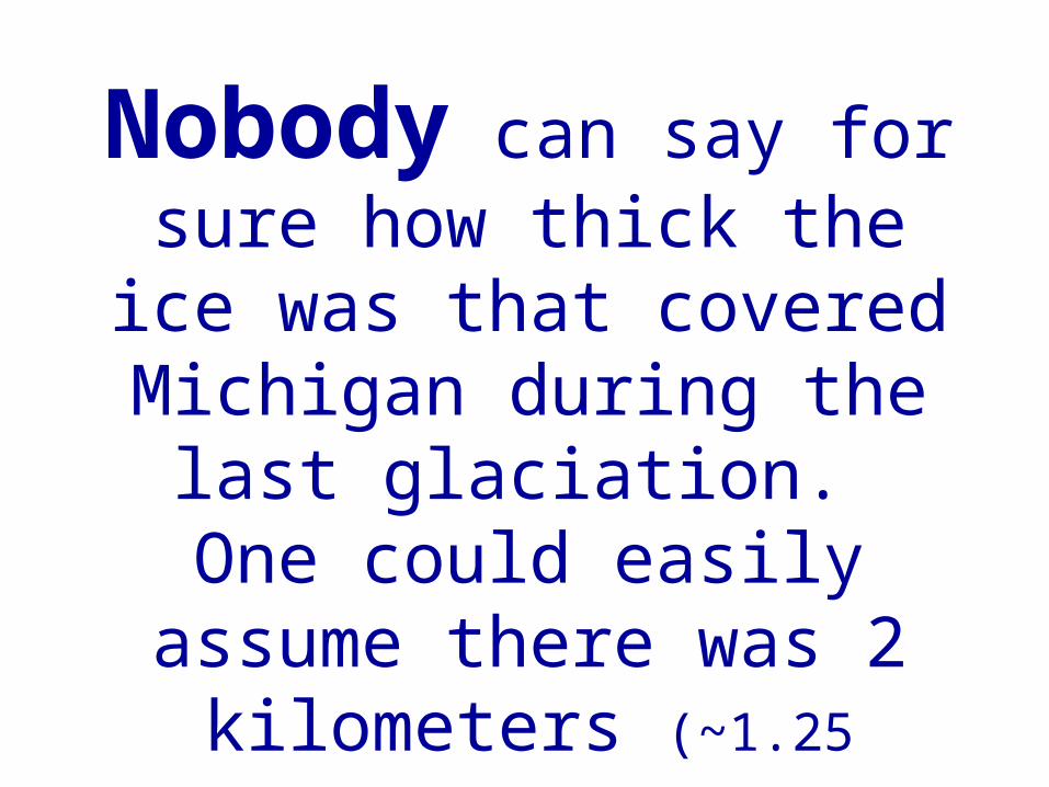
Nobody can say for sure how thick the ice
was that covered Michigan during the last glaciation. One could
easily assume there was 2 kilometers (~1.25 miles).
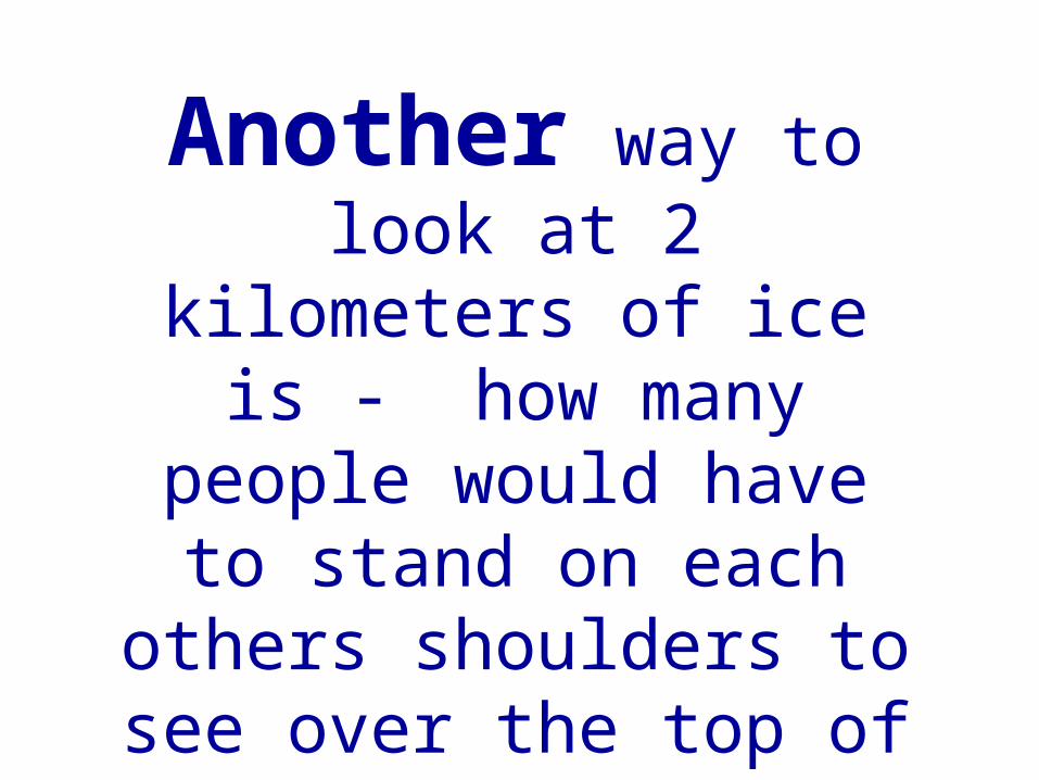
Another way to look at 2 kilometers of
ice is - how many people would have to stand on each others shoulders to see over
the top of the glacier.

How would
you figure
this out?

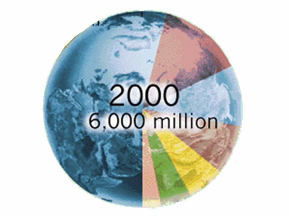
How much ?
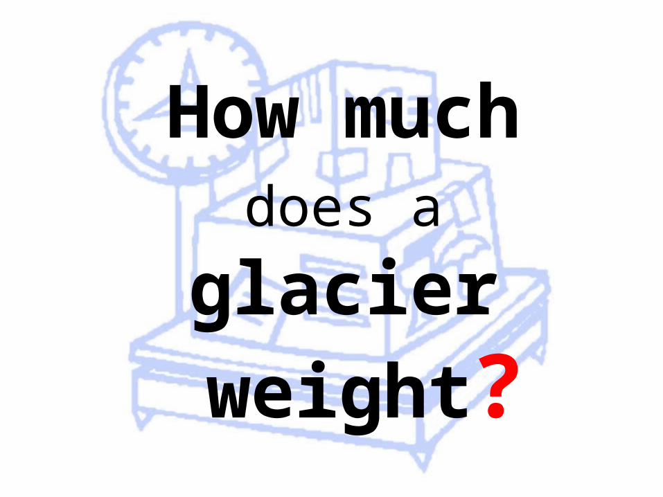
How much does a
glacier weight?

What happens when
water freezes?
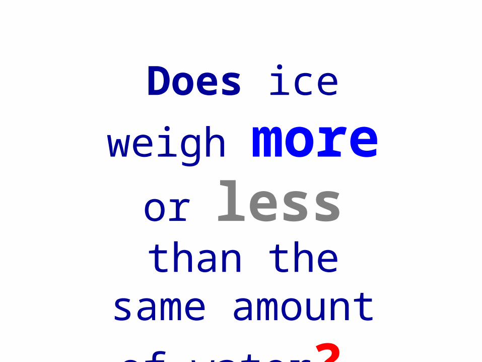
Does ice
weigh more
or less than the same amount of
water?
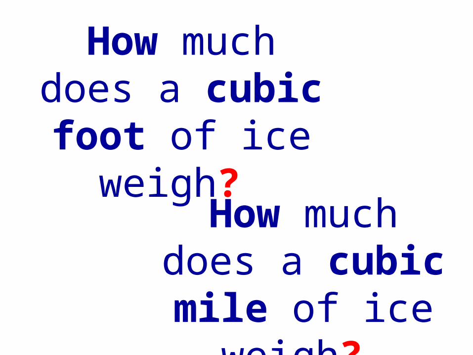
How much does a cubic foot of ice
weigh? How much
does a cubic mile of ice
weigh?
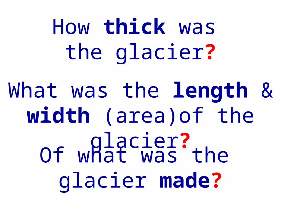
How thick was the glacier?
Of what was the glacier made?
What was the length & width (area)of the
glacier?
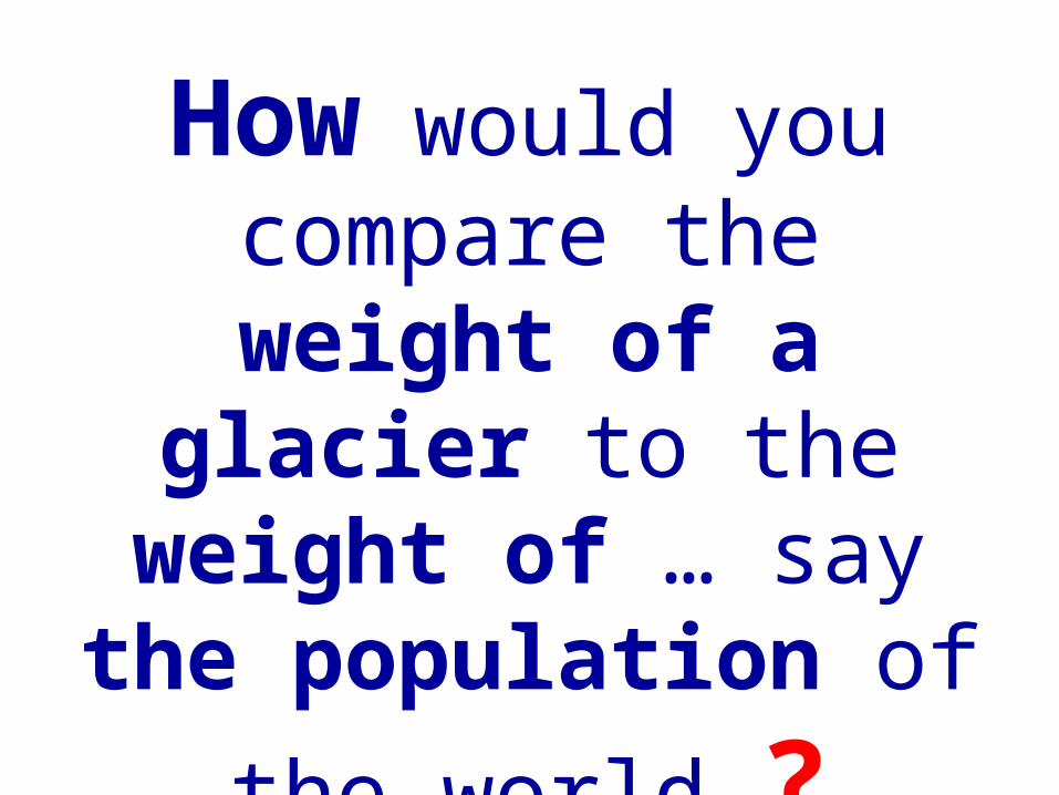
How would you compare the
weight of a glacier to the weight of … say the population
of the world ?
9797
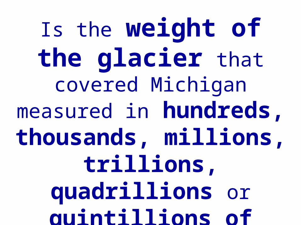
Is the weight of the glacier that covered Michigan measured in
hundreds, thousands, millions, trillions, quadrillions
or quintillions of kilograms (or pounds) ?
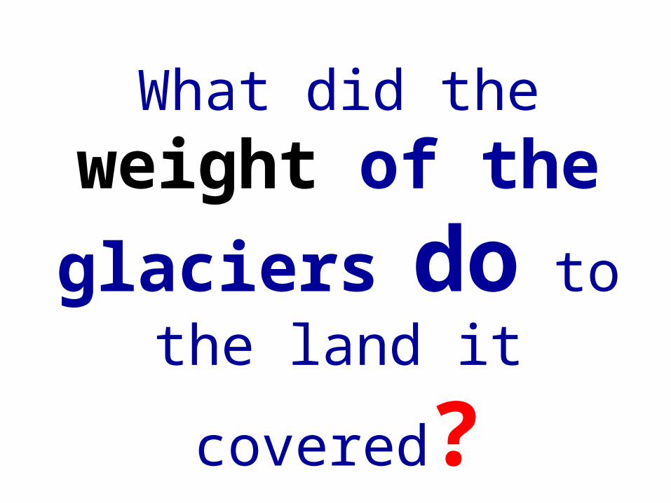
What did the weight of the
glaciers do to the land it
covered?
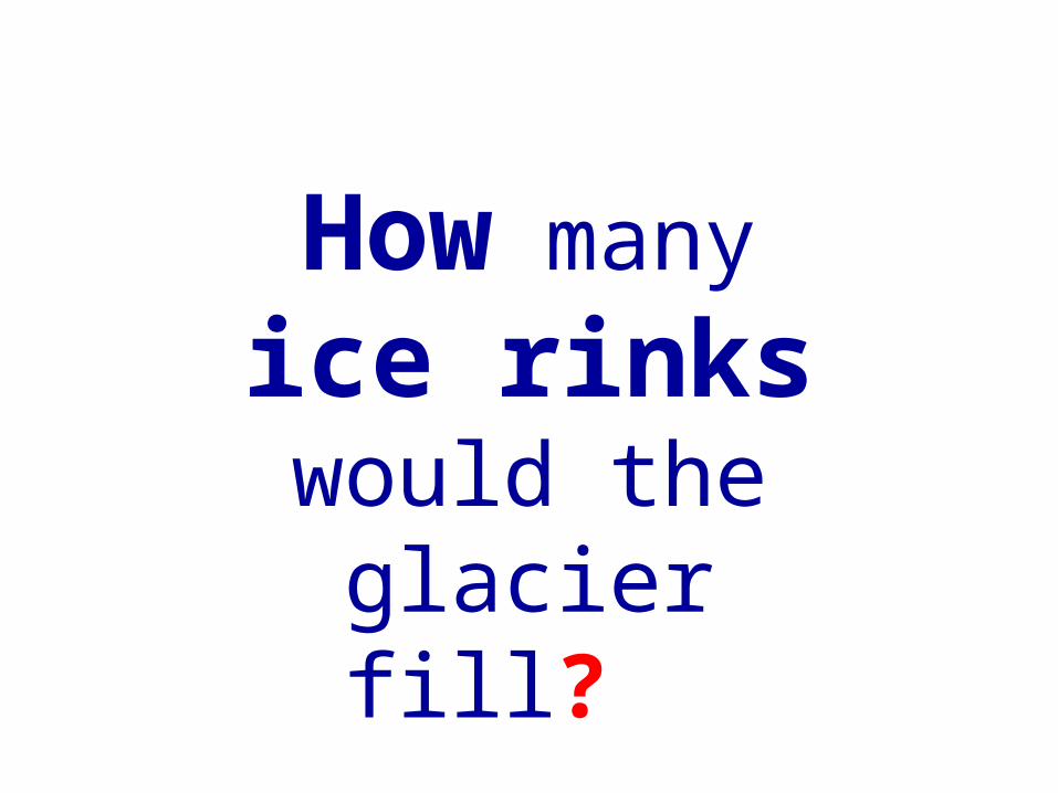
How many ice rinks would the
glacier fill?
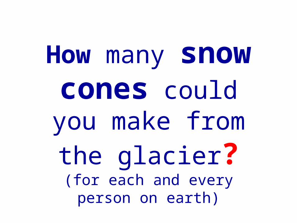
How many snow cones could you make
from the glacier? (for each and every person
on earth)

Howbig ?
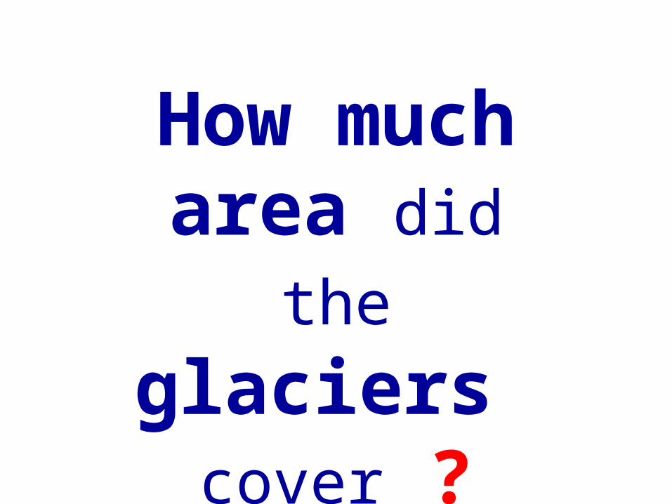
How much area did the glaciers
cover ?
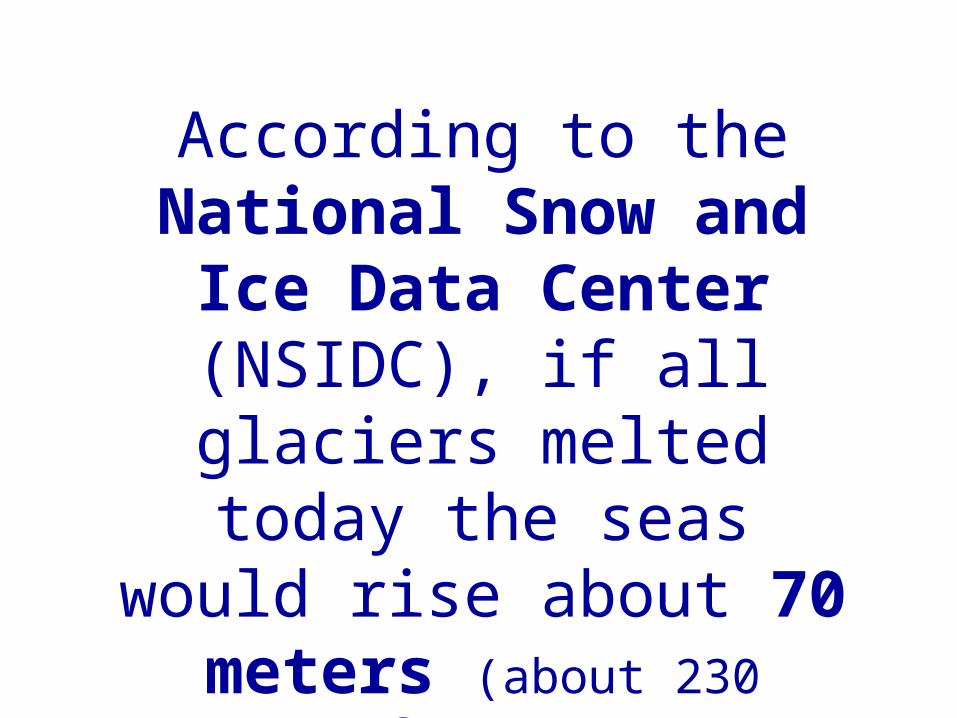
According to the National Snow and
Ice Data Center (NSIDC), if all glaciers melted today the seas would rise about 70
meters (about 230 feet).
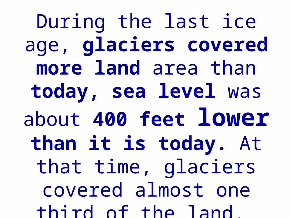
During the last ice age, glaciers covered more land area than today, sea level was about
400 feet lower than it is today. At that time, glaciers covered almost one third of the land.
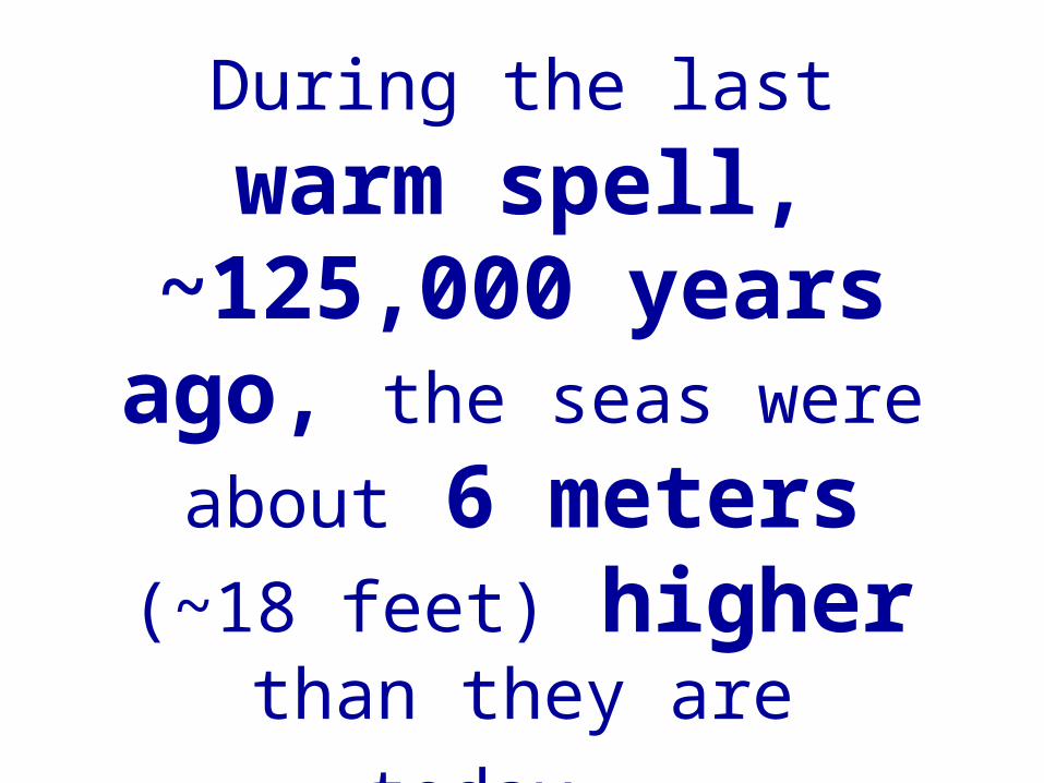
During the last warm spell, ~125,000 years ago, the
seas were about 6 meters (~18 feet)
higherthan they are today.
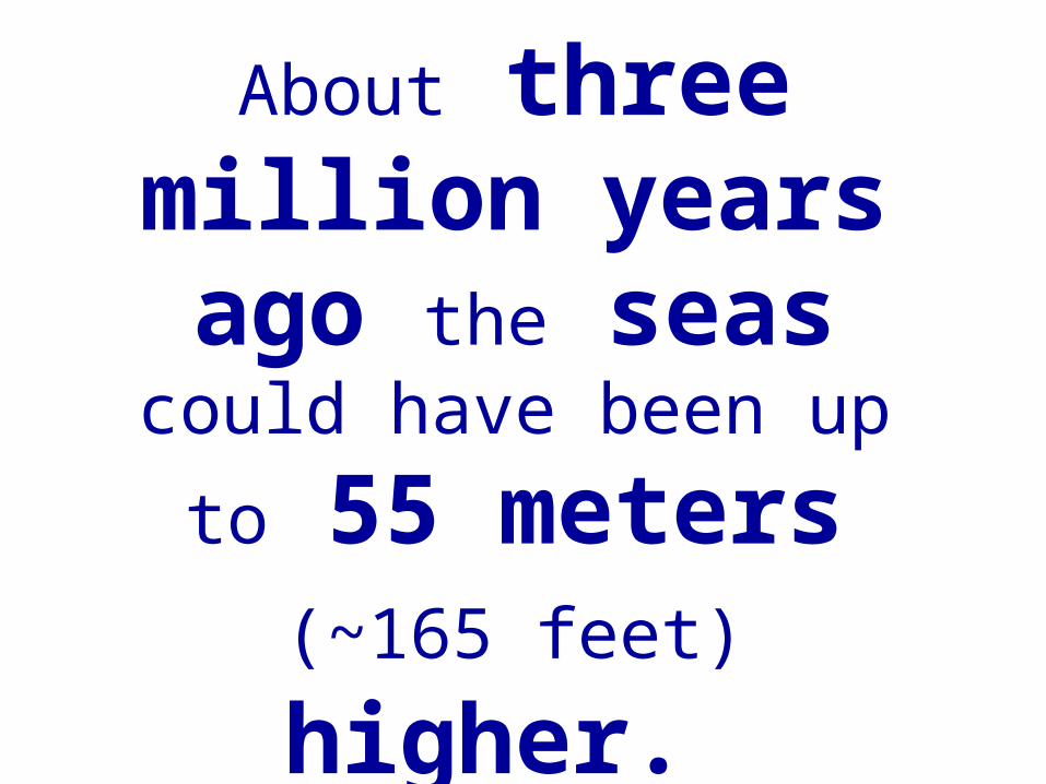
About three million years ago the seas
could have been up
to 55 meters (~165 feet) higher.
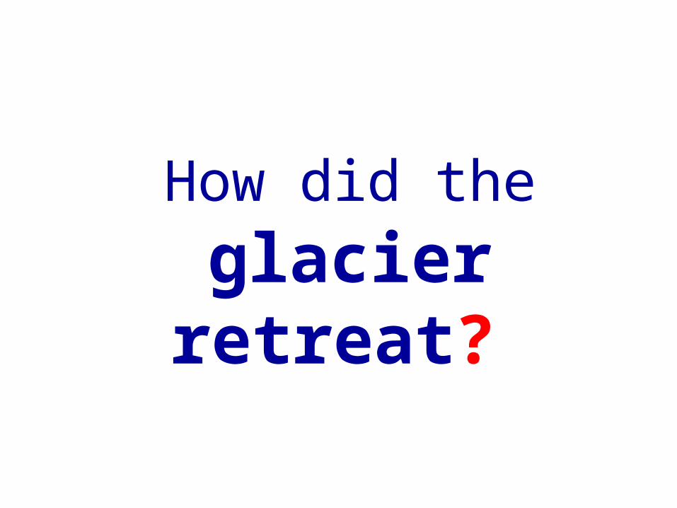
How did the glacier
retreat?
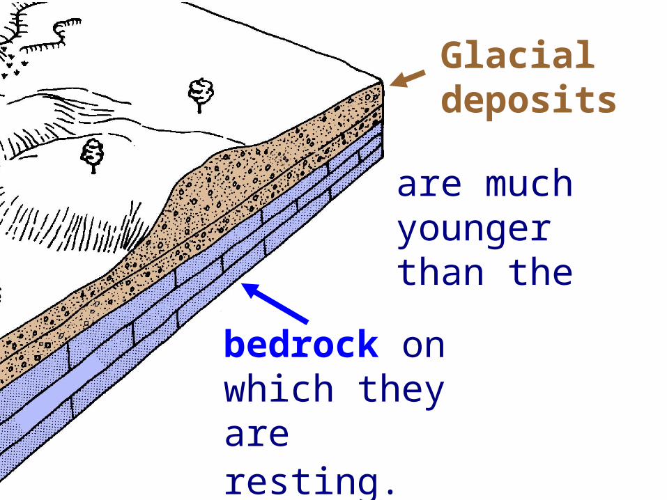
Glacial deposits
bedrock on which they are resting.
are much youngerthan the
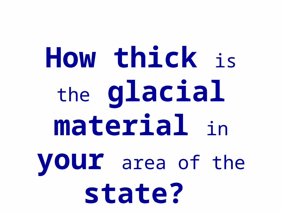
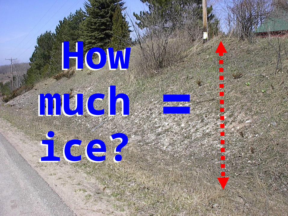
How thick is
the glacial material in
your area of the state?
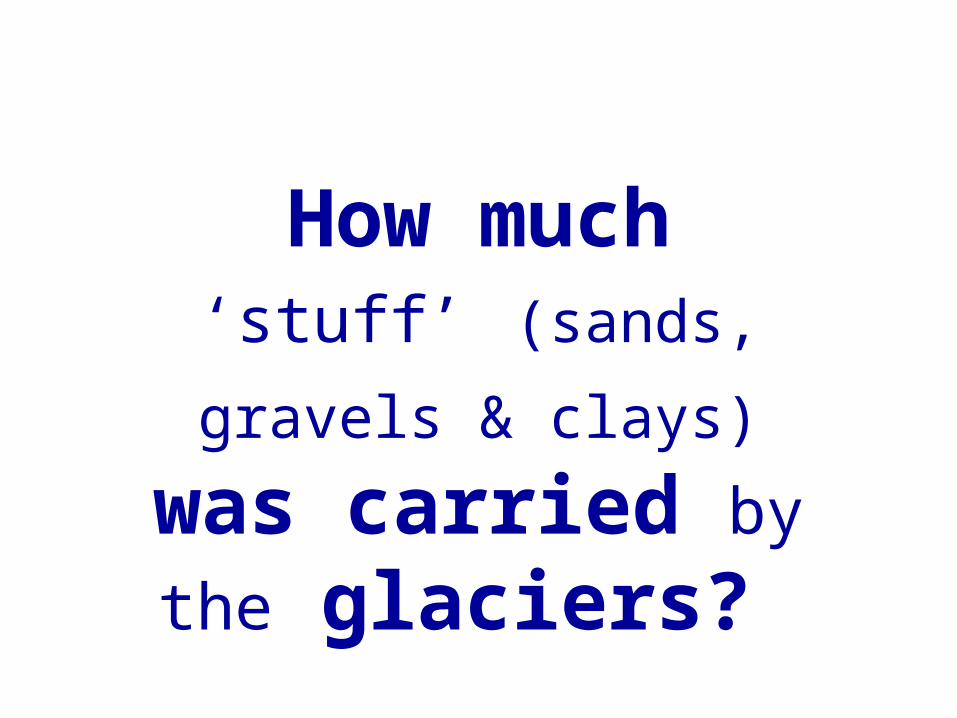
How much ‘stuff’ (sands, gravels &
clays) was carried by the glaciers?
=How
muchice?
Howmuch
ice?

How would
you find out?
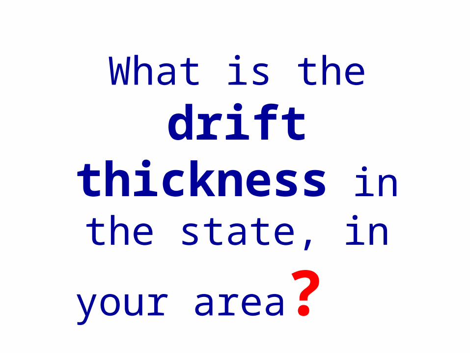
What is the drift
thickness in the state, in your
area?
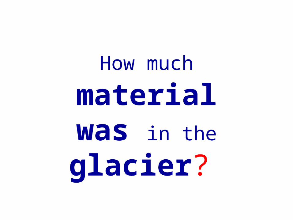
How much material was in the glacier?
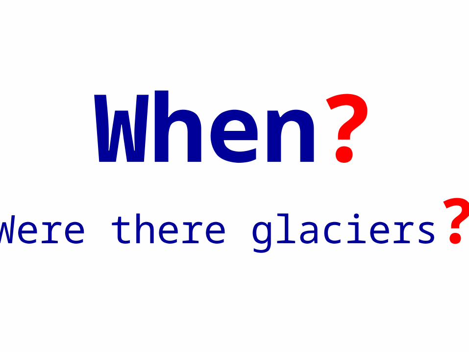
When?Were there glaciers?
Multiple glacial events are
recorded in the geologic record.
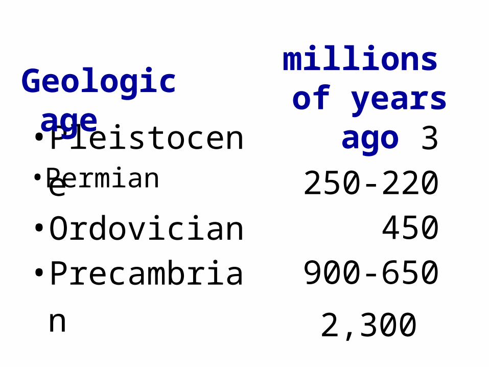
•Pleistocene 3
Geologic age
millions of years ago
•Permian 250-220•Ordovician 450•Precambrian 900-650
2,300
Which glacial period has the
most complete geologic record?
The one that
occurred during the
The most recent glaciation - Pleistoce
ne

Whystudystudy
glaciersglaciers ?
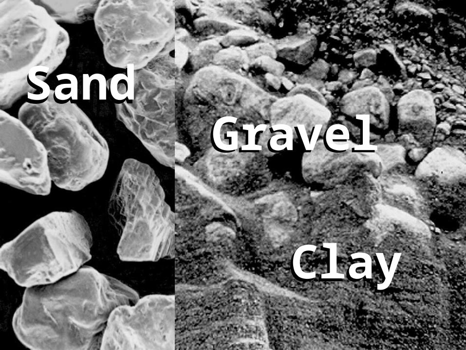
SandSand
ClayClay
GravelGravel

Value
Uses
Amount
Use
s
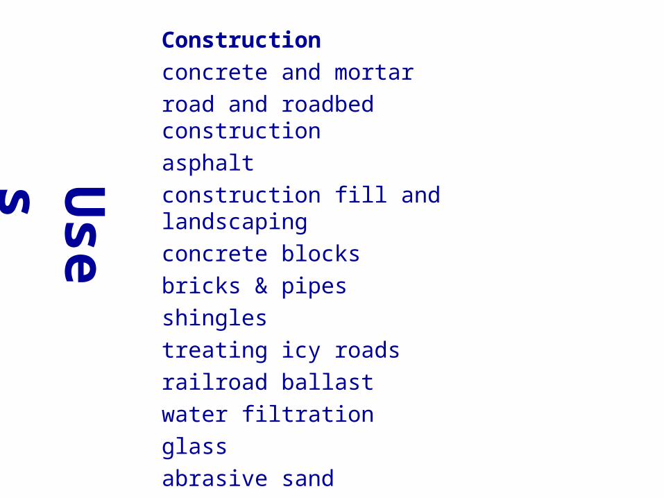
Constructionconcrete and mortar road and roadbed construction asphalt construction fill and landscaping concrete blocksbricks & pipes shingles treating icy roads railroad ballast water filtrationglass abrasive sand foundry sand (molded metal parts)
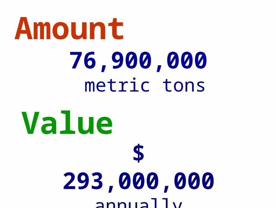
76,900,000 metric tons
Value
Amount
$ 293,000,000
annually
Lets review the geology of Michigan
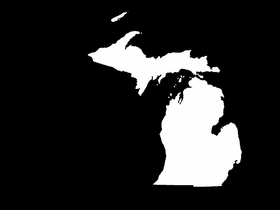
Everyone knows what the map of Michigan looks like
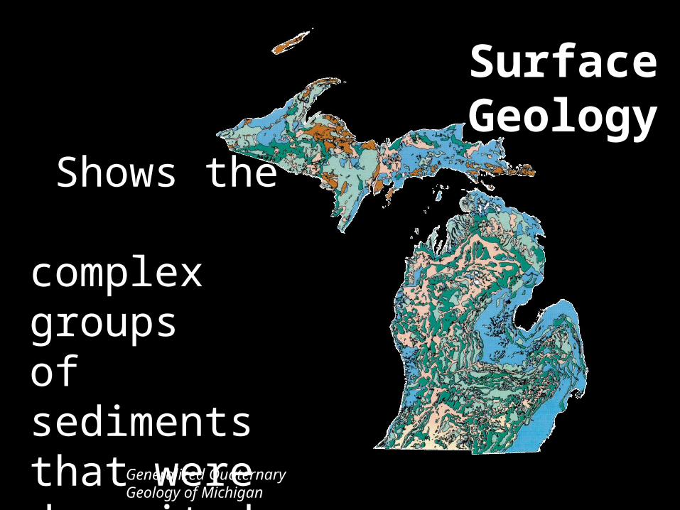
Shows the complex groupsof sediments that were deposited by the glaciers.Generalized
Quaternary Geology of Michigan
Surface Geology

What you would find under all of the glacial material at the surface
Bedrock
Geology
Generalized Bedrock Geology
of Michigan
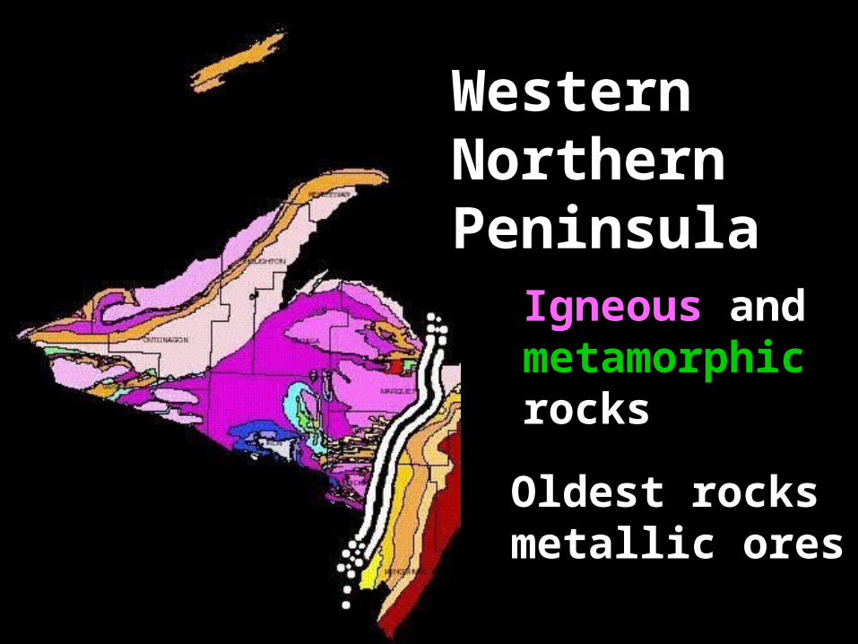
Western Northern Peninsula
Oldest rocksmetallic ores
Igneous and metamorphic rocks
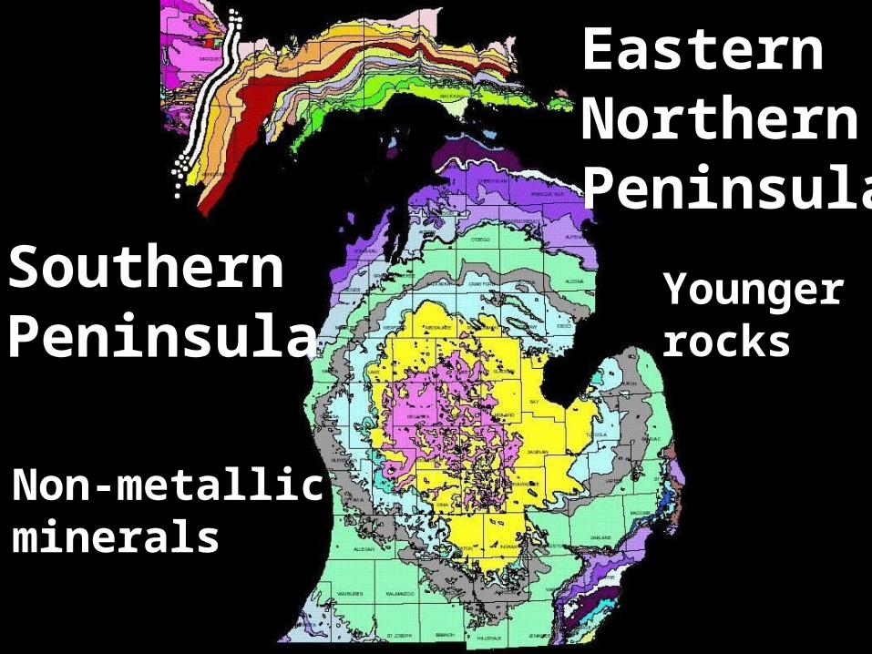
Eastern Northern Peninsula
Southern Peninsula
Non-metallic minerals
Younger rocks
Glaciallandform
sin
Michigan

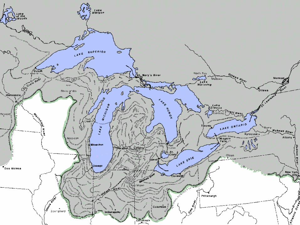
The MOST recognized feature of Michigan is the GREAT LAKES
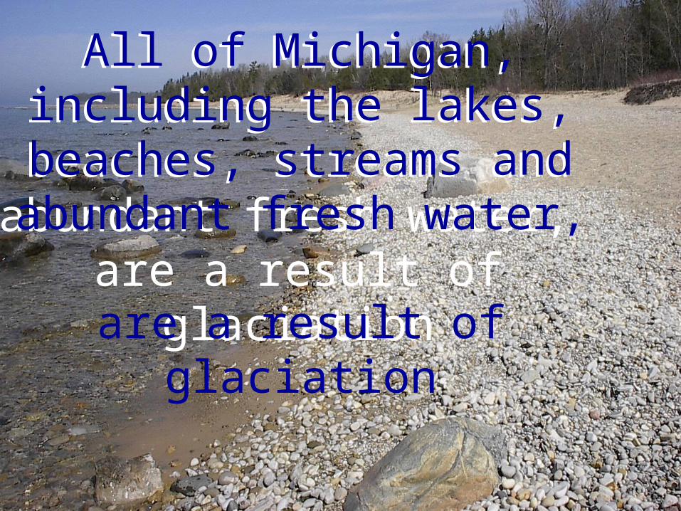
All of Michigan, including the lakes, beaches,
streams and abundant fresh water,
are a result of glaciation
All of Michigan, including the lakes, beaches,
streams and abundant fresh water,
are a result of glaciation
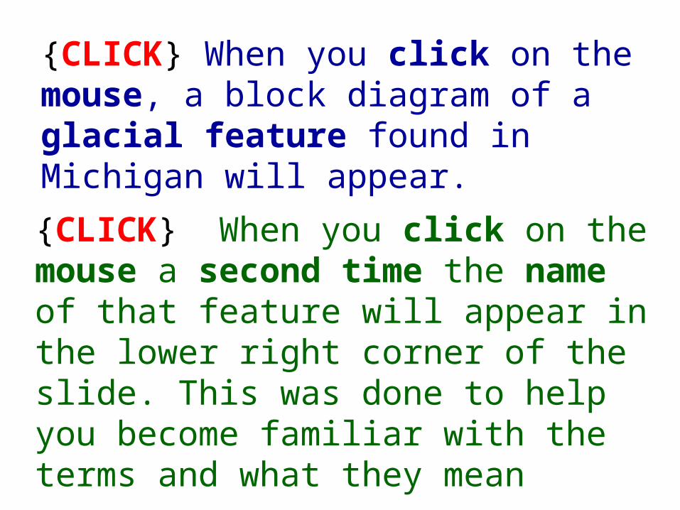
{CLICK} When you click on the mouse, a block diagram of a glacial feature found in Michigan will appear.
{CLICK} When you click on the mouse a second time the name of that feature will appear in the lower right corner of the slide. This was done to help you become familiar with the terms and what they mean
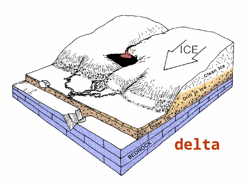
delta
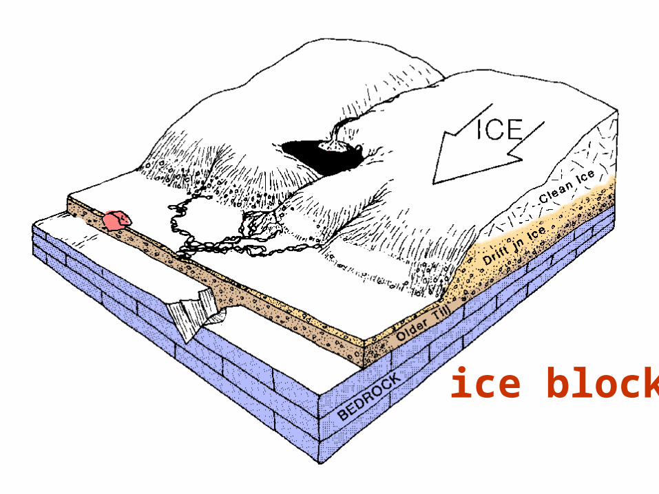
ice block

bedrock valley
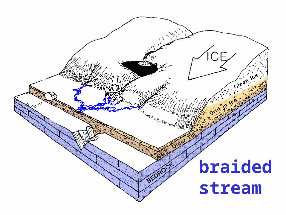
braided stream
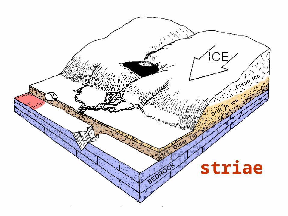
striae
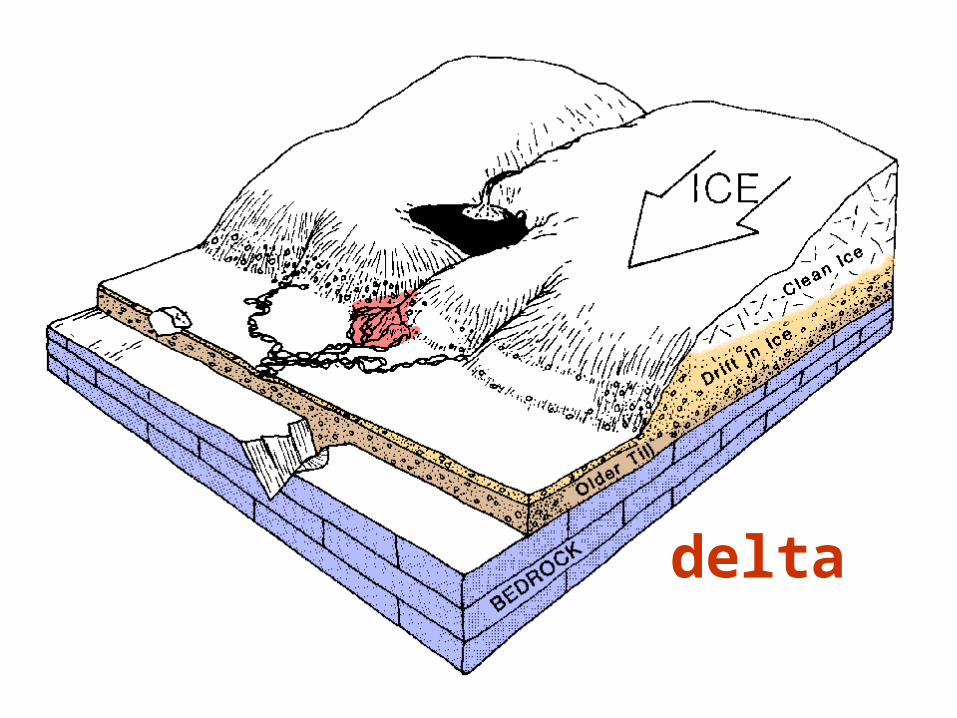
delta

glacial pavement
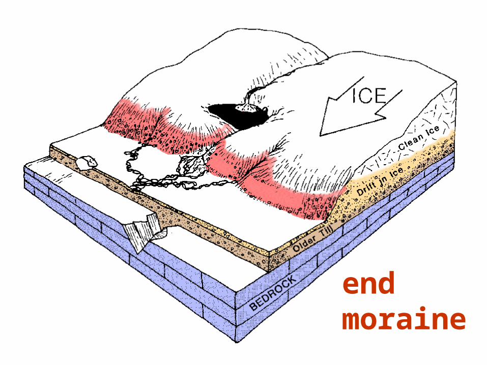
end moraine
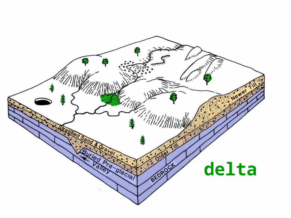
delta
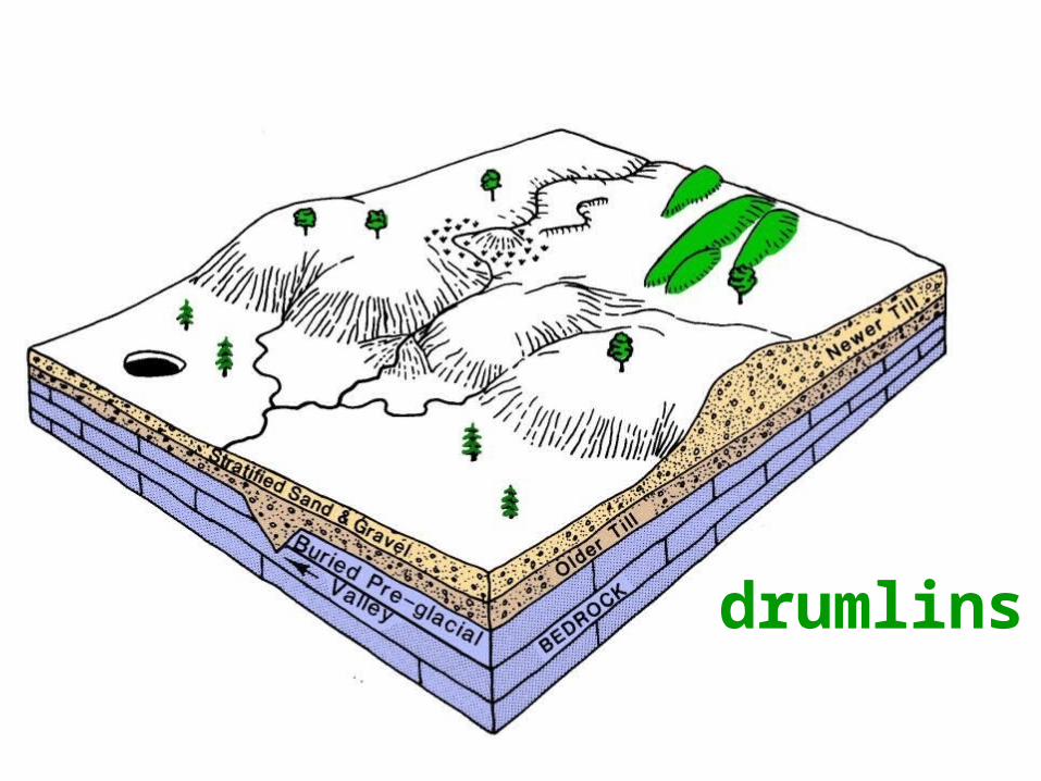
drumlins
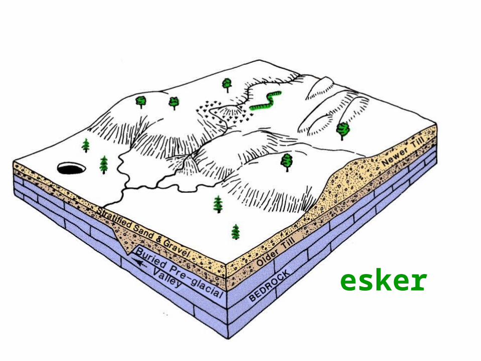
esker
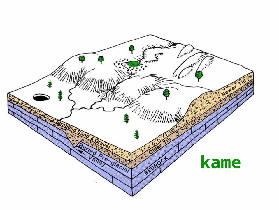
kame
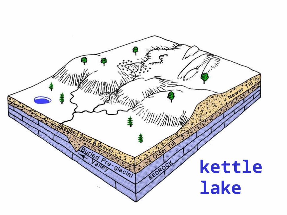
kettlelake
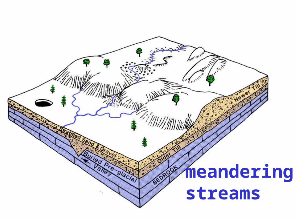
meandering streams
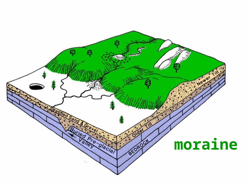
moraine
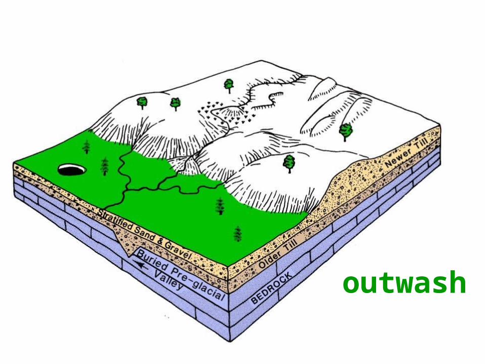
outwash
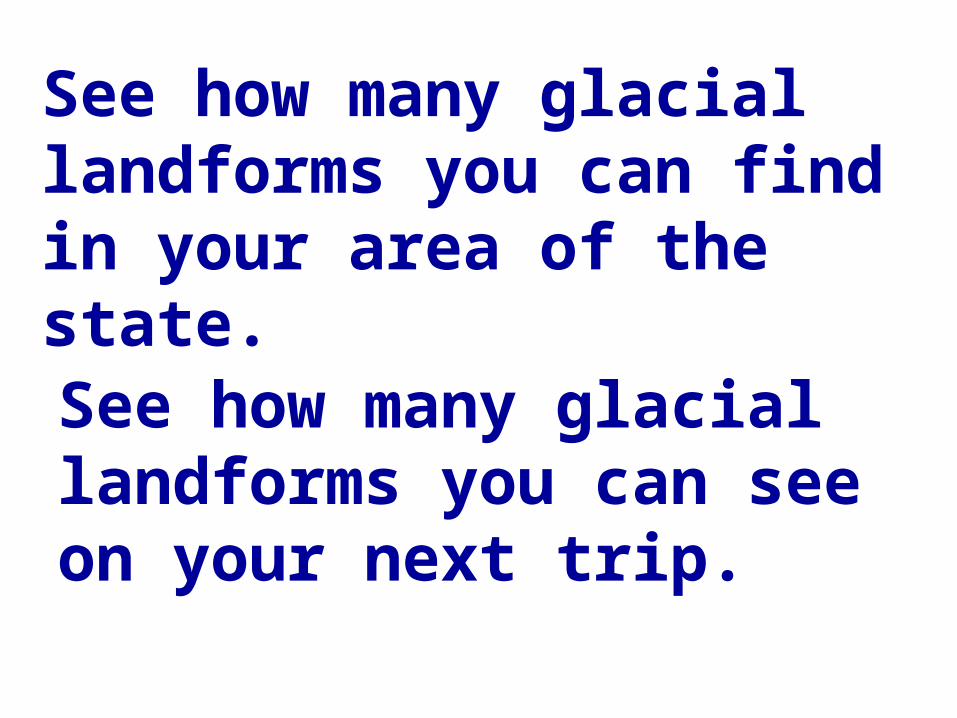
See how many glacial landforms you can find in your area of the state.See how many glacial landforms you can see on your next trip.
ThankYou !ThankYou !

?questions
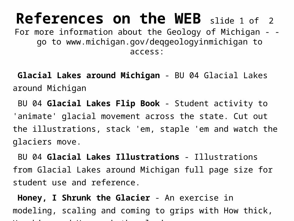
References on the WEB slide 1 of 2 For more information about the Geology of Michigan - - go to
www.michigan.gov/deqgeologyinmichigan to access:
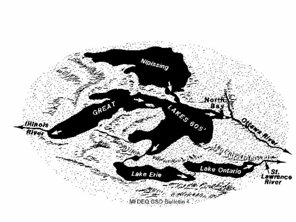
Glacial Lakes around Michigan - BU 04 Glacial Lakes around Michigan
BU 04 Glacial Lakes Flip Book - Student activity to 'animate' glacial
movement across the state. Cut out the illustrations, stack 'em, staple 'em
and watch the glaciers move.
BU 04 Glacial Lakes Illustrations - Illustrations from Glacial Lakes
around Michigan full page size for student use and reference.
Honey, I Shrunk the Glacier - An exercise in modeling, scaling and
coming to grips with How thick, How big, and How much the glaciers
were.
How thick, How big, How much - You can printout and use the sheets
as is or have the students discover or modify them to suit their interests.
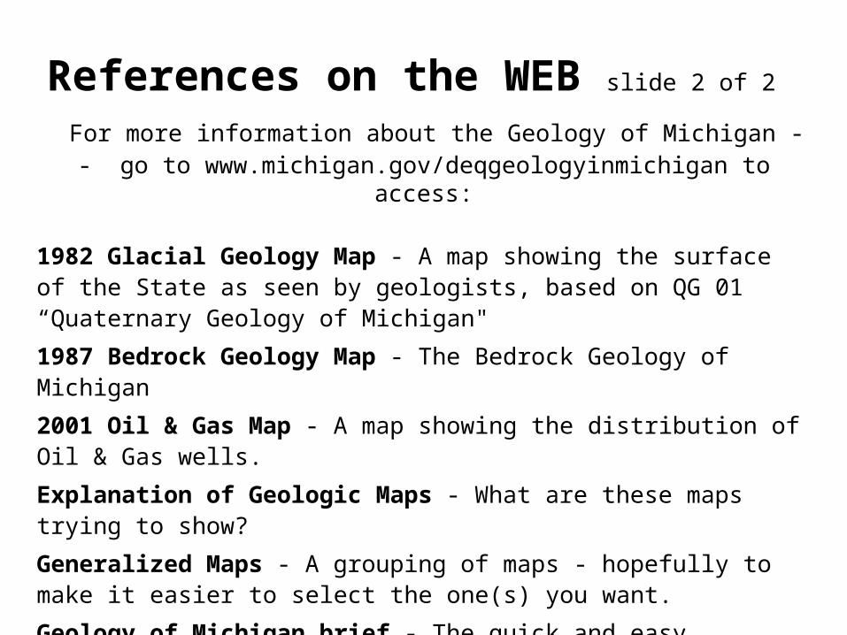
References on the WEB slide 2 of 2 For more information about the Geology of Michigan - - go to
www.michigan.gov/deqgeologyinmichigan to access:
1982 Glacial Geology Map - A map showing the surface of the State as seen by geologists, based on QG 01 “Quaternary Geology of Michigan"
1987 Bedrock Geology Map - The Bedrock Geology of Michigan
2001 Oil & Gas Map - A map showing the distribution of Oil & Gas wells.
Explanation of Geologic Maps - What are these maps trying to show?
Generalized Maps - A grouping of maps - hopefully to make it easier to select the one(s) you want.
Geology of Michigan brief - The quick and easy explanation of the geologic history of our State. Good for general audiences
Geology of Michigan - The geology of the state in more detail. Good for more advanced audiences.
References Michigan Geological Survey
the following were used in preparing this presentation
BG 01 BEDROCK GEOLOGY OF MICHIGAN", 1987; Wilson, S. E.
BU 04-R THE GLACIAL LAKES AROUND MICHIGAN: 1988; Farrand, W. R.
QG 01 QUATERNARY GEOLOGY OF MICHIGAN"; 1982; Farrand, W. R.
References U.S. Geological Survey U.S. Geological Survey Minerals Yearbook: The Mineral Industry of MichiganU.S. Geological Survey Digital Data Series DDS-38 - Digital Map Showing the Thickness and Character of Quaternary Sediments in the Glaciated United States East of the Rocky Mountains


![Global_Begin_WB_-_Print_and_Work_(with_key) [shrunk].pdf](https://static.fdocuments.net/doc/165x107/577c7a721a28abe054953711/globalbeginwb-printandworkwithkey-shrunkpdf.jpg)


