Dave Bloom Museum of Vertebrate Zoology University of California, Berkeley
Upload
rolando-sladerCategory
view
219download
0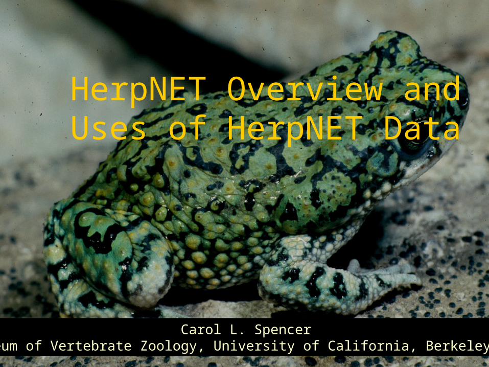
HerpNET Overview and Uses of HerpNET Data
Carol L. SpencerMuseum of Vertebrate Zoology, University of California, Berkeley, CA

The main purpose of HerpNET is to make museum collections data available on-line for use in museum, conservation and phylogenetic research and to retrospectively assign coordinates to collection localities using consistent and repeatable methods. HerpNET data include more than 4 million specimen records that are being georeferenced to over 750,000 unique collecting localities.
What are HerpNET data?

Institutions in HerpNET 53 total, 46 North American (NSF funded), 7 international Nine funded by GBIF in red: AMS, BPBM, CIB, MHNG, MVZ, RM, RMCA, SMNS, ZIN.

What data are available on the HerpNET portal & website?
Portal is available for searching data at http://129.237.201.172/index.jsp
Currently 25 institutions are available on portal(BPBM, CAS*,CUMV, FMNH, INHS, KU, LACM, LSU, MCZ, MHP, MSU, MVZ, PSM, ROM, SBNHM, SDNHM, TCWC,THNC, UAM, UCM, UMBM, UNAM,UNSM, UTA, UTEP)
Servers exist at each institution & are updated on-site & new portals will be added
~12 servers will be added to the portal by late 2006, with all 53 institutions available online by Fall ‘07

Current state of georeferencing: Information communicated through
HerpNET Listserv http://herpnet.org/communication.html
Data available now on portal are mostly those that were georeferenced previous to HerpNET
Georeferencing by HerpNET-NSF participants is finished for 16% of all localities
All of North America will be complete by Sept. 2007
Data are sent back to collections for integration into server databases after verification

Completed Georeferencing for North American Institutions: 16% of all unique localities completed

New Features to HerpNET: Easier searches on the HerpNET portal More access to HerpNET point data from AmphibiaWeb
including maps Global Amphibian Assessment maps (polygons – created
from expert opinion) shown with point data Ability to search on synonymous taxonomy on both
HerpNET and AmphibiaWeb

What You Can Do With These Data: Mapping point localities
Make point distributions of species by documenting where they are present
Background map, errors around localities, labels by museum or specimen number can be changed using the interactive mapping interface (Berkeley Mapper)
Options for sending annotated error comments being implemented.

Verification Functions:
Verifying current museum specimen data
Identifying errors due to georeferencing, specimen identification, or written locality information

Verification Functions: Identifying gross
georeferencing errors or specimens falling outside the administrative boundaries (e.g. counties in California)
Verifying current museum specimen data by mapping it on climate data to determine environmental outliers (using DIVA-GIS)

Predicting locations of possible new species or speciation mechanisms:
Predicting species distributions and ascertaining where new species may be found
Madagascar chameleons (Nussbaum et al., 2003)
Dendrobatid frog speciation mechanisms (Graham et al., 2004)
Burmese Bufo species showing areas of high endemicity where new field work should be done (ground truthing)

Predicting Biodiversity Hotspots:
Collecting by
CAS in Myanmar predicts new areas where high species diversity for both tropical highland and xeric habitats

Predicting distributions using past climates:
Mapping distributions onto past climates e.g. Crotaphytus distributions
Are distributions parapatric because of competitive exclusion or due to past glacial maxima causing separate refugium?
Crotaphytus
reticulatusvestigium
bicinctores
collaris
nebrius
antiquus

Predicting distributions using past climates:
• Hypothesis: Glacial maxima should have strongly affected the distributions of Crotaphytus species, driving northern populations extinct, leaving southern refugia (consistent with the genetic data)
• Results from bioclimatic modeling are consistent with this hypothesis
Current
C. collaris
C. bicinctores
C. reticulatus
21,000 ybp

How to do the mapping and predictive modeling yourself:
Download data from HerpNET portal & add your own data
Use automated georeferencing tools and follow standard methods (GeoLocate, Biogeomancer, HerpNET/MaNIS Guidelines)
Use Mapping Function on HerpNET portal to view specimen data that has already been georeferenced
Use DIVA-GIS (free) for BioClim & Domain modeling
Links to other modeling programs available at HerpNET GIS resources web page e.g. MaxENT, GARP, GRASP

Benefits of using museum data
Importance of voucher specimens for re-checking identifications
Identifying hybrid zones Tissues plus voucher specimen used to
identify new species (e.g. 19 new species of Batrachoseps since 1985)
Can access species changes over time (genetics, morphology, diet, distributions, disease vectors, pesticide residues,etc)

“At this point I wish to emphasize what I believe will ultimately prove to be the greatest purpose of our museum. This value will not, however, be realized until the lapse of many years, possibly a century, assuming that our material is safely preserved. And this is that the student of the future will have access to the original record of faunal conditions in California and the west, where ever we now work.”
Joseph Grinnell, 1910Founding Director, Museum of Vertebrate Zoology, University of California, Berkeley

Acknowledgments
NSF and GBIF for funding University of Kansas Museum of Vertebrate Zoology,
University of California,Berkeley Michelle Koo for use of
Myanmar MaxEnt models Jim McGuire for use of
Crotaphytus data & figures Robert Hijmans for use of MVZ
verification figures CAS, Cal Photos, Michelle Koo,
Joyce Gross, David Wake, Jim McGuire, and Henk Wallacy for photographs & maps.