Glendale Water and Power Electrical GIS Implementation€¦ · Glendale Water & Power Electrical...
13
Glendale Water & Power Electrical GIS Implementation – EGUG, October 2011 Glendale Water and Power Glendale Water and Power Electrical GIS Implementation Electrical GIS Implementation By & Nagarajan Murali, PMP Practice Head – Utilities Vishwa Tiwari, M.S.S.E. Project Manager
Transcript of Glendale Water and Power Electrical GIS Implementation€¦ · Glendale Water & Power Electrical...
Glendale Water & Power Electrical GIS Implementation – EGUG, October 2011
Glendale Water and PowerGlendale Water and PowerElectrical GIS ImplementationElectrical GIS Implementation
By
&Nagarajan Murali, PMPPractice Head – Utilities
Vishwa Tiwari, M.S.S.E.Project Manager

Glendale Water & Power Electrical GIS Implementation – EGUG, October 2011
• Municipal Utility that serves the citizens and community of Glendale, California (35,000 water and 88,000 electric customers)
• Owned by the City of Glendale and governed by the Glendale City Council
• Member of Southern California Public Power Authority (SCPPA)
• Electrical System • 12 distribution substations• 240 miles of UG distribution lines• 251 miles of OH distribution lines• 3 wire 12.47kV system
• Upgraded 88,000 electric meters with Smart Meters – a first step to Smart Grid
Glendale Water & Power Electrical GIS Implementation – EGUG, October 2011
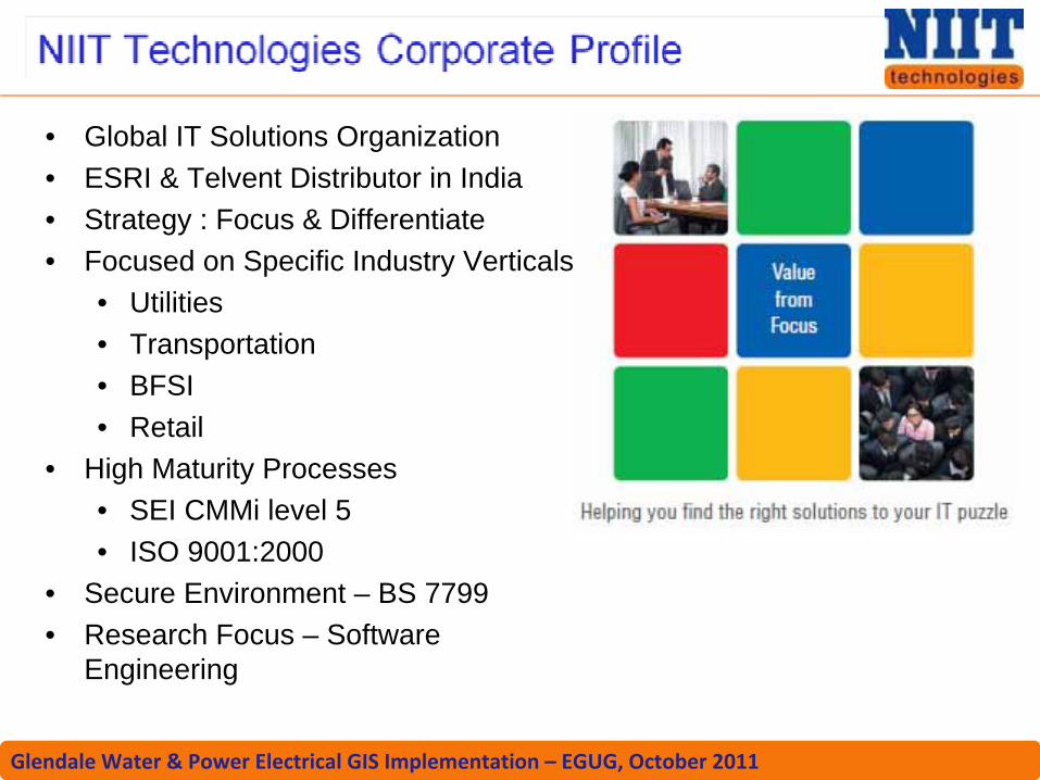
• Global IT Solutions Organization• ESRI & Telvent Distributor in India • Strategy : Focus & Differentiate• Focused on Specific Industry Verticals
• Utilities• Transportation• BFSI• Retail
• High Maturity Processes• SEI CMMi level 5• ISO 9001:2000
• Secure Environment – BS 7799• Research Focus – Software
Engineering

Glendale Water & Power Electrical GIS Implementation – EGUG, October 2011
• Convert AutoCAD data to GIS• Easements• Communications Network• Electric Network
• Implement EngHouse NetWorks• Implement ArcFM Electric
• MultiSpeak Data Model• Conduit Manager• Designer• Session Manager & Workflow
Manager• Create fields for FileNet linking• Create GWP Electric specific
symbols• Create Map Templates (Map Books)
Glendale Water & Power Electrical GIS Implementation – EGUG, October 2011
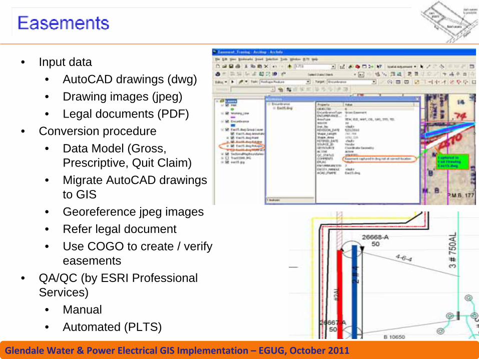
• Input data• AutoCAD drawings (dwg)• Drawing images (jpeg)• Legal documents (PDF)
• Conversion procedure• Data Model (Gross,
Prescriptive, Quit Claim)• Migrate AutoCAD drawings
to GIS• Georeference jpeg images• Refer legal document• Use COGO to create / verify
easements• QA/QC (by ESRI Professional
Services)• Manual• Automated (PLTS)

Glendale Water & Power Electrical GIS Implementation – EGUG, October 2011
• Data Model (Excel based)• Manual tasks
• Splice information• ISP facilities connection
mapping and configuration
• Tube color information - currently in excel sheet
• Overhead / underground network creation
• Uses Electrical assets• Tropos radio location marking

Glendale Water & Power Electrical GIS Implementation – EGUG, October 2011
• Input Source• AutoCAD drawings• SQL Server data
• Data Model creation• Converting AutoCAD data
• Rulebase Document• Connectivity Cleanup
• QA / QC• ArcFM Configuration
(Feeder Manager, Model Names, Auto Updaters)

Glendale Water & Power Electrical GIS Implementation – EGUG, October 2011
• Conduit configuration• Vault details (Excel
sheet), different vault size• UFM configuration
Glendale Water & Power Electrical GIS Implementation – EGUG, October 2011
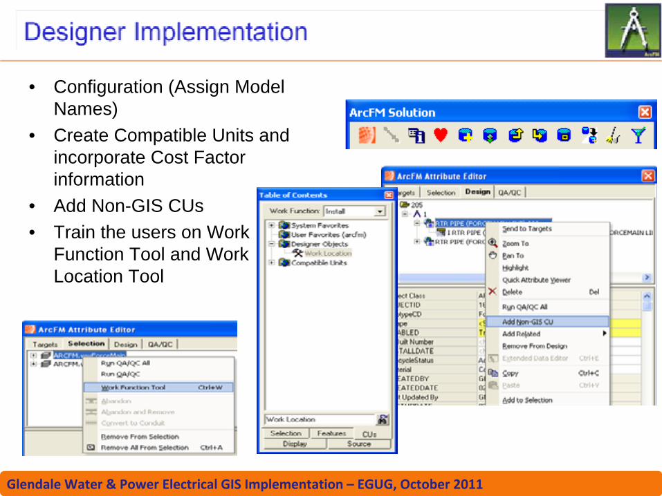
• Configuration (Assign Model Names)
• Create Compatible Units and incorporate Cost Factor information
• Add Non-GIS CUs• Train the users on Work
Function Tool and Work Location Tool

Glendale Water & Power Electrical GIS Implementation – EGUG, October 2011
• Define workflow process for GWP Mapping and Records
• Users and Roles creation tailored to GWP business needs
• Assign privileges• Updating final Electric GIS
database

Glendale Water & Power Electrical GIS Implementation – EGUG, October 2011
• Varieties of map drawings• Multiple Map
Templates• ArcFM Map Book
Configuration (Model Names)
• GWP specific symbols (EUDCEDIT)
• Annotation Feature Classes for labeling
A
Glendale Water & Power Electrical GIS Implementation – EGUG, October 2011

Glendale Water & Power Electrical GIS Implementation – EGUG, October 2011
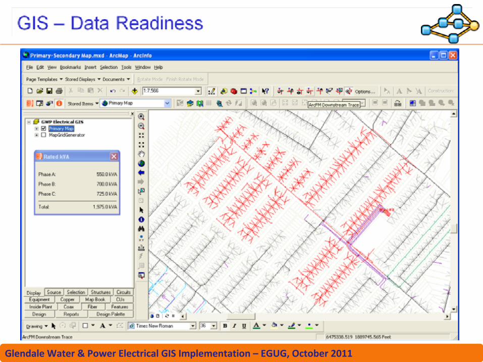
• Electric GIS Implementation is the first major step to Smart Grid
GWPGIS
ArcGISArcFM SolutionArcFM DesignerConduit ManagerNetWORKS
ITRONMDMS
HarrisBilling
ACSSCADA
DistributionAutomation
Controls
DistMS
OMS
City GIS
FileNetDocMS
ArcGISAzteca Cityworks