


GIS: The Futures So Bright, I Gotta Wear Shades
62
The Future of GIS: Gotta Wear Shades James Fee @cageyjames
-
Upload
james-fee -
Category
Technology
-
view
196 -
download
1
Transcript of GIS: The Futures So Bright, I Gotta Wear Shades

The Future of
GIS: Gotta
Wear Shades
James Fee
@cageyjames


History of GIS
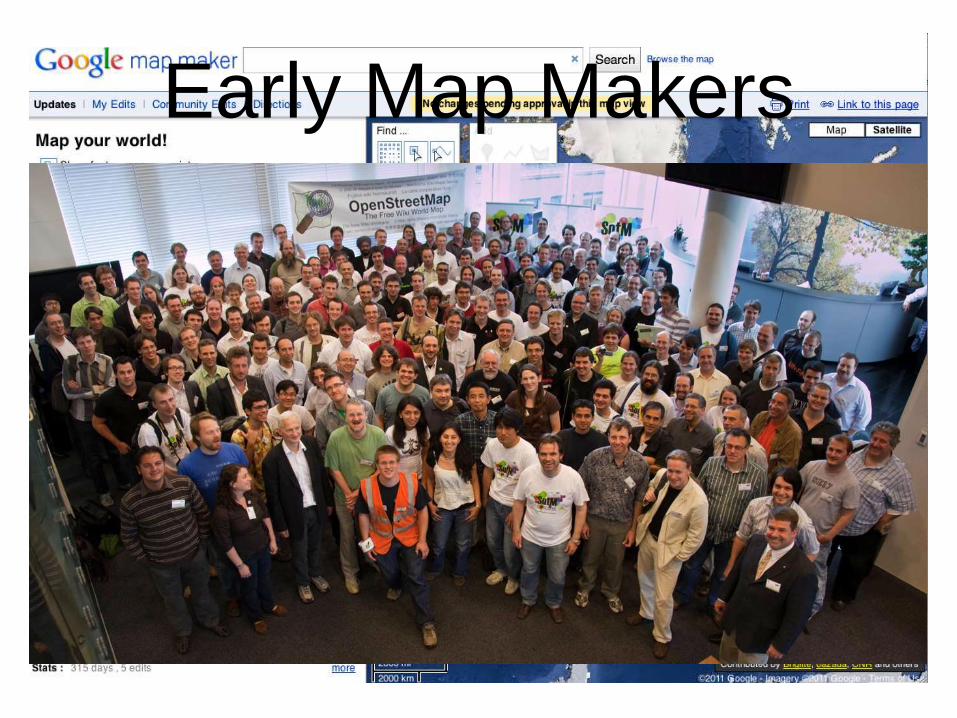
Early Map Makers

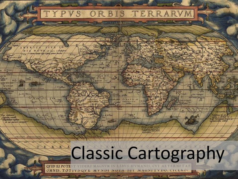
Classic Cartography

Not Much Happens for 300 Years
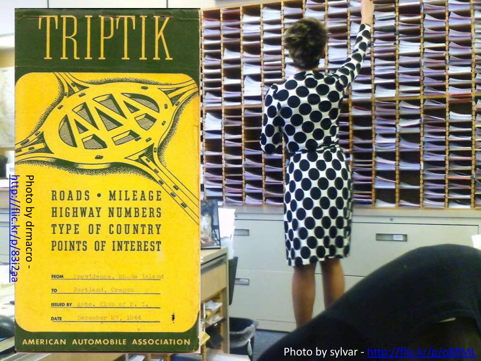
Photo by sylvar - http://flic.kr/p/o8EML
Ph
oto
by d
rmacro
-h
ttp://flic.kr/p
/83
i2aa

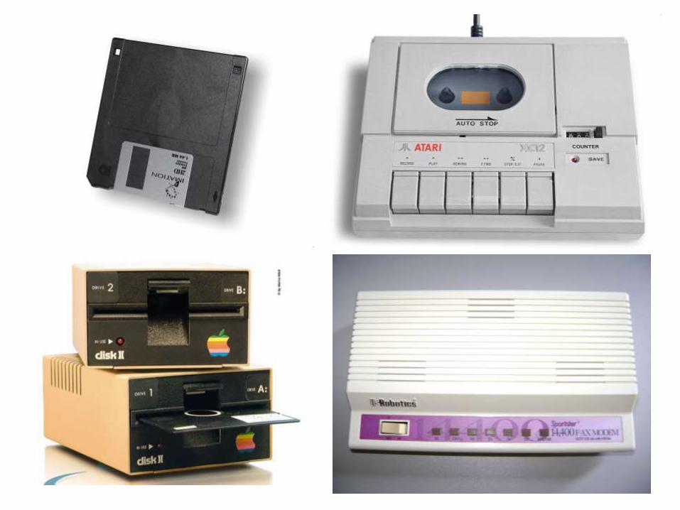
Computer Science

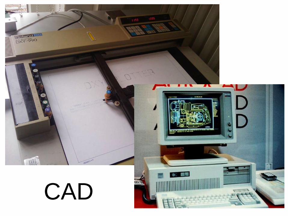
CAD

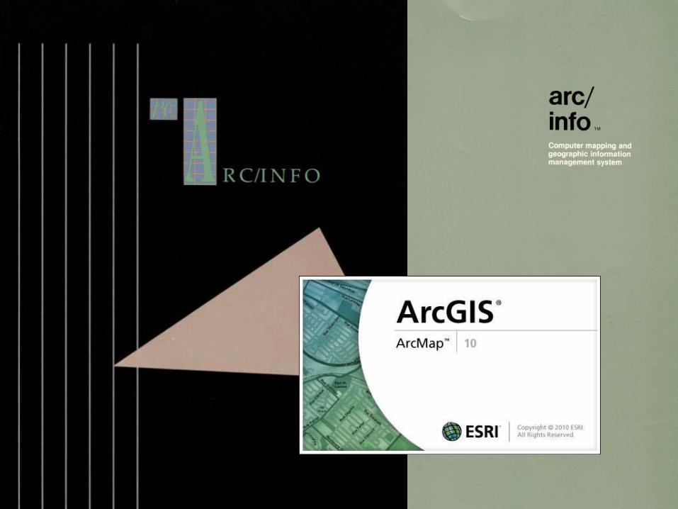
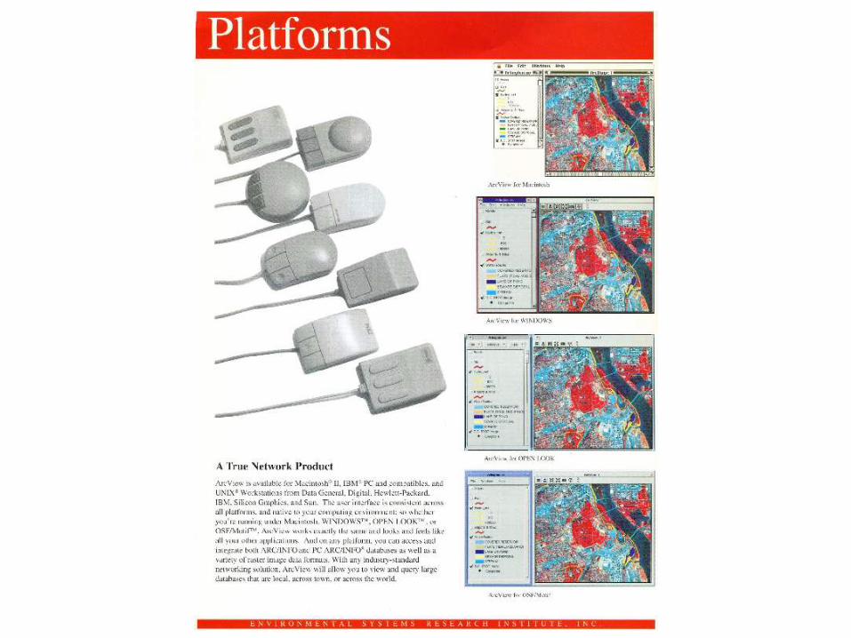
Esri in the 70’s
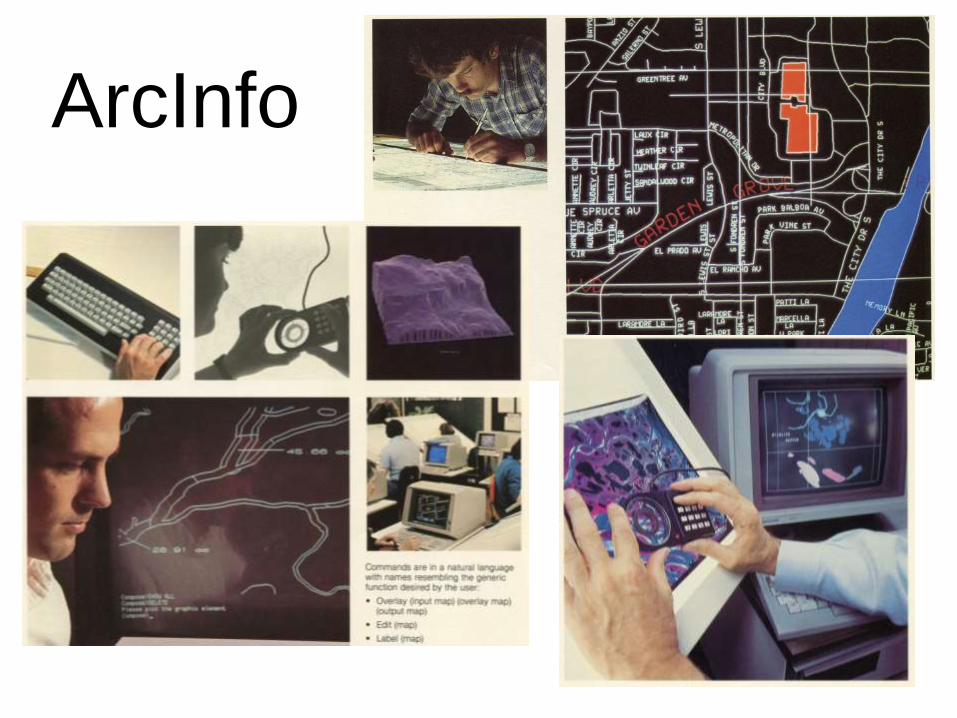
ArcInfo

ARC/INFO Required Prime Computer

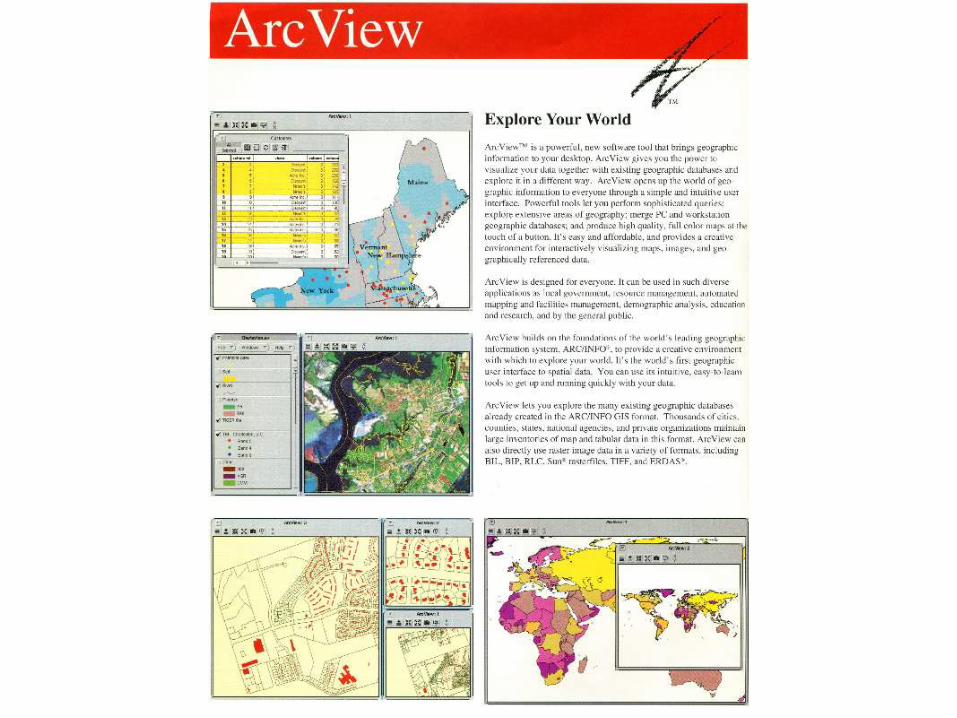
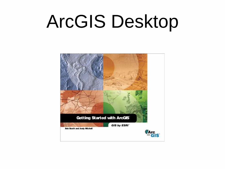
ArcGIS Desktop
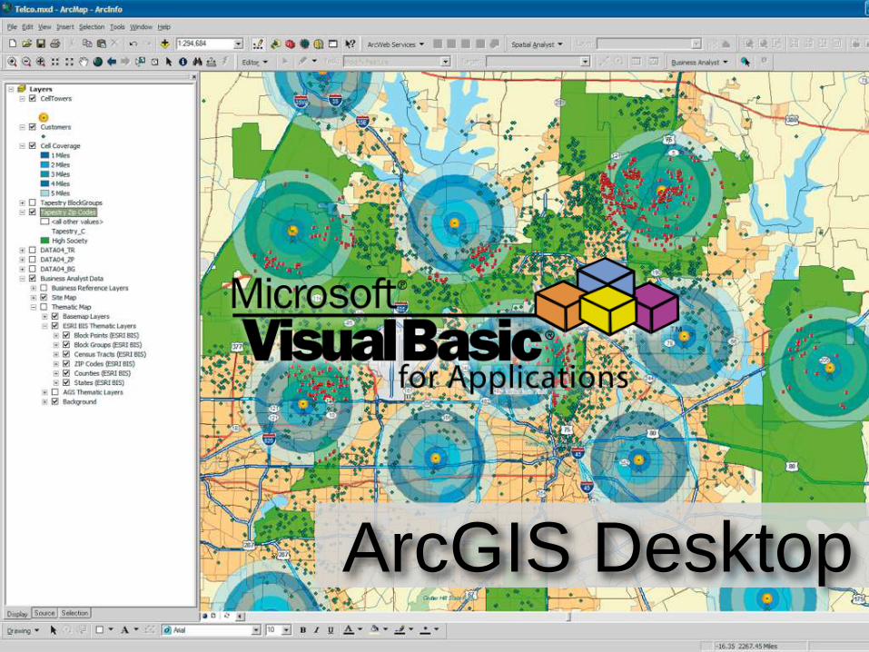
ArcGIS Desktop

Why The History Lesson?

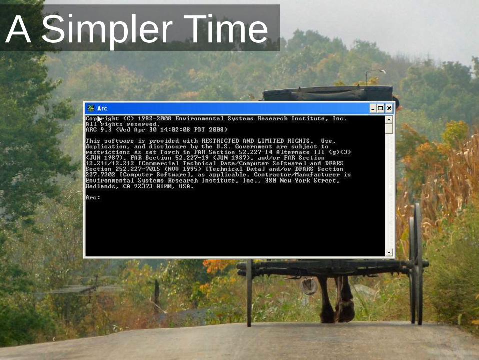
A Simpler Time

Problems with Wizards
• Wizards cause us to conform
• Options are either preset or
confusing
• Lack of documenting the
process

Familiarity is a Tough Nut to
Crack
Most GIS
Professionals
only know
ArcToolbox


With the Command Line• Freedom to work with the data as you want
• Better understanding of the commands
• Combined with scripting you have a recipe
for future work. AKA documentation!
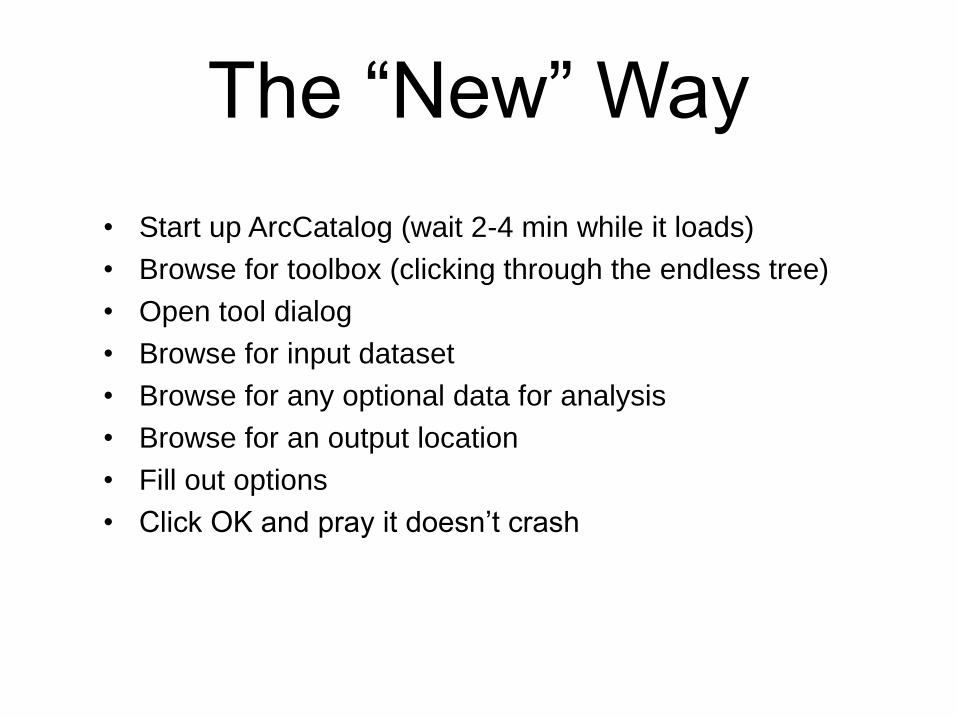
The “New” Way
• Start up ArcCatalog (wait 2-4 min while it loads)
• Browse for toolbox (clicking through the endless tree)
• Open tool dialog
• Browse for input dataset
• Browse for any optional data for analysis
• Browse for an output location
• Fill out options
• Click OK and pray it doesn’t crash
Photo by TheNixer - http://flic.kr/p/yZvyU
Photo by TheNixer - http://flic.kr/p/yZvyU
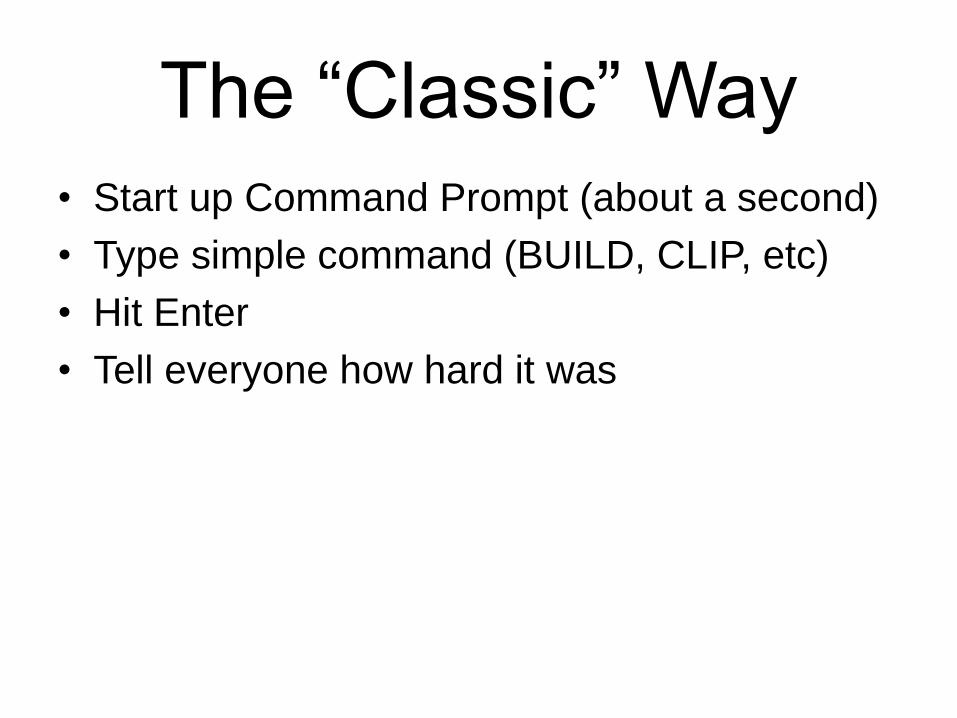
The “Classic” Way
• Start up Command Prompt (about a second)
• Type simple command (BUILD, CLIP, etc)
• Hit Enter
• Tell everyone how hard it was

Python!


Scripting With GIS• AML
• SML
• Avenue
• Visual Basic for Applications *
• VBScript
• JavaScript
• Perl
• Tcl
• Python

Where is Python Used?
• GIS Applications (ArcGIS, QGIS, Safe FME,
Autodesk)
• Web Frameworks (WeoGeo.com, Google)
• Anywhere (Corel, Civilization, Gmail)
• Become the de-facto scripting language
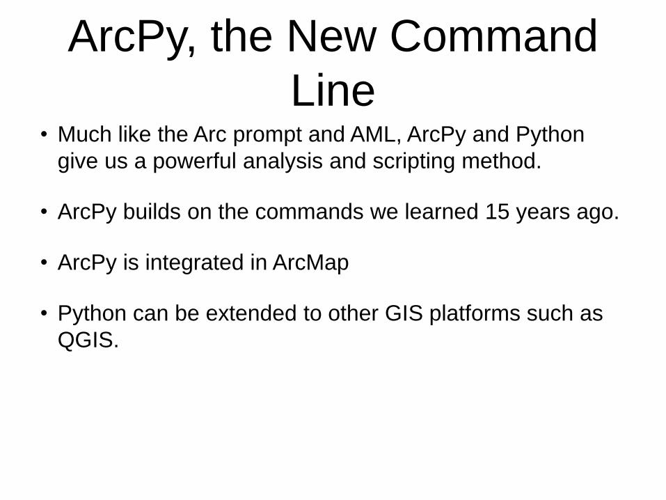
ArcPy, the New Command
Line• Much like the Arc prompt and AML, ArcPy and Python
give us a powerful analysis and scripting method.
• ArcPy builds on the commands we learned 15 years ago.
• ArcPy is integrated in ArcMap
• Python can be extended to other GIS platforms such as
QGIS.
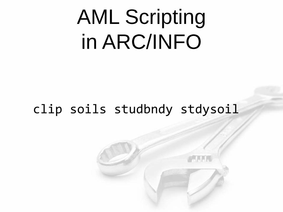
AML Scripting
in ARC/INFO
clip soils studbndy stdysoil
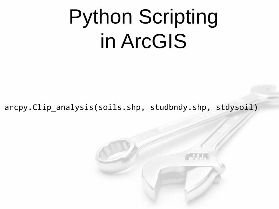
Python Scripting
in ArcGIS
arcpy.Clip_analysis(soils.shp, studbndy.shp, stdysoil)
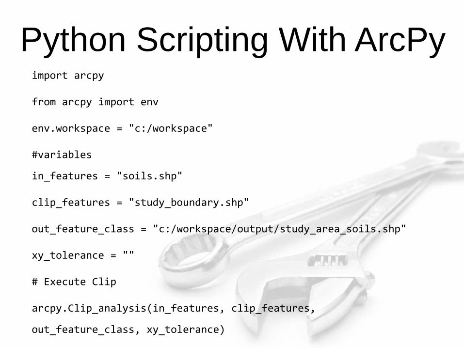
Python Scripting With ArcPyimport arcpy
from arcpy import env
env.workspace = "c:/workspace"
#variables
in_features = "soils.shp"
clip_features = "study_boundary.shp"
out_feature_class = "c:/workspace/output/study_area_soils.shp"
xy_tolerance = ""
# Execute Clip
arcpy.Clip_analysis(in_features, clip_features,
out_feature_class, xy_tolerance)

http://www.flickr.com/photos/wwarby/2989238425/
Python
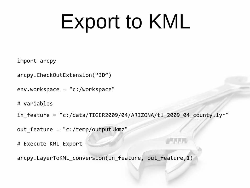
Export to KML
import arcpy
arcpy.CheckOutExtension(“3D”)
env.workspace = "c:/workspace"
# variables
in_feature = "c:/data/TIGER2009/04/ARIZONA/tl_2009_04_county.lyr"
out_feature = "c:/temp/output.kmz"
# Execute KML Export
arcpy.LayerToKML_conversion(in_feature, out_feature,1)
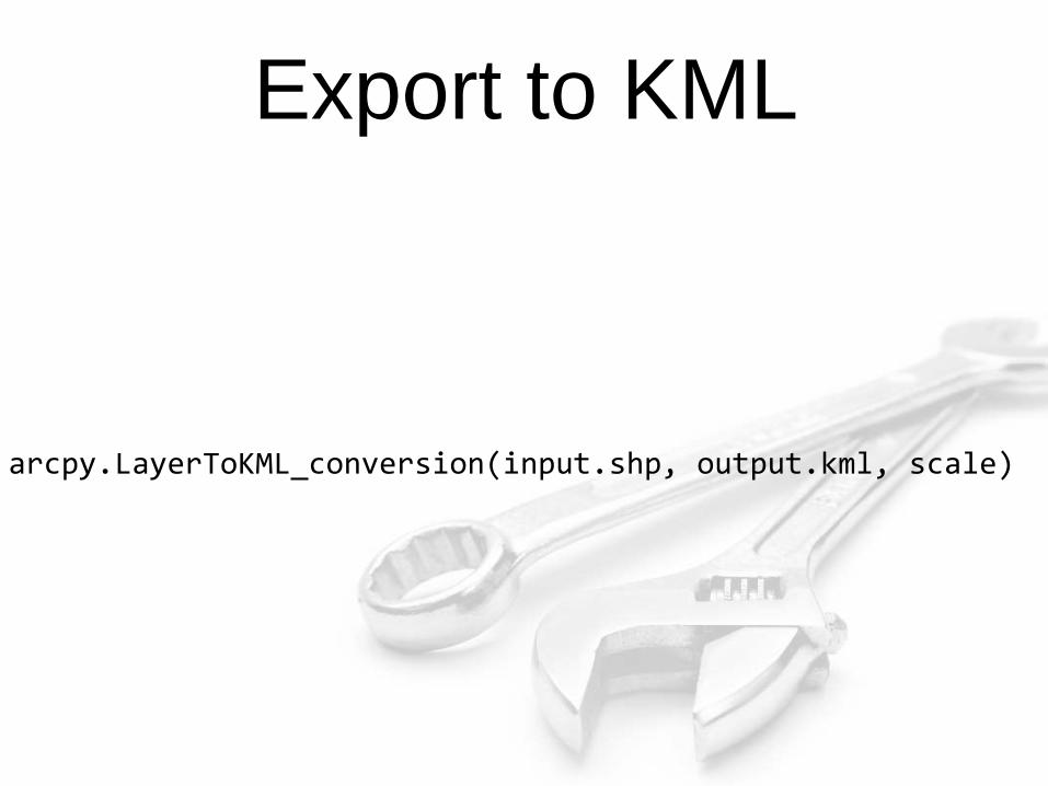
Export to KML
arcpy.LayerToKML_conversion(input.shp, output.kml, scale)
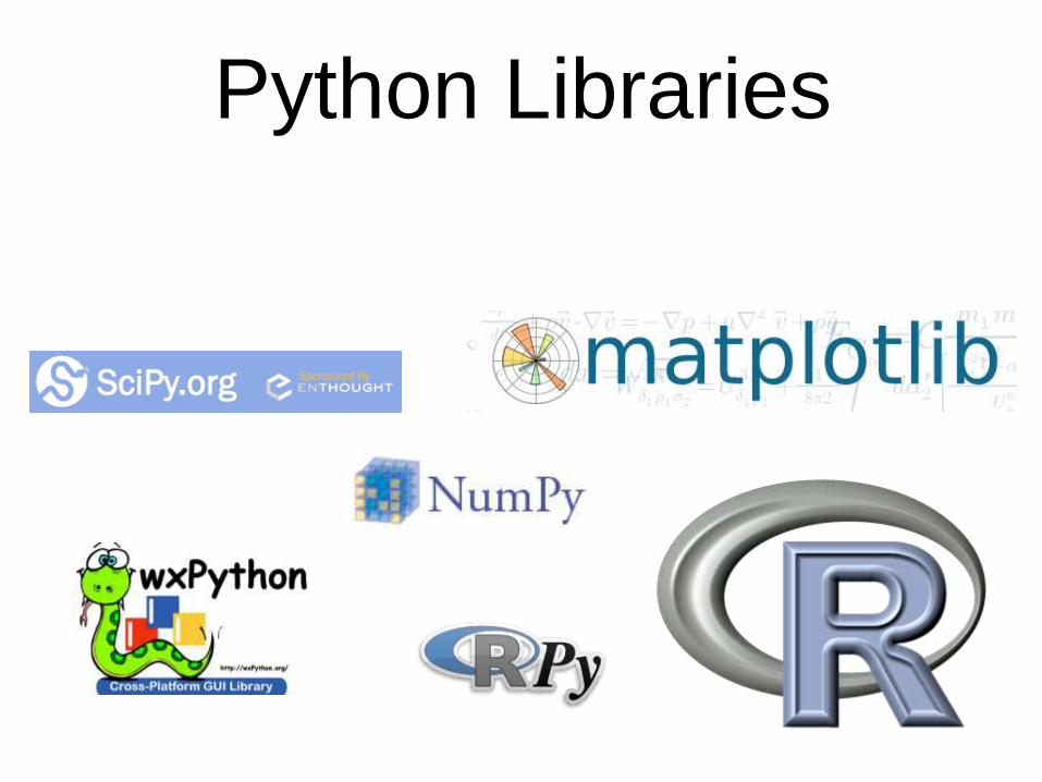
Python Libraries

Rainbows and Unicorns

OK, great…
But what about the future?
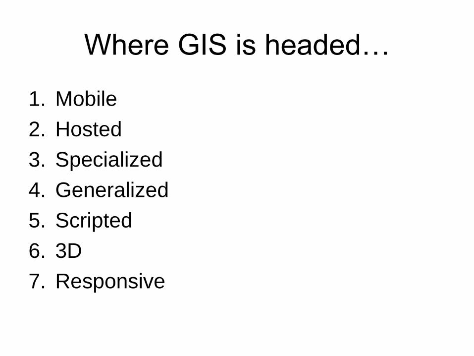
Where GIS is headed…
1. Mobile
2. Hosted
3. Specialized
4. Generalized
5. Scripted
6. 3D
7. Responsive

Mobile
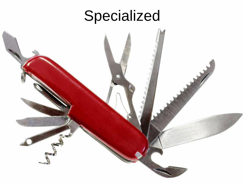
Specialized
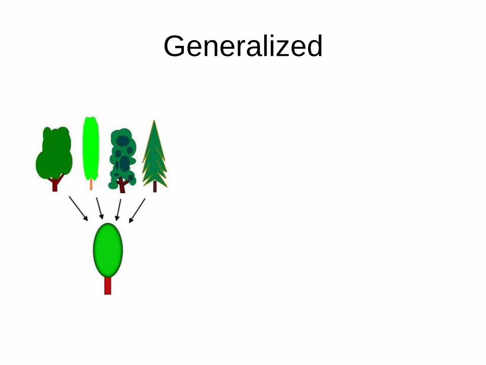
Generalized

Scripted

3D

Responsive

It’s teh awesome!
http://www.flickr.com/photos/soundfromwayout/143822346