GIS & GPS PPt
33
Introduction to the Global Positioning System (GPS)
-
Upload
harish-kumar-lekkala -
Category
Engineering
-
view
340 -
download
21
Transcript of GIS & GPS PPt
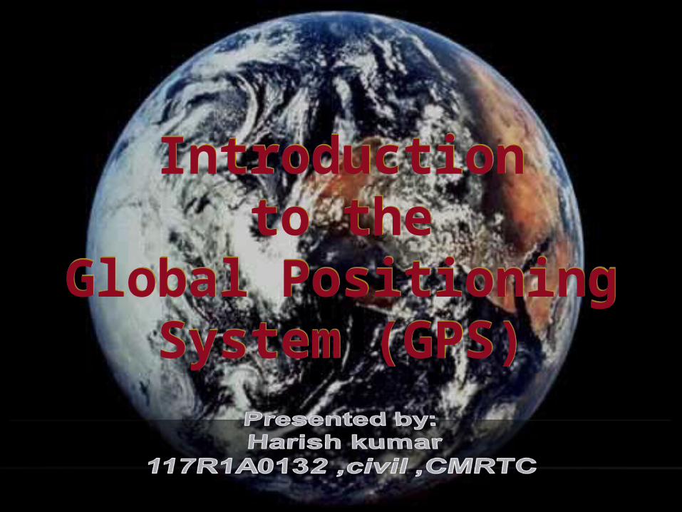
Introductionto the
Global Positioning System (GPS)
Introductionto the
Global Positioning System (GPS)

Introduction
The current global positioning system (GPS) is the culmination of years of research and unknown millions of dollars.
The current system is managed by the U.S Air Force for the Department of Defense (DOD).
The current system became fully operational June 26, 1993 when the 24th satellite was lunched.
HISTORY OF GPS
The design of GPS is based partly on similar ground-based radio-navigation
systems, such as LORAN and the Decca Navigator, developed in the early 1940s and used by the British
Royal Navy during World War

CMR Technical Campus Latitude
17.597370500000000000
CMR Technical Campus Longitude
78.486915400000040000
coordinate points of cmrtc,kandlakoya

GOOGLE EARTH SATELLITE OF-CMRTC
3D-VIEW 2D-VIEW

Global Positioning System
The Global Positioning System (GPS) is a space-based satellite navigation system that provides location and time information in all weather conditions, anywhere on or near the Earth where there is an unobstructed line of sight to four or more GPS satellites. The system provides critical capabilities to military, civil and commercial users around the world. It is maintained by the United States government and is freely accessible to anyone with a GPS receiver.

Control Segment
Space Segment
User Segment
Three Segments of the GPSThree Segments of the GPS
Monitor Stations
GroundAntennas
Master Station

Kwajalein Atoll
US Space Command
Control SegmentControl Segment
Hawaii
Ascension Is.
Diego Garcia
Cape Canaveral
Ground AntennaMaster Control Station Monitor Station
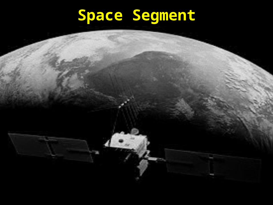
Space Segment

Space Segment--Information
The GPS uses a constellation of 24 satellites that orbit the earth at about 11,000 nautical miles, once every 12 hours.
The orbital position is constantly monitored and updated by the ground stations.
Each satellite is identified by number and broadcasts a unique signal.
The signal travels at the speed of light. Each satellite has a very accurate clock,
0.000000003 seconds

Military. Search and rescue. Disaster relief. Surveying. Marine, aeronautical and terrestrial navigation. Remote controlled vehicle and robot guidance. Satellite positioning and tracking. Shipping. Geographic Information Systems (GIS). Recreation.
User Segment

Position and coordinates.
The distance and direction between any two waypoints, or a position and a waypoint.
Travel progress reports.
Accurate time measurement.
Four Primary Functions of GPS

Selective Availability (S/A)
The Defense Department dithered the satellite time message, reducing position accuracy to some GPS users.
S/A was designed to prevent America’s enemies from using GPS against us and our allies.
In May 2000 the Pentagon reduced S/A to zero meters error.
S/A could be reactivated at any time by the Pentagon.

Sources of GPS ErrorStandard Positioning Service (SPS ): Civilian Users
Source Amount of Error Satellite clocks: 1.5 to 3.6 meters Orbital errors: < 1 meter Ionosphere: 5.0 to 7.0 meters Troposphere: 0.5 to 0.7 meters Receiver noise: 0.3 to 1.5 meters Multipath: 0.6 to 1.2 meters Selective Availability (see notes) User error: Up to a kilometer or more
Errors are cumulative and increased by PDOP.

Sources of Signal InterferenceSources of Signal Interference
Earth’s Atmosphere
Solid Structures
Metal Electro-magnetic Fields

Receiver Errors are Cumulative!Receiver Errors are Cumulative!
User error = +- 1 km
System and other flaws = < 9 meters

XT
E (C
DI)
N (0000)
(00)N
Desired Track
(DTK) (xº) Active Leg
Dista
nce t
o Way
point
Bearing (X
0 )
Present Location
Speed Over
Ground (SOG)
Tracking (TRK) (xº)
Active GOTO Waypoint
GPS Navigation TerminologyGPS Navigation Terminology
Course Made Good (CMG)
(CMG) (xº)
Active From Waypoint

Active GOTO Waypoint
Bearing = Course Over Ground (COG) =
Cross Track Error (XTE) =Location Where GOTO Was Executed
Bearing = 650
COG = 50 XTE = 1/2 mi.
Bearing = 780
COG = 3500 XTE = 1/3 mi.
Bearing = 400
COG = 1040 XTE = 1/4 mi.
Active Leg
N
GPS Navigation: On the GroundGPS Navigation: On the Ground
Position Fix
A position is based on real-time satellite tracking. It’s defined by a set of coordinates. It has no name. A position represents only an approximation of the
receiver’s true location. A position is not static. It changes constantly as the
GPS receiver moves (or wanders due to random errors).
A receiver must be in 2D or 3D mode (at least 3 or 4 satellites acquired) in order to provide a position fix.
3D mode dramatically improves position accuracy.

Waypoint A waypoint is based on coordinates entered into a
GPS receiver’s memory. It can be either a saved position fix, or user entered
coordinates. It can be created for any remote point on earth. It must have a receiver designated code or number, or
a user supplied name. Once entered and saved, a waypoint remains
unchanged in the receiver’s memory until edited or deleted.

How A Receiver “Sees” Your RouteHow A Receiver “Sees” Your Route
Yellow stars: where you want to go.
Green stars: where the GPS receiver may take you.
Blue circles: the potential circle of GPS error at each waypoint.
GPS Satellite Geometry
Satellite geometry can affect the quality of GPS signals and accuracy of receiver trilateration.
Dilution of Precision (DOP) reflects each satellite’s position relative to the other satellites being accessed by a receiver.
There are five distinct kinds of DOP. Position Dilution of Precision (PDOP) is the DOP value used
most commonly in GPS to determine the quality of a receiver’s position.
It’s usually up to the GPS receiver to pick satellites which provide the best position triangulation.
More advanced GPS receivers can filter out poor DOP values.

GPS ApplicationsAgriculture
Aviation
Environment
Marine
Public Safety & Disaster Relief
Rail
Recreation
Roads & Highways
Space
Surveying & Mapping
Timing

Other satellite navigation systems in use or various states of development
include: Comparison of GPS, GLONASS, Galileoand
Compass (medium earth orbit) satellite navigation system orbits with the International Space Station, Hubble Space Telescope and Iridium constellation orbits, Geostationary Earth Orbit, and the nominal size of theEarth.[] The Moon's orbit is around 9 times larger (in radius and length) than geostationary orbit.

various states of development include

.

Advantages of GPS:
GPS is extremely easy to navigate as it tells you to the direction for each turns you take or you have to take to reach to your destination.
GPS works in all weather so you need not to worry of the climate as in other navigating devices.
The GPS costs you very low in comparison other navigation systems.
The most attractive feature of this system is its100% coverage on the planet.
It also helps you to search the nearby restaurants, hotels and gas stations and is very useful for a new place.

.
Due to its low cost, it is very easy to integrate into other technologies like cell phone.
The system is updated regularly by the US government and hence is very advance.
This is the best navigating system in water as in larger water bodies we are often misled due to lack of proper directions.

Disadvantages of Global Positioning System
Sometimes the GPS may fail due to certain reasons and in that case you need to carry a backup map and directions.
If you are using GPS on a battery operated device, there may be a battery failure and you may need a external power supply which is not always possible.
Sometimes the GPS signals are not accurate due to some obstacles to the signals such as buildings, trees and sometimes by extreme atmospheric conditions such as geomagnetic storms.

SATELLITE STATUS

TYPES OF GPS RECEIVERS....

!.

SOURCE: http://www.gps.gov/; http://en.wikipedia.org/wiki/Global_Positioning_System