Geography, Environment and Earth Sciences Stuart McLelland & Lewis Holloway.
13
Geography, Environment and Earth Sciences Stuart McLelland & Lewis Holloway
-
Upload
joleen-lynch -
Category
Documents
-
view
214 -
download
0
Transcript of Geography, Environment and Earth Sciences Stuart McLelland & Lewis Holloway.
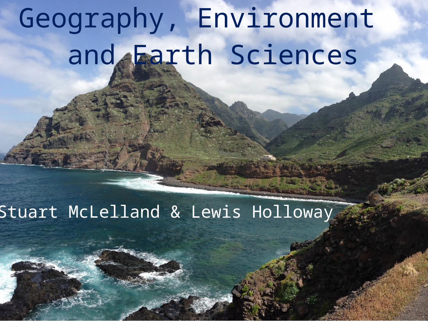
Geography, Environment and Earth Sciences
Stuart McLelland & Lewis Holloway
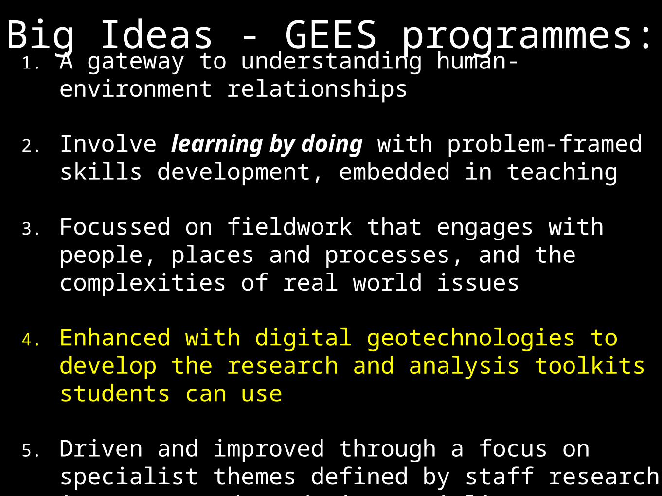
Big Ideas - GEES programmes: 1. A gateway to understanding human-environment
relationships
2. Involve learning by doing with problem-framed skills development, embedded in teaching
3. Focussed on fieldwork that engages with people, places and processes, and the complexities of real world issues
4. Enhanced with digital geotechnologies to develop the research and analysis toolkits students can use
5. Driven and improved through a focus on specialist themes defined by staff research interests and academic specialisms
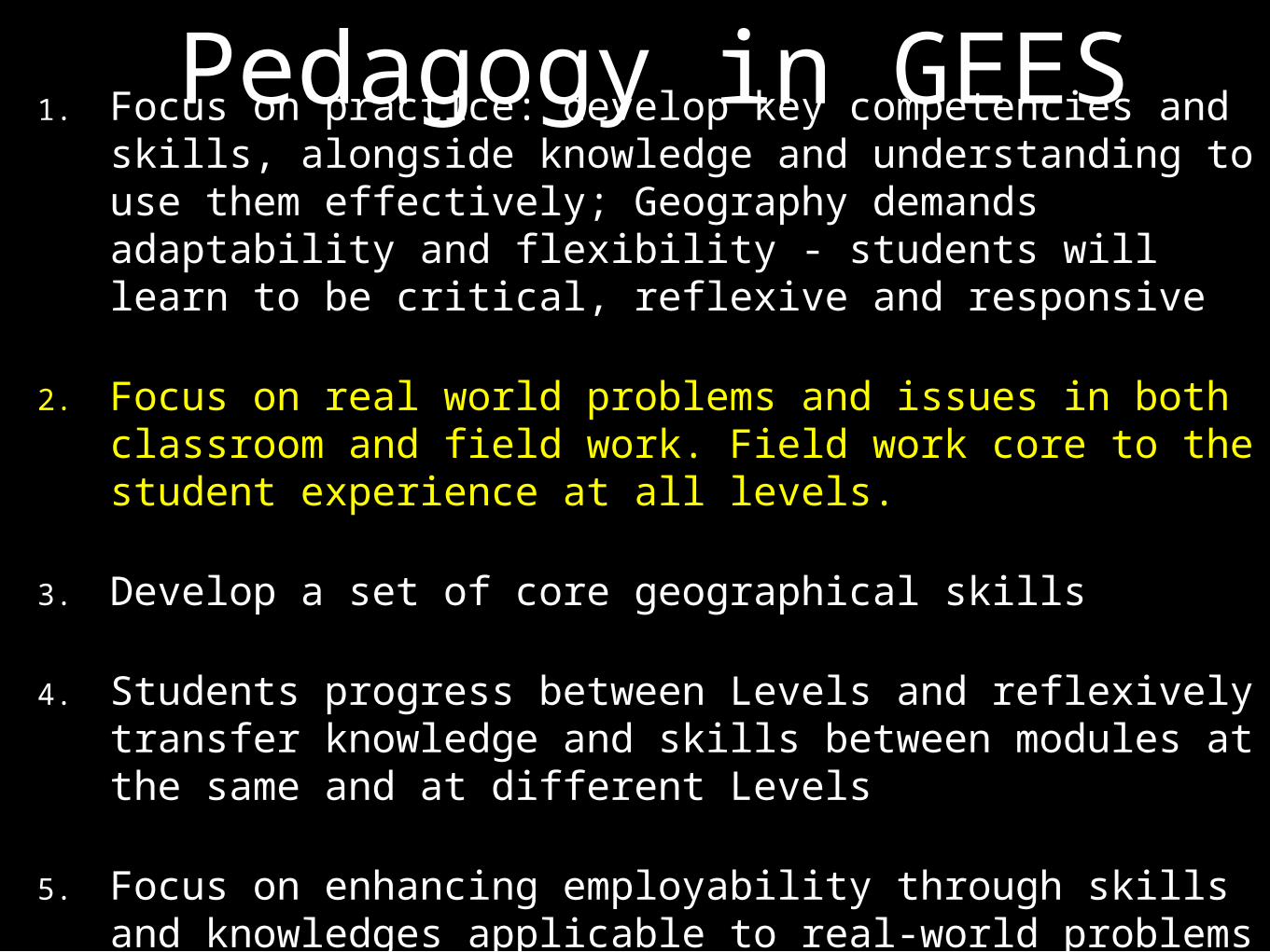
Pedagogy in GEES1. Focus on practice: develop key competencies and skills, alongside knowledge and understanding to use them effectively; Geography demands adaptability and flexibility - students will learn to be critical, reflexive and responsive
2. Focus on real world problems and issues in both classroom and field work. Field work core to the student experience at all levels.
3. Develop a set of core geographical skills
4. Students progress between Levels and reflexively transfer knowledge and skills between modules at the same and at different Levels
5. Focus on enhancing employability through skills and knowledges applicable to real-world problems and contexts.
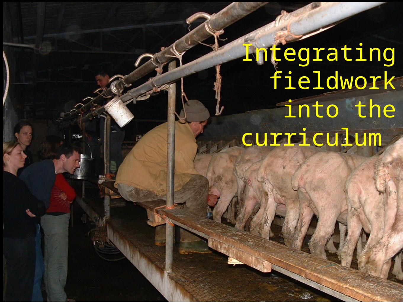
Integrating fieldwork into
the curriculum
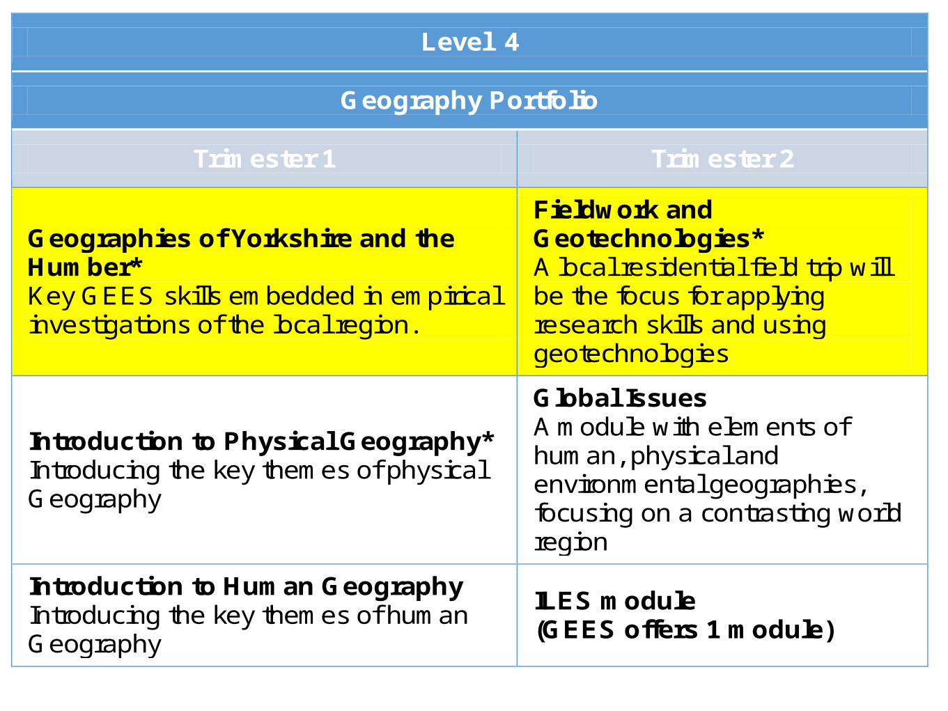
Level 4
Geography Portfolio
Trimester 1 Trimester 2
Geographies of Yorkshire and the Humber* Key GEES skills embedded in empirical investigations of the local region.
Fieldwork and Geotechnologies* A local residential field trip will be the focus for applying research skills and using geotechnologies
Introduction to Physical Geography* Introducing the key themes of physical Geography
Global Issues A module with elements of human, physical and environmental geographies, focusing on a contrasting world region
Introduction to Human Geography Introducing the key themes of human Geography
ILES module (GEES offers 1 module)
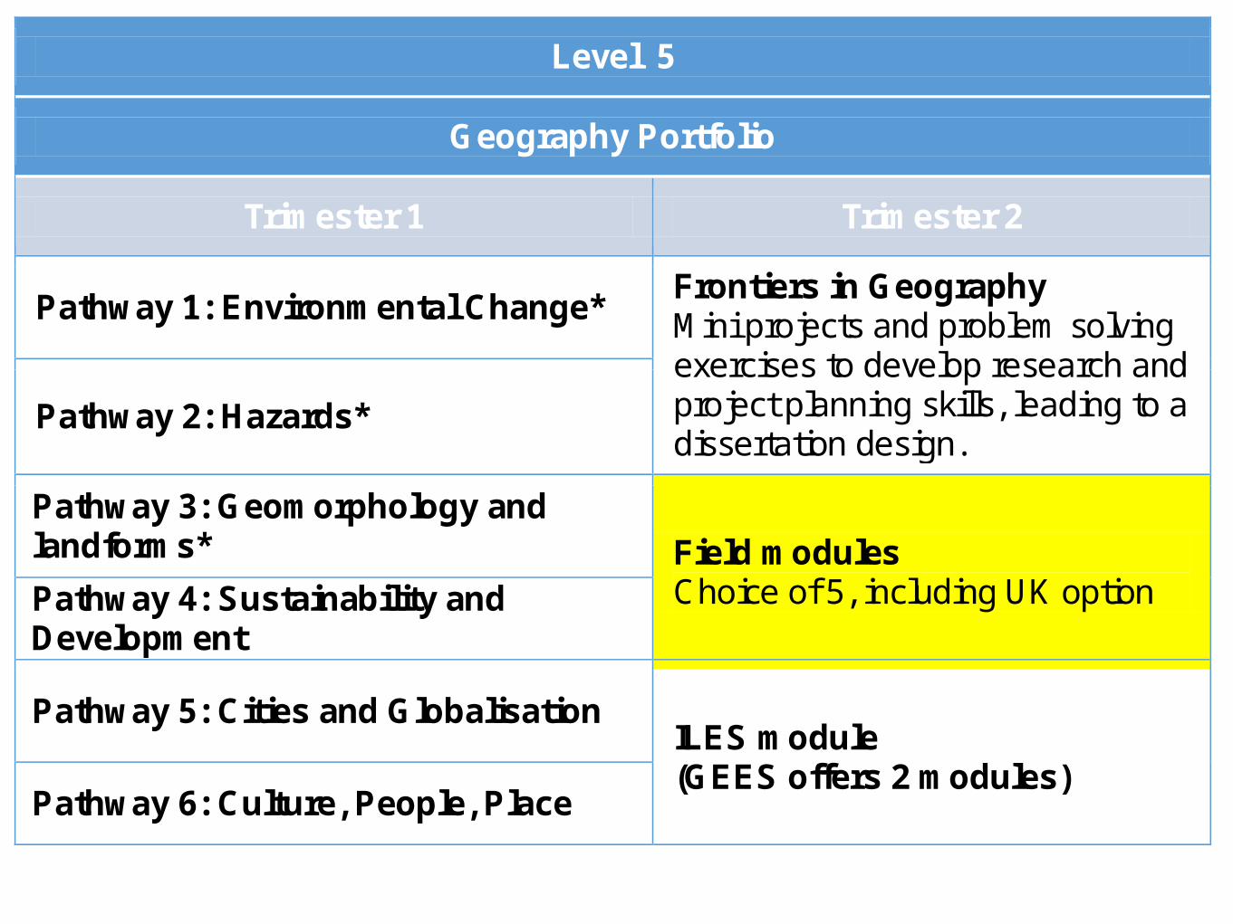
Level 5
Geography Portfolio
Trimester 1 Trimester 2
Pathway 1: Environmental Change* Frontiers in Geography Mini projects and problem solving exercises to develop research and project planning skills, leading to a dissertation design.
Pathway 2: Hazards*
Pathway 3: Geomorphology and landforms* Field modules
Choice of 5, including UK option Pathway 4: Sustainability and Development
Pathway 5: Cities and Globalisation ILES module (GEES offers 2 modules)
Pathway 6: Culture, People, Place
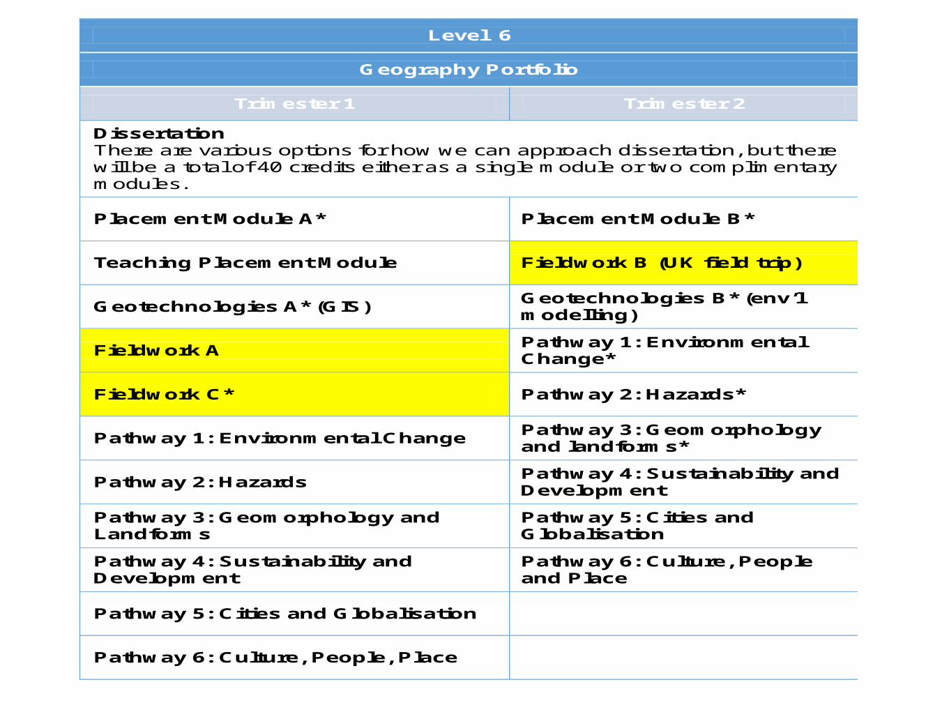
Level 6
Geography Portfolio
Trimester 1 Trimester 2
Dissertation There are various options for how we can approach dissertation, but there will be a total of 40 credits either as a single module or two complimentary modules.
Placement Module A* Placement Module B*
Teaching Placement Module Fieldwork B (UK field trip)
Geotechnologies A* (GIS) Geotechnologies B* (env’l modelling)
Fieldwork A Pathway 1: Environmental Change*
Fieldwork C* Pathway 2: Hazards*
Pathway 1: Environmental Change Pathway 3: Geomorphology and landforms*
Pathway 2: Hazards Pathway 4: Sustainability and Development
Pathway 3: Geomorphology and Landforms
Pathway 5: Cities and Globalisation
Pathway 4: Sustainability and Development
Pathway 6: Culture, People and Place
Pathway 5: Cities and Globalisation
Pathway 6: Culture, People, Place
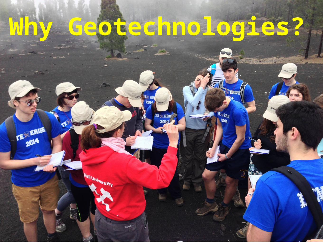
Why Geotechnologies?
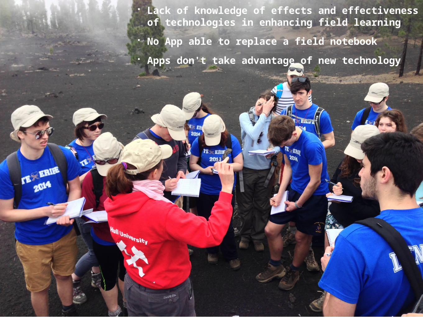
• Lack of knowledge of effects and effectiveness of technologies in enhancing field learning
• No App able to replace a field notebook
• Apps don't take advantage of new technology
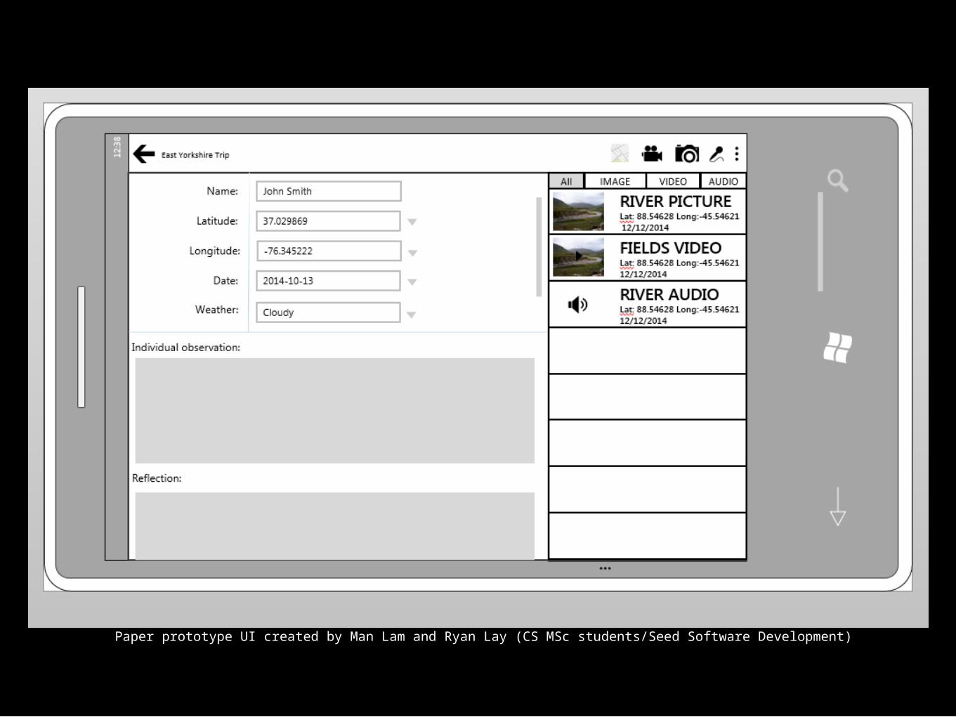
Paper prototype UI created by Man Lam and Ryan Lay (CS MSc students/Seed Software Development)
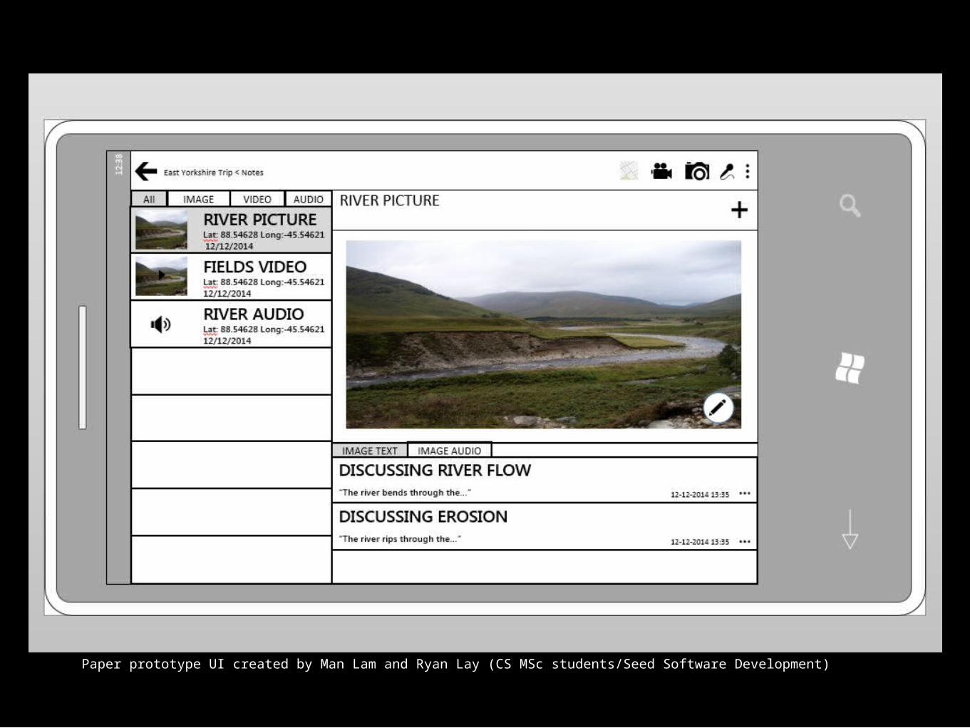
Paper prototype UI created by Man Lam and Ryan Lay (CS MSc students/Seed Software Development)
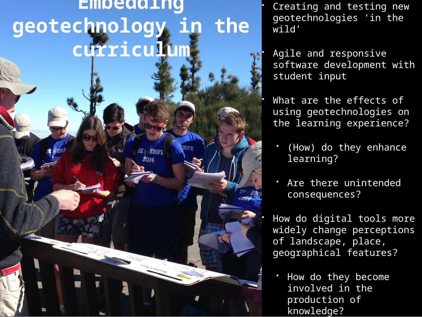
Embedding geotechnology in the
curriculum
• Creating and testing new geotechnologies ‘in the wild’
• Agile and responsive software development with student input
• What are the effects of using geotechnologies on the learning experience?
• (How) do they enhance learning?
• Are there unintended consequences?
• How do digital tools more widely change perceptions of landscape, place, geographical features?
• How do they become involved in the production of knowledge?
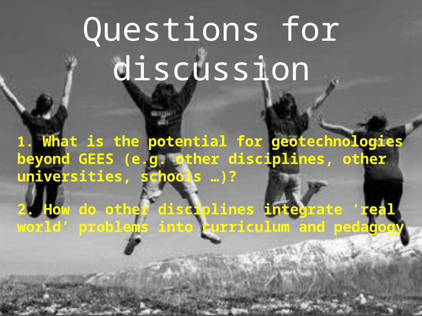
Questions for discussion
1. What is the potential for geotechnologies beyond GEES (e.g. other disciplines, other universities, schools …)?
2. How do other disciplines integrate ‘real world’ problems into curriculum and pedagogy