Geography A Framework for Studying the World. 2 Did You Know? U.S. education officials were shocked...
26
Geography A Framework for Studying the World
-
Upload
scot-wilkerson -
Category
Documents
-
view
220 -
download
0
Transcript of Geography A Framework for Studying the World. 2 Did You Know? U.S. education officials were shocked...

Geography
A Framework for Studying the World

2
Did You Know?
• U.S. education officials were shocked when a nine-nation survey found that 1 in 5 young Americans could not locate the United States on a blank map of the world!

3
Globes and Maps
– Because globes are not practical Because globes are not practical or easy to use to carry, flat maps or easy to use to carry, flat maps were invented.were invented.
– However, the earth is round and However, the earth is round and a map is flat.a map is flat.
– Mapmakers had to find ways to Mapmakers had to find ways to make maps accurate.make maps accurate.

4
Latitude and Longitude
5
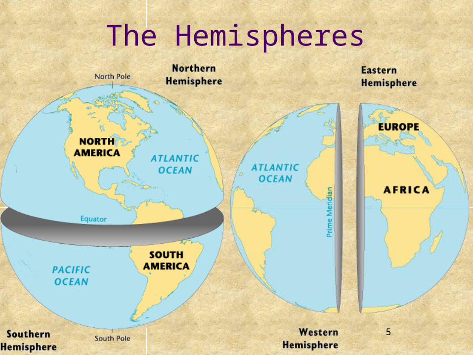
The Hemispheres

6
Globes and Maps
• The most accurate way to present The most accurate way to present information on the islands, continents, information on the islands, continents, and bodies of water is to put it all on a and bodies of water is to put it all on a globe, a round ball like the Earth itself.globe, a round ball like the Earth itself.
• The difference between a globe and the The difference between a globe and the Earth itself is the Earth itself is the SCALESCALE, or size, , or size, represented on the globe.represented on the globe.

7
Getting It All On the MapGetting It All On the Map
• In 1569, a geographer named Gerardus Mercator created a flat map to help sailors navigate long journeys across the globe.
• The Mercator Projection is a conformal map, meaning that it shows correct shapes, but not true distances or sizes.
• There are many other types of projections used in maps besides Mercator.
8
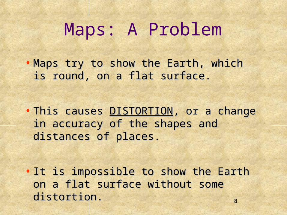
Maps: A Problem
• Maps try to show the Earth, which is Maps try to show the Earth, which is round, on a flat surface. round, on a flat surface.
• This causes This causes DISTORTIONDISTORTION, or a change , or a change in accuracy of the shapes and distances in accuracy of the shapes and distances of places. of places.
• It is impossible to show the Earth on a It is impossible to show the Earth on a flat surface without some distortion.flat surface without some distortion. 8

9
What is Geography?
• From the Greek words Ge and Graphe meaning, “To Describe the Earth.”
• But Geography is so much more than locations on a map.
• It is also the study of our Earth.

The Five Themes of Geography
1. Location
2. Place
3. Human Environment Interaction
4. Movement
5. Regions

11
The Five Themes of Geography
• When geographers work, they are guided by two When geographers work, they are guided by two basic questions:basic questions:
1)1) Where are things located?Where are things located?
2)2) Why are they there?Why are they there?

Theme 1: LocationWhere Is It? Why Is It There?
Two Types of Location:
•Absolute
•Relative

Absolute Location
• A specific place on the Earth’s surface.• Uses a grid system• Latitude and Longitude• A global address

Absolute Location: Vermont
• Vermont41° N Latitude 71° W longitude

Relative Location• Where a place is in relation to another place.• Example: Vermont
– Vermont is bordered by Canada on the NORTH, Massachusetts on the SOUTH, New Hampshire on the EAST, and New York on the WEST.
– Vermont is one of the NORTHEASTERN states.

Theme 2: PlacePhysical and Human
Features
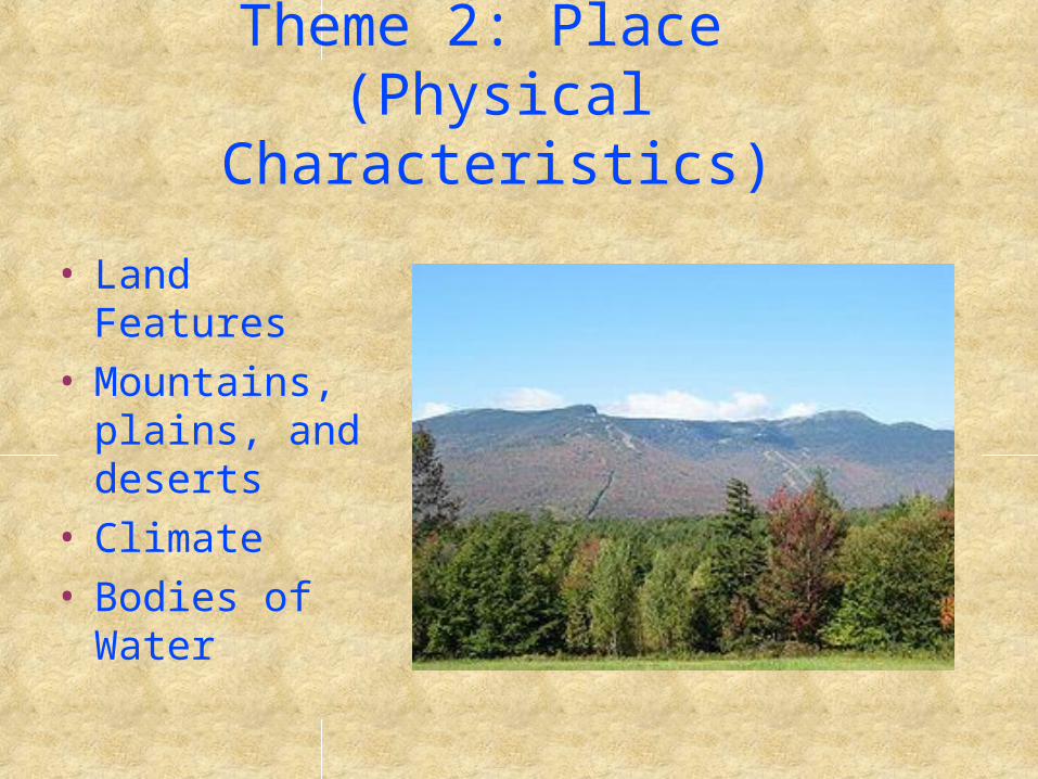
Theme 2: Place (Physical Characteristics)
• Land Features• Mountains,
plains, and deserts
• Climate• Bodies of
Water

Theme 2: Place(Human Characteristics)
• People• Culture• Language• Religion• Buildings and
Landmarks• Cities

Vermont: Human Characteristics

Theme 3: Human Environment Interaction
How People Interact With Their Environment.
People . . .• Adapt to Their Environment• Modify Their Environment• Depend on Their
Environment

Vermont: Human Environment Interaction

Theme 4: MovementHow Places are linked to one another and
the world.
The Mobility of• People• Goods• Ideas
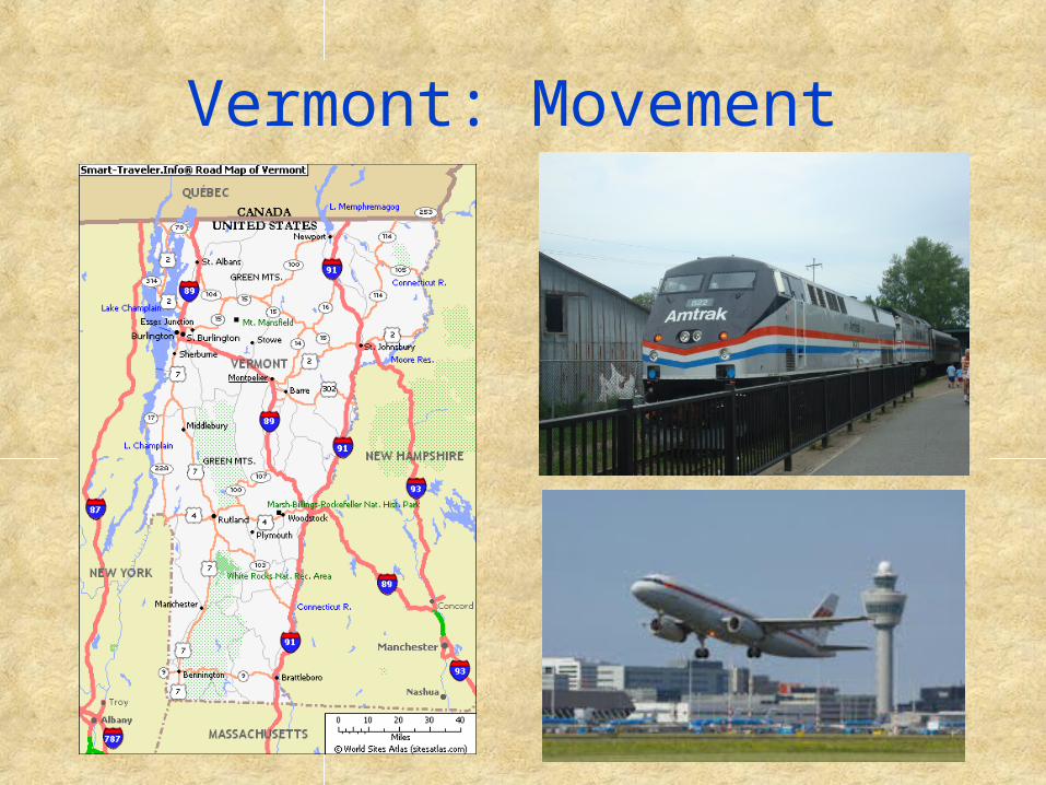
Vermont: Movement

Theme 5: Regions
What Places Have in Common.
• Political Regions• Landform Regions• Agricultural Regions• Cultural Regions

Vermont: Regions

26
HOMEWORK• Geography Quiz on Tuesday.
• The Quiz will be on the information from this presentation on Geography and the 5 Themes of Geography.
• We will review in class on Monday but you should start studying over the weekend.
26

![[Webinar] Facebook Ads Updates: First You'll be Shocked, Then Inspired!](https://static.fdocuments.net/doc/165x107/587678591a28abd0018b7695/webinar-facebook-ads-updates-first-youll-be-shocked-then-inspired.jpg)