Forest Ecology and Fire Behavior - Colorado State University

JST-JICA Project” Wild Fire and Carbon Management in Peat-Forest in Indonesia”
Hokkaido University, The University of Tokyo, JAXAUniversity of Palangka Raya, LAPAN
FOREST FIRE GROUP Current Status & Planning
2010.07.07JPTM Manila

FF-1-3 Met. Modeling and Fire Simulation
FF-1-4 Peat Moisture Estimation
FF-1-1 Fire Detection
Koji NakauMasami TokunoKeiji KushidaSuwarsono, Parwati
Keiji KimuraOrbita Roswintiarti
Wataru TakeuchiNanin Anggraeni
FF-1-5 Fire Information via SMS
Hiroshi TaniHendrik Segah
General Coordination
Hendrik SegahAtsushi OnoOrbita RoswintiartiAswin Usup
FF-1 : Wild/Peat Fire Control System
FF-1-2Wildfire Local ValidationToshihisa HonmaKoji NakauAswin Usup
Kazuya KakuAtsushi OnoOrbita RoswintiartiAswin Usup
FF-2 : Mapping and Modeling the Land CoverHendrik SegahAgus Kristiyono
FF: Fire Detection and Fire Prediction SystemToshihisa HonmaAgus HidayatRatih D. Dimyati
FF2-2 Spectrum Library (plant/soil)
Keiji KimuraAgus KristiyonoKustiyo, Bambang Trisakti
FF2-1 Land Coverage Map
Keiji KimuraTeguh Prayogo
FF2-3 Carbon Budget Estimation
Hendrik Segah
Structure of FF Group

7 Purposes in “Plan of Operation”
Improve fire hotspot algorithm
Estimate carbon emission by biomass burning among different ecotypes
1
2
3
4
5
6
7
Transfer in-situ fire information to each region
Construct prediction model of wildfire occurrence
Construct model of water regime
Make map of land cover /land use change
Establish spectral library ( plant / soil ) in investigation area
The fire hotspot algorithms that suitable with Indonesiawith levels of accuracy
Development of Fire Prediction Model
The biomass burning emissionestimates from different soil (peat and mineral soil) and land cover types
The in-situ fire information(locations and coverage)through the ground-checkingvalidation
Model of water regime(Soil Moisture)
Trainings programsfor the related stakeholder
Land cover /land use biophysical/physiological maps
Detection of land cover / land
use change (quantitative area
estimation)
Establishing of a spectral library(plant / soil) for the investigationarea
Correlation between remote sensing derived land surface spectral parameters with field measurement parameters
Spatial and temporalcarbon budget maps
11 Project OutputsTo develop the fire hotspot algorithmsderived from Terra/Aqua MODIS satellite data
To evaluate the fire hotspot algorithmsthrough local validation
To derive the levels of accuracy of theresulted fire hotspot algorithms
To develop the peat moisture contentthreshold for fire to burn
Mapping of land cover / land useattributes in at the landscape scale bymeans of operationally available satellitedata
To provide Indonesian fire suppressionteams and other stakeholder agencieswith the accurate fire hotspot information
Estimating land use/cover parametersand forest properties at theintermediate and stand scale by meansof new high resolution satellite data
Modeling carbon budget by recovered and growing existing vegetation
FF1-1
FF1-2
FF1-3
FF1-4
FF1-5
FF2-1
FF2-2
FF2-3
Project Activities

FF Group Activities in 2010Activities/Timeline
Jan Feb Mar Apr May Jun Jul Aug Sep Oct Nov Dec
Group Meetings15-
SapporoFF Meeting
17-Tokyo
FF Meeting
26-TokyoFF
Meeting
16-Tokyo
FF Meeting
27-Jakarta
FF Meeting
5-Sapporo
FF Meeting
JST/JICA Project 28-29Workshop
FF-1 Field
travels
JakartaBali & P.Raya
Jakarta, P. Raya, Pare-Pare
Jakarta, P. Raya
FF-2 Jakarta Jakarta, P. Raya
Project Objectives 2009 – 2014 (Mar) Rate of Achievement
1. Improve fire hotspot algorithm ~ 25%
2. Estimate carbon emission by biomass burning among different ecotypes ~ 15%
3. Transfer in-situ fire information to each region ~25%
4. Construct prediction model of wildfire occurrence ~20%
5. Construct model of water regime ~25%
6. Make map of land cover /land use change ~25%
7. Establish spectral library (plant / soil) in investigation area ~25%

Operation Schedule in 2009 (1st year)
• Examination of the system
• Comparison of fire detection methods
• Analysis of parameters in the fire expansion simulation
• Examination of the system transfer from Hokkaido University to LAPAN
• Ground truth
.

Operation Schedule in 2010 (2nd year)
• Making prototype system in Hokkaido University
• Test of mobile terminal (mobile phone or short message service:SMS) for firefighters
• Incorporating fire detection methods into the system
• Incorporating the fire expansion simulation into the system
• Preparation to transfer the system from Hokkaido University to LAPAN
• Ground truth

Terra & Aqua (MODIS)
Analysis
Data storage
Web
Firefightersin Palangka Raya
ALOS(PALSAR/PRISM/
AVNIR2)
Semi-Real time
手動配信
Visualization(GIS)
(Validation)
↓Japan
↑Indonesia
JAXA
Hokkaido Univ.
Step1: Making prototype in JAPAN
↓Indonesia
↑Japan
(automatic)
(on demand)
From 2009 to 2010
Analysis: Fire detection & fire expansion simulation

Matters to consider our systems
1. Transportation of data and information
2. Management and maintenance of the system in Indonesia
3. The corporation with firefighters in Palangka Raya.
4. The mobile terminal for firefighters
5. The relationships with other projects

(1) Transportation of data and information
• LAPAN has the some receivers of MODIS at ParePare in Sulawesi Island and Rumpin in Bogor.
• I heard the high-speed network will be connected to LAPAN at August 2009.
• In order to send data and information from Hokkaido University to LAPAN on real-time, the high-speed internet is needed certainly.

(2) Management and maintenance of the system in Indonesia
• The system will be managed and maintained by LAPAN sustainably after the final year of our project (in 2013).
• We must operate the system in LAPAN from the 3rd year (in 2011). We need buy the hardware and setup it in Indonesia under the rule of JICA-fund.
• Our system is based on the LINUX operating system to operate the data analysis automatically.
• Our system includes the regional meteorological simulation like MM5/WRF. The maintenance is needed.
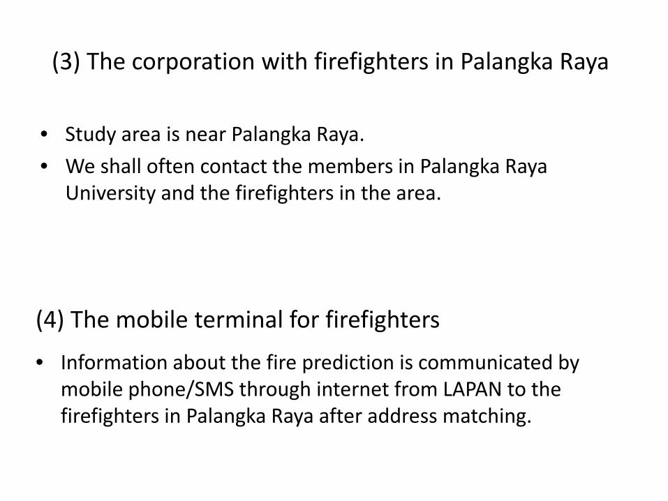
(3) The corporation with firefighters in Palangka Raya
• Study area is near Palangka Raya.
• We shall often contact the members in Palangka Raya University and the firefighters in the area.
(4) The mobile terminal for firefighters
• Information about the fire prediction is communicated by mobile phone/SMS through internet from LAPAN to the firefighters in Palangka Raya after address matching.
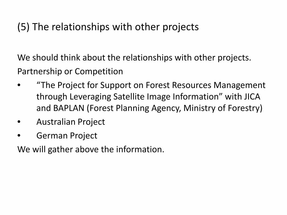
(5) The relationships with other projects
We should think about the relationships with other projects.
Partnership or Competition
• “The Project for Support on Forest Resources Management through Leveraging Satellite Image Information” with JICA and BAPLAN (Forest Planning Agency, Ministry of Forestry)
• Australian Project
• German Project
We will gather above the information.

Project Goals
• FF1 :Construct wild/peat fire controlsystem
• FF2: Mapping and modeling the landcover

Objects of FF-1 Subgroup• FF1-1 To develop the fire hotspot detection
algorithms derived from Terra/Aqua MODIS satellitedata
• FF1-2 To evaluate the fire hotspot detectionalgorithms through local validation
• FF1-3 To derive the levels of accuracy of the resultedfire simulation
• FF1-4 To apply the water regime to the fire predictionand the water level control of canals
• FF1-5 To provide Indonesian fire suppression teamsand other stakeholder agencies with theaccurate fire hotspot information

Structure of
FF1 Subgroup
FF1-1Detection
FF1-3ExpansionSimulation
FF1-4WaterRegeme
FF1-5Fire Alartto FireFIghter
FF1-2GroundObservation
15JAXA EORC, Koji Nakau
We need to set up 5 servers for FF-1- Stable network- Stable electoricity- Safe space

FF1-1 Fire DetectionNew Generation Fire Detection
• Doubled S/N ratio (comparing to MOD14– 80% more HS and & 10% less False Alarm– Smoldering, small fire or slush and burn– Geographical distribution is completely different– Suitable to decide firefighting strategy and confirm extinction
MOD14 Proposed
ASTER false color R:2.24µm G:1.65µm B:0.66µm Y: MOD14 R:Proposed

FF1-2 ValidationLANDSAT7/5 and Ground observation
--- GPS track of observer on Aug 26 2009RGB LANDSAT7 short wave infrared image
Large Active Peat Fire
Active Peat Fire
Active Forest FireWe do not know the apperent temperatures of crown fire and peat fire.

FF1-3 Fire Expan. Simulation
• Simulation Result at 16:00, June25 (after 24 hours run).• The expansion for the very slow expansion mainly to southward is
overestimated. • The rapid expansion toward eastward is underestimated because of the limit
of time step.

FF1-4 Water Regeme
JAXA EORC, Koji Nakau

Example of Thermography Imageof flight observation
RGB IR
UAV (Unmanned aerial vehicle) flight observation andWireless Sensor Network are indispensable as well asground observations.

Objects of FF-2 Subgroup
• FF2-1 Mapping of land cover / land use attributes in atthe landscape scale by means of operationally
available satellite data
• FF2-2 Estimating land use/cover parameters andforest properties at the intermediate andstand scale by means of new high resolutionsatellite data
• FF1-3 Modeling carbon budget by recovered andgrowing existing vegetation

Layers on GIS in FF2
3. Building database
PolygonData
LineData
RasterData
PointData
On the same projectionIt consists of gathering various kinds of distribution data around Palangka Raya, carbonflux data in some points observed by other group, and so on. With GIS analysis, thecarbon inventory will be provided for other groups.

One example: Land cover classification by ALOS/PALSAR imagery around Palangka Raya
• We classified the vegetation into eight categories from theHH and HV polarization of ALOS/PALSAR with theISODATA method which is a kind of the non-trainingclassification.
• We made the land cover maps of three periods: July 9,August 24 and October 9, 2007 around Palangka Raya.
• The POSTEL vegetation is used for the sampling data.• The results are compared with the vegetation map by
SarVision and both classifications are very similar.• This means that the latest vegetation map can be renewed
every 46-day of the ALOS’s repeat cycle.

Changing land covers in the study areaduring recent 10 years
4. Results
May, 1997 July, 2000 Oct., 2007
Page et al.(1997) From PALSER data (our study)LANDSAT ETM+(NDVI)

Results of land cover analysis
We can analyze the land cover every 46-days
with ALOS-PALSAR imagery.
WaterDense forestThin forestThin bushBurnt forestBurnt bushBare groundTown
July 9, 2007 August 24, 2007 October 9, 2007

A study on vegetation classification in tropical area using satellite data
LANDSAT9 June 2001
LANDSAT19 May 2002
LANDSAT5 August 2007
LANDSAT19 May 2008
Legend:
LANDSAT DATA:• 09 June 2001• 19 May 2002• 22 May 2003• 25 June 2004• 31 August 2005• 18 August 2006• 05 August 2007• 19 May 2008

LANDSAT9 June 2001
Legend:
LANDSAT5 August 2007
A Study on vegetation classification in tropical area using satellite data
1 1
22
1
2

Another Example: Estimation of CO2 emission
from Mega-Hectare area
Non-forest (8tC/ha/year emission)413,000ha 1.65MtC
Thin Forest (15-40%)(6tC/ha/year emission)1,670,000ha 10.02MtC
Thick Forest (40%-)(4tC/ha/year emission)19,000ha 0.076MtC
Total: 11.7MtC from 2,100,000haby the soil respirationaround the Mega-Hectare area
Japanese annual emission of Carbon is about 341MtC(2005). This area emits the 3.4% of CO2 from Japan. Original data by POSTEL(2008)

CO2 emission data are
compared with GOSAT
data

Spectrum library(peat & soil)
Dry peat
Wet peat
Imperata cylicdrica
2008
2008
Preliminary results

Green