
Edge of the Empire - Beginner Game - Character Folio - Lowhhrick

Living on the Edge of Empire
Chapter 8
Edge of the Empire
Extra-Mural Settlement in a Marginal ContextRoman Castleshaw
by Norman Redhead
ecent research has located the remains ofoccupation outside the defences of the Roman
ilitary station at Castleshaw - a short livedsite that was agriculturally, climatically andstrategically marginal. That such a site should attractextra-mural settlement is of considerable interest.
The Roman fort and fortlet at Castleshaw (SD 99880965) lie on a spur (called Castle Hill) on the easternslopes of the Castleshaw Valley (Fig 8.1). The site is at275m AOD, at the foot of Standedge, the summit of thePennine ridge (450m AOD), and is overlooked by
higher ground on all sides. The site is, nevertheless,extremely well placed with clear visibil i ty up and downthe valley.
Castleshaw consists of an Agricolan fort, displayingtwo phases of occupation, built around AD 79 andabandoned probably in the mid-AD 90s. This wasoverlain, after a period of abandonment, by a smallfortlet erected around AD 105 which also had twophases of development before being slighted in themid-AD 120s. All phases of construction were in turfand timber.
Fig 8.1: Aerial view of the Castleshaw Roman fan and fortlet.
74 Archaeology North West Vot 3 (Issue 13 for 1998)
Living on [he Edge of Empire
The fort had a standard auxiliary infantry cohortwhich guarded the main York to Chester highway as itclimbed to the Pennine pass. A sister fort only 8 milesaway at Slack near Huddersfield controlled the easternapproach to the Pennines. The fortlel at Castleshaw,which succeeded the fort, was more unusual. It occupied1950 m and comprised principally an over largegranary, commander's house, courtyard building,workshop, and one barrack block and had two possibleroles: a base fortlet containing the core buildings of anormal unit where most of the troops wereout-stationed, or a commissary fortlet dedicated to anadministrative role for control and/or supply (Walker1989).
As part of the continuing programme of managementand research at the Castleshaw Roman forts site, theGreater Manchester Archaeological Unit recentlyundertook an evaluation of extra-mura! activity to forma better understanding of the extent of Roman remainsand the site's function. In 1994 two exploratory trencheswere excavated opposite the south-west corner of thefortlet defences and the discovery of Roman depositshere led to a larger scale two week site investigation insummer 1995 and again in summer 1996. The projectwas directed by Norman Redhead of the GMAU withsupport from staff of the University of ManchesterArchaeological Unit and volunteers. Funding wasprovided by the landowners North West Water Pic.
Methodology
Until the recent evaluation the area outside thedefences of the fort had never been investigatedarchaeologically; although it was suspected thatextra-mural activity may have taken place, there waslittle firm evidence for this. The evaluation examinedthe top of Day croft Field, which occupies the remainingflattish part of the spur immediately south of the Romanforts. This hill top forms a rough triangle with theground falling steeply away to the south towards WatersClough but on the west side it shelves away much moregently. The Tangs, a field immediately to the west ofthe fort defences, was also investigated in the 1996evaluation. This field slopes gently westwards beforedropping more steeply down to Castle Hill Cote (Fig8.1).
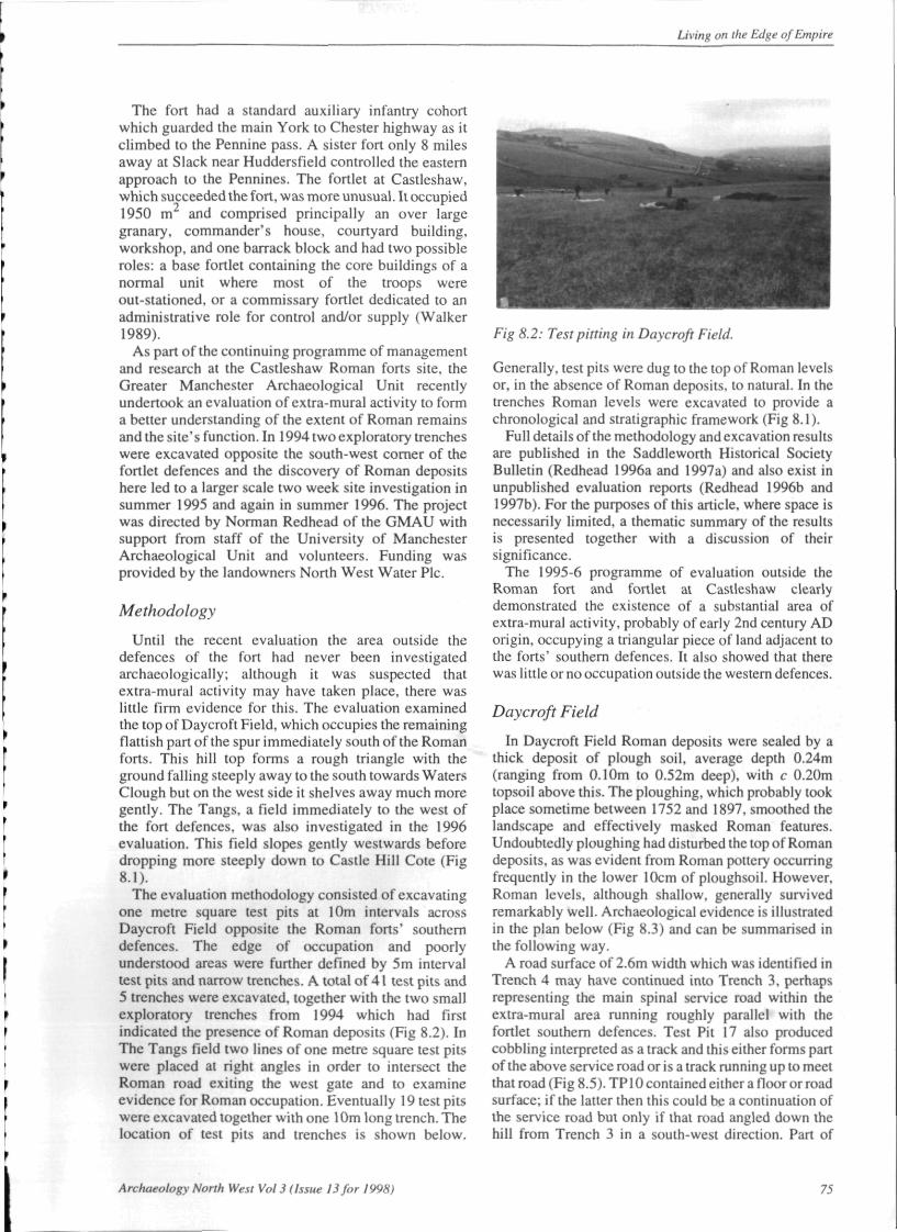
The evaluation methodology consisted of excavatingone metre square lest pits at 10m intervals acrossDaycroft Field opposite the Roman forts' southerndefences. The edge of occupation and poorlyunderstood areas were further defined by 5m intervaltest pits and narrow trenches. A total of 41 test pits and5 trenches were excavated, together with the two smallexploratory trenches from 1994 which had firstindicated the presence of Roman deposits (Fig 8.2). InThe Tangs field two tines of one metre square test pitswere placed at right angles in order to intersect theRoman road exiting the west gate and to examineevidence for Roman occupation. Eventually 19 test pitswere excavated together with one 10m long trench. Thelocation of test pits and trenches is shown below.
Fig 8.2: Test pining in Daycroft Field.
Generally, test pits were dug to the top of Roman levelsor, in the absence of Roman deposits, to natural. In thetrenches Roman levels were excavated to provide achronological and stratigraphic framework (Fig 8.1).
Full details of the methodology and excavation resultsare published in the Saddleworth Historical SocietyBulletin (Redhead 1996a and 1997a) and also exist inunpublished evaluation reports (Redhead 1996b and1997b). For the purposes of this article, where space isnecessarily limited, a thematic summary of the resultsis presented together with a discussion of theirsignificance.
The 1995-6 programme of evaluation outside theRoman fort and fortlet at Castleshaw clearlydemonstrated the existence of a substantial area ofextra-mural activity, probably of early 2nd century ADorigin, occupying a triangular piece of land adjacent tothe forts' southern defences. It also showed that therewas little or no occupation outside the western defences.
Daycroft Field
In Daycroft Field Roman deposits were sealed by athick deposit of plough soil, average depth 0.24m(ranging from 0.10m to 0.52m deep), with c 0.20mtopsoil above this. The ploughing, which probably tookplace sometime between 1752 and 1897, smoothed thelandscape and effectively masked Roman features.Undoubtedly ploughing had disturbed the top of Romandeposits, as was evident from Roman pottery occurringfrequently in the lower 10cm of ploughsoil. However.Roman levels, although shallow, generally survivedremarkably well. Archaeological evidence is illustratedin the plan below (Fig 8.3) and can be summarised inthe following way.
A road surface of 2.6m width which was identified inTrench 4 may have continued into Trench 3, perhapsrepresenting the main spinal service road within theextra-mural area running roughly parallel with thefortlet southern defences. Test Pit 17 also producedcobbling interpreted as a track and this either forms partof the above service road or is a track running up to meetthat road (Fig 8.5). TP10 contained either a floor or roadsurface; if the latter then this could be a continuation ofthe service road but only if that road angled down thehill from Trench 3 in a south-west direction. Part of
Archaeology Norlh West Vol 3 (Issue 13 for 1998) 75


