Drilling 101 - Garfield County, Colorado 101 Drilling of a Natural Gas Well and Natural Gas...
44
Drilling 101 Drilling of a Natural Gas Well and Natural Gas Production in the Piceance Basin Doug Dennison Garfield County Oil & Gas Liaison
Transcript of Drilling 101 - Garfield County, Colorado 101 Drilling of a Natural Gas Well and Natural Gas...

Drilling 101Drilling of a Natural Gas Well and
Natural Gas Production in the Piceance Basin
Doug DennisonGarfield County Oil & Gas Liaison
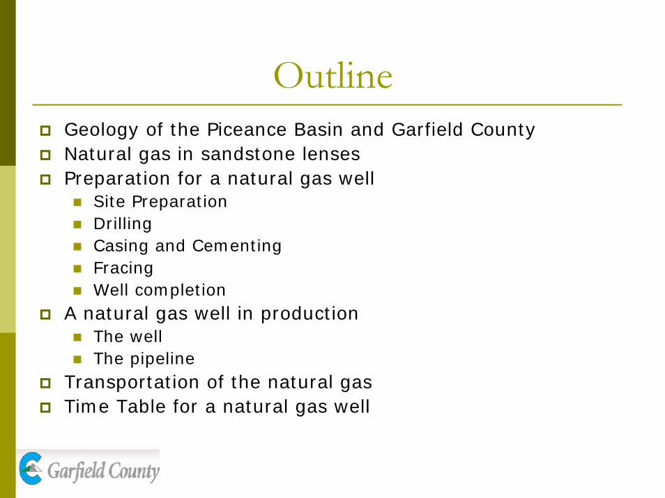
OutlineGeology of the Piceance Basin and Garfield CountyNatural gas in sandstone lensesPreparation for a natural gas well
Site PreparationDrillingCasing and CementingFracingWell completion
A natural gas well in production The wellThe pipeline
Transportation of the natural gasTime Table for a natural gas well

Piceance BasinThe Piceance Basin occupies approximately 6,000 square miles in northwestern ColoradoThe Piceance Basin covers most of Garfield CountyDue to advances in directional drilling of tight sand lenses, the Piceance Basin has become the new hotbed of natural gas plays

Geology of the Piceance Basin and Garfield County
Exposed along the north side of I-70 is the Roan Plateau which is part of the Green River formationBelow The Green River lies the Wasatch formation which occurs at or near the surface down to depths of about 3,500 feetWater from private wells is pumped out from alluvium and gravel deposits of the Wasatch located 20 to 250 ft below the surface
Green River
Aquifers
Green River
Williams Fork
Wasatch
Not to Scale

Geology (cont.)The Williams Fork Formation is the primary gas producer and occurs starting at about 4,000 ft in depth. The gas is trapped in “sandstone lenses” and sealed by impermeable shale layers.The natural gas wells in Garfield county are being drilled at depths of 4,000 to 9,000+ ft

Geology of Garfield County
Williams Fork
Fresh Water Zones
Wasatch
AlluviumColorado River

Sandstone LensesIn Garfield County, most production of natural gas is coming from sandstone lenses in the Williams Fork Formation of the Mesa Verde GroupWilliams Fork sandstones are referred to as “tight sands” due to their low permeability. Technological advances in drilling and stimulation techniques have increased the ability to produce this gasWilliams Fork sandstone lenses range in thickness from 0.5 to 29.0 ft (average = 9.3 ft) and width from 40.1 to 2,791.1 feet (average = 528.4 feet) – Rex Cole, Mesa State College

Sandstone Lenses (cont.)Sandstone lenses are stacked vertically but are discontinuous horizontally and vertically with impermeable shale separating themSandstone lenses must be penetrated vertically and most companies try to penetrate multiple lenses with each wellThe discontinuous nature and low permeability necessitates directional drilling on close spacing
Williams Fork
Drilling and Completion of a Natural Gas Well
Site PreparationDrillingCasing and CementingFracingWell Completion

Site PreparationSurveying and permittingRoad and pad constructionReserve pit excavation

Surveying and Permitting (1 month)No heavy equipment work can be performed without a permit issued by the Colorado Oil and Gas Conservation Commission (COGCC).

Drilling Site
1.Reserve Pits 2.Pad 3. Drilling Rig
4.Rig Tower 5.Employee Trailers
4
1 23
5

Road and Pad construction (1 week)Pad sizes are as large as they are to separate the wellhead from surrounding wildlife, crops or residences. In addition, the well pad must be large enough to accommodate emergency equipment, should it ever be necessary. Finally, a well pad must accommodate the various maintenance and construction equipment necessary for smooth operations and repairs during the life of the well.

Reserve Pit ExcavationThe reserve pit holds the fluid that comes out of the borehole during the drilling
Many companies are now starting to use “pit-less” closed-loop systems

Installation of the Drilling rig

Drilling rigs

Drill Rig Ancillary Equipment
Rig Power-Generating Equipment

Drill Rig Ancillary Equipment
Tubular (Pipe) Handling Components

Drilling the WellThe well is drilled by the rig rotating pipe (drillpipe) with a bit attached to the end –drillpipe is added in 30’lengthsWeight is applied to the bit through the use of drill collars - thick-walled tubular pieces machined from solid bars of steelMud is circulated in the hole during drilling to remove cuttings and maintain hydrostatic pressureMud is circulated through the drillpipe, out through the bit, and back to the surface on the outside of the drillpipe

Drilling the Well (continued)Blow-out preventers (BOPs) are installed at the surface to control any unexpected “kicks” in pressure – the BOPs have automatic and redundant systems to shut-in wellsMost operators in this area are also using equipment to separate gas from the mud stream in order to minimize flaringIn order to change bits, the drillpipe is periodically “tripped” out of the hole and stacked adjacent to the rig derrick

Directional DrillingThe advancement of directional drilling techniques has been key to tapping the resources of the Piceance BasinDirectional drilling from widely spaced well pads will minimize costs and environmental impact. Directional drilling allows a well to be drilled that deviates from the vertical

Directional DrillingTypical horizontal deviation of wells in this area is a maximum of about 2,500 feetThe nature of the Williams Fork formation being developed in this area requires that the formation be penetrated vertically – the “S”curveAlthough directional drilling increases the cost of a well, much of this cost is recouped through reduced pad construction and co-locating facilities on one padAs many as 12 wells have been drilled from one pad in this area

Casing and CementingConductorSurfaceProduction
20-50 ft.
500-2000 ft.
6000-9000 ft.

Conductor CasingConductor casing is installed first, usually prior to the arrival of the big drilling rig. The hole for conductor casing is often drilled with a small auger drill, mounted on the back of a truck. Conductor casing, which is usually no more than 20 to 50 feet long, is installed to prevent the top of the well from caving in and to help in the process of circulating the drilling fluid up from the bottom of the well. This casing is usually 16 to 20 inches in diameter. The conductor casing is cemented in place with normal cement and often is removed after the well is completed.

Surface CasingSurface casing, placed in a 12 ¼ inch borehole is a smaller diameter casing (9 5/8 inches) installed inside of the conductor casing.The primary purpose of surface casing is to protect shallow groundwater from drilling, completion and production operations.Surface casing in this area is set at a minimum of 10% of the total depth of a well - generally 600 to 1000 feet.Surface casing is cemented in place and is permanent.

Cementing the CasingEach layer of casing is cemented in place by a highly viscous cement Once the casing is set in place cement is pumped through the casing and back up into the space between the earth and the casing

Production CasingProduction casing provides a conduit from the surface of the well to the petroleum producing formation Provides a conduit to allow hydrocarbons to be extracted without intermingling with other fluids and formations found underground Used to prevent blowouts, allowing the formation to be 'sealed' from the top should dangerous pressure levels be reachedIs cemented in place and is permanent
Production CasingSetting production casing is the final step before well stimulation or fracing can beginThe production casing is set all the way to the bottom of a 7-inch diameter boreholeThe casing is 4.5 or 5 inches in diameterWhen cementing in the production casing, the same technique is used as in the other two layers of casing but the cement to hold this casing stops at least 500 ft above the “Top of Gas” layer to prevent natural gas leaks

Well Stimulation Well stimulation consists of various techniques used to increase the efficiency of the flow of gas into the production tubingHydraulic fracturing (fracing) is the most commonly used method of well stimulation in this area

FracingThe first part of stimulation is to penetrate the lenses Once there is a hole, water is pumped into the fractures at more than 10,000 psi from about ten pressure trucks. This is known as fracing

Fracing (continued)Fracing consists of pumping a water-based solution into the formation via perforations in the production casing under high pressure inducing fractures in the rockThe fracing fluid contains a proppant (usually clean sand) to hold the fractures open after the fluid is removedLength of fractures can be controlled but generally has a maximum length of approximately 1,500 ft

Well CompletionWell completion commonly refers to the process of finishing a well so that it is ready to produce natural gas Completion consists of inserting production tubing into the well, installing the final well head assembly, plumbing the well head to the production equipment, and flowing back the wellCompletion operations commonly require a short period of flaring to drill out plugs installed during the fracing operationsInitial flow back of well is monitored very closely until impurities (sand, mud, etc.) have been completely removed from the gas stream

Well Completion (continued)

Well Completion (continued)

ProductionOnce the well has been completed, it moves into the production stageGas stream is separated from liquids on site with gas being transported from the site via pipeline –liquids are generally stored in tanks and moved via truckMaintenance operations with a work-over rig may be required throughout the life of the wellInterim reclamation of site consists of reclaiming pits and shrinking site to area required for production

The WellheadThis four foot tall wellhead will remain on site in production for about 30 years until the well is plugged and restored.

Natural gas well in Production

Site Cleanup

Interim Well-Site Reclamation

Garfield County Wells in Production
GLENWOOD SPRINGS
PARACHUTE
CARBONDALE
DEBEQUE
RIFLE SILT

The Transportation ProcessOnce the gas is removed from the well it is purchased as it is transferred to the pipeline.Meters are installed from the wellhead to measure the amount of gas that is being purchased.

The pipeline and transportation
The pipeline runs from the production site to larger pipelines that carry the gas to processing
plants and then onto the consumer

Estimated Time TableAction Time
Surveying and Permitting 1 month
Pad and Location Construction
1 week
Drilling 3 weeks
Completion of drilling, “fracing,” and installation of production equipment
3 weeks
Typical “life” of a Williams Fork well
30 years

For More InformationGarfield County Oil & Gas Liaison
Doug DennisonPhone 970-625-5691Fax 970-625-0908Cell [email protected]
County Websitewww.garfield-county.comClick on “Oil & Gas” under “County Departments”