
Do the Blue! - Meetupfiles.meetup.com/929402/TIMS FORD BLUEWAY BROCHURE.pdf · • Blueway permit...
2
Trip Essentials The Tims Ford Blueway is a partnership between the city of Winchester, town of Estill Springs, Tims Ford State Park, Franklin County Government, Tennessee Department of Environment & Conservation, Tennessee Valley Authority, Tennessee Wildlife Resource Agency, Tims Ford Council. Franklin County Ministerial Clergy Kayakers, South Central Tennessee Development District, South Central Tennessee Tourism District, Winchester Downtown Development Corporation and Estill Springs Lions Club. • Blueway permit and map • Whistle or other sound signaling device • Photo identification • Fishing license (if fishing) • Drinking water • Flashlight • First aid kit • Camping gear (tent, food, etc.) if camping • Sun protection and insect repellent • Cell phone • Waterproof bags and extra dry clothing About the Blueway The Tims Ford Blueway is designed to meet the interests of a growing population of paddlers. The town of Estill Springs is located at the northern- most end of the Blueway. In the early 1800s the town’s mineral springs attracted individuals in pursuit of the reputed curative qualities of the water. Today, the remaining springs are still the source of the town’s water supply. Further downstream is the city of Winchester. The historic district offers antique shops, art galleries and fine dining. Access to the Blueway as well as camping is available at the City Park. Nearby Tims Ford State Park is named for an early river crossing and is known for its scenic views, natural surroundings and biologically significant habitats. The park offers camping, cabin rentals, a marina, hiking and biking trails with spectacular views of the reservoir, and access to the Blueway. Five islands, accessible only by boat, can be reserved for primitive camping through the state park. Do the Blue! Tims Ford Lake is located in Franklin County, in the south central portion of Tennessee. The lake is formed by the 175-foot-tall Tims Ford Dam that stretches 1,580 feet across the Elk River. The reservoir covers 10,700 acres with a maximum depth of 150 feet and 255 miles of shoreline. Construction of the dam by the Tennessee Valley Authority (TVA) began in 1966. In 1970 the dam was completed and within a few weeks the reservoir was filled. In addition to power generation and recreation, Tims Ford provides water supply and flood damage control on the Elk River. Tims Ford Lake is named for a crossing on the Elk River near Winchester, Tennessee. The crossing, or ford, was on or near land owned by Abner Mansfield Tims, an early settler in the area. Public River Access Latitude/Longitude Tims Ford State Park/Lakeview Marina 35°1238.5308, 86°1449.3908 Winchester City Park 35°1202.8980, 86°0739.9036 Estill Springs City Park 35°1537.8468, 86°0658.3344 Dry Creek Beach 35°1113.8192, 86°0808.4768 Fairview Campground/Devil Step Boat Ramp 35°1211.7720, 86°0953.6868 Holiday Landing Marina 35°1608.2488, 86°1441.0496 Tims Ford Marina 35°1320.9424, 86°1420.0364 Taylor Creek Greenway 35°1606.8304, 86°0805.8344 Awalt Bridge 35°1513.5000, 86°1515.6564 Lost Creek Boat Ramp 35°1532.1696, 86°1816.7256 Anderton Branch Boat Ramp 35°1334.8240, 86°1743.9692 Pleasant Grove Boat Ramp 35°1558.1580, 86°1201.6092 Rock Creek Boat Ramp 35°1507.9488, 86°0831.4952 Turkey Creek Boat Ramp 35°1559.9220, 86°1631.0476 Devils Step Island 35°1211.7720, 86°0953.6868 Maple Bend Island 35°1302.0100, 86°1132.8740 Goose Island 35°1235.7552, 86°1133.1836 Leatherwood Island 35°1210.0044, 86°1452.7892 Big Island 35°1257.4668, 86°1602.3124 Little Island 35°1240.2984, 86°1619.3080 Find other land and water trails in Tennessee at: http://connectwithtn.com For boating information and safety, visit: www.state.tn.us/twra For information on TVA public lands and lake information, visit: www.tva.com/river/recreation Do you have a question about TVA Public Land? Call 1-800-882-5263 or visit www.tva.com/plic 14-127 9/14
Transcript of Do the Blue! - Meetupfiles.meetup.com/929402/TIMS FORD BLUEWAY BROCHURE.pdf · • Blueway permit...
Trip Essentials
The Tims Ford Blueway is a partnership between the city of Winchester, town of Estill Springs, Tims Ford State Park, Franklin County Government, Tennessee Department of Environment & Conservation, Tennessee Valley
Authority, Tennessee Wildlife Resource Agency, Tims Ford Council. Franklin County Ministerial Clergy Kayakers, South Central Tennessee Development District, South Central Tennessee Tourism District, Winchester Downtown
Development Corporation and Estill Springs Lions Club.
• Blueway permit and map• Whistle or other sound signaling
device• Photo identification• Fishing license (if fishing)• Drinking water• Flashlight• First aid kit
• Camping gear (tent, food, etc.) if camping
• Sun protection and insect repellent
• Cell phone• Waterproof bags and extra dry
clothing
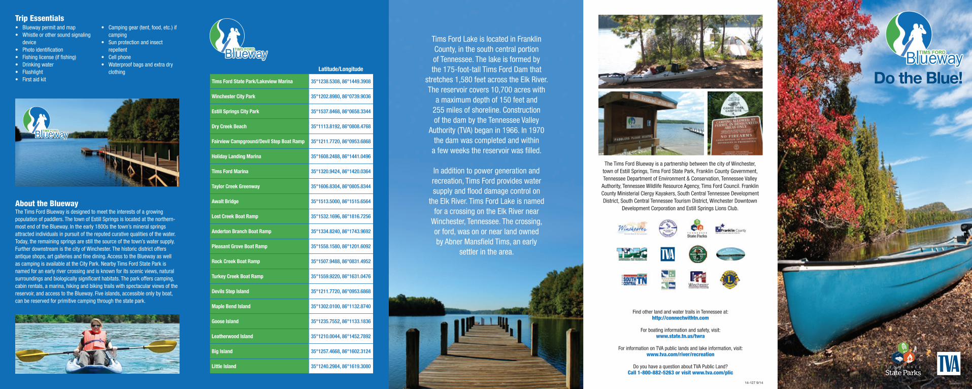
About the BluewayThe Tims Ford Blueway is designed to meet the interests of a growing population of paddlers. The town of Estill Springs is located at the northern- most end of the Blueway. In the early 1800s the town’s mineral springs attracted individuals in pursuit of the reputed curative qualities of the water. Today, the remaining springs are still the source of the town’s water supply. Further downstream is the city of Winchester. The historic district offers antique shops, art galleries and fine dining. Access to the Blueway as well as camping is available at the City Park. Nearby Tims Ford State Park is named for an early river crossing and is known for its scenic views, natural surroundings and biologically significant habitats. The park offers camping, cabin rentals, a marina, hiking and biking trails with spectacular views of the reservoir, and access to the Blueway. Five islands, accessible only by boat, can be reserved for primitive camping through the state park.
Do the Blue!
Tims Ford Lake is located in Franklin County, in the south central portion of Tennessee. The lake is formed by the 175-foot-tall Tims Ford Dam that
stretches 1,580 feet across the Elk River. The reservoir covers 10,700 acres with
a maximum depth of 150 feet and 255 miles of shoreline. Construction of the dam by the Tennessee Valley
Authority (TVA) began in 1966. In 1970 the dam was completed and within
a few weeks the reservoir was filled.
In addition to power generation and recreation, Tims Ford provides water supply and flood damage control on
the Elk River. Tims Ford Lake is named for a crossing on the Elk River near
Winchester, Tennessee. The crossing, or ford, was on or near land owned by Abner Mansfield Tims, an early
settler in the area.
Public River Access Latitude/Longitude
Tims Ford State Park/Lakeview Marina 35°1238.5308, 86°1449.3908
Winchester City Park 35°1202.8980, 86°0739.9036
Estill Springs City Park 35°1537.8468, 86°0658.3344
Dry Creek Beach 35°1113.8192, 86°0808.4768
Fairview Campground/Devil Step Boat Ramp 35°1211.7720, 86°0953.6868
Holiday Landing Marina 35°1608.2488, 86°1441.0496
Tims Ford Marina 35°1320.9424, 86°1420.0364
Taylor Creek Greenway 35°1606.8304, 86°0805.8344
Awalt Bridge 35°1513.5000, 86°1515.6564
Lost Creek Boat Ramp 35°1532.1696, 86°1816.7256
Anderton Branch Boat Ramp 35°1334.8240, 86°1743.9692
Pleasant Grove Boat Ramp 35°1558.1580, 86°1201.6092
Rock Creek Boat Ramp 35°1507.9488, 86°0831.4952
Turkey Creek Boat Ramp 35°1559.9220, 86°1631.0476
Devils Step Island 35°1211.7720, 86°0953.6868
Maple Bend Island 35°1302.0100, 86°1132.8740
Goose Island 35°1235.7552, 86°1133.1836
Leatherwood Island 35°1210.0044, 86°1452.7892
Big Island 35°1257.4668, 86°1602.3124
Little Island 35°1240.2984, 86°1619.3080
Find other land and water trails in Tennessee at: http://connectwithtn.com
For boating information and safety, visit: www.state.tn.us/twra
For information on TVA public lands and lake information, visit: www.tva.com/river/recreation
Do you have a question about TVA Public Land? Call 1-800-882-5263 or visit www.tva.com/plic
14-127 9/14
Hurricane Creek/Marina Route
Turkey Creek Boat Ramp – Holiday Landing: Put-in at the Turkey Creek boat ramp, stay on the left shoreline, and follow the signs to Holiday Landing. This is a charming 2.5 mile paddle past TVA land with forest and rolling hill vistas. Primitive camping available by permit. Lodging and restaurant at Holiday Marina. Put-in/take-out drive time: 10 minutes.
Turkey Creek Boat Ramp – Hurricane Creek Loop: Put-in at Turkey Creek and follow the beautiful cove of “Hurricane Creek” (a moderately large tributary). This paddle is roughly 2 miles but can easily be extended or shortened. Mostly wooded areas with some private residences. Primitive camping available.
Turkey Creek – Awalt Bridge and Cove: This 1.5 mile paddle will take you past wooded hillsides to Awalt Bridge. This area experiences heavy boat traffic. Paddle up Awalt Cove for a quieter experience or paddle to the first cove on your right after the bridge to see Awalt Falls. Put-in/take-out drive time: 10 minutes.
Holiday Landing Resort – Awalt Bridge: Grab a bite to eat and then set out on this 1.5 mile paddle. Shoreline is predominately wooded. Paddle south when exiting the cove then head left toward the main channel. Paddle to the first cove on your right after the bridge to see Awalt Falls. Watch for boats. Put-in/take-out drive time: 10 minutes.
Awalt Bridge – Mouth of Hurricane Creek: Park at the roadside pull-off at Awalt Cove. Paddle to the first cove on your right after the bridge to see Awalt Falls. Continue on this 2 mile paddle to the mouth of Hurricane Creek. This is a gorgeous wooded area with some residences. Highland Ridge subdivision is located on the left bank. Four miles round-trip.
Mouth of Hurricane Creek – Tims Ford Marina: Feeling hungry? Extend your paddle 2 miles to Tims Ford Marina. Follow the right side of the shoreline up
through Anderson Branch cove to Tims Ford Marina. Lodging is available at Tims Ford Marina.
Tims Ford Marina – Tims Ford State Park/Lakeview Marina: This 2.5 mile paddle will take you through one of the largest stretches of water on the reservoir. Take a right out of Anderson Branch cove, go under the bridge, and keep to the right after traveling down a long wooded peninsula. The left shoreline houses Heatherwood subdivision. Once you’ve arrived, grab a bite to eat at the marina, go for a hike, or take a swim at beautiful Tims Ford State Park. Put-in/take-out drive time: 10 minutes. Camping and cabins are also available.
Campground – Lakeview Marina Loop: Camp out at Tims Ford State Park then paddle from the campground to Lakeview Marina and back to grab some pizza and ice cream. Low boat traffic allows paddlers to enjoy scenic views of the park’s flora and fauna.
Tims Ford State Park Boat Ramp – Leatherwood Island: Paddle 0.5 mile out to Leatherwood Island. Catch a glimpse of the Bear Trace golf course on your right and Heatherwood subdivision on your left.
Tims Ford State Park Boat Ramp – Kitchen Creek: This 3 mile round trip paddle will take you south across a fairly wide and heavily used section of the lake into scenic Kitchens Creek cove. This cove is comprised of TVA land and has deep, clear water with beautiful wooded shorelines.
Leatherwood Island – Little Island: From Leatherwood Island paddle west towards the Bear Trace Golf Course, and then follow the right shoreline north towards Little Island on this 2 mile paddle. Camping permit required.
Little Island – Big Island: From Little Island travel north 0.5 mile to Big Island. Camping permit required.
Big Island – Anderton Branch Boat Ramp: Paddle 2.5 miles northwest around the Beech Hill residential community into Anderton Branch cove. This quiet cove contains many small fingers surrounded by a wooded shoreline and is excellent for bird watching.
Lost Creek Boat Ramp – Big Island: Put-in at Lost Creek boat ramp and travel southeast to Big Island on this 6 mile round-trip trek.
Lost Creek Boat Ramp – Anderton Branch Boat Ramp: Paddle 3.5 miles. There will be many side coves excellent for fishing and nature watching. Put-in/ take-out drive time: 20 minutes.
Pleasant Grove/Little Hurricane Creek
Pleasant Grove Boat Ramp – Little Hurricane Creek Loop: Head south out of Pleasant Grove Boat Ramp into Little Hurricane cove for a gorgeous 4 mile round-trip paddle surrounded by Owl Hollow WMA, which has minimal residential development. Stay to the shoreline to explore the many small fingers of this cove. This area has great fishing and bird-watching areas. Extend your paddle up Long Branch or Carvers Branch cove to escape the traffic and take a swim. Add 2 miles per cove.
Island Route/Devils Triangle
Devil Step Boat Ramp – Goose Island: This 1.25 mile paddle will take you through one of the largest sections of the lake. Take a left out of the boat ramp and
head west while hugging the south shore. You will pass several coves on your left, excellent for fishing. These coves border Owl Hollow WMA. Keeping heading west to see Goose Island. Camping permit required.
Devil Step Boat Ramp – Maple Bend Island: This 2 mile paddle will take you through one of the largest sections of the lake. Take a left (west) out of the boat ramp and stay on the south shore past several coves, then north past Goose Island.
Winchester Springs Loop: Paddle north from Maple Bend Island to beautiful Winchester Springs Branch surrounded by Owl Hollow WMA on this 3 mile round trip. This area has many small coves great for fishing, swimming, and nature watching
Goose Island – Maple Bend Island: From Goose Island travel north 0.5 mile to Maple Bend Island. Camping permit required.
Goose Island Loop: Head south out of Goose Island into Owl Hollow Creek for this 4 mile round trip. This blue cove is comprised of Owl Hollow WMA and has steep wooded hillsides, clear waters, and excellent fishing.
Devil Step Island – Goose Island – Maple Bend Island: Dare to do the Devil’s Triangle? Head west 1.5 miles from Devil Step Island across a wide section of the lake to Goose Island, then 0.5 mile from Goose to Maple Bend, and back 1.5 miles to Devil Step for a grand total of 4 miles. The north shore is somewhat developed, while the south shore is predominantly wooded.
Winchester Wing/Boiling Fork/Dry Creek
Winchester City Park Loop: Take a left (east) out of Winchester City Park and paddle under Highway 131 Bridge. Continue past Winchester Village subdivision on left toward downtown Winchester to bridge on 41A. Visit the Old Jail House Museum or grab a bite to eat on the square along this 4-6 mile round trip.
Winchester City Park – Dry Creek: Paddle 2 miles southeast to Dry Creek cove. The western shore is comprised of Dripping Springs subdivision while the eastern shore is somewhat wooded. Visit Dry Creek beach for a game of volleyball or a swim. Continue past Dry Creek beach to the tip of the cove to camp on TVA land (primitive only). Put-in/take-out drive time: 10 minutes. Light to moderate boat traffic.
Dry Creek Beach Loop: Put-in at Dry Creek beach and take the loop by heading south down to the cove. The western shore is comprised of Dripping Springs subdivision while the eastern shore is more wooded. Primitive camping available on TVA land at tip of cove.
Winchester City Park – Devil Step Boat Ramp: Head right (west) out of Winchester City Park past Dripping Springs subdivision on the left. Continue west following the southern shoreline past Fairview/Devil Step campground to Devil Step boat ramp. Shorelines are predominately developed, except for some portions of TVA and state park land.
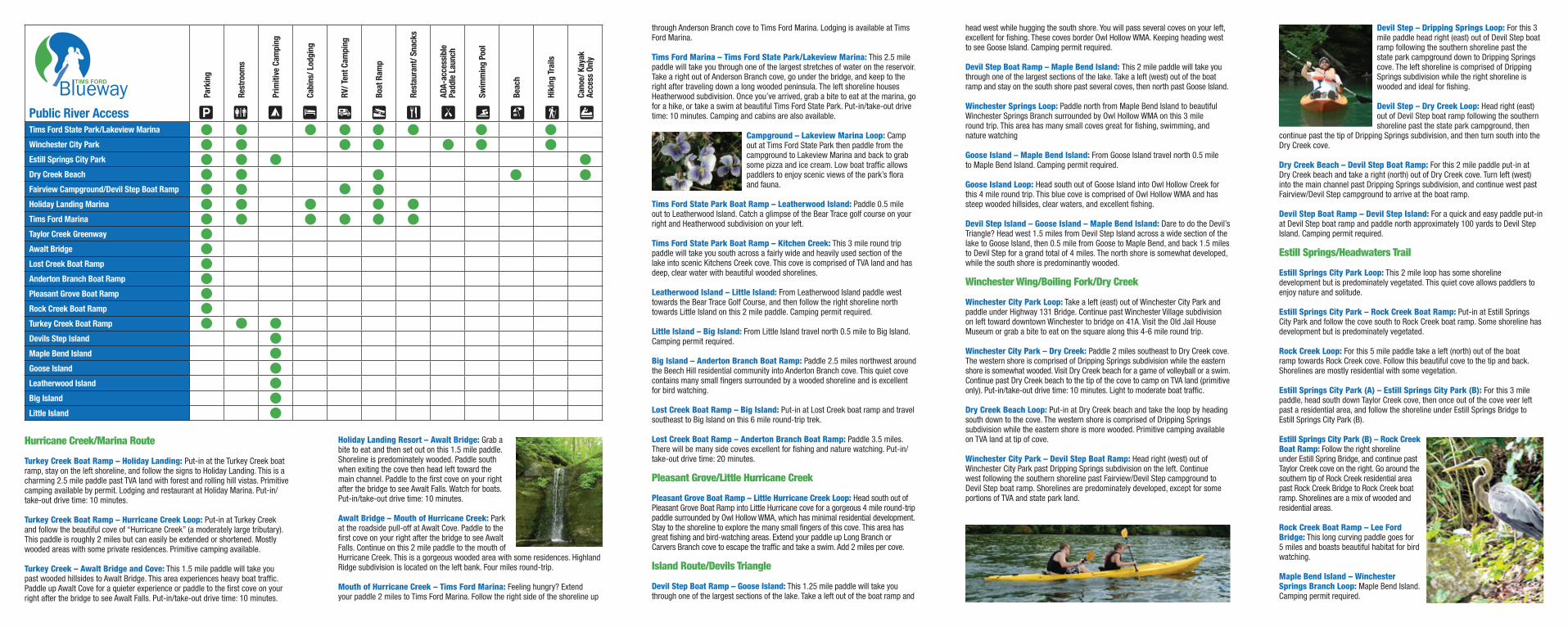
Devil Step – Dripping Springs Loop: For this 3 mile paddle head right (east) out of Devil Step boat ramp following the southern shoreline past the state park campground down to Dripping Springs cove. The left shoreline is comprised of Dripping Springs subdivision while the right shoreline is wooded and ideal for fishing.
Devil Step – Dry Creek Loop: Head right (east) out of Devil Step boat ramp following the southern shoreline past the state park campground, then
continue past the tip of Dripping Springs subdivision, and then turn south into the Dry Creek cove.
Dry Creek Beach – Devil Step Boat Ramp: For this 2 mile paddle put-in at Dry Creek beach and take a right (north) out of Dry Creek cove. Turn left (west) into the main channel past Dripping Springs subdivision, and continue west past Fairview/Devil Step campground to arrive at the boat ramp.
Devil Step Boat Ramp – Devil Step Island: For a quick and easy paddle put-in at Devil Step boat ramp and paddle north approximately 100 yards to Devil Step Island. Camping permit required.
Estill Springs/Headwaters Trail
Estill Springs City Park Loop: This 2 mile loop has some shoreline development but is predominately vegetated. This quiet cove allows paddlers to enjoy nature and solitude.
Estill Springs City Park – Rock Creek Boat Ramp: Put-in at Estill Springs City Park and follow the cove south to Rock Creek boat ramp. Some shoreline has development but is predominately vegetated.
Rock Creek Loop: For this 5 mile paddle take a left (north) out of the boat ramp towards Rock Creek cove. Follow this beautiful cove to the tip and back. Shorelines are mostly residential with some vegetation.
Estill Springs City Park (A) – Estill Springs City Park (B): For this 3 mile paddle, head south down Taylor Creek cove, then once out of the cove veer left past a residential area, and follow the shoreline under Estill Springs Bridge to Estill Springs City Park (B).
Estill Springs City Park (B) – Rock Creek Boat Ramp: Follow the right shoreline under Estill Spring Bridge, and continue past Taylor Creek cove on the right. Go around the southern tip of Rock Creek residential area past Rock Creek Bridge to Rock Creek boat ramp. Shorelines are a mix of wooded and residential areas.
Rock Creek Boat Ramp – Lee Ford Bridge: This long curving paddle goes for 5 miles and boasts beautiful habitat for bird watching.
Maple Bend Island – Winchester Springs Branch Loop: Maple Bend Island. Camping permit required.
Public River Access
Park
ing
Rest
room
s
Prim
itive
Cam
ping
Cabi
ns/ L
odgi
ng
RV/ T
ent C
ampi
ng
Boat
Ram
p
Rest
aura
nt/ S
nack
s
ADA-
acce
ssib
le
Padd
le L
aunc
h
Swim
min
g Po
ol
Beac
h
Hiki
ng T
rails
Cano
e/ K
ayak
Ac
cess
Onl
y
Tims Ford State Park/Lakeview Marina
Winchester City Park
Estill Springs City Park
Dry Creek Beach
Fairview Campground/Devil Step Boat Ramp
Holiday Landing Marina
Tims Ford Marina
Taylor Creek Greenway
Awalt Bridge
Lost Creek Boat Ramp
Anderton Branch Boat Ramp
Pleasant Grove Boat Ramp
Rock Creek Boat Ramp
Turkey Creek Boat Ramp
Devils Step Island
Maple Bend Island
Goose Island
Leatherwood Island
Big Island
Little Island