CS 4518 Mobile and Ubiquitous Computing -...
40
CS 4518 Mobile and Ubiquitous Computing Lecture 10: Location-Aware Computing Emmanuel Agu
Transcript of CS 4518 Mobile and Ubiquitous Computing -...

CS 4518 Mobile and Ubiquitous Computing
Lecture 10: Location-Aware Computing
Emmanuel Agu

Reminder: Final Project
1-slide from group next Monday (2/6): 2/40 of final project grade
Slide should contain 3 bullets
1. Problem you intend to work on
Solve WPI/societal problem (e.g. walking safe at night)
Use at least location, 1 sensor or camera
If games, must gamify solution to real world problem
2. Why this problem is important
E.g. 37% of WPI students feel unsafe walking home
3. Summary of envisioned mobile app (?) solution
1. E.g. Mobile app automatically texts users friends when they get home at night
Can bounce ideas of me (email, or in person)
Can change idea any time

Location-Aware Apps from Past Offerings

Location-Aware Ideas from Previous Offerings
Ground rules: Apps must use mobile, location or sensors
Try to solve problems of benefit to WPI community
More than half of apps used location.
Give me some space: Bianchi, Chow, Martinez ’16 Find available study spaces on campus during exam
week
Set up geoFences at study locations, count users in/out

Location-Aware Ideas from Previous Offerings
HomeSafe: Nickerson, Feeley, Faust ’16 Safety app
Automatically sends message to users’ subscribers when they get home safely

Location-Aware Computing
Definition: Location-aware applications generate outputs/behaviors that depend on a user’s location
Examples: Map of user’s “current location”
Print to “closest” printer
Apps that find user’s friends “closeby”
Reviews of “closeby” restaurants
Above apps require first determining user’s location

Determining User Location on Smartphones

Location Tracking on Smartphones
Outdoors: Uses GPS (More accurate)
Indoors: WiFi or cell tower signals (Location fingerprinting, less accurate)

Global Positioning System (GPS)
27 satellites orbiting earth
20,000 km above earth (Medium earth orbit)
6 orbital planes with 4 satellites each
4 satellites visible from any spot on earth
Location of any location on earth specified as <longitude,latitude>
E.g. Worcester MA has Latitude: 42.2625,
Longitude: -71.8027778

GPS User Segment
Triangulation: GPS receiver calculates user’s position by comparing roundtrip delay of signals to multiple satellites at known positions
Accuracy within 5 - 10 meters (16-32 feet)
10
http://adamswalk.com/gpx-2/

Determining User Location GPS reasonably accurate but
Requires line-of-sight between satellite and car receiver
Only works OUTDOORS (signals don’t penetrate buildings)
Lag/delay in acquiring satellites (~270 msec) or re- acquiring if lost
Drains battery power
Alternative: Use Wi-Fi location sensing indoors
Satellite
270msec

WiFi Location Fingerprinting
Key insight: At each (X,Y) location, WiFi APs observed + their signal strengths, is unique
WiFi Location fingerprinting: Infer device’s location based on combination of Wi-Fi access points seen + Signal Strengths
Location (X,Y)
AP1
AP2
AP3
OBSERVED AP SIGNAL
STRENGTH
AP1 AP2 AP3
(X,Y) 24 36 45

OBSERVED SIGNAL
STRENGTH
AP1 AP2 AP3 AP4
- 24 36 45
13
PRE-RECORDED TUPLES
::::::::::::::::::
44-1222145380
::::::::::::::::::
3628-16210350
::::::::::::::::::
4239214355260
443625-355220
::::::::::::::::::
610203614540
812283214580
::::::::::::::::::
AP4AP3AP2AP1YX
SIGNAL STRENGTHLOCATION
Location Estimation using Wi-Fi Fingerprinting
PRE-RECORDED TUPLES
::::::::::::::::::
44-1222145380
::::::::::::::::::
3628-16210350
::::::::::::::::::
4239214355260
443625-355220
::::::::::::::::::
610203614540
812283214580
::::::::::::::::::
AP4AP3AP2AP1YX
SIGNAL STRENGTHLOCATION
Inference Algorithms• Min. Threshold• Euclidean Dist.• Joint Probability• Bayesian Filters
Google builds and stores this database (APs + Signal Strength)
at each X,Y location)
Location (X,Y)??

How to Build table of APs observed at (X,Y) Locations?
Devices (e.g. smartphone) with GPS and WiFi turned on simultaneously build table
Send to third party repositories (e.g. Wigle.net) or Google
Also called war driving
Can record cell tower signal strength instead of AP
PRE-RECORDED TUPLES
::::::::::::::::::
44-1222145380
::::::::::::::::::
3628-16210350
::::::::::::::::::
4239214355260
443625-355220
::::::::::::::::::
610203614540
812283214580
::::::::::::::::::
AP4AP3AP2AP1YX
SIGNAL STRENGTHLOCATION
PRE-RECORDED TUPLES
::::::::::::::::::
44-1222145380
::::::::::::::::::
3628-16210350
:::::::::::::::
4239214355260
443625-355220
::::::::::::::::::
610203614540
812283214580
::::::::::::::::::
AP4AP3AP2AP1YX
SIGNAL STRENGTHLOCATION
GPS gathers
Location (X,Y)
WiFi card gathers
APs seen + Signal Strengths
Google gathers
Location, AP seen
Data if you consent

Location Sensing in Android Apps

Google Location APIshttps://developer.android.com/guide/topics/location/strategies.html
Location API is now part of Google Play Services (newer!)
Older Android framework location APIs (android.location) Used by most books, online sources. We will use that
http://developer.android.com/guide/topics/location/strategies.html
LocationManager: Android module receives location updates from GPS, WiFi, etc
App registers/requests location updates from LocationManager
Your app
LocationManager
requestLocationUpdates( LocationListener )
onStatusChanged
onProviderEnabled
onProviderDisabled
GPS WiFi or Cell

Your app
LocationManager
requestLocationUpdates( LocationListener )
onStatusChanged
onProviderEnabled
onProviderDisabled
Create listener for
Location info
Callback methods called
by Location manager
(e.g. when location changes))
Type of location Provider
(e.g. cell tower and Wi-Fi based)Listener that receives
callbacks
Requesting Location Updates

Requesting User Permissionshttps://developer.android.com/guide/topics/location/strategies.html
Need smartphone owner’s permission to use their GPS
ACCESS_FINE_LOCATION: GPS
ACCESS_COARSE_LOCATION: WiFi or cell towers

Getting Cached Copy of Location (Fast)https://developer.android.com/guide/topics/location/strategies.html
Getting current location may take a while
Can choose to use location cached (possibly stale) from Location Manager

Stopping Listening for Location Updateshttps://developer.android.com/guide/topics/location/strategies.html
Location updates consume battery power
Stop listening for location updates whenever you no longer need
Distance Travelled Updates using Services Example from Head First Android

Example: Odometer (Distance Travelled) updates as a Services (Ref: Head First Android pg 541)
Services: long running background processes, no UI
May want background service (a module in our app) to continuously retrieve location updates from LocationManager, forward our Activity updates
Ref: Head First Android pg 541
Example of using a Service
Nice Example app using Odometer Service
Tracks distance travelled
Gets, displays distance travelled every 10 secs

Example: Odometer (Distance Travelled) updates as a Services(Ref: Head First Android pg 541)
Example odometer app that tracks distance travelled
getMiles( ), displays distance travelled every 10 seconds
Study this example!!!

Location Representation

Semantic Location
GPS represents location as <longitude,latitude>
Semantic location is better for reasoning about locations
E.g. Street address (140 Park Avenue, Worcester, MA) or (building, floor, room)
Android supports:
Geocoding: Convert addresses into longitude/latitude coordinates
Reverse geocoding: convert longitude/latitude coordinates into human readable address
Android Geocoding API: access to geocoding and reverse geocoding services using HTTP requests

Google Places API Overview
Access high-quality photos of a place
Users can also add place information to the database
E.g. business owners can add their business as a place in Places database
Other apps can then retrieve info after moderation
On-device caching: Can cache places data locally on device to avoid roundtrip delays on future requests
Google Places
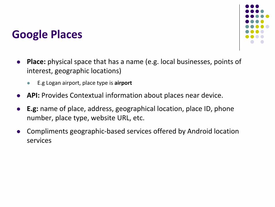
Place: physical space that has a name (e.g. local businesses, points of interest, geographic locations)
E.g Logan airport, place type is airport
API: Provides Contextual information about places near device.
E.g: name of place, address, geographical location, place ID, phone number, place type, website URL, etc.
Compliments geographic-based services offered by Android location services

Sample Place Types

Google Places API Overview
Use Place picker UI: allows users select place from “possible place” on a map
Get current place: place where device is last known to be located
Returns list of likely places + likelihood device is in that place

Google Places API Overview
Autocomplete: queries the location database as users type, suggests nearby places matching letters typed in

Learning Google Places API
Official Google Places website is “decent”, up to date: https://developers.google.com/places/
Two great references:a) Getting started with Google Places API
https://developers.google.com/places/android-api/start
b) Tutorial by Paul Trebilcox-Ruiz may be more readable:
http://code.tutsplus.com/articles/google-play-services-using-the-places-api--cms-23715

Other Useful Google Maps/Location APIs

Other Maps/Useful Location APIs
Maps Directions API: calculates directions between locations (walking, driving) as well as public transport directions
Distance Matrix API: Calculate travel time and distance for multiple destinations
Elevation API: Query locations on earth for elevation information, calculate elevation changes along routes
Other Useful Maps/Location APIs
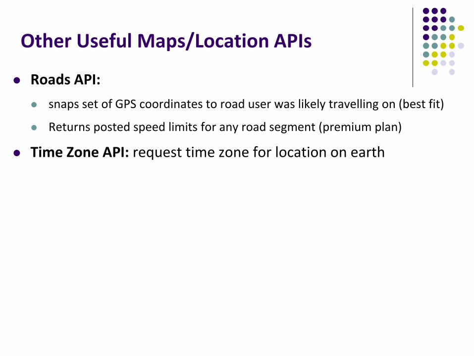
Roads API:
snaps set of GPS coordinates to road user was likely travelling on (best fit)
Returns posted speed limits for any road segment (premium plan)
Time Zone API: request time zone for location on earth

GeoFencinghttps://developer.android.com/training/location/geofencing.html
Geofence: Sends alerts when user is within a certain radius to a location of interest
Can be configured to send: ENTER event when user enters circle
EXIT event when user exits circle
Can also specify a duration or DWELL user must be in circle before triggering event

GeoFencinghttps://developer.android.com/training/location/geofencing.html
Great reference: How to work with GeoFences on Android by Tin Megali
https://code.tutsplus.com/tutorials/how-to-work-with-geofences-on-android--cms-26639

Some Interesting Location-Aware Apps

MileIQ
The Problem: Mileage tracking is useful but a burden.
IRS deductions on taxes
Some companies reimburse employees for mileage,
Passively, automatically tracks business mileage, IRS compliant
Swipe right after drive to indicate it was a business trip
Project idea? Implement some of this functionality
How Android modules? For what?
What stats to decide if this is tackling important problem?

Trigger Use geofences, NFC, bluetooth, WiFi connections,
etc to set auto-behaviors
Battery low -> turn off bluetooth + auto sync
Silence phone every morning when you get to work
Turn off mobile data when you connect to your home WiFi
Silence phone and set alarm once I get into bed
Use geofence for automatic foursquare checkin
Launch maps when you connect to your car’s bluetooth network
Project idea? Implement subset of these features
What triggers would be useful for a WPI student?

References
John Corpuz, 10 Best Location Aware Apps
Liane Cassavoy, 21 Awesome GPS and Location-Aware Apps for Android,
Head First Android
Android Nerd Ranch, 2nd edition
Busy Coder’s guide to Android version 6.3
CS 65/165 slides, Dartmouth College, Spring 2014
CS 371M slides, U of Texas Austin, Spring 2014