
Create Orthoimage from Aerial and Satellite Imagery · 2019-08-08 · (Drone, Satellite, Aerial,...
14
Create Orthoimage from Aerial and Satellite Imagery Hong Xu
Transcript of Create Orthoimage from Aerial and Satellite Imagery · 2019-08-08 · (Drone, Satellite, Aerial,...

Create Orthoimage from Aerial and
Satellite ImageryHong Xu

Outline
• ArcGIS Pro ortho mapping capabilities
• Demos
- Drone images -- whole processing workflow
- Digital aerial images -- create ortho mapping workspace
- Satellite images – increase accuracy with reference image
• Q/A

ArcGIS Pro Ortho Mapping Capabilities
• Process
- Satellite images
- Drone images
- Digital aerial images
- Scanned aerial photographs
• Produce
- Digital Surface Model (DSM)
- Digital Terrain Model (DTM)
- Orthomosaics
.

ArcGIS Pro Ortho User ExperienceAutomatic and guided workflows
Generate
Orthomosaic/DEM
products
Create Ortho mapping
Workspace(Drone, Satellite,
Aerial, Scanned)
Perform
block adjustment
Input image
collection
OrthomosaicDEM
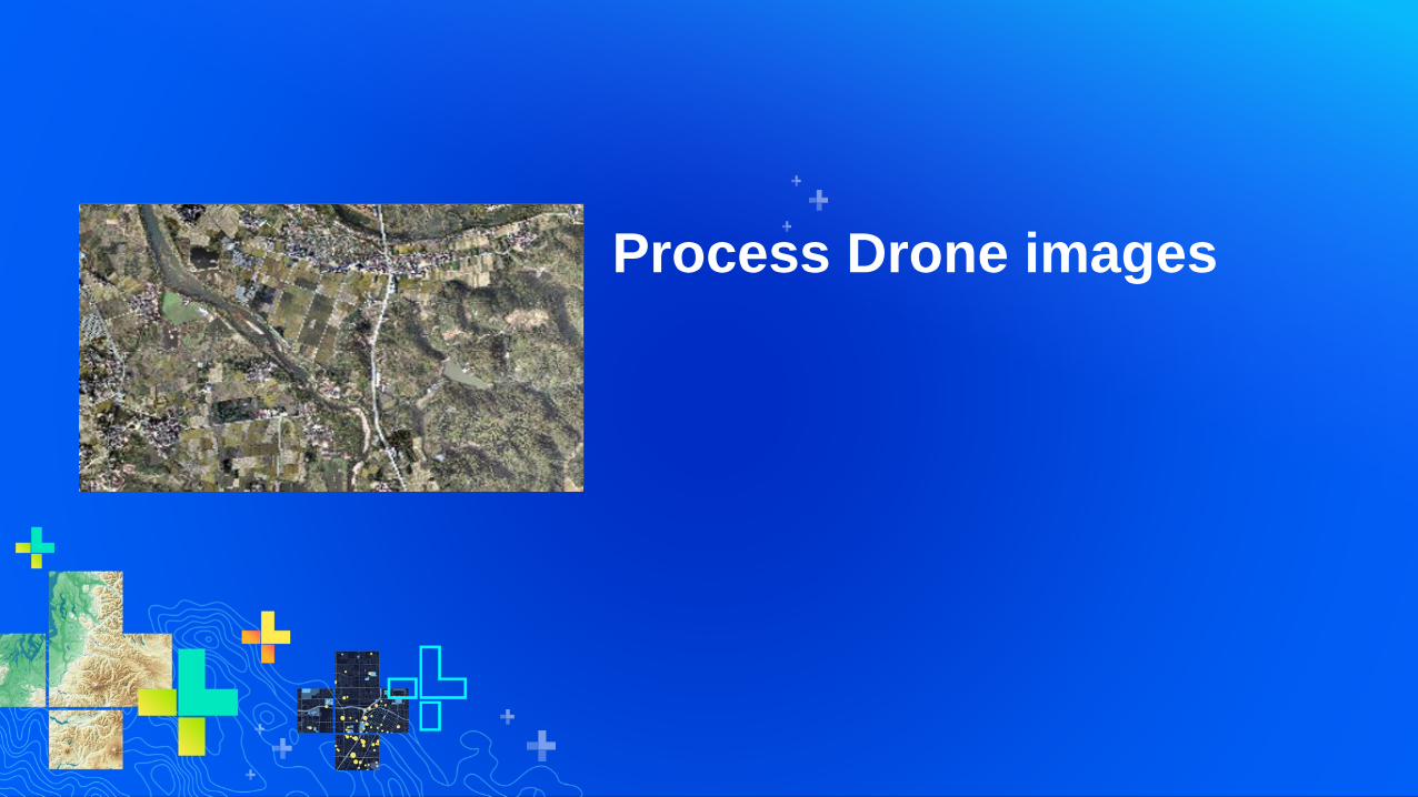
Process Drone images

Drone Workflow.
• 21 images out of 225 images
• create DSM and orthomosaic

Drone WorkflowExample: processing Altum dataset
• Adjust (tie point generation, band
alignment, triangulation)
• produce surface reflectance and
NDRE index map

Process Aerial Imagery

Digital Aerial Image Workflow
• 22 images of Trimble Applanix
• Create workspace from EO table

Process Satellite Data

Satellite Workflow
• Input
- 4 ZY3 images
- Georeferenced image chips
- 90m SRTM data

Tips for Ortho Mapping WorkspaceCreate, Import, Add, Copy/Paste, Rename
• Copy/paste workspaces within Pro project
- Use it to keep intermediate results, recommended!
• Create
- From scratch
- From existing mosaic dataset – satellite multiple sensors
- From existing workspace – import only the adjustment mosaic
• Import
- copy whole workspace to current project
• Add
- Add reference to an existing workspace

More on Ortho Mapping ProductsOrtho Mapping is part of ArcGIS Pro
• Ortho mosaic dataset
• Ortho photos
- Export Mosaic Dataset Items tool
• Ortho tiles
- Split Raster tool
• Map caches
- Manage Tile Cache tool
• Index map using raster functions
• Measure Volume from DEM (2.4)